Top 6 Mountain Passes in Los Padres National Forest
Best mountain passes in Los Padres National Forest traverse a rugged and diverse landscape, offering access to remote wilderness areas. This region features the Santa Ynez Mountains and the highest point in the forest, Mount Pinos. The area provides routes through varied terrain, including pine forests, chaparral, and coastal views. Notable landmarks include the San Andreas Fault and the Caliente Range.
Best mountain passes in Los Padres National Forest
- The most popular mountain passes is Nacimiento-Fergusson Rd ⛰️ Plaskett Ridge…
Last updated: July 8, 2026
Pine Mountain Ridge Climb
Highlight (Segment) • Climb
Tip by

East Camino Cielo paved section
Highlight (Segment) • Cycleway
Tip by

Sign up now to discover places like this
Get recommendations on the best single tracks, peaks, & plenty of other exciting outdoor places.
Sign up for free
Nacimiento-Fergusson Road — Big Sur
Highlight (Segment) • Mountain Pass
Tip by
Nacimiento-Fergusson Rd ⛰️ Plaskett Ridge summit down to Hwy 1
Highlight (Segment) • Mountain Pass
Tip by
Hwy 33 - Hudson Ranch Road Climb
Highlight (Segment) • Climb
Tip by

Sign up for free to discover even more mountain passes in Los Padres National Forest.
Sign up for free
Already have an account?
Start today with a free account
Your next adventure awaits.
Login or Signup
Popular around Los Padres National Forest

California Coastal Trail — Following the coastline from Mexico to Oregon
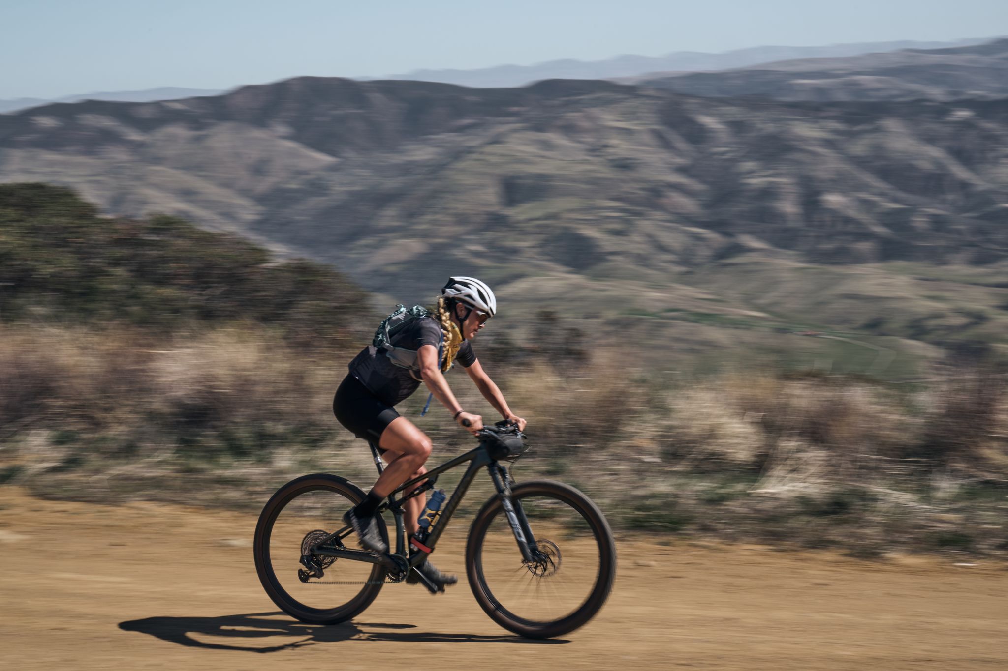
Los Padres Traverse — mountains to sea on the Sierra Madre Road
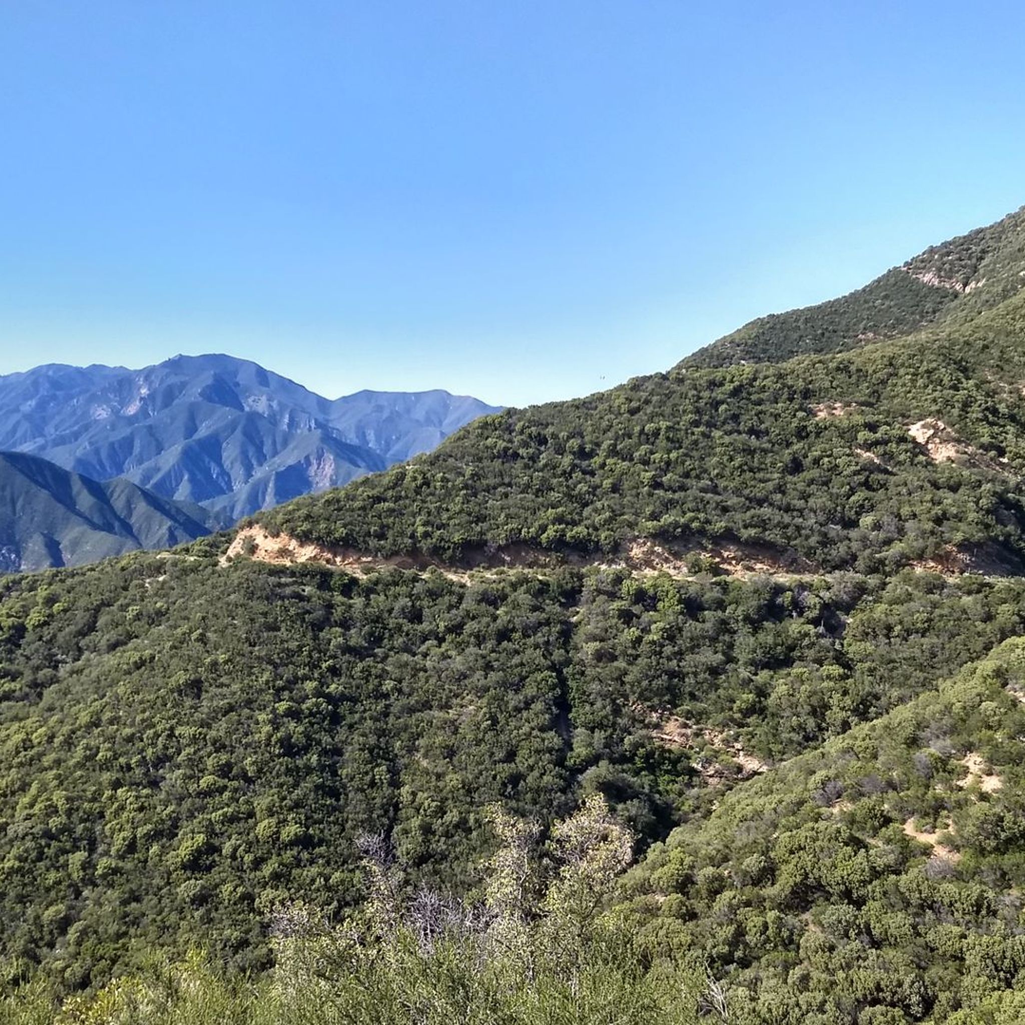
Hiking in Los Padres National Forest
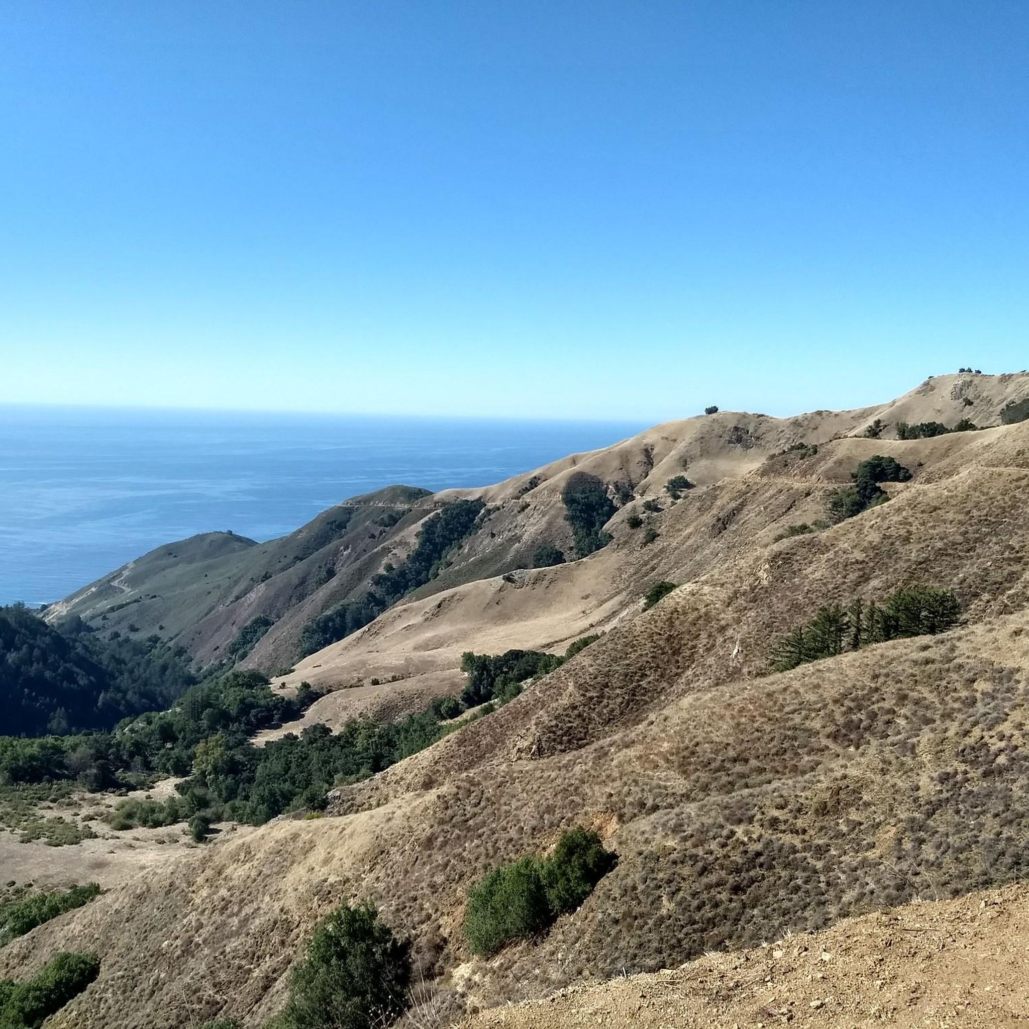
MTB Trails in Los Padres National Forest
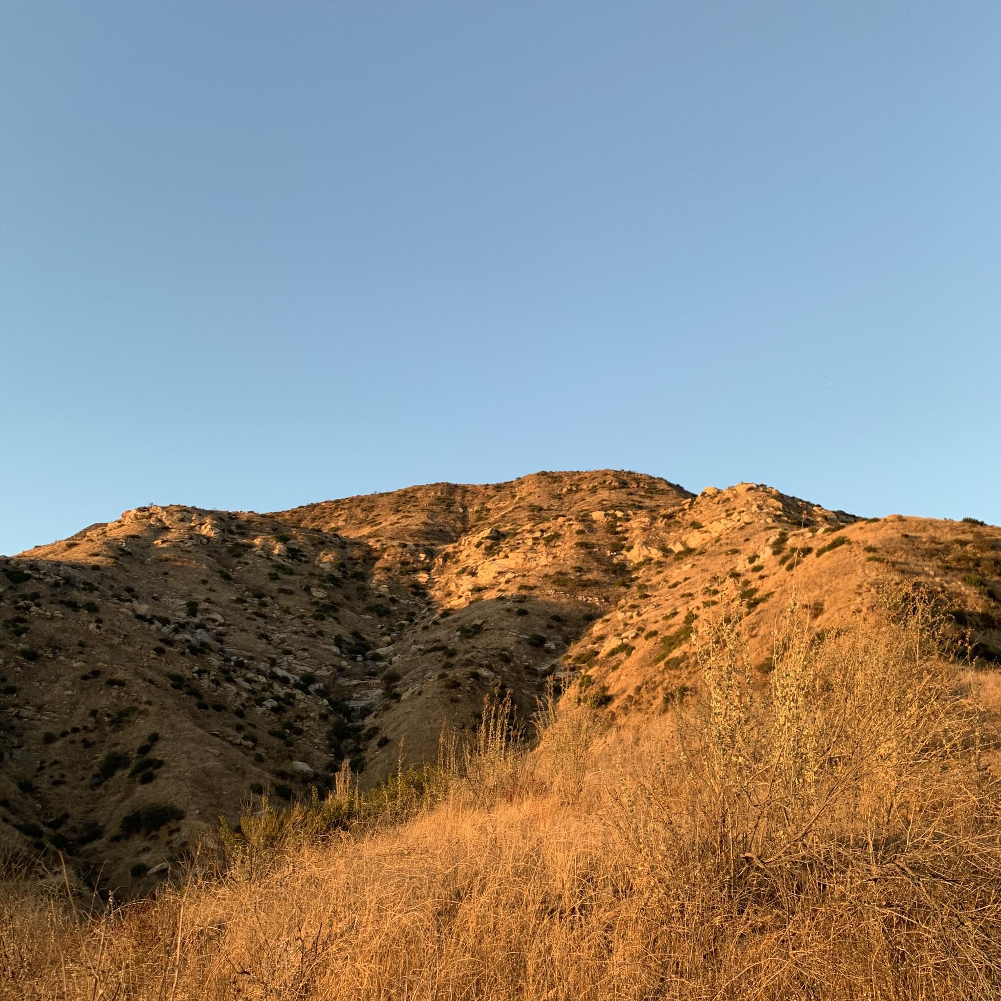
Running Trails in Los Padres National Forest
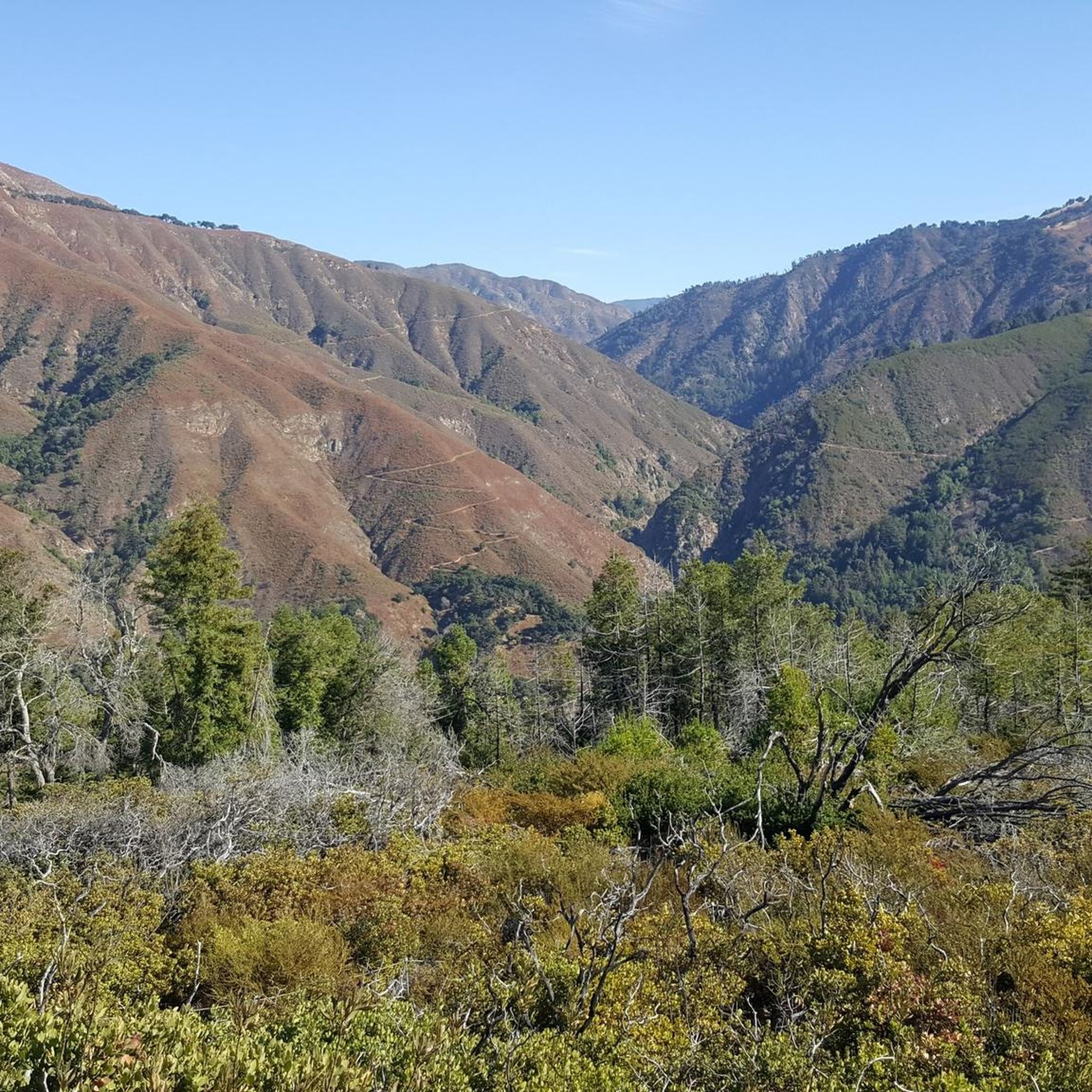
Gravel biking in Los Padres National Forest
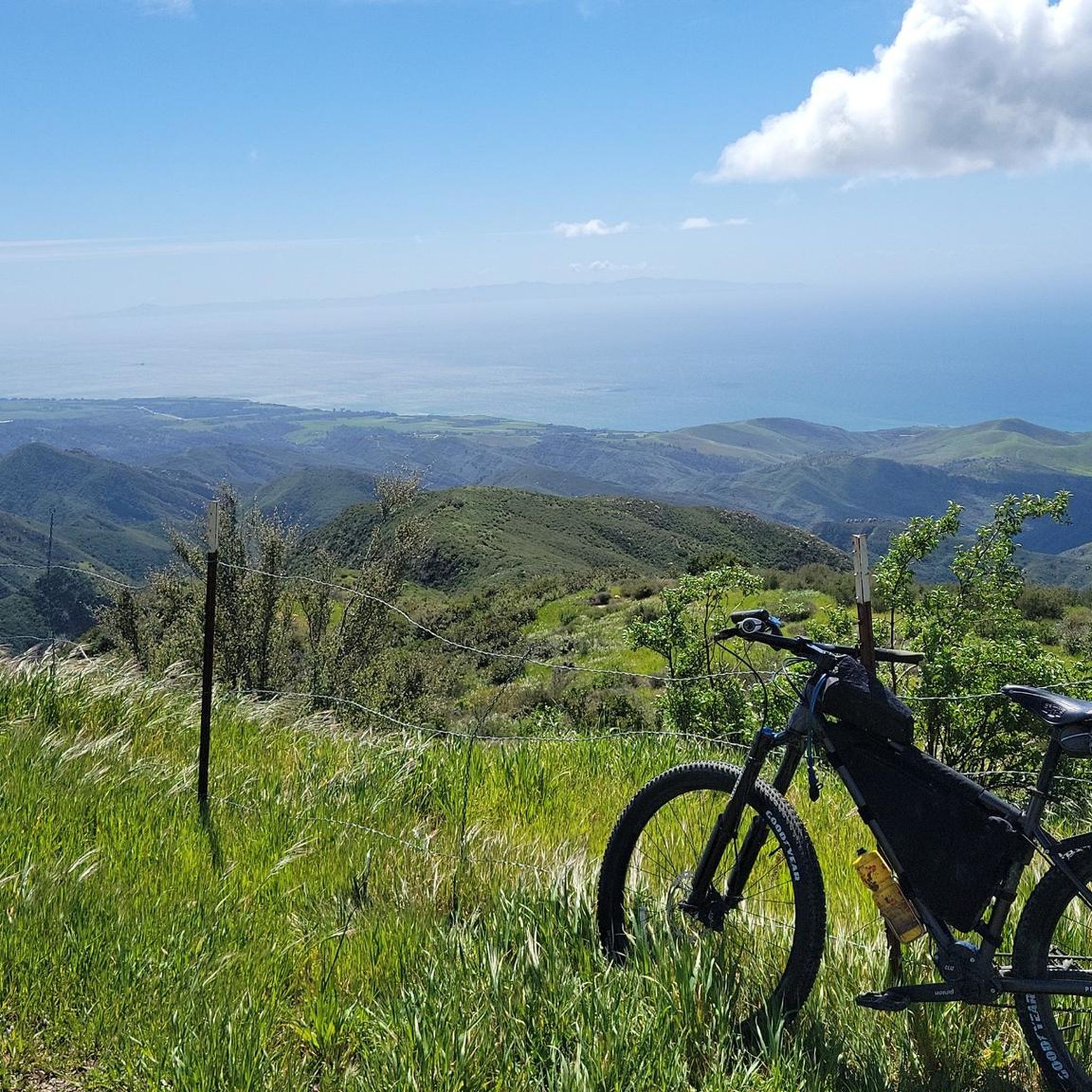
Cycling in Los Padres National Forest
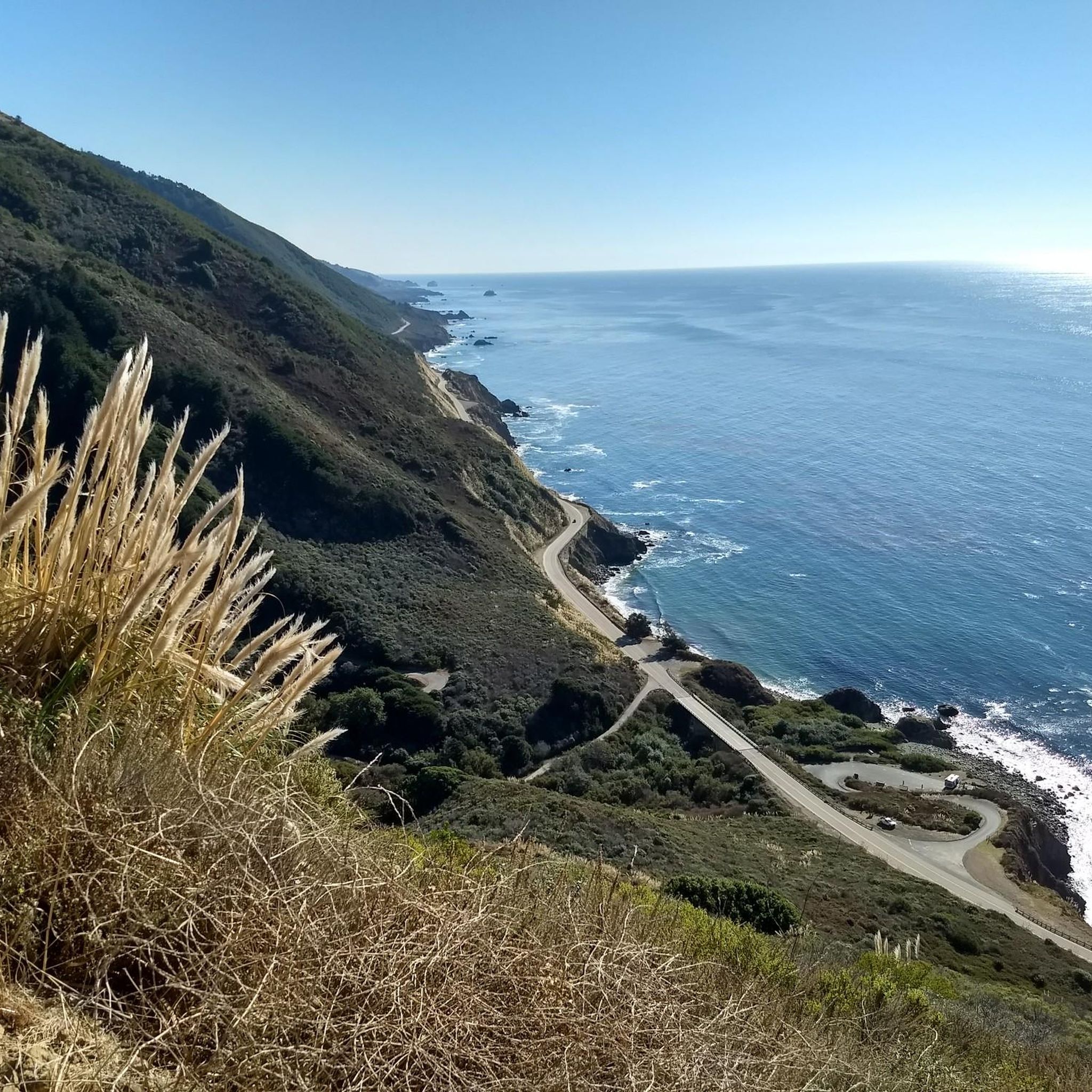
Road Cycling Routes in Los Padres National Forest


Tips from the Community

I rode it in 2021 and it was all washed out with patches of debris washed over the road. Someone told me they had fixed it as of 2025.
0
0

Starting in Maricopa, the climb on Highway 33 takes you on a long, remote, and demanding journey from the arid Cuyama Valley floor high into the rugged Los Padres National Forest. You'll ascend steadily through starkly beautiful, changing landscapes – from desert scrub and oil fields, through chaparral-covered slopes, eventually reaching cooler pine forests near the 5,100ft Pine Mountain Summit – this climb is approximately 19-20 miles, gaining a substantial 4,500ft. Be prepared for a relentless grind; the average is around 4.5% with potential ramps over 10%.
0
0

This climb begins just north of Ojai, California, and takes you through the beautiful landscapes of Ventura County as you ascend along Highway 33. For the first 27 miles, you’ll ride through the San Emigdio Mountains, part of the Pacific Coast Range, before entering the vast Los Padres National Forest, a 1.9 million-acre expanse that offers stunning vistas of rugged terrain and lush forest. After reaching the narrow, remote paved road for the final six miles, you’ll be rewarded with serene, isolated surroundings, though the lack of services on this stretch makes it essential to be fully prepared for the challenging ride ahead.Bring extra water.
0
0

The first 6.7 miles of East Camino Cielo Rd are paved and offer sweeping ridgetop views down to the coast, well worth even if you don't want to continue beyond the pavement section. If you do, the continuation on the dirt and gravel is rocky and sandy in places, but bikeable, and there's a wonderful reward in the several hot spring pools at the end
0
0
Downhill cruising at its best: From the highest point of this road, the narrow but sparsely traveled route with breathtaking ocean views that change from turn to turn, through stands of Coastal redwoods and open wildflowers-meadows. Note: as of 2017 it is the only connection south until the Mud Creek slide is fixed in mid 2018.
0
0
Steep, narrow, winding Mountain road. Since the Aug 2017 landslide blocked Hwy 1 at Mud Creek, all traffic South needs to detour via Nacimiento-Fergusson road until mid 2018
0
0
Initially paved, then unpaved gravel road along a ridge with spectacular views to the Pacific Ocean in the mountains high above the Santa Barbara coast. Buy an Adventure Pass before leaving town, it is required but not available in the mountains
1
0
Frequently Asked Questions
What are some of the most scenic mountain passes in Los Padres National Forest?
For breathtaking views, consider the East Camino Cielo paved section, which offers sweeping ridgetop views down to the Pacific Ocean. Another highly scenic option is the Nacimiento-Fergusson Rd ⛰️ Plaskett Ridge summit down to Hwy 1, known for its ocean views and passage through coastal redwoods and wildflower meadows.
Are there challenging mountain passes for experienced cyclists or hikers?
Yes, several passes offer a significant challenge. The Pine Mountain Ridge Climb, starting north of Ojai, is a demanding ascent through Ventura County and Los Padres National Forest. Similarly, the Hwy 33 - Hudson Ranch Road Climb from Maricopa is a long, remote, and strenuous journey with substantial elevation gain.
What historical or cultural sites can be found near the mountain passes?
Near Highway 154 (San Marcos Pass Area), you can find the Painted Cave, a State Historic Park featuring Chumash Indian paintings. This area was historically an old stagecoach path, adding to its cultural significance.
What kind of natural features and wildlife can I expect to see?
Los Padres National Forest is known for its diverse landscapes. Along routes like the Mount Pinos Climb, you'll traverse serene Jeffrey pine and white fir forests. The Jacinto Reyes Scenic Byway (Highway 33) offers spectacular vistas, unique rock formations, and lush riparian areas, providing habitats for varied plant and animal life. The Condor Observation Site near Mount Pinos is also a notable spot for wildlife viewing.
What are the best times to visit the mountain passes in Los Padres National Forest?
Spring is particularly vibrant, especially around Figueroa Mountain Road, which is known for its spectacular wildflower fields. Generally, spring and fall offer pleasant temperatures for outdoor activities. Summer can be hot, especially at lower elevations, while winter may bring snow to higher passes like Mount Pinos, impacting accessibility.
Are there any family-friendly mountain passes or scenic drives?
Highway 154 (San Marcos Pass Area) is a very accessible and picturesque drive that offers panoramic views of the Pacific coastline and Lake Cachuma, making it suitable for families. The Mount Pinos Climb, while an ascent, offers a pass-like experience with exceptional vistas and is considered an excellent day hike suitable for various skill levels, including families.
What outdoor activities are available near these mountain passes?
The region offers a wide range of activities. You can find numerous running trails, such as the challenging Romero Canyon Trail Loop. For cyclists, there are gravel biking opportunities like the Romero Canyon Loop, and mountain biking trails including the Gridley Trail.
Where can I find panoramic viewpoints along the mountain passes?
Many passes offer stunning vistas. East Camino Cielo paved section provides sweeping ridgetop views of the Pacific Ocean. The Mount Pinos Climb culminates in panoramic views of Santa Barbara, the San Andreas Fault, and the Caliente Range. La Cumbre Peak, accessible via the Tunnel Trail, also offers unparalleled views of the surrounding mountains, city, and ocean.
What are the road conditions like on mountain passes in Los Padres National Forest?
Conditions vary significantly. Some routes, like the initial section of East Camino Cielo and Highway 154, are paved and well-maintained. Others, such as Figueroa Mountain Road, are mostly dirt. Mountain roads like Nacimiento-Fergusson Road can be steep, narrow, and winding. Always check current conditions before traveling, especially after heavy rains or during winter.
Are there any specific permits required for accessing certain areas or trails?
For some areas, such as parts of the East Camino Cielo, an Adventure Pass may be required. It's advisable to check with the Los Padres National Forest service or local ranger stations for the most up-to-date information on permits for specific trails or wilderness areas you plan to visit.
What makes the Jacinto Reyes Scenic Byway (Highway 33) unique?
The Jacinto Reyes Scenic Byway offers a diverse and picturesque journey through Ventura County, showcasing spectacular vistas, unique geology, and rich plant and animal life. It also provides access to four Congressionally designated wilderness areas, making it a captivating drive for both casual visitors and those interested in scientific exploration.
Most popular routes in Los Padres National Forest
Most popular attractions in Los Padres National Forest

Get inspired with the komoot mobile app


