The best MTB trails in Los Padres National Forest
4.8
(29)
136
riders
20
rides
Mountain biking in Los Padres National Forest offers diverse terrain across 1.75 million acres of rugged mountains, valleys, and coastal areas. The landscape is characterized by varied ecosystems, including pine forests, oak woodlands, and rocky sections. Trails often provide sweeping vistas of the Pacific Ocean and dramatic mountain ranges. This extensive trail system caters to a wide array of experiences for different skill levels.
Best mountain bike trails in Los Padres National Forest
- The most popular mountain bike trail is…
Last updated: October 10, 2026
5.0
(2)
15
riders
16.1km
02:09
750m
750m
The Romero Canyon Loop Trail offers a diverse and challenging mountain biking experience in Santa Barbara, taking you from tranquil creek-side forests to open vistas. You'll navigate lush vegetation and…
5.0
(1)
13
riders
18.7km
02:26
840m
840m
Moderate mountain bike ride. Good fitness required. Suitable for all skill levels.

9
riders
33.6km
03:27
1,090m
1,090m
If you're looking for a challenging mountain biking adventure, the Mount Pinos and McGill Trail Loop delivers. This difficult route spans 20.9 miles (33.6 km) and climbs 3575 feet (1090…
7
riders
23.4km
03:10
1,150m
1,150m
Experience the challenging Gridley-Pratt Trail Loop, a 14.6-mile mountain biking route with 3763 feet of gain and panoramic views.
61.6km
07:53
1,790m
1,790m
Tackle the difficult Arroyo Seco - Indians Road mountain biking trail, a 38.3-mile route through the Ventana Wilderness with stunning views.
Get access to more routes and recommendations from other explorers.
Already have an account?
Our route recommendations are based on thousands of hikes, rides, and runs completed by other people on komoot.
Start today with a free account
Your next adventure awaits.
Popular around Los Padres National Forest
Los Padres Traverse — mountains to sea on the Sierra Madre Road

California Coastal Trail — Following the coastline from Mexico to Oregon
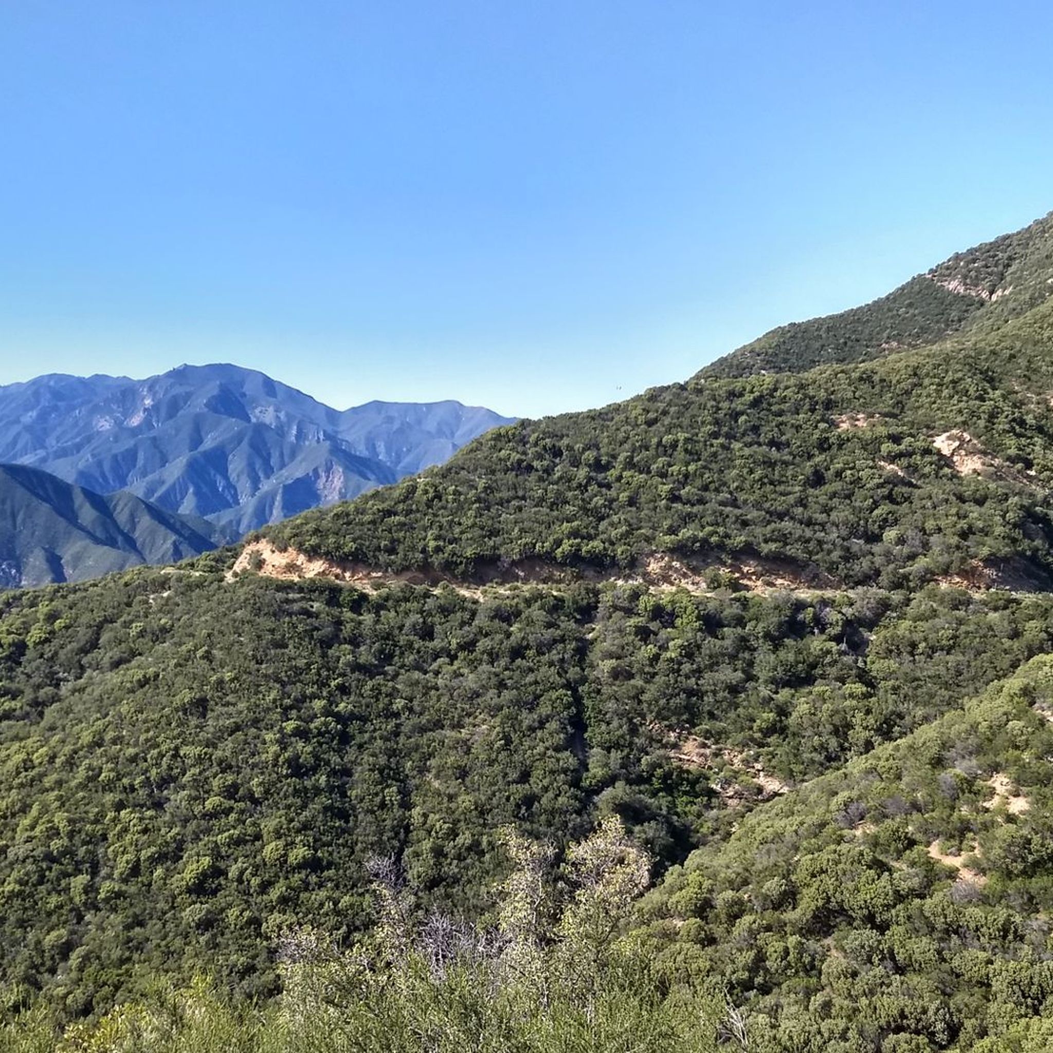
Hiking in Los Padres National Forest
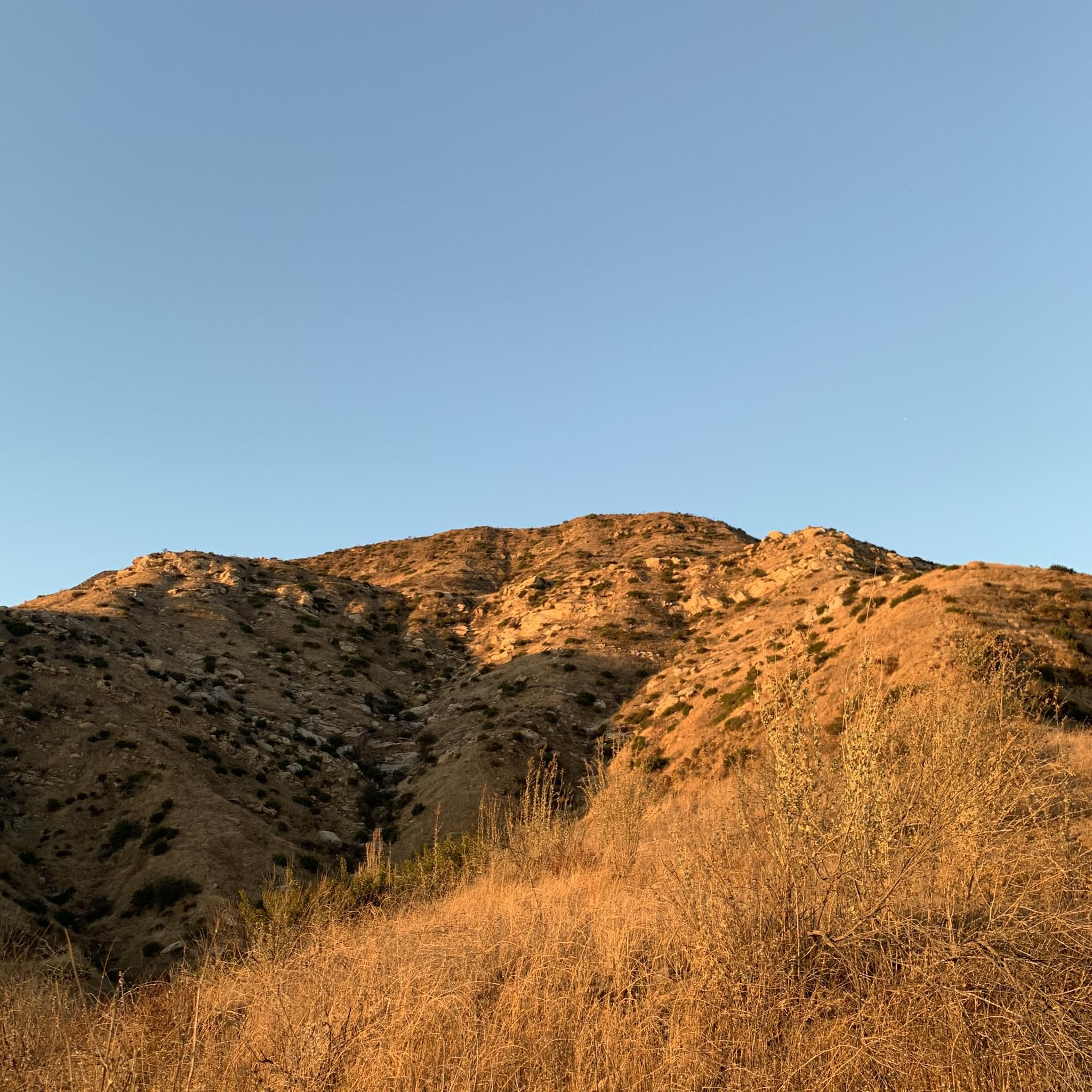
Running Trails in Los Padres National Forest
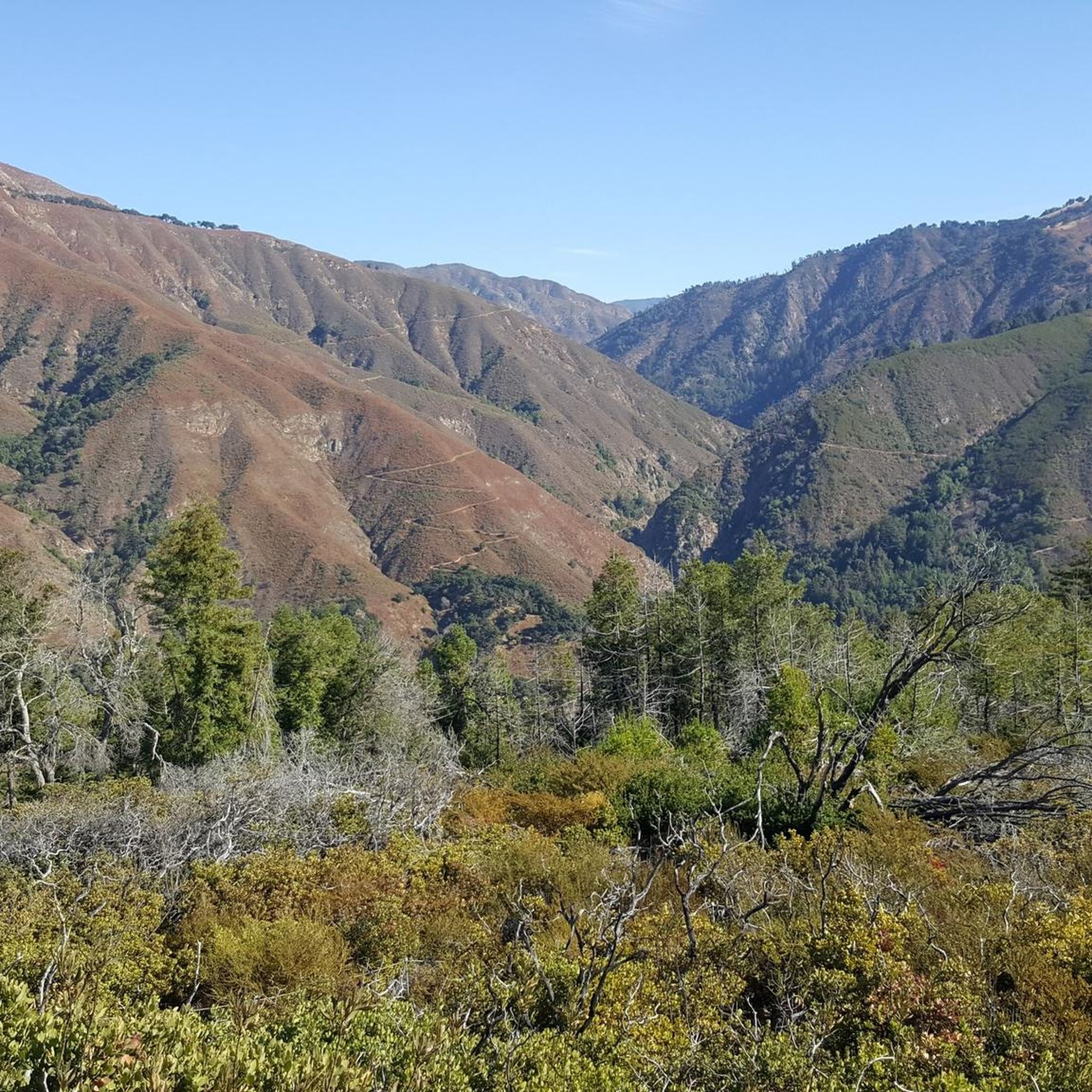
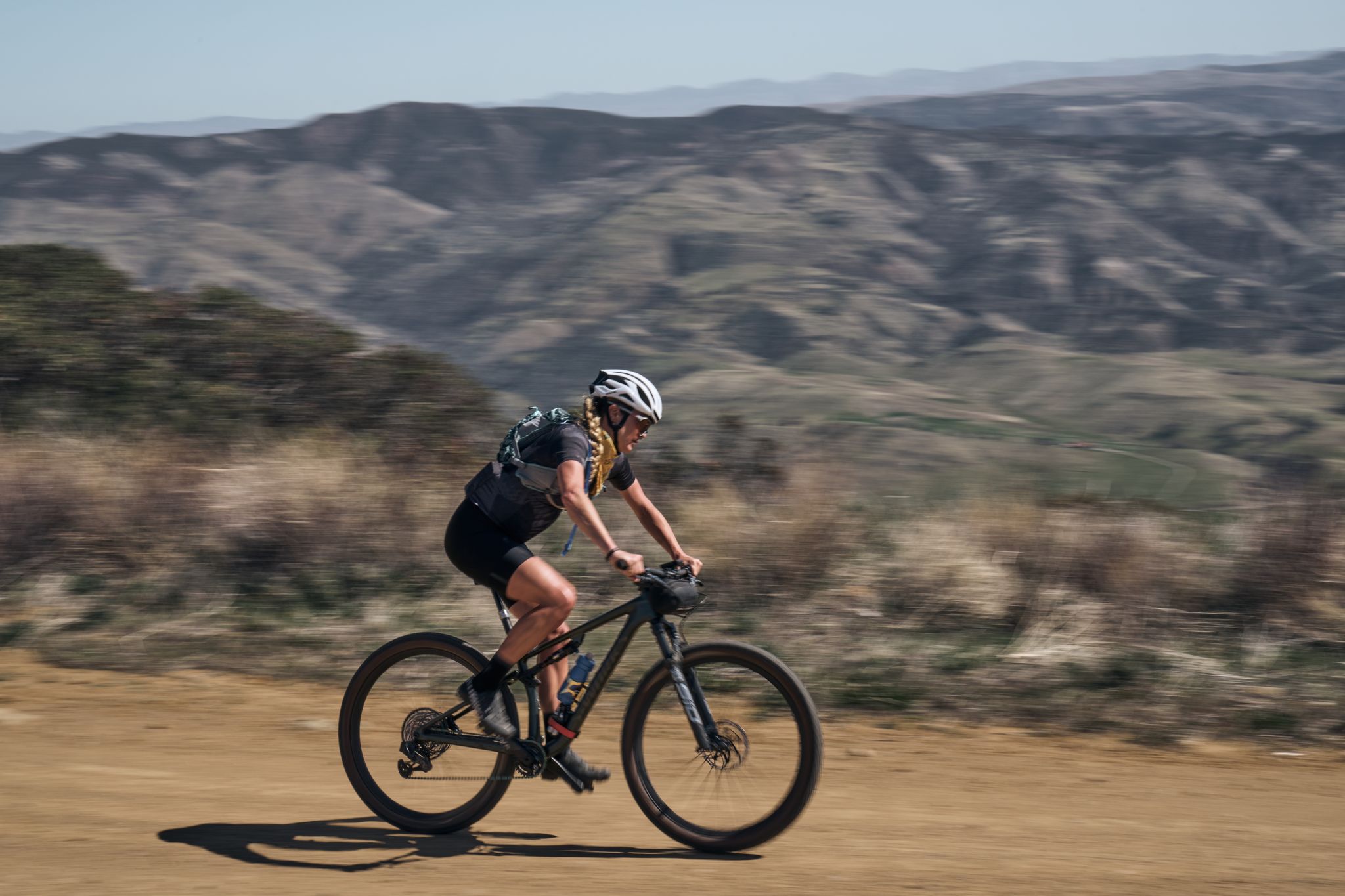
Gravel biking in Los Padres National Forest
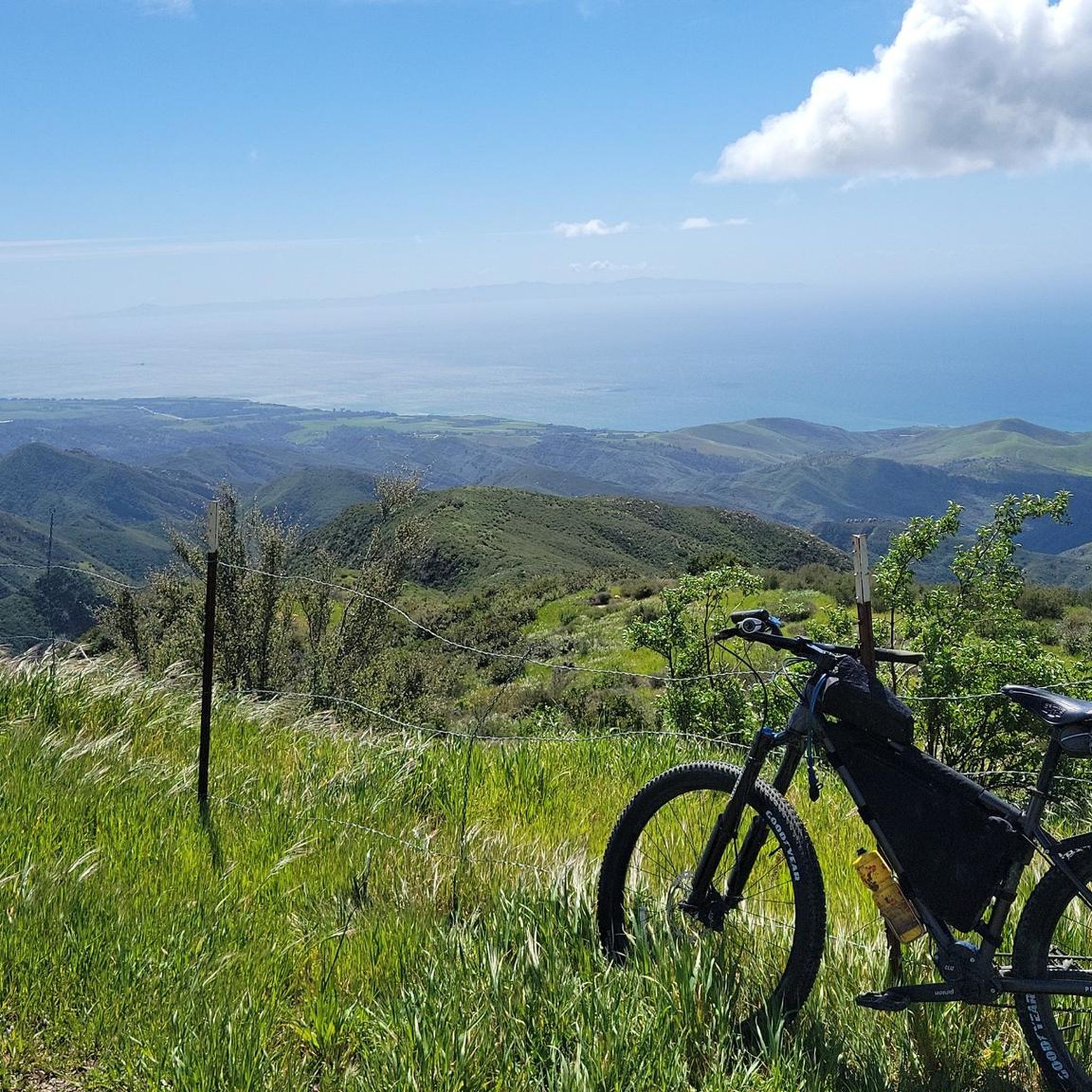
Cycling in Los Padres National Forest
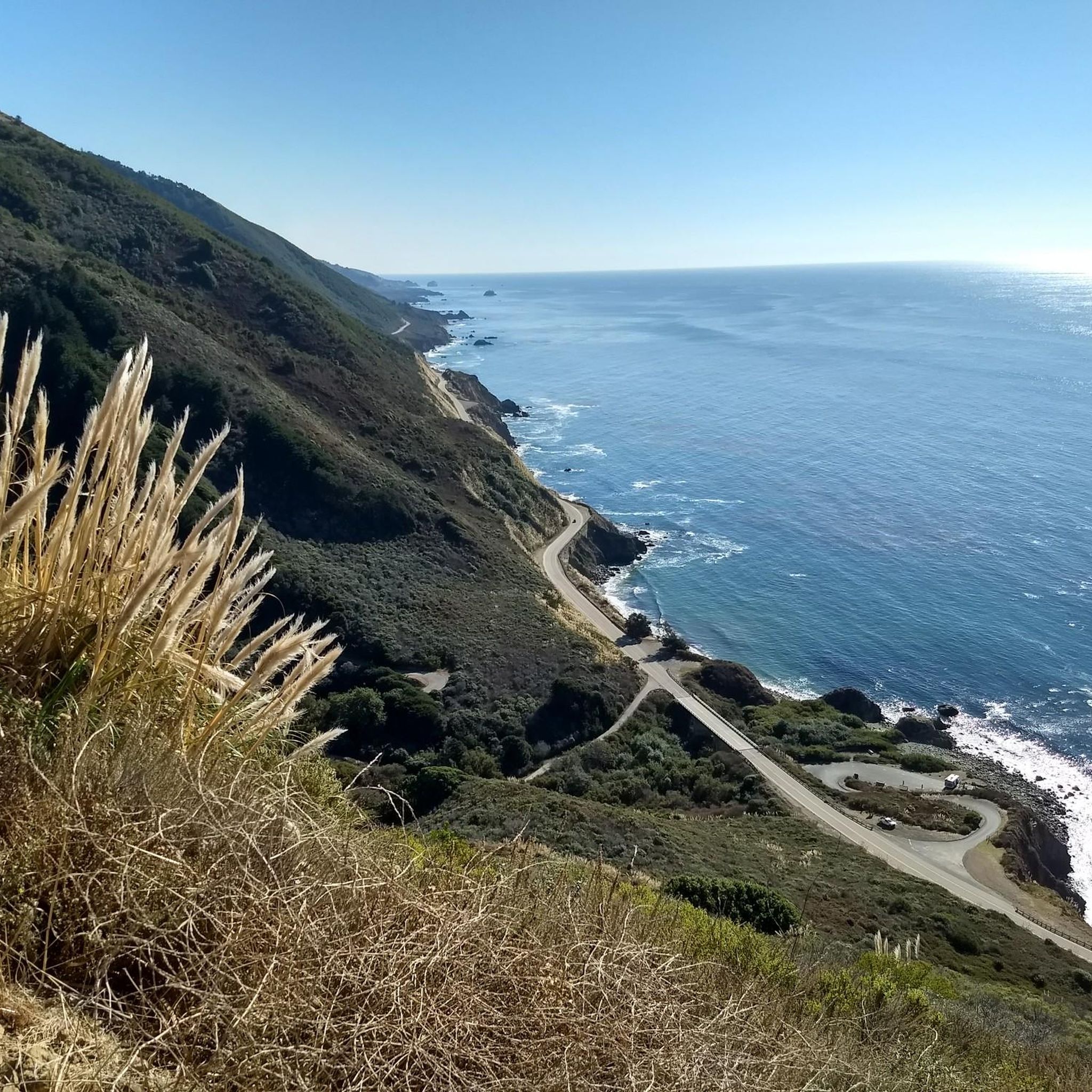
Road Cycling Routes in Los Padres National Forest


Tips from the Community

This is the end of Milpitas Road, northwest of here past the campground the road is closed for bike and foot traffic along the Arroyo Seco - Indians Road route. If you are planning on biking to Arroyo Seco this is a decent place to start your adventure from the south side. There is a hiking trailhead here that mirrors a similar route to Santa Lucia.
0
0

Fuel Break Road is a picturesque double track that winds through a beautiful landscape. As you ride, you'll be treated to stunning views of the lush valley below, framed by rolling hills that stretch across the horizon. The route is dotted with several small streams, inviting you to take in the soothing sounds as you cross over them.
0
0
This popular multi-use trail for hikers, runners, and cyclists is maintained by SAGE Trail Alliance, a nonprofit funded by donations. The route starts as a fire road, then quickly shifts to a single track due to overgrowth, with a smooth climb and fantastic views. The trail is excellent for beginners, although intermediate and advanced riders may prefer using the single track for a fast descent; however, the trail is heavily trafficked, so please refrain from racing down the fire road. Riders must use a bell, which is available for free at bell boxes in the parking area.
1
0
This trail is a rocky and technically challenging singletrack that winds along and crosses Romero Creek. You can tackle it as a short loop by climbing the Romero Fire Road, or you can choose a longer adventure that includes the Upper Romero singletrack. The path is both fast and flowing, but watch out for the technical rock gardens that pop up along the way. A beautiful grove of gnarled oak trees lines this section, so be prepared to make quick decisions about your route!
0
0

This is the highest point in this area. The views are breathtaking, and you will find the famous Samwill Cairn, the perfect picture spot.
0
0
The way to Mount Pinos can be challenging for some, but the views are rewarding. I would also recommend pushing the effort 2 miles further to reach Samwill Mountain's summit.
0
0
This is the highest point in this area. The views are breathtaking and you will find the famous Samwill Cairn, the perfect picture spot.
0
0

Nordhoff Peak is a 4,426 ft peak with a fire lookout tower at the top. From here you have a panoramic view of the valley and other mountains around such as Pollard Peak and Chief Peak.
0
0
Frequently Asked Questions
How many mountain bike trails are available in Los Padres National Forest?
Los Padres National Forest offers a wide selection of mountain biking opportunities, with over 20 distinct routes available on komoot. These trails cater to various skill levels, from moderate to difficult, ensuring there's something for every rider.
What kind of terrain can I expect on mountain bike trails in Los Padres National Forest?
You can expect a diverse range of terrain, from rugged mountains and valleys to coastal areas. Trails often feature pine forests, oak woodlands, and rocky sections, with many offering sweeping vistas of the Pacific Ocean and dramatic mountain ranges. The forest's varied ecosystems provide a dynamic and engaging riding experience.
What options are there for experienced mountain bikers seeking a challenge?
For experienced riders, Los Padres National Forest offers several challenging routes. The Mount Pinos and McGill Trail Loop is a difficult 33.6 km trail leading through high-elevation pine forests. Another demanding option is the Gridley-Pratt Trail Loop, a 23.4 km route with significant elevation changes and panoramic views. Additionally, the Matilija Creek Trail is known for its advanced, technical sections with sharp turns and steep descents.
Are there any mountain bike trails with waterfalls in Los Padres National Forest?
Yes, you can find trails featuring waterfalls, especially during springtime. Rose Valley Road is a beginner-friendly option known for its waterfalls. For a more dramatic sight, Tangerine Falls is a notable natural monument within the forest, accessible via hiking trails that can be combined with biking in certain areas.
Can I find loop trails for mountain biking in Los Padres National Forest?
Absolutely. Many trails in Los Padres National Forest are designed as loops, offering varied scenery without retracing your path. Popular loop options include the Romero Canyon Loop Trail near Santa Barbara, which provides stunning ocean views, and the challenging Mount Pinos and McGill Trail Loop through high-elevation pine forests.
What natural features or landmarks can I see while mountain biking?
Los Padres National Forest is rich in natural beauty. You might encounter rugged mountain ranges, diverse ecosystems including pine and oak forests, and sweeping views of the Pacific Ocean. Notable natural monuments include Redwood Grove and various hot springs like Big Caliente Hot Springs. The forest also contains 10 federally-designated Wilderness areas, offering pristine natural environments.
Are there any hot springs accessible near mountain bike trails?
Yes, Los Padres National Forest is home to several hot springs. Lesser-known gems like Big Caliente Hot Springs and Little Caliente Hot Springs in the Pendola Recreation Area offer a unique opportunity for relaxation. Hot Springs Canyon, near Santa Barbara, also provides trail access to these natural springs, perfect for unwinding after a ride.
Is parking available at the trailheads in Los Padres National Forest?
Parking is generally available at designated trailheads and recreation areas throughout Los Padres National Forest. However, specific parking availability can vary by trailhead. It's advisable to check individual route descriptions or local forest service information for details on parking at your chosen starting point.
Are permits required for mountain biking in Los Padres National Forest?
Mountain biking is permitted on designated forest roads and trails within Los Padres National Forest. However, it is strictly prohibited in federally-designated wilderness areas. While general permits for biking are not typically required, Adventure Passes may be needed for parking at certain developed recreation sites. Always check the latest regulations with the U.S. Forest Service before your visit.
Can I bring my dog on mountain bike trails in Los Padres National Forest?
Dogs are generally allowed on most trails and in developed recreation areas within Los Padres National Forest, provided they are on a leash. However, specific restrictions may apply in certain areas, especially wilderness areas or sensitive wildlife habitats. Always check local signage and regulations for the specific trail you plan to ride to ensure it's dog-friendly.
What do other mountain bikers enjoy most about the trails in Los Padres National Forest?
The mountain bike trails in Los Padres National Forest are highly rated by the komoot community, with an average score of 4.8 stars from more than 20 reviews. Riders often praise the diverse terrain, the stunning ocean and mountain views, and the variety of trails that cater to different skill levels. The opportunity to explore rugged landscapes and experience the forest's natural beauty is a frequently highlighted aspect.
Are there family-friendly mountain biking options in Los Padres National Forest?
While many trails in Los Padres National Forest involve significant elevation gain and can be challenging, there are options suitable for families or those seeking a less strenuous ride. Rose Valley Road, for instance, is considered a beginner-friendly trail. When planning a family outing, look for routes described as 'easy' or 'moderate' and consider shorter distances to ensure an enjoyable experience for everyone.
Most popular routes in Los Padres National Forest
Most popular attractions in Los Padres National Forest

Get inspired with the komoot mobile app


Explore more
Browse the best MTB trails in other regions.
