Area F (McConnell Creek/Hatzic Prairie)
Area F (McConnell Creek/Hatzic Prairie)
Top 7 Natural Monuments around Area F (McConnell Creek/Hatzic Prairie)
Natural monuments around Area F (McConnell Creek/Hatzic Prairie) British Columbia offer a diverse landscape characterized by forests, mountains, and waterways. This region provides opportunities to explore significant geological features and serene natural settings. The area encompasses the quietly rural McConnell Creek and the Hatzic Valley perimeter, known for its natural hydrological systems. These natural landmarks and viewpoints contribute to the rich natural heritage of the Fraser Valley.
Best natural monuments around Area F (McConnell Creek/Hatzic Prairie)
- The most popular natural…
Last updated: July 8, 2026
Garibaldi Lake
Highlight • Lake
Translated by Google •
Tip by

Lower Falls, Golden Ears Provincial Park
Highlight • Waterfall
Tip by

Sign up now to discover places like this
Get recommendations on the best single tracks, peaks, & plenty of other exciting outdoor places.
Sign up for free
Panoramic View of Garibaldi Lake and Battleship Islands
Highlight • Viewpoint
Translated by Google •
Tip by
Elfin Lakes
Highlight • Lake
Tip by

View of Black Tusk
Highlight • Viewpoint
Tip by
Sign up for free to discover even more natural monuments around Area F (McConnell Creek/Hatzic Prairie).
Sign up for free
Already have an account?
Start today with a free account
Your next adventure awaits.
Login or Signup
Popular around Area F (McConnell Creek/Hatzic Prairie)
Tips from the Community

The direct route from the parking lot to Garibaldi Lake is easily doable even in early May, as the snow on the trails is already packed. Before that, we hiked up to Panaroma Ridge, which is almost impossible without snowshoes or something similar at this time of year (1.80 meters of snow), but at least you're completely alone there.
0
0

Going for a swim in the water is really recommended and nice after the strenuous climb
2
0

The 'Battleship Islands' in 'Garibaldi Lake' are close to the shore in front of the campsite. They have borne the name since 1927 because they are a group of tiny islands, often with just a single tree that looks like a boat mast. https://hikeinwhistler.com/index.php/hiking-glossary/492-battleship-islands
2
0
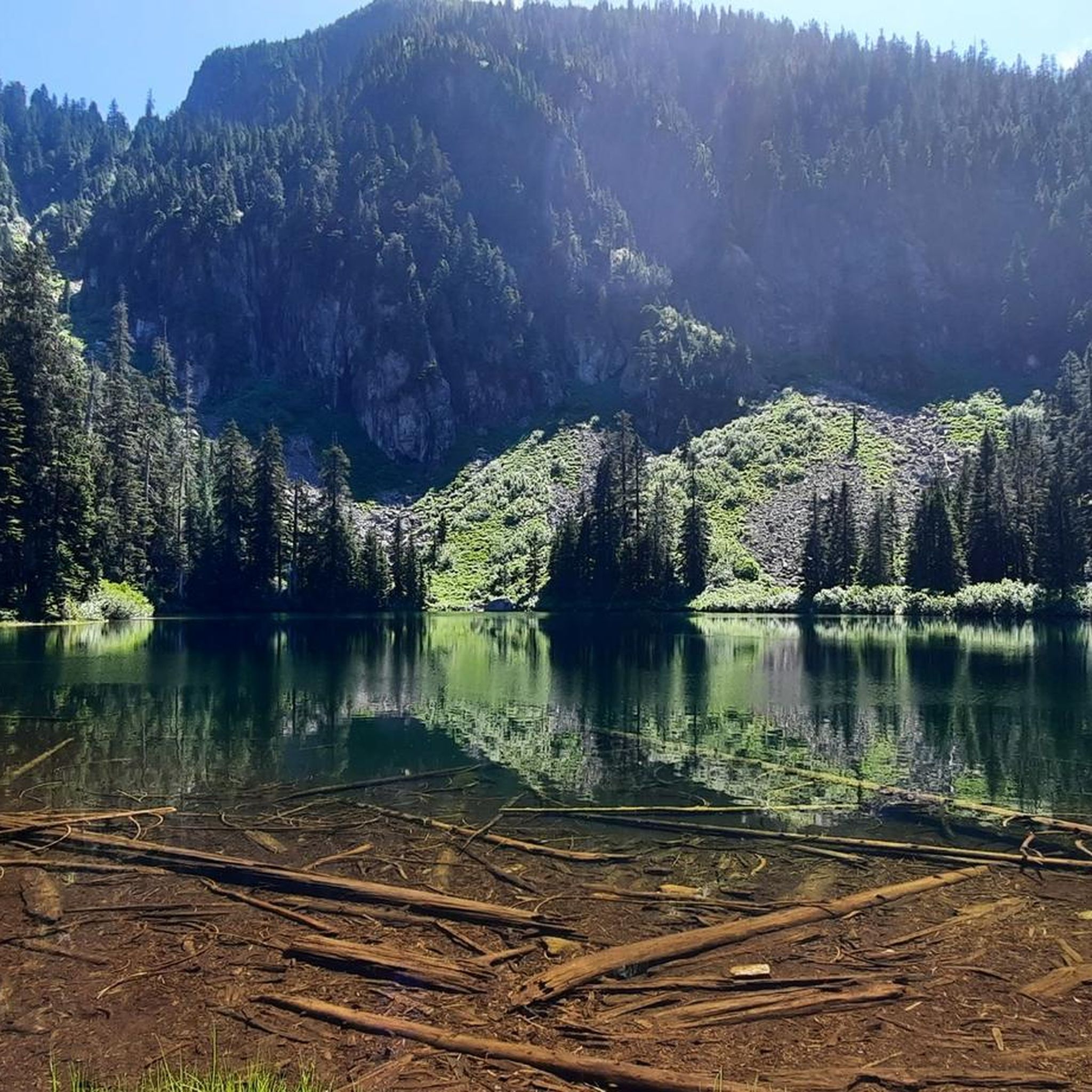
'Garibaldi Lake' is part of the Garibaldi Lake system, formed by lava flows during the last Ice Age. The lake is at an altitude of around 1,400 m and has an area of almost 10 km2. Outflow from 'Garibaldi Lake' occurs only by seepage into cracks in the lava dam ('The Barrier'), with 'Rubble Creek' rising from springs at the base of 'The Barrier'. During spring snowmelt, runoff occurs in a surface water body. The drainage occurs through the 'Lesser Garibaldi Lake' and the 'Barrier Lake' over a length of approx. 1.6 km. https://besthikesbc.ca/hiking-garibaldi-lake-in-whistler/
4
0

Sturdy shoes and sure-footedness absolutely necessary
0
0

We walked to Elfin Lakes from the car park via Red Heather Shelter. The trails were wide and quite easy underfoot as they gradually ascended and then undulated . Approaching the campground, swimming is permitted in the uppermost (largest) lake only.
0
0
Quite possibly one of the best views my eyeballs have ever seen! The photos are amazing but even they can't live up to the majesty that you see with your own eyes. Get this view of Black Tusk on the ascent of Panorama Ridge from Rubble Creek.
3
0

Frequently Asked Questions
What are some of the most impressive natural monuments to visit in Area F (McConnell Creek/Hatzic Prairie)?
Area F offers a range of natural spectacles. Cascade Falls, located at the northern end of McConnell Creek, features a stunning 167-foot drop. For serene natural settings, Allan Lake and Davies Lake in the McConnell Creek area provide peaceful environments for nature observation. Additionally, Mount St. Benedict stands as the highest point in McConnell Creek and the Hatzic Valley perimeter, offering significant views.
Are there any natural monuments suitable for families in Area F (McConnell Creek/Hatzic Prairie)?
Yes, Lower Falls, Golden Ears Provincial Park is a family-friendly natural monument. It's an easily accessible spot, making it suitable for visitors of all ages. The walk to the falls is often described as worthwhile.
What kind of geological features can be found in the Hatzic Valley?
The Hatzic Valley is notable for its crucial hydrological systems, including three primary underground water sources: the Hatzic Prairie Aquifer (southernmost and shallowest), the Cascade Aquifer (northernmost), and the McConnell Aquifer. These aquifers are vital for the region's water supply and represent interesting geological formations, with the McConnell Aquifer having low vulnerability due to protective soil layers.
What outdoor activities can I do near the natural monuments in Area F (McConnell Creek/Hatzic Prairie)?
You can find various outdoor activities nearby. For hiking, consider routes like the 'Hunter Logging Road' or the 'Lakeside Trail & Rolley Falls Trail loop' in Rolley Lake Provincial Park. If you're interested in running, there are options like the 'Gold Creek – Gold Creek Lookout loop'. Road cycling enthusiasts can explore routes such as the 'Roadbike loop from Sandy Hill Road'. You can find more details on these activities in the Hiking, Running, and Road Cycling guides for Area F.
Can I go swimming in any of the lakes near Area F (McConnell Creek/Hatzic Prairie)?
Yes, swimming is permitted in the largest of the uppermost lakes at Elfin Lakes, offering a refreshing experience in an alpine setting. Additionally, swimming in the waters of Garibaldi Lake is highly recommended after the climb to reach it.
What do visitors enjoy most about the natural monuments in Area F (McConnell Creek/Hatzic Prairie)?
Visitors particularly appreciate the stunning natural beauty and unique geological formations. Highlights like Garibaldi Lake are praised for their turquoise waters and volcanic landscapes, while the Panoramic View of Garibaldi Lake and Battleship Islands offers a distinctive perspective. The accessibility and scenic rewards of places like Lower Falls are also frequently mentioned.
Are there any notable viewpoints in the Area F region?
Yes, the Panoramic View of Garibaldi Lake and Battleship Islands is a highly regarded viewpoint. It offers a unique perspective of the 'Battleship Islands,' which are tiny islands, often featuring a single tree, that have been a notable feature since 1927. Another impressive viewpoint is the View of Black Tusk, which offers breathtaking scenery, especially on the ascent of Panorama Ridge.
What is the best time to visit the natural monuments around Area F (McConnell Creek/Hatzic Prairie)?
While specific seasonal recommendations vary by monument, generally, the warmer months from late spring to early autumn offer the most accessible and pleasant conditions for exploring lakes, waterfalls, and viewpoints. During spring snowmelt, runoff occurs in surface water bodies, which can enhance waterfall views. Always check local conditions before planning your visit, especially for higher elevation areas.
Are there any historical aspects associated with the natural monuments in this region?
The region has historical significance, particularly around McConnell Creek. For instance, Cascade Creek, where Cascade Falls is located, was historically known as McConnell Creek. The Hatzic Valley itself has a rich history. You can find more information about the historical context of the area at heritage-places.com and wikipedia.org.
What are the characteristics of the trails leading to Elfin Lakes?
The trails leading to Elfin Lakes are described as wide and relatively easy underfoot. They feature gradual ascents and then undulations, making them accessible for many hikers. Swimming is permitted in the largest of the uppermost lakes once you reach the campground area.
Is it possible to see unique island formations in any of the lakes?
Yes, Garibaldi Lake is home to the distinctive 'Battleship Islands.' These are tiny islands, often featuring a single tree, that have been a notable and unique feature of the lake since 1927. They can be viewed from the shore near the campsite or from the Panoramic View of Garibaldi Lake and Battleship Islands.
Most popular routes around Area F (McConnell Creek/Hatzic Prairie)
Most popular attractions around Area F (McConnell Creek/Hatzic Prairie)

Get inspired with the komoot mobile app


Explore more
Extend your search for the best caves by checking out these guides of the top ones around Area F (McConnell Creek/Hatzic Prairie):
