The best cycling routes around Area F (McConnell Creek/Hatzic Prairie)
4.5
(2)
31
riders
5
rides
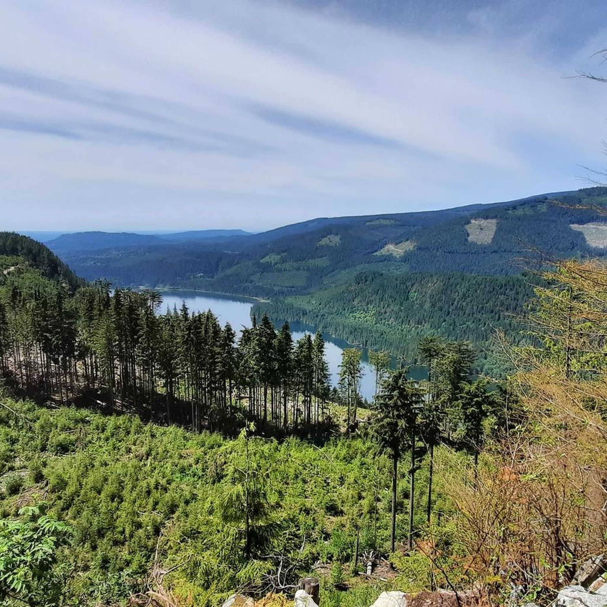
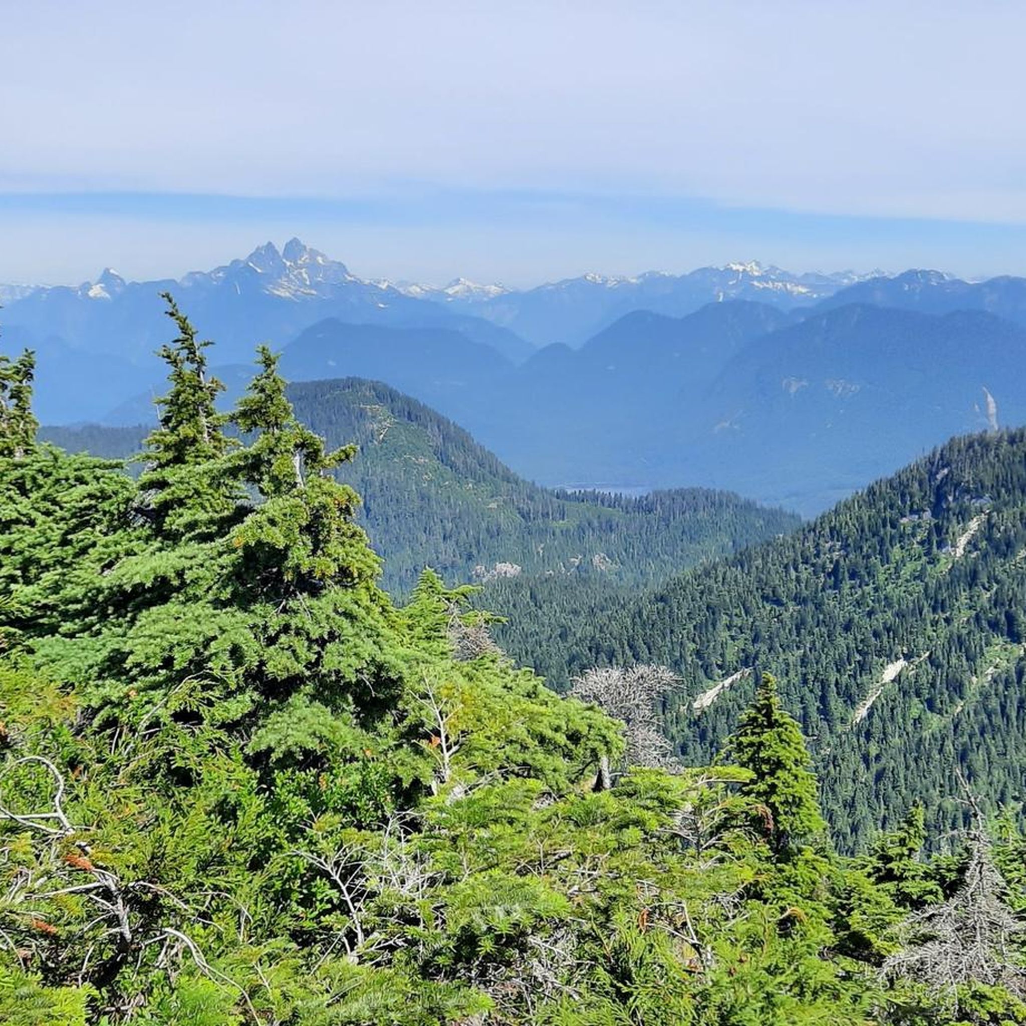
Touring cycling routes around Area F (McConnell Creek/Hatzic Prairie) traverse a landscape characterized by rugged mountains, dense forests, and fertile agricultural prairies within British Columbia's Fraser Valley. The Hatzic Valley, a narrow horseshoe valley, features varied terrain shaped by glacial action. Prominent natural features include Hatzic Lake, Stave Lake, and the backdrop of Mount St. Benedict. This region offers diverse routes for touring cyclists.
Best touring cycling routes around Area F (McConnell Creek/Hatzic Prairie)
- The most popular touring cycling route…
Last updated: October 14, 2026
4.0
(1)
4
riders
41.1km
02:35
170m
170m
Moderate bike ride. Good fitness required. Mostly paved surfaces. Suitable for all skill levels.
5.0
(1)
11
riders
25.2km
01:46
70m
70m
Easy bike ride. Great for any fitness level. Mostly paved surfaces. Suitable for all skill levels.

7
riders
Easy bike ride. Great for any fitness level. Mostly paved surfaces. Suitable for all skill levels.
7
riders
Easy bike ride. Great for any fitness level. Mostly paved surfaces. Suitable for all skill levels.
2
riders
Hard bike ride. Very good fitness required. Mostly paved surfaces. Suitable for all skill levels.
Our route recommendations are based on thousands of hikes, rides, and runs completed by other people on komoot.
Start today with a free account
Your next adventure awaits.
Popular around Area F (McConnell Creek/Hatzic Prairie)
Tips from the Community

The south entrance to Fraser River Heritage Park is marked with a beautiful wooden hand-carved entrance gate. There are lots of facilities just past the gate, like public restrooms with trash cans, shaded picnic benches and historical displays. Also, just steps away from the entry gate is the Sunflower Lodge, with sustainable, organic farm-to-table dining.
0
0

East Mission Heritage Greenway is an easy, flat, paved multi-use route that connects Fraser River Heritage Park with the surrounding neighbourhoods. It follows a mix of paved pathways and quiet streets, making it a lovely path to walk or ride through beautiful green spaces, with occasional views across the Fraser Valley. It’s also a convenient way to explore the eastern side of Mission, as it links to several other routes in the park’s wider trail network.
0
0
Fraser River Heritage Park is the largest park in Mission, situated on a hillside overlooking the Fraser River Valley, and is a fantastic spot with some of the best views in the region. There are walking trails that wind through open lawns, mature trees, heritage gardens, and historic sites, including the restored Grotto of Our Lady of Lourdes and the foundations of the former St. Mary’s Mission buildings. It’s a peaceful place to enjoy beautiful panoramic views while reflecting on the area's rich and complex history.
0
0

Matsqui Trail Head is a beautiful park with picnic tables, lots of trees for shade and plenty of parking. This is a great place to start and end your ride. The 8 km trail along the riverbank leads to quiet farm roads on which you can circle back to where you started. It’s a really nice ride.
0
0

Running along the banks of the Fraser River, the Matsqui Trail is a relatively flat multi-use path. It offers users scenic views of the river and the majestic surrounding mountains.
0
0
The Mission Bridge connects the City of Mission and the City of Abbotsford by crossing the Fraser River. It features a pedestrian path on both sides for easy commuting.
0
0

A site you can both enjoy seeing and smelling!
0
0
There is free parking available here for this ride along Matsqui Dike
0
0
Frequently Asked Questions
How many touring cycling routes are available in Area F (McConnell Creek/Hatzic Prairie)?
There are 6 touring cycling routes available in Area F (McConnell Creek/Hatzic Prairie). These routes offer a variety of experiences, from easy loops to more challenging rides with significant elevation gain.
What is the best time of year for touring cycling in Area F?
The region, known for its diverse landscapes including mountains, forests, and prairies, is generally suitable for cycling during warmer months. The combination of agricultural lands, forested areas, and views of mountains and lakes provides a continuously changing and enjoyable panorama, making spring through fall ideal for touring.
What kind of terrain can I expect on the touring cycling routes in Area F?
The terrain in Area F is quite varied, shaped by glacial action, offering a mix of landscapes. You can expect mostly well-paved surfaces on some routes, while others may include unpaved or more challenging segments. The Hatzic Valley, in particular, contributes to this varied terrain, keeping rides engaging.
Are there any notable natural attractions or viewpoints along the touring cycling routes?
Yes, Area F offers several natural attractions and scenic viewpoints. You can find beautiful lakes such as Hatzic Lake and Stave Lake, and the impressive Lower Falls in Golden Ears Provincial Park. The region also provides dramatic backdrops like Mount St. Benedict and various viewpoints offering panoramic views, such as Panoramic View of Garibaldi Lake and Battleship Islands.
Are there any circular touring cycling routes in Area F?
Yes, many of the touring cycling routes in Area F are designed as loops. For example, the Bear Warning at Gravel Path – Mission Bridge loop from Abbotsford is a popular moderate route, and the Mission Bridge – Bear Warning at Gravel Path loop from Ridgedale offers an easier option with scenic views.
Is public transport available to access the cycling routes in Area F?
While the region is known for its rural character, specific public transport options directly to trailheads may be limited. It's advisable to check local transit services for routes that connect to the general Area F region, or plan for parking at designated starting points for your touring cycling adventure.
Are there options for family-friendly touring cycling?
Yes, there are easier routes suitable for families. The Bear Warning at Gravel Path – Scenic Gravel Pathway loop from Mission City is an easy 7.4-mile (11.9 km) trail through rural areas, often completed in under an hour, making it a good option for a family outing.
Where can I find cafes or pubs near the touring cycling routes?
The Area F region, including farming communities like Durieu, Hatzic Prairie, and McConnell Creek, offers a peaceful and scenic touring experience. While specific cafes and pubs directly on routes might be sparse due to the rural setting, you can find amenities in nearby towns such as Mission City, which serves as a starting point for several routes.
Are there any advanced touring cycling routes for experienced cyclists?
For experienced cyclists seeking a challenge, the Allan Lake – Stave Lake Recreation Reserve loop from Mission City is a difficult route covering over 42 km with significant elevation gain of over 530 meters. This route offers a more demanding experience through varied landscapes.
What do other touring cyclists enjoy about the routes in Area F (McConnell Creek/Hatzic Prairie)?
The touring cycling routes in Area F are highly rated by the komoot community, with an average score of 4.0 stars. Cyclists often praise the diverse landscapes, which include rugged mountains, dense forests, and fertile agricultural prairies, as well as the scenic views of lakes and mountains that make for an enjoyable ride.
Are there any routes that offer significant elevation gain for a challenge?
Yes, for those looking for a more strenuous ride, the Allan Lake – Stave Lake Recreation Reserve loop from Mission City features over 530 meters of elevation gain, making it a difficult and rewarding option for experienced touring cyclists.
What are some of the longer touring cycling routes available?
Among the longer options, the Bear Warning at Gravel Path – Mission Bridge loop from Abbotsford spans 25.6 miles (41.2 km) and takes approximately 2 hours 35 minutes, offering a moderate challenge. Another substantial route is the Allan Lake – Stave Lake Recreation Reserve loop from Mission City, which is over 42 km long.
Most popular routes around Area F (McConnell Creek/Hatzic Prairie)
Most popular attractions around Area F (McConnell Creek/Hatzic Prairie)

Get inspired with the komoot mobile app


Explore more
Browse the best Cycling routes in other regions.
