Top 6 Mountain Passes around Bellegarde-En-Diois
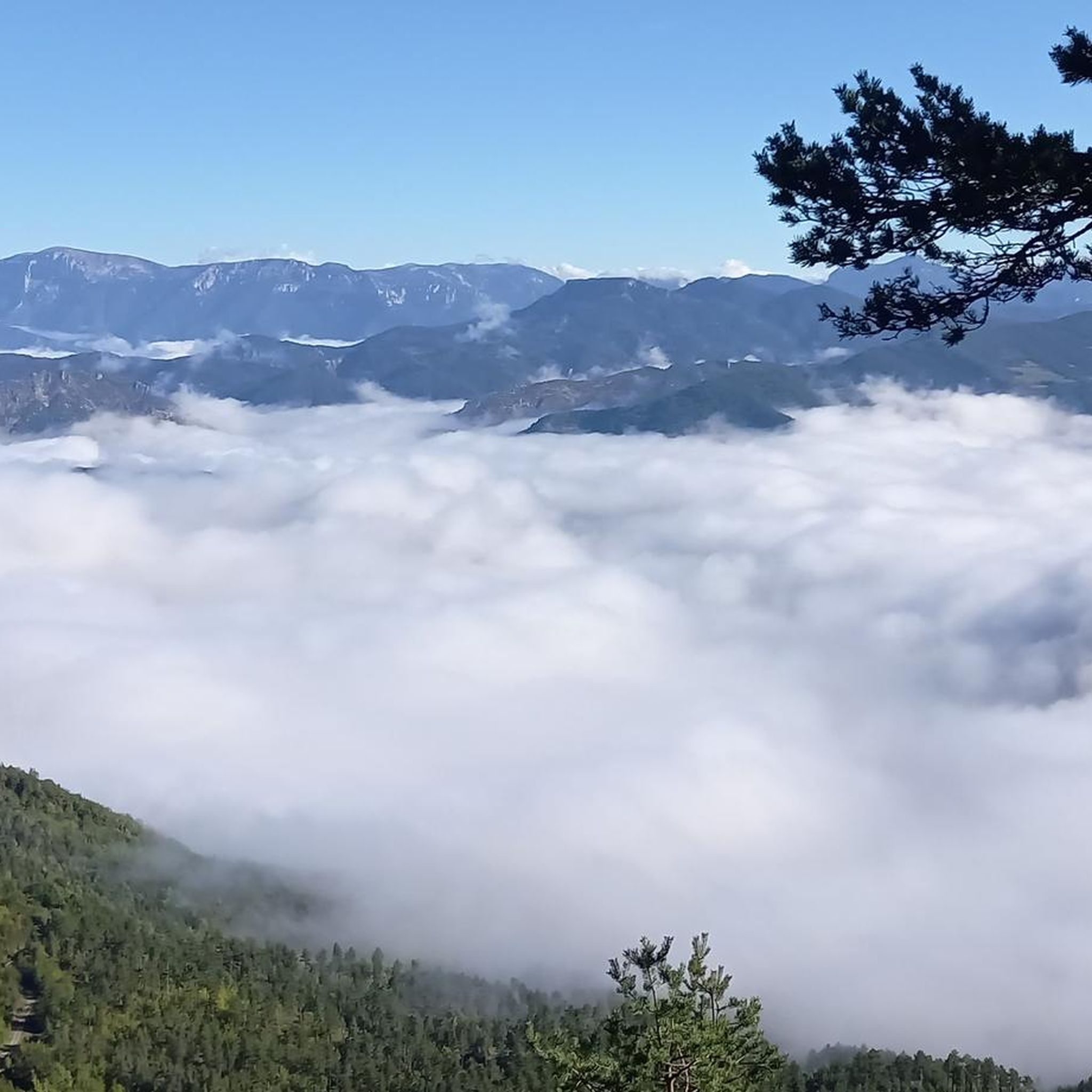
Mountain passes around Bellegarde-En-Diois offer diverse experiences for outdoor enthusiasts. Situated in the Diois region, the area provides access to numerous cols within the Vercors and Baronnies Provençales natural parks. The landscape features a mix of limestone cliffs, pine forests, and alpine meadows, transitioning between Alpine and Provençal influences. This region is known for its varied terrain, suitable for cycling, hiking, and scenic drives.
Best mountain passes around Bellegarde-En-Diois
- The most popular mountain passes is Guillens Pass (802 m),…
Last updated: August 29, 2026
Cabre Pass (1,180 m)
Highlight (Segment) • Mountain Pass
Showing Translation
Tip by

Prémol Pass
Highlight • Mountain Pass
Translated by Google •
Tip by

Sign up now to discover places like this
Get recommendations on the best single tracks, peaks, & plenty of other exciting outdoor places.
Sign up for free
Guillens Pass (802 m)
Highlight • Mountain Pass
Translated by Google •
Tip by

Pommerol Pass
Highlight (Segment) • Mountain Pass
Showing Translation
Tip by
Col de Rossas
Highlight • Mountain Pass
Translated by Google •
Tip by

Sign up for free to discover even more mountain passes around Bellegarde-En-Diois.
Sign up for free
Already have an account?
Start today with a free account
Your next adventure awaits.
Login or Signup
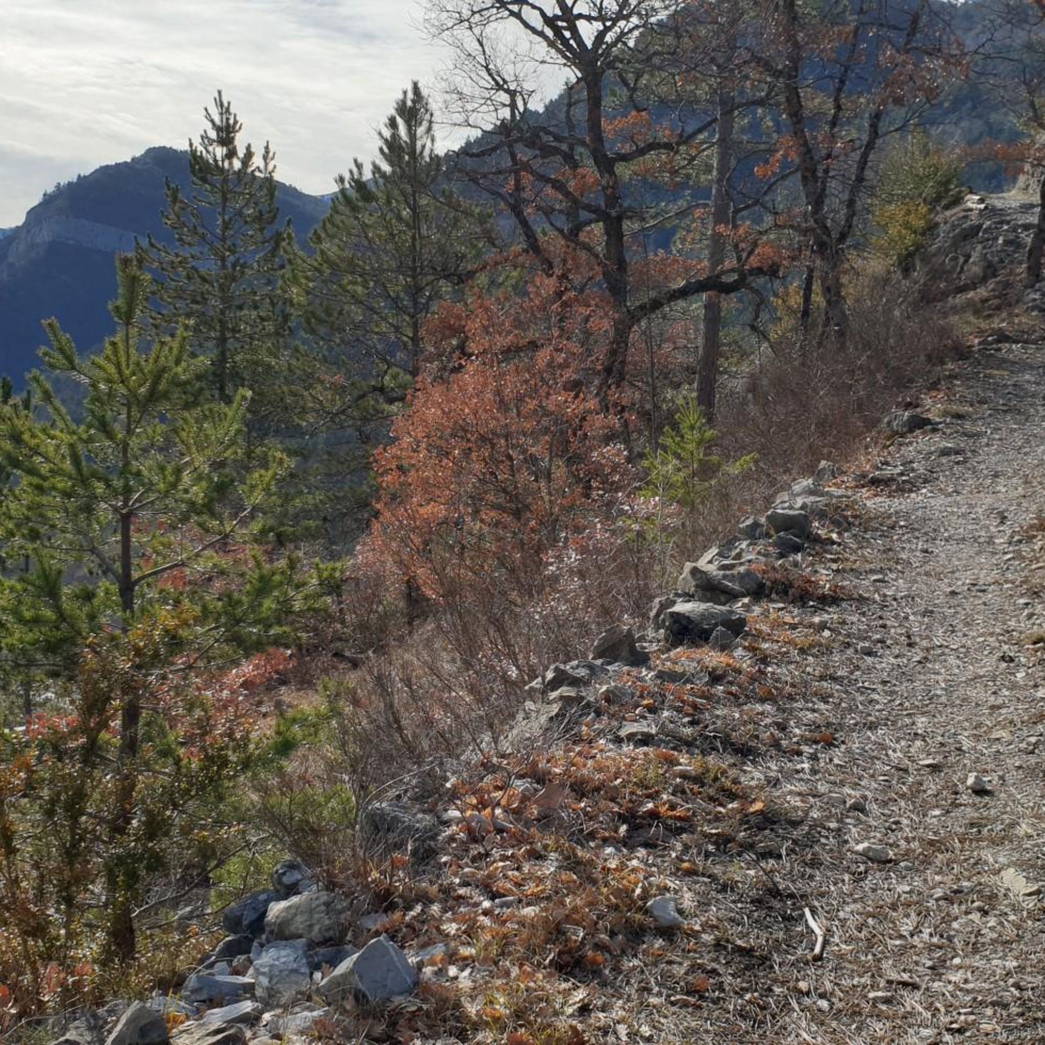
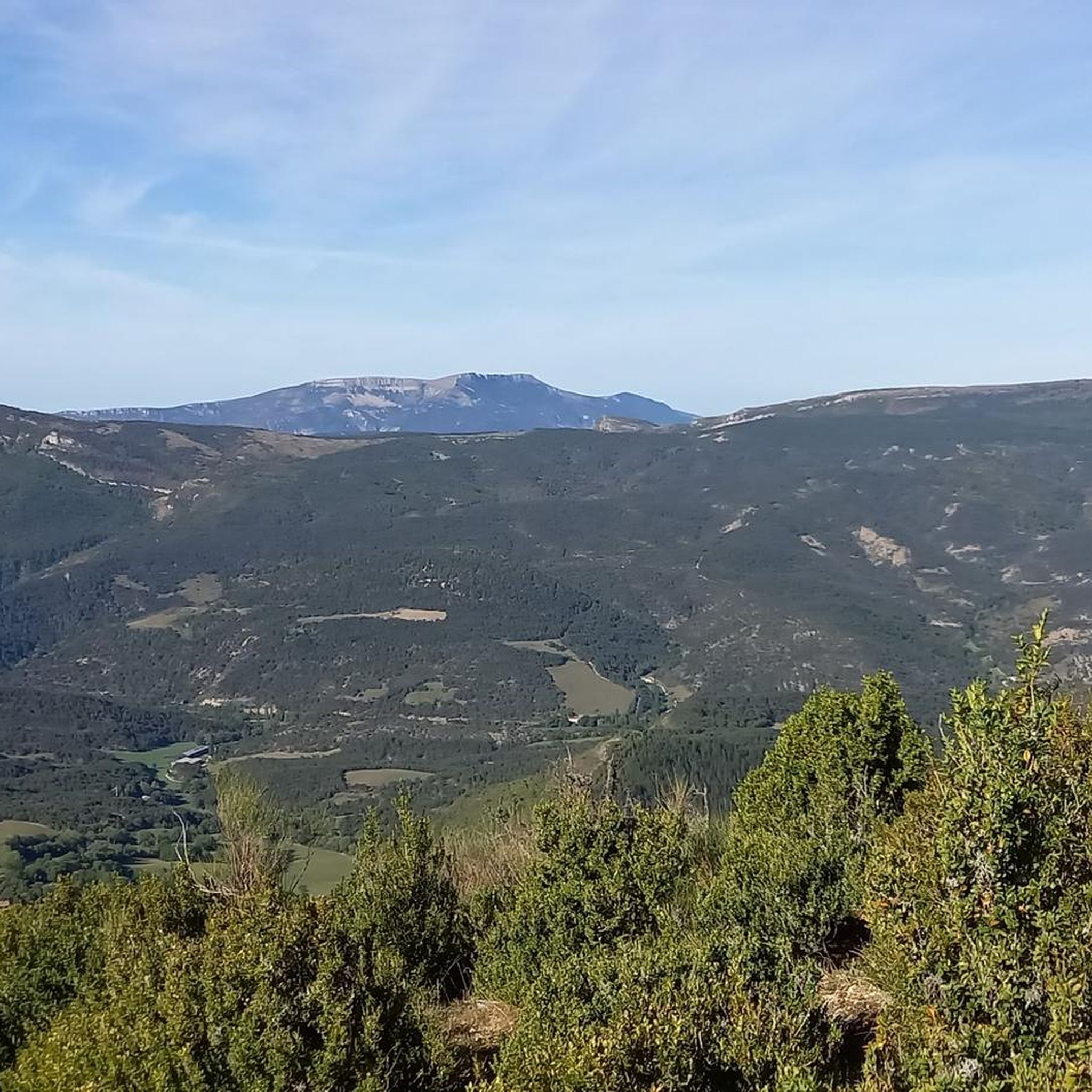
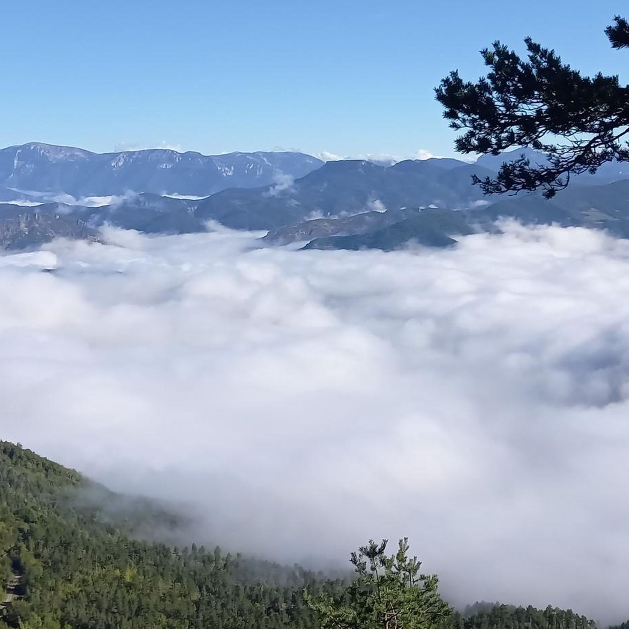
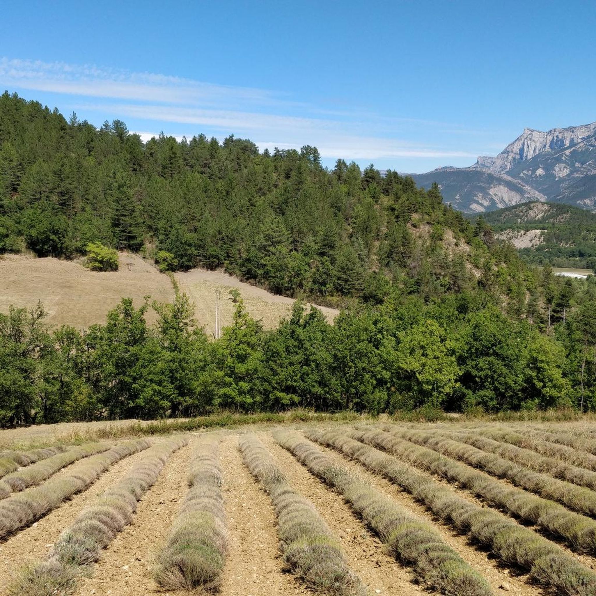
Tips from the Community

The Col de Pommerol is a climb located in the Hautes Alpes region. It is 6.6 km long, with an elevation gain of 371 m and an average gradient of 5.6%.
3
0
Col de Cabre is a mountain pass located in the southeast of France, between the departments of Drôme and Hautes-Alpes, in the regions Auvergne-Rhône-Alpes and Provence-Alpes-Côte d'Azur.
18
0
Colle di Cabre is an alpine pass located at an altitude of 1,180 meters, on the border between the French departments of Drôme and Hautes-Alpes, in the Auvergne-Rhône-Alpes region. It connects the Diois valley, to the west, with the Buëch valley, to the east, representing one of the main passages in the southern French Alps.
12
0

One of the most beautiful roads in the region.
0
0

From Valdrôme, the Col de Rossas has 6.4 kilometers of ascent between 6.5 and 7%. It is located at an altitude of 1,115 meters in the Diois massif. The road is rather calm and it is not uncommon to come across sheep and goats in the surrounding pastures. In short, you are in a quiet corner. The place offers a superb view of the plateau where you have just climbed.
2
0

The Col des Guillens from Saint-Nazaire-le-Désert is 3.9 km long with a total drop of 234 m. The average gradient is 6.1% with maximum gradients of 8.5%.
2
0

Small road pass on the D61 between Luc en Diois and La Charce. Between Drometal and Ouletal. Relatively little traffic, but due to the road closure in Bellegarde en Diois, until the beginning of July.
2
0

A small pass (963 meters) without particular difficulty with percentages between 3% and 5%.
4
0
Frequently Asked Questions
What kind of terrain can I expect on mountain passes around Bellegarde-En-Diois?
The mountain passes in the Diois region offer a diverse landscape, transitioning from lush valleys and vineyards to dramatic limestone cliffs, pine forests, and alpine meadows. You'll experience a unique ecological blend of alpine flora and Mediterranean plants, characteristic of the Vercors and Baronnies Provençales natural parks.
What outdoor activities are popular on the mountain passes near Bellegarde-En-Diois?
The region is renowned for cycle touring, with routes catering to various fitness levels. Beyond cycling, the mountainous terrain is excellent for hiking, offering trails from easy walks to more demanding ascents. Mountain biking is also very popular, with 27 routes across 7 VTT/FFC areas in the Pays Diois. You can find various routes for hiking, mountain biking, and running in the area.
Are there mountain passes suitable for different fitness levels in the Diois region?
Yes, the Diois region offers passes for all levels. You'll find challenging climbs for experienced cyclists and hikers, as well as more accessible routes. For example, Prémol Pass is considered intermediate with gentle gradients between 3% and 5%, while Col de Muse via the Bournieux Forest Track includes challenging sections with gradients up to 12%.
Which mountain passes offer the best scenic views in the area?
Many passes provide breathtaking vistas. Col de Pensier offers beautiful views of the Baronnies within a dense natural setting. Col de Rossas, located at 1,115 meters, provides superb views of the plateau you've just climbed, often with sheep and goats in the surrounding pastures. Guillens Pass (802 m) is also noted for its viewpoints.
What is the best time of year to visit the mountain passes around Bellegarde-En-Diois?
The region benefits from a blend of Alpine and Provençal influences, making spring, summer, and early autumn ideal for exploring. These seasons offer pleasant weather for cycling, hiking, and enjoying the scenic beauty, from lush greenery to vibrant autumn colors. Always check local weather conditions before heading out.
Are there any family-friendly options for exploring mountain passes?
While specific 'family-friendly' categories aren't always listed for passes, many routes in the Diois region cater to varying difficulties. Passes with lower gradients, like Prémol Pass, can be more suitable for families. Look for easier hiking or cycling routes that incorporate passes, such as the 'Pass of the Waves loop from La Motte-Chalancon' which is a moderate hike.
What geological features can be observed in the Diois region's mountain passes?
The Diois region is known for its distinctive geological formations. You can observe limestone pavements, karst formations, and shale landscapes, particularly in the Baronnies Provençales. This unique geology is a result of the region's position at the crossroads of different climatic influences.
What do visitors enjoy most about the mountain passes around Bellegarde-En-Diois?
Visitors frequently appreciate the diverse and breathtaking scenery, from dramatic cliffs to pine forests. The variety of routes for cycling and hiking, catering to all levels, is also a major draw. The tranquility and the opportunity to encounter local wildlife, such as sheep and goats, add to the charm, as noted at places like Col de Rossas.
Can I find mountain biking trails that incorporate these passes?
Absolutely. The Pays Diois is a significant mountain biking destination, featuring 7 VTT/FFC areas with 27 routes that traverse the Vercors and Baronnies Provençales. Passes like Col de Marignac and Col de Romeyer are integral parts of these demanding and scenic trails. You can explore various MTB trails around Bellegarde-En-Diois.
Are there any specific tips for cycling the mountain passes in this area?
When cycling, be aware of the varying gradients. Passes like Guillens Pass (802 m) have an average gradient of 6.1% with maximums of 8.5%. Col de Rossas features ascents between 6.5% and 7%. Always check road conditions, especially for less trafficked routes, and be prepared for encounters with local livestock in quieter areas.
Where can I find more information about the natural parks surrounding Bellegarde-En-Diois?
The mountain passes around Bellegarde-En-Diois are situated within or provide access to the Vercors and Baronnies Provençales natural parks. For more details on these protected landscapes, you can visit the Diois Tourisme website: diois-tourisme.com.
Are there any challenging mountain passes for experienced hikers or cyclists?
Yes, for those seeking a challenge, passes like Col de Muse via the Bournieux Forest Track offer demanding sections, including steep raiders at 12% and technical descents more suited for mountain biking. The region's mountain biking routes, such as those in the Vercors and Baronnies Provençales, also feature significant climbs and challenging terrain.
Most popular routes around Bellegarde-En-Diois
Most popular attractions around Bellegarde-En-Diois

Get inspired with the komoot mobile app


Explore more
See even more epic mountain passes by checking out these guides around Bellegarde-En-Diois:
