The best road cycling routes around Bellegarde-En-Diois
4.7
(90)
2,503
riders
49
rides
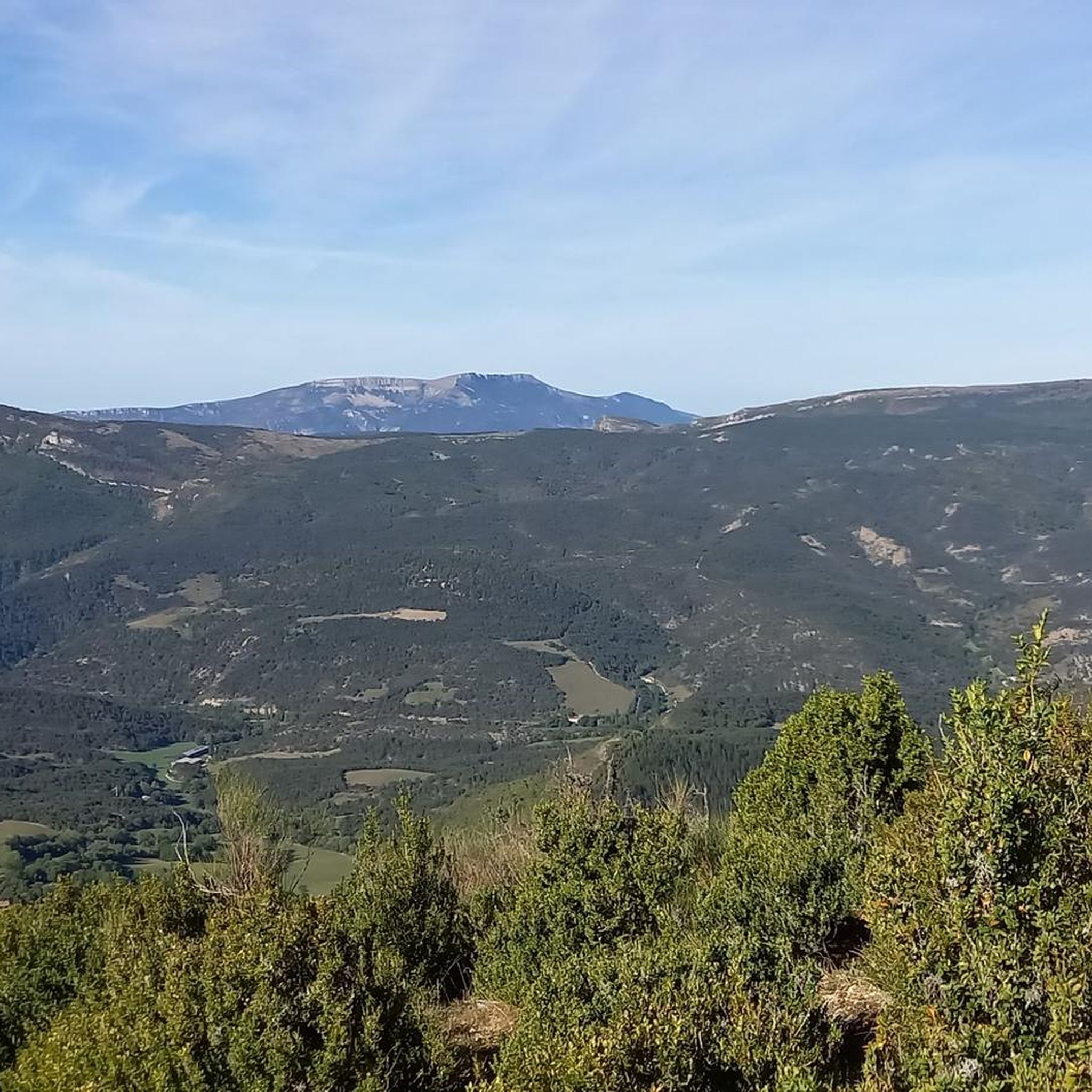
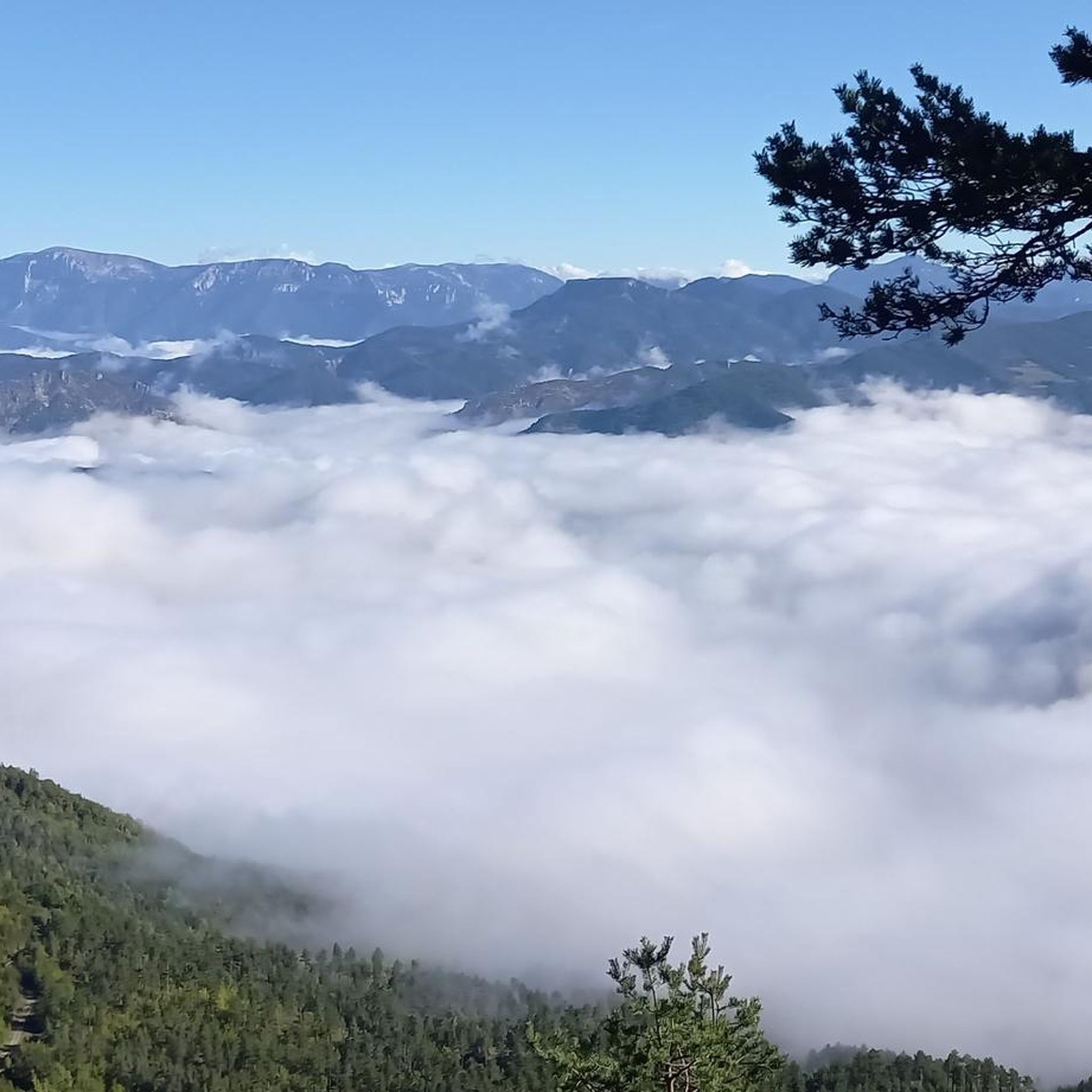
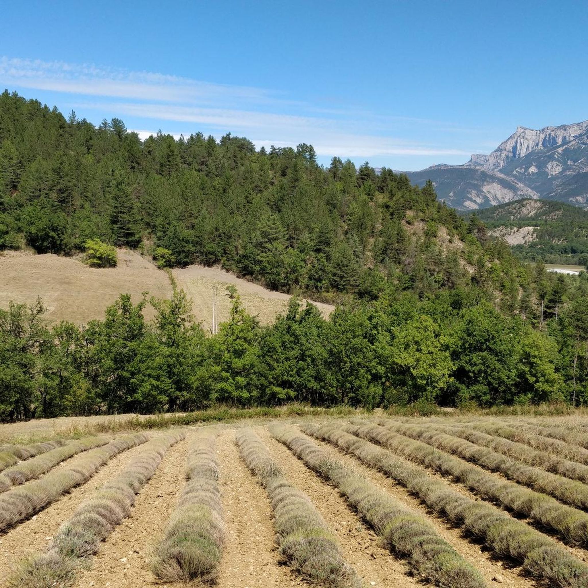
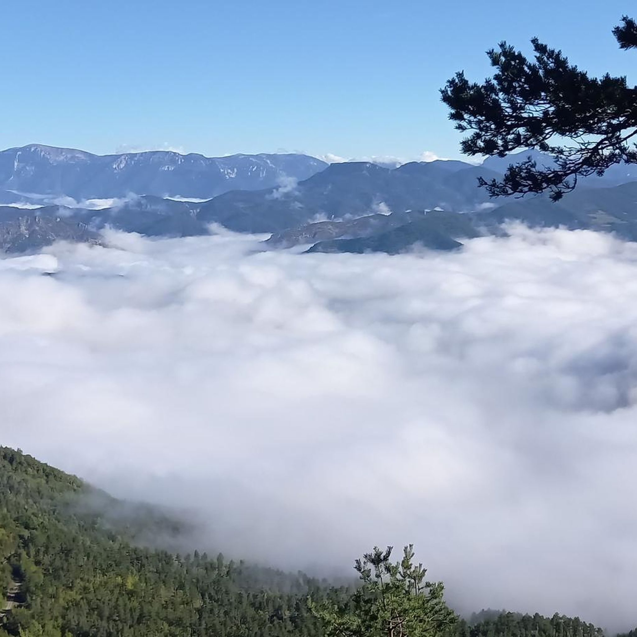
Road cycling routes around Bellegarde-En-Diois traverse a landscape characterized by significant elevation changes, including numerous mountain passes and deep gorges. The region features a mix of open valleys and more challenging climbs through rugged terrain. Road cyclists can expect to encounter varied topography, from the ascents to high passes to routes winding alongside torrents.
Best road cycling routes around Bellegarde-En-Diois
- The most popular road cycling route is Perty Pass – Ascent to Col de Perty loop from La Motte-Chalancon,…
Last updated: September 1, 2026
5.0
(4)
121
riders
81.0km
04:02
1,290m
1,290m
Hard road ride. Very good fitness required. Mostly well-paved surfaces and easy to ride.
5.0
(3)
101
riders
66.2km
03:24
1,170m
1,170m
Hard road ride. Very good fitness required. Mostly well-paved surfaces and easy to ride.

Sign up for free
4.4
(9)
162
riders
39.9km
02:09
780m
780m
Moderate road ride. Good fitness required. Mostly well-paved surfaces and easy to ride.
5.0
(6)
140
riders
76.6km
03:45
1,140m
1,140m
Hard road ride. Very good fitness required. Mostly well-paved surfaces and easy to ride.
5.0
(1)
45
riders
73.6km
04:08
1,640m
1,640m
Hard road ride. Very good fitness required. Mostly well-paved surfaces and easy to ride.
Get access to more routes and recommendations from other explorers.
Sign up for free
Already have an account?
Our route recommendations are based on thousands of hikes, rides, and runs completed by other people on komoot.
Start today with a free account
Your next adventure awaits.
Login or Signup
Tips from the Community

Excellent lunch at the Auberge de l'Oule in Cornillon, don't hesitate!
0
0

Spectacular passage through the rocks.
11
0
Luc-en-Diois is a small village in the Drôme department, in the Auvergne-Rhône-Alpes region, located in the picturesque valley of the Drôme river, between Die and the Col de Cabre. It has about 560 inhabitants and is one of the gateways to the Diois massif.
10
0
Super beautiful passage, nature has given its best here.
11
0
Here nature has given its best.
9
0
Simply stunning viewpoint.
7
0
The Gorges de la Roanne are one of the most striking natural sites in the Drôme department, in the heart of the Diois massif, about an hour from Le Saix.
8
0
Cross the spectacular cluse of Sigottier, a narrow gorge carved by the Aiguebelle stream between imposing limestone walls.
14
0
Frequently Asked Questions
How many road cycling routes are available around Bellegarde-En-Diois?
There are over 40 road cycling routes available in the Bellegarde-En-Diois region on komoot. These routes cater to various skill levels, from moderate rides to challenging climbs through mountainous terrain.
Are there easy road cycling routes for beginners in Bellegarde-En-Diois?
While the region is known for its significant elevation changes and challenging climbs, there are a few easier road cycling routes available. Out of the 43 routes, 3 are classified as easy, offering a gentler introduction to the area's beautiful landscapes.
What kind of terrain can I expect on road cycling routes in Bellegarde-En-Diois?
Road cycling in Bellegarde-En-Diois is characterized by varied topography. You'll encounter numerous mountain passes, deep gorges, and a mix of open valleys. Routes often feature ascents to high passes and sections winding alongside torrents, providing a diverse and engaging riding experience.
Are there challenging road bike climbs in the Bellegarde-En-Diois area?
Yes, Bellegarde-En-Diois is well-suited for cyclists seeking challenging climbs. The region features many routes with substantial elevation changes, including ascents to mountain passes. For example, the Perty Pass – Ascent to Col de Perty loop from La Motte-Chalancon involves over 2,100 meters of climbing.
What are some scenic viewpoints or natural attractions along the road cycling routes?
The region offers stunning natural beauty. Along your rides, you might encounter highlights such as the Saut de la Drôme and the Claps, the unique Claps Rock Chaos, or the dramatic Gorges de l'Arayon. Many routes traverse areas with panoramic views of the surrounding mountains and valleys.
Are there any historical or cultural landmarks to see while road cycling?
Yes, you can combine your ride with visits to historical sites. For instance, the View of the Old Castle – La Charce Castle loop from La Motte-Chalancon offers views of the historic La Charce Castle. The charming settlement of Luc-en-Diois is also a notable point of interest.
What do other road cyclists say about the routes in Bellegarde-En-Diois?
The road cycling routes in Bellegarde-En-Diois are highly regarded by the komoot community, boasting an average rating of 4.8 out of 5 stars from over 70 reviews. More than 2,400 road cyclists have explored this region using komoot, often praising the challenging climbs, diverse landscapes, and the beauty of the mountain passes and gorges.
Are there circular road cycling routes available?
Yes, many of the road cycling routes in Bellegarde-En-Diois are designed as loops, allowing you to start and finish at the same point. Examples include the Cabre Pass (1,180 m) – Col de Carabès loop from Marais des Bouligons and the Rémuzat – Amayon Torrent Gorge loop from La Motte-Chalancon.
What is the typical duration for road cycling routes in this region?
The duration of routes varies significantly based on distance and elevation. Shorter, moderate routes like the Rémuzat – Amayon Torrent Gorge loop from La Motte-Chalancon can take around 2 hours. Longer, more difficult routes, such as the Perty Pass – Ascent to Col de Perty loop from La Motte-Chalancon, can take nearly 6 hours to complete.
Can I find routes that feature multiple mountain passes?
Absolutely. The Bellegarde-En-Diois region is defined by its mountain passes. Routes like the Guillens Pass (802 m) – Planlara Pass (1,037 m) loop from La Motte-Chalancon are specifically designed to take you over multiple passes, offering continuous climbing and descending challenges.
What are the starting points for road cycling routes in Bellegarde-En-Diois?
Many popular routes, including the Perty Pass – Ascent to Col de Perty loop and the View of the Old Castle – La Charce Castle loop, often start from towns like La Motte-Chalancon. Other routes may begin from smaller villages or designated parking areas throughout the region, such as Marais des Bouligons for the Cabre Pass (1,180 m) – Col de Carabès loop.
Most popular attractions around Bellegarde-En-Diois

Get inspired with the komoot mobile app


Explore more
Browse the best Road cycling routes in other regions.
