Top 4 Mountain Passes around Gravières
Mountain passes around Gravières, a commune in the Ardèche department of southern France, are characterized by picturesque natural landscapes. The region features deep valleys, gorges, and scenic trails that traverse hills, offering elevated routes for exploration. Gravières provides opportunities for outdoor activities within its unique mountainous character.
Best mountain passes around Gravières
- The most popular mountain pass is Col de la Croix Blanche (White Cross Pass), a mountain pass that is 14.3 kilometers long with a total elevation gain…
Last updated: July 5, 2026
Col de la Croix Blanche (White Cross Pass)
Highlight • Mountain Pass
Translated by Google •
Tip by

Route de Villefort
Highlight • Mountain Pass
Tip by

Sign up now to discover places like this
Get recommendations on the best single tracks, peaks, & plenty of other exciting outdoor places.
Sign up for free
Col du Peras (771 m)
Highlight • Mountain Pass
The north-eastern descent/climb has very poor asphalt (be careful) , the southern side is good.
Tip by

Descent from Bonnevaux
Highlight (Segment) • Trail
Tip by
Col de Pousa (771 m)
Highlight (Segment) • Mountain Pass
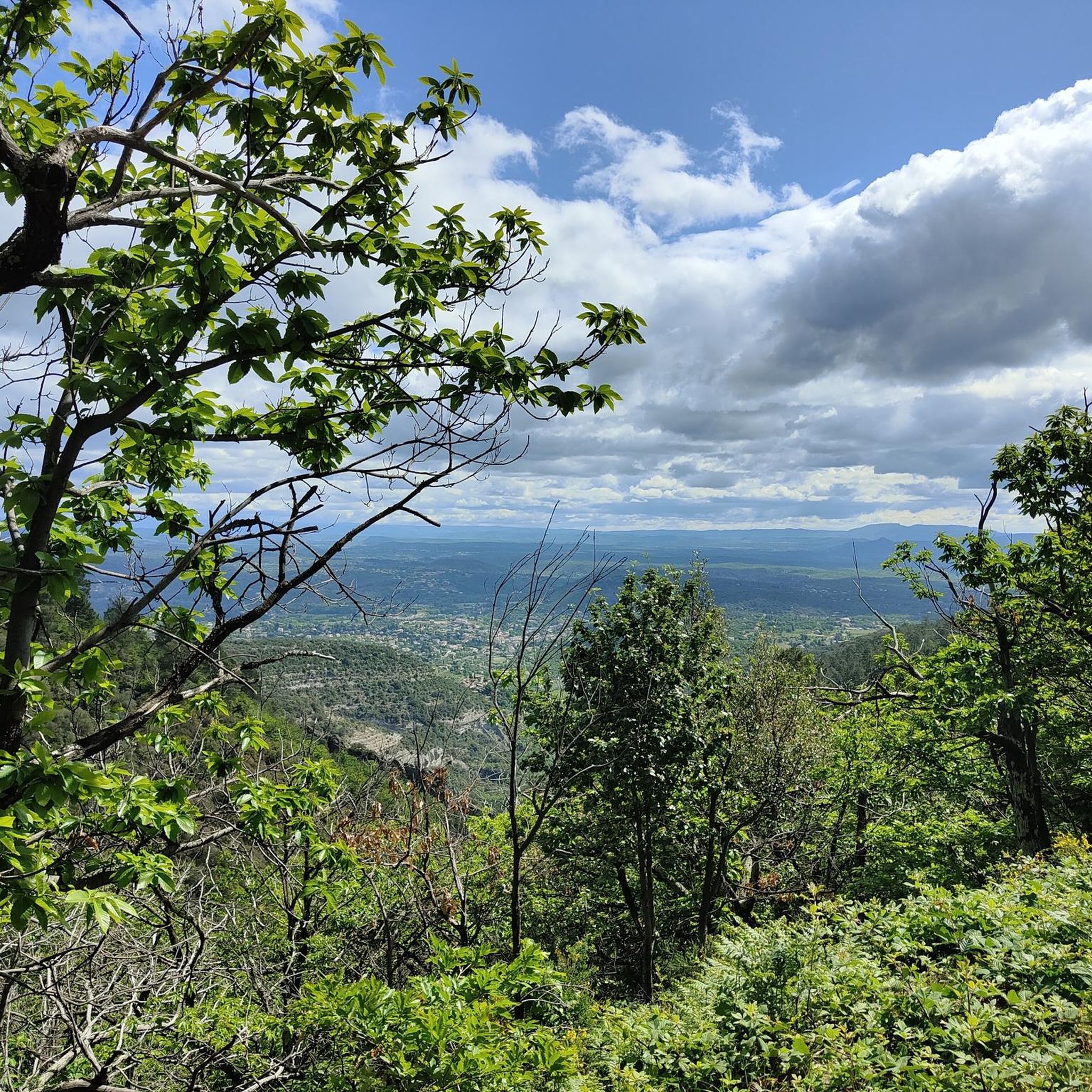
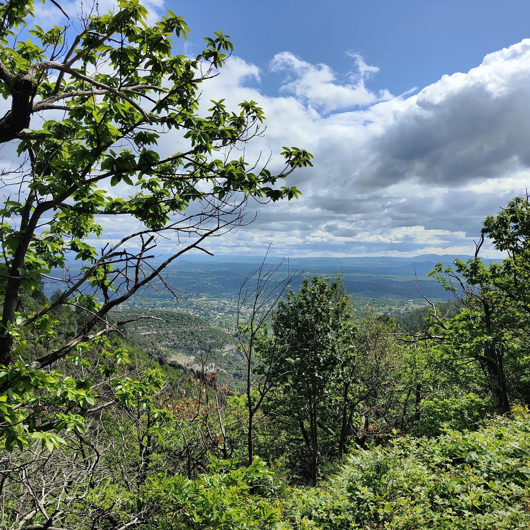
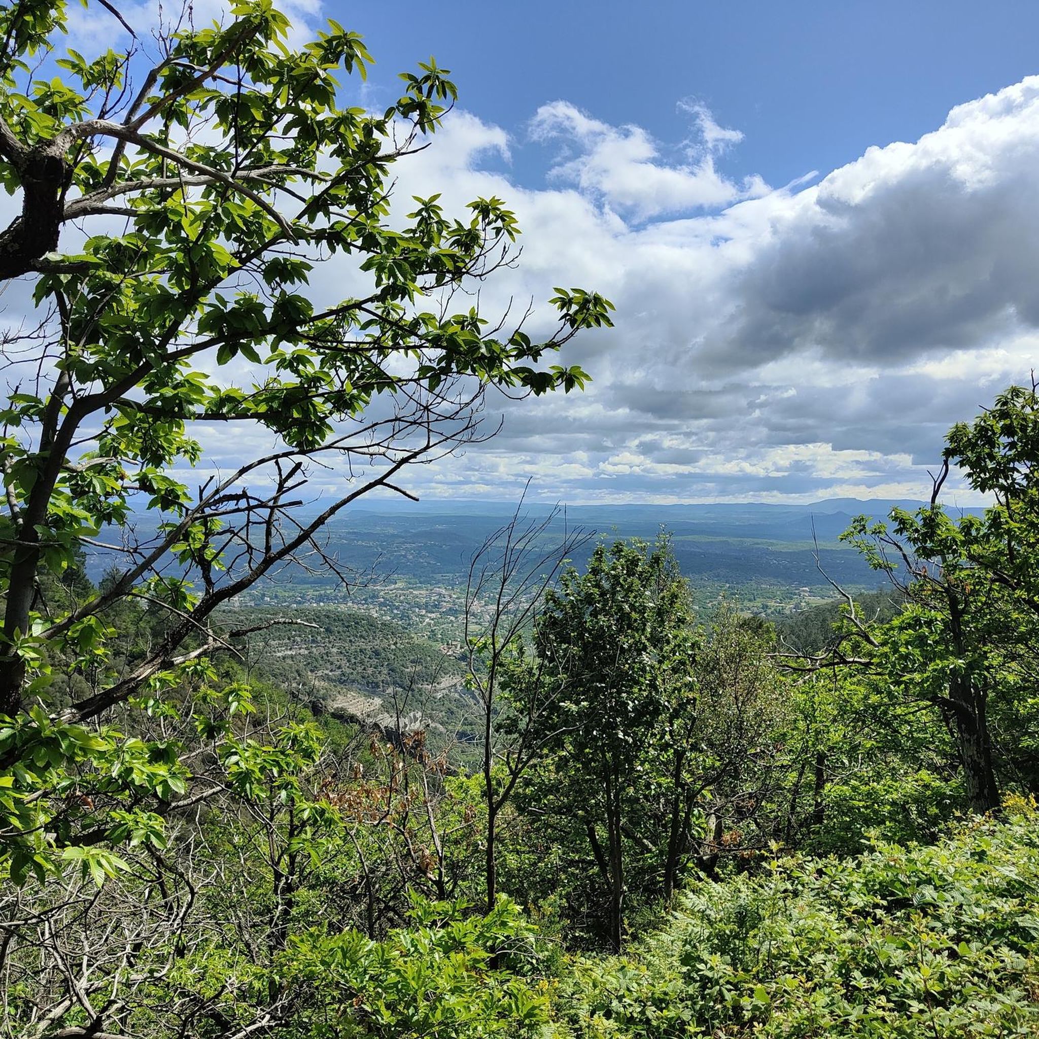
The track offers a clear view towards Concoules and its surroundings.
Translated by Google •
Tip by

Start today with a free account
Your next adventure awaits.
Login or Signup

Tips from the Community

Road then gravel track to the Col du Péras. The track offers a clear view towards Concoules and its surroundings.
0
0

A road bike/gravel highlight of the region. Very beautiful, very narrow, very bumpy road from Bonnevaux into the valley. Wider tires are very useful here. Watch out for oncoming traffic!
0
0

Magnificent views, awesome climbs and climbs :)
0
0

To be absolutely avoided on a road bike, unless like me you want to die! The descent is in a pitiful and unworthy state! Presence of gravel, stones, and especially bumps and holes occupying for some half of the roadway and a depth of several cm! Impassable descent by road bike although a priori a Departmental road. A shame !
0
0

The Col de la Croix Blanche from Chambonas is 14.3 kilometers long with a total elevation gain of 770 meters. The average slope is 5.4% with maximum slopes of 10.9%.
2
0

A great pass to climb!! Well shaded throughout its 15 km climb.. not too much traffic for the moment!!!
0
0

Col du Peras, North-east descent is not really suitable for racebikes. The asphalt conditions are very, very poor! Be carefull.
1
0
The name is: Col du Peras. Altitude: 771m. The north-eastern descent/climb has very poor asphalt (be careful) , the southern side is good.
0
0
Frequently Asked Questions
What makes the mountain passes around Gravières unique?
The mountain passes around Gravières are characterized by picturesque natural landscapes, deep valleys, gorges, and scenic trails that traverse hills. While not high-altitude Alpine passes, they offer elevated routes for exploration within the unique mountainous character of the Ardèche region, providing stunning views and challenging climbs.
What are some of the most scenic mountain passes in the Gravières area?
Visitors often enjoy the magnificent views from Col de la Croix Blanche (White Cross Pass), which offers awesome climbs and panoramas. Another popular spot is Route de Villefort, known for its beautiful and intense climb through well-shaded sections. Col de Pousa (771 m) also provides clear views towards Concoules and its surroundings.
Are there family-friendly mountain passes or routes near Gravières?
Yes, Route de Villefort is categorized as family-friendly, offering a beautiful and intense climb that is well-shaded. For general family-friendly outdoor activities, you can explore the Mountain Hikes around Gravières guide, which includes moderate routes like the 'Païolive Woods – View of Chassagnes loop'.
What outdoor activities can I do near the mountain passes around Gravières?
The area around Gravières is excellent for various outdoor activities. You can find numerous Road Cycling Routes, challenging MTB Trails, and scenic Mountain Hikes. These guides offer routes that often incorporate or pass near the local mountain passes.
Are there specific routes for road cycling enthusiasts around Gravières' mountain passes?
Absolutely. Road cyclists can enjoy routes like the 'Col de la Croix Blanche (White Cross Pass) – Col de l'Echelette (845 m) loop from Chambonas,' which is a difficult 86 km ride. The Road Cycling Routes around Gravières guide provides more options, including those that feature passes like Col de la Croix Blanche.
What about mountain biking trails near Gravières' mountain passes?
Mountain bikers have several options, such as the 'Along the Thines – Col de la Croix Blanche (White Cross Pass) loop from Gravières,' a difficult 37 km trail. The MTB Trails around Gravières guide lists various routes, including those that traverse areas with mountain passes and offer diverse terrain.
Are there hiking trails associated with the mountain passes in Gravières?
Yes, many of the elevated routes and passes in the Gravières area are part of or connect to hiking trails. For instance, the 'Upper Ganière Valley and the Sentier du Facteur' offers steep ascents and descents through scenic landscapes. You can find more options in the Mountain Hikes around Gravières guide, which includes routes like 'Païolive Woods – View of Chassagnes loop'.
What should I know about road conditions on these mountain passes?
It's important to be aware of varying road conditions. For example, the north-eastern descent/climb of Col du Peras (771 m) is known for very poor asphalt, making it unsuitable for race bikes due to gravel, stones, bumps, and holes. The southern side, however, is generally in good condition. If you encounter the 'Descent from Bonnevaux' near Col du Peras, wider tires are highly recommended.
What kind of views can I expect from the mountain passes near Gravières?
From the mountain passes around Gravières, you can expect magnificent views of the Ardèche's picturesque natural landscapes, including deep valleys, gorges, and dense woodlands. Highlights like Col de la Croix Blanche are specifically noted for their stunning panoramas, and Col de Pousa offers clear views of the surrounding countryside.
What is the best time to visit the mountain passes around Gravières?
The region around Gravières is generally pleasant for outdoor activities from spring through autumn. During these seasons, the weather is typically mild, making it ideal for cycling, hiking, and enjoying the scenic views. Summer offers warm, sunny days, while spring and autumn provide cooler temperatures and beautiful foliage. Winter can bring colder conditions, and some routes might be less accessible.
Are there any challenging climbs among the mountain passes in Gravières?
Yes, the area is known for challenging climbs. Col de la Croix Blanche (White Cross Pass), for instance, has a total elevation gain of 770 meters over 14.3 kilometers, with maximum slopes reaching 10.9%. Route de Villefort is also described as an intense climb, popular among those seeking a good workout.
Can I find circular walks that include mountain passes in the Gravières area?
While specific circular walks directly named after the listed passes aren't detailed, the region offers many circular hiking routes that traverse elevated terrain and scenic points. For example, the 'Bois de Païolive and Ruisseau du Granzon' area near Gravières features a circular loop with a climb out of a canyon onto a plateau, offering similar experiences to a mountain pass. You can explore the Mountain Hikes around Gravières guide for more circular options.
Most popular routes around Gravières
Most popular attractions around Gravières

Get inspired with the komoot mobile app


Explore more
See even more epic mountain passes by checking out these guides around Gravières:
