The best running trails around Gravières
4.5
(117)
1,181
runners
191
runs
Jogging around Gravières offers routes through varied terrain, including paths along the Chassezac River and ascents to local summits. The landscape features river valleys, open areas, and some more challenging hilly sections. These running routes provide opportunities to explore the natural environment of the region.
Best jogging routes around Gravières
- The most popular jogging route is Nassier Beach – Chassezac River loop from Gravières, a 5.2 miles (8.3 km) trail that takes 55 minutes to complete. This moderate route…
Last updated: June 24, 2026
25
runners
8.54km
00:56
140m
150m
Moderate run. Good fitness required. Mostly paved surfaces. Suitable for all skill levels.
4.5
(2)
41
runners
13.1km
01:26
170m
170m
Moderate run. Good fitness required. Mostly paved surfaces. Suitable for all skill levels.

Sign up for free
5.0
(6)
9
runners
6.28km
00:43
190m
180m
Moderate run. Good fitness required. Mostly paved surfaces. Suitable for all skill levels.
10
runners
8.97km
01:08
250m
250m
Moderate run. Good fitness required. Mostly paved surfaces. Suitable for all skill levels.
4.0
(1)
9
runners
7.75km
01:25
610m
610m
Hard run. Very good fitness required. Mostly paved surfaces. Suitable for all skill levels.
Get access to more routes and recommendations from other explorers.
Sign up for free
Already have an account?
Our route recommendations are based on thousands of hikes, rides, and runs completed by other people on komoot.
Start today with a free account
Your next adventure awaits.
Login or Signup

Tips from the Community

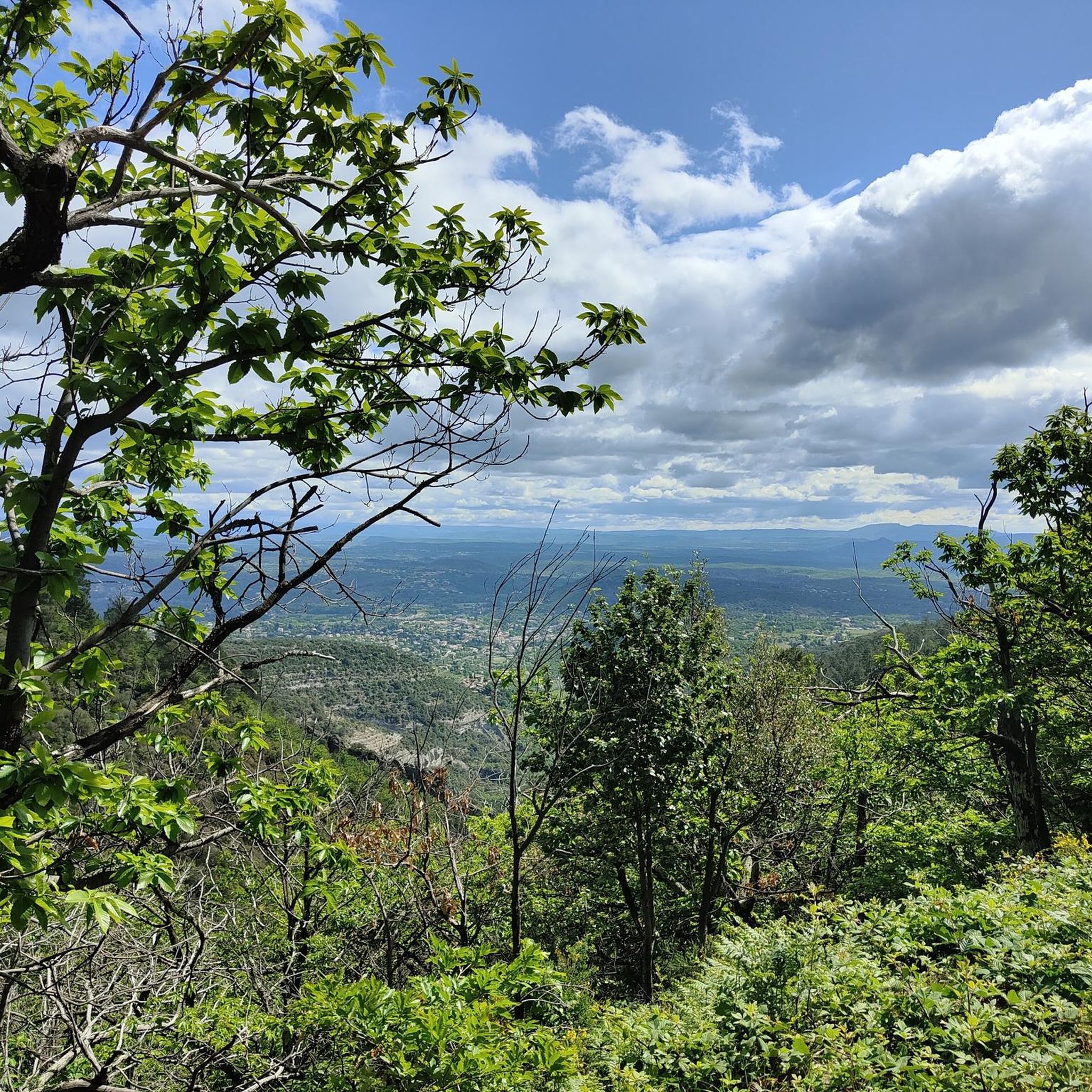
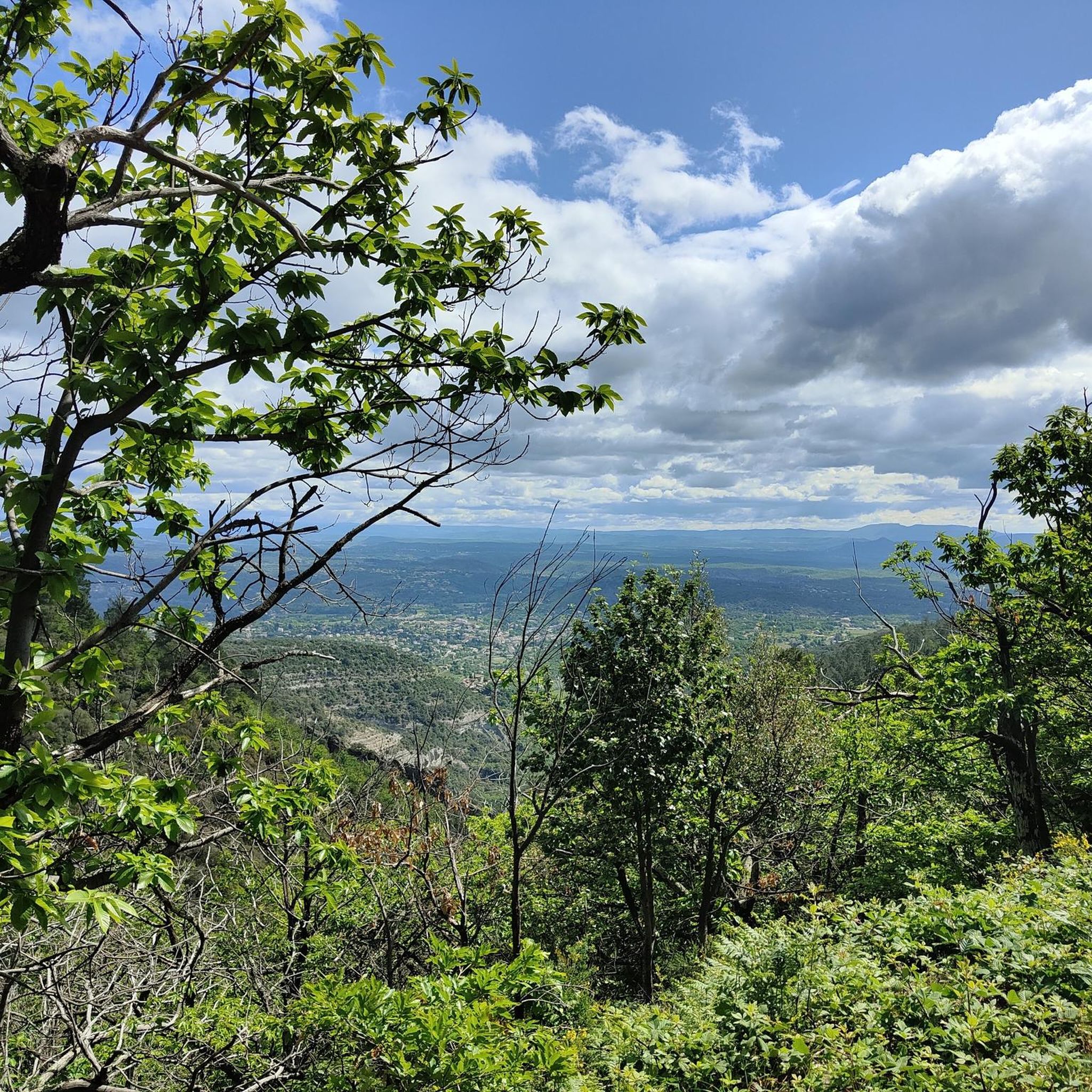
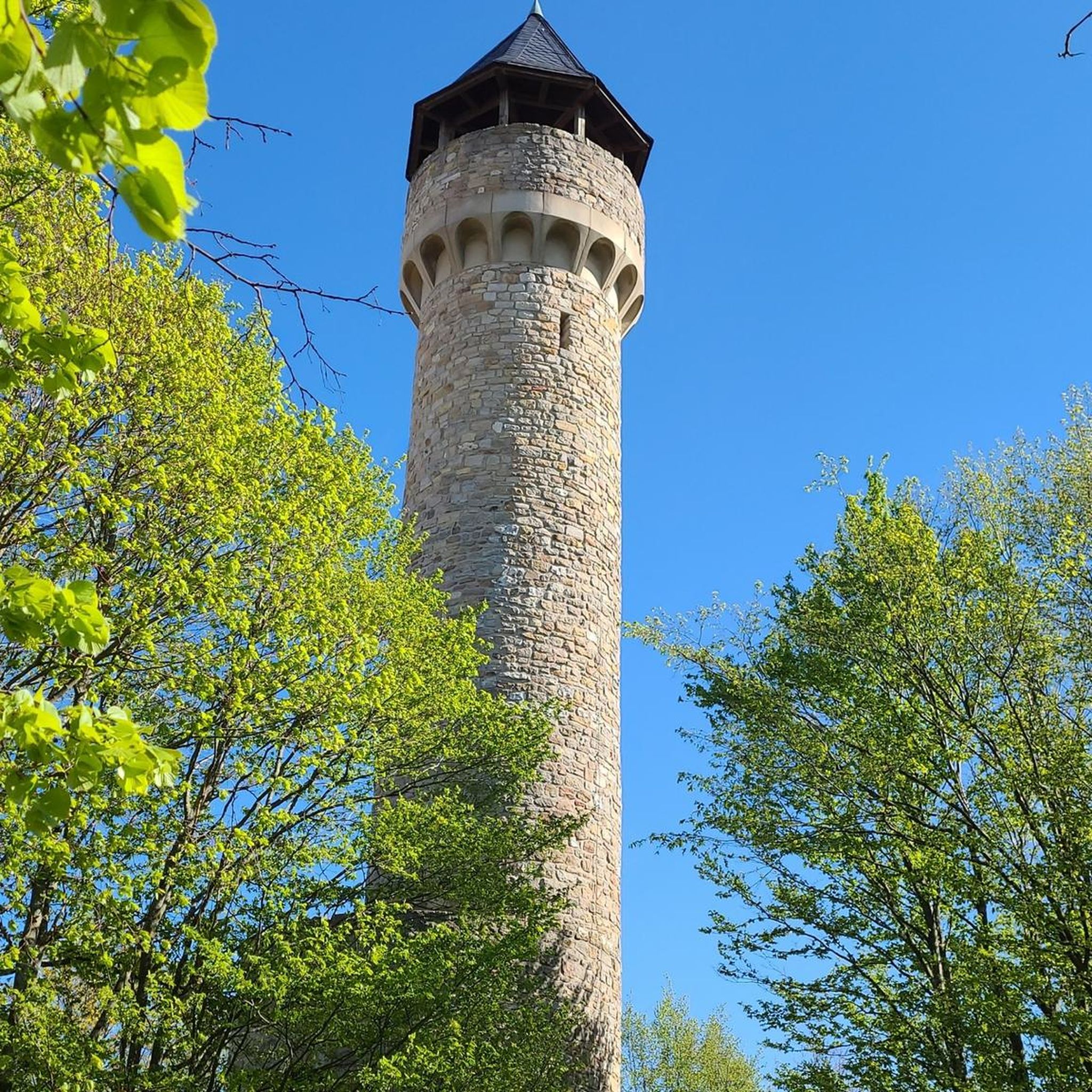
We don't know what the purpose was, but the view is great
1
0


Beautiful summit with a wonderful view
4
0
Beautiful summit with great views
5
0

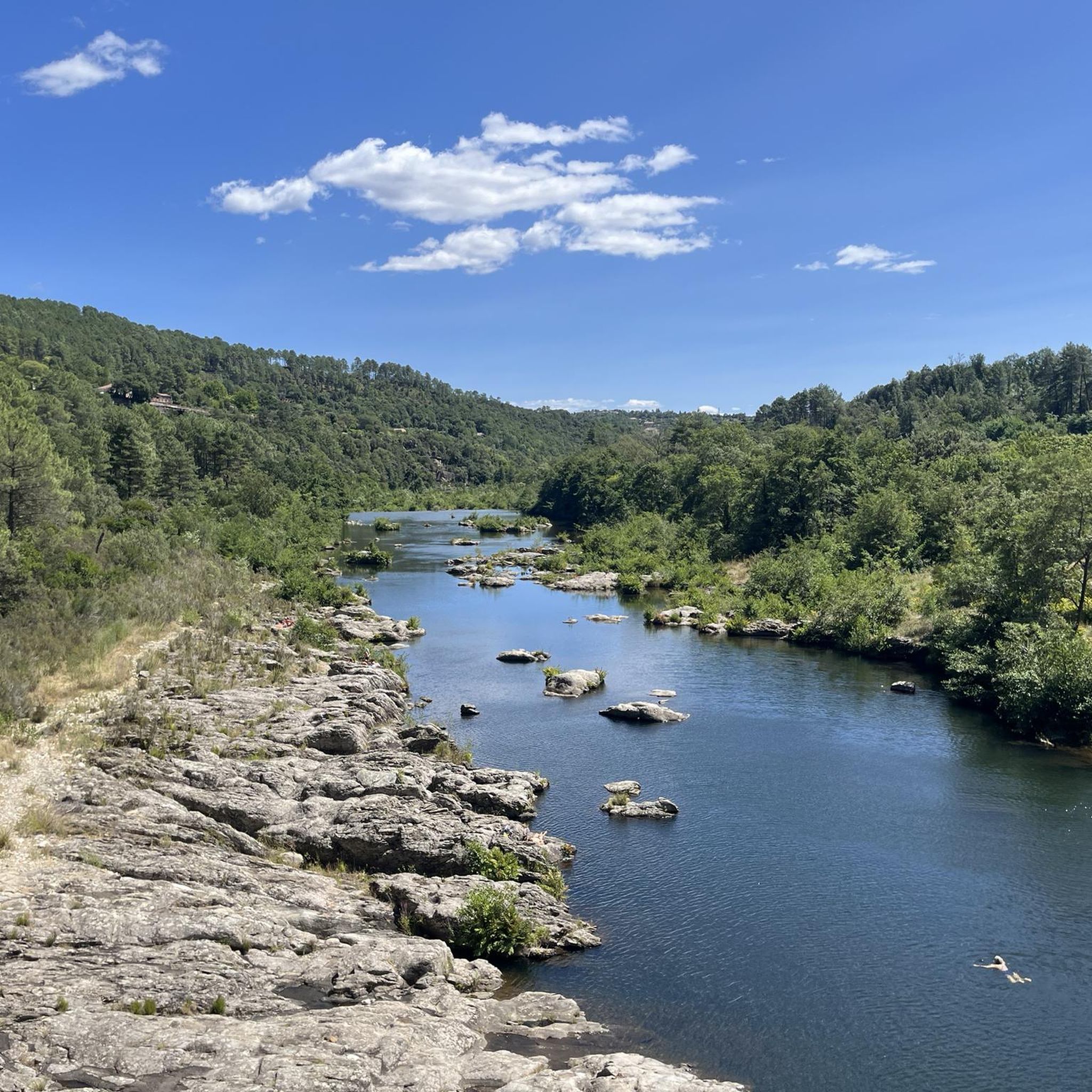
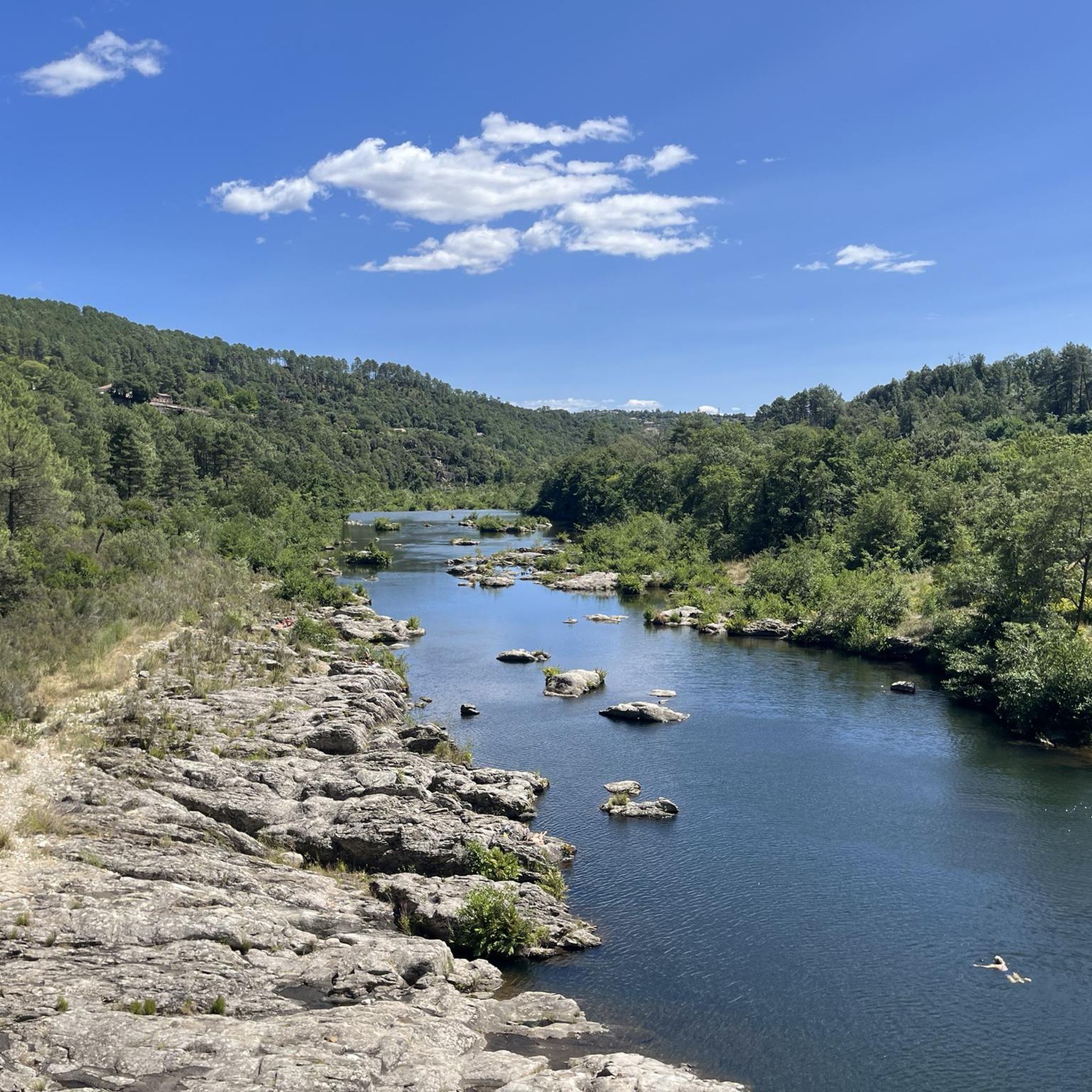
The Chassezac, a winding river that crosses the Cévennes and the Ardèche, offers an exceptional natural setting for outdoor enthusiasts. Its spectacular gorges, surrounded by limestone cliffs and green forests, create a perfect setting for outdoor activities such as canoeing, hiking or climbing. The crystal-clear waters of the Chassezac invite you to swim or take a refreshing break in the heart of wild nature.
1
0

just across the bridge on the corner is a lovely cozy restaurant
0
0

On the banks of the Chassezac, at the Nassier bridge, this pretty beach invites you to swim after a hike.
0
0

Wonderful bathing area and great picnic - place
0
0
Frequently Asked Questions
How many running routes are available around Gravières?
There are over a dozen dedicated running routes around Gravières, catering to various fitness levels. You'll find a mix of moderate and more challenging trails to explore the region's diverse landscape.
Are there any easy or beginner-friendly jogging routes in Gravières?
While there are no routes specifically classified as 'easy' in our current selection, many of the moderate trails offer manageable terrain for those new to running. For example, the Nassier Beach – Chassezac River loop from Gravières is a moderate 8.3 km route that follows the river, providing a relatively gentle experience.
Can I find circular running routes in the Gravières area?
Yes, many of the running routes around Gravières are circular, allowing you to start and finish at the same point. A popular option is the Running loop from Gravières, which offers a comprehensive tour of the local scenery.
What kind of scenery can I expect on jogging trails near Gravières?
Jogging routes in Gravières offer varied scenery, including paths along the Chassezac River, views of its gorges, and ascents to local summits like Serre de Barre. You'll experience river valleys, open areas, and some more challenging hilly sections, showcasing the natural beauty of the Ardèche region.
Are there any running routes that pass by interesting landmarks or natural attractions?
Absolutely! Many routes offer opportunities to see local attractions. You might encounter natural wonders like the Labyrinth of Rocks of the Cévennes or the stunning Gorges du Chassezac. Some trails also lead near swimming spots like the Swimming Spot at the Chassezac Cliffs.
What do other runners say about the trails in Gravières?
The running routes in Gravières are highly regarded by the komoot community, with an average score of 4.4 stars from over 100 reviews. Runners often praise the varied terrain, the beautiful riverside paths, and the challenging climbs to local summits.
Are there any longer, more challenging running routes for experienced runners?
Yes, for experienced runners seeking a challenge, Gravières offers several difficult routes. The The Alauzas – Serre de Barre Summit loop from Gravières is a demanding 17.8 km trail with significant elevation gain, leading to the Serre de Barre Summit.
Are the running routes around Gravières suitable for families?
While there are no routes specifically designated as 'family-friendly' in our data, many of the moderate riverside paths could be suitable for active families. Consider routes with less elevation gain, such as those along the Chassezac River, for a more relaxed experience.
What is the typical duration for a running route in Gravières?
Running route durations vary significantly based on distance and difficulty. Moderate routes like the Nassier Beach – Chassezac River loop typically take around 55 minutes, while more difficult and longer trails, such as the Serre de Barre Summit – The Alauzas loop, can take over 2 hours.
Are there any running trails that offer views of lakes or water bodies?
Yes, several running routes in the wider Gravières area feature water bodies. While many follow the Chassezac River, you can also find trails that offer views of Lac de Villefort, providing a different aquatic landscape.
What is the best time of year for jogging in Gravières?
The region around Gravières is generally pleasant for jogging during spring and autumn, when temperatures are milder. Summer can be warm, especially in the river valleys, so early mornings or late evenings are preferable. Winter offers crisp air, but some higher or less maintained paths might be more challenging.
Are there options for parking near the starting points of running routes?
Yes, many running routes around Gravières have convenient parking options near their starting points, especially those originating directly from the village or popular recreational areas along the Chassezac River. It's always advisable to check the specific route details for parking information.
Most popular routes around Gravières
Most popular attractions around Gravières

Get inspired with the komoot mobile app


Explore more
Browse the best Running Trails & Routes in other regions.
