Top 11 Natural Monuments around Brutelles
Best natural monuments around Brutelles are found in the wider Bay of Somme region, offering diverse landscapes and ecological significance. Brutelles serves as a gateway to these coastal and natural attractions, which include impressive chalk cliffs, expansive bays, and unique coastal habitats. The area provides opportunities to experience the natural beauty and wildlife of the Hauts-de-France region. These natural features contribute to the region's appeal for outdoor activities.
Best natural monuments around Brutelles
- The most popular natural monuments is La…
Last updated: October 8, 2026
Ault Chalk Cliffs
Highlight • Natural Monument
Translated by Google •
Tip by

Cape Hornu
Highlight • Beach
The name Cap Hornu comes from the Picard word “hornu”, which means “horned” …
Tip by
Sign up now to discover places like this
Get recommendations on the best single tracks, peaks, & plenty of other exciting outdoor places.
La Cise Cliff
Highlight • Natural Monument
Translated by Google •
Tip by

Cliffs of Ault
Highlight • Natural Monument
Even if the city has lost its splendor, the site is impressive, because to the north, the plain of …
Translated by Google •
Tip by

Statue of Notre-Dame de la Falaise (Mers-les-Bains)
Highlight • Monument
Translated by Google •
Tip by

Sign up for free to discover even more natural monuments around Brutelles.
Already have an account?
Start today with a free account
Your next adventure awaits.

Tips from the Community

The cliffs are made of chalk and are impressive to look at.
3
0
Here in Ault begin the chalk cliffs, which stretch all the way to Normandy and repeatedly appear as enormous cliffs.
4
0


The cliffs around the beach of Ault are composed of chalk from the Upper Cretaceous, more precisely from the Turonian and Coniacian (around 83 million years ago to 90 million years ago). They are strewn with flint nodules which highlight the subhorizontal stratification planes (the formation of flint has already been discussed in Discovery of the geology of the cliffs of Étretat, presentation of an excursion from the beach of Tilleul (Antifer) to the Porte d'Amont (Étretat Nord)). The relative proportion of chalk and flint is around 90-95% chalk to 5-10% flint. Flint horizons are stratigraphic markers. On the cliffs of Ault, the regular flint band called Seven Sisters is recognizable and characterizes the boundary between the Middle Coniacian and the Upper Coniacian (around 87 million years ago). The boundary between the lower and middle Coniacian is marked by the Shoreham 2 marl level, which is more difficult to identify. These lithostratigraphic markings allow in particular the correlation of distant deposits, such as between the Normandy and Picardy coasts, or between the French and English coasts.
3
0
The cliffs around the beach of Ault are composed of chalk from the Upper Cretaceous, more precisely from the Turonian and Coniacian (around 83 million years ago to 90 million years ago). They are strewn with flint nodules which highlight the subhorizontal stratification planes (the formation of flint has already been discussed in Discovery of the geology of the cliffs of Étretat, presentation of an excursion from the beach of Tilleul (Antifer) to the Porte d'Amont (Étretat Nord)). The relative proportion of chalk and flint is around 90-95% chalk to 5-10% flint. Flint horizons are stratigraphic markers. On the cliffs of Ault, the regular flint band called Seven Sisters is recognizable and characterizes the boundary between the Middle Coniacian and the Upper Coniacian (around 87 million years ago). The boundary between the lower and middle Coniacian is marked by the Shoreham 2 marl level, which is more difficult to identify. These lithostratigraphic markings allow in particular the correlation of distant deposits, such as between the Normandy and Picardy coasts, or between the French and English coasts.
2
0
The cliffs around the beach of Ault are composed of chalk from the Upper Cretaceous, more precisely from the Turonian and Coniacian (around 83 million years ago to 90 million years ago). They are strewn with flint nodules which highlight the subhorizontal stratification planes (the formation of flint has already been discussed in Discovery of the geology of the cliffs of Étretat, presentation of an excursion from the beach of Tilleul (Antifer) to the Porte d'Amont (Étretat Nord)). The relative proportion of chalk and flint is around 90-95% chalk to 5-10% flint. Flint horizons are stratigraphic markers. On the cliffs of Ault, the regular flint band called Seven Sisters is recognizable and characterizes the boundary between the Middle Coniacian and the Upper Coniacian (around 87 million years ago). The boundary between the lower and middle Coniacian is marked by the Shoreham 2 marl level, which is more difficult to identify. These lithostratigraphic markings allow in particular the correlation of distant deposits, such as between the Normandy and Picardy coasts, or between the French and English coasts.
3
0

Ault is a beautiful place. Beautifully laid out paths above and below the impressive cliffs. The town center is perfect for relaxing. There are a few cafes and bistros for when you get a little hungry. There are benches everywhere where you can sit and enjoy a few minutes of peace and the wonderful views.
1
0

Great panorama, but also depressing how fleeting everything is.
0
0
Frequently Asked Questions
What unique natural features define the landscape around Brutelles?
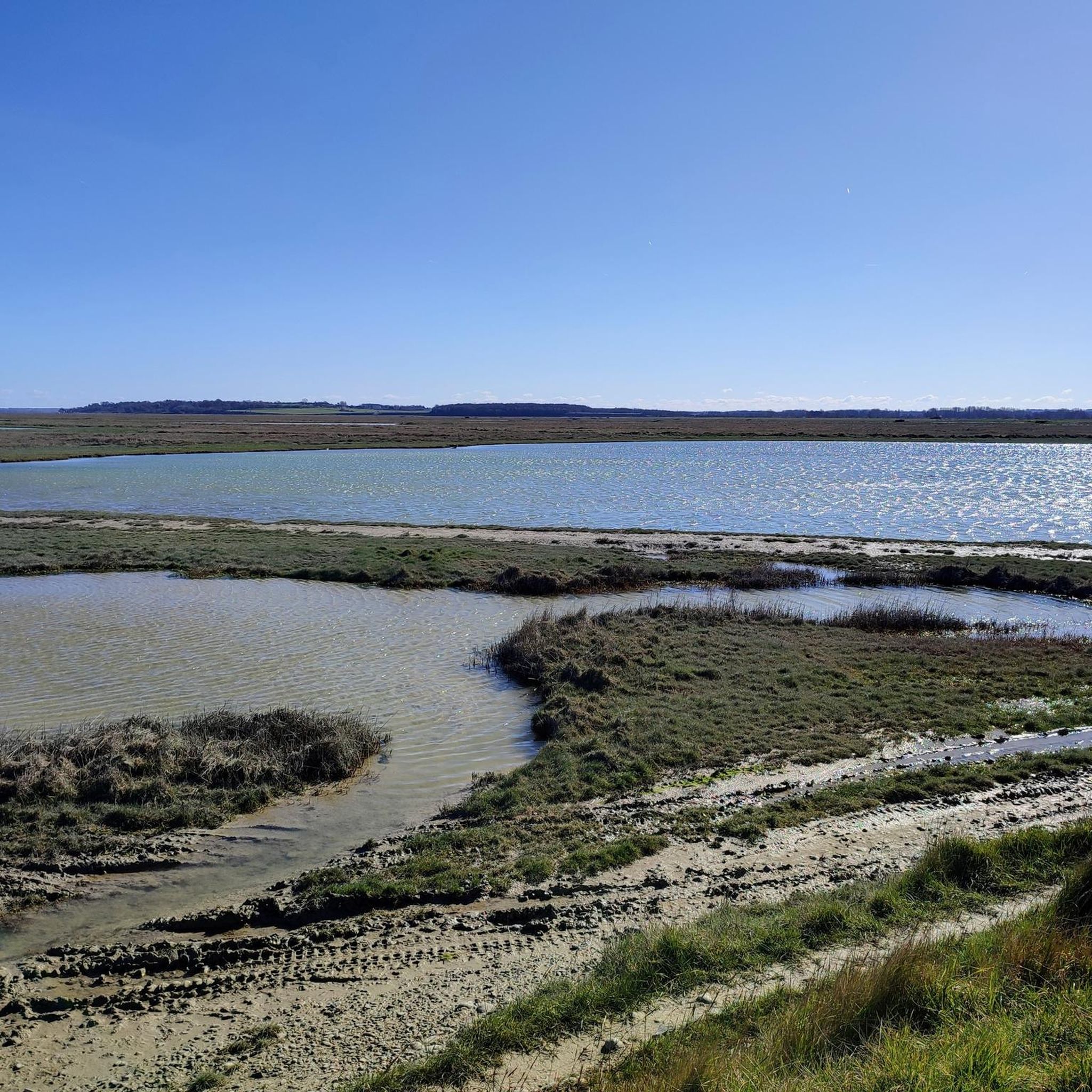
The area around Brutelles is characterized by its dramatic coastal scenery, particularly the impressive chalk cliffs that mark the edge of the Normandy Alabaster Coast. You'll also find expansive bays, diverse coastal habitats, and unique ecosystems like marshes and peat bogs, especially within the wider Bay of Somme region.
Are there any family-friendly natural monuments to visit near Brutelles?
Yes, Cape Hornu is considered family-friendly. It's a beach and natural monument near Saint-Valery-sur-Somme, offering panoramic views of the bay and its wildlife, which can be enjoyable for all ages.
Where can I experience the most impressive chalk cliffs in the area?
For impressive chalk cliffs, you should visit the Ault Chalk Cliffs. These mark the beginning of the Normandy Alabaster Coast and offer exceptional geographical features and visual impact. Another stunning example is La Cise Cliff, a white chalk cliff overlooking the turquoise sea of the Bay of Somme.
What kind of wildlife can be observed at the natural monuments near Brutelles?
The natural monuments and surrounding areas, especially the Bay of Somme, are rich in wildlife. You can observe diverse bird species, and the region is well-known for its seal colony. The Hâble d'Ault, for instance, is home to various waterfowl like mallards, shovelers, and mute swans, as well as unique coastal plants.
What outdoor activities can I do near these natural monuments?
The region offers a variety of outdoor activities. You can explore numerous cycling routes, such as those found in the Cycling around Brutelles guide, or try gravel biking with routes like 'Cliffs – Eastern end of Falaises d'Albâtre, Ault coastal panorama loop' from the Gravel biking around Brutelles guide. There are also MTB trails, including 'Lighthouse far away from the beach – Somme Bay loop' in the MTB Trails around Brutelles guide.
Are there any specific routes for exploring the coastal nature by bike?
Yes, the White Route of the Bay of Somme (La Route Blanche) is a popular paved cycleway that runs along the coast. It provides excellent opportunities to discover the fauna and flora of the Baie de Somme, with several access points to the beach and chances to observe wildlife.
What is the best season to visit the natural monuments around Brutelles?
The natural monuments around Brutelles, particularly the coastal areas and the Bay of Somme, are generally best visited during spring, summer, and early autumn. These seasons offer pleasant weather for outdoor activities like cycling and hiking, and provide optimal conditions for wildlife observation, especially birdwatching and seal spotting.
Can I find viewpoints offering panoramic scenery of the coast?
Absolutely. Many natural monuments in the area double as excellent viewpoints. Cape Hornu offers panoramic views of the Bay of Somme, while the Cliffs of Ault provide impressive vistas where the Normandy cliffs begin to rise, extending towards Le Havre.
What is the Hâble d'Ault and what makes it unique?
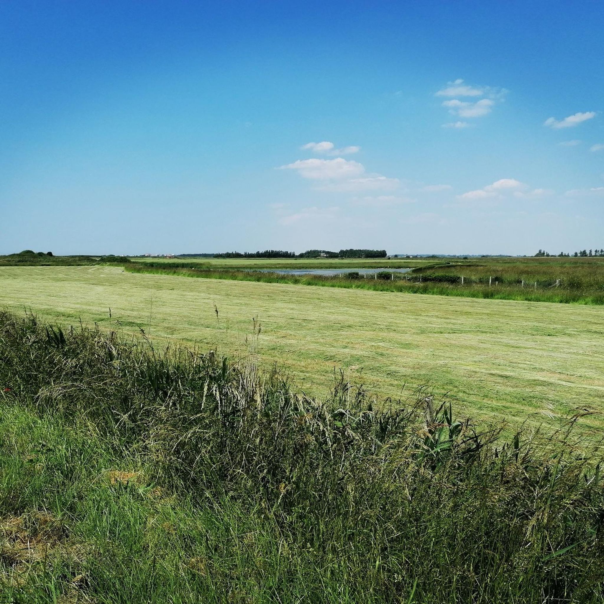
The Hâble d'Ault is a unique natural area near Brutelles, characterized by lowlands isolated from the sea by a bead of pebbles. These pebbles originate from the dismantling of the Pays de Caux cliffs. It's a significant wetland historically shaped for waterfowl hunting, now home to diverse bird species and rare pioneer habitats with plants adapted to the absence of soil, such as sea cabbage.
Are there any historical aspects associated with the natural sites?
Yes, some natural sites have historical significance. For instance, Cape Hornu near Saint-Valery-sur-Somme has a rich history linked to the medieval town, including events like William the Conqueror's departure for England and Joan of Arc's imprisonment. The area also has ancient origins dating back to before the Roman invasion.
What do visitors particularly enjoy about the natural monuments around Brutelles?
Visitors appreciate the dramatic coastal scenery, the unique geological formations of the chalk cliffs, and the rich biodiversity, especially the opportunities for birdwatching and observing seals in the Bay of Somme. The blend of natural beauty and historical context also adds to the appeal.
Most popular routes around Brutelles
Most popular attractions around Brutelles

Get inspired with the komoot mobile app


Explore more
Extend your search for the best caves by checking out these guides of the top ones around Brutelles:
