Top 13 Natural Monuments around Gigors-Et-Lozeron
Best natural monuments around Gigors-Et-Lozeron are found within the Vercors Regional Natural Park, an area known for its diverse landscapes. This region features dramatic cliffs, verdant plateaus, and deep canyons, offering varied natural features. Gigors-Et-Lozeron itself is situated at 600 meters, providing access to these geological formations and scenic viewpoints. The area is characterized by its rich biodiversity and opportunities for outdoor exploration.
Best natural monuments around Gigors-Et-Lozeron
- The most popular natural monument is Druise Waterfall, a waterfall that…
Last updated: July 2, 2026
Druise Waterfall
Highlight • Natural Monument
Translated by Google •
Tip by

The Saracens' Bridge
Highlight • Natural Monument
Translated by Google •
Tip by

Sign up now to discover places like this
Get recommendations on the best single tracks, peaks, & plenty of other exciting outdoor places.
Sign up for free
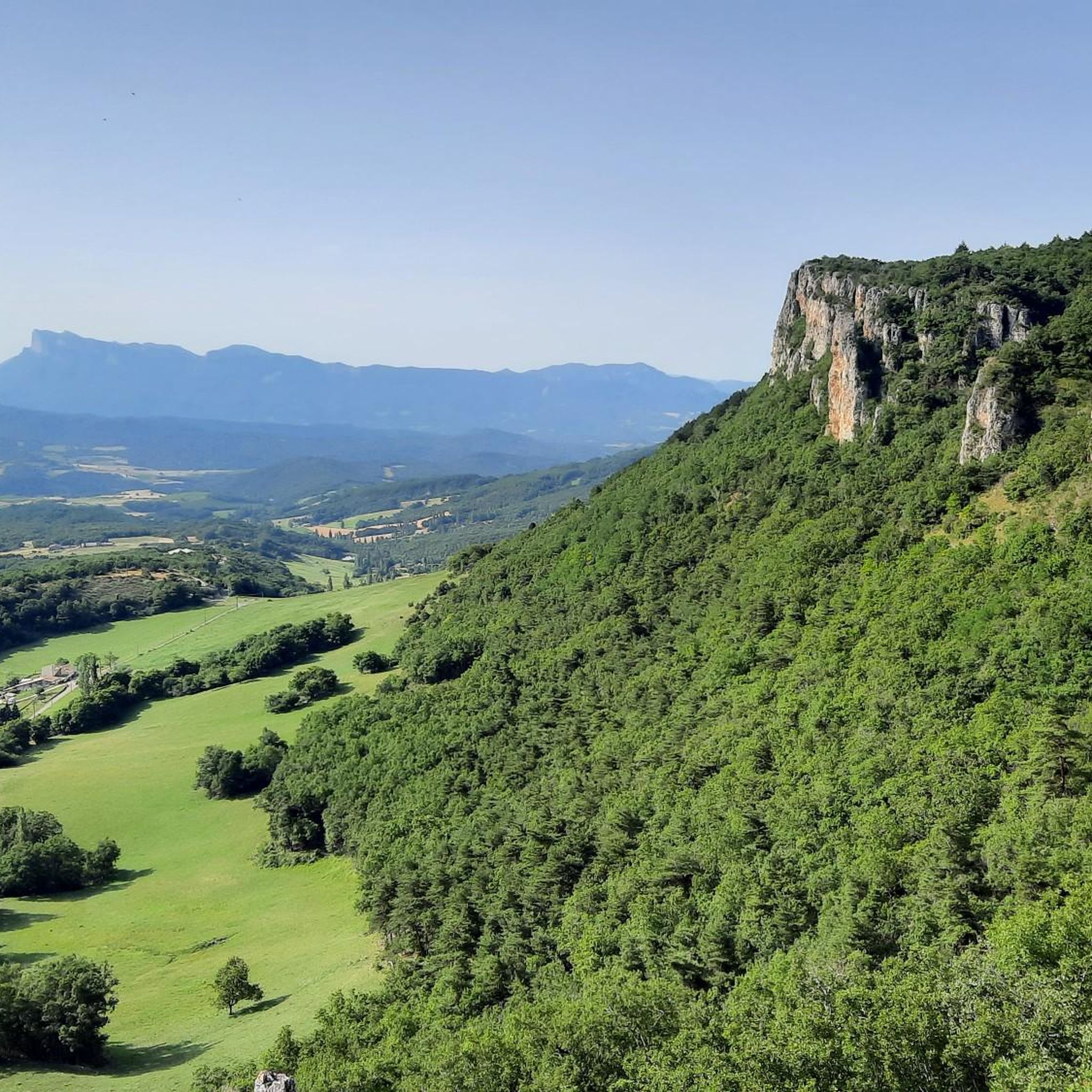
Above the Omblèze gorges
Highlight • Natural Monument
Translated by Google •
Tip by

Tête de la Dame Summit
Highlight • Summit
Translated by Google •
Tip by
South Ascent of Col de la Limouche
Highlight (Segment) • Mountain Pass
starting from Peyrus
Translated by Google •
Tip by

Sign up for free to discover even more natural monuments around Gigors-Et-Lozeron.
Sign up for free
Already have an account?
Start today with a free account
Your next adventure awaits.
Login or Signup

Tips from the Community

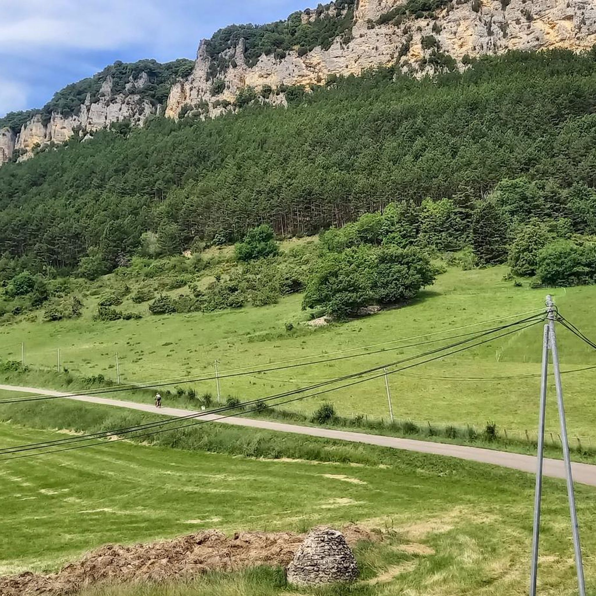
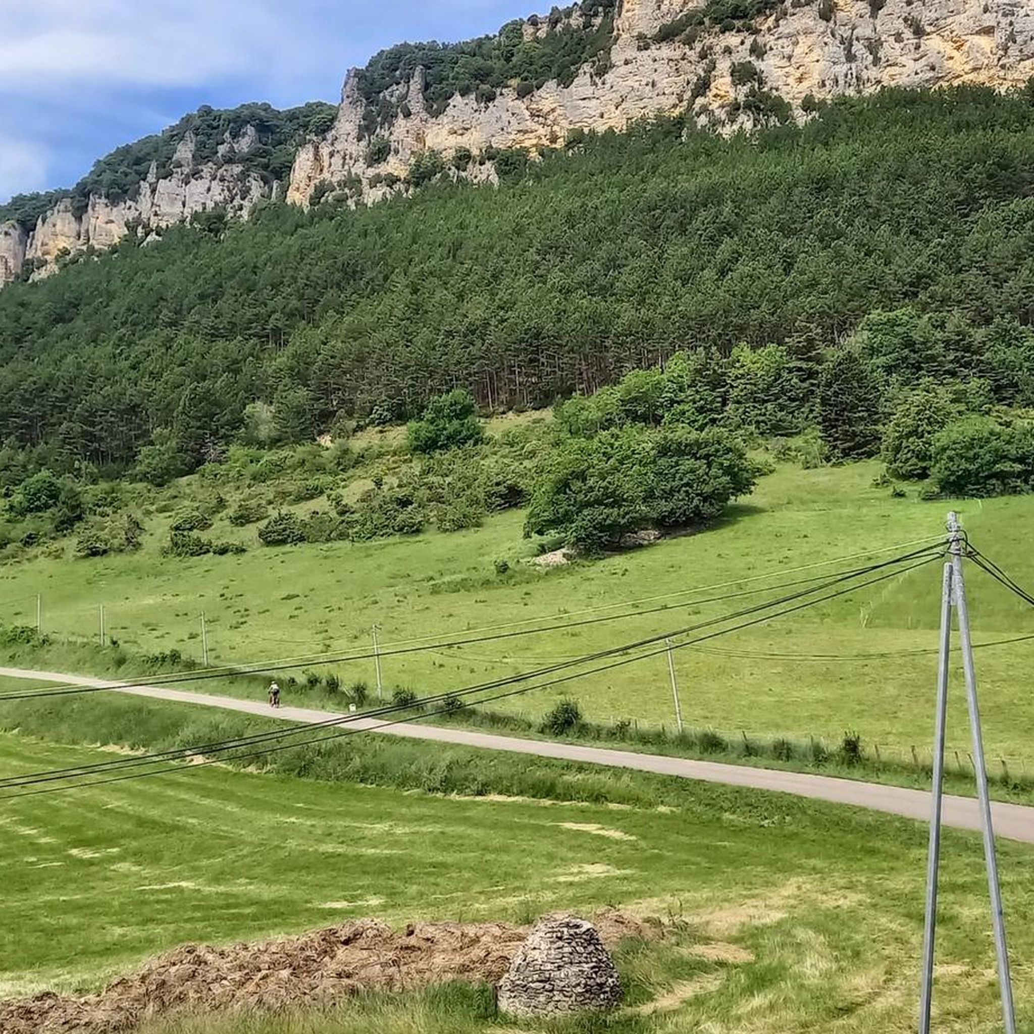
Here is the route for the ascent of the Col des Limouches starting from Peyrus
1
0

Beautiful hike, sunny arrival, last metre steep, but the place is magnificent.
0
0

Good physical condition is necessary given the percentage of the uphill slope
0
0

The Chute de la Druise is a large waterfall on the Gervanne River in the Drôme department in the Auvergne-Rhône-Alpes region. It is located on the border between the municipalities of Omblèze and Plan-de-Baix in the southern Vercors massif, at the mouth of the Omblèze Gorge. With a height of 72 meters, it is one of the most impressive waterfalls in the southern Vercors. The waterfall is accessible after a 30-minute hike along a steep path.
0
0

huge waterfall, ice cold water but it's worth it
1
0

take water shoes with you otherwise you will not get to the waterfall, you have to go through water
2
1

The Cascades de la Druise are a series of spectacular waterfalls located in Vercors, France. Nestled in a preserved natural setting, these waterfalls offer a magnificent landscape and are accessible by a short hike. They attract visitors with their natural beauty and peaceful ambiance, making the Cascades de la Druise a popular place to recharge your batteries and enjoy nature.
1
0

A good pair of shoes and off you go, some slippery and steep places
1
0
Frequently Asked Questions
What are the most popular natural monuments around Gigors-Et-Lozeron?
Visitors frequently enjoy the Druise Waterfall, known for its impressive 72-meter drop and the unique experience of crossing water to reach it. Another favorite is The Saracens' Bridge, a fascinating natural arch with an explorable cave. The Above the Omblèze gorges viewpoint is also highly appreciated for its stunning limestone walls and green plateau.
What types of natural features can I expect to see in the region?
The area around Gigors-Et-Lozeron, nestled within the Vercors Regional Natural Park, offers a diverse range of natural features. You'll encounter dramatic cliffs, verdant plateaus, deep canyons like the Canyon des Gueulards, and impressive waterfalls such as the Druise Waterfall. There are also unique geological formations like The Saracens' Bridge and serene spots like the Ramières Ponds.
Are there family-friendly natural monuments or activities in the area?
Yes, several natural monuments are suitable for families. The Tête de la Dame Summit is considered family-friendly, offering a rewarding view with a relatively low elevation gain. The Ramières Ponds also provide a pleasant environment for families with easy trails through the forest.
Where can I find the best panoramic views of the region?
For breathtaking panoramic views, consider hiking to the heights of Montagne de Lozeron, which offers a sweeping 260° vista of the surrounding landscape. The Falaises du Savel, located above Gigors, also provide some of the most beautiful views, including the Plateau des Chaux, the "Trois Becs," and the Vercors cliffs. The Tête de la Dame Summit is another excellent viewpoint.
What outdoor activities can I do near these natural monuments?
The region is ideal for various outdoor activities. You can explore numerous hiking trails, such as the moderate "Montagne de Lozeron loop from Gigors-et-Lozeron" or the easier "Ruins of Château de Savel loop." For cycling enthusiasts, there are routes like the "Col de Bacchus – Magnificent view loop." You can find more details on these activities and routes in the respective guides: Hiking around Gigors-Et-Lozeron, Running Trails around Gigors-Et-Lozeron, and Cycling around Gigors-Et-Lozeron.
What is the Vercors Regional Natural Park, and how does it relate to Gigors-Et-Lozeron?
Gigors-Et-Lozeron is an integral part of the vast Vercors Regional Natural Park, which spans 206,000 hectares. Classified in 1970 for its exceptional heritage, the park is celebrated for its rich biodiversity, including 1800 plant species and 72 mammal species. It features diverse landscapes from dramatic cliffs and high plateaus to forests and intricate cave systems, offering a preserved environment for exploration.
Are there any unique geological formations to explore?
Absolutely. The region boasts several unique geological features. The Saracens' Bridge is a natural arch that also features an explorable cave. The Canyon des Gueulards, located near the Gorges d'Omblèze, is another gem with its narrow passages and exotic environment. The impressive limestone walls of the Omblèze gorges also offer a spectacular natural formation.
What should I know about visiting the Druise Waterfall?
The Druise Waterfall is a must-see, but be prepared for the approach. Visitors recommend bringing water shoes as you will need to cross the river multiple times to reach the 72-meter high waterfall. It's a very rewarding walk along the Gervanne, culminating in a gorgeous view.
What is the difficulty level of trails around the natural monuments?
The difficulty varies. Some trails, like the approach to the Druise Waterfall or the route to The Saracens' Bridge, can be challenging, involving river crossings or significant climbs. However, there are also intermediate options like the "Montagne de Lozeron loop" and easier paths around the Ramières Ponds or to the Tête de la Dame Summit, making it accessible for various fitness levels.
Are there any specific regulations or permits needed for hiking in the Vercors Regional Natural Park?
The Vercors Regional Natural Park is a protected area. While many trails are freely accessible, some sensitive natural sites, particularly caves and chasms, may require guided access. It's always advisable to check local regulations or visitor centers for specific areas you plan to explore, especially within the "Réserve des Hauts Plateaux," which is the largest nature reserve in mainland France.
What do visitors enjoy most about the natural monuments in this region?
Visitors consistently praise the stunning natural beauty and the sense of adventure. Many highlight the unique experiences, such as navigating the river to reach the Druise Waterfall, exploring the cave at The Saracens' Bridge, and the breathtaking panoramic views from various viewpoints. The diverse landscapes and rich biodiversity of the Vercors Regional Natural Park are also frequently mentioned as major draws.
Is the Montagne de Lozeron accessible for hiking?
Yes, Montagne de Lozeron offers a rewarding hiking experience, particularly from the Plateau des Chaux. A moderate circular hike covers approximately 12.04 km with an altitude change of 450 meters, leading to sweeping 260° panoramic views. You can find more information about this specific hike in the Drôme Tourism guide.
Most popular routes around Gigors-Et-Lozeron
Most popular attractions around Gigors-Et-Lozeron

Get inspired with the komoot mobile app


Explore more
Extend your search for the best caves by checking out these guides of the top ones around Gigors-Et-Lozeron:
