The best walks and hikes around Gigors-Et-Lozeron
4.5
(1368)
8,422
hikers
12
hikes
Hiking around Gigors-Et-Lozeron offers access to the diverse landscapes of the Drôme region, situated near the Vercors Regional Natural Park. The area features varied terrain, including extensive forests, high plateaus, and hills, providing a range of elevation changes. Hikers can explore paths leading through woodlands and open areas, with some routes offering panoramic views over the surrounding valleys and massifs. This region is characterized by its natural features, making it suitable for different hiking preferences.
Best hiking trails around Gigors-Et-Lozeron
…Last updated: July 1, 2026
4.9
(8)
36
hikers
12.7km
03:53
470m
470m
Moderate hike. Good fitness required. Easily-accessible paths. Suitable for all skill levels.
4.9
(7)
33
hikers
10.5km
03:13
380m
380m
Moderate hike. Good fitness required. Easily-accessible paths. Suitable for all skill levels.

Sign up for free
5.0
(6)
59
hikers
13.1km
04:13
530m
530m
Moderate hike. Good fitness required. Easily-accessible paths. Suitable for all skill levels.
7
hikers
15.9km
05:05
640m
650m
Hard hike. Very good fitness required. Easily-accessible paths. Suitable for all skill levels.
4.9
(8)
34
hikers
9.66km
02:54
320m
320m
Moderate hike. Good fitness required. Easily-accessible paths. Suitable for all skill levels.
Get access to more routes and recommendations from other explorers.
Sign up for free
Already have an account?
Our route recommendations are based on thousands of hikes, rides, and runs completed by other people on komoot.
Start today with a free account
Your next adventure awaits.
Login or Signup
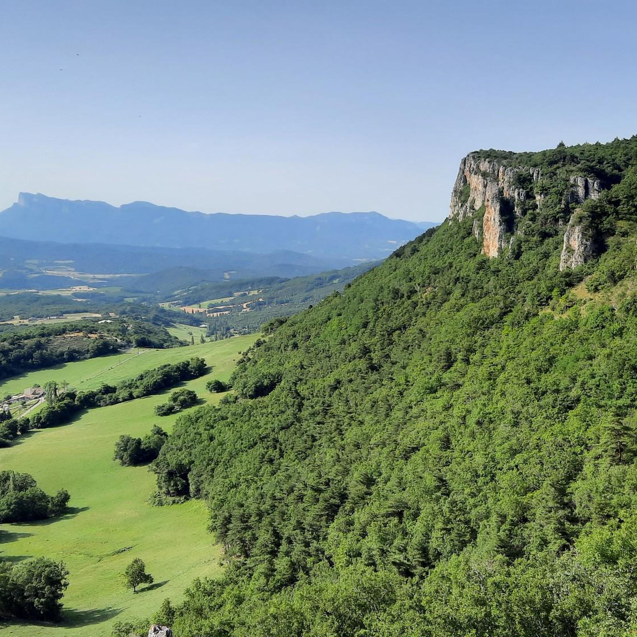
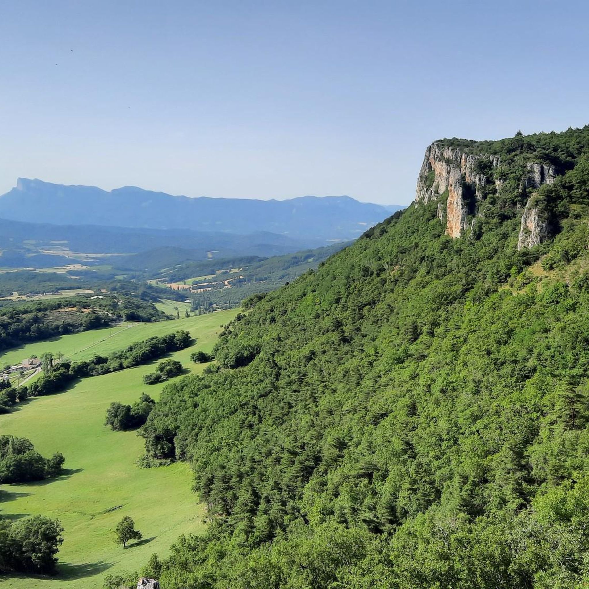
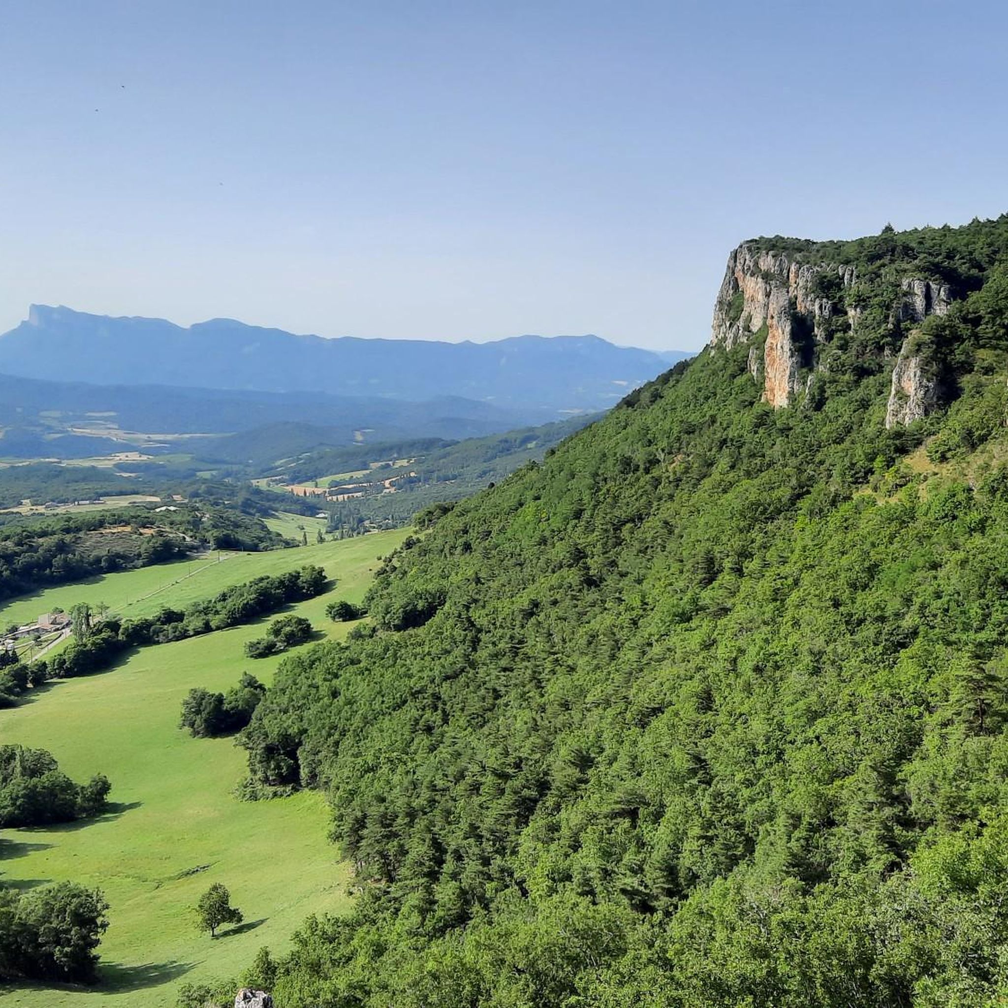
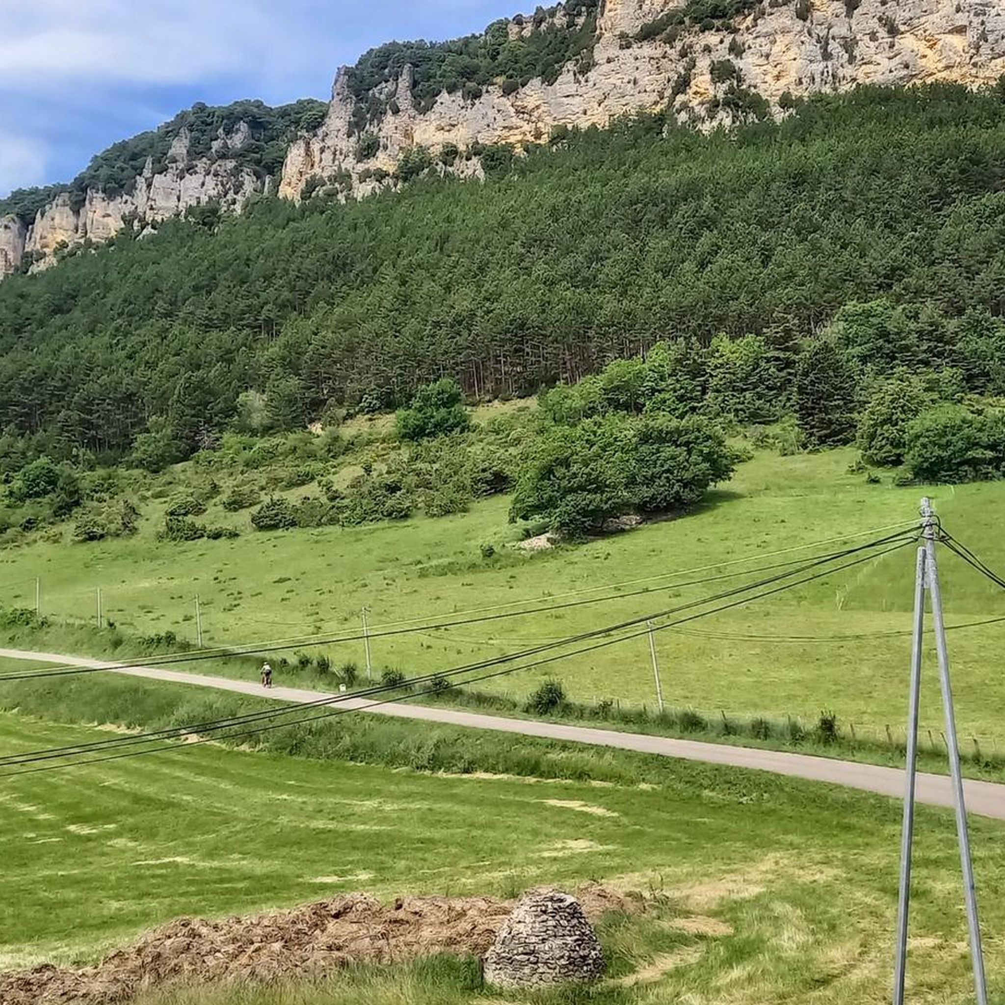

Tips from the Community

The ruins of Savel are the remains of an ancient medieval castle. The walls of Château de Savel housed many noble families documented since 1163. At the end of the 13th century, in 1288, the fortress passed into the possession of the Counts of Valentinois. The construction of a stone wall approximately 1.40 m thick, extending more than 100 m from east to west and enclosing the former high courtyard between the various former towers and the residence, was also completed under the Counts of Valentinois in the 14th century. After the death of Louis II of Poitiers in 1419, the last count of that name, the fortress of Gigors passed into royal possession. The fortress included a castle chapel dedicated to Saint Marcel, which was described as a ruin in 1644. The site contains significant remains of artificial landscaping. The rock was excavated to isolate the tower of a keep to the south, and a lower courtyard was created to the north. Indeed, the château offered a sweeping view of the valleys of the Drôme and its tributaries, the Sye and Gervanne, leading to the Vercors. The importance of this strategic point seems to explain the determination with which the demolition crews used explosives, presumably at the end of the Wars of Religion, to destroy the château and the manor house located west of the fortress.
0
0
The Church of Saint-Pierre in Gigors-et-Lozeron is the church of a priory that had been under the control of the Abbey of Cluny since the 12th century. It consists of a single nave with three bays and a vault restored in the 15th century. The unevenness of the terrain allows for a symbolic progression within the building. From the central nave, a few steps lead to the projecting transept, which opens onto a choir bay and three semicircular apses. Inside and out, the structure, made from small limestone quarry, is uniform and orderly. Tuff is used for the bay windows and upper parts. Built on a hill, the church appears massive from the outside. The north wall is flanked by a square bell tower from the 15th century. The apse of the central apse is supported by two buttresses. Finally, the church had to be connected to the priory's monastic buildings to the south (a blocked door). The cemetery has been archaeologically documented since the 11th century. An 11th-century inscription in the western bay recalls that its foundation was the work of Lord Berengar and his son Irpin. The church is currently being restored.
0
0


Very nicely situated small village.
0
0

Not only a beautiful village but also a view of the syncline of Saou
0
0
A magnificent village in the Drôme valley with a superb view of the Saou syncline.
0
0

Frequently Asked Questions
What kind of terrain can I expect when hiking around Gigors-Et-Lozeron?
The region offers a diverse landscape, from the high plateaus and extensive forests of the nearby Vercors Regional Natural Park to more gentle hills and valleys. You'll find paths winding through woodlands, open agricultural plains, and trails leading to panoramic viewpoints. Some routes, like those near the Gorges d'Omblèze, can feature more rugged, narrow passages.
Are there any easy hiking trails suitable for families in Gigors-Et-Lozeron?
Yes, there are several easy options. For instance, the Ruins of Château de Savel loop from Gigors-et-Lozeron is an easy 3.5 km trail with minimal elevation gain, perfect for a leisurely family walk. The area generally provides a range of difficulties, including 2 easy routes out of 11 total.
What are the best viewpoints or natural features to see on a hike?
Hikers can enjoy breathtaking panoramic views from several spots. The Montagne de Lozeron loop from Gigors-et-Lozeron culminates in a 260° panorama. The summit of La Raye loop from Chauvet offers views of the Rhône Valley and the Vercors Massif. You can also explore nearby gorges like the Canyon des Gueulards or visit the Above the Omblèze gorges.
Can I find circular hiking routes in the area?
Yes, many of the trails around Gigors-Et-Lozeron are designed as loops. Popular circular routes include the Montagne de Lozeron loop from Gigors-et-Lozeron, the summit of La Raye loop from Chauvet, and the Suze - Old Village loop from Gigors-et-Lozeron, offering varied distances and difficulties.
Are dogs allowed on the hiking trails in Gigors-Et-Lozeron?
While many trails in the Drôme region are dog-friendly, specific regulations can vary, especially within the Vercors Regional Natural Park and its Hauts-Plateaux Nature Reserve. It's always advisable to keep dogs on a leash to protect local wildlife and ensure a pleasant experience for all hikers. Check local signage for any specific restrictions.
What is the best time of year to go hiking in Gigors-Et-Lozeron?
The spring and autumn months generally offer the most pleasant hiking conditions with mild temperatures and vibrant scenery. Spring brings blooming wildflowers, while autumn showcases beautiful foliage. Summer can be warm, so early morning or late afternoon hikes are recommended. Winter hiking is possible, especially at lower elevations, but some higher trails may require snowshoes or be inaccessible.
Are there any notable mountain passes or canyons to explore nearby?
Absolutely. The region is home to several significant passes, such as the Jérôme Cavalli Pass and the Col de Bacchus. For canyons, the Canyon des Gueulards is a unique experience, and you can also explore the Barbières Cliffs Road and the Drôme Valley.
What do other hikers enjoy the most about hiking in Gigors-Et-Lozeron?
The area is highly rated by the komoot community, with an average score of 4.5 stars from over 1,200 reviews. Hikers often praise the diverse terrain, the stunning panoramic views from various points, and the peaceful atmosphere of the woodlands. The proximity to the Vercors Regional Natural Park is also a significant draw.
Are there any waterfalls or opportunities for wild swimming on the trails?
While the Drôme river is suitable for bathing, canoeing, and rafting, specific wild swimming spots directly on hiking trails near Gigors-Et-Lozeron are not explicitly highlighted. However, the Chute de la Druise Waterfall is a notable attraction in the vicinity, offering a beautiful natural sight.
How many hiking trails are available around Gigors-Et-Lozeron?
There are 11 hiking trails documented around Gigors-Et-Lozeron, offering a range of difficulties from easy to difficult. This includes 2 easy, 8 moderate, and 1 difficult route, ensuring options for various fitness levels.
Is public transport available to reach the trailheads in Gigors-Et-Lozeron?
Public transport options directly to specific trailheads in Gigors-Et-Lozeron can be limited due to its rural location. It's generally recommended to travel by car to access the starting points of most hikes. Parking facilities are usually available near popular trailheads or in the villages themselves.
Are there any permits required for hiking in the Vercors Regional Natural Park?
Generally, day hiking in the Vercors Regional Natural Park does not require a specific permit. However, if you plan to enter the Vercors Hauts-Plateaux Nature Reserve, which is a strictly protected area, certain activities might have regulations. It's always best to check the official Vercors Regional Natural Park website for the most up-to-date information on specific rules or restrictions, especially for overnight stays or certain activities.
Most popular routes around Gigors-Et-Lozeron
Most popular attractions around Gigors-Et-Lozeron

Get inspired with the komoot mobile app


Explore more
Browse the best Hikes in other regions.
