Top 8 Natural Monuments around Alcantarilla
Best natural monuments around Alcantarilla include diverse geological formations and natural spaces. The region, situated in Murcia, is characterized by its connection to the Segura river basin and its historical water management systems. Natural monuments here range from elevated peaks offering panoramic views to riverine parks and unique geological features. These sites provide opportunities for outdoor activities and appreciation of the local landscape.
Best natural monuments around Alcantarilla
- The most popular natural monuments is El Relojero Peak, a summit that offers panoramic views from 604 meters above sea level. It is the highest point in the Valle y Carrascoy Regional Park.
- Another must-see spot is Base of the Cresta del Gallo, a mountain pass. This paved route has been part of the Cycling Tour of Spain and provides splendid landscapes from its summit.
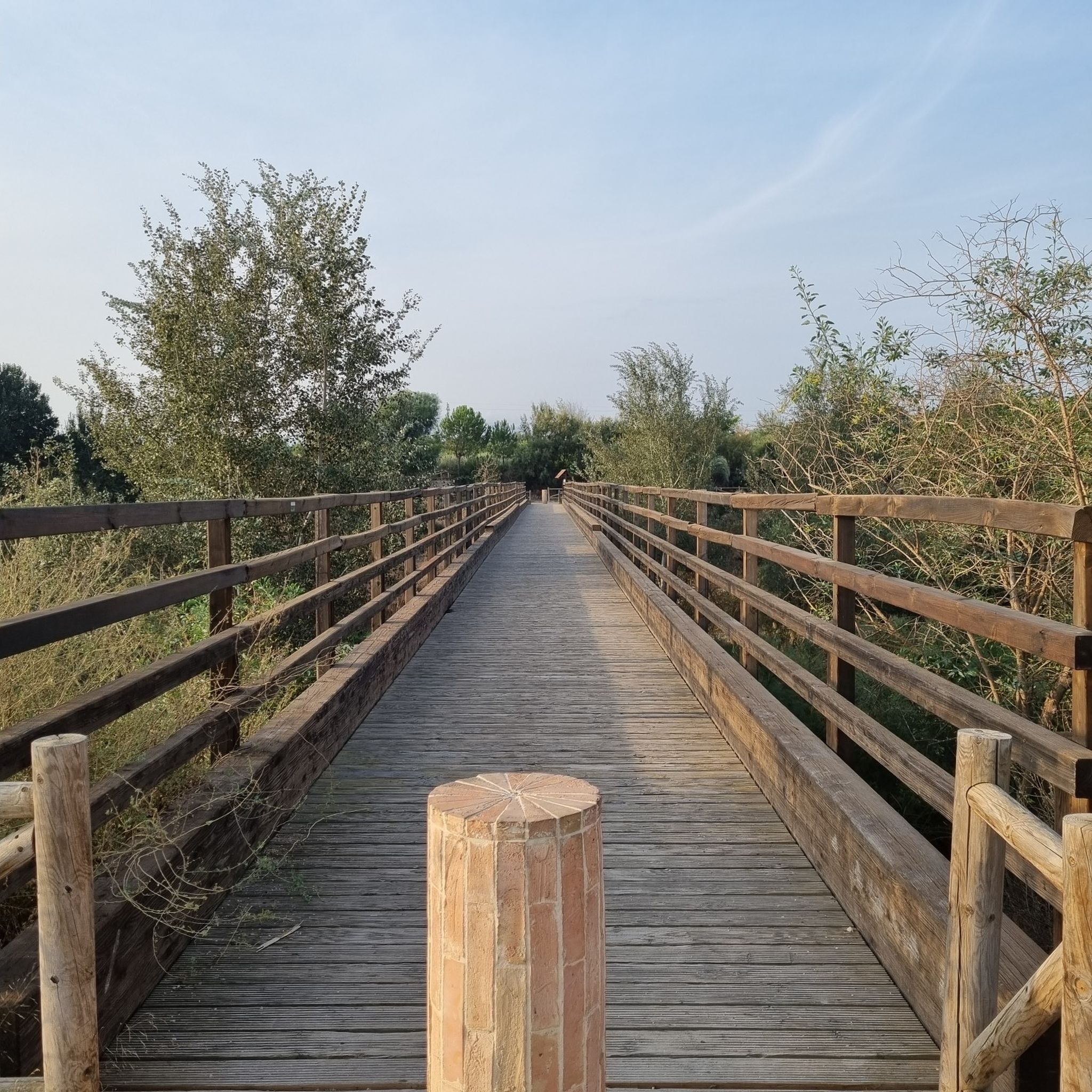
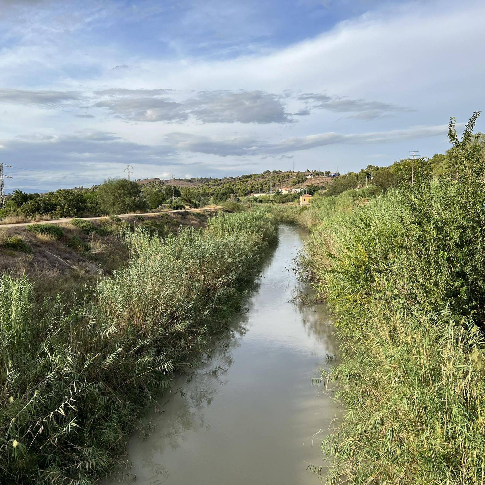
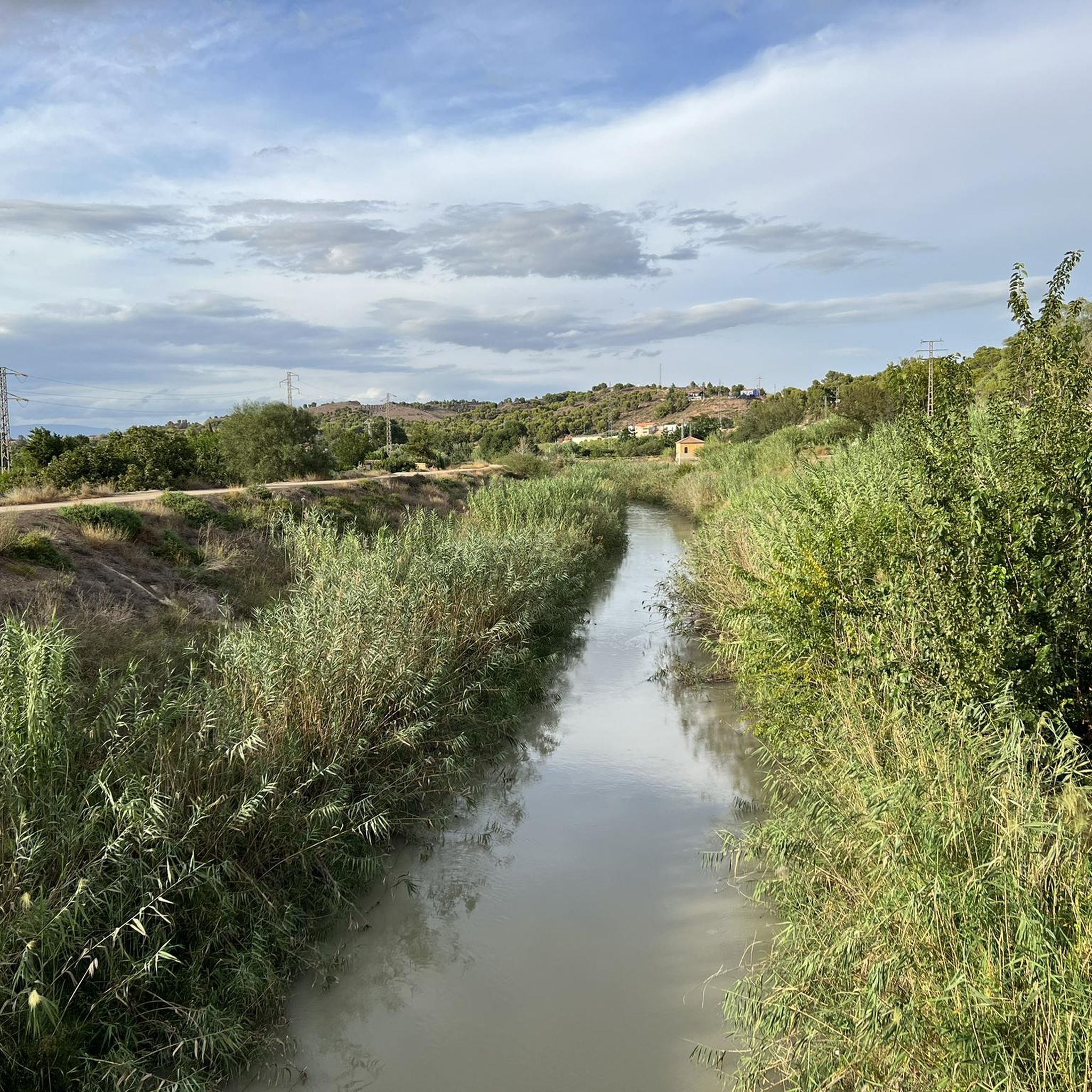
- Visitors also love La Contraparada of the Segura River, a river park. It features a dam, a wooden bridge, and serves as a starting point for hiking and cycling routes along the Segura river.
- Alcantarilla is known for its summits, riverine areas, and mountain passes. The area offers a variety of natural monuments to see and explore, from high-altitude viewpoints to tranquil riverside parks.
- The natural monuments around Alcantarilla are appreciated by the komoot community, with more than 215 upvotes and 81 photos shared by visitors.
Last updated: August 25, 2026
El Relojero Peak
Highlight • Summit
Showing Translation
Tip by

Pico del Águila
Highlight • Summit
Translated by Google •
Tip by
Sign up now to discover places like this
Get recommendations on the best single tracks, peaks, & plenty of other exciting outdoor places.
Sign up for free
La Contraparada of the Segura River
Highlight • River
In the Contraparada you can find a dam, a wooden bridge, the beginning of several hiking and cycling routes and a large grove of trees where you can stop to rest and have a picnic.
Translated by Google •
Tip by

Base of the Cresta del Gallo
Highlight • Mountain Pass
Translated by Google •
Tip by
Vulture Caves
Highlight • Cave
Easy, short and intense route. If you see that it falls short, you can link it with another of the routes in the area.
Translated by Google •
Tip by

Sign up for free to discover even more natural monuments around Alcantarilla.
Sign up for free
Already have an account?
Start today with a free account
Your next adventure awaits.
Login or Signup

Tips from the Community

One step away from Murcia, there is no excuse to go
0
0

This paved port is famous because it has been included in the circuit of the Cycling Tour of Spain on several occasions. It is demanding, but worth the effort. Once at the summit, all that remains is to enjoy the splendid landscape.
1
0
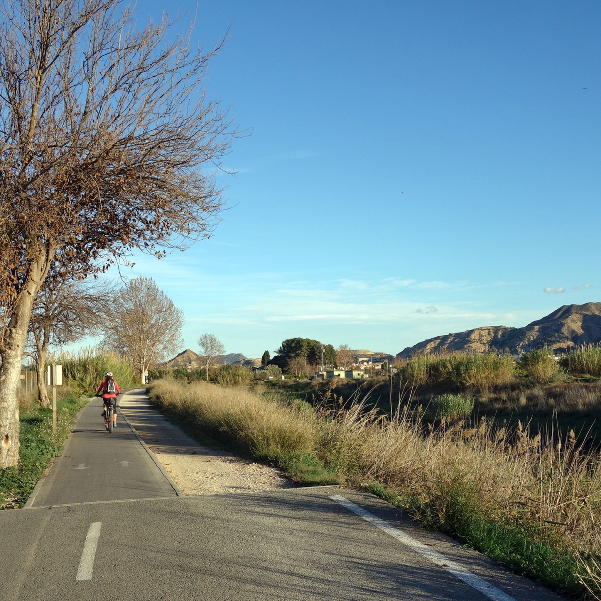
It is a park that is located next to the bike path that runs along the banks of the Segura river. If your direction is towards Murcia, it is the quietest way to get to the city center. In the Contraparada you can find a dam, a wooden bridge, the beginning of several hiking and cycling routes and a large grove of trees where you can stop to rest and have a picnic.
3
0

The highest point in the Valle y Carrascoy Regional Park is the Relojero peak, which rises to a height of 605 meters. The landscapes seen from near the antennas are impressive. Precisely, you can see the gigantic walls of King Kong, as well as the Sierra de Orihuela.
2
1

One of the many peaks within the El Valle and Carrascoy Regional Park. From its 623 meters above sea level you can appreciate very nice views of the entire park. You will have a demanding but picturesque trail going up and you can take one of the variants to descend if you prefer. Depending on the path you choose, there will be more loose stone, so be careful.
2
0
From an altitude of 604 meters, the Relojero summit offers breathtaking panoramic views wherever you look. Getting there can be very entertaining because there are many alternative trails you can take (of greater or lesser difficulty) and thus vary the route.
3
2
From its top, at 623 meters above sea level, the views you will have are simply amazing. You will have a demanding but picturesque trail going up and you can take one of the variants to descend if you prefer. A very nice place to appreciate nature
1
0

The Clockmaker's Peak is very seductive because there are several alternative routes up.
11
0
Frequently Asked Questions
What unique natural landscapes can I explore near Alcantarilla?
Beyond the immediate vicinity, the Barrancos de Gebas offers a striking 'moonscape' or 'badlands' topography, characterized by dramatic gullies and ravines. This protected natural landscape, accessible from Alcantarilla, provides spectacular views and photographic opportunities, especially from the Mirador de Gebas.
Are there any natural monuments within Alcantarilla itself?
Yes, the Paraje del Agua Salá (Saltwater Spring Area) is a local natural spot on the right bank of the Segura river. It features a unique saltwater spring and abundant vegetation, serving as a peaceful recreational area and a 'natural lung' for the town. It's also part of Alcantarilla's 'Ruta del Agua'.
What are some popular natural monuments for panoramic views?
For breathtaking panoramic views, consider El Relojero Peak, which stands at 604 meters above sea level and is the highest point in the Valle y Carrascoy Regional Park. Another excellent option is Pico del Águila, offering amazing vistas from its 623-meter summit within the same park.
Are there family-friendly natural monuments around Alcantarilla?
Absolutely. La Contraparada of the Segura River is a river park that is very family-friendly. It features a dam, a wooden bridge, and large groves perfect for resting or having a picnic. It also serves as a starting point for easy hiking and cycling routes along the river.
What kind of cycling routes can I find near these natural monuments?
The area around Alcantarilla offers diverse cycling opportunities. You can find road cycling routes, such as the 'Tour of Barrancos de Gebas from Alcantarilla', or gravel biking options like the 'Murcia Río Riverside Walk – Banks of the Segura River loop'. For more options, explore the Road Cycling Routes around Alcantarilla, Gravel biking around Alcantarilla, and Cycling around Alcantarilla guides.
Are there any challenging trails for experienced hikers?
Yes, for those seeking a challenge, the ascent to Pico del Águila offers a demanding but picturesque trail. Similarly, reaching the Base of the Cresta del Gallo, a mountain pass famous from the Cycling Tour of Spain, is demanding but rewards with splendid landscapes from its summit.
What should I wear when visiting natural monuments with trails like Vulture Caves?
When visiting sites like Vulture Caves, it's advisable to wear shoes that provide good grip, especially since the ground can be very dry and slippery on slopes. A walking cane can also be helpful for stability on these trails.
What do visitors enjoy most about the natural monuments near Alcantarilla?
Visitors frequently praise the impressive panoramic views from summits like El Relojero Peak and Pico del Águila. The tranquility and recreational opportunities at riverine parks such as La Contraparada of the Segura River are also highly appreciated, along with the unique geological formations of the Barrancos de Gebas.
Can I find natural monuments that are part of historical routes?
Yes, the Paraje del Agua Salá in Alcantarilla is part of the town's 'Ruta del Agua' (Water Route), which highlights the historical water management systems and the profound connection between the community and the Segura river.
Are there any natural monuments known for their geological significance?
The Barrancos de Gebas is highly recognized for its geological and geomorphological value. Its distinctive 'moonscape' topography, formed by the erosion of clay and marl, makes it one of the finest examples of badlands in the Region of Murcia.
What kind of wildlife can I expect to see in these natural areas?
While specific wildlife sightings vary, areas like the Barrancos de Gebas, despite their harsh appearance, support fascinating flora and fauna adapted to extreme conditions, including various moths, butterflies, and birds. The riverine areas, such as La Contraparada of the Segura River, also provide habitats for local bird species and aquatic life.
Most popular routes around Alcantarilla
Most popular attractions around Alcantarilla

Get inspired with the komoot mobile app


Explore more
Extend your search for the best caves by checking out these guides of the top ones around Alcantarilla:
