Top 6 Mountain Passes around La Taha
Best mountain passes around La Taha are found in the picturesque Alpujarras region of Granada, Spain. This area is characterized by elevated routes, scenic mountain roads, and ancient footpaths connecting charming white villages. These routes wind through the southern slopes of the Sierra Nevada, offering views of terraced agricultural landscapes and traditional Alpujarran life. Villages are situated at altitudes ranging from approximately 950 meters to 1,400 meters, with the municipality's highest point reaching 2,400 meters.
Best mountain passes around La…
Last updated: October 18, 2026
Haza del Lino Pass and Restaurant
Highlight • Mountain Pass
Translated by Google •
Tip by

Sierra Nevada
Highlight • Summit
The city center of …
Tip by

Sign up now to discover places like this
Get recommendations on the best single tracks, peaks, & plenty of other exciting outdoor places.
Mountain Road Between Pampaneira and Pitres
Highlight (Segment) • Mountain Pass
Translated by Google •
Tip by

Portillo de Río Seco
Highlight • Mountain Pass
Translated by Google •
Tip by

Nieles Switchbacks
Highlight • Mountain Pass
Translated by Google •
Tip by

Start today with a free account
Your next adventure awaits.
Popular around La Taha
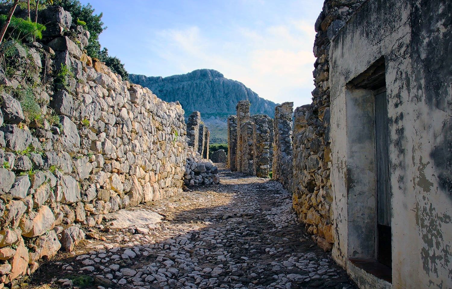
Lanjarón to Trevélez – five days in the Alpujarra of Granada
Andalusia without limits – Tarifa to La Puebla de Don Fabrique on the GR 7
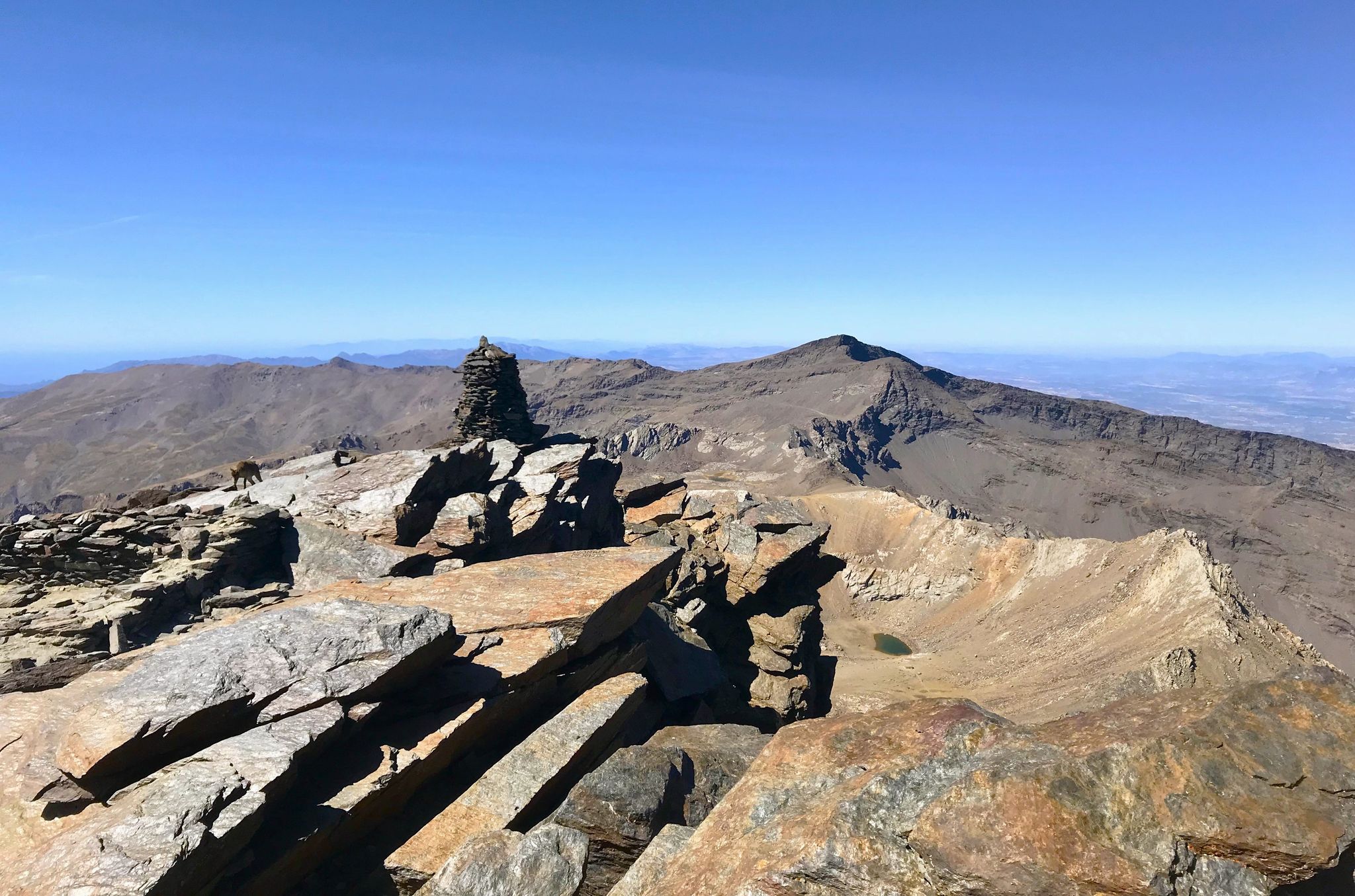
A night under the roof of the Iberian Peninsula – Mulhacén ascent
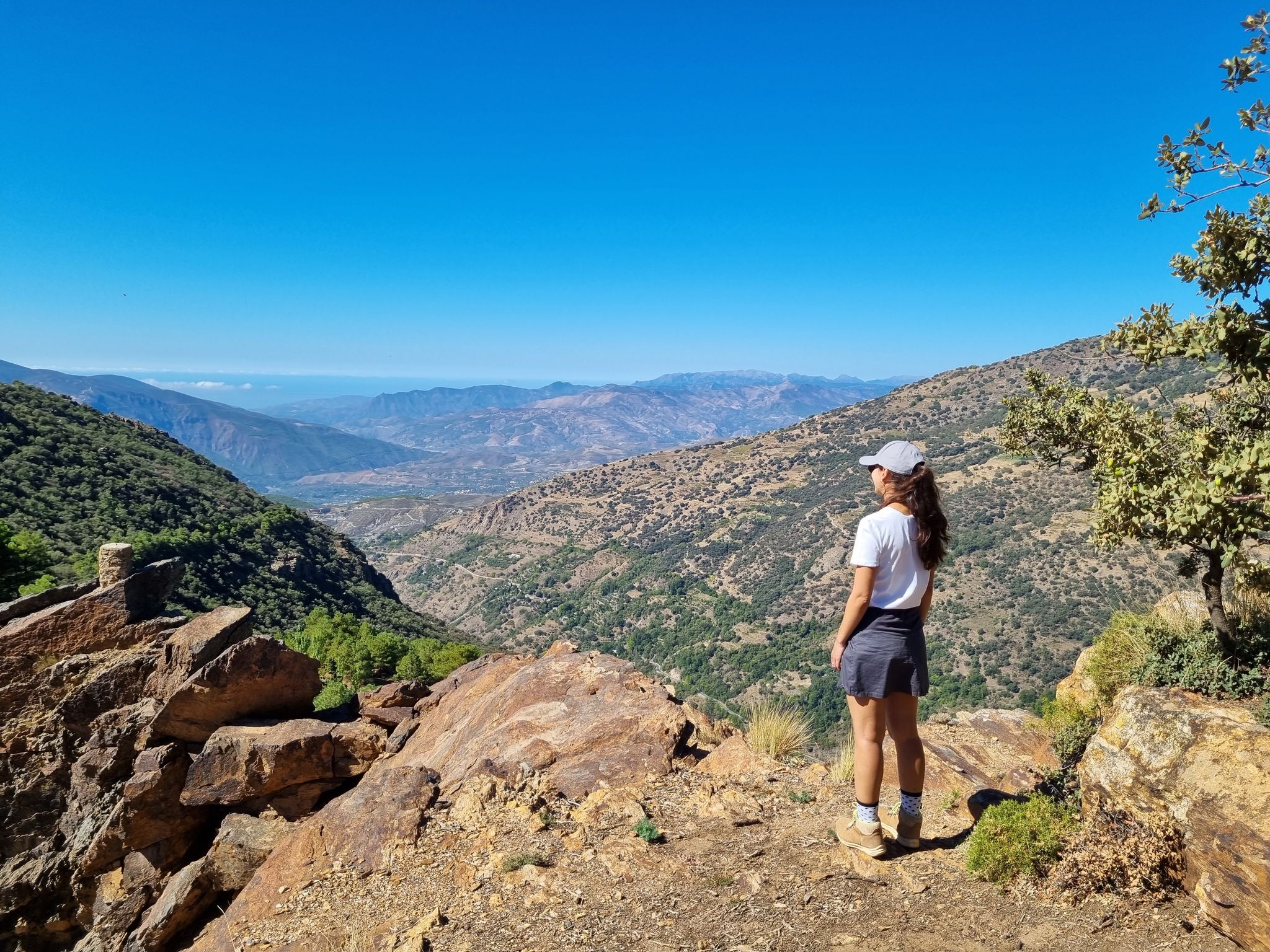
Hiking around La Taha
MTB Trails around La Taha
Road Cycling Routes around La Taha
Running Trails around La Taha
Cycling around La Taha

Mountain Hikes around La Taha
Other adventures around La Taha


Tips from the Community

A great place to relax. You can take homemade wine and a piece of cake. You can also go higher!
0
0

Quiet, scenic mountain road.
0
0

Nice descent from Trevelez 😎
0
0

Between Veleta and Mulhacén peaks, at 3040 meters, there is a very special corner in this area of the Sierra Nevada. This is the Río Seco glacial cirque, a complex of lagoons that dries up in summer but that you can observe during the rest of the year.
0
0

Mostly good asphalt (2023), little traffic and a great, impressive landscape. We recommend.
0
0

This is a point of completion of Puerto a cima known by cyclists, it is a climb from level 0 to level 1200 m above sea level, a good place to end the route and be able to enjoy a good breakfast at the Haza del restaurant lino or some good beers with its good tapas of poor potatoes with offal or chicken, this place was well known in the past because here during the nights the temperature drops a lot and even in summer because of the heights and here after a slaughter of some pig would bring the pieces for later salting and curing of the pieces to obtain a good ham.
1
0

Road that descends from Juviles to Nieles. It used to be an unpaved road but nowadays it is paved. A winding road with impressive views of the Cordel del Hazadel Hinojar valley.
0
0

Sierra Nevada is the highest mountain range in western Europe after the Alps, with incredible Cols and landscapes to ride and the Europe's southernmost Sky resort. The city center of Granada is just at 45km from the top of Pico Veleta (3.394m), considered one of the longest, hardest and most challenging climbs in the world, completely cyclable by this North side through the highest paved road in Europe. The South climb to Pico Veleta starts from the village of Capileira, located at La Alpujarra. This off-road climb, without technical difficulties beyond the elevation and the mountain weather, includes some small shelters over 3.000m height (La Caldera, Villavientos and La Carihuela), although due to the snowfields the route is only cyclable in summer.
1
1
Frequently Asked Questions
What types of elevated routes can I explore in La Taha?
La Taha is known for its captivating network of elevated routes, scenic mountain roads, and ancient footpaths rather than traditional high-altitude mountain passes. These include well-marked medieval footpaths connecting charming white villages like Pitres, Capilerilla, Mecina, and Fondales, as well as winding scenic drives that offer stunning vistas of the Sierra Nevada foothills.
Which mountain passes or routes offer the best views in La Taha?
For breathtaking panoramic views, consider the roads leading to villages like Capilerilla, which is situated at an impressive 1,380m above sea level. The Mountain Road Between Pampaneira and Pitres also offers an impressive landscape. For a more challenging experience with high-altitude views, the Sierra Nevada summit provides incredible vistas, including the Río Seco glacial cirque from Portillo de Río Seco.
Are there any historical mountain passes or sites in La Taha?
Yes, the region is rich in history. The ancient footpaths connecting the villages are medieval routes historically used by locals for centuries. Additionally, Puerto de Pitres is specifically noted as a historical site, offering insights into the region's past within a settlement.
What is the best time of year to visit the mountain routes in La Taha?
The routes in La Taha are generally best explored during spring and autumn when the weather is mild and comfortable for walking and cycling. Summer can be very hot, especially at lower altitudes, while winter may bring snow to higher elevations, making some routes challenging or inaccessible, particularly in the broader Sierra Nevada area.
Are there family-friendly routes or passes in La Taha?
Yes, many of the village-connecting footpaths are suitable for families, offering a peaceful immersion in nature and culture. The Haza del Lino Pass and Restaurant is also categorized as family-friendly, providing a good spot to relax and enjoy the surroundings.
What outdoor activities can I do near these mountain passes?
La Taha is an excellent base for various outdoor activities. You can enjoy extensive hiking on trails like the circular route connecting Pitres, Mecina, Ferreirola, and Atalbéitar, or explore longer routes like the GR 7. Cycling is also popular, with options ranging from scenic road cycling to challenging gravel routes. For more details on routes, check out the Hiking around La Taha, Cycling around La Taha, and Road Cycling Routes around La Taha guides.
How difficult are the mountain routes in La Taha?
The difficulty varies. Many of the village-connecting footpaths are moderate, offering accessible walks. However, routes extending into the broader Sierra Nevada, such as those near the Sierra Nevada summit or Portillo de Río Seco, can be challenging due to significant elevation gains and mountainous terrain. Always check specific route details before heading out.
Are there places to eat or drink near the mountain routes?
Yes, the charming white villages along the routes offer various amenities. For example, the Haza del Lino Pass and Restaurant is a known spot for a café and bocadillos, and even homemade wine. Many villages will have local cafes and pubs where you can refuel.
What natural features can I expect to see along the routes?
You'll encounter diverse natural beauty, from shaded groves of ancient chestnut trees to open areas with panoramic vistas of valleys and mountains. Look out for natural springs like the Fuente Gaseosa, known for its naturally carbonated water. Higher up, especially near the Sierra Nevada, you might see glacial cirques and high-altitude lakes, such as the Río Seco glacial cirque near Portillo de Río Seco.
What do visitors enjoy most about exploring La Taha's elevated routes?
Visitors particularly appreciate the peaceful immersion in nature and culture, stepping back in time as they traverse ancient pathways. The stunning panoramic views, the unique character of each white village, and the opportunity to discover traditional Alpujarran life are frequently highlighted. Cyclists often praise the good asphalt and impressive landscapes of routes like the Mountain Road Between Pampaneira and Pitres.
Are there any circular walks available in La Taha?
Yes, there are several circular walks. A popular one from Pitres connects Mecina, Mecinilla, Fondales, Ferreirola, and Atalbéitar, taking approximately 3-4 hours to complete. You can find more detailed circular routes, such as the 'La Alpujarra – circular between Pitres, Mecina, Ferreirola and Atalbéitar' in the Hiking around La Taha guide.
Is public transport available to access the mountain routes in La Taha?
While specific public transport details for accessing individual trailheads might vary, the villages within La Taha are generally connected by local bus services, which can help you reach starting points for many routes. However, for ultimate flexibility, exploring by car allows easier access to different villages and numerous viewpoints along the scenic drives.
Most popular routes around La Taha
Most popular attractions around La Taha

Get inspired with the komoot mobile app


Explore more
See even more epic mountain passes by checking out these guides around La Taha:
