The best road cycling routes around La Taha
5.0
(26)
1,826
riders
32
rides
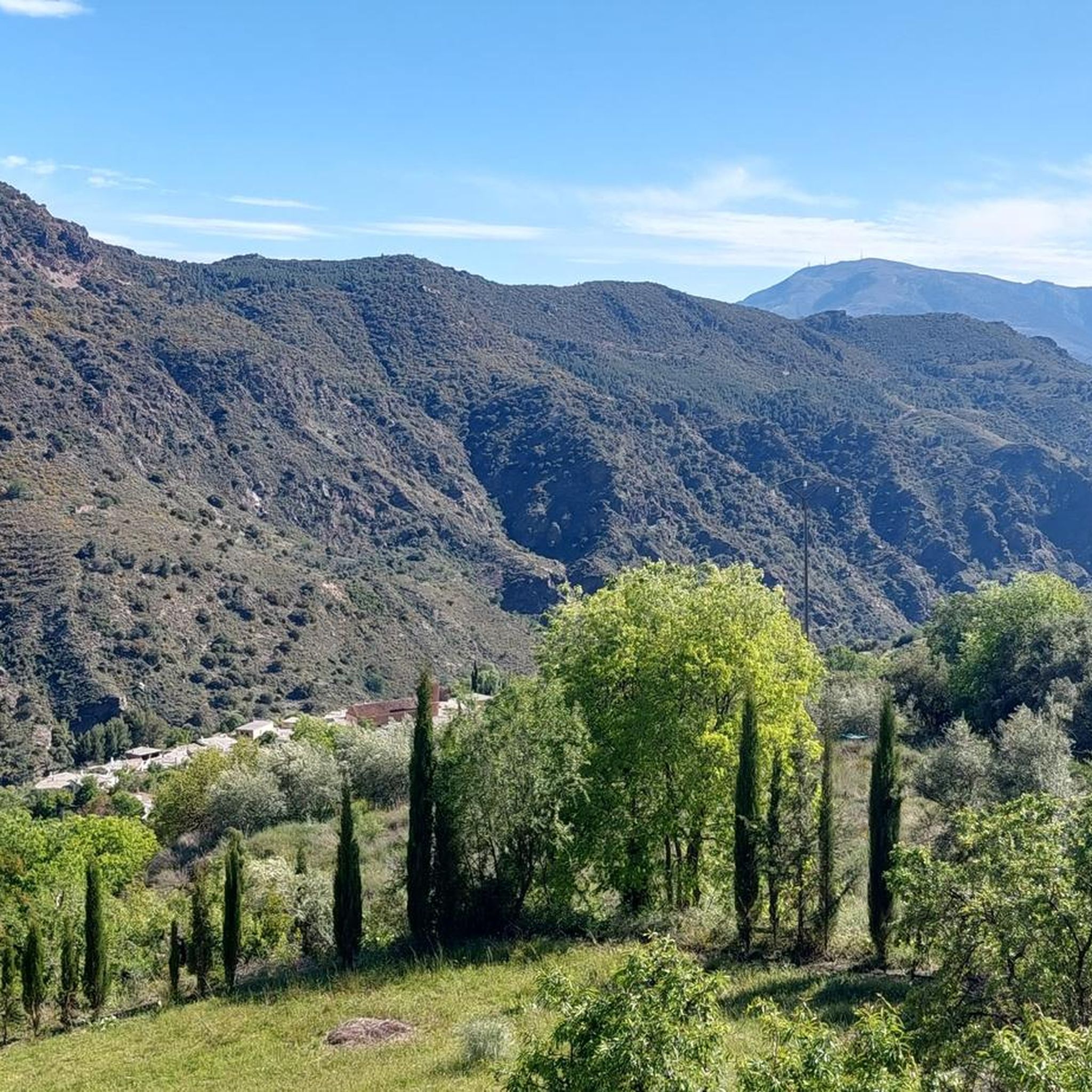
Road cycling routes around La Taha traverse the mountainous terrain of the Alpujarras region, characterized by winding roads, significant elevation changes, and views of valleys and traditional white villages. The area offers challenging climbs and descents, making it suitable for experienced road cyclists. The landscape features a mix of cultivated terraces, olive groves, and more rugged, arid sections.
Best road cycling routes around La Taha
- The most popular road cycling route is Trevélez and Cáñar Alpujarras Loop, a 53.7…
Last updated: October 22, 2026
5.0
(3)
493
riders
86.4km
05:16
2,300m
2,300m
Hard road ride. Very good fitness required. Mostly well-paved surfaces and easy to ride.
18
riders
59.0km
03:47
1,650m
1,650m
Hard road ride. Very good fitness required. Mostly well-paved surfaces and easy to ride.

197
riders
121km
07:03
2,950m
2,950m
Hard road ride. Very good fitness required. Some segments of this route may be unpaved and difficult to ride.
47
riders
98.7km
05:32
2,140m
2,140m
Hard road ride. Very good fitness required. Mostly well-paved surfaces and easy to ride.
5.0
(5)
92
riders
51.2km
03:14
1,460m
1,460m
Hard road ride. Very good fitness required. Mostly well-paved surfaces and easy to ride.
Get access to more routes and recommendations from other explorers.
Already have an account?
Our route recommendations are based on thousands of hikes, rides, and runs completed by other people on komoot.
Start today with a free account
Your next adventure awaits.
Popular around La Taha
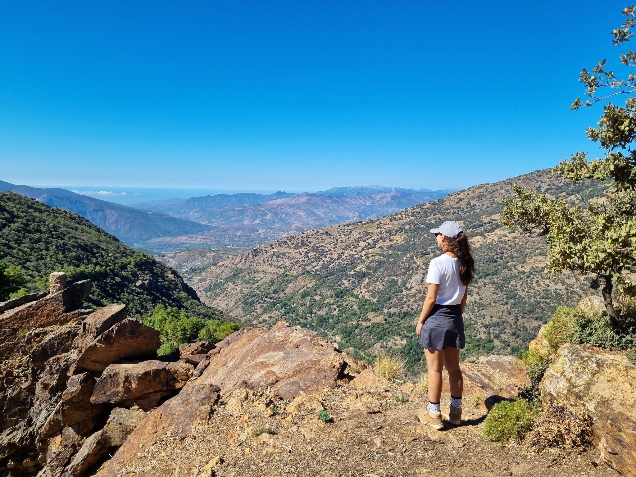
Lanjarón to Trevélez – five days in the Alpujarra of Granada

Andalusia without limits – Tarifa to La Puebla de Don Fabrique on the GR 7
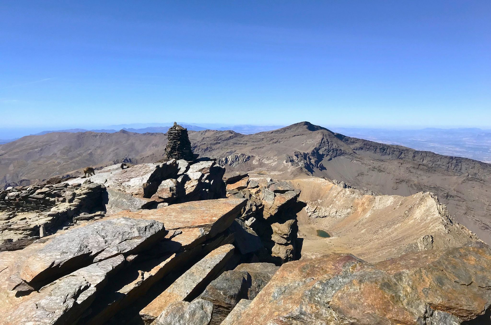
A night under the roof of the Iberian Peninsula – Mulhacén ascent
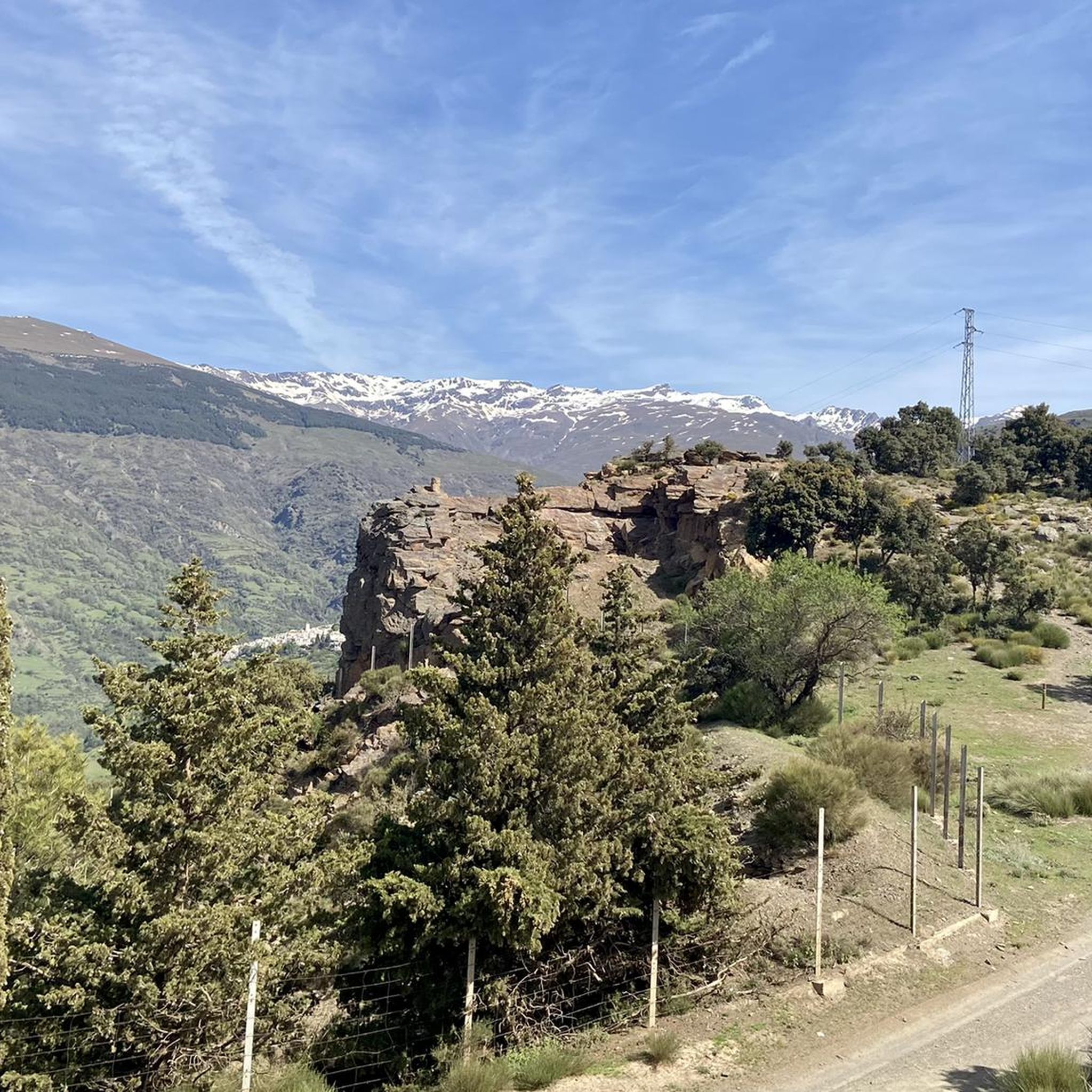
Hiking around La Taha
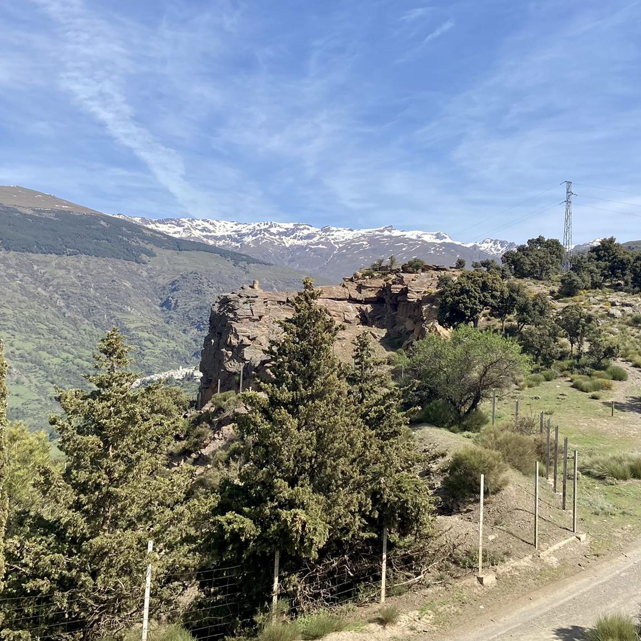
MTB Trails around La Taha
Running Trails around La Taha
Cycling around La Taha

Mountain Hikes around La Taha
Other adventures around La Taha


Tips from the Community

The road that connects Carataunas with Pampaneira, in the Alpujarra Granadina, crosses one of the most representative landscapes of the southern slopes of Sierra Nevada. From numerous points along the route, you can enjoy panoramic views of deep ravines, traditional farming terraces, and white villages staggered on the mountain. Take the opportunity to visit Pampaneira, it is worth it.
3
0
The waters of the Presa de Rules reservoir meander through the mountains of Granada's Costa Tropical, forming an impressive landscape where the blue of the reservoir contrasts with the steep slopes and Mediterranean vegetation. A magnificent natural viewpoint between the Alpujarra and the sea.
3
0

Órgiva is a charming Spanish municipality located in the province of Granada, in Andalusia, and is historically considered the capital and administrative center of the western Alpujarra. This town of about 6,000 inhabitants stands at an altitude of 450 meters in the fertile valley of the Guadalfeo River, right at the foot of the Sierra Nevada Natural Park.
0
1
The municipality of Órgiva is part of the Sierra Nevada Natural Park and is located on its southern slopes. Known as the capital of the Alpujarra region of Granada, it is an ideal destination for combining culture, nature, and gastronomy.
11
0
What to see in Pampaneira Liberty Square The town's central hub, with bars, craft shops, and the tourist office. Church of the Holy Cross Built in the Mudéjar style in the 16th century on the site of a former mosque. Fountain of Saint Anthony ("La Chumpaneira") Famous for its legend: whoever drinks from it will find a partner. It's located next to the church. Traditional streets Such as Silence Street or Veronica Street, with Berber architecture, covered walkways, and terraced roofs. Chocolate Factory A delightful place to visit and buy handcrafted products.
6
0
Pampaneira, located in the heart of the Alpujarra region of Granada, is one of the most beautiful villages in Spain. Surrounded by the Poqueira Gorge and next to Bubión and Capileira, it offers a unique experience of traditional architecture, nature, crafts, and gastronomy.
6
0

The Rules Reservoir Dam is an impressive hydraulic structure located in the Alpujarras of Granada, which retains the waters of the Guadalfeo River. Surrounded by a mountain landscape, it offers spectacular views where the water merges with the natural surroundings.
1
0
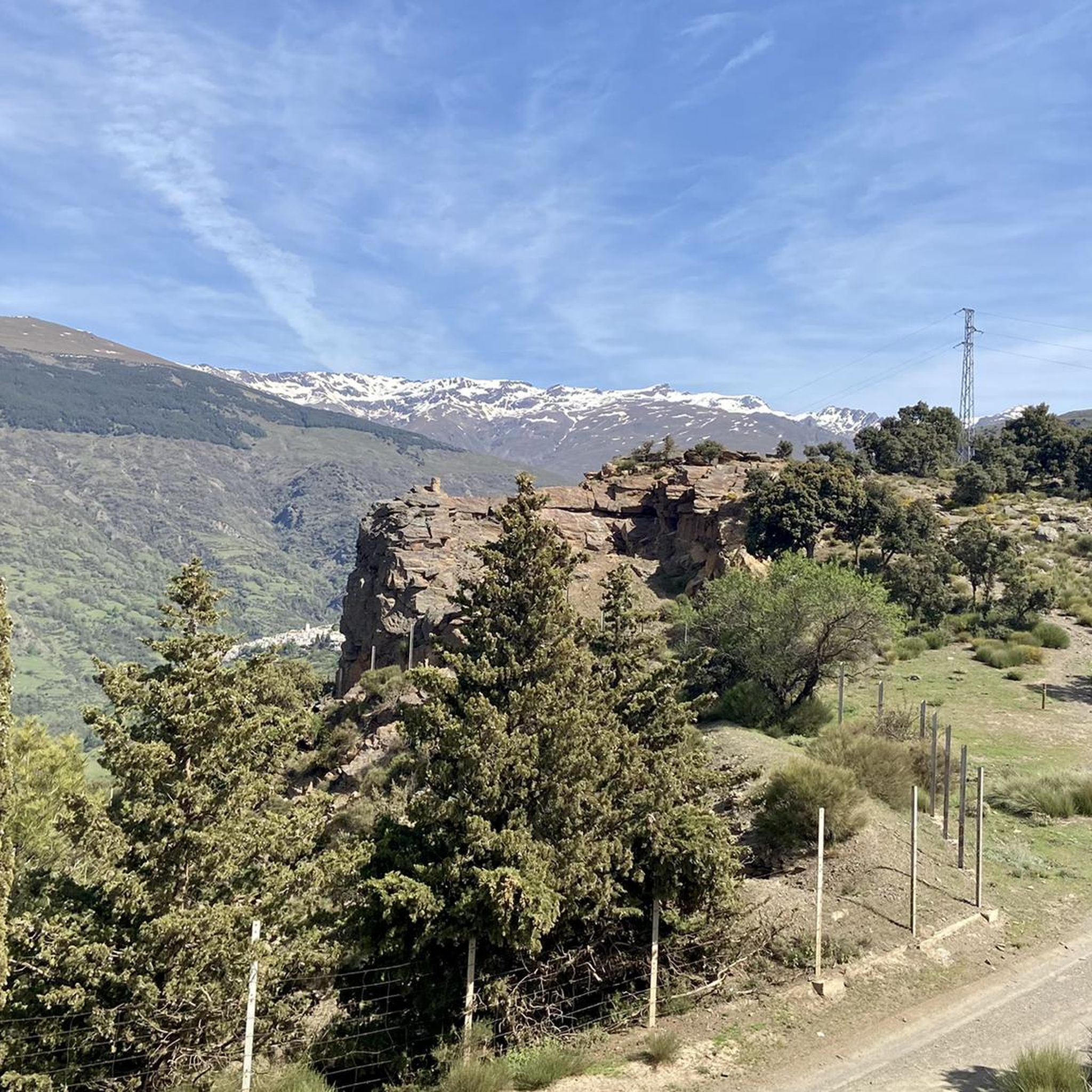
The view of the Sierra Nevada Mountains is breathtaking, with their soaring peaks dominating the horizon. On clear days, the contrast between their slopes and the sky creates a majestic and powerful landscape.
1
0
Frequently Asked Questions
Are there any easy road cycling routes in La Taha for beginners?
La Taha's road cycling routes are primarily designed for experienced cyclists due to the mountainous terrain, challenging climbs, and significant elevation changes. There are no easy routes, with options ranging from moderate to difficult.
What are the typical distances for road cycling routes in La Taha?
The routes in La Taha vary in length, often covering substantial distances. For instance, the Nazari Bridge of Tablate – Views of the Rules Dam loop from Torvizcón is over 113 km, while the Trevélez and Cáñar Alpujarras Loop is around 86 km. Many routes are designed for longer, more challenging rides.
What kind of terrain can I expect on road cycling routes in La Taha?
You can expect mountainous terrain with winding roads, significant elevation changes, and a mix of cultivated terraces, olive groves, and more rugged, arid sections. The routes offer challenging climbs and descents, characteristic of the Alpujarras region.
Are there any circular road cycling routes in La Taha?
Yes, many of the road cycling routes in La Taha are loops, allowing you to start and finish in the same location. Examples include the White Villages of the Alpujarra Loop from Torvizcón and the View of Lanjarón – View of the Alpujarras Valleys loop from Capileira.
What are some notable viewpoints along the road cycling routes in La Taha?
The routes offer panoramic views of valleys, traditional white villages, and the surrounding mountainous landscape. Specific routes like the Climb to Cáñar – View of the Alpujarras Valleys loop from La Taha are known for their scenic vistas of the Alpujarras.
What can I see along the road cycling routes in La Taha?
Beyond the stunning natural landscapes, you can encounter traditional white villages such as Capileira Village, Bubión Village, and Trevélez village. Some routes also pass by historical points of interest like the Nazari Bridge of Tablate.
What do other road cyclists enjoy most about cycling in La Taha?
The road cycling routes in La Taha are highly rated by the komoot community, with an average score of 4.96 stars from over 50 reviews. Cyclists often praise the challenging mountain passes, the beauty of the traditional village landscapes, and the panoramic valley views.
Are there any attractions or landmarks near the road cycling routes in La Taha?
Yes, the region is rich in natural and cultural landmarks. You can find highlights such as the Mulhacén Summit, various lakes like Hondera Lagoon, and the scenic Portillo de Río Seco mountain pass.
How many road cycling routes are available in La Taha?
There are over 30 road cycling routes available in La Taha, offering a variety of challenging options for experienced cyclists to explore the mountainous terrain of the Alpujarras.
Is La Taha suitable for family-friendly road cycling?
Given the challenging nature of the terrain, with significant elevation gains and difficult sections, La Taha's road cycling routes are generally not considered suitable for family-friendly rides or beginners. They are best suited for experienced road cyclists.
What is the best time of year for road cycling in La Taha?
While not explicitly stated, the mountainous nature of La Taha suggests that spring and autumn would likely offer the most pleasant conditions for road cycling, avoiding the extreme heat of summer and potential snow or ice in winter at higher elevations. Always check local weather conditions before your ride.
Are there any cafes or places to stop for refreshments along the routes?
Many routes pass through or near traditional white villages like Capileira, Bubión, and Trevélez. These villages typically offer local cafes and restaurants where you can stop for refreshments and experience local culture.
Most popular attractions around La Taha

Get inspired with the komoot mobile app


Explore more
Browse the best Road cycling routes in other regions.
