Top 20 Natural Monuments around Villaluenga Del Rosario
Best natural monuments around Villaluenga Del Rosario are situated within the Sierra de Grazalema Natural Park, an area rich in karstic formations. This region is characterized by its limestone rock, which has been sculpted into diverse natural features. The Sima de Villaluenga, a significant sinkhole reaching a depth of 237 meters, is a principal reference point in the local speleological landscape. The area offers a range of natural attractions for exploration.
Best natural monuments around Villaluenga Del Rosario
- The most…
Last updated: July 15, 2026
Presillas Pass
Highlight • Mountain Pass
Translated by Google •
Tip by

Cat Cave
Highlight • Cave
Showing Translation
Tip by

Sign up now to discover places like this
Get recommendations on the best single tracks, peaks, & plenty of other exciting outdoor places.
Sign up for free
Ruins of the Majaceite River Water Mill
Highlight • Monument
Translated by Google •
Tip by

El Torreón Peak
Highlight • Summit
Translated by Google •
Tip by
Simancón Peak
Highlight • Summit
Translated by Google •
Tip by
Sign up for free to discover even more natural monuments around Villaluenga Del Rosario.
Sign up for free
Already have an account?
Start today with a free account
Your next adventure awaits.
Login or Signup
Popular around Villaluenga Del Rosario
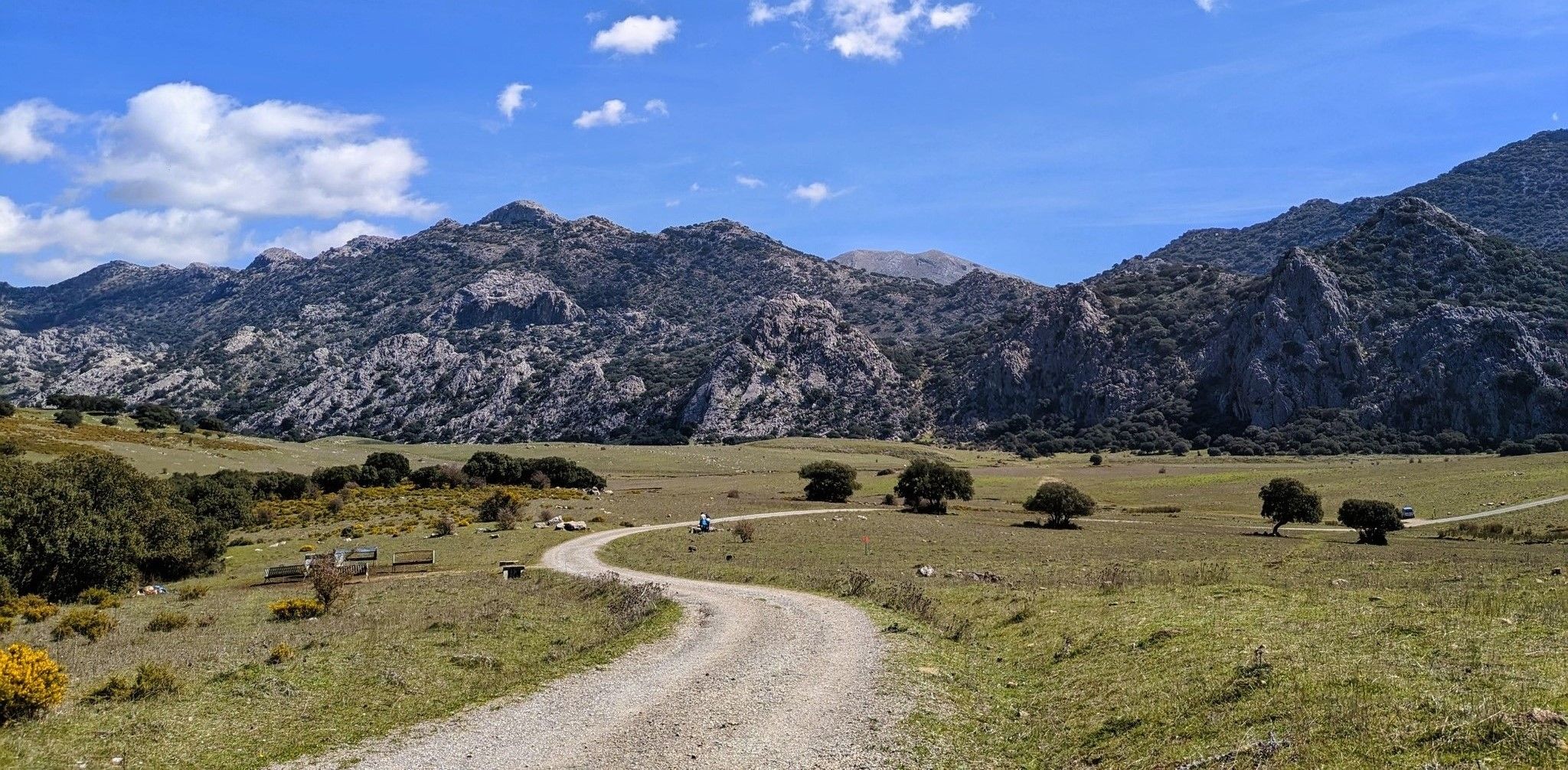
Between the mountains and villages of Cadiz – Sierra de Grazalema

Andalusia without limits – Tarifa to La Puebla de Don Fabrique on the GR 7
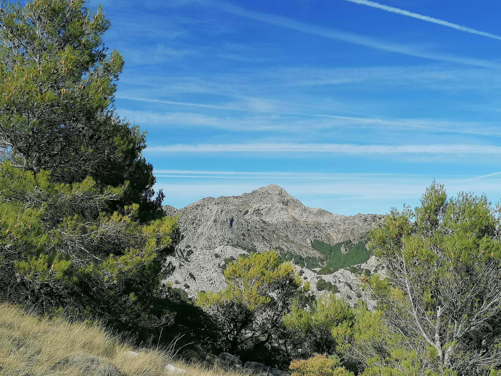
Iconic summits on foot – Sierra de Grazalema Natural Park
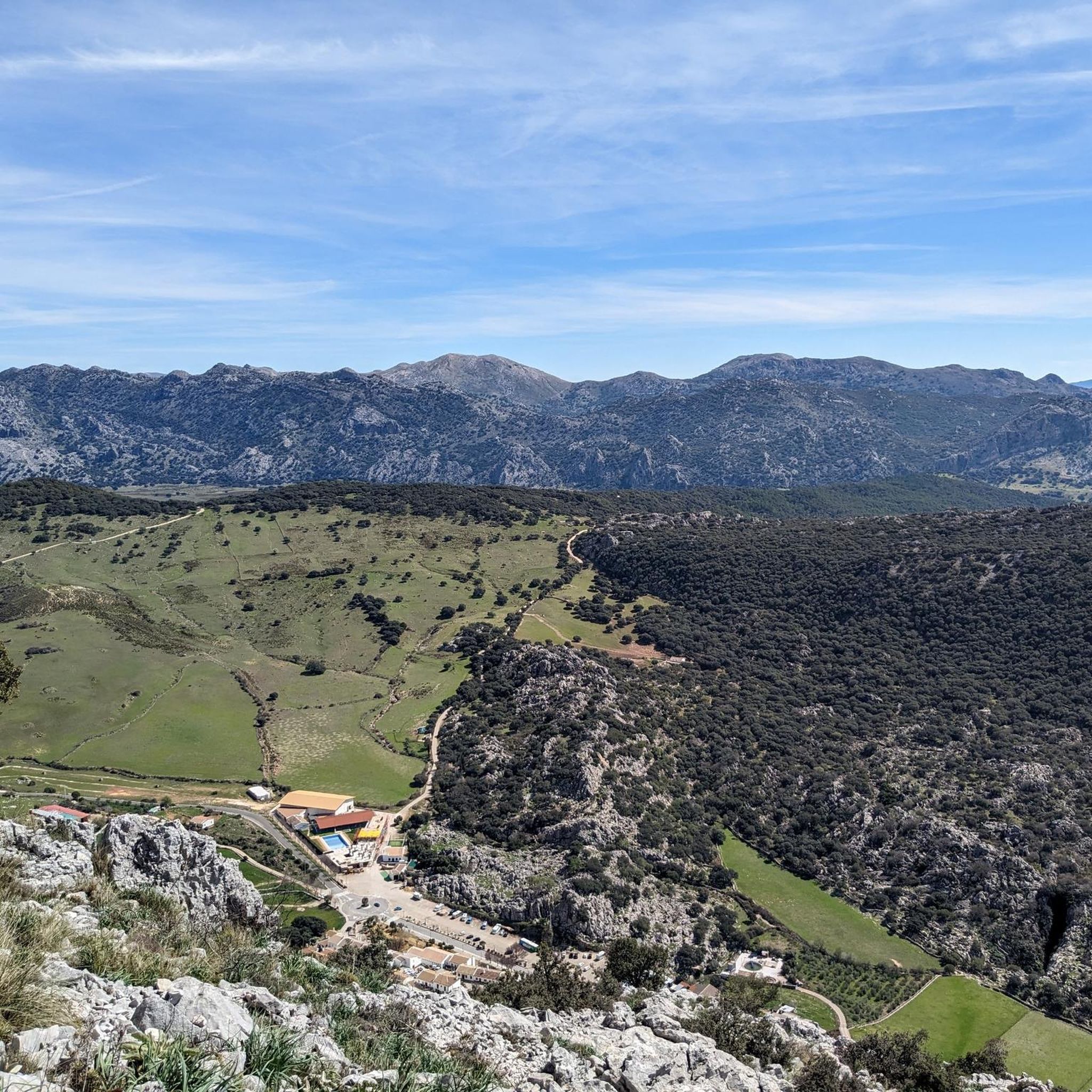
Road Cycling Routes around Villaluenga Del Rosario
Cycling around Villaluenga Del Rosario
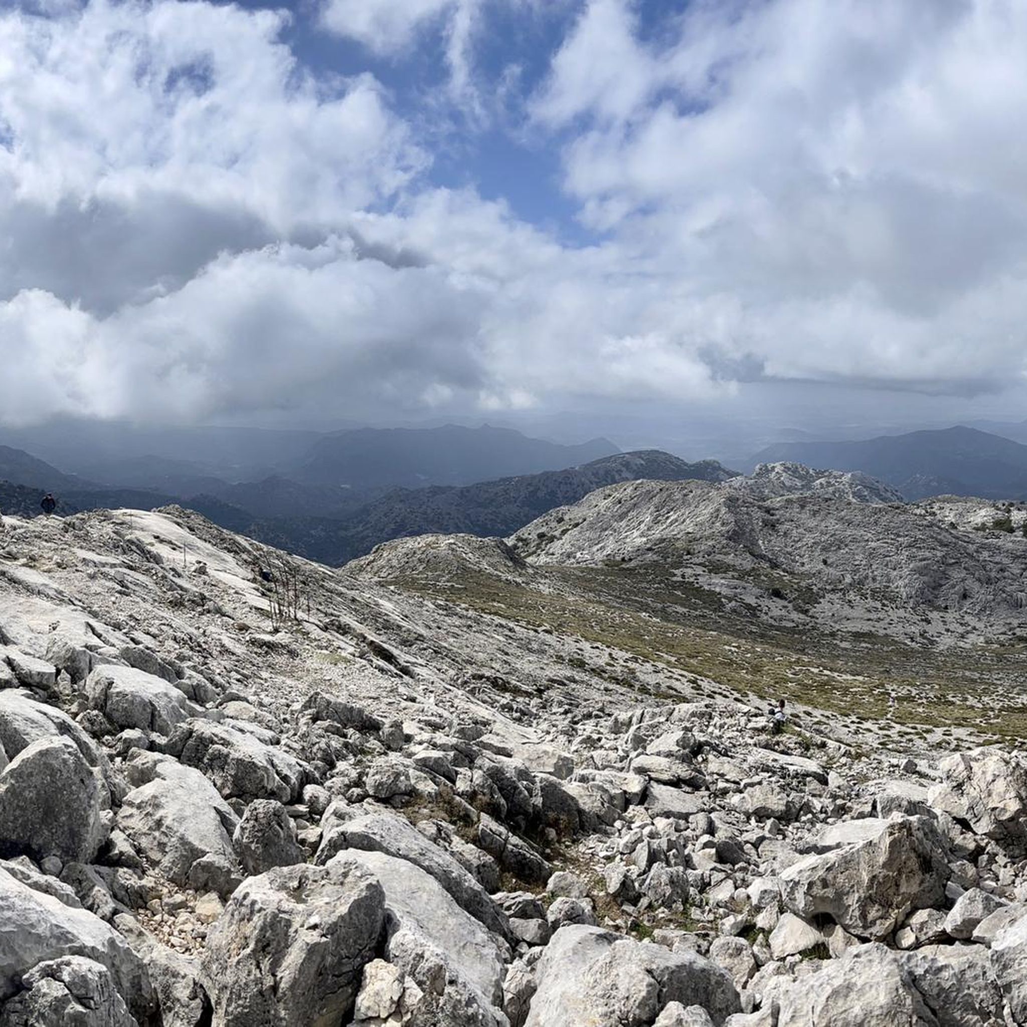
Running Trails around Villaluenga Del Rosario
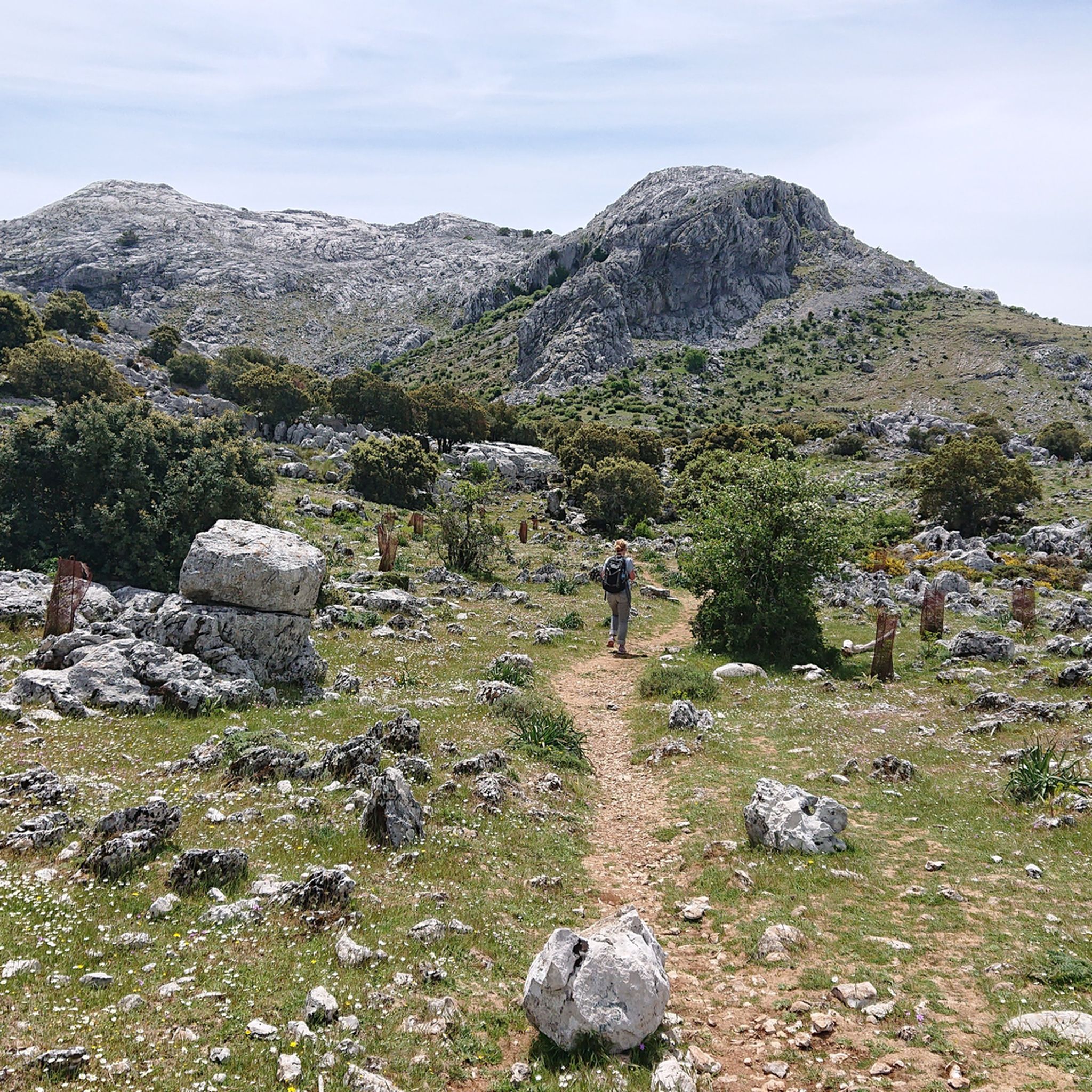
Hiking around Villaluenga Del Rosario
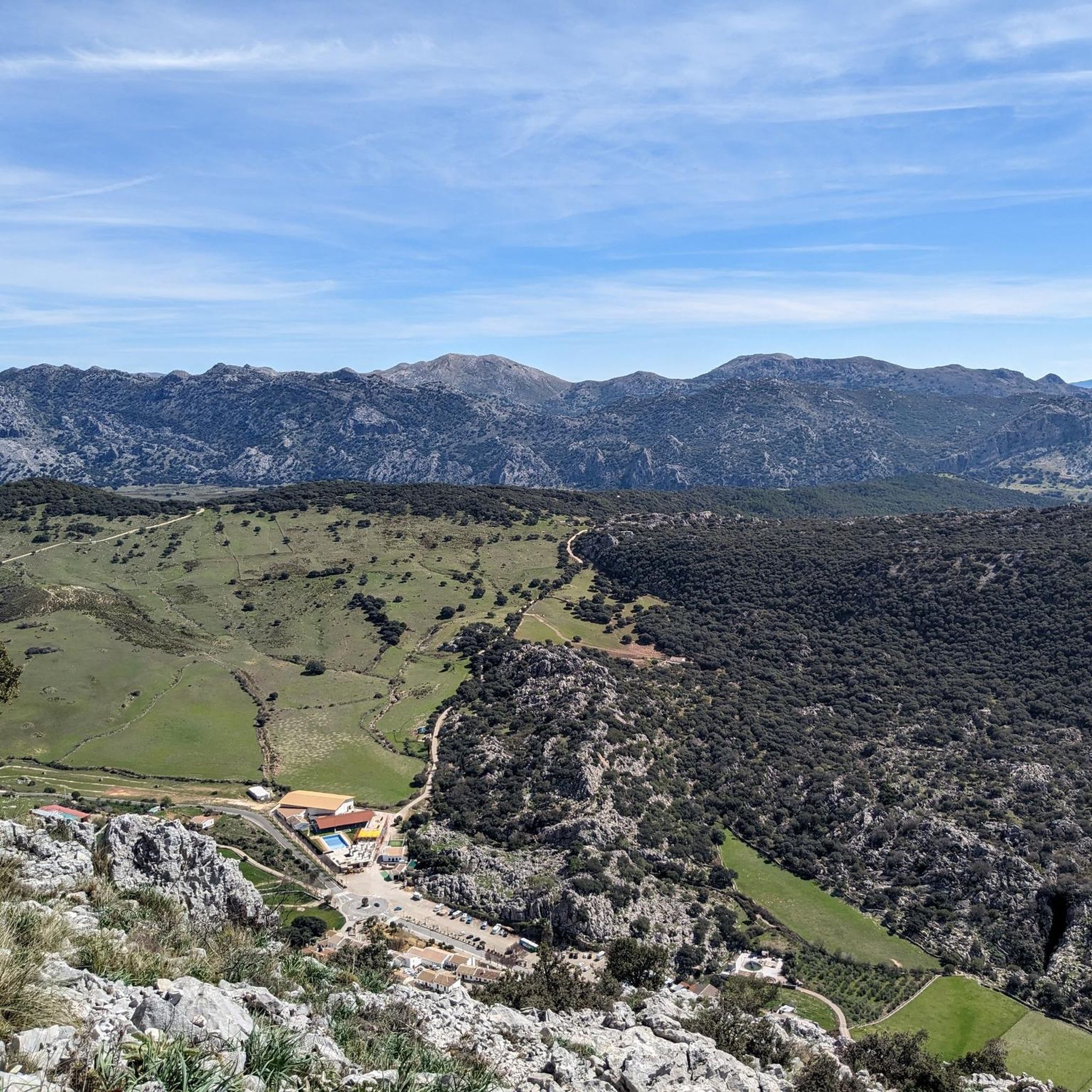
MTB Trails around Villaluenga Del Rosario

Gravel biking around Villaluenga Del Rosario
Other adventures around Villaluenga Del Rosario

Tips from the Community

Climbing the Simancon from the west side was easy and quite fun. Same goes for the Reloj. Luckily we had a very clear day and could see all the way upto Mulhacen in the Sierra Nevada and parts of Africa. However, descending from the Simancon was not easy at all. It was difficult to find a specific route and one has to be very careful.
0
0

You need a permit to do the hike. It can be found through the process on this website https://grazalemaguide.com/blog/how-to-get-a-permission-for-restricted-footpaths-in-the-sierra-de-grazalema/
0
0

Puerto de las Presillas is a very popular trail in the Sierra de Grazalema Natural Park in Andalusia. This route offers stunning views of the Sierra del Endrinal and allows you to observe unique geological formations, such as sharp ridges and hollows, created by the dissolution of limestone rock.
5
0

What a great view - 360°! The path here is steep but well maintained! Unfortunately, you can only get to the summit with a (free) permit (approx. 20 people/day) - register in advance! - . From the north, El Torreon is a steep wall, from the southwest: a real mountain path! It's worth it!
0
0
An interesting ascent/descent to the summit, pathless with beautiful friction plates (if you can find them: occasionally small yellow arrows on the rock), but hands are not needed, if the visibility is good: fantastic!
2
0

The cave was created out of necessity. The Sierra del Algarrobo blocks the Gaduares river, forcing the river to erode the rocks to find a way out. The resulting cave complex is nothing short of spectacular. The Cueva del Gato, 17 meters wide and 25 meters high, offers a hollowed-out natural space, where the Gaduares river re-emerges and joins the Guadiaro river. The main passage is over 4 km long. During the drier seasons, 25 individual lakes appear in the cave complex. The longest of these is the so-called Storm Cape and is 114 meters long. The lakes can only be crossed by swimming. The cave has a length of just over 8 km, but you are not allowed to enter it.
0
0

Using the power of moving water to drive a mill wheel is an ancient invention that dates back to pre-Christian times. Thanks to such a construction, human or animal muscle power could be easily replaced by a watercourse - natural or artificially created - in order to grind grain into corn, for example. There are essentially two different ways of driving watermills: Either the water simply hits the blades of the water wheel from below to set it in motion; or the water is guided above the wheel and falls onto the blades; this type of construction is more efficient due to natural gravity.
1
0

Frequently Asked Questions
What makes the natural monuments in Villaluenga del Rosario unique?
The natural monuments around Villaluenga del Rosario are uniquely shaped by their location within the Sierra de Grazalema Natural Park, an area renowned for its extensive karstic formations. This means you'll find a landscape rich in limestone rock, sculpted over time into fascinating features like sinkholes, caves, and dramatic mountain peaks. The region is a prime destination for speleology and offers diverse natural attractions, from underground systems to high-altitude viewpoints.
What are some notable natural features or landmarks to explore?
Beyond the general karstic landscape, you can explore specific natural features such as the impressive Presillas Pass, where limestone rocks have transformed into curious karst formations offering stunning views. Another significant landmark is El Torreón Peak, the highest point in Cádiz province, providing incredible 360º views. The region is also home to the Cat Cave, known for its natural waterfall and extensive underground system.
Are there family-friendly natural monuments or trails around Villaluenga del Rosario?
Yes, there are. The Enchanted Forest, part of the Llanos de Rabel Forest, is considered family-friendly. It offers a picturesque trail through a unique Spanish fir forest, providing good shade and a mystical atmosphere, ideal for families to enjoy nature. However, note that from June 1st to October 15th, entry might be restricted due to fire risk.
What outdoor activities can I do near these natural monuments?
The region around Villaluenga del Rosario is excellent for various outdoor activities. You can find numerous hiking trails, such as those leading to Llanos del Republicano, allowing you to explore diverse scenery. For cycling enthusiasts, there are both road cycling and mountain biking routes. You can find more details on specific routes in the hiking guide, road cycling guide, and MTB guide for the area.
Can I go caving or speleology near Villaluenga del Rosario?
Absolutely. Villaluenga del Rosario is a prime destination for caving and speleology due to its rich karstic landscape. The Sima de Villaluenga, an impressive sinkhole reaching 237 meters deep, is a principal reference point for speleologists. The wider area is known for having over 80 caves, making it a favorite for those interested in exploring underground systems. While the Sima's grand entrance is easily viewable, venturing into its depths requires experience and proper equipment.
What is the Sima de Villaluenga, and can I visit it?
The Sima de Villaluenga is an impressive sinkhole located at the highest point of the Manga de Villaluenga valley, very close to the urban center. It's a significant karstic formation, reaching a depth of 237 meters, with a complex system of underground galleries, rivers, and speleothems. Its wide entrance canyon is visible from the village, making it easily accessible for viewing. For experienced speleologists, it offers a challenging exploration. In times of heavy rain, a dramatic torrent plunges into the Sima, creating a spectacular natural event.
Is the Cueva del Gato located directly in Villaluenga del Rosario?
While the Cat Cave is a renowned natural monument in the Sierra de Grazalema Natural Park, it is not directly in Villaluenga del Rosario. It is located in Benaoján, Málaga. However, it's closely connected to the region as the river system feeding the Cueva del Gato originates near Villaluenga del Rosario, where its waters disappear underground to reappear at the cave.
Are there any historical or cultural sites near the natural monuments?
Yes, you can find historical elements integrated with the natural landscape. For example, the Ruins of the Majaceite River Water Mill offer a glimpse into the past, showcasing an old flour mill that utilized the river's power. These ruins are situated amidst small waterfalls, creating an idyllic spot to combine nature appreciation with a touch of local history.
What is the best time to visit the natural monuments in Villaluenga del Rosario?
The Sierra de Grazalema Natural Park, where Villaluenga del Rosario is located, can be visited year-round. However, for hiking and exploring the karstic formations, spring and autumn generally offer the most pleasant weather with milder temperatures. Winter can be beautiful, especially for appreciating the colors and contrasts of the rocks, but some areas might be colder or wetter. Summer can be very hot, making shaded trails like the Enchanted Forest more appealing, but be aware of potential fire restrictions.
What do visitors enjoy most about the natural monuments in this region?
Visitors particularly enjoy the stunning panoramic views from points like El Torreón Peak, which offers a 360° vista. The unique geological formations, especially the karst landscapes at places like Presillas Pass, are also highly appreciated. The dramatic natural spectacle of the Cat Cave's waterfall and the mystical atmosphere of the Enchanted Forest are also frequently highlighted by the komoot community.
What should I wear for hiking or exploring the natural monuments?
Given the varied terrain, which includes steep paths and potentially technical sections, especially when ascending peaks like El Torreón, sturdy hiking boots are highly recommended. Layered clothing is advisable to adapt to changing weather conditions, particularly in mountainous areas. Depending on the season, sun protection (hat, sunscreen) and rain gear might also be necessary. For caving or speleology, specialized gear is essential.
Are there hiking trails suitable for different difficulty levels?
Yes, the area offers a range of hiking trails catering to various difficulty levels. You can find moderate routes, such as the 'Villaluenga del Rosario – Llanos del Republicano loop,' which is about 11 km. For more challenging adventures, trails like the 'Simancón and Navazo Alto Loop' (around 17.8 km) or the ascent to El Torreón Peak are available. Always check the specific trail details for elevation, terrain, and required permits before heading out. More options can be found in the hiking guide.
Most popular routes around Villaluenga Del Rosario
Most popular attractions around Villaluenga Del Rosario

Get inspired with the komoot mobile app


Explore more
Extend your search for the best caves by checking out these guides of the top ones around Villaluenga Del Rosario:
