The best running trails around Villaluenga Del Rosario
4.6
(25)
1,210
runners
62
runs
Jogging around Villaluenga Del Rosario offers routes through the Sierra de Grazalema Natural Park, characterized by its mountainous terrain and unique karst landscape. The region features impressive rock massifs, including the Sierra del Caíllo and Sierra de Líbar, providing a hilly environment with significant elevation changes. Runners can explore paths through cork oak and holm oak forests, alongside green meadows and rolling hills, with panoramic views of the surrounding mountain range. This diverse topography ensures varied running experiences, from challenging…
Last updated: July 4, 2026
63
runners
Hard run. Very good fitness required. Mostly accessible paths. Some sure footedness required.
75
runners
14.7km
01:52
310m
310m
Hard run. Very good fitness required. Sure-footedness, sturdy shoes and alpine experience required.

Sign up for free
45
runners
26.4km
03:41
1,360m
1,360m
Hard run. Very good fitness required. Mostly paved surfaces. Suitable for all skill levels.
40
runners
36.2km
04:56
1,420m
1,420m
Hard run. Very good fitness required. Mostly paved surfaces. Suitable for all skill levels.
36
runners
21.3km
03:20
1,100m
1,100m
Hard run. Very good fitness required. Sure-footedness, sturdy shoes and alpine experience required.
Get access to more routes and recommendations from other explorers.
Sign up for free
Already have an account?
Our route recommendations are based on thousands of hikes, rides, and runs completed by other people on komoot.
Start today with a free account
Your next adventure awaits.
Login or Signup
Popular around Villaluenga Del Rosario
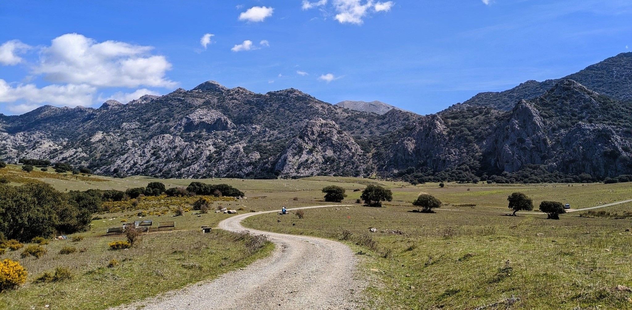
Between the mountains and villages of Cadiz – Sierra de Grazalema

Andalusia without limits – Tarifa to La Puebla de Don Fabrique on the GR 7
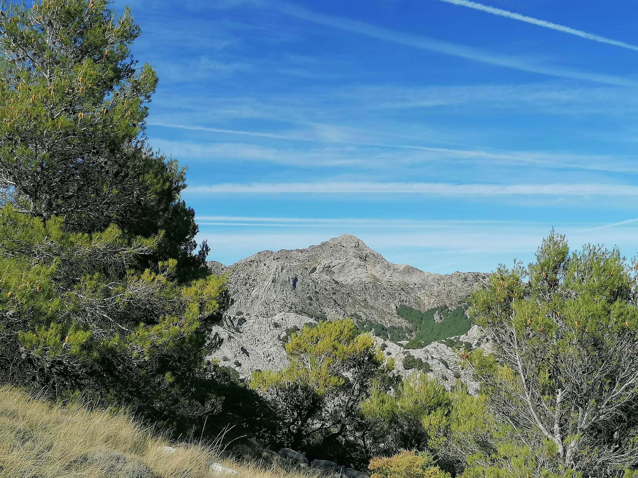
Iconic summits on foot – Sierra de Grazalema Natural Park
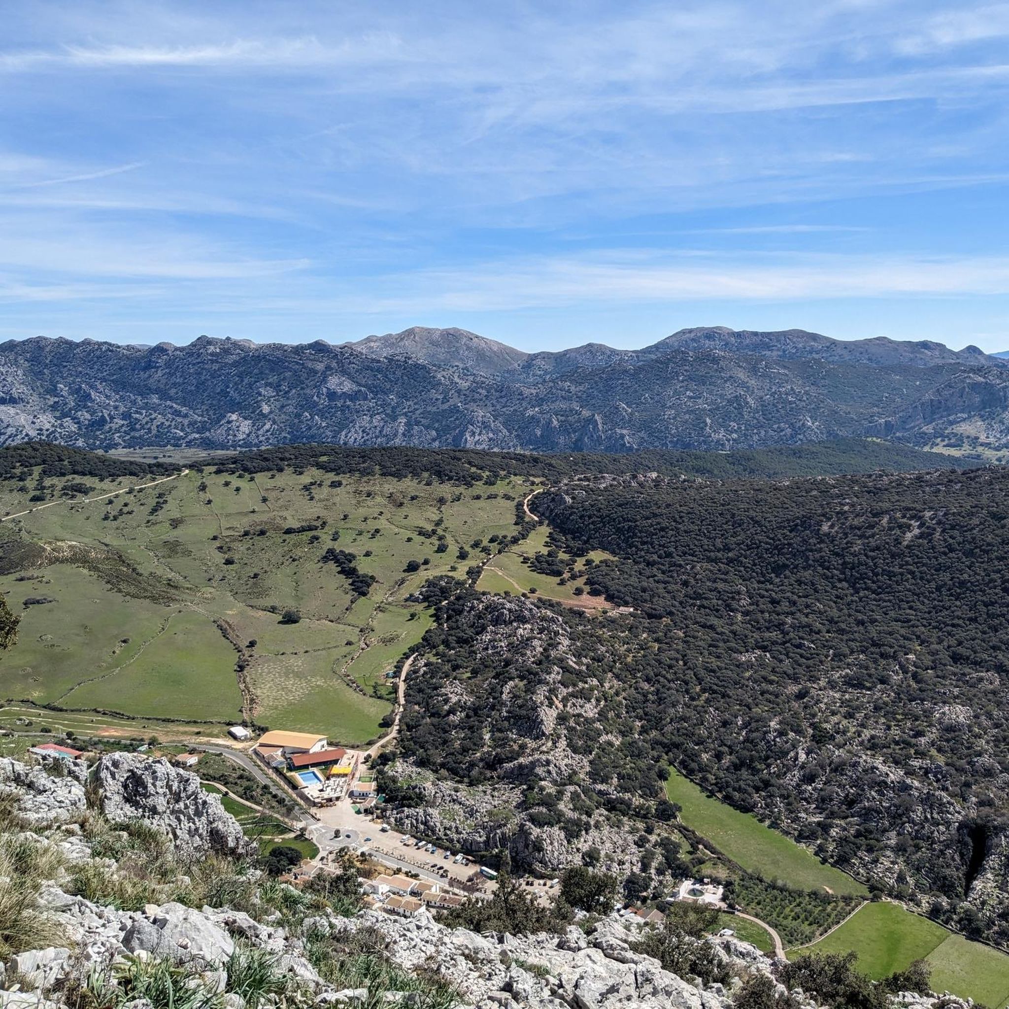
Road Cycling Routes around Villaluenga Del Rosario
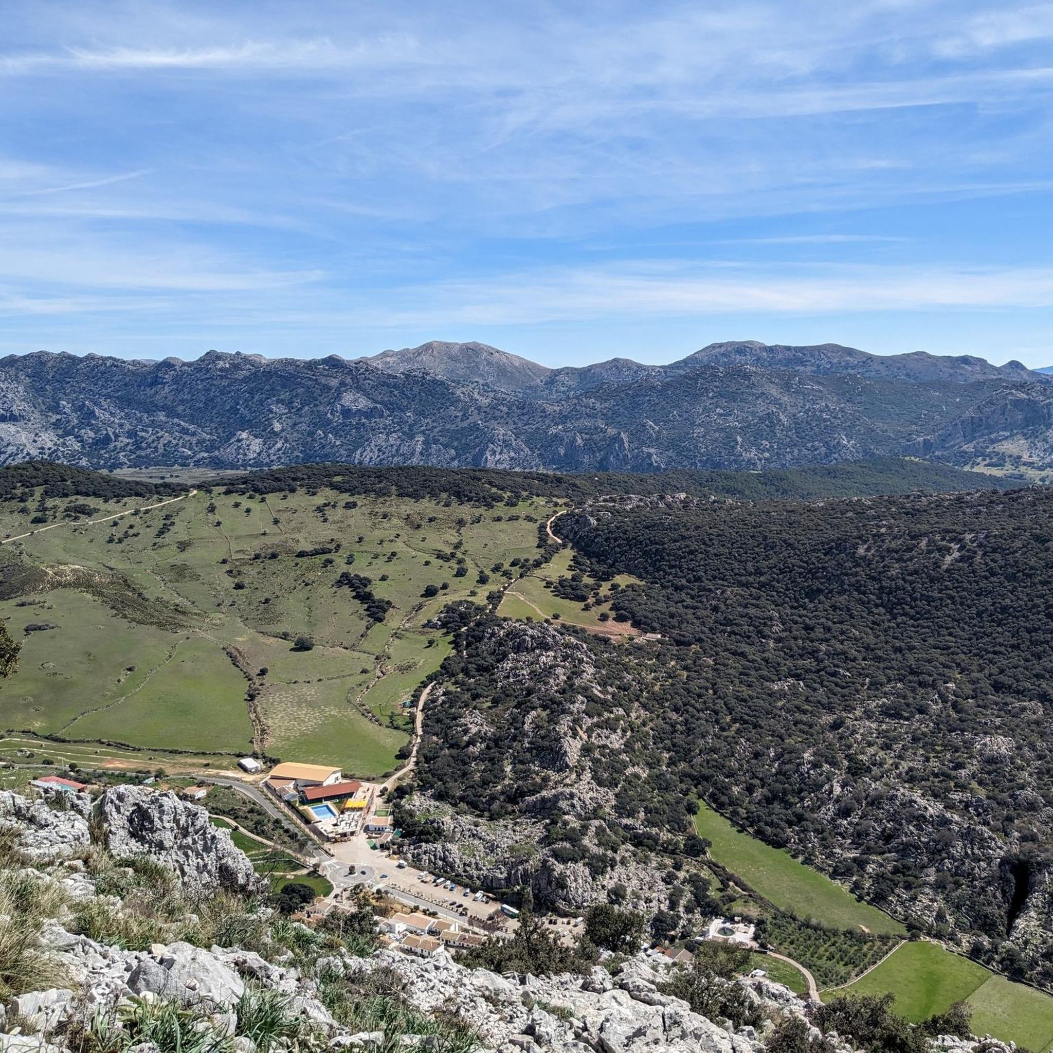
Cycling around Villaluenga Del Rosario
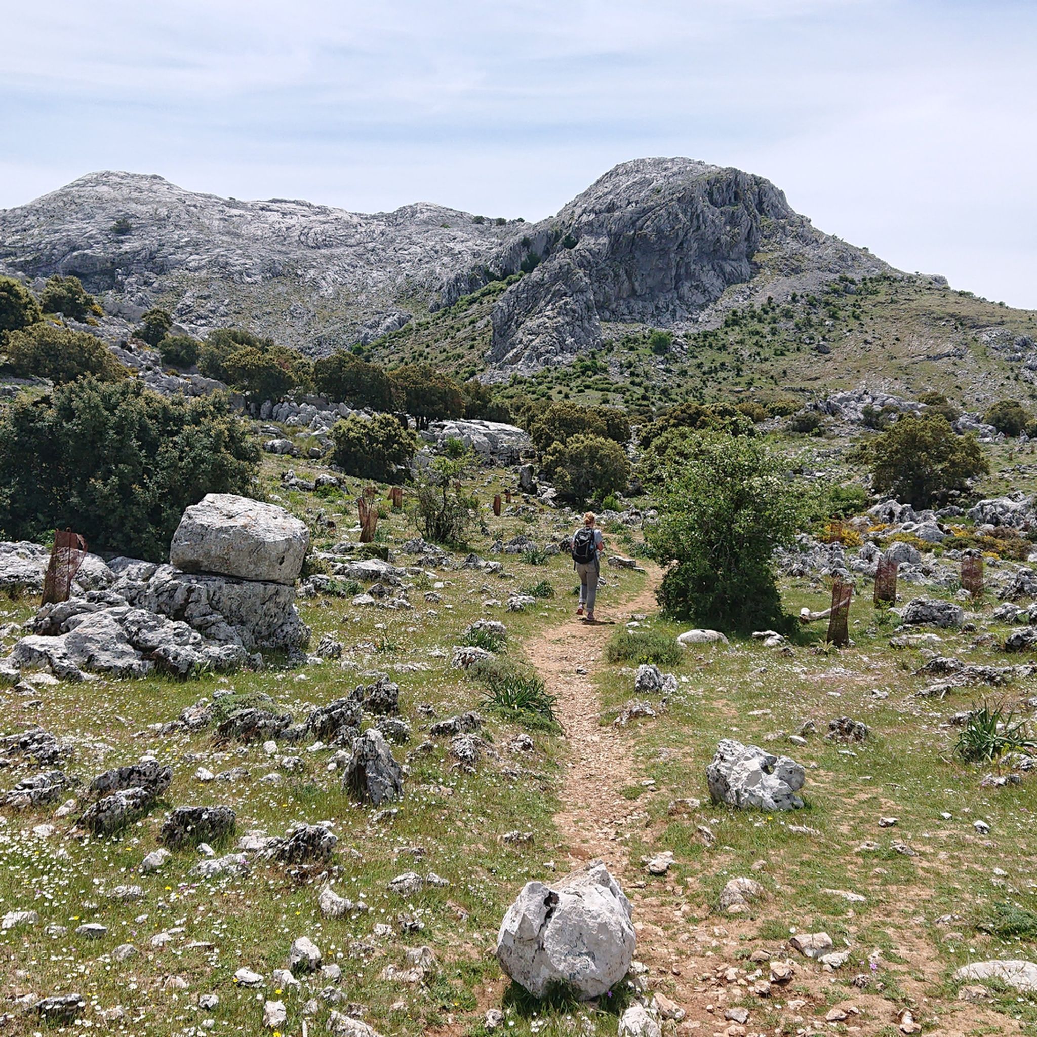
Hiking around Villaluenga Del Rosario
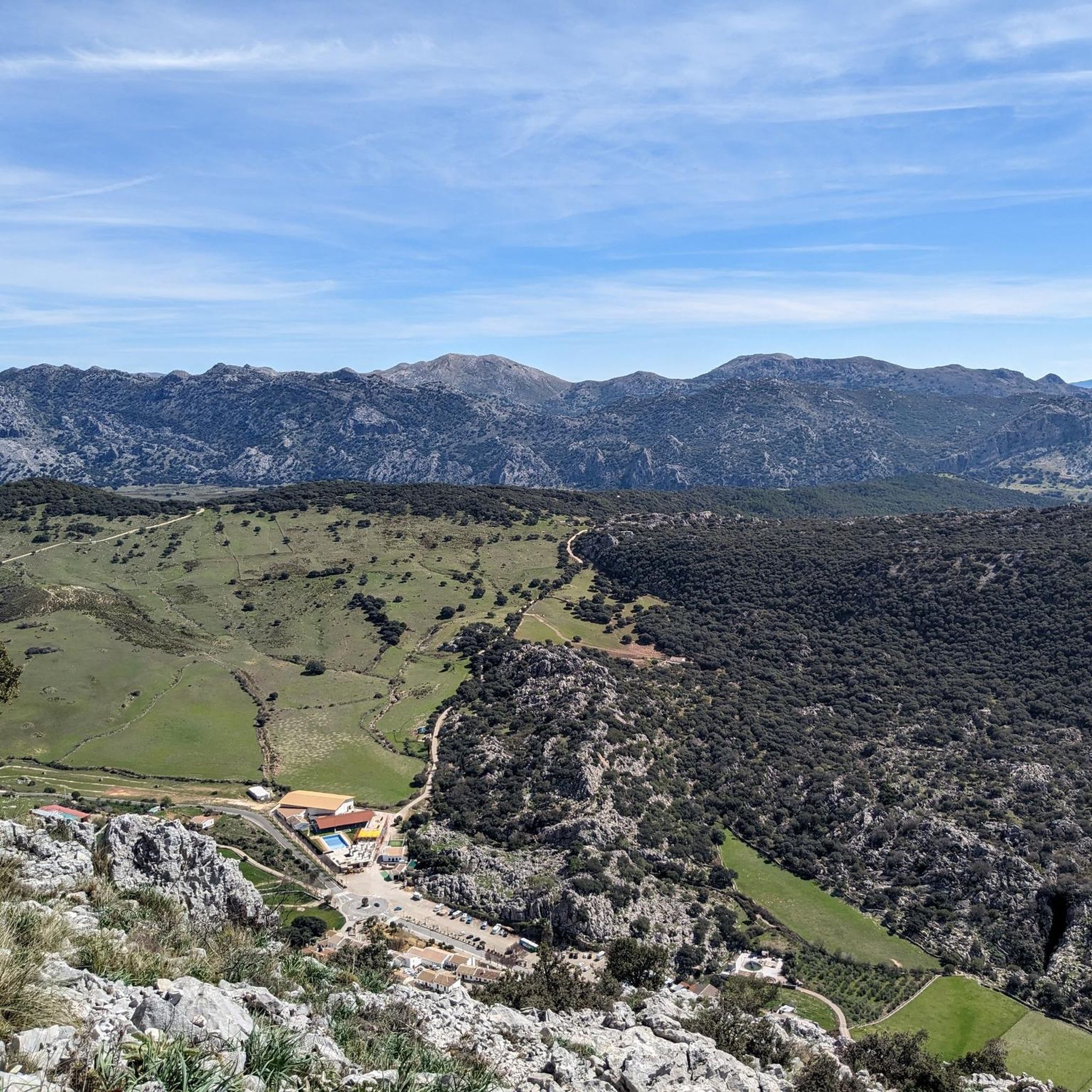
MTB Trails around Villaluenga Del Rosario

Gravel biking around Villaluenga Del Rosario
Other adventures around Villaluenga Del Rosario

Tips from the Community

Very smooth, wide climb in compact gravel
1
0

The Camino de los Charcones trail is a hiking route located in the Sierra de Grazalema Natural Park, near Grazalema, Cádiz. This trail is ideal for families due to its low difficulty and short distance.
6
0
Puerto de las Presillas is a very popular trail in the Sierra de Grazalema Natural Park in Andalusia. This route offers stunning views of the Sierra del Endrinal and allows you to observe unique geological formations, such as sharp ridges and hollows, created by the dissolution of limestone rock.
5
0

Just to say that it is not considered an environmental refuge. And its name is not that of the Spanish firs but rather that of the Navazos de Libar. Near this farm there is another one that is an open refuge and its name is the Peño Bermejo house.
1
0

Beautiful little town. We stayed there overnight on our hike from Tarifa to Switzerland.
3
0
Beautiful stretch of road between Villaluenga del Rosario and Montejaque
4
0

It is an unguarded refuge that takes its name from the magnificent Spanish firs that surround it. It is quite spacious and has a fireplace and several wooden tables. If you stay here, remember to take your garbage with you and leave it tightly closed so that animals do not enter.
3
0

Mountain town in the province of Cádiz that you cannot miss.
1
0
Frequently Asked Questions
How many running routes are available in Villaluenga del Rosario?
There are over 60 dedicated running routes around Villaluenga del Rosario, offering a wide range of options for different fitness levels and preferences. The komoot community has explored more than 1300 of these trails.
What are the typical difficulty levels for running trails in Villaluenga del Rosario?
The running trails in Villaluenga del Rosario are predominantly challenging, reflecting the mountainous terrain of the Sierra de Grazalema Natural Park. You'll find 17 moderate routes and 51 difficult routes, often featuring significant elevation changes and rugged paths. There are no easy routes listed, so runners should be prepared for a good workout.
What kind of landscapes can I expect to see while jogging in Villaluenga del Rosario?
Jogging in Villaluenga del Rosario offers diverse and dramatic landscapes. You'll traverse paths through impressive rock massifs, unique karst formations with caves and sinkholes, and lush cork oak and holm oak forests. Expect panoramic views of the Sierra de Grazalema mountain range, green meadows, and rolling hills, providing a constantly engaging experience.
Are there any circular running routes around Villaluenga del Rosario?
Yes, many running routes in the area are circular, allowing you to start and finish in the same location. For example, the challenging Camino de Los Charcones – Views of Simancón and Reloj loop from Villaluenga del Rosario is a popular option, offering extensive views of the Simancón and Reloj peaks.
What are some interesting landmarks or natural features to look out for on the running trails?
The region is rich in natural and cultural landmarks. You might encounter the unique karst landscape of the Llanos del Republicano, with its spectacular limestone peaks. Other notable features include the Presillas Pass, the Cat Cave, and the Majaceite River Trail. The village itself, Villaluenga del Rosario, is known for its octagonal bullring and the old Church of El Salvador, now a municipal cemetery.
Are there any family-friendly running options in Villaluenga del Rosario?
While many routes are rated moderate to difficult due to the mountainous terrain, families with older children who are accustomed to hiking or running can find suitable paths. The region offers varied trails, but it's important to check the elevation gain and distance for each route to ensure it matches your family's fitness level. The Llanos del Republicano, for instance, has sections that are fairly easy.
Can I bring my dog on the running trails in Villaluenga del Rosario?
Many trails within the Sierra de Grazalema Natural Park are dog-friendly, but it's always advisable to check specific regulations for each route, especially concerning protected areas or livestock. Ensure your dog is on a leash and that you carry waste bags. The diverse terrain offers plenty of opportunities for you and your canine companion to enjoy the outdoors.
What is the best time of year for running in Villaluenga del Rosario?
Spring and autumn are generally the best times for running in Villaluenga del Rosario. The temperatures are milder, and the landscape is vibrant. Summers can be very hot, making early morning or late evening runs preferable. Winters are cooler, but the trails remain accessible, offering a different, often misty, atmospheric experience.
Are there any longer, more challenging running routes for experienced runners?
Absolutely. For experienced runners seeking a significant challenge, routes like the Camino de Los Charcones – Views of Simancón and Reloj loop from Grazalema, spanning over 26 km with substantial elevation gain, are ideal. Another demanding option is the El Boyar Pass – Presillas Pass loop from Grazalema, which also covers a long distance with considerable ascent.
What do other runners enjoy most about jogging in Villaluenga del Rosario?
The running routes in Villaluenga del Rosario are highly rated by the komoot community, with an average score of 4.8 stars from over 20 reviews. Reviewers often praise the breathtaking panoramic views, the challenging yet rewarding mountainous terrain, and the unique natural features like the karst landscapes and diverse forests. The sense of immersion in the Sierra de Grazalema Natural Park is a frequently highlighted aspect.
Are there any amenities like cafes or places to eat near the running routes?
Villaluenga del Rosario, though small, offers local amenities. After your run, you can explore the village, which is famous for its Payoyo goat cheese. There are local establishments where you can sample this delicacy and find refreshments. The village provides a charming backdrop for post-run relaxation.
Is public transport available to access the running trails in Villaluenga del Rosario?
Public transport options to Villaluenga del Rosario are limited, as is common for smaller villages within natural parks. It's generally recommended to access the area by car. Once in the village, many trailheads are accessible on foot, or you can find parking near the starting points of various routes.
Most popular routes around Villaluenga Del Rosario
Most popular attractions around Villaluenga Del Rosario

Get inspired with the komoot mobile app


Explore more
Browse the best Running Trails & Routes in other regions.
