Top 4 Mountain Passes around Bárcena De Pie De Concha
Best mountain passes around Bárcena De Pie De Concha are found within the Iguña Valley of Cantabria, Spain. This region features a mountainous landscape and historical routes. Elevated points and ancient pathways offer both historical context and natural features. The area provides varied terrain for exploration.
Best mountain passes around Bárcena De Pie De Concha
- The most popular mountain passes is Palombera Pass, a mountain pass located at the eastern end of the Sierra del Cordel. It is 1260…
Last updated: July 1, 2026
El Moral Plateau
Highlight • Viewpoint
Translated by Google •
Tip by

Palombera Pass
Highlight • Mountain Pass
Translated by Google •
Tip by

Sign up now to discover places like this
Get recommendations on the best single tracks, peaks, & plenty of other exciting outdoor places.
Sign up for free
Cruz de Fuentes
Highlight • Mountain Pass
Translated by Google •
Tip by

Collada de Brenes
Highlight • Mountain Pass
Translated by Google •
Tip by

Alto del Tambuey
Highlight • Mountain Pass
Translated by Google •
Tip by
Start today with a free account
Your next adventure awaits.
Login or Signup
Popular around Bárcena De Pie De Concha

Other adventures around Bárcena De Pie De Concha

Tips from the Community

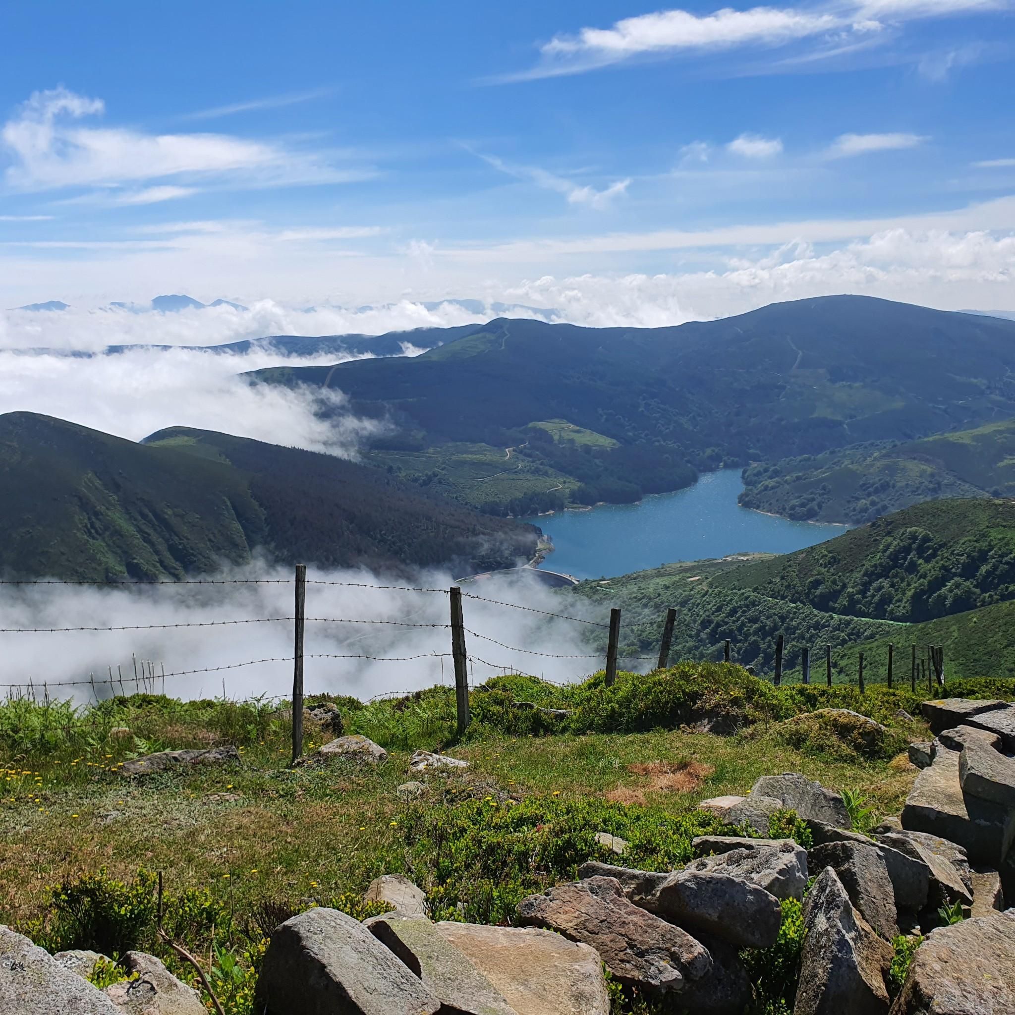
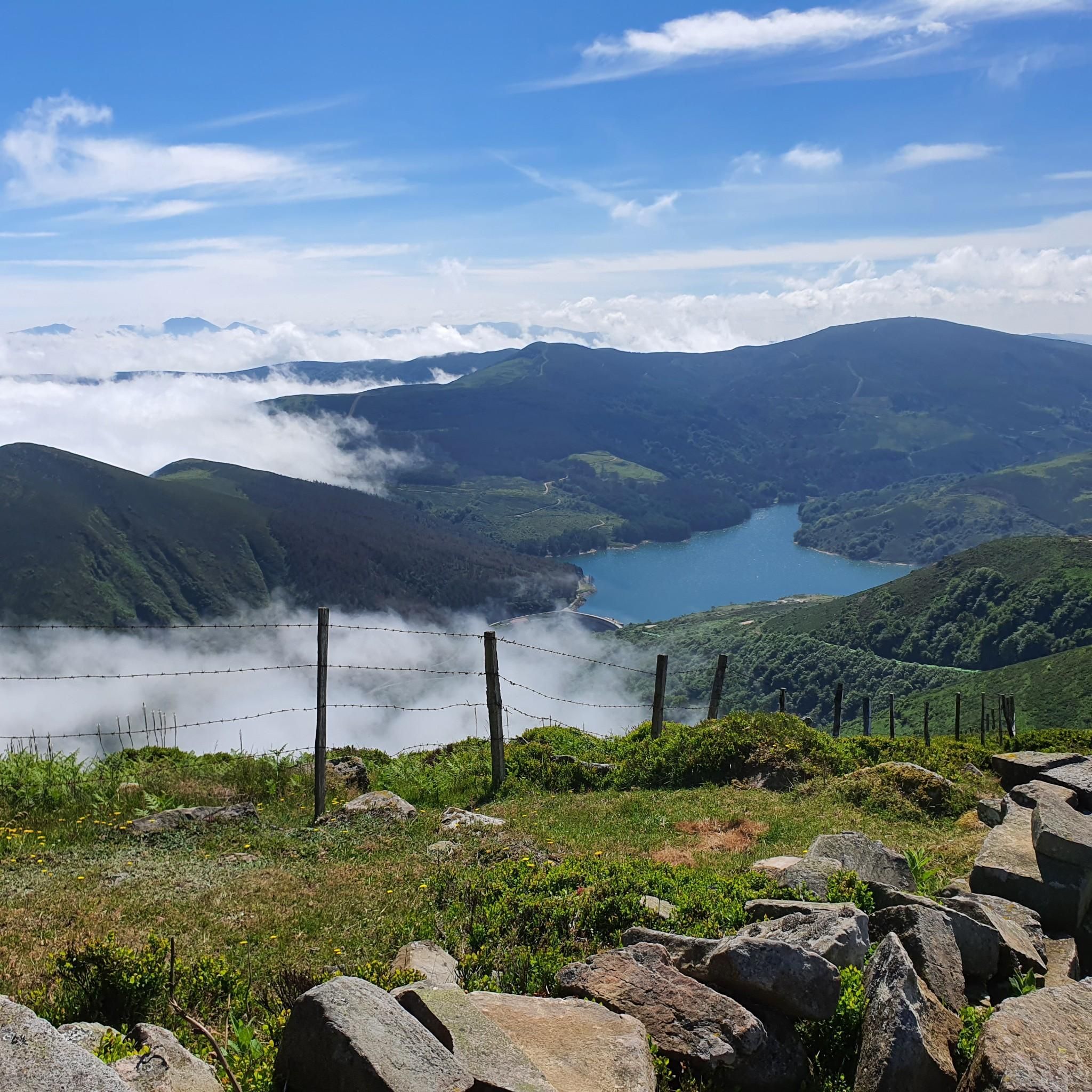
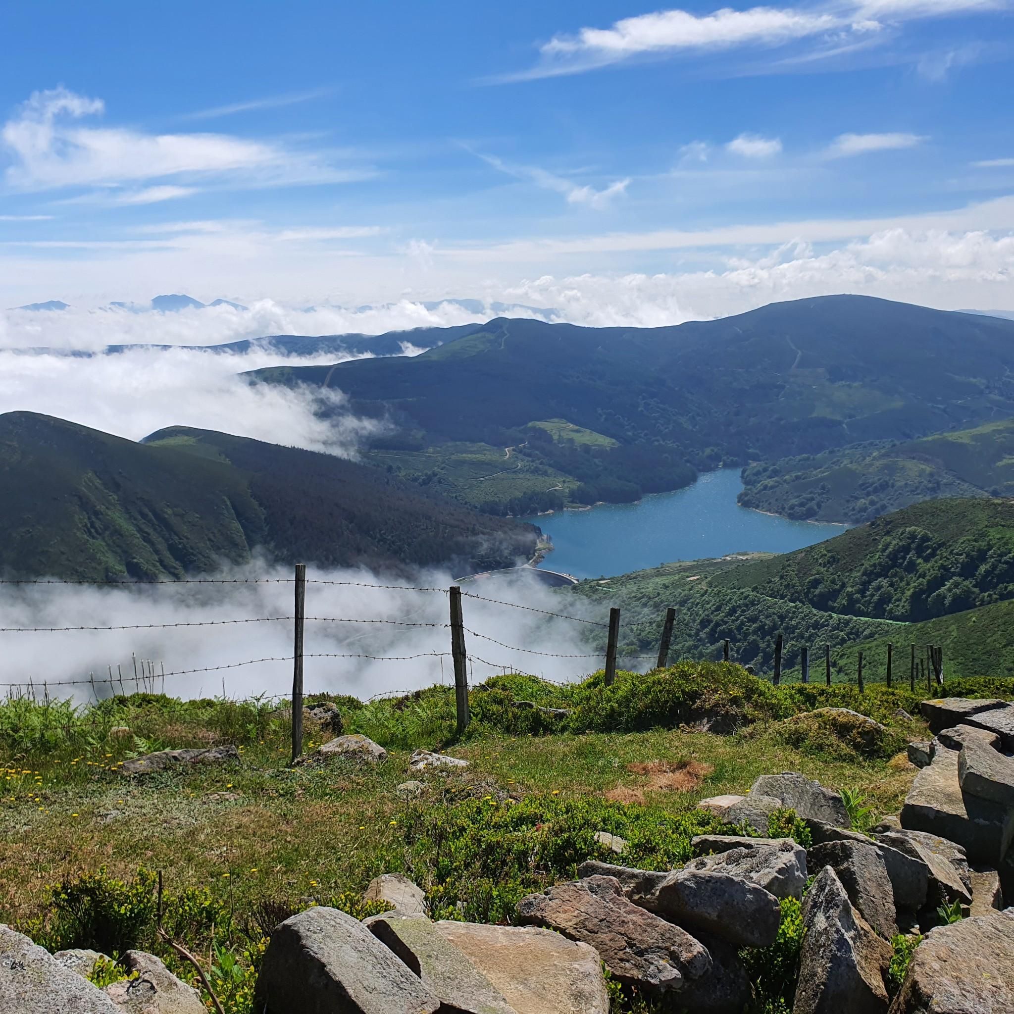
After a beautiful gravel climb, you reach this plateau with stunning views (including the Picos de Europa in the distance). The path then continues for a long time at altitude, with many cows and horses. Take a look: https://www.youtube.com/watch?v=OgEcgF17RDw
0
0
Indeed, a beautiful spot with breathtaking views, both towards the Picos de Europa and other Cantabrian mountains. The (gravel) road there is also stunning; just take a look: https://www.youtube.com/watch?v=OgEcgF17RDw
0
0

From Los Tojos (636 m) and Colsa (729 m) the rope is gained at the Venta Vieja pass (1152 m), where one of the many inns that awaited the traveller along the way was located.
0
0
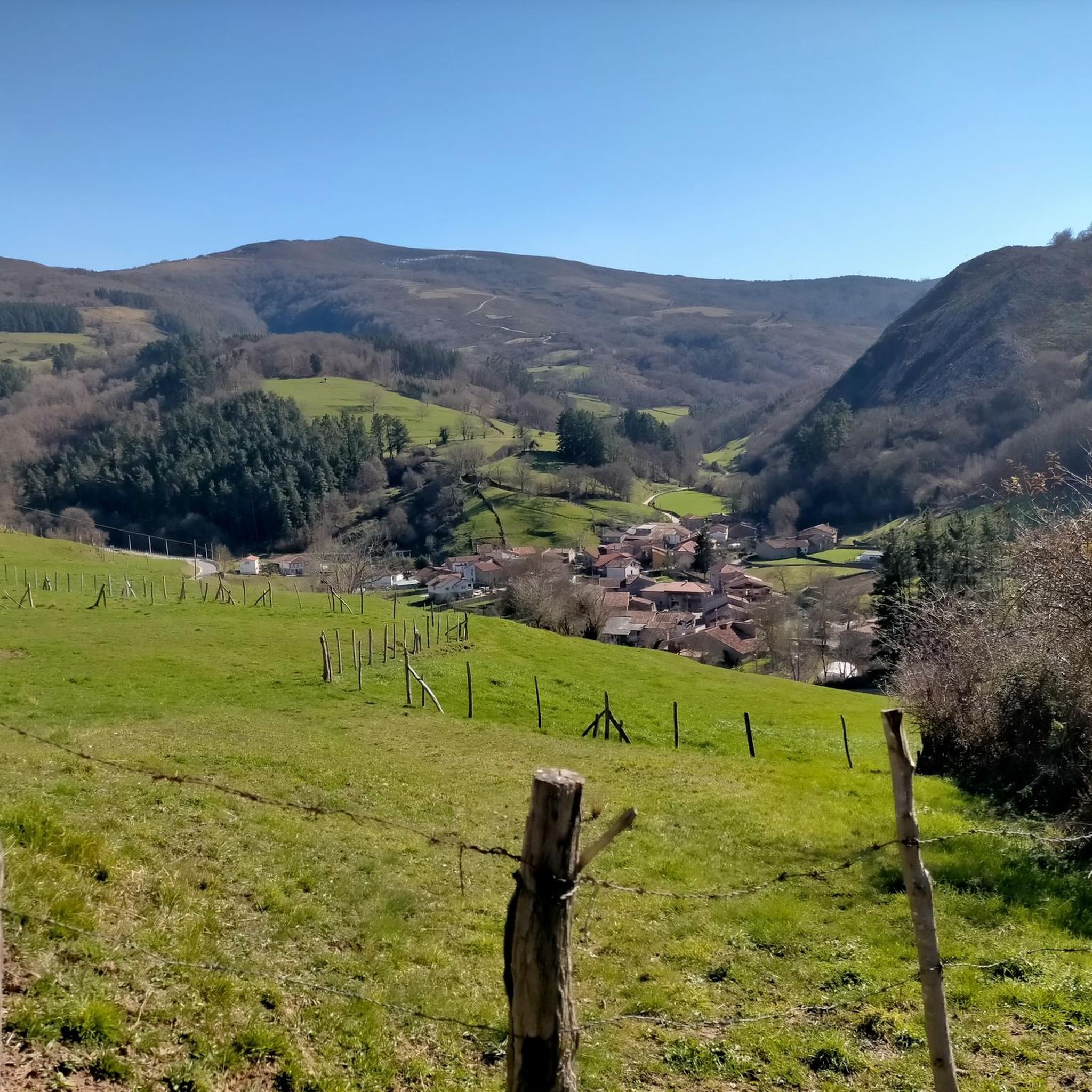
A hill located below the summit of the same name as the Saja reserve, resting on a ridge of gentle elevations above the Cabuérniga valley. These Saja mountains are often known as the Sierra de Bárcena Mayor, due to the town that lies at its feet at an altitude of 534 metres. In ancient times, the so-called Camino de Castilla or Reinosa road crossed this ridge towards the lands of Campoo. From Los Tojos (636 m) and Colsa (729 m) the ridge was reached at the Venta Vieja hill (1152 m), where one of the many inns that awaited the traveller along the way was located.
0
0
The Collada de Brenes is a mountain pass belonging to the Cantabrian mountain range and located in Cantabria. It links the municipality of Cieza to the north with that of Arenas de Iguña to the south.
0
0

A famous pasture in the region, close to a thousand meters of altitude. In the center of the braña stands the hermitage of Moral, and attached to it a small refuge. Legend has it that the Virgin appeared in this place, which led to the construction of the small sanctuary, next to the route that linked the Coast with Campoo.
2
0
The Palombera pass is a 1st category mountain pass located at the eastern end of the Sierra del Cordel. One of the most beautiful ports in Cantabria with a spectacular landscape.
2
0
Frequently Asked Questions
What are some notable elevated points or historical routes to explore around Bárcena De Pie De Concha?
While Bárcena De Pie De Concha is characterized by its mountainous landscape and historical routes rather than conventional high-altitude mountain passes, you can explore significant features like the prominent summit of Pico Jano, the ancient Roman Road (Calzada Romana), and the historic Camino Real. Additionally, there are designated mountain passes such as Palombera Pass and El Moral Plateau.
Where can I find panoramic views of the Cantabrian Mountains and Picos de Europa?
For breathtaking panoramic views, consider ascending Pico Jano, which offers 360-degree vistas of the surrounding Cantabrian Mountains, the Liébana valley, and even parts of the Picos de Europa. The El Moral Plateau also provides excellent views towards the Picos de Europa and other Cantabrian peaks. Another option is Palombera Pass, known for its spectacular landscape.
Are there any historical routes or ancient pathways to walk in the area?
Yes, Bárcena De Pie De Concha is rich in historical routes. You can walk a well-preserved section of the Roman Road (Calzada Romana), an ancient route that once connected the Castilian plateau with the Cantabrian coast. Another significant historical path is the Camino Real (Royal Road), particularly the 'Camino Real de Las Hoces,' an 18th-century route that served as a vital communication artery.
What kind of outdoor activities can I do near these mountain passes and routes?
The region offers a variety of outdoor activities. For hiking, you can explore routes like the 'Roman Road and Camino Real Loop' or the challenging 'Pico Jano loop from Bárcena'. Mountain biking enthusiasts can find trails such as the 'Alsa Reservoir – Roman Road Trail loop'. Road cyclists can tackle routes like the 'Alto de Brenes – Pico Jano loop'. You can find more details on these activities in the hiking, MTB, and road cycling guides for Bárcena De Pie De Concha.
Are there family-friendly hiking options around Bárcena De Pie De Concha?
Yes, the preserved section of the Roman Road (Calzada Romana) between Pie de Concha and Somaconcha is an accessible and enjoyable hike suitable for families. It offers a blend of natural beauty and archaeological significance through picturesque landscapes.
What is the difficulty level of the trails and routes in the area?
The difficulty levels vary. For instance, the 'Fuente Clara Trail' is considered easy, while the 'Roman Road and Camino Real Loop' is moderate. Ascents like the 'Pico Jano loop from Bárcena' are rated as difficult due to significant elevation gain. Many mountain passes, such as Palombera Pass and Cruz de Fuentes, involve intermediate-level tracks.
What historical landmarks can be found along the routes?
Along the routes, you can discover several historical landmarks. The Roman Road itself is a significant archaeological site. The Camino Real features preserved infrastructures like cobblestone paving, milestones, and retaining walls. On the ascent to Pico Jano, you might encounter a Stone Age megalithic grave and remnants of an Iron Age settlement. The El Moral Plateau features a hermitage and a small refuge with historical legends.
What do visitors enjoy most about the mountain passes and routes in Bárcena De Pie De Concha?
Visitors particularly appreciate the stunning panoramic views from elevated points like Palombera Pass and El Moral Plateau. The historical significance of routes like the Roman Road and Camino Real, offering a tangible connection to the past, is also highly valued. The varied terrain, from Atlantic forests to deep gorges, and the blend of natural beauty with human-made structures, contribute to a rich exploration experience.
Are there any specific natural features to look out for?
Yes, the region is rich in natural features. The ascent to Pico Jano traverses Atlantic forests and passes by two ponds. The Roman Road winds through picturesque landscapes with thick vegetation. The Camino Real offers spectacular scenery through the deep gorge carved by the Besaya River, known as Las Hoces, where natural elements converge with the old railway line and national road.
What is the best time of year to visit Bárcena De Pie De Concha for hiking and exploring?
While specific seasonal conditions are not detailed, the region's mountainous terrain and forests suggest that spring and autumn would offer pleasant temperatures and vibrant natural scenery for hiking and exploring. Summer can also be suitable, though some routes might be more exposed to the sun. Winter conditions could bring snow to higher elevations like Pico Jano.
Can I link different mountain passes or routes together for a longer journey?
Yes, it is often possible to link routes. For example, Palombera Pass can be easily linked with Cruz de Fuentes. The historical routes like the Roman Road and Camino Real also offer opportunities for extended walks, sometimes forming loops as seen in the 'Roman Road and Camino Real Loop' hiking route.
What is the significance of Alto del Tambuey?
Alto del Tambuey is a hill located below the summit of the same name within the Saja reserve. Historically, the Camino de Castilla or Reinosa road crossed this ridge towards the lands of Campoo, making it a point of historical passage. It's part of the Sierra de Bárcena Mayor, offering insights into the region's past as a transit point.
Most popular routes around Bárcena De Pie De Concha
Most popular attractions around Bárcena De Pie De Concha

Get inspired with the komoot mobile app


Explore more
See even more epic mountain passes by checking out these guides around Bárcena De Pie De Concha:
