Top 20 Natural Monuments around Sint-Niklaas
Natural monuments around Sint-Niklaas offer diverse landscapes, from expansive flood plains to historical forests and man-made lakes. The region provides opportunities to observe local flora and fauna, explore unique ecological recovery projects, and enjoy green spaces within and beyond the city. Historical elements, such as moated castles and ancient defense lines, are often integrated into these natural settings, blending nature with local heritage, making for varied walking routes and family-friendly trails.
Best natural monuments around Sint-Niklaas
- The most popular natural monuments is Rupelmondse Kreek — Historic site — Dike breach 1715, a lake formed by a historic dike breach in 1715, now a nature reserve. This location showcases a unique piece of hydraulic engineering and offers walking paths between creeks.
- Another must-see spot is Spanish Line in Stropersbos, a historical site featuring remains of a 1701 defense line within a forest. The area preserves traces of the War of the Spanish Succession, with a canal and paths named after the historical "Line."
- Visitors also love Hof ter Saksen Castle, a castle located within a public educational nature park. The estate includes walking paths, an arboretum, and a castle park with a farm and orangery, suitable for families.
- Sint-Niklaas is known for its historical sites, forests, and unique creek areas. Visitors can explore ancient defense lines, expansive polders, and serene parklands, offering a range of natural features.
- The natural monuments around Sint-Niklaas are appreciated by the komoot community, with 189 upvotes and 26 photos shared across the various highlights.
Last updated: October 15, 2026
Spanish Line in Stropersbos
Highlight • Historical Site
(Information board on site)
One of the paths in the bid is therefore called "Liniedreef". This runs along the canal "De Linie".
Translated by Google •
Tip by

Hof ter Saksen Castle
Highlight • Castle
Translated by Google •
Tip by

Sign up now to discover places like this
Get recommendations on the best single tracks, peaks, & plenty of other exciting outdoor places.
Rupelmondse Kreek — Historic site — Dike breach 1715
Highlight • Lake
Translated by Google •
Tip by

The Liefkes Tree
Highlight • Natural Monument
Translated by Google •
Tip by

Great Saleghem Channel
Highlight • River
Triggered? More information at inventaris.onroerenderfgoed.be/erfgoedobjecten/135197
Translated by Google •
Tip by
Water Extraction Forests Zeeuws-Vlaanderen
Highlight (Segment) • Forest
The water extraction forests consist mainly of exotic trees that have been planted for forestry. But there are also old pedunculate oaks and beech trees, which provide shelter for birds, insects and mammals. There are small-scale fields around Sint Jansteen, which we sow with old grain varieties. Part of the crop remains in the winter so that birds can still find food. Bushes and small trees at the edges of the fields provide space for special insects. Partridges, yellow wagtails, meadow pipits and skylarks breed among the wild field weeds. Cultivated crops and nature conservation reinforce each other in this beautiful Zeeland-Flemish area.
Translated by Google •
Tip by
Haasdonk Fort
Highlight • Historical Site
Tip by

Doelpolder North
Highlight • Natural
For centuries, the polder was a fertile agricultural area, along the dikes and locks that protected the low-lying land against flooding from the Scheldt. Farmers in the Doelpolder Noord grew crops and raised livestock, eking out a modest but stable existence.
But in the second half of the 20th century, the plot of the Doelpolder Noord began to change. The expansion of the port of Antwerp brought changes. Plans for the construction of new docks and infrastructure threatened the polder. The dikes were constructed, and some parts of the area were rezoned for industrial use.
These developments caused a fierce debate between proponents of economic growth and opponents who wanted to preserve the unique nature and agricultural traditions of the polder. Ecologists pointed to the area's valuable wetlands and biodiversity, as farmers act to preserve their land.
Ultimately, the pressure of port development caused part of the Doelpolder Noord to be cleared and converted into an industrial site. This is causing outrage and sadness among some residents and environmentalists. Yet another part of the polder has been preserved as a protected and protected landscape, where migratory birds and wildlife thrive.
Doelpolder Noord remains a symbol of the sustainable struggle between economic expansion and environmental conservation. It is an area with a complex and rich biodiversity, which continues to evolve under the influence of systematic discussion and political management. The balance between economy and nature conservation remains a challenge for this significant piece of Belgian landscape.
#WandelTotaal
Translated by Google •
Tip by

Hedwig Polder
Highlight • Natural
The origins of the Hedwigepolder go back to the Middle Ages, when dikes were constructed to protect the area against flooding. The land was reclaimed and developed for agriculture, mainly livestock and arable farming. The area became permanent after Saint Hedwig of Andechs, and the polder was given its name, the Hedwigepolder.
However, the Hedwigepolder is best known for the Hedwigepolder conflict that started in 2005. It revolved around the agreements made in the Treaty of Maastricht in 1839. According to this treaty, the Netherlands had to reclaim and drain part of the Zwin, an estuary on the coast. . This is part of the creation of the Hedwigepolder.
The problem arose when the Netherlands decided to flood the Hedwigepolder again in 2010 as part of an environmental project to restore the natural tidal function of the Western Scheldt. This decisive decision aroused fierce resistance from Belgium, because the water was contaminated with heavy metals and polluted. The Flemish government and other stakeholders in Belgium believed that the Netherlands should fulfill its obligations under the Maastricht Treaty and keep the polder dry.
It moved to political and legal discussions between the Netherlands and Belgium, and it also attracted the attention of nature conservation organizations and environmental groups. An agreement was finally reached between the two countries in 2015, in which the Netherlands agreed to preserve the Hedwigepolder and eliminate the loss of natural values for the elderly.
The Hedwigepolder remains a symbol of the complex relationship between economic interests, environmental protection and international agreements. The area itself has a long history and offers an interesting look at the challenges of managing coastal land and preserving delicate ecosystems in the Low Countries of Europe. It remains a reminder of the delicate balance between human activity and nature.
#WandelTotaal
Translated by Google •
Tip by
Singelberg Motte (Beveren)
Highlight • Historical Site
The Singelberg should be distinguished from the modern office complex Burcht Singelberg of the same name on Ketenislaan in Kallo, where the headquarters of Katoen Natie, located in the Waaslandhaven, is located.
The Singelberg, currently a derelict, eight-metre high, earthen hill located in the northwest of Beveren, approximately 2.5 km from the Market, is the only remnant and symbol of the historic place where the glory of the land of Beveren, the predecessor of the current municipality of Beveren, once arose. The original name of the Singelberg is Beverenbroeck, a water toponym that refers to the swampy wetland surrounding the earthen hill.
More information at nl.wikipedia.org/wiki/Singelberg
Translated by Google •
Tip by
Sign up for free to discover even more natural monuments around Sint-Niklaas.
Already have an account?
Start today with a free account
Your next adventure awaits.
Popular around Sint-Niklaas
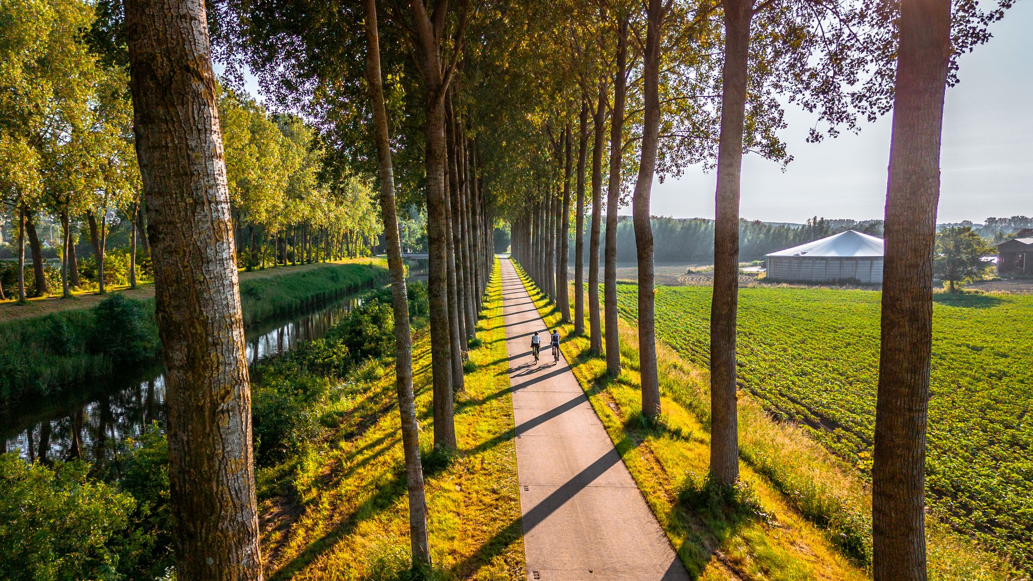
The six most beautiful cycling routes in East Flanders
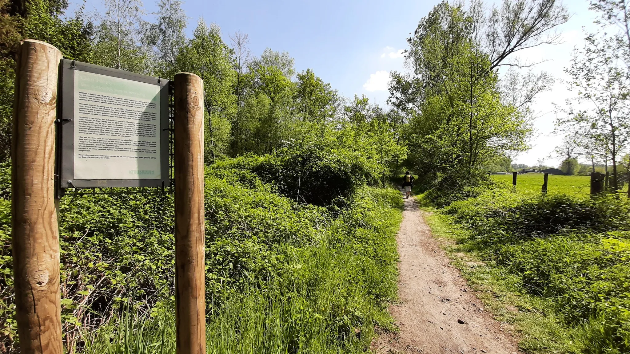
In the footsteps of den vos Reynaerde – Streek-GR Waas- en Reynaertland
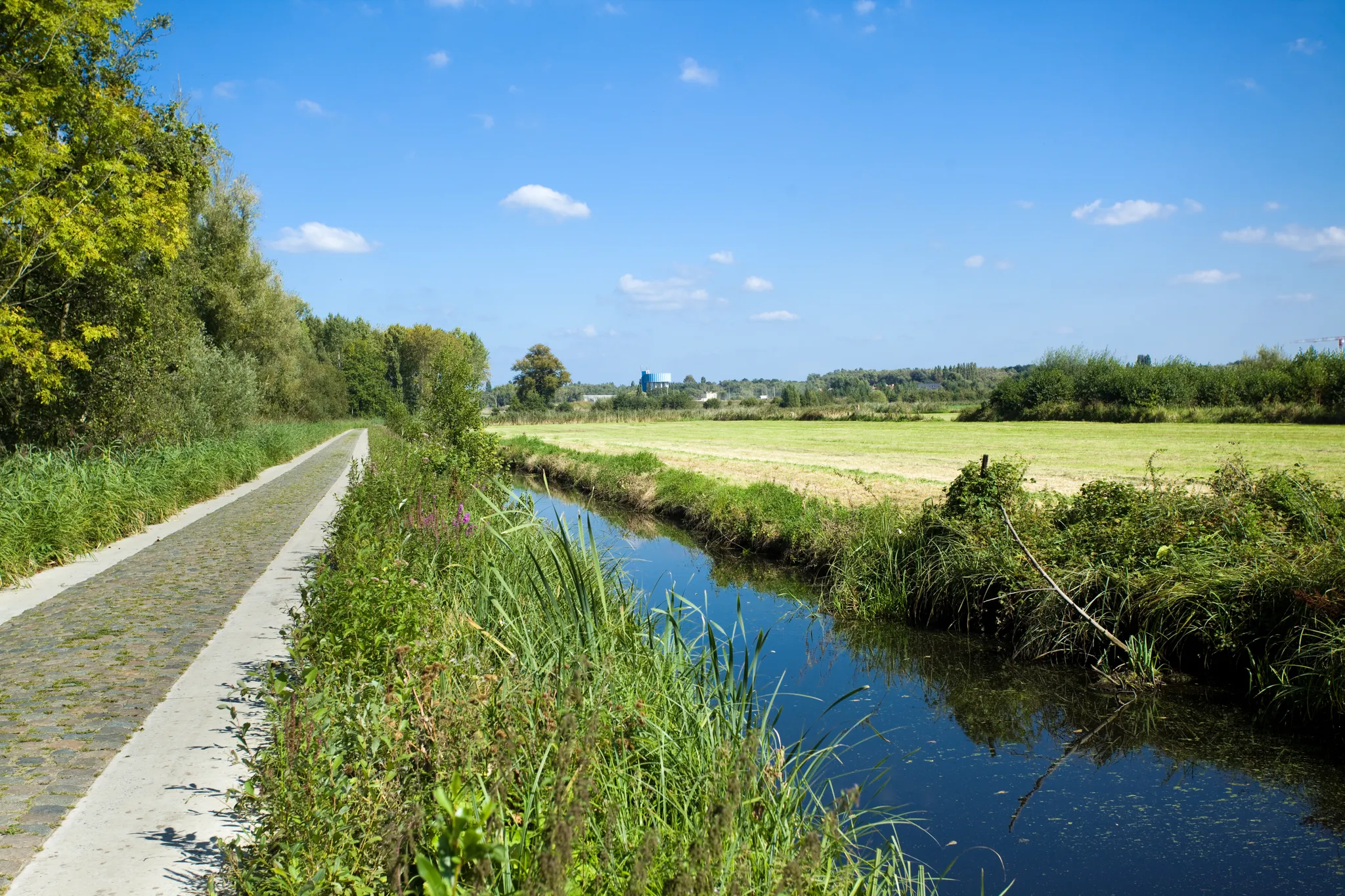
Two days Cycling in the border region – Between de Schelde and Zeeland
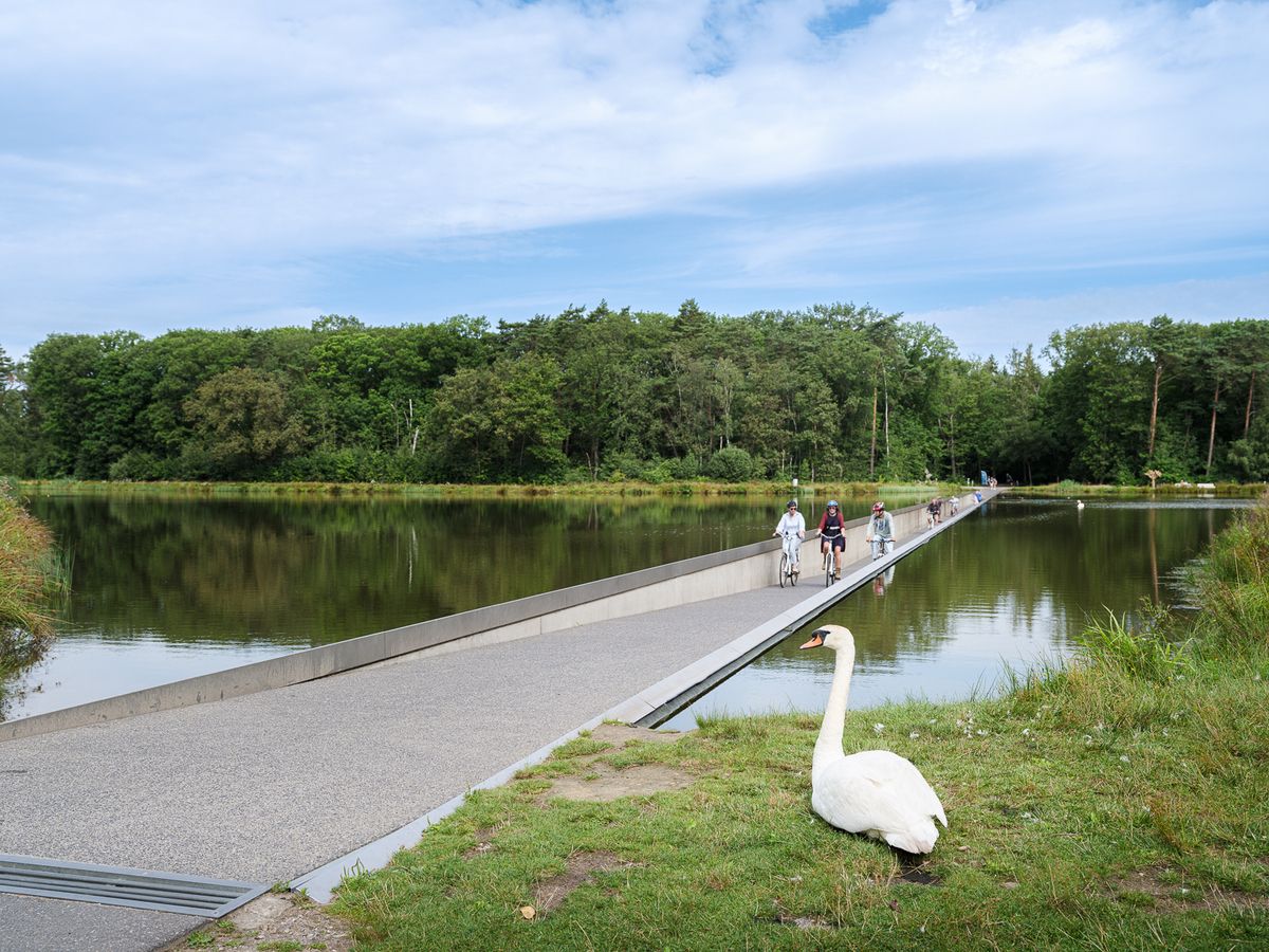
Flanders' Finest Cycle Routes: routes to discover Flemish nature and heritage
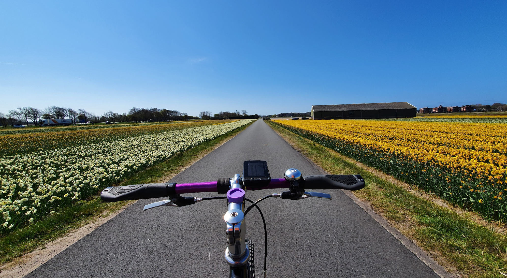
Cycling among flowers – unknown tulip routes in the Netherlands
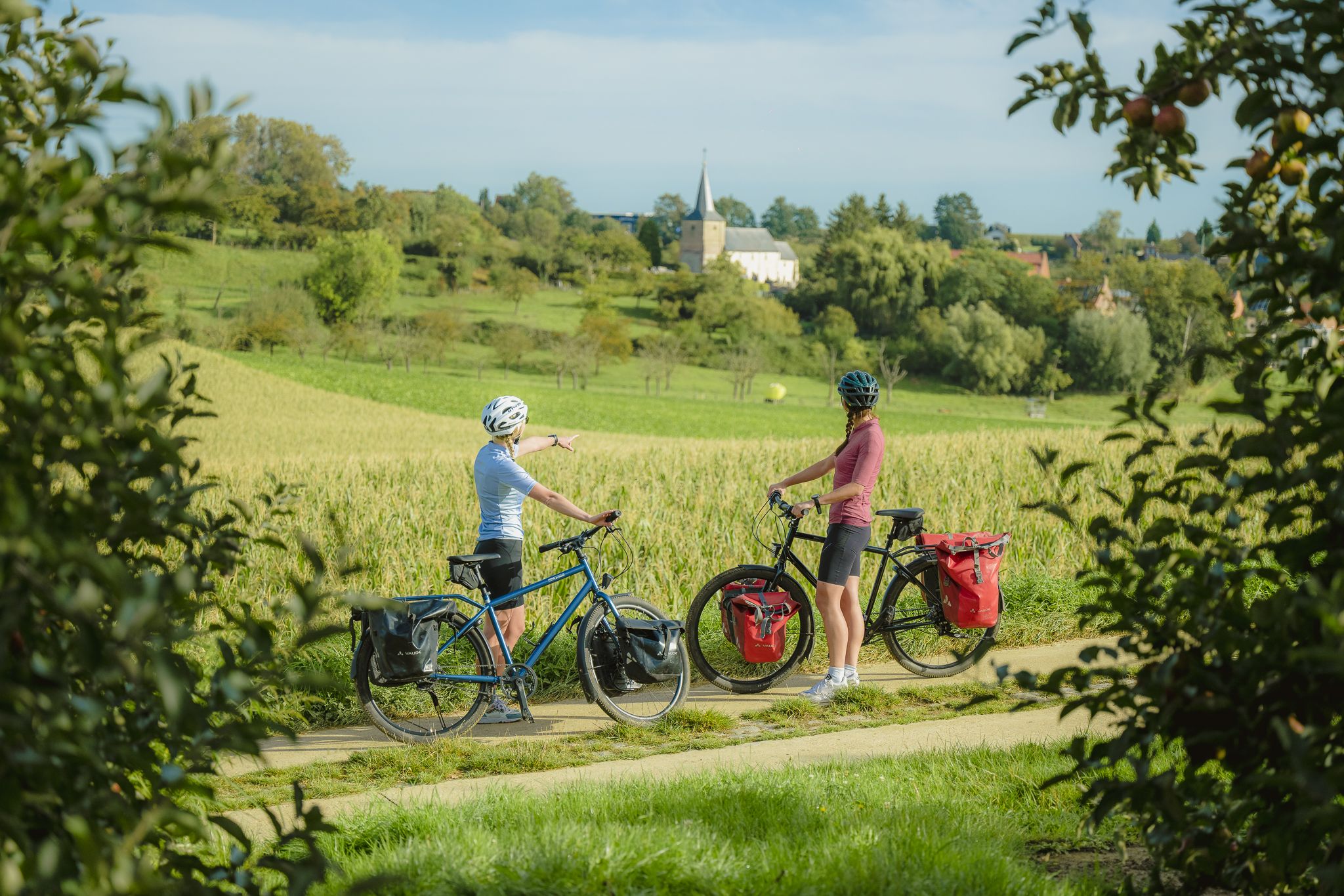
The best of Flanders — the Flanders Route
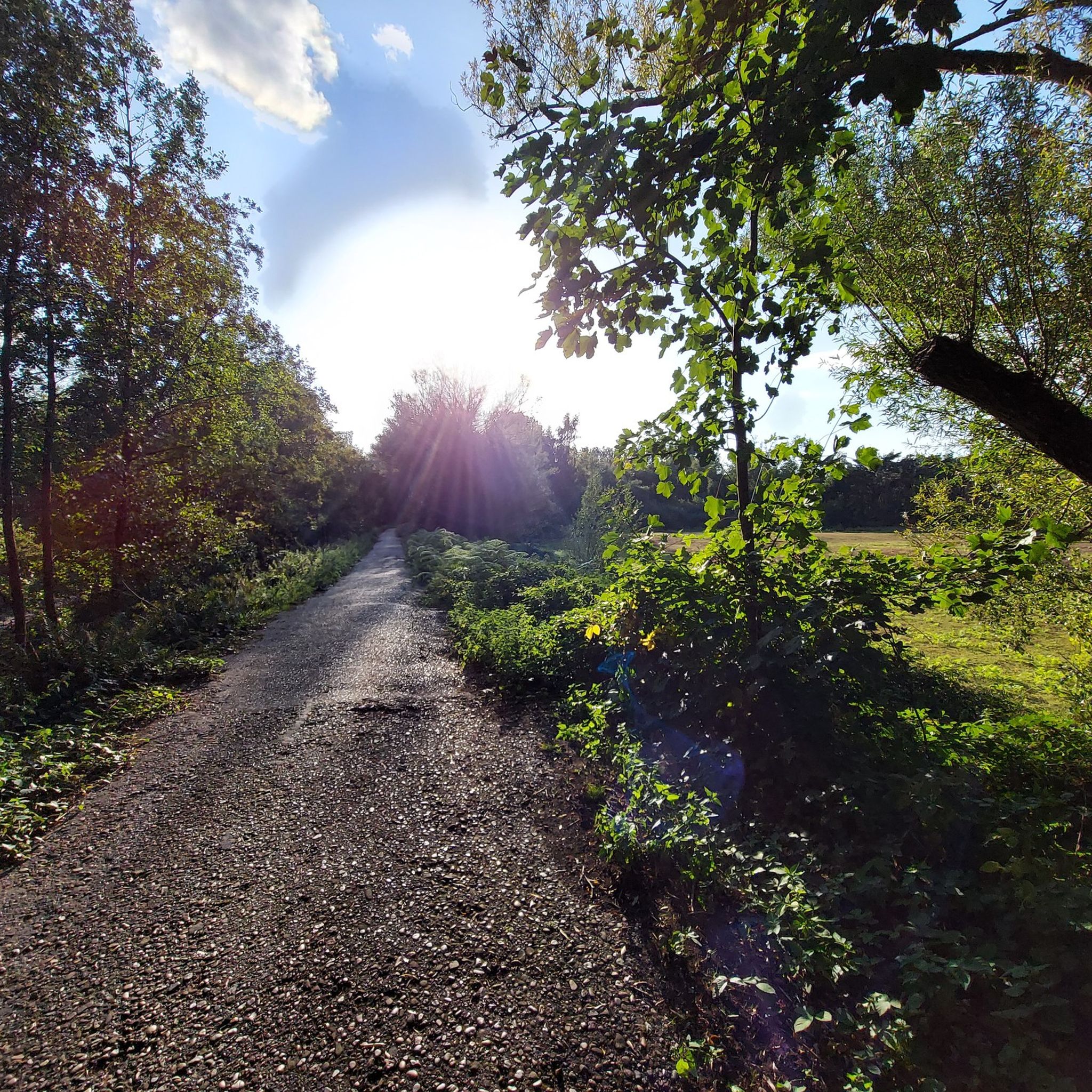
Hiking around Sint-Niklaas
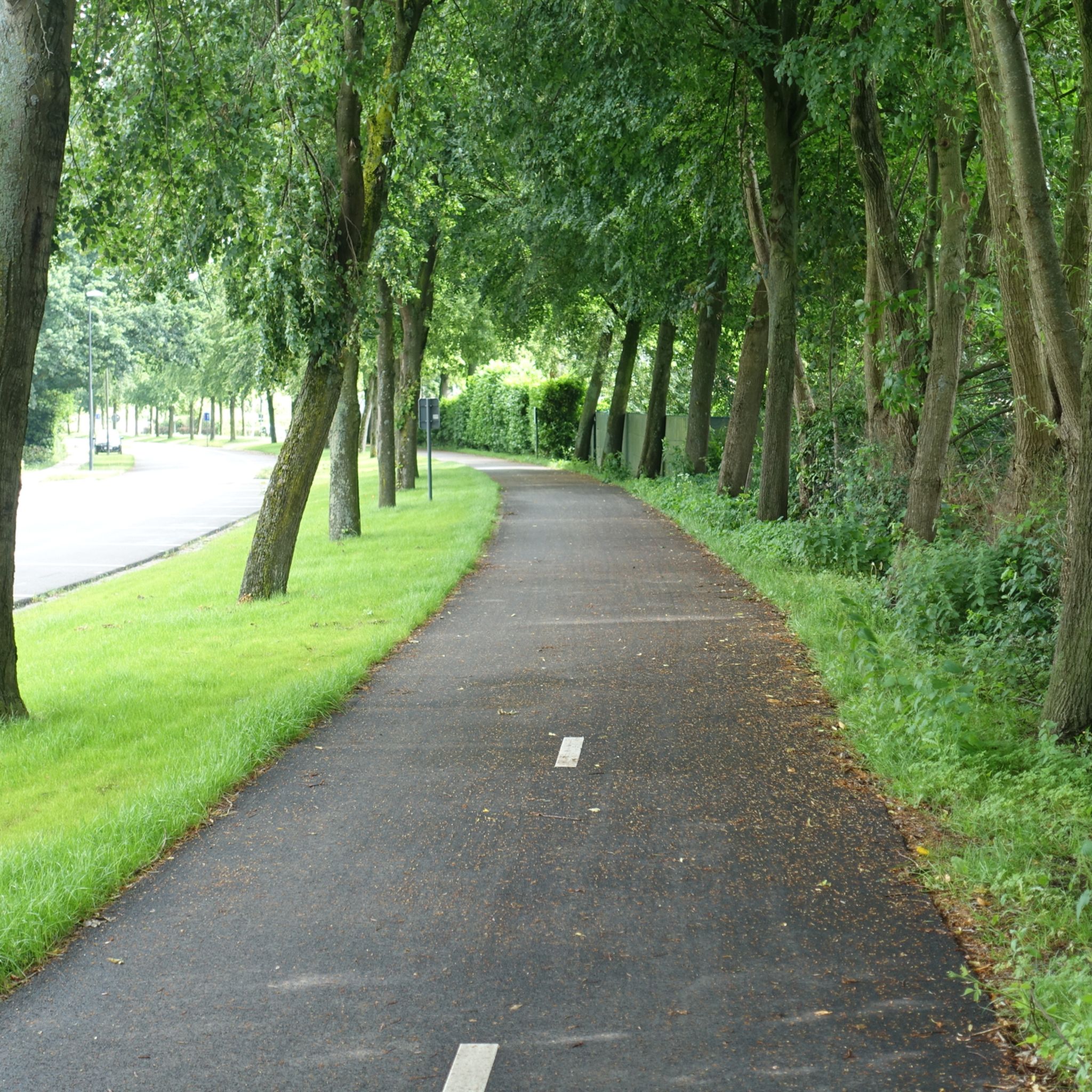
Cycling around Sint-Niklaas
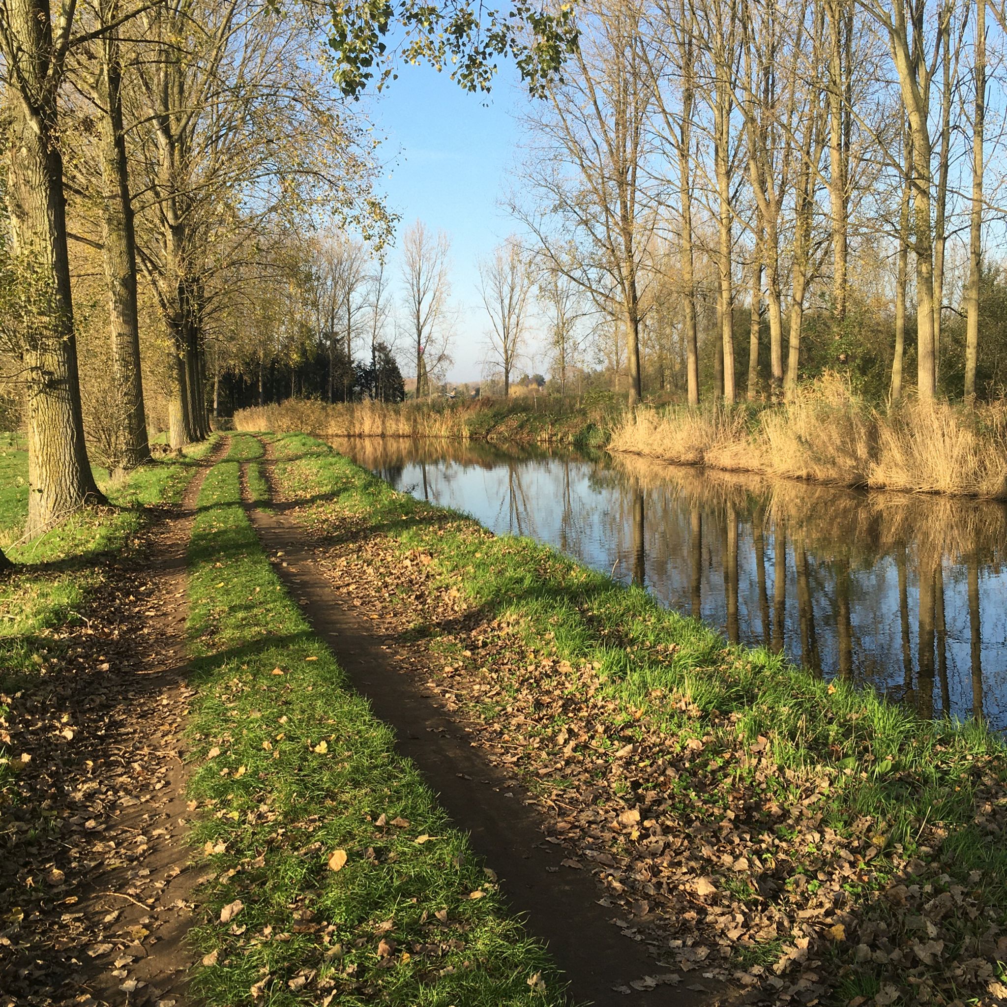
MTB Trails around Sint-Niklaas
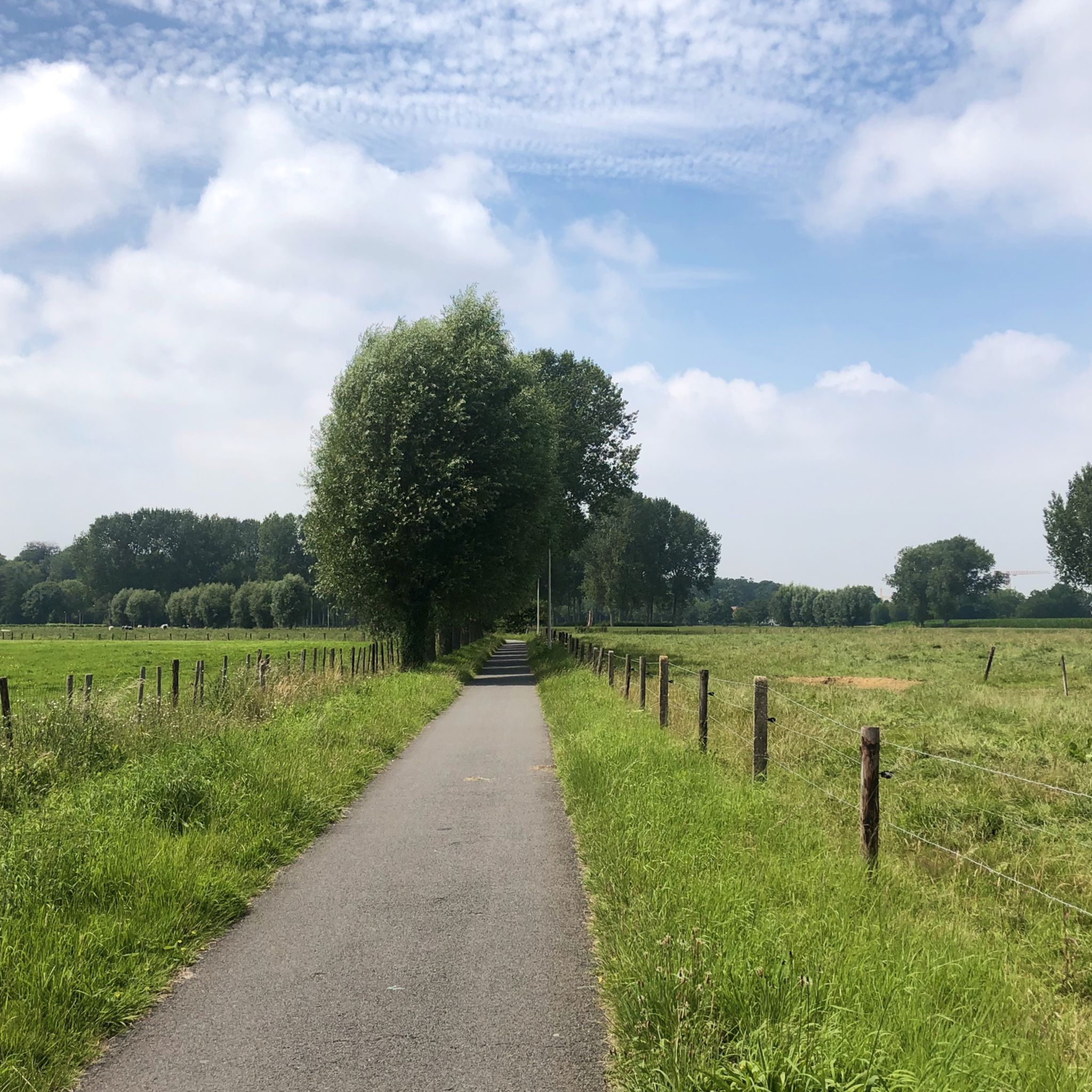
Road Cycling Routes around Sint-Niklaas
Other adventures around Sint-Niklaas


Tips from the Community

The creek area of Saleghem is more than the sum of its parts. The nature reserve consists of the Grote Saleghemgeul on one side, and the Sint-Jakobsgat and the Kieldrechtse Watergang on the other. This triumvirate of water creeks then flows into the Grote Geule in Kieldrecht. Each separately is beautiful, yes. But together they are magical. The succession of gently sloping banks, grassland and hay, rare birds and colourful flowers, rustling reeds and melancholic willows: it silences a person. It inspires awe for the magic of nature. And everyone can enjoy it – even wheelchair users, because there is a special wheelchair walk around the creek lakes. This is what waasland.be writes... and there is nothing to contradict it.
2
0

Descend and take on the challenge of the wet polder...
5
0

Beveren purchased the estate in 1982. It boasts the striking 18th-century neoclassical castle, but the farm, ice cellars, and orangery are also worth a visit. During the Middle Ages, the estate was called "Shaecx" after the oldest residents of the fiefdom, the Noethaeckx family. This is how the place got its name. It was Jean-Baptist Versmessen, chief alderman of the Land van Waas castellany, who laid out the estate in its current form in 1781. The English landscape garden appears in 19th-century illustrations. It remained in the Versmessen family until textile manufacturer Edmond Meert purchased the property. The castle was severely damaged during WWII, leaving only a ruin. Restoration took place between 2004 and 2007, and it is now hoped to restore the interior to its former grandeur.
6
0

single track that requires concentration
0
1

Beautiful domain with a beautiful park. In the summer months on Saturdays and Sundays the terrace is open in the coach house.
3
0


The Hof ter Saksen castle in Beveren is not only dazzlingly beautiful to look at, it is especially the park that is a real eye-catcher. The Hof ter Saksen castle park plays with the senses of the visitor. And the plants are so beautiful and sophisticated that each season gives its own colour, atmosphere and identity. You can stroll there for free from 10 am, in the summer until 8 pm and in the winter until 4.30 pm. Dogs on a leash are only welcome on the designated paths, not in the stream valley, the nature garden and the high-stem orchard. More information at https://www.waasland.be/hof-ter-saksen-0
4
0
Frequently Asked Questions
What are some of the most unique natural monuments to visit around Sint-Niklaas?
Beyond the popular spots, consider exploring the Great Saleghem Channel, a complex creek area with a rich flood history, offering a puzzle of gullies, canals, and basins. Another fascinating site is the Doelpolder North, which showcases a unique blend of natural wetlands and the impact of port development, providing a habitat for migratory birds and wildlife.
Are there family-friendly natural monuments around Sint-Niklaas?
Yes, several natural monuments are great for families. Hof ter Saksen Castle is a public educational nature park with walking paths, an arboretum, and a castle park, perfect for a family outing. The Liefkes Tree is another family-friendly natural monument. Additionally, the City Park (Romain De Vidtspark) in Sint-Niklaas offers a playground and ample space for relaxation, and Recreatiedomein De Ster features a lake, beach, and numerous amenities like a petting zoo and children's playground.
What kind of wildlife can I expect to see in the natural monuments around Sint-Niklaas?
The region's diverse natural areas support various wildlife. In the expansive Polders of Kruibeke, you can observe thousands of meadow and water birds, as well as deer, beavers, and occasionally otters. Areas like the Doelpolder North are also known for migratory birds and other wildlife thriving in protected landscapes.
What historical sites are integrated into the natural monuments of Sint-Niklaas?
Many natural monuments in the area have significant historical connections. The Spanish Line in Stropersbos features remains of a 1701 defense line from the War of the Spanish Succession. The Rupelmondse Kreek — Historic site — Dike breach 1715 was formed by a historic dike collapse and showcases unique hydraulic engineering. You can also find the Haasdonk Fort and the Singelberg Motte (Beveren), both historical sites with natural surroundings.
Are there good hiking trails near the natural monuments around Sint-Niklaas?
Yes, the region offers various hiking opportunities. You can find easy hikes like the Elzenbroekbossen – Scheldedijk loop or the Heather Stropersbos loop. For more options, explore the Easy hikes around Sint-Niklaas guide, which includes routes near several natural areas.
Can I go cycling around the natural monuments in Sint-Niklaas?
Absolutely! The area is well-suited for cycling. Routes like the 'Go with the flow cycling route' or the 'View of the Durme River – Kruibeke Polder Nature Reserve loop' offer scenic rides. For more cycling adventures, check out the Cycling around Sint-Niklaas guide.
What are the best natural features or viewpoints to experience in the Sint-Niklaas area?
The Polders of Kruibeke offer expansive views of mudflats, salt marshes, and alder forests, especially when the water recedes. The Great Saleghem Channel provides picturesque views of its complex creek patterns. Additionally, the Doelpolder North offers unique viewpoints over wetlands and protected landscapes.
Are there any natural monuments suitable for dog walking?
Many natural areas around Sint-Niklaas are dog-friendly, provided dogs are kept on a leash. The City Park (Romain De Vidtspark) is a pleasant green space for walks. Forested areas like Puytvoetbos and Park 'Hof van Belsele' also offer good opportunities for walks with your dog. Always check local regulations for specific areas.
What is the best time of year to visit the natural monuments around Sint-Niklaas?
The natural monuments around Sint-Niklaas can be enjoyed year-round, but each season offers a different experience. Spring brings blooming flora, while summer is ideal for activities at Recreatiedomein De Ster. Autumn showcases beautiful foliage in areas like Stropersbos, and winter can offer tranquil, crisp walks, especially in the Polders of Kruibeke where birdwatching can be excellent.
Are there cafes or places to eat near the natural monuments?
Yes, you can find amenities near several natural monuments. Walburg Castle, located within the City Park (Romain De Vidtspark), houses a café-restaurant. Recreatiedomein De Ster also offers various facilities, including places to eat. For other areas, it's often best to check in nearby towns or villages like Beveren or Kruibeke for local pubs and cafes.
What is the 'Polders of Kruibeke' and why is it significant?
The Polders of Kruibeke is Flanders' largest flood plain, a remarkable natural area resulting from the ingenious Sigma Plan. It was created to protect inhabited areas along the Scheldt River. This expansive landscape features mudflats, salt marshes, and alder forests, serving as a vital habitat for thousands of birds, deer, beavers, and otters. It's a prime example of natural engineering and ecological recovery.
What kind of activities can I do at Recreatiedomein De Ster?
Recreatiedomein De Ster is a 100-hectare site centered around a man-made lake. It's excellent for active recreation and family outings, offering swimming, boating, a beach, a pool, mini-golf, a large children's playground, an inflatable aquapark, trampolines, a petting zoo, water slides, and tennis courts. It's a comprehensive destination for a fun day out.
Most popular routes around Sint-Niklaas
Most popular attractions around Sint-Niklaas

Get inspired with the komoot mobile app


Didn’t find what you were looking for?
Find even more amazing natural monuments around Sint-Niklaas by checking out the top Highlights region by region:
Explore more
Extend your search for the best caves by checking out these guides of the top ones around Sint-Niklaas:
