The best gravel rides around Sint-Niklaas
4.5
(73)
1,450
riders
72
rides
Gravel biking around Sint-Niklaas offers a diverse experience across the Waasland region, characterized by its generally flat yet varied landscape. The terrain includes open polders, forested areas like Clingebos, and paths alongside canals such as the Great Saleghem Channel. While elevations are typically low, some routes feature varied surfaces that contribute to their difficulty. The region's network of gravel paths provides options for different skill levels.
Best gravel bike trails around Sint-Niklaas
- The most popular gravel bike trail is Waasmunster…
Last updated: July 8, 2026
5.0
(2)
242
riders
119km
06:31
430m
430m
Hard gravel ride. Very good fitness required. Mostly paved surfaces. Suitable for all skill levels.
4.8
(11)
245
riders
95.3km
05:04
240m
240m
Hard gravel ride. Very good fitness required. Mostly paved surfaces. Suitable for all skill levels.

Sign up for free
4.5
(8)
45
riders
45.9km
02:52
140m
140m
Moderate gravel ride. Good fitness required. Mostly paved surfaces. Suitable for all skill levels.
4.0
(1)
20
riders
95.7km
05:23
110m
110m
Hard gravel ride. Very good fitness required. Mostly paved surfaces. Suitable for all skill levels.
4.0
(4)
59
riders
Moderate gravel ride. Good fitness required. Mostly paved surfaces. Suitable for all skill levels.
42
riders
49.7km
02:48
50m
50m
Hard gravel ride. Good fitness required. You may need to push your bike for some segments of this route.
31
riders
51.1km
03:10
70m
70m
Hard gravel ride. Good fitness required. You may need to push your bike for some segments of this route.
5.0
(1)
31
riders
Moderate gravel ride. Good fitness required. Mostly paved surfaces. Suitable for all skill levels.
4.7
(11)
30
riders
33.3km
02:06
50m
50m
Moderate gravel ride. Good fitness required. Mostly paved surfaces. Suitable for all skill levels.
50
riders
62.1km
03:48
70m
70m
Moderate gravel ride. Good fitness required. Mostly paved surfaces. Suitable for all skill levels.
Get access to more routes and recommendations from other explorers.
Sign up for free
Already have an account?
Our route recommendations are based on thousands of hikes, rides, and runs completed by other people on komoot.
Start today with a free account
Your next adventure awaits.
Login or Signup
Popular around Sint-Niklaas
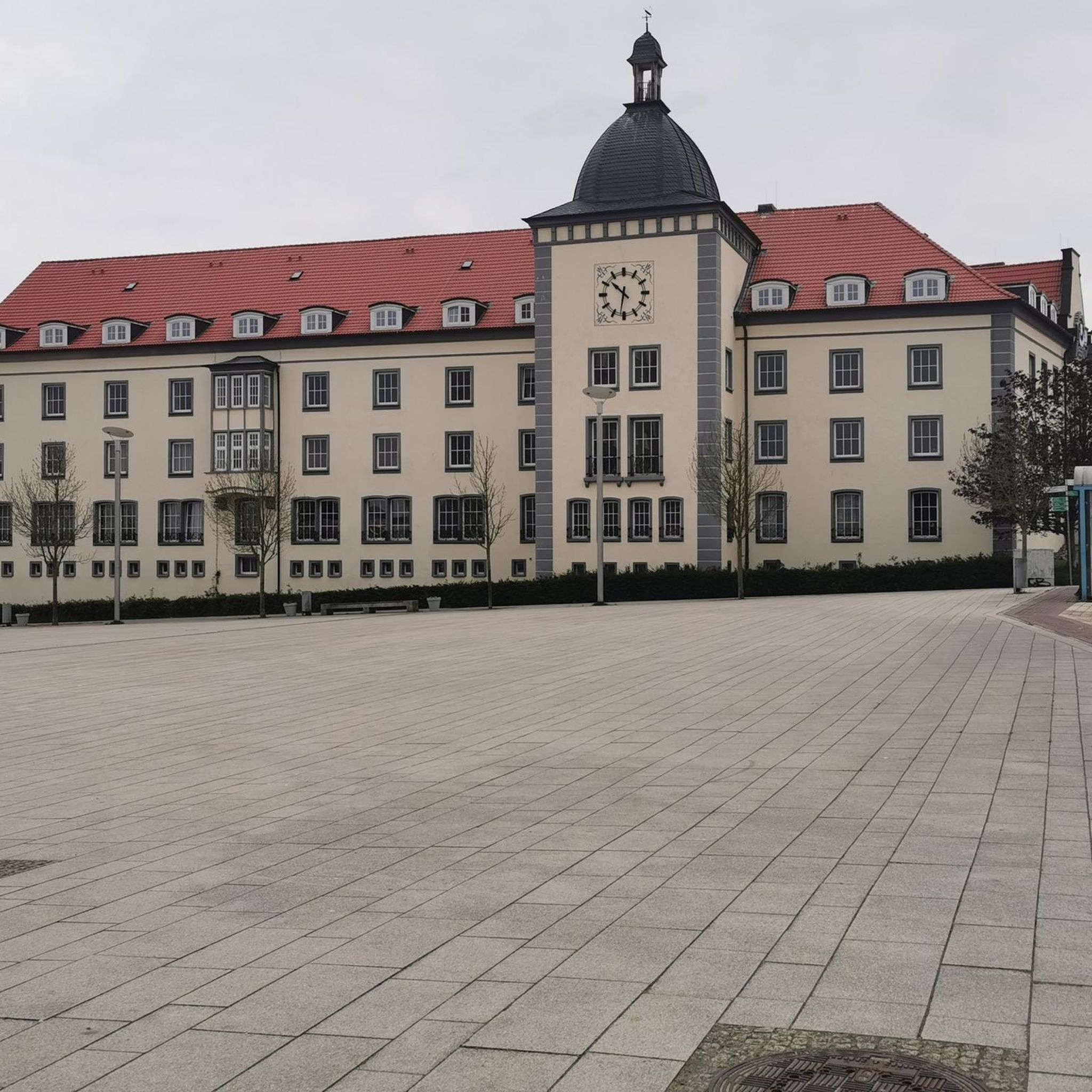
Gravel biking in Polder Van Kruibeke, Bazel En Rupelmonde
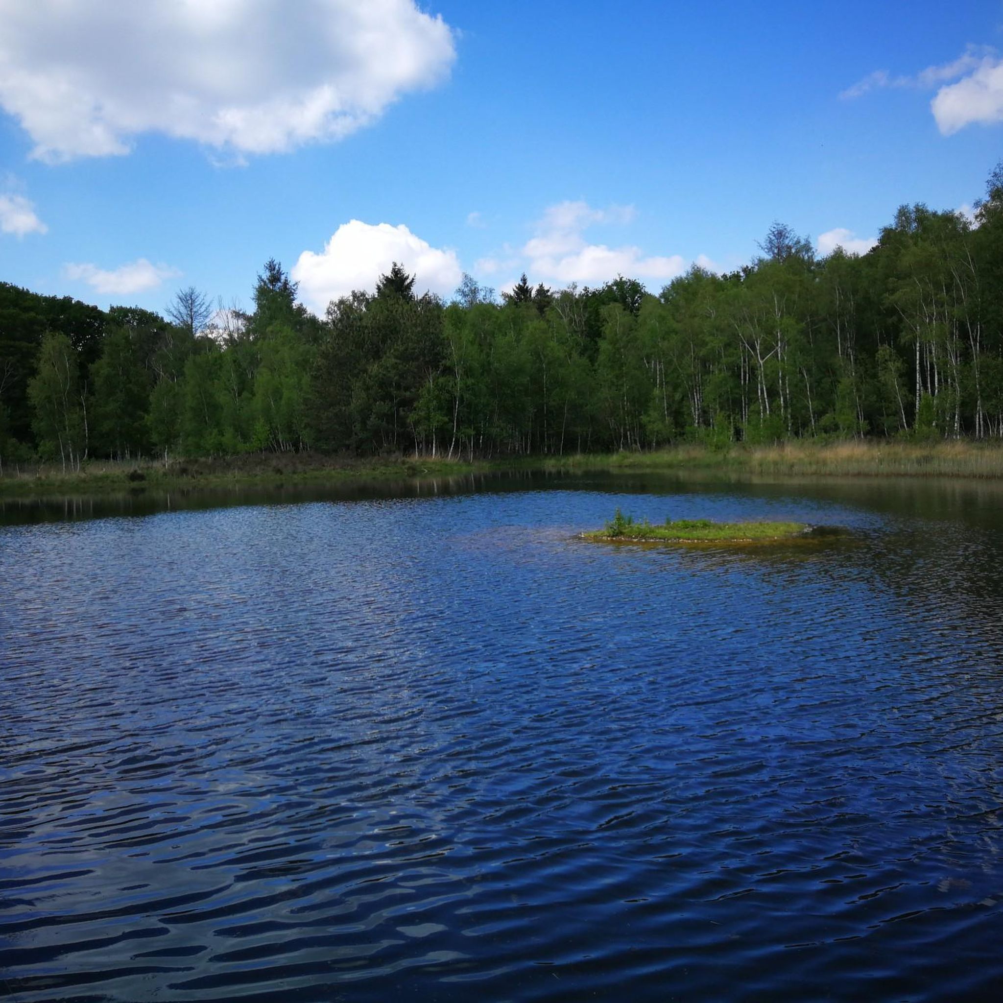
Gravel biking in Brakwaterschorren Langsheen De Schelde Ten Noorden Van Antwerpen

Gravel biking around Sint-Gillis-Waas

Gravel biking in De Linie

Gravel biking around Lokeren

Gravel biking around Stekene

Gravel biking around Beveren

Gravel biking around Temse
Gravel biking in Daknamse Meersen

Gravel biking in Barbierbeekvallei En Bolakkergebied
Other adventures around Sint-Niklaas


Tips from the Community

The creek area of Saleghem is more than the sum of its parts. The nature reserve consists of the Grote Saleghemgeul on one side, and the Sint-Jakobsgat and the Kieldrechtse Watergang on the other. This triumvirate of water creeks then flows into the Grote Geule in Kieldrecht. Each separately is beautiful, yes. But together they are magical. The succession of gently sloping banks, grassland and hay, rare birds and colourful flowers, rustling reeds and melancholic willows: it silences a person. It inspires awe for the magic of nature. And everyone can enjoy it – even wheelchair users, because there is a special wheelchair walk around the creek lakes. This is what waasland.be writes... and there is nothing to contradict it.
2
0
De Kouterwegel was the very first to win the Grage Weg Award, an initiative by the Province of Oost-Vlaanderen, which aims to reward inspiring slow roads that people not only use functionally, but which also invite an experience. De Kouterwegel is part of the Kaboutermolenpad, a special route that distinguishes itself through its pronounced experiential value, according to the award jury, an example of how slow roads can entice people to consciously choose a detour, purely for the sake of the experience. After all, a slow road is more than just a connection between two points. It is a place that stimulates one or more senses, that connects with the environment and that attracts users through its unique character. The Kaboutermolenpad - Kouterwegel succeeds in this, according to the jury, with flying colours. Along the path, playful gnome figures create wonder for young and old. Visitors can stop at a chapel that invites rest and connection, or enjoy a break at a nearby café. The unpaved path is simultaneously barrier-free and accessible to everyone, and is clearly signposted. The route winds through a varied and quiet landscape, where a rich palette of scents and colours constantly stimulates the senses. This is what can be read on pers.oost-vlaanderen.be... a recognisable report, but during my passage I thought: I hope that the prize money from the Grage Weg 2026 will be used to restore the gnome figures, which here and there are in considerable need of repair or beautification.
1
0
The Molenbeek forms part of the northern border of the municipality of Sint-Niklaas with the municipalities of Sint-Gillis-Waas and Stekene. Hydrographically, the Molenbeek belongs to the basin of the Gentse Kanalen. Previously, the Molenbeek originated in the center of Sint-Niklaas, at the site where the Romain De Vidtspark is now located. Nowadays, the stream flows through the entire Sint-Niklaas center from south to north in culverts, to re-emerge on the surface at the edge of Belsele and then flow through Sinaai until it flows into the Stekense Vaart. From that confluence, a path follows the banks of the stream for a considerable distance.
2
0
The wooden arch bridge over the Stekense Vaart, named after Frans Coppens, was receiver-clerk in the municipality of Sinaai for almost a quarter of a century. He played an important role in "de Groote Watering van Sinay", the name given to the project launched by the Boerenbond in 1926. This project was initiated after repeated floods and aimed to make the polders 'dry'. The construction of the pumping station near Hondsnest was one of the first achievements within this project. During the Second World War, the unemployed were employed to clean or widen ditches. Under the impetus of dike reeve Jozef "meester" Maes and... receiver-clerk Frans Coppens (!), major reclamation works were carried out in the 60s, continuing into the following decades. Thus, Hondsnest got a new pumping station in 1975. In the meantime, the watering area had been converted into a polder, pursuant to the polder law of June 3, 1957. source: info file "Polder Daknam-Sinaai"
2
0

On this segment, you will get to know the Stropersbos. A bench awaits you at the heathland restoration area. About the Stropersbos: the Stropersbos is a must-see natural gem with its stately avenues, valuable alder swamp forests, open spaces with heathland, and its large grazers! Together with the adjacent green areas, the Stropersbos forms one of the largest forest and nature complexes in East Flanders. Numerous walking and cycling opportunities allow visitors to discover the Stropersbos.
5
0
On Friday, April 5, 1867, the Spletterenbrug was officially opened. Between Moerbeke and Lokeren, trains stopped in Daknam and Eksaarde. In Moerbeke, travelers could transfer to railway line 77 towards Zelzate or towards Sint-Gillis-Waas. That the intention was to one day double the 9-kilometer railway line to two tracks is still visible on the Spletterenbrug. Both bridge abutments are indeed twice as wide as the bridge deck itself. It never came to that. On the contrary. The railway line suffered during both world wars, causing traffic to be suspended for months. For example, retreating German soldiers blew up the bridge at the end of World War I. Less than a year after the armistice, in September 1919, the line was already restored and trains could run on the route again. In 1940, the Belgian army, in turn, tried to slow down the German advance by destroying the bridge. The bridge was repaired again. In 1971, the last train chugged along the route. After more than a century of train traffic, the tracks were dismantled and the route was redeveloped as a cycling and walking path from Lokeren to Moerbeke. The Spletterenbrug itself was preserved and restored in 2017. The seven layers of paint were removed, and the bridge regained its original, dark gray color. Source: industriecultuur.be
4
0
Daknambrug in Daknam, a sub-municipality of Lokeren. This charming swing bridge over the Durme is located at the site of a former ferry crossing on the old Lille-Tilburg highway. Such a ferry served as a bridge to transport people, livestock, horses, and vehicles. The current swing bridge has replaced a small wooden bridge since the 1930s. At that time, the Durme was straightened here between the confluence of the Zuidlede and Moervaart at Spletterenbrug and the bend near Middendam. In the summer, you can see the bridge keeper opening the bridge to let pleasure boats pass, sailing to or from Lokeren.
5
0
Opened on October 1, 2012, the Brug Ter Beuken provides a safe and green connection to the city center. It has since become a fixed landmark in the landscape: the beautiful red cycle and footbridge that spans the Durme at the end of Vijgenstraat. The bridge is 21m long. Source: axiradio.be
4
0
Frequently Asked Questions
What kind of terrain can I expect on gravel bike trails around Sint-Niklaas?
The Waasland region around Sint-Niklaas is generally flat but offers a varied landscape. You'll encounter open polders, forested sections like the Clingebos, and paths running alongside canals such as the Great Saleghem Channel. While elevations are typically low, some routes feature varied surfaces that contribute to their difficulty, ranging from moderate to challenging sections where you might need to push your bike.
Are there any challenging gravel bike routes in the Sint-Niklaas area?
Yes, there are several challenging routes for experienced gravel bikers. For instance, the Great Saleghem Channel – Stekense Canal loop from Melsele is a difficult 96.1 km path that follows canal paths and includes demanding gravel sections. Another challenging option is the View of Temse bridge – Waasmunster Singletracks loop from Temse, which covers 52.2 km.
What natural features or landmarks can I see along the gravel bike trails?
The routes offer diverse natural beauty and points of interest. You can explore the unique landscape of the Polders of Kruibeke, Flanders' largest flood plain, known for its mudflats, salt marshes, and abundant wildlife. The Clingebos Forest Path – The Koningsdijk loop from Nieuw Namen takes you through a reforested area. You might also encounter historical sites like Fort Steendorp or Wissekerke Castle on routes that pass through the wider region.
Are there any family-friendly gravel biking options near Sint-Niklaas?
While specific 'family-friendly' designations are not always explicit, the generally flat nature of the Waasland region makes many routes accessible. Look for routes described as 'moderate' or those that stick to wider, well-maintained paths. The Clingebos Forest Path – The Koningsdijk loop from Nieuw Namen, for example, offers a moderate ride through a forested environment that could be suitable for families with some cycling experience.
What do other gravel bikers enjoy most about the trails around Sint-Niklaas?
The gravel biking routes around Sint-Niklaas are highly rated by the komoot community, with an average score of 4.4 stars from over 70 reviews. Riders often praise the varied terrain, which includes open polders, canal-side paths, and forested sections, ensuring a diverse and engaging experience. The accessibility of the region for different skill levels is also frequently highlighted.
Can I find routes that feature singletrack sections for gravel biking?
Yes, the area offers routes with dedicated singletrack sections. The Waasmunster Singletracks – Waasmunster Bike Park loop from Lokeren is a popular 52.8 km moderate trail known for its varied singletrack. Another option is the Singletrack Near Puivelde – Waasmunster Singletracks loop from Sint-Niklaas, which also incorporates singletrack for an off-road experience.
What is the best time of year to go gravel biking in Sint-Niklaas?
The generally flat landscape of the Waasland region makes it suitable for gravel biking throughout much of the year. Spring and autumn offer pleasant temperatures and beautiful scenery. While winter riding is possible, be prepared for potentially muddy or wet conditions, especially on unpaved sections. Summer can be enjoyable, but remember to stay hydrated on longer rides.
Are there any routes that follow canals or rivers?
Absolutely. The region is characterized by its waterways. The Great Saleghem Channel – Stekense Canal loop from Melsele is a prime example, offering a challenging ride along canal paths. You can also explore the Great Saleghem Channel itself, which is a notable natural feature in the area.
How many gravel bike trails are available around Sint-Niklaas?
There are over 80 gravel bike trails available around Sint-Niklaas on komoot, offering a wide range of options for different skill levels and preferences. This includes 13 easy routes, 55 moderate routes, and 21 difficult routes, ensuring there's something for everyone.
Are there any routes that explore the Polders of Kruibeke?
Yes, the unique landscape of the Polders of Kruibeke is a significant highlight in the region. While not explicitly listed as a starting point for a gravel route in the provided data, many routes in the wider Waasland area will pass near or through this extensive flood plain. The Polders of Kruibeke is a key natural attraction to look out for.
Can I find routes that are primarily loops?
Most of the gravel bike routes around Sint-Niklaas are designed as loops, allowing you to start and end at the same point. Examples include the Ter Beuken Bicycle Bridge – Liniewegel Singletrack loop from Lokeren and the Moervaart Towpath – Moervaart Towpath in Moerbeke loop from Lokeren, both offering circular journeys through varied landscapes.
Are there any routes that pass by historical castles?
While the focus is on gravel biking, some routes in the broader Waasland region might bring you close to historical sites. For example, Cortewalle Castle and Hof ter Saksen Castle are notable castles in the vicinity that could be incorporated into a longer ride or visited as a detour.
Most popular routes around Sint-Niklaas
Most popular attractions around Sint-Niklaas

Get inspired with the komoot mobile app


Didn’t find what you were looking for?
Check out more Gravel rides throughout Sint-Niklaas below and find the perfect route in your destination.
Explore more
Browse the best Gravel rides in other regions.
