Top 20 Natural Monuments around Mechelen
Best natural monuments around Mechelen provide a variety of natural landscapes, including wetlands, forests, and riverine areas. The region features diverse ecosystems, offering opportunities for relaxation and wildlife observation. These natural spaces are integrated into the historical and architectural context of Mechelen, providing green escapes near the city.
Best natural monuments around Mechelen
- The most popular natural monuments is Kesselse Heath, a forest area that features a mix of scrub heather, coniferous and deciduous forest, sandy plains, and fens.…
Last updated: August 22, 2026
Kesselse Heath
Highlight • Forest
Translated by Google •
Tip by

Confluence of the Dijle and Nete = Rupel
Highlight • River
Translated by Google •
Tip by

Sign up now to discover places like this
Get recommendations on the best single tracks, peaks, & plenty of other exciting outdoor places.
Sign up for free
Mispeldonk Nature Reserve
Highlight • Natural
Translated by Google •
Tip by
Kruiskensberg Pilgrimage Site
Highlight • Religious Site
Translated by Google •
Tip by

Geographical Center of Flanders
Highlight • Monument
Translated by Google •
Tip by
The Putten van Lacourt
Highlight • Lake
Translated by Google •
Tip by

Zellaer Castle
Highlight • Castle
Translated by Google •
Tip by
Zennegat Flood Area
Highlight • Natural Monument
Translated by Google •
Tip by
Beautiful view of Hof te Melis
Highlight • Castle
Translated by Google •
Tip by
Corner plane tree at Hof Ter Laken
Highlight • Natural Monument
Translated by Google •
Tip by

Sign up for free to discover even more natural monuments around Mechelen.
Sign up for free
Already have an account?
Start today with a free account
Your next adventure awaits.
Login or Signup
Popular around Mechelen
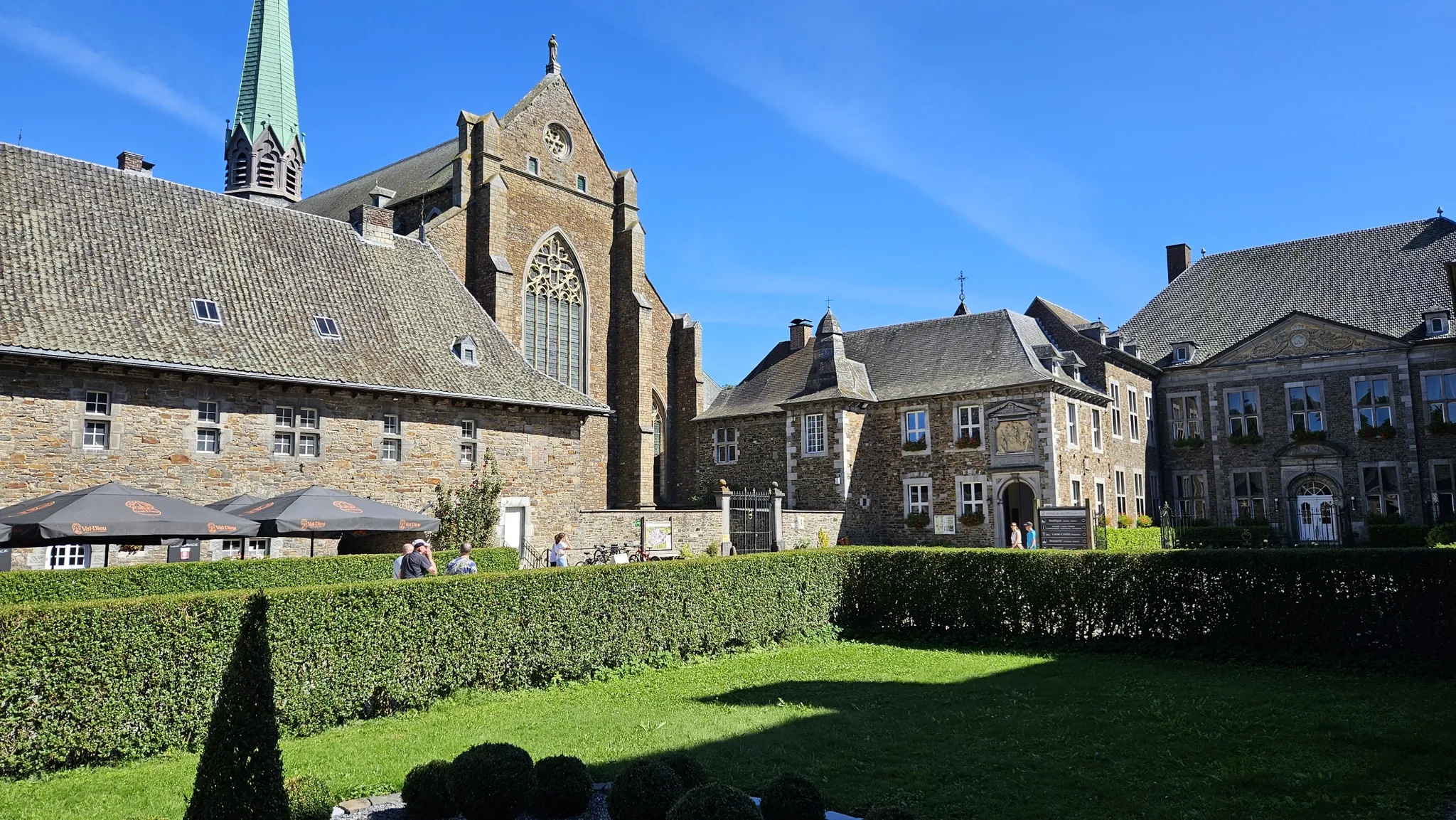
Trappist abbeys cycle route – Between beers and heritage
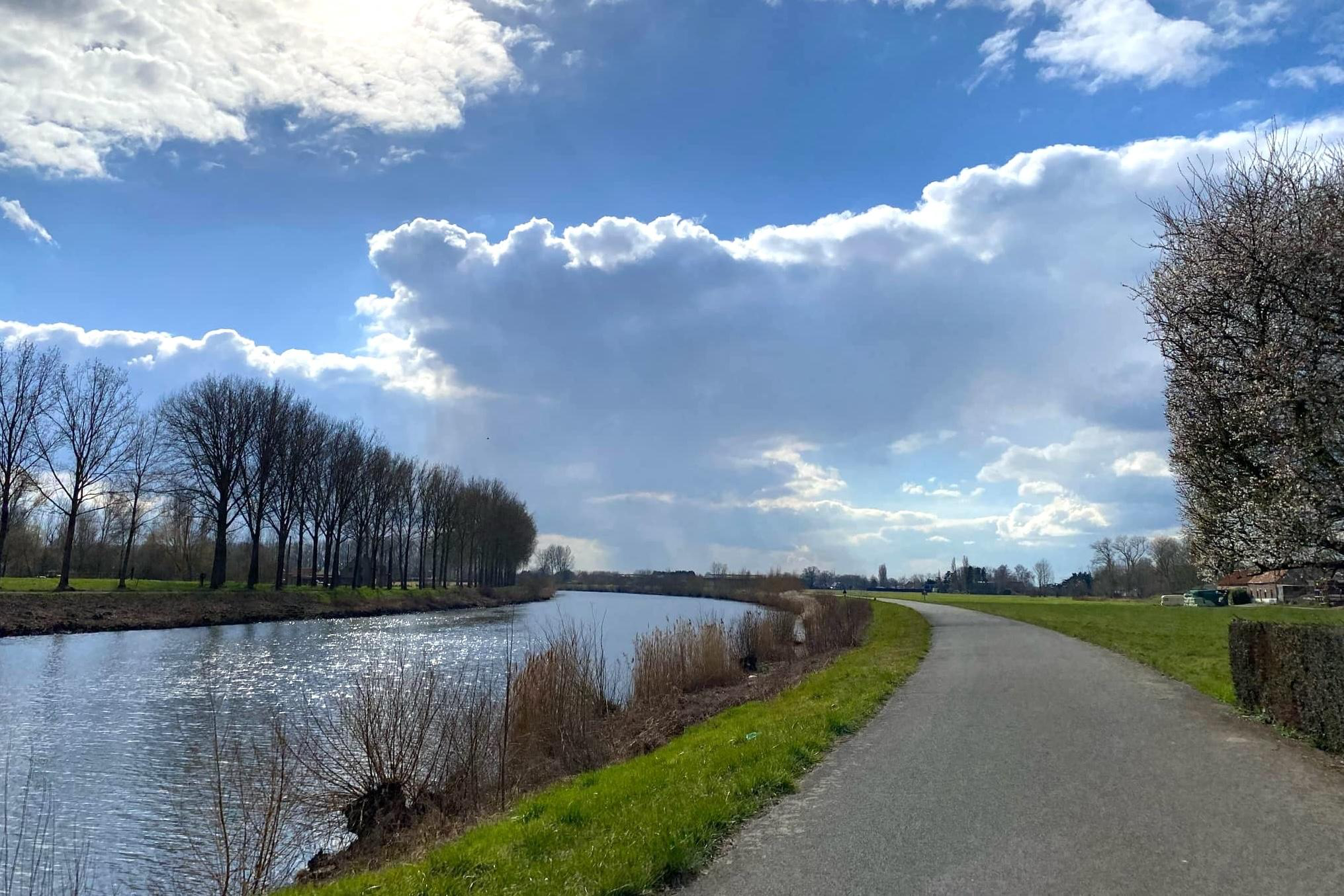
Three days of pure cycling pleasure from Spiere to Zandvliet – Schelderoute
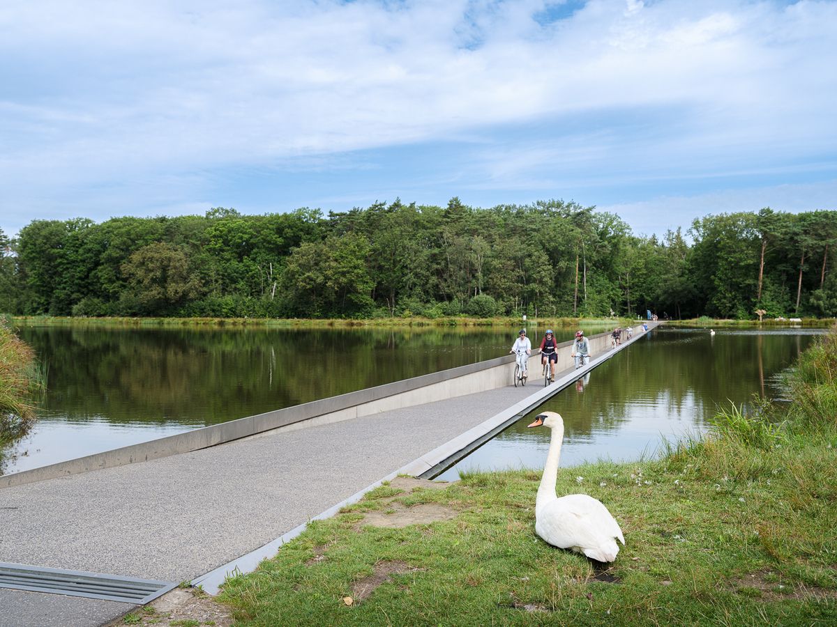
Flanders' Finest Cycle Routes: routes to discover Flemish nature and heritage
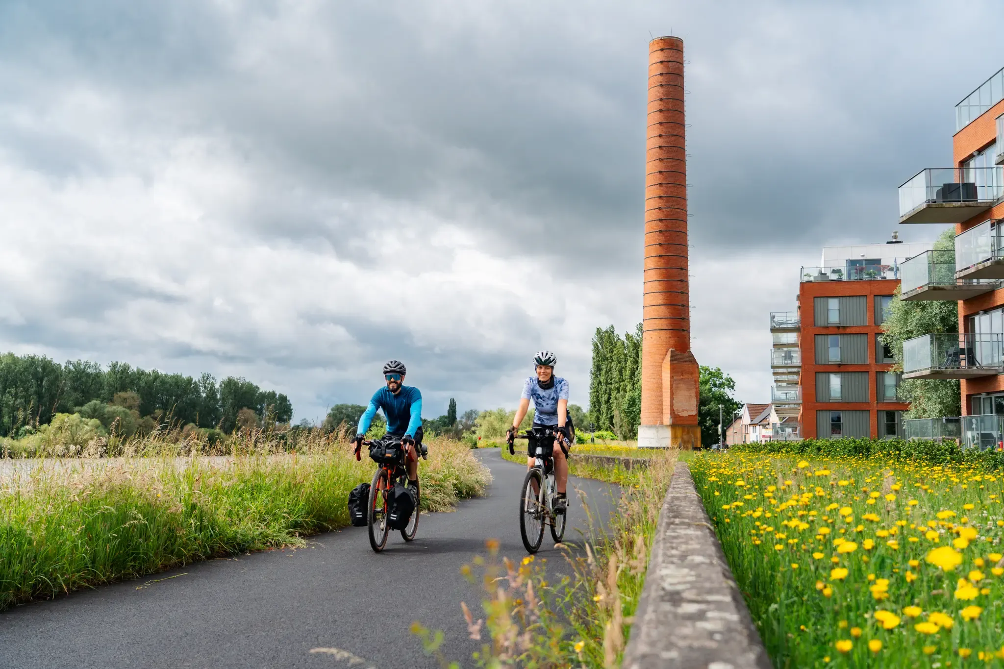
Fries, nature and beer – experience Flanders by bike
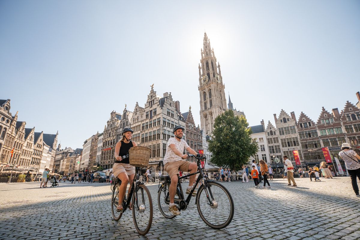
Flanders' Finest Cycle Routes: routes around the Flemish art cities
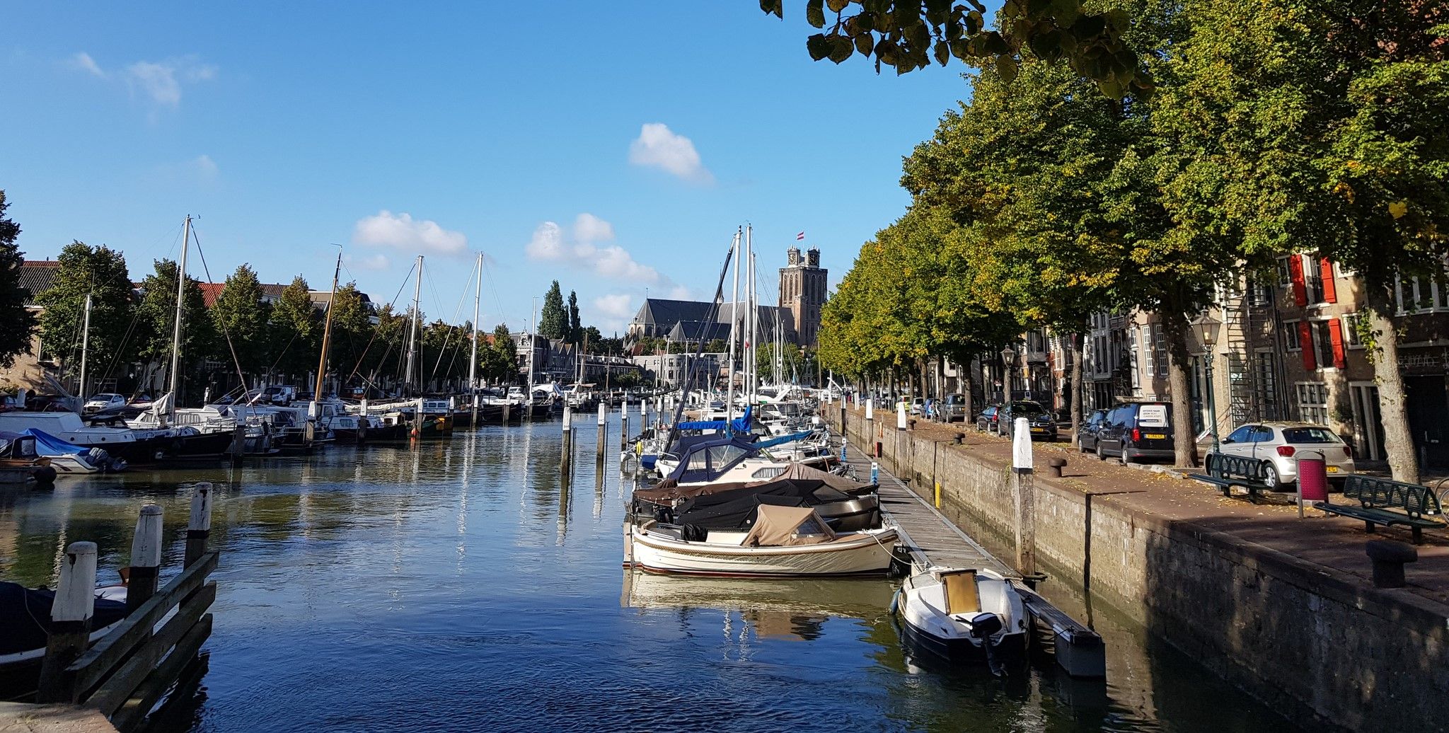
From canals to the Grote Markt – Stedenroute (City Route)
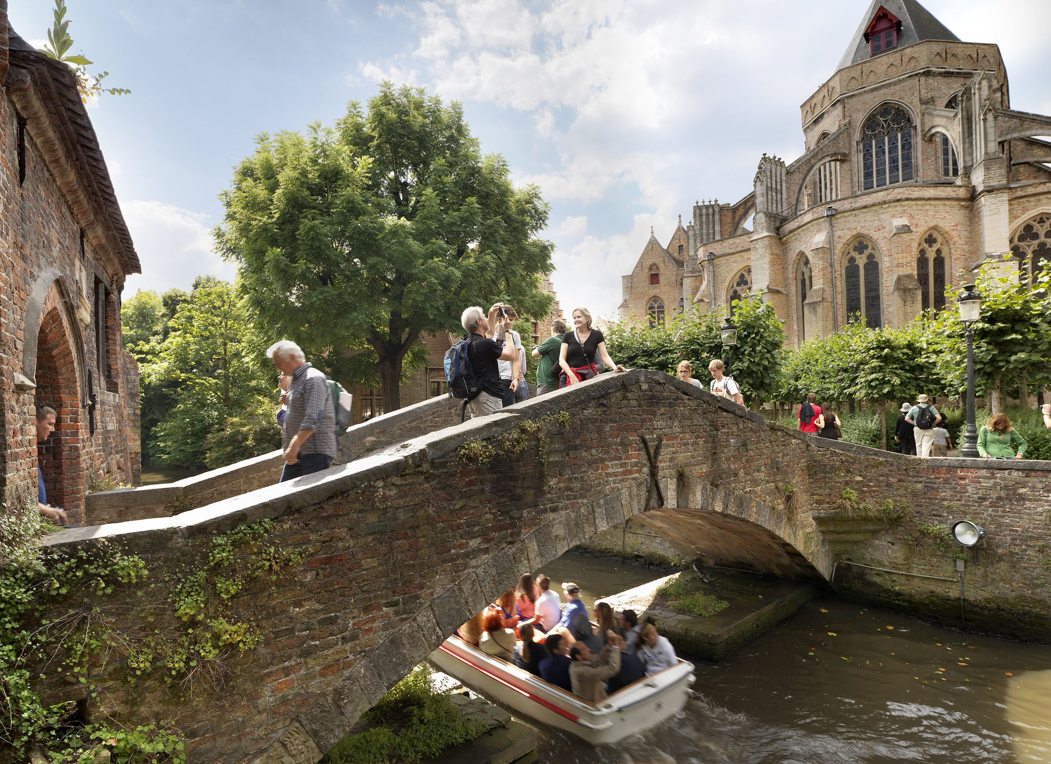
10,000 steps through Flanders' Art Cities
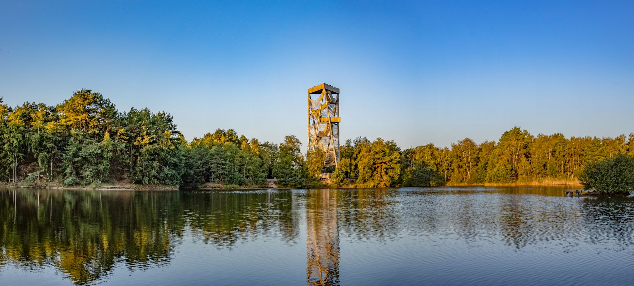
Art, culture and more – hiking in Belgium’s Flanders
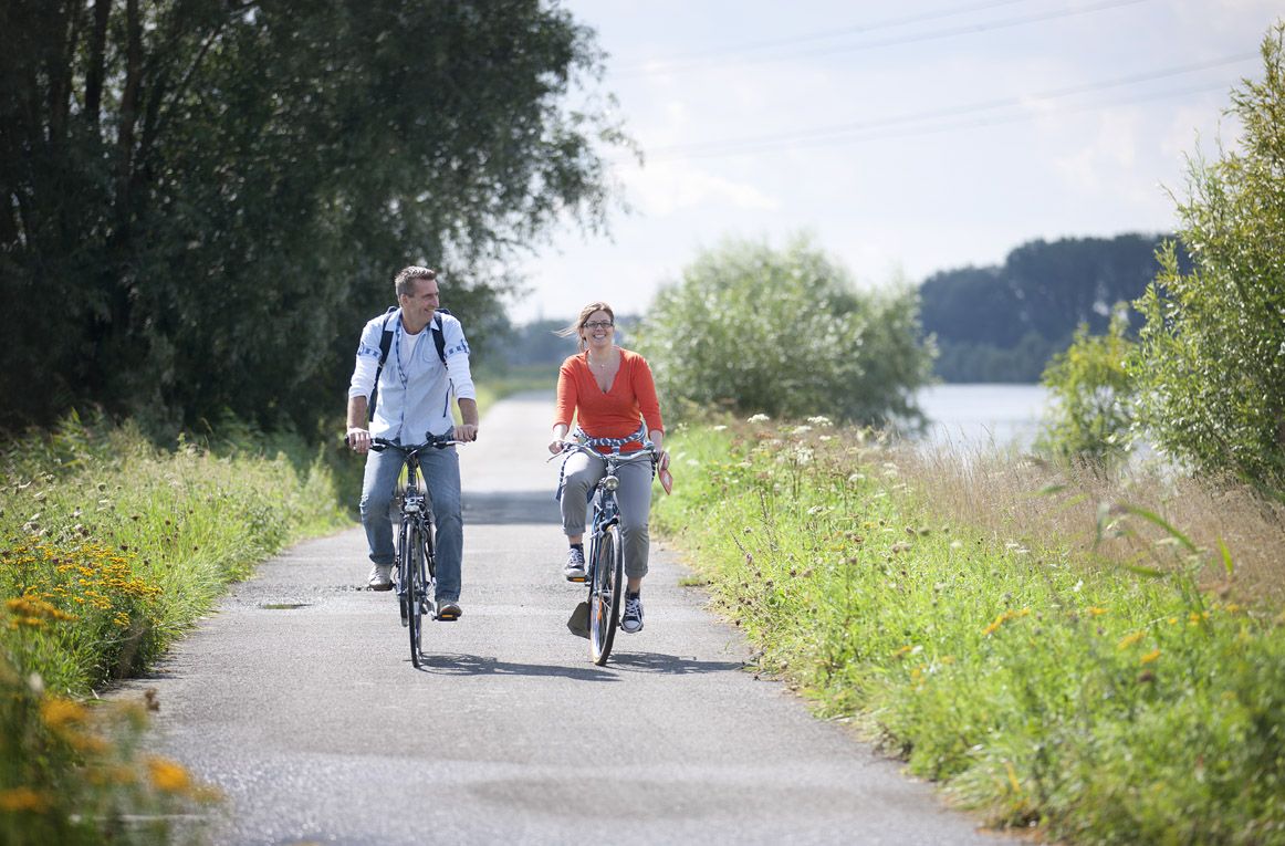
Flanders by bike: cycling along the water
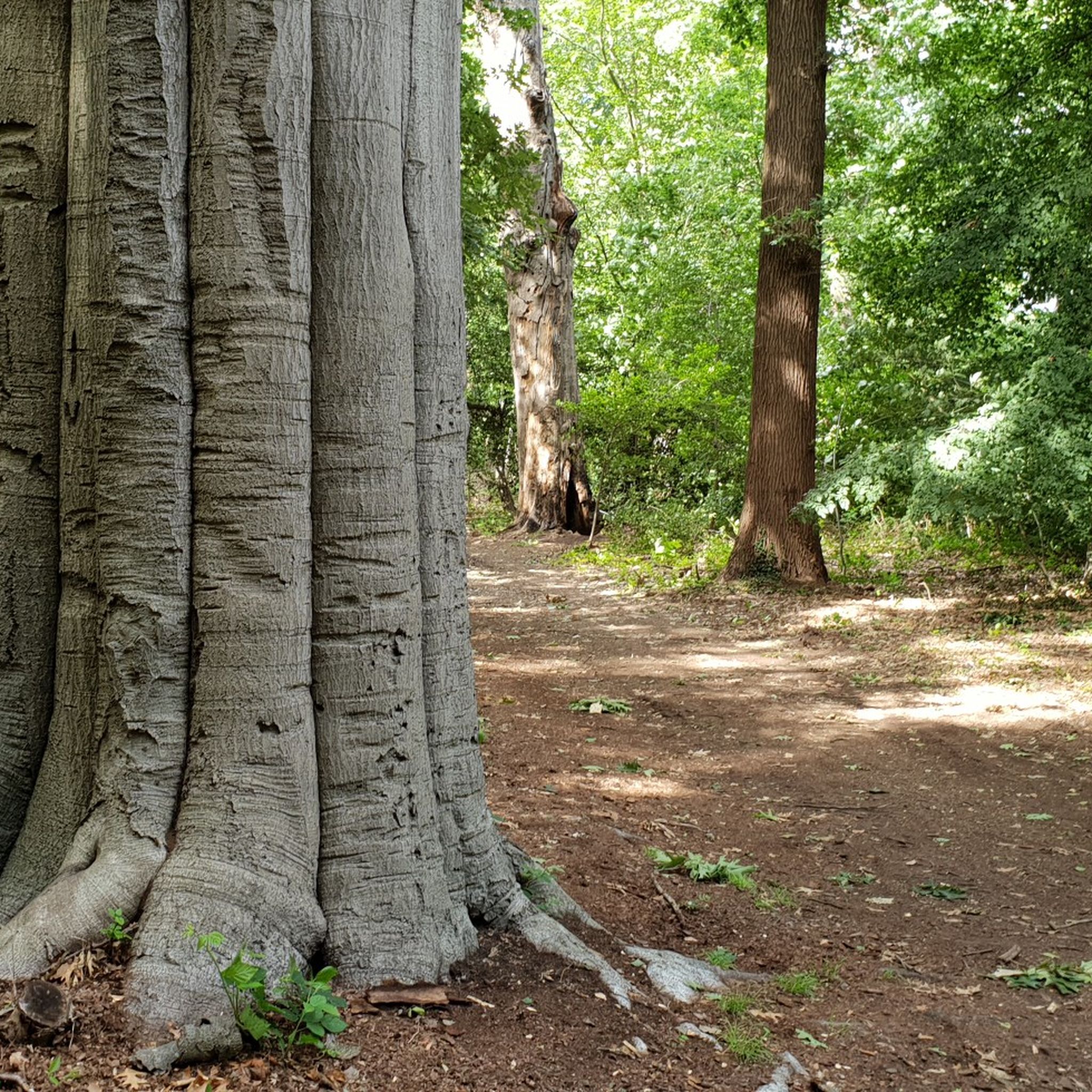
Hiking around Mechelen
Other adventures around Mechelen


Tips from the Community

The Kesselse Heide is a provincial green space covering 79 hectares, 61 of which are open to the public. The initial acquisition took place in 1978, and it has been expanded since then. The entrance is located in Nijlen, at Vaerestraat 4. The space is freely accessible daily from sunrise to sunset. There are two ponds in the area. These old wells not only provide a pleasant change of scenery but are also a boon for the many plants and animals. Since 1996, the Kesselse Heide has been a protected landscape. It is one of the few remaining remnants of the once vast Kempen heathlands. The heath is a living community created in our region by humans. Historical agricultural practices created a landscape that has been preserved through human intervention: grazing by sheep, burning the heath, and sod cutting. Sod cutting is the removal of the topsoil and vegetation. A dug-out sod of plants and their roots is a sod. If heathland is left untreated, it will evolve into oak and birch forests, and the typical species associated with a heathland habitat will disappear. In the mid-19th century, the Kesselse Heide—like many other parts of the Kempen region—was afforested with Scots pine, a valuable timber for mining. However, during both World Wars, these sod-covered forests were felled, and from then on, the heathland was able to expand again. Current management consists of removing trees and mechanically cutting sods to give the open heathland every chance to thrive. https://youtu.be/NoPf0HSeFz8
6
0

The Kesselse Heide-Het Goor area consists of a variety of nutrient-poor meadows, pastures, marshes, and ponds, bordered and crisscrossed by enclosed landscape types, and contains numerous landscape elements. The area is characterized by a richly varied and sometimes rare flora. Several historic farm buildings can be found within the area. The Kesselse Heide-Het Goor area, with an area of approximately 2,620 hectares, is located between the villages of Nijlen and Kessel, north of the Lier-Herentals road. The northern border of this area is along Vogelzangstraat, the eastern border along Achterbist, Kannaertsstraat, and Goorstraat. The Grote Steenweg forms the southern border, and the western border is formed by Heidestraat and Vaerestraat. The landscape includes the following topographical areas: "Kannaerdsche Heyde," "Kesselse Heide," "Mol Heide," "Achterbiest," "Het Hoog Bosch," "De Hooge Heide," "Het Armveld," "De Schommers" or "Vissen Eynde," "Het Goor," "Het Goorkasteel," and "Hoge Heyde." Several streams traverse the area, specifically the Goorkantloop, the Elstbeek, the Paddenloop, Blauwe Hoekloop, and the Visbeek. The elevation within the area varies from approximately 5 meters +TAW to approximately 10 meters +TAW. Inventory of Immovable Heritage: Kesselse Heide-Het Goor, https://id.erfgoed.net/erfgoedobjecten/302886
7
0

Simply beautiful castle and forest
2
1


This plane tree was planted on the corner of the Ter Laken estate. Filming for the movie "Pallieter" was also done here.
2
0
Another castle that can be called a castle...
2
0

It is good to know where the center is in Flanders. Well, this is not the political center of Flanders, but the geographical center.
5
1

The geographical centre of Flanders was determined by students of the Faculty of Applied Sciences of the University of Leuven. Using GPS measurements and with the help of mathematics teacher Prof. Theo Van der Waeteren, the centre was determined in 1999: it is located in the far corner of East Flanders, a few dozen metres from the previously determined "three-province point" (East Flanders, Antwerp and Flemish Brabant). Just a few metres from the territory of Sint-Amands, it is just in Opdorp, a sub-municipality of Buggenhout. The coordinates are: 51° 2′ 16″ N, 4° 14′ 26″ E. A monument was placed at this point in 2003.
2
0
Frequently Asked Questions
What types of natural landscapes can I explore around Mechelen?
Mechelen offers a diverse range of natural landscapes. You can explore expansive wetlands like Mechels Broek and Zennebeemden, which are rich in birdlife. There are also varied forests such as Kesselse Heath with its unique heath vegetation, and riverine areas like the Confluence of the Dijle and Nete = Rupel.
Are there family-friendly natural monuments in the Mechelen area?
Yes, several natural monuments are great for families. Vrijbroekpark features playgrounds and an award-winning rose garden. Tinel Park also offers natural play areas and a panna cage for children. Many areas, including Mispeldonk Nature Reserve and Zennegat Flood Area, have easy walking paths suitable for all ages.
What kind of wildlife can I expect to see in Mechelen's natural monuments?
The natural monuments around Mechelen are havens for wildlife. Mechels Broek is a significant bird paradise, especially for water birds, and you might spot species like bluethroats and ospreys. Zennebeemden is home to birds of prey such as buzzards and peregrine falcons, and even mammals like foxes and stone martens. Storks are frequently seen in the grasslands of Zennebeemden in spring.
Are there historical elements integrated into the natural monuments?
Absolutely. Zellaer Castle is a castle domain with an extensive park featuring historical elements like a moat and avenues, protected as a landscape. Tinel Park, situated in the city center, connects historical sites and has roots as part of the Predikheren monastery. The Botanical Garden (Kruidtuin) also has a rich history, originating as a garden of a former 'commanderij' in the Middle Ages.
What are some popular walking and hiking routes near these natural monuments?
You can find many walking and hiking routes. For easy walks, consider routes like '10,000 steps in Mechelen' or 'Broek De Naeyer and Biezenweiden Loop'. The 'Molenberg Trail' is another popular choice. For more options, explore the Easy hikes around Mechelen guide.
Can I bring my dog to the natural monuments around Mechelen?
Many natural areas around Mechelen are dog-friendly, but it's always best to check specific regulations for each location. Generally, dogs are welcome on leash in most provincial parks and nature reserves, allowing you to enjoy walks with your canine companion.
What is the best time of year to visit the natural monuments in Mechelen?
The best time to visit depends on what you wish to experience. Spring (March-May) is ideal for birdwatching in wetlands like Mechels Broek and for seeing early bloomers in Zennebeemden. Summer (June-August) is perfect for enjoying the rose garden at Vrijbroekpark and leisurely strolls. Autumn (September-November) offers beautiful foliage, especially in forested areas like Kesselse Heath.
Are there any lesser-known natural gems or hidden spots worth visiting?
Beyond the well-known spots, consider exploring Den Battelaer, an ancient floodplain rich in plant and animal life, or Robbroek, a former swamp known for its marsh and reed birds. Battenbroek, a nature reserve between the Nete and Dijle rivers, also offers unique natural beauty. These areas provide a quieter, more intimate connection with nature.
What other outdoor activities can I do near Mechelen's natural monuments?
Besides walking and hiking, you can enjoy cycling and mountain biking. The region offers various MTB trails, including the 'Putte Blue MTB Loop' and 'Willebroek MTB Route'. For more details on cycling adventures, check out the MTB Trails around Mechelen guide. Running is also popular, with routes like the 'Waverwoud Path' available in the Running Trails around Mechelen guide.
Are there any natural monuments with unique geological features?
While Mechelen is not known for dramatic geological formations, areas like Kesselse Heath feature sandy plains and fens, remnants of ancient landscapes. Zennebeemden showcases historical landscape elements and wood edges, with numerous pools characteristic of its forest type, contributing to its high humidity.
What amenities, like cafes or restaurants, are available near the natural monuments?
While many natural monuments offer a peaceful escape, some are conveniently located near urban areas with amenities. For instance, the Botanical Garden (Kruidtuin) and Tinel Park are within Mechelen's city center, providing easy access to cafes and restaurants. For areas like Mechels Broek, which is close to the city, you'll find options nearby, though not directly within the reserve itself.
Are there any natural monuments that are particularly good for birdwatching?
Birdwatching enthusiasts will find Mechels Broek to be an excellent spot, featuring a lookout tower and bird hides. It's known for attracting a multitude of water birds, especially in spring and autumn. Zennebeemden is another valuable area where you can spot various birds of prey and even storks in the enclosed grasslands.
Most popular routes around Mechelen
Most popular attractions around Mechelen

Get inspired with the komoot mobile app


Didn’t find what you were looking for?
Find even more amazing natural monuments around Mechelen by checking out the top Highlights region by region:
Explore more
Extend your search for the best caves by checking out these guides of the top ones around Mechelen:
