Top 11 Natural Monuments around Hils
Natural monuments around Hils offer a diverse landscape in Germany's Central Uplands, characterized by unique geological formations and dense forests. The region features an 80-kilometer Ith-Hils Trail, providing access to many points of interest. Hikers can explore a variety of natural features, including distinctive rock formations and extensive deciduous forests. The Hils is known for its geological interest and opportunities for outdoor recreation.
Best natural monuments around Hils
- The most popular natural monuments is Glasebach Pond, a lake that…
Last updated: June 27, 2026
Bloße Zelle (480 m) — Highest point in the Hils
Highlight • Summit
Showing Translation
Tip by

Glasebach Pond
Highlight • Lake
Translated by Google •
Tip by

Sign up now to discover places like this
Get recommendations on the best single tracks, peaks, & plenty of other exciting outdoor places.
Sign up for free
WS Stamp 18: Wilhelm Raabe Tower
Highlight • Viewpoint
Translated by Google •
Tip by

Hilsborn Pond
Highlight • Lake
Translated by Google •
Tip by

Giant Tree Burl in Weser Uplands
Highlight • Natural Monument
Translated by Google •
Tip by
Sign up for free to discover even more natural monuments around Hils.
Sign up for free
Already have an account?
Start today with a free account
Your next adventure awaits.
Login or Signup
Popular around Hils


Tips from the Community

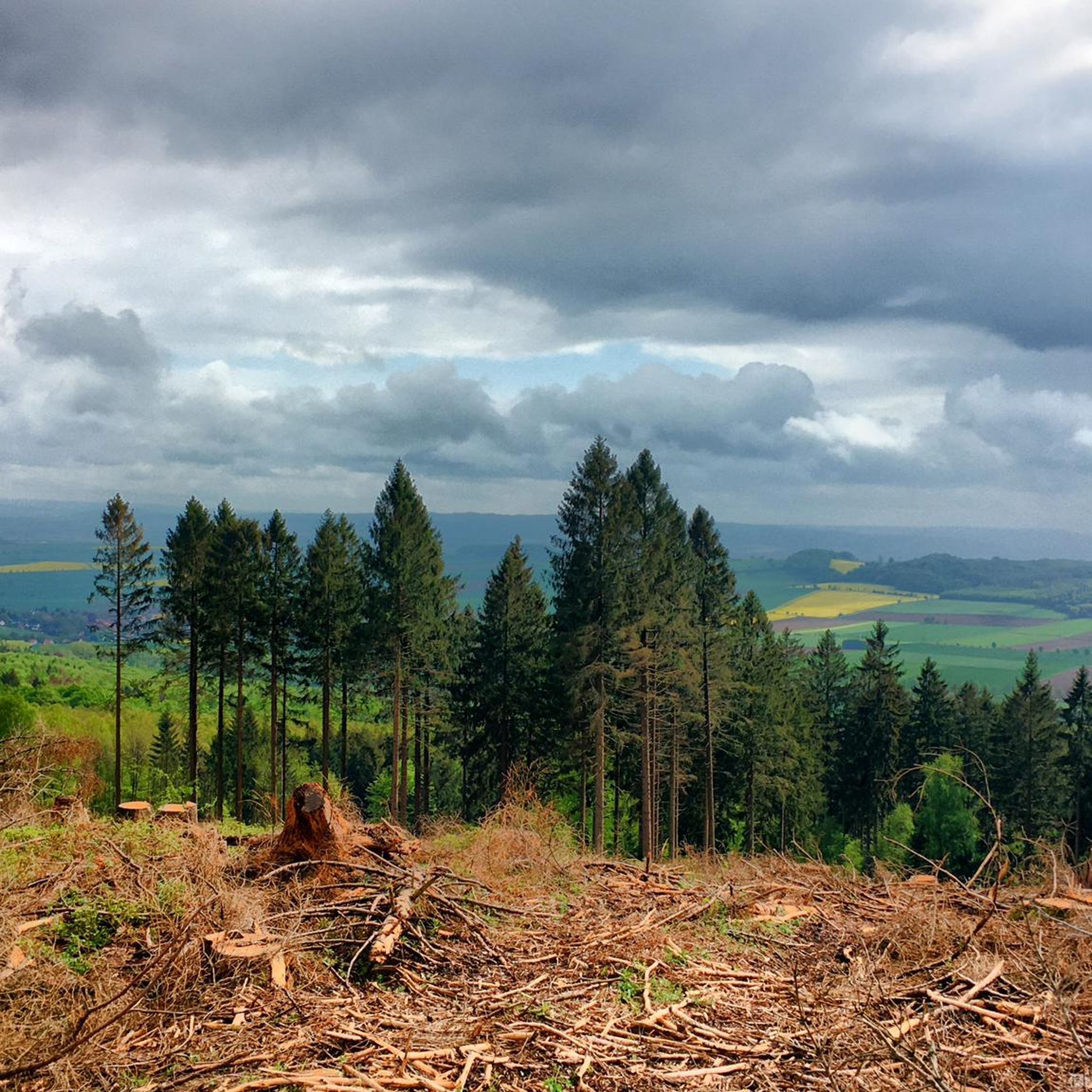
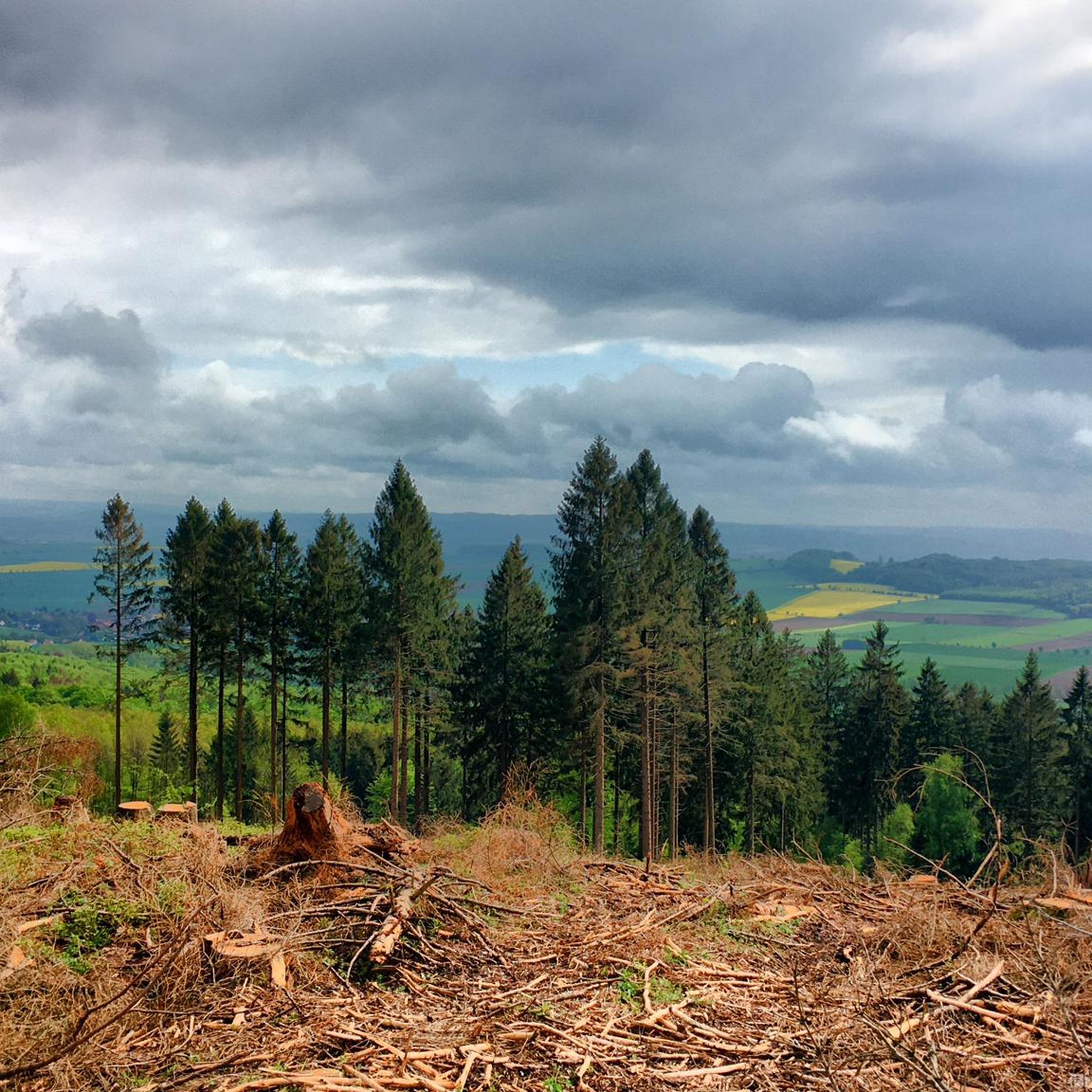
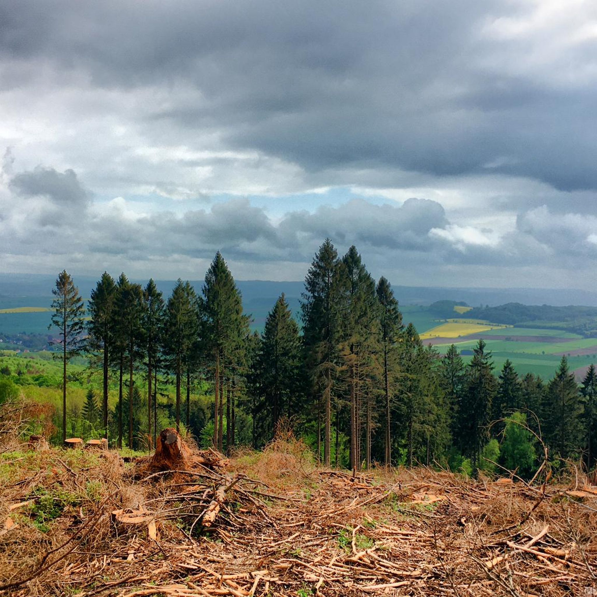
The 480 m high Bloße Zelle is the highest point of the Hils. An interesting place, but without a view due to afforestation.
8
0

Beautiful place with observation tower, benches and hut as well as stamp point 17.
0
0

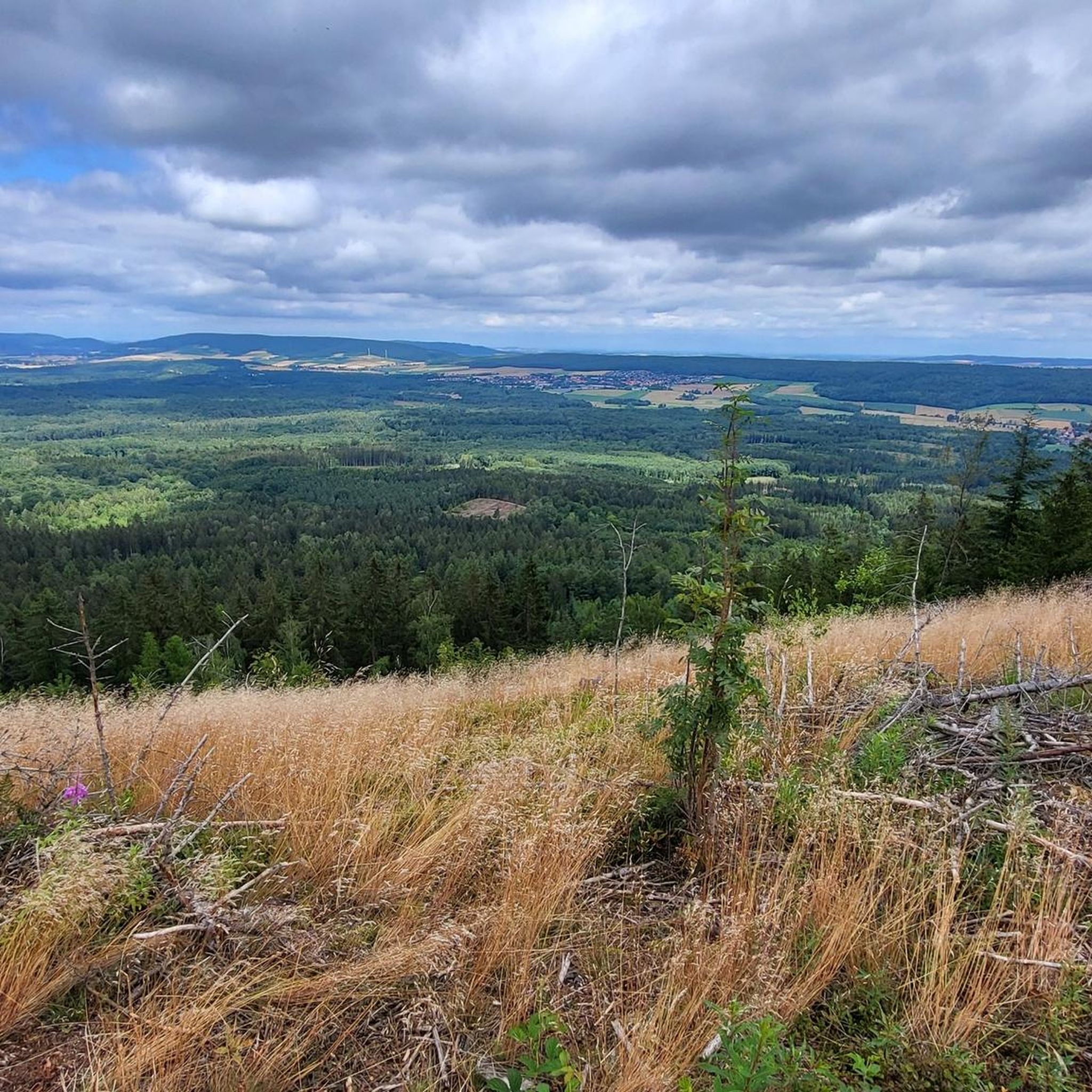
From September 15, 2024, stamp station 17 of the hiking treasures of the Wild Homeland will be located at the Sohlhütte at the Raabeturm. On the Hilskammweg, at a height of 471 meters, stands the 15-meter-high Wilhelm Raabe Tower, named after the famous poet. Built from steel in 1909 by the Hils Association, it offers great views of the Hilsmulde and the Weser and Leinebergland. However, climbing the tower is not for people with a fear of heights. The upper part of the tower is very narrow, so you will probably have to leave your backpack down to fit through the access hatches. In general, the ladders are quite airy - a small adventure that is rewarded with a wonderful view. Wilhelm Raabe was born in Eschershausen in 1831. He spent his childhood and youth in Eschershausen, Holzminden and Stadtoldendorf. In addition to the tower, you will also find the Wilhelm Raabe Memorial and the Solhütte here. Just a short distance further is the highest elevation of the Hils at 480 metres - the Blose Zelle. Tour tip: Grünenplan hiking car park: “Hilskammweg” hiking trail (Gr 1)
0
0

The Hilsbornteich is slightly smaller than the Glasebachteich.
1
0


Historical reservoir with a few benches to rest in good weather, unfortunately without weather protection.
1
0

Passed by here on our 4th Ith-Hils-Weg stage.
1
0

It is inconspicuous, the highest point of the Hil, but richly "decorated" with the chic marking, the benches and the geodetic point. Unfortunately, there is no view here, but the way to the Wilhelm Raabe Tower on the Grosse Sole is not far.
4
0
Frequently Asked Questions
What are some of the most popular natural monuments to visit in the Hils region?
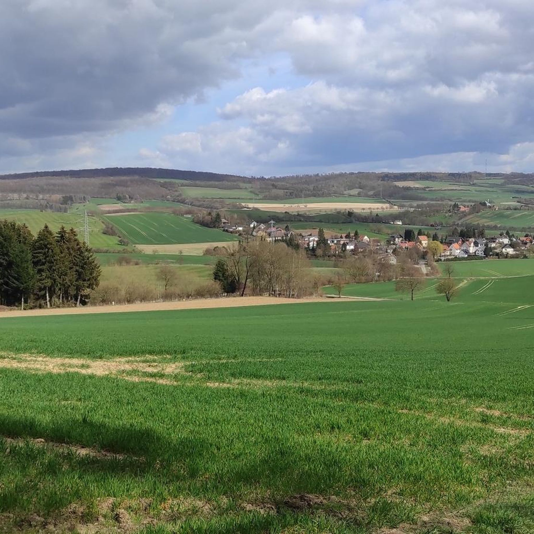
The Hils region offers a variety of natural monuments. Among the most popular are Glasebach Pond, a serene lake perfect for a break, and Bloße Zelle (480 m), the highest point in the Hils, which serves as a starting point for walks along the Kammweg. Another must-see is WS Stamp 18: Wilhelm Raabe Tower, offering expansive views of the Hilsmulde and the Weser and Leinebergland.
Are there any unique geological formations to see in the Hils?
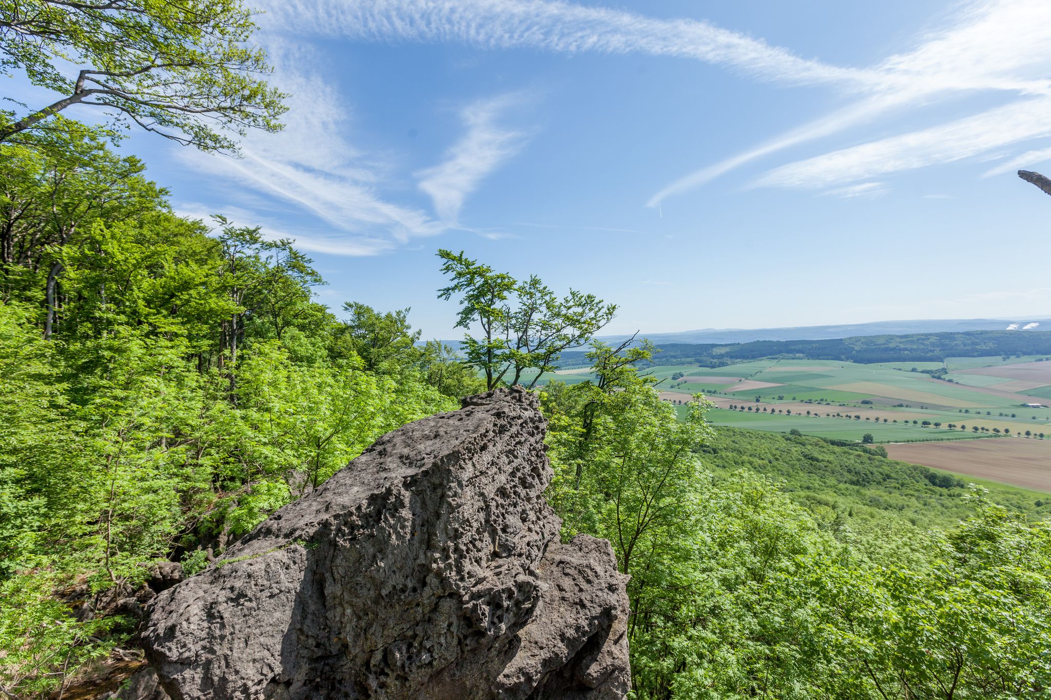
Yes, the Hils is renowned for its unique geological formations. You can discover distinctive rock formations such as Adam und Eva, Kamel, and Teufelsküche. The Wilhelm-Raabe-Klippen also offer impressive geological features, all contributing to the rich character of the landscape along the Ith-Hils Trail.
What kind of outdoor activities can I do near the natural monuments in Hils?
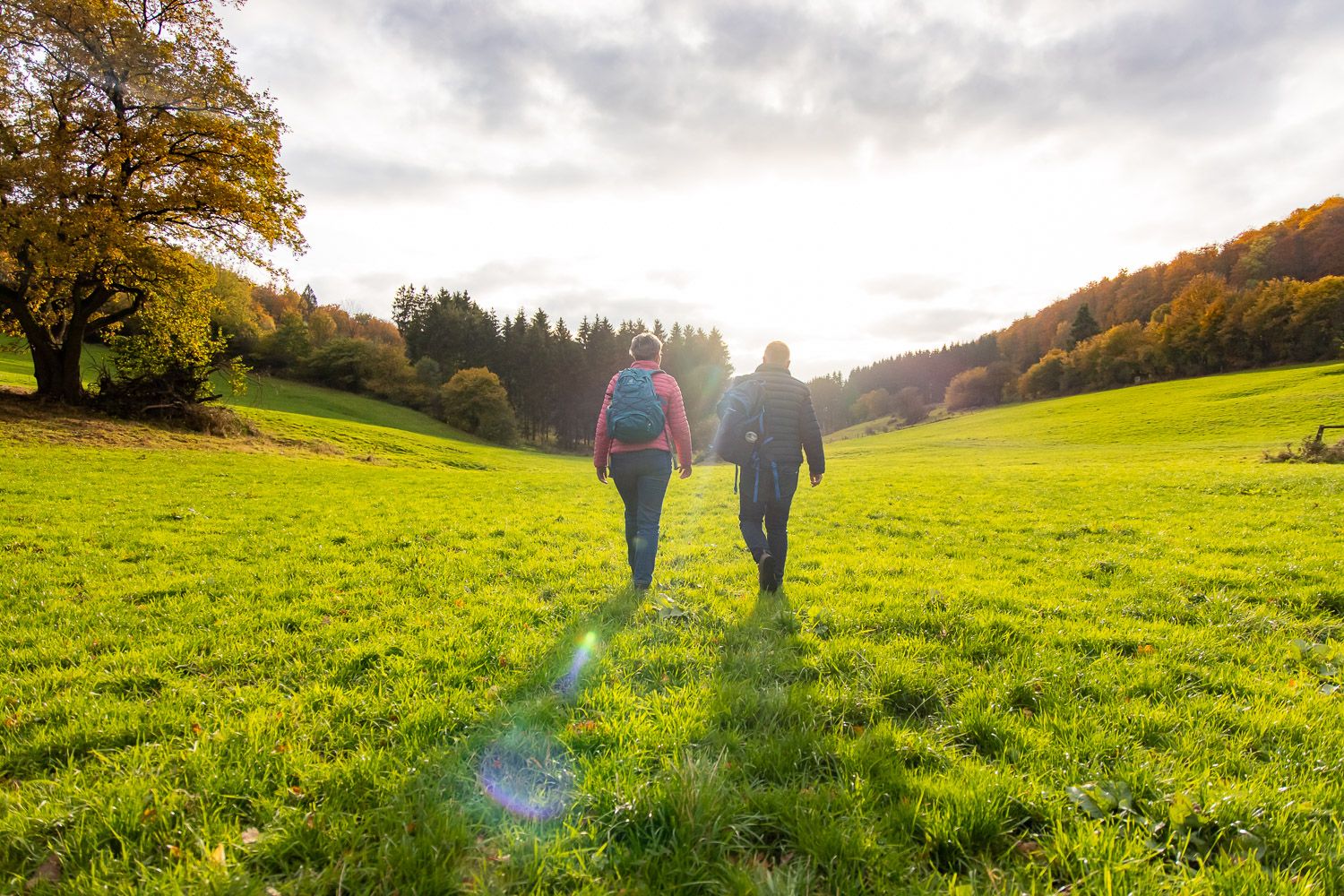
The Hils region provides excellent opportunities for various outdoor activities. You can explore numerous hiking trails, including sections of the 80-kilometer Ith-Hils Trail. For cycling enthusiasts, there are options for gravel biking and mountain biking. If you prefer running, several running trails wind through the forests and past natural features.
Are there family-friendly natural monuments or activities in the Hils region?
Absolutely. Natural monuments like Glasebach Pond and Hilsborn Pond are considered family-friendly, offering pleasant spots for relaxation with benches. The gentle valleys and extensive forests also provide a great environment for family walks, though some paths on the Ith-Hils Trail can be rocky and root-covered, so sturdy shoes are recommended.
What is the best time of year to visit the natural monuments in Hils?
The Hils region is particularly picturesque in autumn. During this season, the forests display vibrant colors, and mist often hangs among the rocks, creating a magical atmosphere for hiking and exploration. However, the area is beautiful year-round for enjoying nature.
What kind of views can I expect from the viewpoints in Hils?
From viewpoints like the Wilhelm Raabe Tower, you can expect impressive panoramic views. The tower offers sights of the Hilsmulde and the broader Weser and Leinebergland. Beyond specific towers, the region's natural mountain meadows and observation points provide breathtaking vistas of the surrounding countryside.
Are there any caves to explore in the Hils region?
Yes, the Hils region features several caves, adding an element of exploration for visitors interested in geological features beyond the prominent rock formations. These caves contribute to the diverse natural landscape of the area.
What should I wear for a hike to the natural monuments in Hils?
Given that some paths, especially along the Ith-Hils Trail, can be rocky and root-covered, it is highly recommended to wear sturdy shoes. Layered clothing is also advisable to adapt to changing weather conditions, particularly during autumn.
What makes the Ith-Hils Trail special for exploring natural monuments?
The 80-kilometer Ith-Hils Trail is a quality-certified hiking route that winds over narrow ridges, through ancient beech forests, and past many impressive rock formations and natural monuments. It's designed to immerse hikers in the region's unique geology and natural beauty, making it a central pathway for exploration.
Can I find places to rest or picnic near the natural monuments?
Yes, several natural monuments offer amenities for rest. For instance, Glasebach Pond has benches for relaxation, and Bloße Zelle (480 m), the highest point, also features a rest area. Hilsborn Pond is another beautiful spot for a break, though swimming and fishing are prohibited there.
What kind of wildlife might I encounter in the Hils forests?
The Hils region is characterized by extensive deciduous forests and gentle valleys, providing a habitat for various wildlife. While specific sightings are never guaranteed, visitors might encounter typical forest animals and a diverse range of bird species, especially in the quieter areas away from the main trails.
Most popular routes around Hils
Most popular attractions around Hils

Get inspired with the komoot mobile app


Explore more
Extend your search for the best caves by checking out these guides of the top ones around Hils:
