Easy hikes and walks around Hils
4.6
(796)
2,629
hikers
118
hikes
Easy hiking trails around Hils traverse a landscape characterized by rolling hills, dense woodlands, and varied natural features. The region's terrain includes gentle ascents and descents, making it suitable for accessible walks. Hikers can explore paths through forests and open areas, often encountering small streams and natural rock formations. This area offers a network of trails designed for easy navigation and enjoyable outdoor experiences.
Best easy hiking trails around Hils
- The most popular easy hiking route is Barbara Baude at…
Last updated: June 30, 2026
4.7
(31)
105
hikers
Easy hike. Great for any fitness level. Easily-accessible paths. Suitable for all skill levels.
4.6
(26)
88
hikers
Easy hike. Great for any fitness level. Easily-accessible paths. Suitable for all skill levels.

Sign up for free
4.8
(30)
82
hikers
Easy hike. Great for any fitness level. Easily-accessible paths. Suitable for all skill levels.
4.6
(7)
34
hikers
Easy hike. Great for any fitness level. Easily-accessible paths. Suitable for all skill levels.
4.8
(8)
21
hikers
Easy hike. Great for any fitness level. Easily-accessible paths. Suitable for all skill levels.
Get access to more routes and recommendations from other explorers.
Sign up for free
Already have an account?
Our route recommendations are based on thousands of hikes, rides, and runs completed by other people on komoot.
Start today with a free account
Your next adventure awaits.
Login or Signup


Tips from the Community


The Waldgaststätte Roter Fuchs is located on the Hilskamm. Opening hours were not visible.
6
0
The Roter Fuchs hiking parking lot is located on the pass at the road between Holzen and Grünenplan. From here, many destinations in the Hils can be reached.
6
0
Just next to the Hilskammweg there is a beautiful view of Eschershausen.
8
0
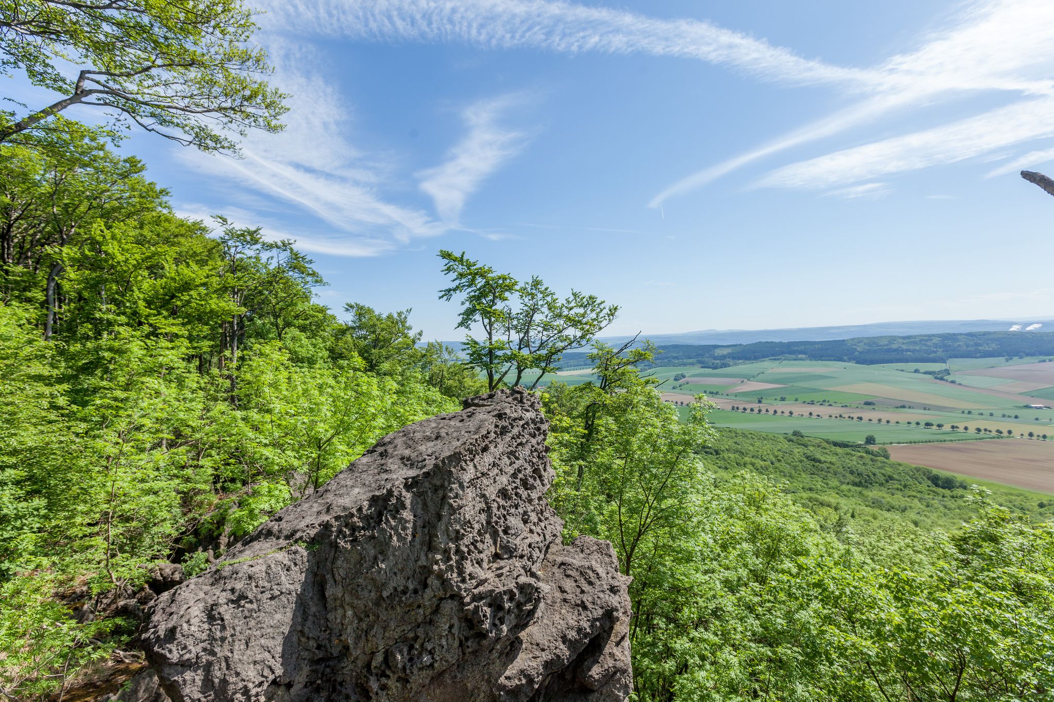
The 480 m high Bloße Zelle is the highest point of the Hils. An interesting place, but without a view due to afforestation.
8
0

Lovingly designed. Information in and around the cabin. Relaxing lounger with stone labyrinth.
0
0
The cross dedicated to Saint Barbara stands at an old sandstone quarry.
6
0
Frequently Asked Questions
How many easy hiking trails are there in Hils?
Hils offers a wide selection of easy hiking trails, with over 60 routes specifically categorized as easy. In total, the region features more than 110 hiking tours suitable for various skill levels.
What kind of terrain can I expect on easy hikes in Hils?
Easy hikes in Hils typically feature rolling hills, dense woodlands, and varied natural formations. The terrain includes gentle ascents and descents, making it suitable for accessible walks through forests and open areas. You might also encounter small streams and natural rock formations.
Are there any family-friendly easy hikes in Hils?
Yes, many easy trails in Hils are suitable for families. For example, the Holzen Hiking Car Park – Rothestein Cave loop from Eschershausen (gemeindefreies Gebiet) is a shorter 2.2-mile (3.7 km) trail through forested areas, often completed in just over an hour, making it ideal for families with children.
Can I bring my dog on easy hiking trails in Hils?
Generally, dogs are welcome on most hiking trails in Hils, especially on easy routes. However, it's always recommended to keep them on a leash, particularly in nature reserves or areas with wildlife, and to check for any specific local regulations at trailheads.
Are there easy circular routes available in Hils?
Yes, Hils features several easy circular routes. A popular option is the Barbara Baude at the Barbara Cross – WS Stamp 21: Barbarabaude loop from Wenzen, a 4.0-mile (6.5 km) trail that takes less than two hours to complete and loops through the Hils woodlands.
What natural features or landmarks can I see on easy hikes in Hils?
On easy hikes in Hils, you can explore diverse natural features and landmarks. The region is known for its unique sandstone formations, deep gorges, and woodlands. You might encounter highlights such as the Wilhelm Raabe Tower, offering panoramic views, or the Barbara Baude at the Barbara Cross. The Ithwiesen Nature Reserve – Ith rock formations loop from Eschershausen (gemeindefreies Gebiet) specifically highlights the impressive Ith rock formations.
Where can I park when hiking in Hils?
Many trailheads for easy hikes in Hils offer designated parking areas. For instance, the Holzen Hiking Car Park provides convenient access to trails. It's advisable to check specific route details on komoot for parking information related to your chosen starting point.
What is the best time of year for easy hikes in Hils?
The Hils region offers beautiful hiking experiences year-round. Spring brings vibrant wildflowers, while autumn showcases vivid foliage. The mild weather during these seasons is often ideal for easy hikes. Even winter can be picturesque with ice formations, though some trails might be more challenging depending on conditions.
Are there any cafes or restaurants near the easy hiking trails in Hils?
Yes, you can find amenities like cafes and restaurants in the villages and towns surrounding the Hils region. Some trails, like the Barbara Baude at the Barbara Cross – WS Stamp 21: Barbarabaude loop from Wenzen, even pass by establishments like the Barbara Baude, offering a convenient stop for refreshments.
What do other hikers enjoy most about hiking in Hils?
The Hils region is highly rated by the komoot community, with an average score of 4.7 stars from nearly 700 reviews. Hikers often praise the quiet woodlands, well-marked paths, and the diverse natural beauty, including rock formations and scenic viewpoints like the Wilhelm Raabe Tower.
How long do easy hikes in Hils typically take?
The duration of easy hikes in Hils varies depending on the route length and your pace. Many easy trails can be completed within 1 to 2 hours. For example, the Holzen Hiking Car Park – Rothestein Cave loop is about 2.2 miles (3.7 km) and takes approximately 1 hour and 7 minutes.
Are there any viewpoints on the easy hiking trails in Hils?
Yes, several easy trails in Hils lead to or offer views of scenic points. The Wilhelm Raabe Tower is a prominent viewpoint that can be accessed via routes like the Wilhelm Raabe Memorial – Wilhelm Raabe Tower loop from Eschershausen (gemeindefreies Gebiet), providing expansive vistas of the surrounding landscape.
Most popular routes around Hils
Most popular attractions around Hils

Get inspired with the komoot mobile app


Explore more
Browse the best Hikes in other regions.
