Top 3 Mountain Passes around National Park Sierra Espuña
Best mountain passes around National Park Sierra Espuña are located in the Region of Murcia, Spain. This protected regional park features diverse landscapes, including pine forests and ravines. The area is known for its natural beauty and offers a variety of scenic mountain passes. These passes provide routes through varied terrain for outdoor activities.
Best mountain passes around National Park Sierra Espuña
- The most popular mountain passes is Collado Bermejo, a mountain pass located at an altitude of 1,201…
Last updated: July 10, 2026
Collado Bermejo
Highlight • Mountain Pass
Translated by Google •
Tip by

Northeast Espuña Pass
Highlight (Segment) • Mountain Pass
Here in the east you drive a lot through the forest and don't see that much of …
Translated by Google •
Tip by

Sign up now to discover places like this
Get recommendations on the best single tracks, peaks, & plenty of other exciting outdoor places.
Sign up for free
Espuña South Pass
Highlight (Segment) • Mountain Pass
Incredibly beautiful route, which I prefer as a climb.
Translated by Google •
Tip by
Espuña North Pass
Highlight (Segment) • Mountain Pass
In the west of the section you can turn north to drive …
Translated by Google •
Tip by
Collado Blanco
Highlight • Mountain Pass
Translated by Google •
Tip by

Sign up for free to discover even more mountain passes around National Park Sierra Espuña.
Sign up for free
Already have an account?
Start today with a free account
Your next adventure awaits.
Login or Signup
Popular around National Park Sierra Espuña
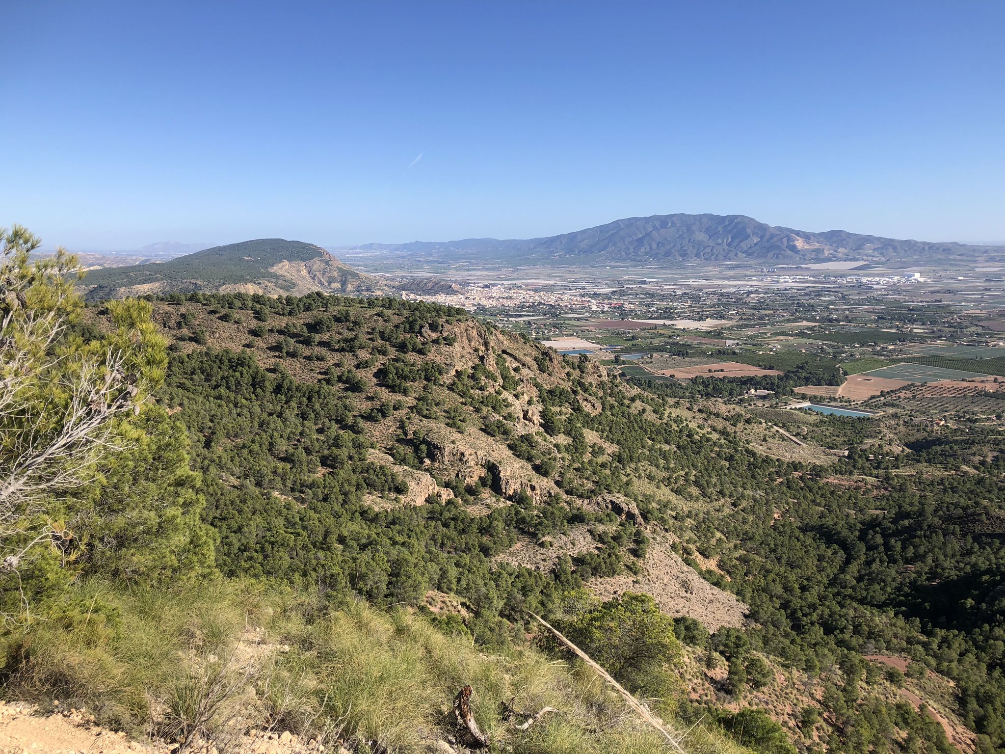
The lungs of Murcia in Spain – Sierra Espuña
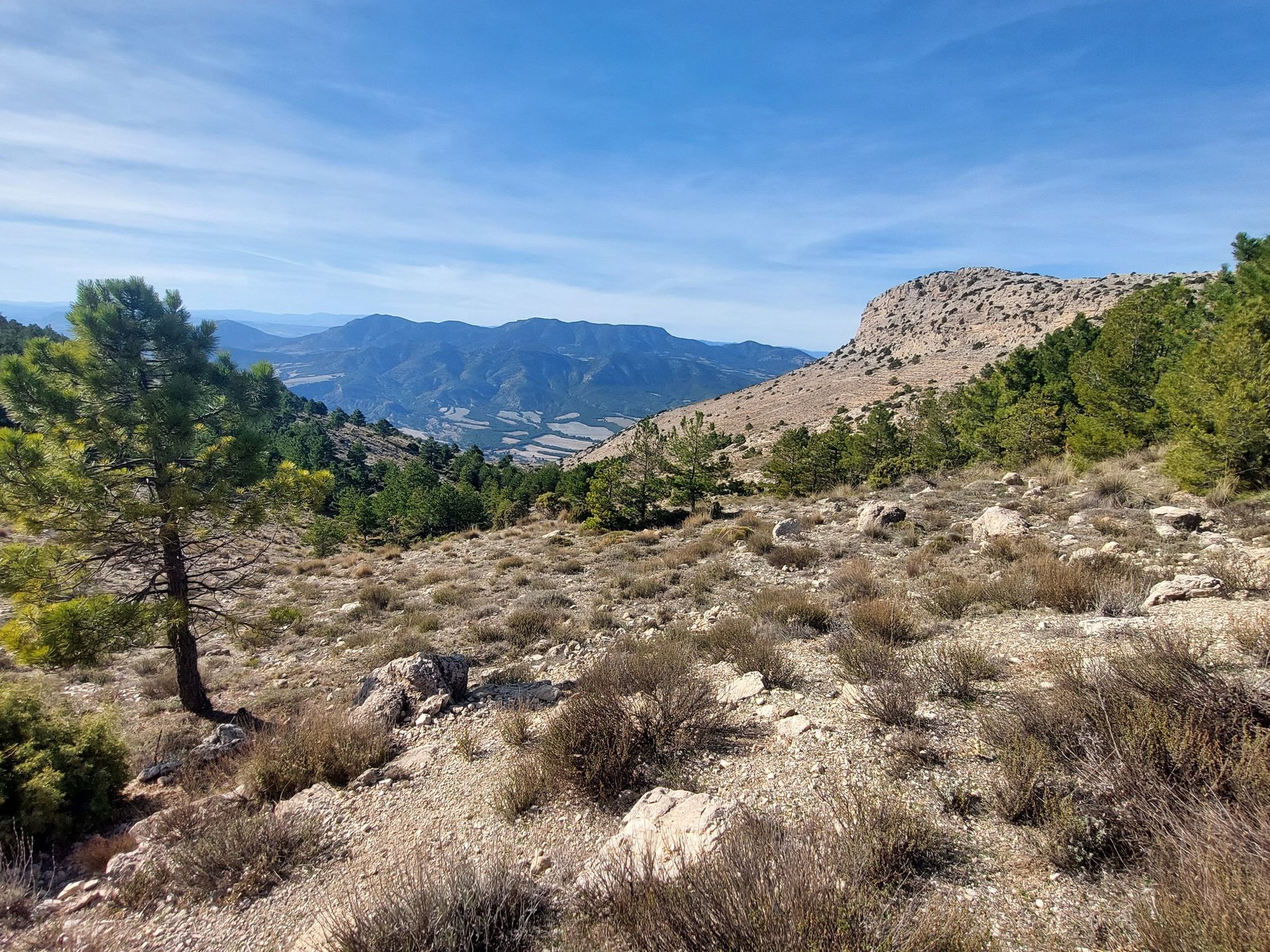
Badlands, limestone hills and pine forests – cycle around Sierra Espuña
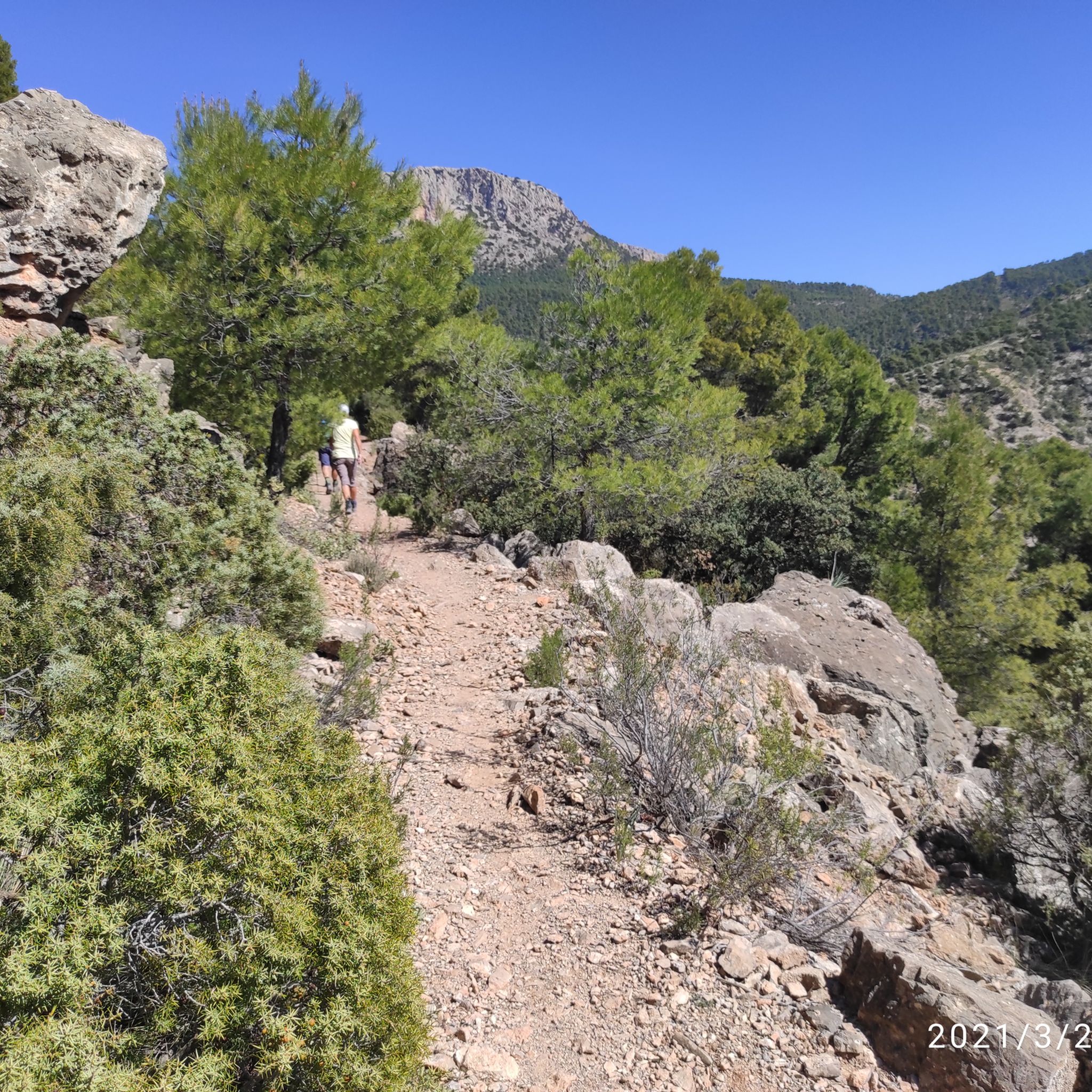
Hiking around National Park Sierra Espuña
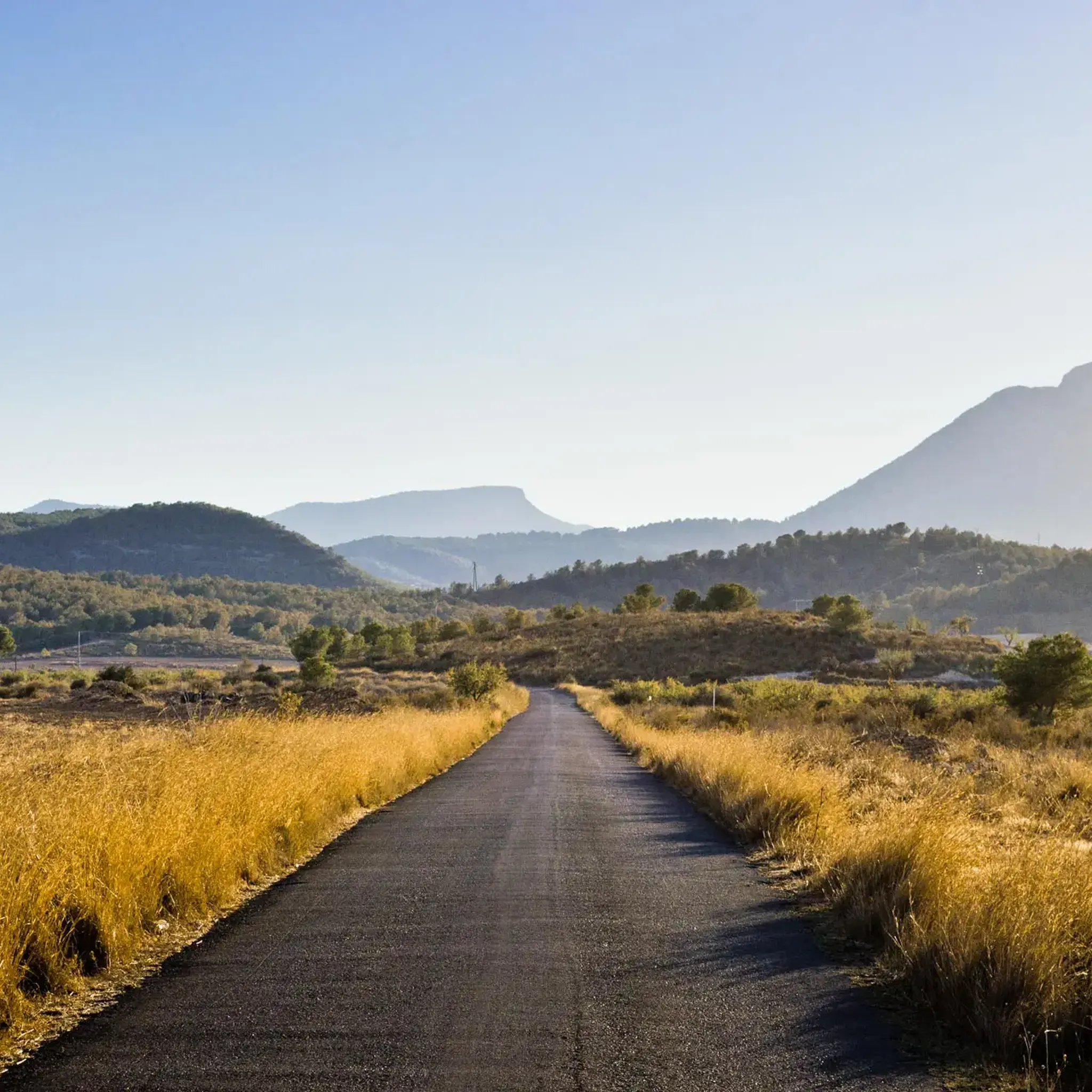
Road Cycling Routes around National Park Sierra Espuña
MTB Trails around National Park Sierra Espuña
Running Trails around National Park Sierra Espuña
Cycling around National Park Sierra Espuña

Gravel biking around National Park Sierra Espuña
Other adventures around National Park Sierra Espuña


Tips from the Community

From the Ricardo Codorniú Visitor Centre, a very long forest track leads up to this mountain pass.
0
0

Summit of the pass through the Enspuña.
0
0
Mostly good asphalt, one of the better routes to cross the Sierra Espuna. Here in the east you drive a lot through the forest and don't see that much of the landscape on the western side. In the east I shortened this section a bit because there are two good alternatives. 1. To/from RM-515 (direction Alhama de Murcia) to go around the Sierra Espuña or else 2. Head southwest on the service path along the canal towards Totana. The path is flat and you can drive very quickly on the straights. The fun is somewhat hindered by 15 speed bumps and 3 gates. Towards the north, the service path soon becomes a poor forest path as the canal "disappears" underground there.
2
0
Mostly good asphalt, only a little tourist traffic, a lot of forest and little view of the landscape. In the west of the section you can turn north to drive onto the Espuña. It is closed (militarily) at the summit, but you can drive almost to the top (it's just not possible to plan that far on Kommot). This section has the best asphalt quality (2024), but the northern cross connection via the Zona "La Perdiz" is also asphalted and can be used as an alternative. There are some really bad sections in the east, all of which I didn't ride (and which you shouldn't choose).
0
0
Mostly good asphalt with some damage, especially further up. Very little traffic, just visitors to the national park. Incredibly beautiful route, which I prefer as a climb.
0
0

Highest point (1,223m) of the track that runs through the entire Leyva Valley. On one side views of the entire valley and on the other Prado Mayor.
0
0

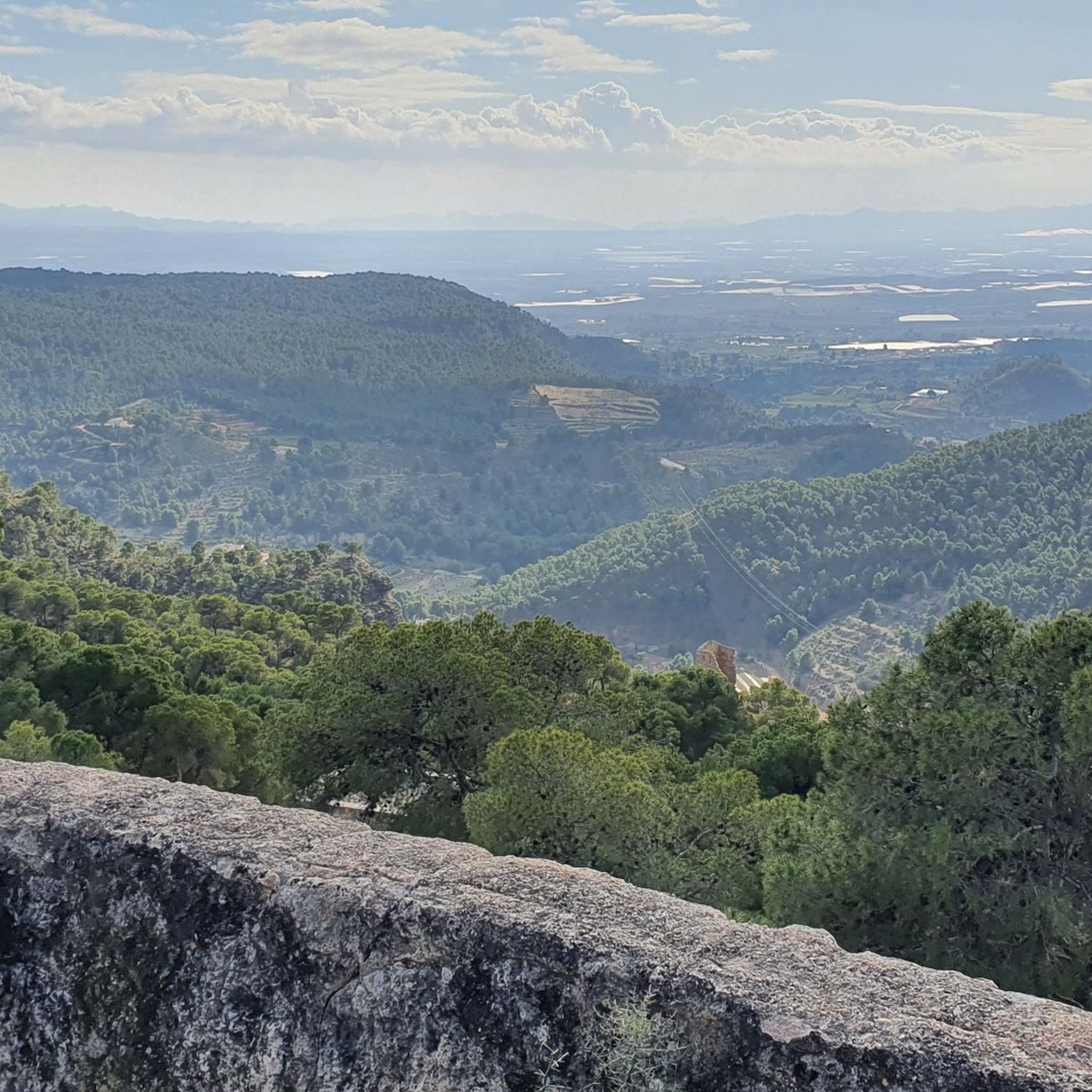
Located in the Sierra Espuña and at an altitude of 1,201 m, we reach the Bermejo pass accompanied by a pine forest during the ascent and where we find a beautiful viewpoint. At this point, a brief false flat is imposed to recover energy and breath and contemplate the panorama and places as beautiful as Umbría de Peña Apartada, Peña Apartada itself, Cerro de la Garita, and of course, the deep and green Valley of the Espuna River. To the north, we find the Morrón de Espuña, and to the west the Barranco de Enmedio, El Purgatorio and the Pedro López hill.
1
1

This viewpoint offers one of the best panoramic views of the entire Sierra, since it is located at an altitude of 1,201 m, it is a must if you want to climb Morrón de Espuña and Pozos de la Nieve, a stop here offers the opportunity to see places as beautiful as Umbría de Peña Apartada, Peña Apartada itself, Cerro de la Garita, and of course, the deep and green Valley of the Espuña River; in the background you can see the Barrancos de Gebas. To the north, we find the Espuña morrón, and to the west the Barranco de Enmedio, El Purgatorio and the Pedro López hill.
1
0
Frequently Asked Questions
What are the most popular mountain passes in Sierra Espuña National Park?
Among the most popular mountain passes in Sierra Espuña National Park is Collado Bermejo, located at 1,201 meters. It's known for its panoramic views and pine forests. Visitors also appreciate Espuña South Pass for its scenic route, and Northeast Espuña Pass, which offers routes through forest sections.
What kind of views can I expect from the mountain passes in Sierra Espuña?
The mountain passes in Sierra Espuña offer breathtaking panoramic views. From Collado Bermejo, you can see landmarks like Umbría de Peña Apartada, the Valley of the Espuna River, and Morrón de Espuña. Collado Blanco provides an astonishing panorama of the Leyva Walls, Morrón Chico, and the dense pine forest. Collado Mangueta also offers stunning vistas, including the historic Pozos de la Nieve.
Are there challenging routes for cyclists in Sierra Espuña's mountain passes?
Yes, Sierra Espuña offers challenging routes for cyclists. The ascent to Collado Bermejo from Totana is a notable Category 2 climb, covering 7 kilometers with an average gradient of 7.2% and numerous hairpin bends. Espuña South Pass is also appreciated as a climb, offering a scenic journey through the park.
What historical features can be found near the mountain passes?
Near Collado Mangueta, you can explore the historic Pozos de la Nieve (snow wells), which were historically used by Murcia and Cartagena. One of these wells still retains its conical-vaulted cover, offering a glimpse into the region's past.
What outdoor activities can I do near these mountain passes?
The area around Sierra Espuña's mountain passes is excellent for various outdoor activities. You can find numerous hiking trails, including easy hikes and waterfall hikes. For cyclists, there are also gravel biking routes that traverse the park's diverse landscapes.
Are there specific hiking routes that start or end at a mountain pass?
Yes, Collado Mangueta serves as a starting or ending point for several hiking routes, such as the PR-MU 57 "Valle de Leyva – Collado Mangueta." This route takes you through different vegetation levels and past an ancient snow well, offering a fascinating journey.
What is the condition of the roads on the mountain passes for driving or cycling?
Road conditions vary across the passes. Espuña South Pass generally has good asphalt with minimal traffic. The road leading to Collado Mangueta, especially from Totana via Fuente Alta, is narrow and winding. For Cuestas del Marqués, the asphalt is noted to be very bad in the west but acceptable in the east.
What natural landmarks can be seen from the mountain passes?
From the mountain passes, you can observe several natural landmarks. From Collado Bermejo, you can see Umbría de Peña Apartada, Cerro de la Garita, and the deep Valley of the Espuna River. Collado Mangueta offers views of Pinos Blancos hill and the Malvariche and La Hoz ravines. The Barrancos de Gebas can also be seen in the background from Collado Bermejo.
What do visitors enjoy most about the mountain passes in Sierra Espuña?
Visitors particularly enjoy the exceptional panoramic views, the challenging ascents for cyclists, and the opportunity to explore diverse landscapes, including dense pine forests and dramatic ravines. The combination of natural beauty, outdoor activities, and historical significance makes these passes a rewarding experience.
Are there any mountain passes that are good for exploring the eastern side of the park?
Yes, Northeast Espuña Pass is a good option for exploring the eastern side of Sierra Espuña. It traverses through forest sections and offers alternatives for navigating this part of the park.
What is the altitude of the highest mountain passes in Sierra Espuña?
Collado Mangueta is one of the higher passes, located at 1,390 meters (4,560 feet) of altitude. Collado Bermejo is situated at 1,201 meters (3,940 feet), and Collado Blanco reaches 1,223 meters.
Most popular routes around National Park Sierra Espuña
Most popular attractions around National Park Sierra Espuña

Get inspired with the komoot mobile app


Explore more
See even more epic mountain passes by checking out these guides around National Park Sierra Espuña:
