Top 20 Natural Monuments around Unterlangenegg
Best natural monuments around Unterlangenegg offer diverse natural features within the Emmental Alps region. The area is characterized by its varied terrain, including elevated moors, prominent summits, and secluded valleys. These natural landmarks provide opportunities to experience the local geology and ecosystems. The landscape around Unterlangenegg features both protected wetlands and alpine viewpoints.
Best natural monuments around Unterlangenegg
- The most popular natural monuments is Sigriswiler Rothorn, a summit that is the culmination point of the Sigriswilergrat chain. This impressive…
Last updated: June 26, 2026
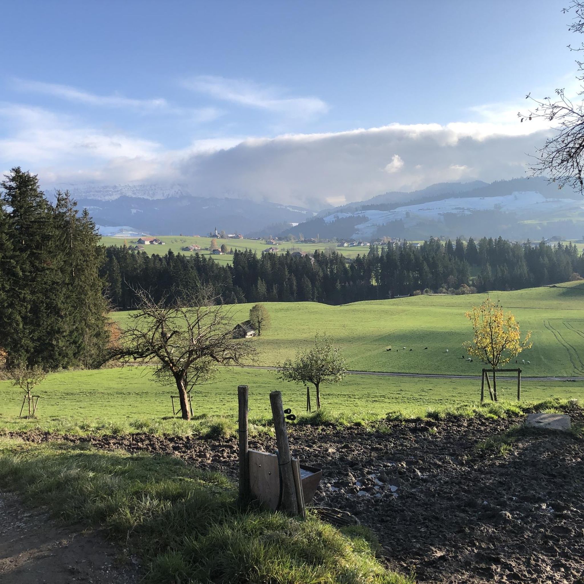
Burgfeldstand Summit
Highlight • Summit
Highest peak of the so-called "Güggisgrat", which extends south of the Justistal over the Niederhorn to the Gemmenalphorn. Legend has it that this peak represents the ruins …
Translated by Google •
Tip by

Gemmenalphorn
Highlight • Summit
Translated by Google •
Tip by
Sign up now to discover places like this
Get recommendations on the best single tracks, peaks, & plenty of other exciting outdoor places.
Sign up for free
Sigriswiler Rothorn
Highlight • Summit
Translated by Google •
Tip by
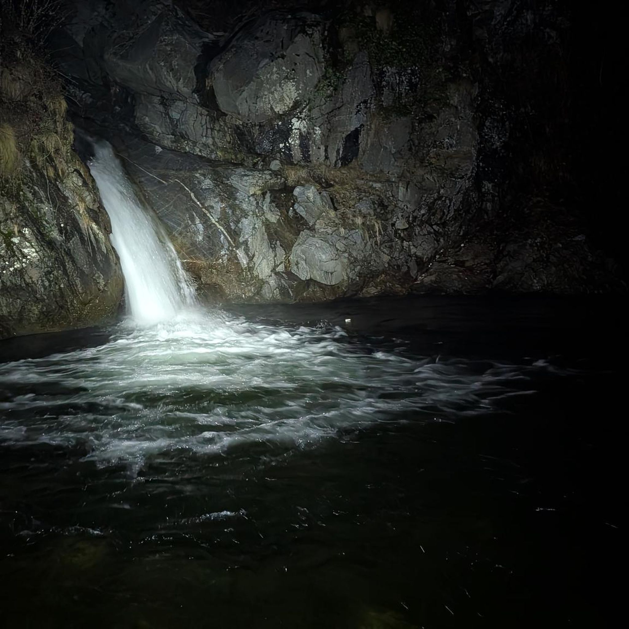
Glütschbachtal Stream and Grottos
Highlight • River
Translated by Google •
Tip by

Sichle Pass
Highlight • Mountain Pass
Translated by Google •
Tip by

Sign up for free to discover even more natural monuments around Unterlangenegg.
Sign up for free
Already have an account?
Start today with a free account
Your next adventure awaits.
Login or Signup
Tips from the Community

The Gemmenalphorn is a scenic summit above Lake Thun and part of the Niederhorn chain. The distinctive grassy mountain reaches an altitude of 2061 meters and offers an impressive panorama of the Eiger, Mönch, and Jungfrau, as well as the deep blue Lake Thun. The hike from the Niederhorn via the scenic ridge path is particularly popular. In summer, ibex often graze in the area, which is why the region is also highly valued by wildlife observers. Despite its height, the Gemmenalphorn is technically quite easy to reach and ideal for pleasure hikers.
2
0
The ascent from the east can be very tricky in spring, as there may still be snow in exposed places.
2
0
Beautiful and little-frequented summit with panoramic views
7
0

Difficult ascent including easy climbing but at the top everything is forgotten, the effort was worth it, the view is amazing.
0
1

The Sigriswiler Rothorn (2,051 m) is an impressive vantage point high above Lake Thun ⛰️🌊. The ascent is mostly along the ridge and requires surefootedness and a head for heights ⚠️🥾 – caution is advised, especially in wet conditions. At the top, you'll be rewarded with a fantastic 360° panorama: views of the Eiger, Mönch, and Jungfrau, the Mittelland, and Lake Brienz and Lake Thun 🏔️👀 – ideal for a summit rest and impressive photos 📸. Equipment: Sturdy hiking boots, weather protection 🧥, provisions 🥪, water 💧. No food or drink options along the way. Recommendation: Set off early ⏰, and avoid the ridge in uncertain weather. An absolutely worthwhile summit for experienced hikers!
1
0
Wonderful vantage point. Can be reached on snowshoes from the Niederhorn mountain station in about an hour.
2
0

The Glütschbach or valley was the riverbed of the Kander until 1714. This also explains the deep incision for this small stream.
0
0
Frequently Asked Questions
What are some unique natural features to explore around Unterlangenegg?
Beyond the well-known summits, you can discover the Wachseldornmoos, a protected raised bog offering a tranquil, mystical atmosphere with rare plants and a circular path. Another unique spot is the Glütschbachtal Stream and Grottos, a picturesque valley featuring a meandering stream and stalactite caves.
Which natural monuments offer the best panoramic views?
For breathtaking panoramic views, consider the Sigriswiler Rothorn, which provides impressive vistas high above Lake Thun. The Burgfeldstand Summit is another excellent choice, offering magnificent views of Lake Thun and the iconic Eiger, Mönch, and Jungfrau peaks.
Are there any family-friendly natural monuments or trails in the area?
Yes, the Glütschbachtal Stream and Grottos is particularly suitable for families. It features a picturesque valley with a stream, caves, and an extensive picnic area with tables and fire pits, making it a great spot for a family outing.
What kind of wildlife and flora can I expect to see at these natural monuments?
At the Wachseldornmoos, you can observe typical bog vegetation and diverse life in its sedge fields and reed beds. The Burgfeldstand Summit area is rich in alpine wildlife, with opportunities to spot eagles, bearded vultures, mountain goats, ibex, and snow grouse. Between May and June, protected mountain flowers like crocus, edelweiss, and Männertreu also adorn the landscape.
What are the hiking difficulty levels for trails around these natural monuments?
Hiking difficulties vary. The circular path at Wachseldornmoos is generally easy and suitable for leisurely walks. Summits like Sigriswiler Rothorn and Burgfeldstand Summit involve intermediate to challenging mountain hikes, often requiring surefootedness and a head for heights, especially in wet conditions. The Sichle Pass also involves a steep ascent but rewards with beautiful panoramas.
When is the best time to visit the natural monuments around Unterlangenegg?
The best time to visit depends on your interests. For alpine flora, late spring to early summer (May-June) is ideal, especially around Burgfeldstand Summit. Generally, late spring through early autumn offers pleasant hiking conditions. Always check weather conditions, especially for higher elevations, as they can change rapidly.
Are there any legends or historical aspects associated with the natural monuments?
Yes, the Burgfeldstand Summit has a fascinating legend. The geological features near the peak, dominating the Justistal, are said to resemble the collapsed quarry stone walls of a destroyed castle, adding a mythical touch to the landscape.
What kind of outdoor activities can I do near these natural monuments?
The region offers a variety of outdoor activities. You can find numerous hiking trails, including easy loops and challenging mountain hikes. For more specific routes, explore the hiking guide for Unterlangenegg or the mountain hikes guide. There are also options for gravel biking routes in the broader area.
Can I access these natural monuments using public transport?
While specific public transport details for each monument vary, many areas around Unterlangenegg are accessible. For instance, the Burgfeldstand Summit is easily accessible from Niederhorn, which can be reached by public transport. It's advisable to check local bus schedules for routes connecting to trailheads.
Are there any other notable viewpoints besides the main summits?
Yes, the Sichle Pass, while a mountain pass, also serves as an impressive viewpoint. After the ascent, you're rewarded with wonderful views in both directions, making it a great spot to pause and take in the landscape.
What makes the Wachseldornmoos a significant natural monument?
The Wachseldornmoos is significant as a protected raised bog (Hochmoor) that preserves untouched nature and typical bog vegetation, including rare plants. It provides a unique habitat for diverse life and offers a rare opportunity to experience a pristine moorland landscape with a beautiful circular path.
What is the <a href="https://en.wikipedia.org/wiki/Burgfeldstand" target="_blank" rel="noopener">Burgfeldstand Summit</a> known for?
The Burgfeldstand Summit is known as the highest point of the Güggisgrat in the Emmental Alps. It's celebrated for its magnificent panoramic views of Lake Thun and the iconic Eiger, Mönch, and Jungfrau peaks, as well as its rich alpine wildlife and unique mountain flora.
Most popular routes around Unterlangenegg
Most popular attractions around Unterlangenegg

Get inspired with the komoot mobile app


Explore more
Extend your search for the best caves by checking out these guides of the top ones around Unterlangenegg:
