Top 19 Natural Monuments in the San Jacinto Mountains
Best natural monuments in the San Jacinto Mountains showcase a diverse range of landscapes and unique geological features. The region is characterized by a dramatic elevation gain, rising from the desert floor to alpine peaks. This area encompasses portions of both the Santa Rosa and San Jacinto mountain ranges, featuring one of the steepest escarpments in the lower 48 states. Visitors can explore varied ecosystems, from desert environments to sub-alpine forests.
Best natural monuments in the San Jacinto Mountains
- The…
Last updated: June 26, 2026
San Jacinto Peak
Highlight • Summit
Tip by

Tahquitz Peak
Highlight • Summit
Tip by
Sign up now to discover places like this
Get recommendations on the best single tracks, peaks, & plenty of other exciting outdoor places.
Sign up for free
Andreas Canyon creek crossing
Highlight • Bridge
Tip by

San Jacinto Wilderness
Highlight • Forest
Tip by
Palm Canyon
Highlight • Canyon
Tip by
Andreas Canyon Oasis
Highlight • Canyon
Tip by
Palm Canyon Trail — Wild Horse Trail Section
Highlight (Segment) • Trail
Tip by

Hidden Lake
Highlight • Lake
Translated by Google •
Tip by

Suicide Rock
Highlight • Summit
Tip by
Tahquitz Falls
Highlight • Waterfall
Tip by

Sign up for free to discover even more natural monuments in the San Jacinto Mountains.
Sign up for free
Already have an account?
Start today with a free account
Your next adventure awaits.
Login or Signup
Popular around San Jacinto Mountains

Pacific Crest Trail from Mexico to Canada – 4,200 kilometres of wilderness

The tour of your life – music trails on the Pacific coast
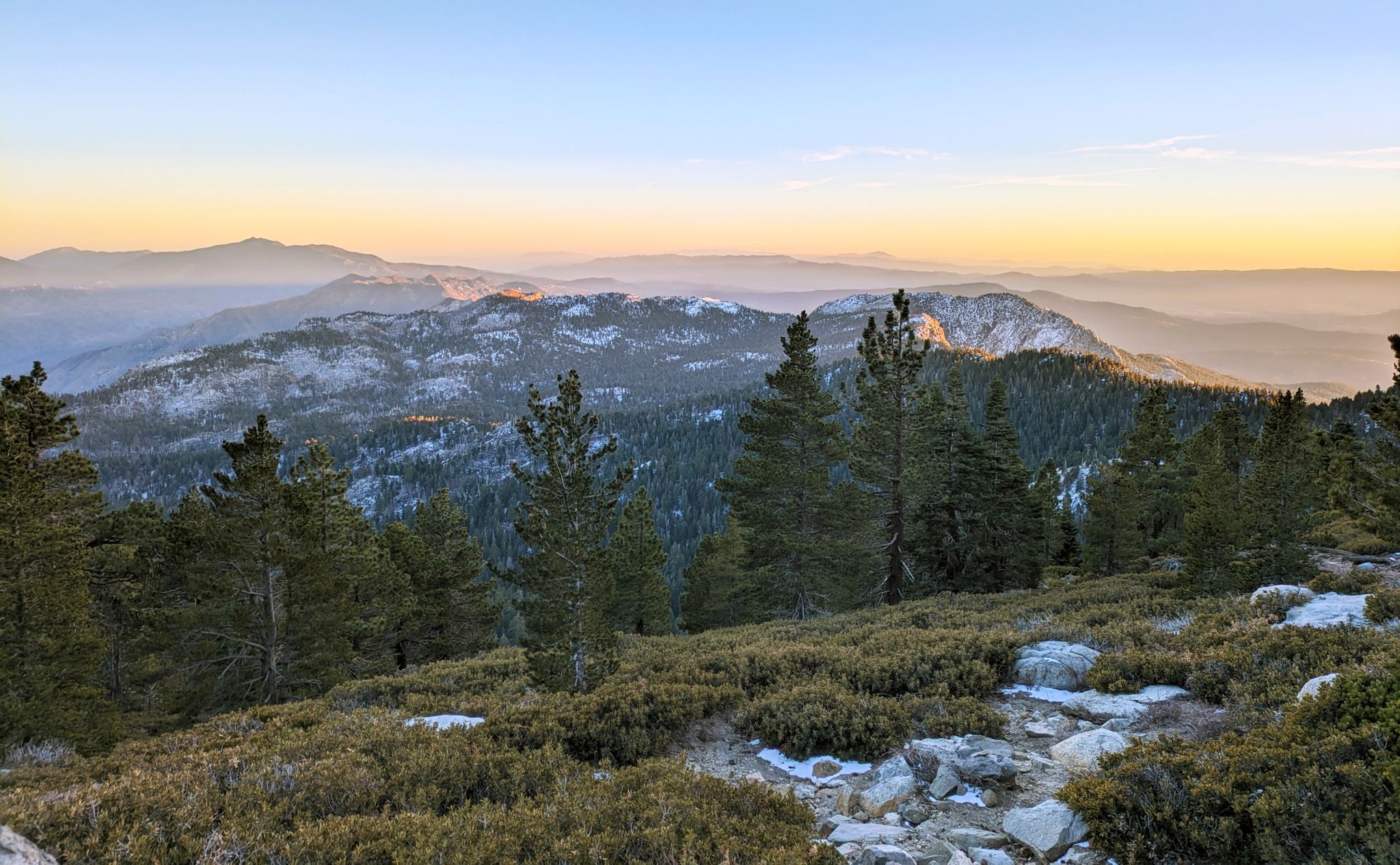
Climbing Mount San Jacinto on the Deer Springs Trail
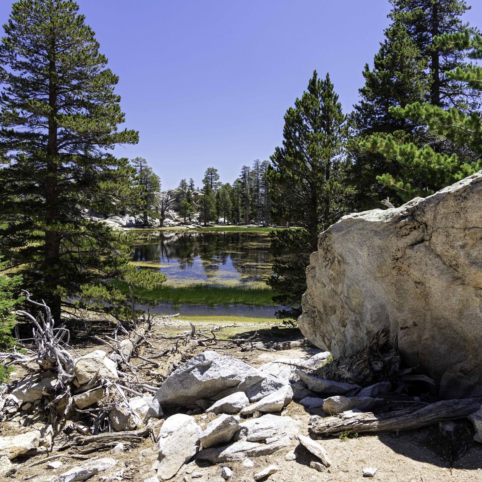
Hiking in the San Jacinto Mountains
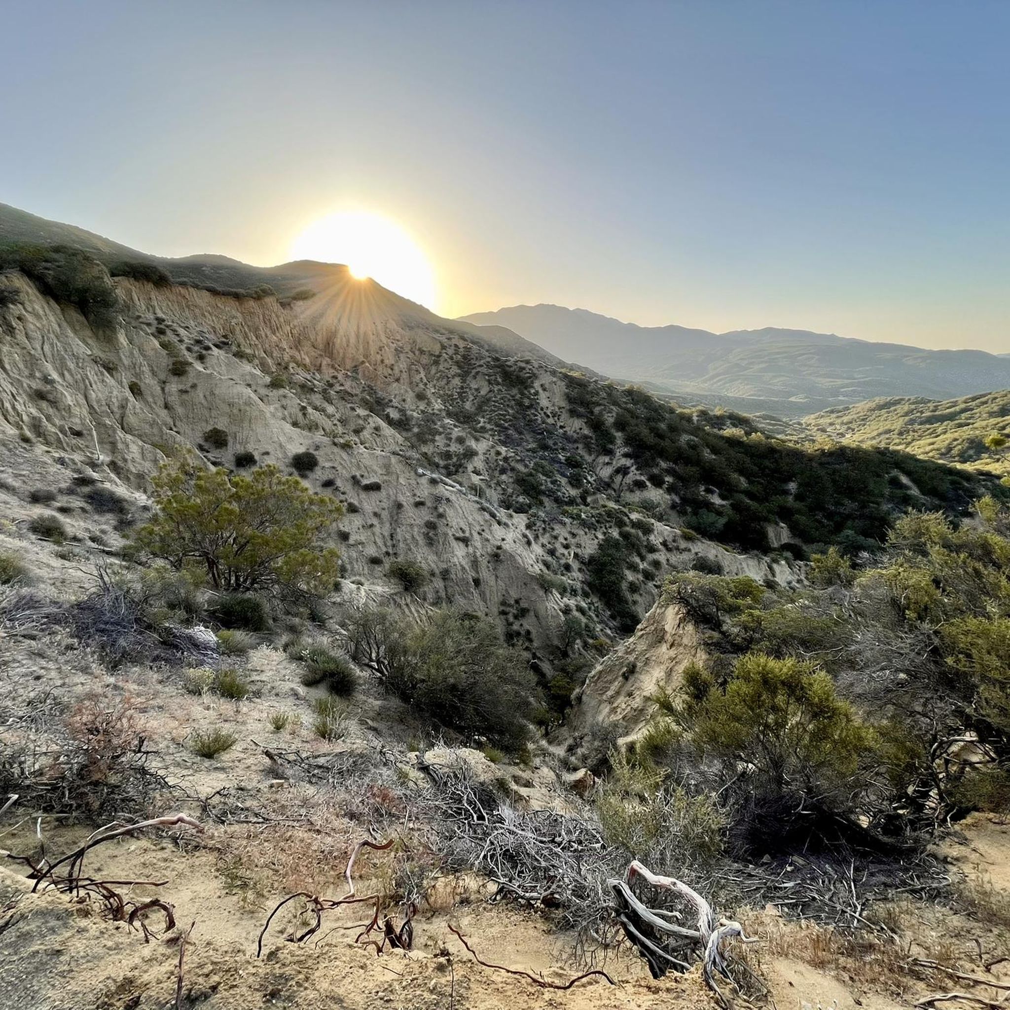
Running Trails in the San Jacinto Mountains
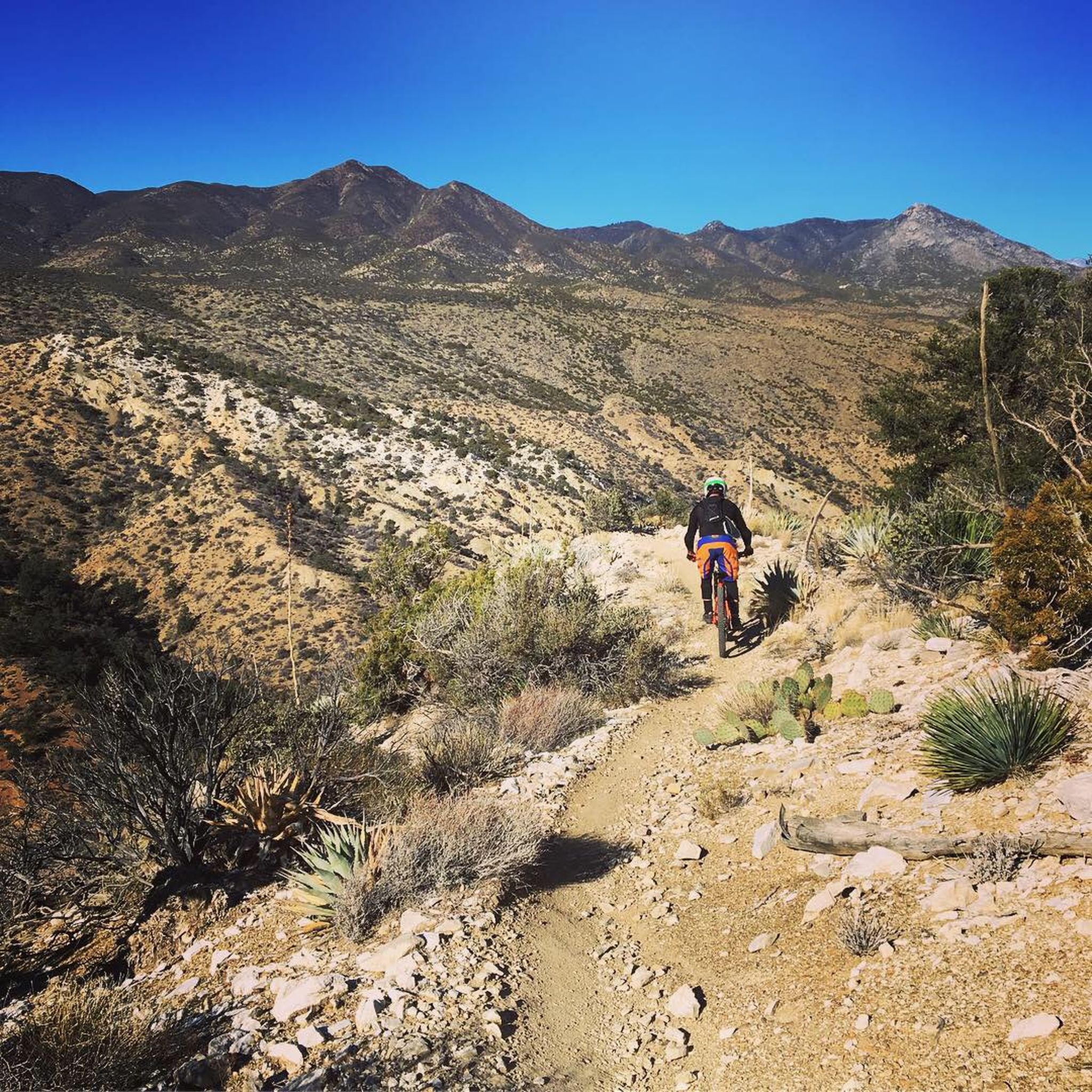
MTB Trails in the San Jacinto Mountains
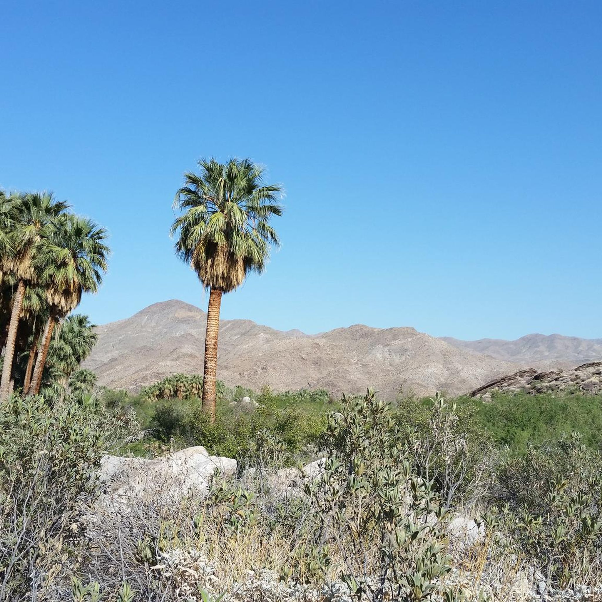
Cycling in the San Jacinto Mountains
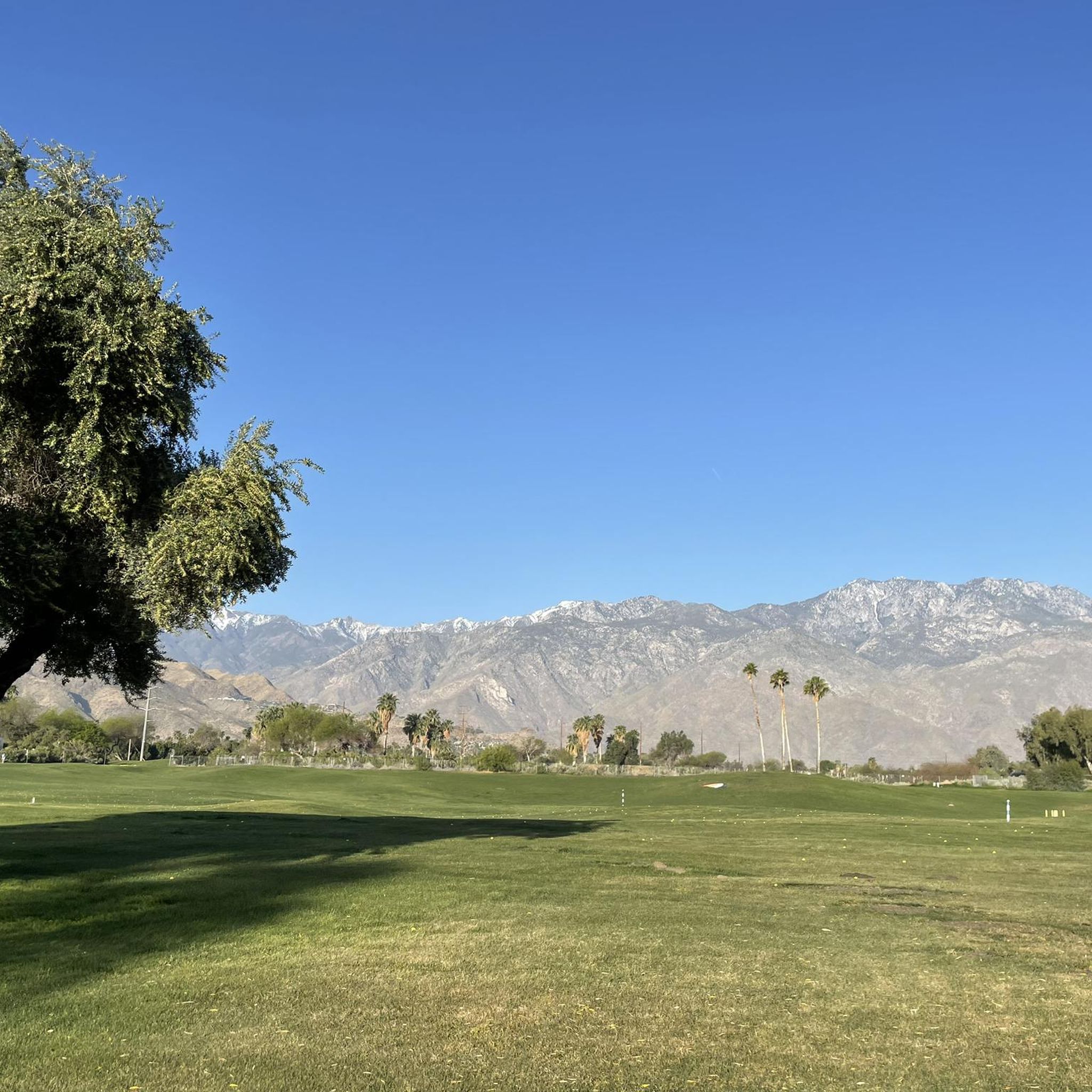
Road Cycling Routes in the San Jacinto Mountains
Other adventures in the San Jacinto Mountains


Tips from the Community

Beautiful little trail in the desert. Enjoyed the water rushing through the path that the Palm Trees created.
0
0
Since 2020, Palm Canyon Trail—a multi-use trail—has seen a significant increase in users: hikers, equestrian and mountain bikers, including eBikes. Most of the trail crosses BLM and US Forest Service land. The Trail crosses private land as well as land owned by Agua Caliente. The properties the Tribe recently received as ancestral land back donations were offered to the Tribe. As a property owner with the right to regulate access to its land, the Agua Caliente chose to improve a portion of Palm Canyon Trail that is on its land—not federal land. The Tribe conducted trail maintenance work within its own property in the Indian Canyons for emergency access, security and safety for our hikers and other lawful users of the Trail. Why did it do this? Because it values its lands and prioritizes proper management of it. Unfortunately, one entitled business owner, [Dave Wood, owner of Bikes and Brews -tgk] who is unhappy over the fact that mountain biking and e-mountain biking is not allowed in this area is acting out by spreading false information, which is unnecessarily causing confusion in the community. His false narrative insultingly prioritizes his desire to financially profit from trespassing on Tribal lands, over the Tribe’s right to protect its property and its cultural resources. Tribal employees are now receiving “anonymous” threats promising more property destruction if tribal staff attempts to interfere with this illegal activity, which generates profits by organizing trail rides for groups of bikers who (unknowingly) trespass on a trail where that activity is not permitted. The Tribe has never permitted mountain biking on its land. The land acquired as land back donations is now Tribal land and consistent with our policy, mountain biking and eBikes are prohibited. Anyone on a mountain or eBike accessing the land is in trespass of Tribal lands. Trespassing on, and damaging, the property of another is never ok. We ask this business owner to ride his bicycle somewhere else where this activity is permitted.
0
0
The Palm Canyon Epic Trail is now closed to mountain biking. In April and June 2024 several landowners of wilderness areas donated their land to the Agua Caliente Band of Cahuilla Indicans (ACBCI). The donated lands included important parts of the Palm Canyon Epic Trail. As part of ACBCI policy on land use, mountain bike travel is prohibited on these lands. Recently Margaret Park-Robinson, Chief Planning Officer of ACBCI released a statement concerning the closure of the PCE. She can be reached at 760-883-1326 or email: mpark@aguacaliente-nsn.gov I append the full statement to this comment. Tom Kohn ACBCI Statement on the PCE closure Since time immemorial, Agua Caliente and other Cahuilla have lived within the lands of the National Monument, including Palm Canyon. Since time immemorial, the Palm Canyon Trail has been a significant cultural and historical pathway for Cahuilla people. Since 2000, the National Monument was established despite concerns by Agua Caliente. The legislation directs the federal agencies (BLM & USFS) to consult with Agua Caliente. Since 2008, Palm Canyon and the portion of the trail was designated as a federal Wild & Scenic River by the US Forest Service despite concerns by Agua Caliente. continues in a following post...
0
0

Fantastic, but it's good that not too many people know about this place!
1
1

This desert oasis is home to 150 species of plants, all growing within a half-mile radius. The Andreas Canyon Trail goes through this canyon, passing interesting rock formations, and follows the perennial Andreas Creek.
0
0

Tahquitz Falls, nestled in Southern California's San Jacinto Mountains, captivates with its 60-foot cascade, lush surroundings, and a serene ambiance, offering a refreshing oasis and scenic beauty.
0
0
Hidden Lake on San Jacinto is a vernal pool at 8700 feet above sea level. The small lake fills with water in the spring season during rainfall years, and during the summer it dries up. As the pool recedes and the water dries up, very specialized plants are exposed and begin to grow along the edges of the water.
0
0
Frequently Asked Questions
What unique geological features can I explore in the San Jacinto Mountains?
The San Jacinto Mountains are known for their dramatic topography, including one of the steepest escarpments in the lower 48 states, rising over 10,000 feet in just 12 miles. You can also find unique California fan palm oases, such as those in Palm Canyon, where fault lines force groundwater to the surface, creating lush groves in the arid desert.
Are there family-friendly natural monuments or trails in the San Jacinto Mountains?
Yes, several areas offer family-friendly experiences. For instance, the Andreas Canyon creek crossing is part of a loop trail that is considered family-friendly, featuring a boardwalk over the creek. The oases in Andreas Canyon Oasis also provide accessible and scenic spots for families to enjoy.
What outdoor activities can I do near the natural monuments in the San Jacinto Mountains?
The region offers a wide range of outdoor activities. You can find numerous hiking trails, from challenging ascents to more moderate paths. Mountain biking is also popular, with routes like the Palm Canyon Epic. For road cyclists, there are scenic loops through the desert and foothills. You can explore more options for MTB Trails, Cycling, and Road Cycling Routes in the San Jacinto Mountains.
What is the best time of year to visit the natural monuments in the San Jacinto Mountains?
The best time to visit depends on your planned activities. Lower elevation areas, like the canyons, are most pleasant in the cooler months from fall through spring. For higher elevations and challenging hikes to summits like San Jacinto Peak or Tahquitz Peak, late spring to early fall offers more favorable weather, though winter conditions can make trails dangerous and require proper gear.
Are permits required to access certain natural areas or trails in the San Jacinto Mountains?
Yes, permits are required for certain areas, especially for overnight stays or specific wilderness sections. For example, to camp in the San Jacinto Wilderness, you need a wilderness permit, which can be obtained from the Ranger Station in Idyllwild or the Valley Ranger Station on the Palm Springs Aerial Tramway side. Hikers with a long-distance Pacific Crest Trail permit do not need an additional wilderness permit.
What are some notable viewpoints or scenic overlooks in the San Jacinto Mountains?
The San Jacinto Mountains offer numerous breathtaking viewpoints. San Jacinto Peak, at 10,883 feet, provides unparalleled panoramic vistas stretching from the Pacific Ocean to the Salton Sea. Tahquitz Peak also offers impressive views to the southeast and of the Salton Sea, known for its seasonal fire lookout.
Can I see waterfalls in the San Jacinto Mountains?
Yes, the San Jacinto Mountains are home to some beautiful waterfalls. Tahquitz Falls is a notable waterfall in the region, offering a scenic natural monument to visit. The Andreas Canyon creek crossing area also features a small waterfall, which can be a nice picnic spot.
What do visitors enjoy most about the natural monuments in the San Jacinto Mountains?
Visitors frequently appreciate the dramatic contrast between the desert and alpine environments, the extensive network of hiking trails, and the stunning panoramic views from summits like San Jacinto Peak. The unique beauty of the palm oases in Palm Canyon is also a major draw, offering a cool retreat and a striking landscape.
Are there any lakes to visit among the natural monuments?
Yes, you can find serene natural lakes in the area. Hidden Lake is one such natural monument, offering a peaceful forest setting and scenic views, making it an intermediate hiking destination.
How can I access the higher elevations of the San Jacinto Mountains, such as San Jacinto Peak?
You can hike to the summit of San Jacinto Peak via several challenging trails from Idyllwild or Palm Springs. A unique and more accessible option is the Palm Springs Aerial Tramway, which takes you to a mountain station at 8,516 feet, significantly reducing the elevation gain for those wishing to hike the remaining distance to the peak.
What kind of wildlife can I expect to see in the San Jacinto Mountains?
The diverse ecosystems of the San Jacinto Mountains support a variety of wildlife. From lower desert elevations to alpine peaks, you might encounter species adapted to these different habitats. The region is notably home to the endangered Peninsular bighorn sheep, especially within the Santa Rosa and San Jacinto Mountains National Monument.
Are there any challenging natural monuments for experienced hikers?
Absolutely. Summits like San Jacinto Peak and Tahquitz Peak offer challenging hikes with significant elevation gains and rugged terrain. The San Jacinto Wilderness itself contains numerous challenging trails, including sections of the Pacific Crest Trail, providing strenuous but rewarding experiences for experienced hikers.
What is the significance of the palm oases in the San Jacinto Mountains?
The palm oases, such as those found in Palm Canyon, are critical ecological features. They are formed where fault lines trap groundwater, forcing it to the surface, creating lush environments in the otherwise arid desert. These oases provide essential water and food sources for desert wildlife and offer a striking contrast to the surrounding landscape.
Most popular routes in the San Jacinto Mountains
Most popular attractions in the San Jacinto Mountains

Get inspired with the komoot mobile app


Explore more
Extend your search for the best caves by checking out these guides of the top ones in the San Jacinto Mountains:
