The best road cycling routes in the San Jacinto Mountains
4.6
(23)
721
riders
45
rides
Road cycling in the San Jacinto Mountains offers diverse landscapes and significant elevation changes, rising dramatically from the desert floor. The region features varied ecosystems, from arid desert to sub-alpine forests, providing a range of terrain for cyclists. This topography includes notable escarpments and geological formations, with many routes boasting well-paved surfaces.
Best road cycling routes in the San Jacinto Mountains
- The most popular road cycling route is Coachella & Indio loop via Grapefruit Boulevard, a 32.7 miles (52.6…
Last updated: October 10, 2026
3.3
(3)
8
riders
52.6km
01:59
100m
100m
The Coachella & Indio loop via Grapefruit Boulevard offers a fantastic, easy road cycling experience through the flat desert landscapes of the Coachella Valley. You'll pedal past picturesque date palm…
4.7
(6)
101
riders
Easy road ride. Great for any fitness level. Mostly well-paved surfaces and easy to ride.

73
riders
50.4km
02:20
400m
400m
Moderate road ride. Good fitness required. Mostly well-paved surfaces and easy to ride.
37
riders
30.0km
01:28
160m
160m
Easy road ride. Great for any fitness level. Mostly well-paved surfaces and easy to ride.
3.0
(2)
20
riders
68.0km
03:00
440m
440m
Moderate road ride. Good fitness required. Some segments of this route may be unpaved and difficult to ride.
5.0
(1)
39
riders
Moderate road ride. Good fitness required. Mostly well-paved surfaces and easy to ride.
5.0
(1)
31
riders
45.7km
02:31
720m
720m
Moderate road ride. Good fitness required. Mostly well-paved surfaces and easy to ride.
31
riders
Easy road ride. Great for any fitness level. Mostly well-paved surfaces and easy to ride.
5.0
(1)
27
riders
Easy road ride. Great for any fitness level. Mostly well-paved surfaces and easy to ride.
16
riders
35.9km
01:30
230m
230m
Easy road ride. Great for any fitness level. Mostly well-paved surfaces and easy to ride.
Get access to more routes and recommendations from other explorers.
Already have an account?
Our route recommendations are based on thousands of hikes, rides, and runs completed by other people on komoot.
Start today with a free account
Your next adventure awaits.
Popular around San Jacinto Mountains

Pacific Crest Trail from Mexico to Canada – 4,200 kilometres of wilderness

The tour of your life – music trails on the Pacific coast
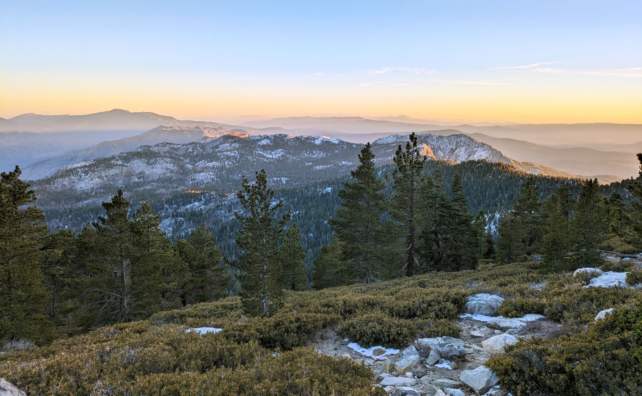
Climbing Mount San Jacinto on the Deer Springs Trail
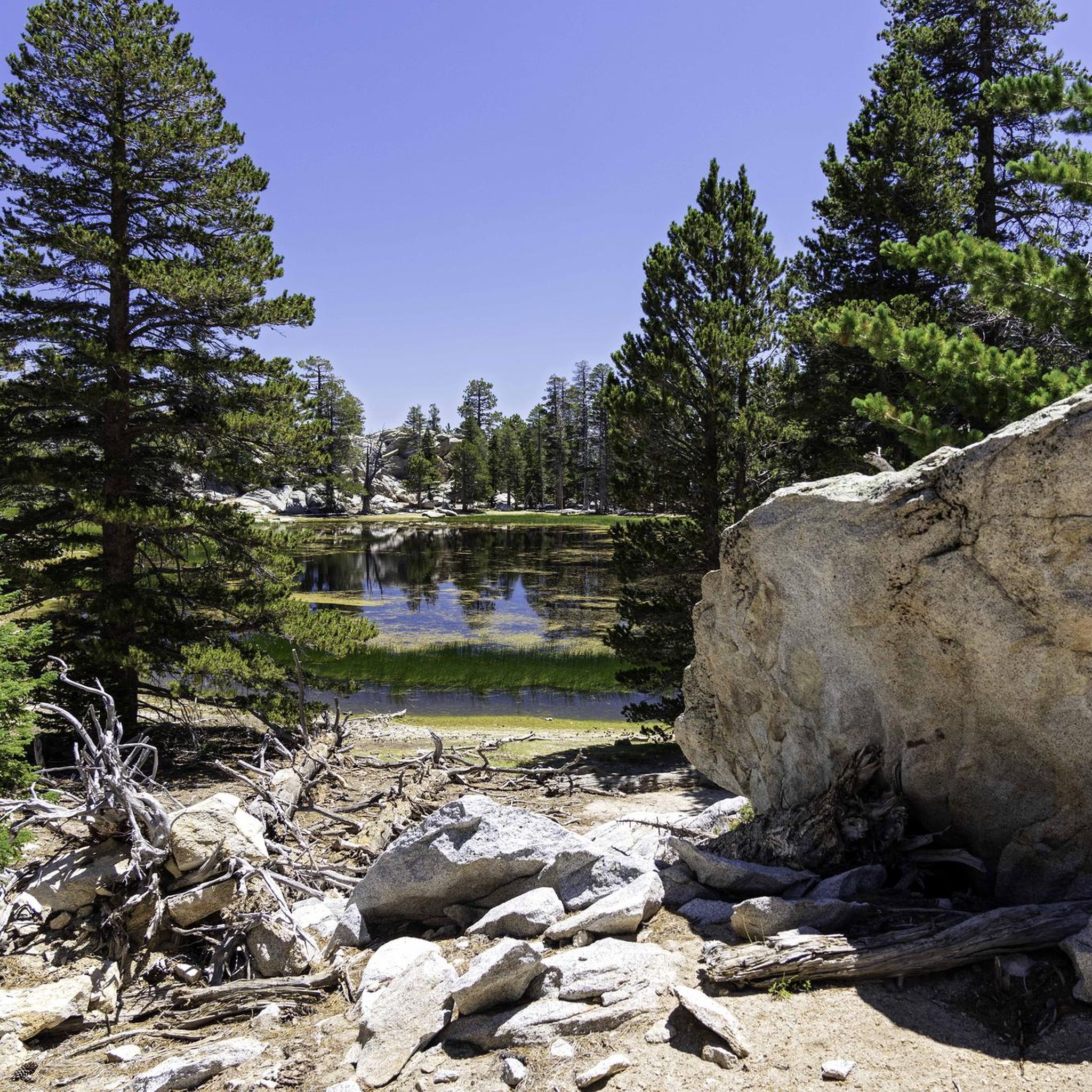
Hiking in the San Jacinto Mountains
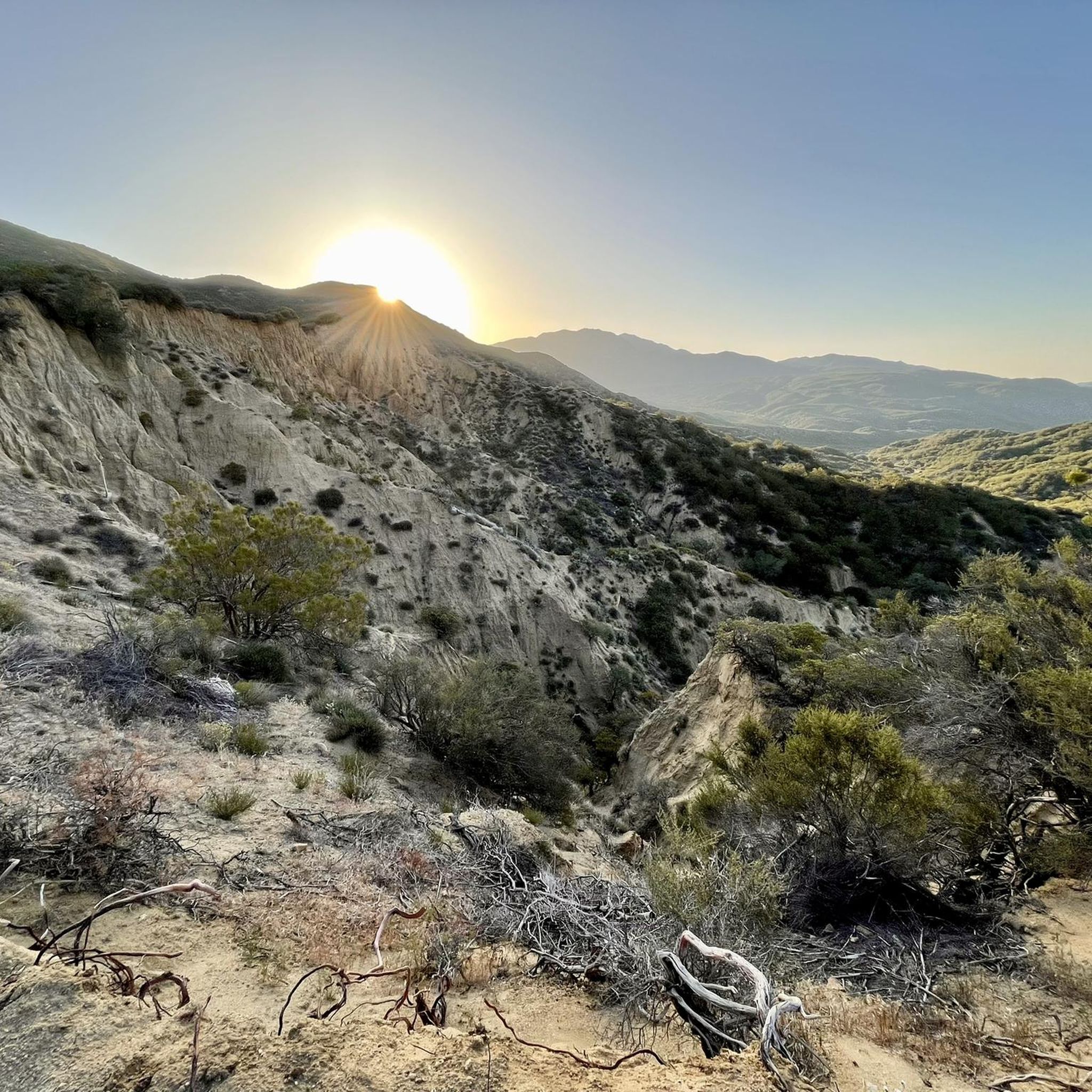
Running Trails in the San Jacinto Mountains
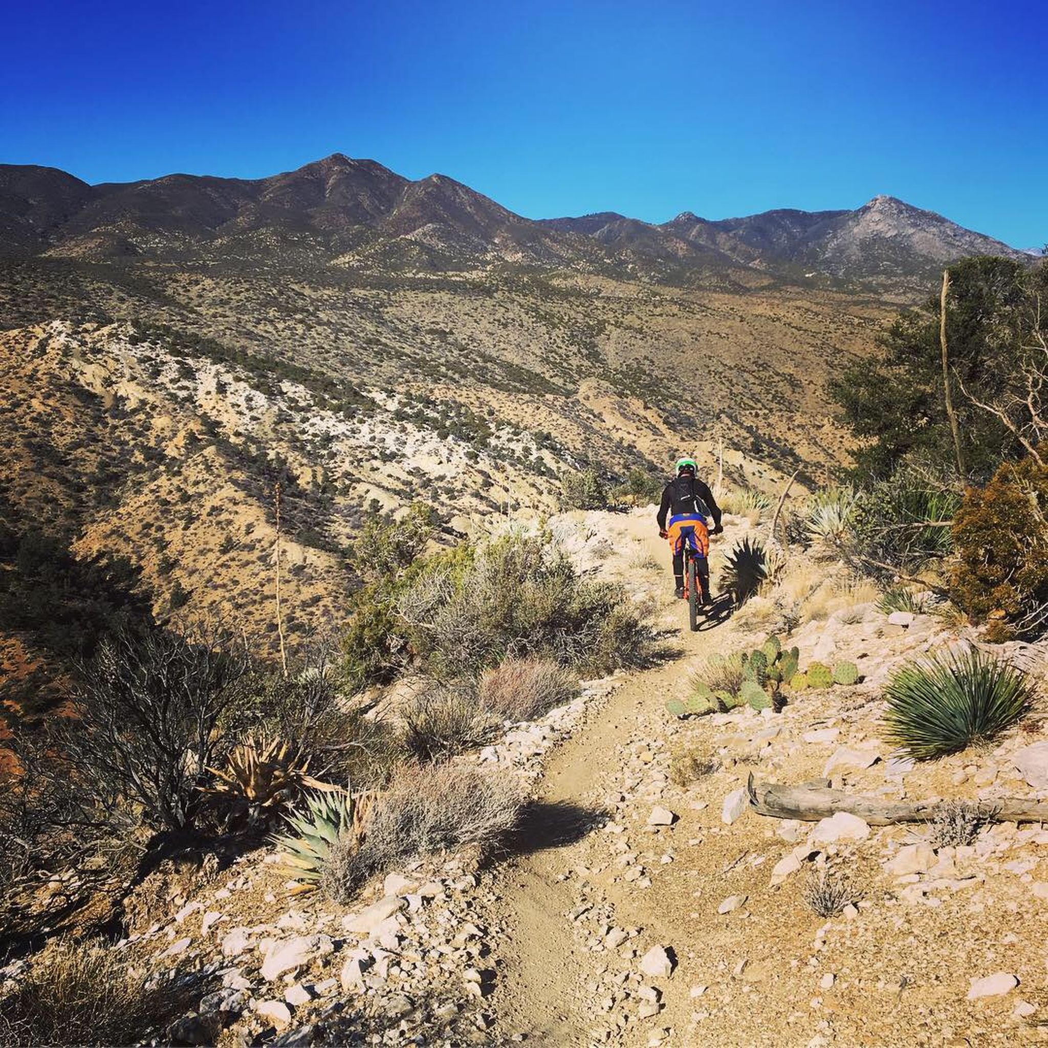
MTB Trails in the San Jacinto Mountains
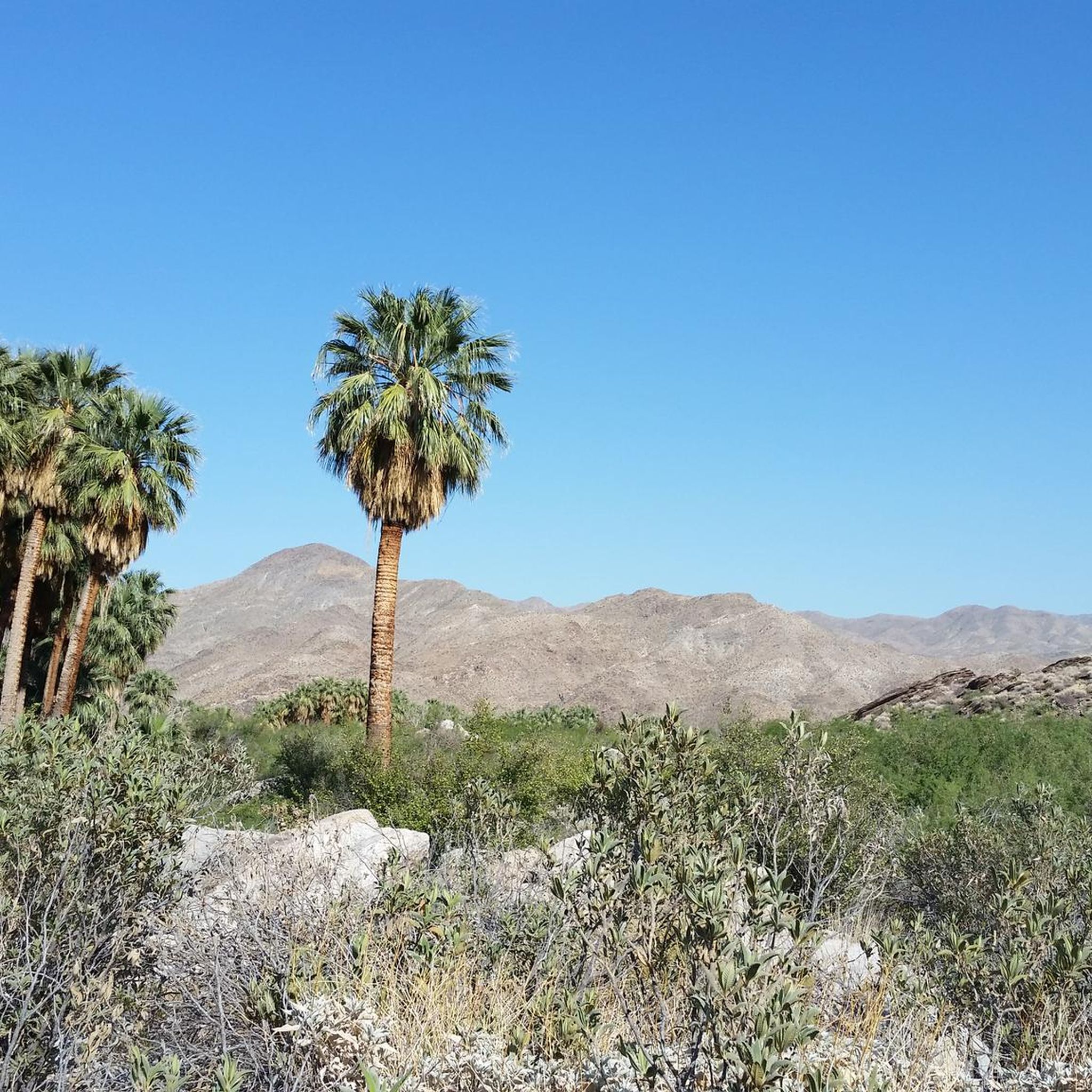
Cycling in the San Jacinto Mountains
Other adventures in the San Jacinto Mountains


Tips from the Community


The speed limit varies but common sense should prevail…
0
0
Great ice cream 🍦 when you’re trying to cool down or escape the heat. Lots of flavours “never do one scoop, it’s not enough ¡ᗰᕼO²”…🤣
0
0
Koffi opens at 06:30 am which is perfect if you’re out early avoiding the heat. Great ᑕOᖴᖴᕮᕮ ☕️ ᗩᗰᗩZ¡ᑎᏀ ᑕᗩᏦᕮ 🍰 (the cinnamon bun with icing is to die for)
0
0
This is a great vantage point to see the wind farm. Remember the turbines are there because it’s windy…
0
0


The Palm Springs Art Museum, itself a work of art designed by mid-century master architect E. Stewart Williams, is located on North Museum Way in downtown and is the unmissable crown jewel of Palm Springs' passion for the arts.
5
0
The Forever Marilyn Statue in Palm Springs is an iconic landmark that captures the essence of old Hollywood glamour. Created by artist Seward Johnson, the 1,000-foot-tall statue depicts Marilyn Monroe in her famous pose from the 1955 film The Seven Year Itch. The statue is a must-see in the heart of Palm Springs and a popular photo spot.
4
0
Frequently Asked Questions
How many road cycling routes are available in the San Jacinto Mountains?
There are over 45 road cycling routes available in the San Jacinto Mountains, offering diverse experiences for cyclists of all levels. These include 35 easy routes, 11 moderate routes, and 2 difficult routes.
What kind of terrain can I expect on road cycling routes in the San Jacinto Mountains?
The San Jacinto Mountains offer a remarkable variety of terrain. You'll find routes ranging from relatively flat rides across the valley floor, such as the Coachella & Indio loop via Grapefruit Boulevard, to challenging climbs with significant elevation gain, like the Coachella Valley Vista – Pines to Palms Highway Climb loop from Palm Desert. The landscape transitions from arid desert to sub-alpine forests, with many routes featuring well-paved surfaces, though some adventurous segments might include unpaved sections.
Are there any challenging climbs for experienced road cyclists?
Yes, the San Jacinto Mountains are known for their challenging climbs. A notable ascent is the Black Mountain climb, which features a 5.9-mile climb with an average gradient of 7.6% and an elevation gain of 2,384 feet, reaching a peak of 7,731 feet. For a difficult route with significant elevation, consider the Coachella Valley Vista – Pines to Palms Highway Climb loop from Palm Desert.
What are some scenic viewpoints or landmarks I can see while cycling?
Road cycling routes in the San Jacinto Mountains offer numerous scenic stops. You can experience the dramatic topography, including the northeast face plunging 9,000 feet in less than four miles. Routes like the Palm Canyon – Palm Springs Art Museum loop from Vons Express pass near Palm Canyon, home to one of the largest systems of native fan palm oases. Higher elevations feature lush meadows and alpine forests. You might also catch glimpses of significant peaks like San Jacinto Peak and Tahquitz Peak.
Are there any family-friendly road cycling routes?
Yes, the region offers several easy routes suitable for families. The City of San Jacinto, nestled against the foothills, has relatively flat terrain ideal for street cycling. Many of the 35 easy routes available, such as the Demuth Park - With Golf Resort – Palm Springs Art Museum loop from Palm Springs, feature minimal elevation gain and are great for a more relaxed family ride.
What is the best time of year to go road cycling in the San Jacinto Mountains?
The San Jacinto Mountains offer cycling opportunities year-round, but the best time depends on your preferred elevation. The lower desert routes are ideal during cooler months (fall, winter, spring). For higher elevations and alpine forests, late spring through early fall offers pleasant temperatures. During winter, higher elevations may experience snow, making them suitable for winter sports rather than road cycling, though lower valley routes remain accessible.
Do I need any permits for cycling in the San Jacinto Mountains?
While general road cycling on paved roads typically does not require permits, it's important to note that permits are required for hiking in designated wilderness areas within Mount San Jacinto State Park. If your route involves venturing into specific wilderness trails or areas, it's advisable to check with the local authorities or the Mount San Jacinto State Park website for any specific cycling regulations or permit requirements. You can find more information at parks.ca.gov/mountsanjacinto.
Where can I find parking for road cycling routes?
Many road cycling routes in the San Jacinto Mountains start from towns like Palm Springs, Palm Desert, or Idyllwild, where public parking is generally available. Specific routes may have designated parking areas at their starting points. For example, routes originating from Vons Express or Indian Wells Tennis Garden often have convenient parking nearby. It's recommended to check the route details on komoot for specific parking suggestions for your chosen tour.
Are there cafes or amenities along the road cycling routes?
Yes, especially if your route passes through or near towns like Idyllwild, Palm Springs, or Palm Desert. Idyllwild, a quaint mountain town, serves as a base for many outdoor activities and offers local amenities, including cafes and restaurants. Many valley routes also pass through areas with access to various services. For example, the Point Happy – Living Desert Zoo loop from Art Smith Trailhead is near developed areas with amenities.
What do other road cyclists enjoy most about road cycling in the San Jacinto Mountains?
The area is highly rated by the komoot community, with an average score of 4.6 stars from over 10 reviews. Reviewers often praise the dramatic and diverse landscapes, the contrast between desert and mountain environments, and the variety of routes catering to different ability levels. Many appreciate the well-paved surfaces and the challenging climbs that offer rewarding views.
Can I reach the San Jacinto Mountains by public transport for cycling?
While direct public transport specifically for cyclists with bikes to trailheads might be limited, major towns in the region like Palm Springs are accessible by various public transport options. From these towns, you might be able to connect to local services or arrange for transport to specific starting points for your cycling routes. It's best to research local bus services or shuttle options in the Palm Springs and Idyllwild areas for the most up-to-date information.
Are there any circular road cycling routes in the area?
Yes, many of the road cycling routes in the San Jacinto Mountains are designed as loops, allowing you to start and end at the same point. Examples include the Point Happy – Road Cycling Route loop from Indian Wells Tennis Garden and the Coachella Valley Vista loop from Coachella Valley. These circular routes offer convenience and a varied cycling experience without retracing your path.
Most popular routes in the San Jacinto Mountains
Most popular attractions in the San Jacinto Mountains

Get inspired with the komoot mobile app


Explore more
Browse the best Road cycling routes in other regions.
