Top 5 Mountain Passes in Wartburgkreis
Best mountain passes in Wartburgkreis are found within a region characterized by scenic hills and low mountain ranges in Thuringia, Germany. These elevated points and routes offer notable features and recreational opportunities. The area provides scenic ascents, panoramic viewpoints, and picturesque routes through its mountainous terrain. Visitors can explore natural landscapes and historical sites across the region.
Best mountain passes in Wartburgkreis
- The most popular mountain passes is Vachaer Stein Pass, a mountain pass that marks the westernmost pass of the Thuringian Forest. The B84 at this pass crosses the Rennsteig, Germany's longest high-altitude hiking trail.
- Another must-see spot is Ascherbrück Pass and Rest Area, a mountain pass where the road between Ruhla and Etterwinden crosses the Rennsteig. This crossing is significantly higher than other passes further west and is a local connecting road with less traffic.
- Visitors also love Bildtanne Pass summit (496 m), a mountain pass that marks the border between Hesse and Thuringia. The ascents from Gotthards and Ketten are each almost 2 km long with gradients up to 10%.
- Wartburgkreis is known for scenic ascents, panoramic viewpoints, and routes through low mountain ranges. These elevated points offer opportunities for hiking and connection to natural landscapes and historical sites.
- The mountain passes in Wartburgkreis are appreciated by the komoot community, with more than 290 upvotes and 45 photos shared.
Last updated: June 26, 2026
Vachaer Stein Pass
Highlight • Mountain Pass
Translated by Google •
Tip by

Ascherbrück Pass and Rest Area
Highlight • Mountain Pass
Translated by Google •
Tip by

Sign up now to discover places like this
Get recommendations on the best single tracks, peaks, & plenty of other exciting outdoor places.
Sign up for free
Vacha or Förtha Stone Obelisk
Highlight • Monument
Translated by Google •
Tip by

Reinhards Schlagbaum Pass (503 m)
Highlight • Mountain Pass
Translated by Google •
Tip by

Bildtanne Pass summit (496 m)
Highlight • Mountain Pass
Translated by Google •
Tip by

Bildtanne Pass – Border Between Hesse and Thuringia
Highlight • Mountain Pass
Translated by Google •
Tip by

Start today with a free account
Your next adventure awaits.
Login or Signup
Popular around Wartburgkreis
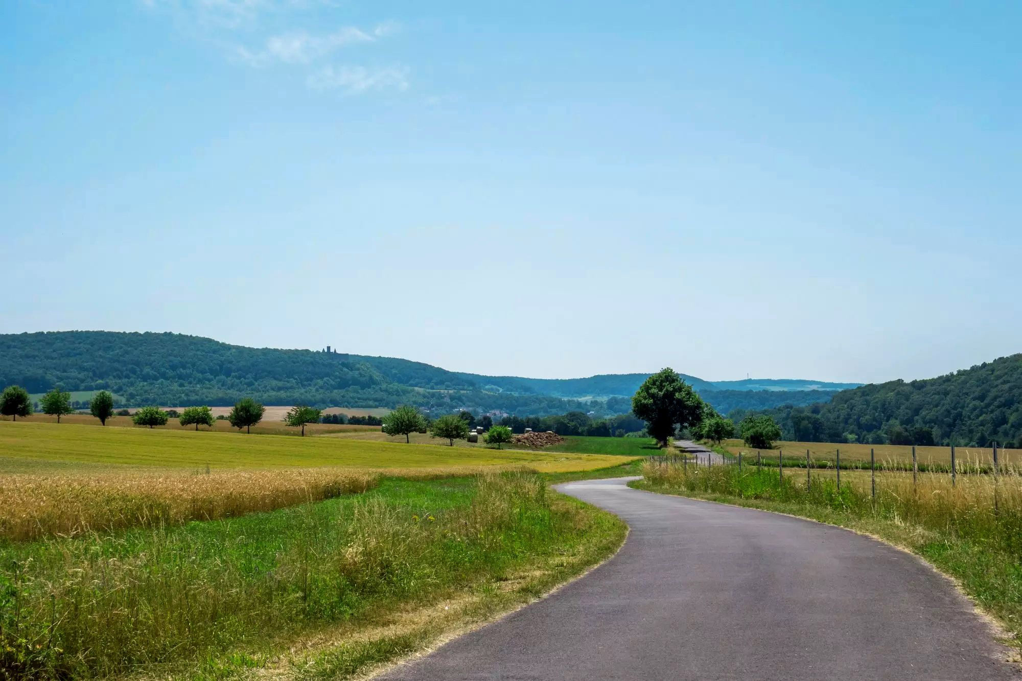
Rhön Cycleway in Germany – Cycling in the Land of Open Distances
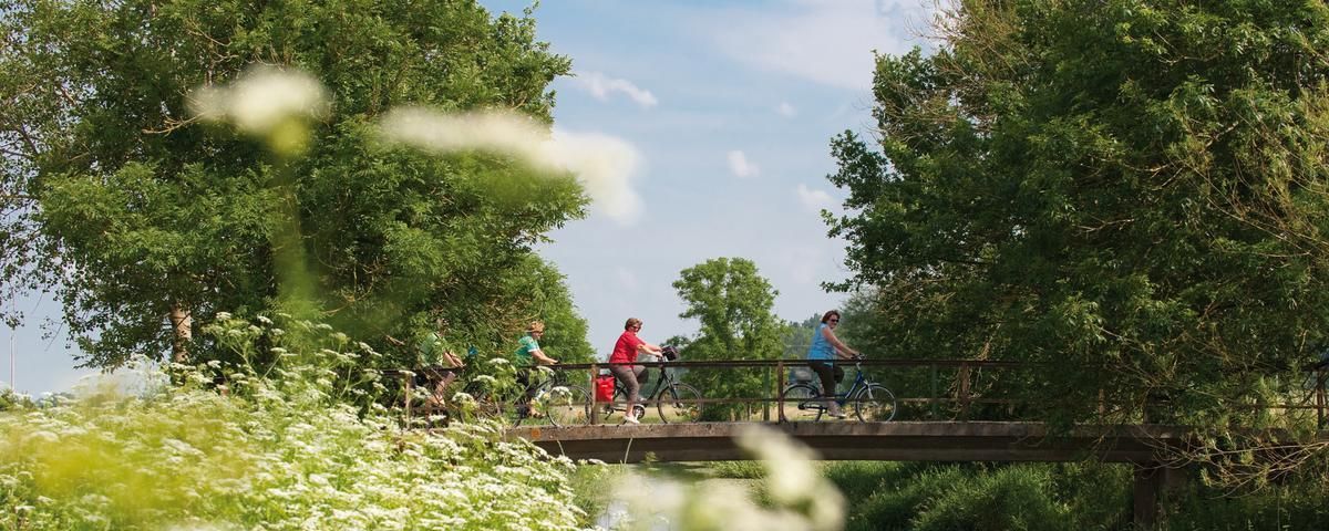
The most beautiful long-distance cycle paths in Franconia
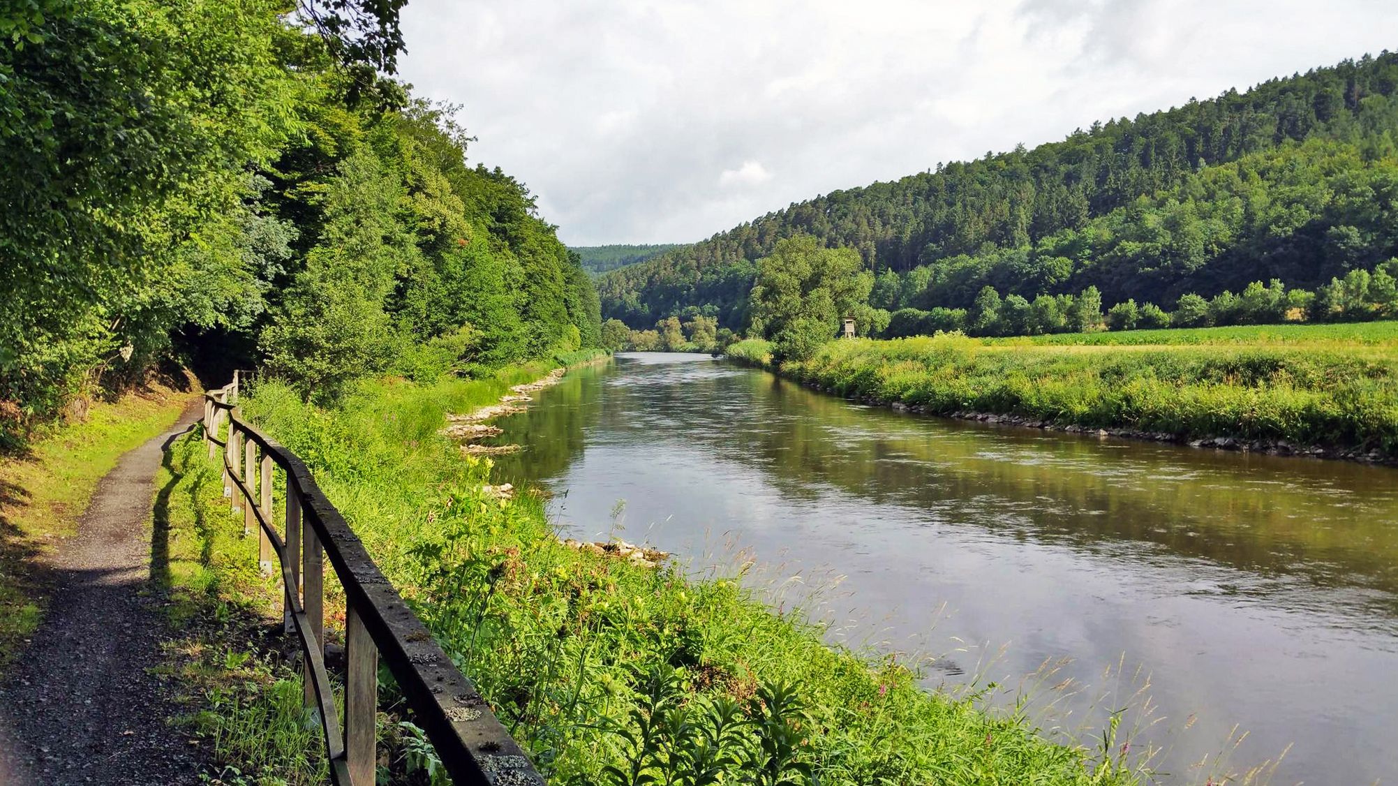
Werratal cycle path — 6 stages along the Werra to the Fulda
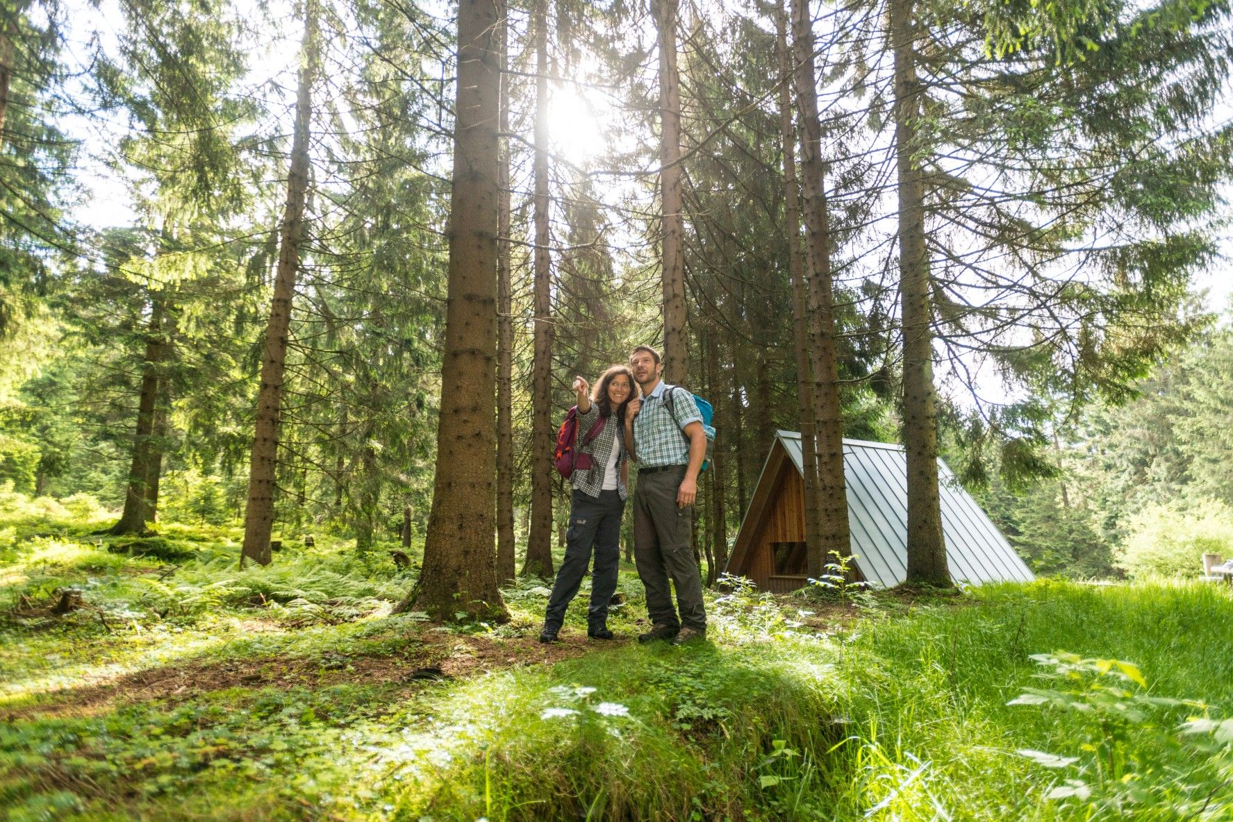
The Rennsteig — Thuringia's most beautiful hiking route
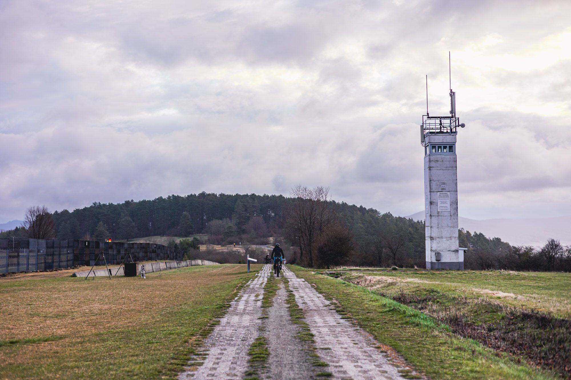
The Baltic Sea to Vogtland – 8 days along Germany's green former border
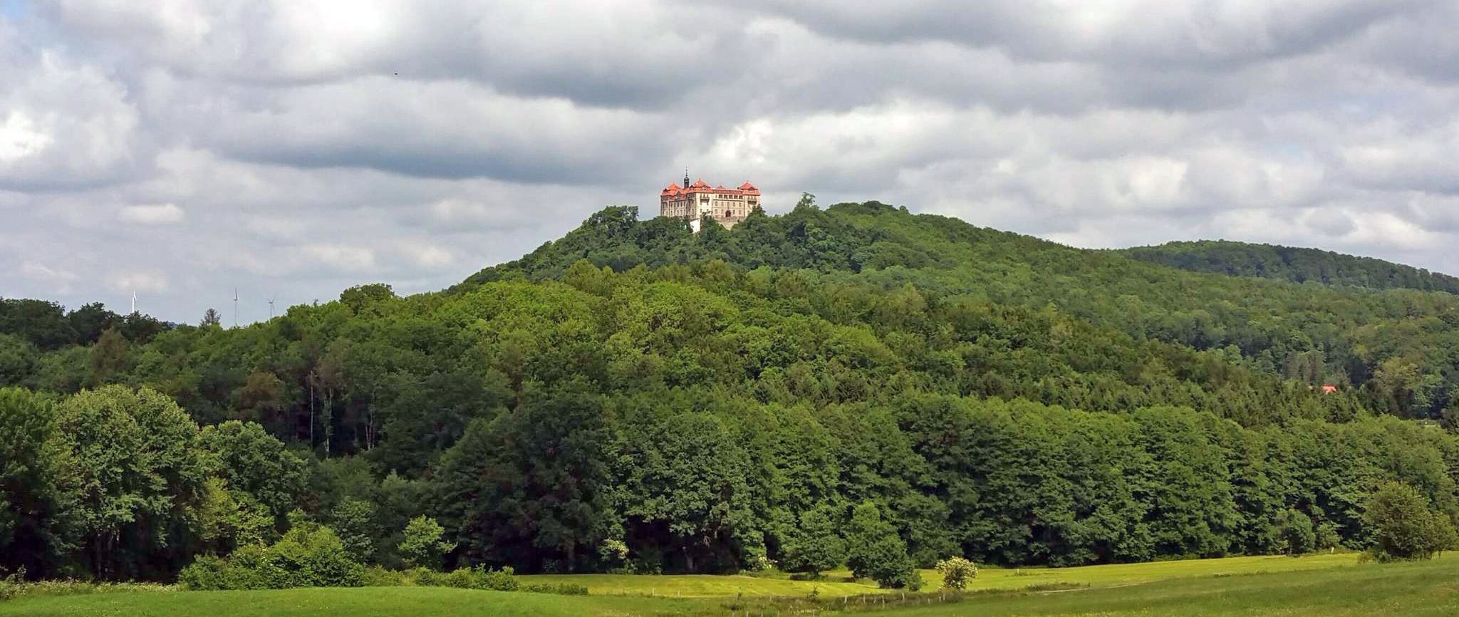
BahnRadweg Hessen — castles, palaces & beautiful nature

Stages of the HOCHRHÖNER Premium Hiking Trail
Autumn Hiking with a view – 7 WOW Tours between Wartburg and Hainich
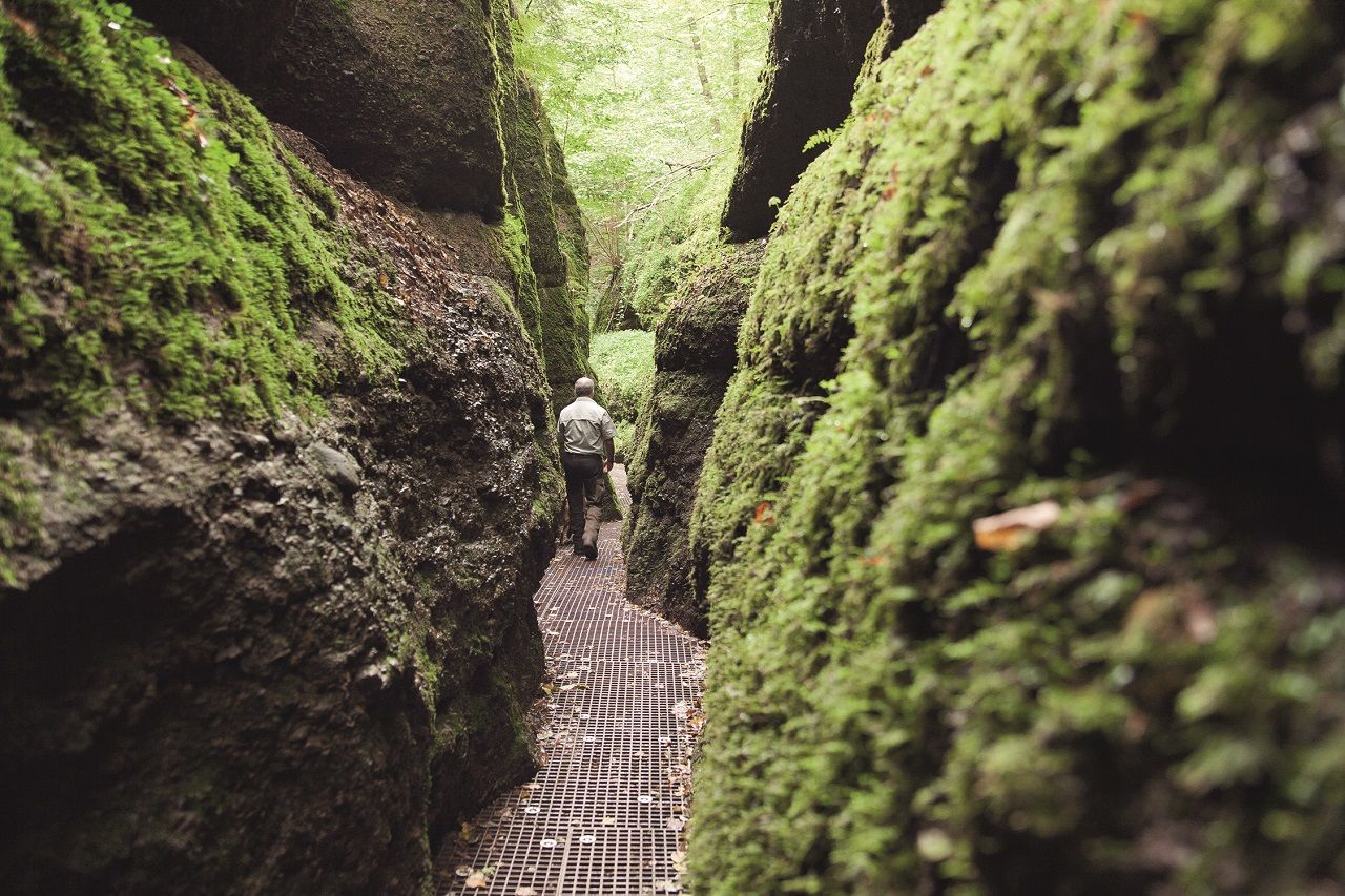
Drachenschlucht and Wartburg – scenic Tours in the Thuringian Forest
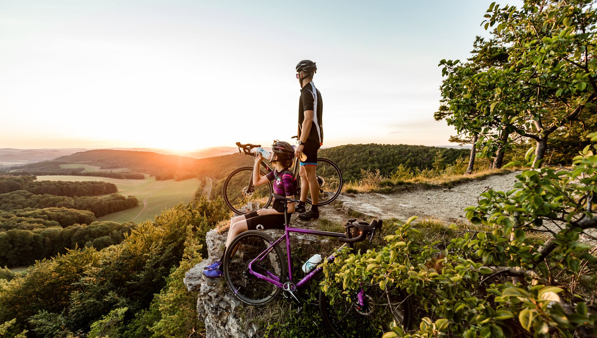
Into the heart of nature in Thuringia – cycle Tours around Eisenach
Other adventures in Wartburgkreis


Tips from the Community

Unfortunately, not very snow-sure.
2
0

The Vachaer Stein pass, along with the "Kalte Küche" pass, is one of the two most important pass crossings in the Thuringian Forest.
2
0
The Vachaer Stein pass, along with the "Kalte Küche" pass, is one of the two most important pass crossings in the Thuringian Forest.
1
0

The Vachaer Stein is somewhat hidden on the federal highway. Incidentally, this is one of the most important passes over the Thuringian Forest and follows the historic Via Regia from Leipzig to Frankfurt am Main. Napoleon also used this road after losing the Battle of the Nations. During the GDR era, the Vachaer Stein also marked the start and finish point of the Rennsteig.
0
0

The Vachaer Stein hiking car park 🪨 is a good starting point for a hike 🥾🥾over the Rennsteig 🌳🌲🌲🌲
1
0

The Vachaer Stein stands on a pass road over the Thuringian Forest. There is a rest area and a parking lot.
8
0

The small pass represents the transition over the ridge between the Nüsttal near Gotthards and the valley of the Siebertsgraben near Reinhards. The turnpike alludes to the border situation that has existed here since 1815. After the end of the Napoleonic era, the Congress of Vienna reorganized numerous territories. The former Bishopric of Fulda and its short-lived successor states were divided between the neighbors. The former Fulda office of Geisa with Reinhard fell to the Grand Duchy of Saxony-Weimar-Eisenach. The former Fulda office of Bieberstein became part of the (titular) Electorate of Hesse-Kassel, which was annexed by Prussia almost 50 years later. Even today, the federal state border between Thuringia and Hesse runs here.
1
0

Old, easy-to-read signpost directly on the street or on the Rennsteig cycle path. Not to be missed.
1
0
Frequently Asked Questions
What are the most popular mountain passes in Wartburgkreis?
The komoot community highly appreciates several elevated points in Wartburgkreis. Among the most popular are Vachaer Stein Pass, known as the westernmost pass of the Thuringian Forest where the B84 crosses the Rennsteig, and Ascherbrück Pass and Rest Area, a significantly higher crossing point on a less-trafficked local road between Ruhla and Etterwinden. Another favorite is Bildtanne Pass summit (496 m), which marks the border between Hesse and Thuringia.
Are there family-friendly mountain passes or elevated points in Wartburgkreis?
Yes, several elevated points and routes in Wartburgkreis are suitable for families. For instance, Vachaer Stein Pass and Ascherbrück Pass and Rest Area are categorized as family-friendly. The Bildtanne Pass summit (496 m) also offers a family-friendly experience with its forest trails and viewpoints.
What natural features can I expect to see around the mountain passes in Wartburgkreis?
Wartburgkreis offers diverse natural beauty. You'll find scenic ascents, panoramic viewpoints, and picturesque routes through low mountain ranges and forests. Notable natural features include the narrow and unique Drachenschlucht (Dragon's Gorge), with its impressive climbing rocks and rock formations, and the unobstructed vistas from Gläserberg Summit, stretching across the Rhön to the Thuringian Forest.
Are there historical sites near the mountain passes in Wartburgkreis?
Yes, the region is rich in history. The Vachaer Stein Pass is part of the old trade route Via Regia and was even used by Napoleon's army. The Vachaer or Förthaer Stein obelisk, located at the pass, has marked the crossing of the Rennsteig since 1833. Additionally, the Öchsenberg summit features a distinctive Celtic cross, and the Krayenberg offers views of the historic Krayenburg castle ruins.
What outdoor activities can I do near these mountain passes?
The elevated points and passes in Wartburgkreis are excellent starting points for various outdoor activities. You can explore numerous hiking trails, such as those found in the Hiking in Wartburgkreis guide. For cyclists, there are many routes for touring bicycles, detailed in the Cycling in Wartburgkreis guide, and mountain biking enthusiasts can find trails in the MTB Trails in Wartburgkreis guide.
Are there specific hiking trails that cross or are near these mountain passes?
Many hiking trails traverse or are accessible from the mountain passes. The Rennsteig, Germany's longest high-altitude hiking trail, crosses both the Vachaer Stein Pass and the Ascherbrück Pass and Rest Area. The "Celtic Path" hiking route leads to the Öchsenberg summit, and the Hochrhön hiking trail runs along the Bildtanne Pass – Border Between Hesse and Thuringia. The "Around the Wartburg" Trail also offers a challenging path over the heights of the Thuringian Forest.
What are the terrain and difficulty levels of the ascents in Wartburgkreis?
The terrain in Wartburgkreis generally consists of scenic hills and low mountain ranges. While not alpine, some ascents can be challenging. For example, the routes to Bildtanne Pass summit (496 m) from Gotthards and Ketten are each almost 2 km long with gradients up to 10% in the steepest passages. Many passes are categorized as 'intermediate' in difficulty, offering a good balance for most hikers and cyclists.
Are there viewpoints with panoramic views in the Wartburgkreis mountain pass region?
Yes, the region is known for its panoramic viewpoints. The Gläserberg Summit, at 671 meters, offers unparalleled views across the Rhön to the Thuringian Forest and the Rennsteig. The Öchsenberg summit also provides extensive panoramic views, shaped by decades of basalt mining. From Hohe Sonne, part of the "Around the Wartburg" Trail, you can enjoy a wonderful view back towards the historic Wartburg Castle.
Where can I find parking near the mountain passes?
Parking facilities are available at several key locations. There is a dedicated hiking car park at the Vachaer Stein Pass, which serves as an ideal starting point for hikes on the Rennsteig. The Vachaer or Förthaer Stein also has a rest area and parking lot. These spots provide convenient access to the trails and passes.
What do visitors enjoy most about the mountain passes in Wartburgkreis?
Visitors particularly enjoy the combination of natural beauty, historical significance, and recreational opportunities. The panoramic views from elevated points like Gläserberg and Öchsenberg are highly praised. The less-trafficked roads, such as the one crossing Ascherbrück Pass and Rest Area, are appreciated by those seeking a more relaxed experience. The unique natural features like the Drachenschlucht and the historical markers at places like the Vachaer Stein also add to the appeal.
Are there places to eat or rest near the mountain passes?
Yes, there are options for resting and refreshments. The Dermbacher Hütte near Gläserberg Summit is a popular hut open on Sundays and public holidays. Near the Öchsenberg summit, a hut is open on weekends slightly further down the slope. At Ascherbrück Pass and Rest Area, you'll find a snack bar with a beer garden right next to the road, offering a convenient stop for hikers and cyclists.
What is the best time to visit the mountain passes in Wartburgkreis?
The region's scenic hills and low mountain ranges are enjoyable throughout much of the year. Spring and autumn offer pleasant temperatures and beautiful foliage, ideal for hiking and cycling. Summer provides longer daylight hours for extended exploration. While winter hiking is possible, it's advisable to check weather conditions and trail accessibility, as some routes might be affected by snow or ice.
Most popular routes in Wartburgkreis
Most popular attractions in Wartburgkreis

Get inspired with the komoot mobile app


Didn’t find what you were looking for?
Find even more amazing mountain passes in Wartburgkreis organized by region:
Explore more
See even more epic mountain passes by checking out these guides in Wartburgkreis:
