The 4 Most Amazing Peaks around São Gonçalo
Mountain peaks around São Gonçalo are found within this municipality in the state of Rio de Janeiro, Brazil. The region features a diverse landscape, including notable elevated points and mountain ranges such as Alto do Gaia and parts of the Serra de Calaboca. São Gonçalo offers opportunities for outdoor activities, with its highest points providing panoramic views. The area combines natural features for exploration with a focus on preserving the Atlantic Forest ecosystem.
Best mountain peaks around São Gonçalo
- The…
Last updated: July 2, 2026
Pico do Areeiro (1,818 m)
Highlight • Summit
Translated by Google •
Tip by

Trail to Pico do Areeiro
Highlight • Trail
Translated by Google •
Tip by

Sign up now to discover places like this
Get recommendations on the best single tracks, peaks, & plenty of other exciting outdoor places.
Sign up for free
Stairway to Heaven – PR1 Vereda do Areeiro
Highlight • Trail
Translated by Google •
Tip by

Governor's Pools
Highlight • Beach
Translated by Google •
Tip by

Radar station on Pico do Areeiro
Highlight • Monument
Translated by Google •
Tip by
Sign up for free to discover even more peaks around São Gonçalo.
Sign up for free
Already have an account?
Start today with a free account
Your next adventure awaits.
Login or Signup
Tips from the Community

The "Stairway to Heaven" is an iconic section of the PR1 Vereda do Areeiro hiking trail. It is located between Pico do Areeiro (1,818 m) and Pico Ruivo (1,862 m), the highest point on the island. This section is characterized by steep stone steps that wind along narrow ridges and rock faces, giving the impression of leading directly to heaven in suitable weather conditions. The combination of dramatic scenery and unique perspective makes this section a popular photo subject for hikers and photographers.
1
0
The radar station at Pico do Areeiro, officially known as Estação de Radar No. 4, is a major military installation of the Portuguese Air Force (Força Aérea Portuguesa). It was commissioned on May 9, 2013, and is part of the national air surveillance system. The radar station is located directly next to the summit of Pico do Areeiro (1,818 m) and is visible from afar due to its distinctive white dome. The summit is accessible via a well-maintained road from the Poiso Pass.
1
0

There is a small path that you can use to climb down.
0
0

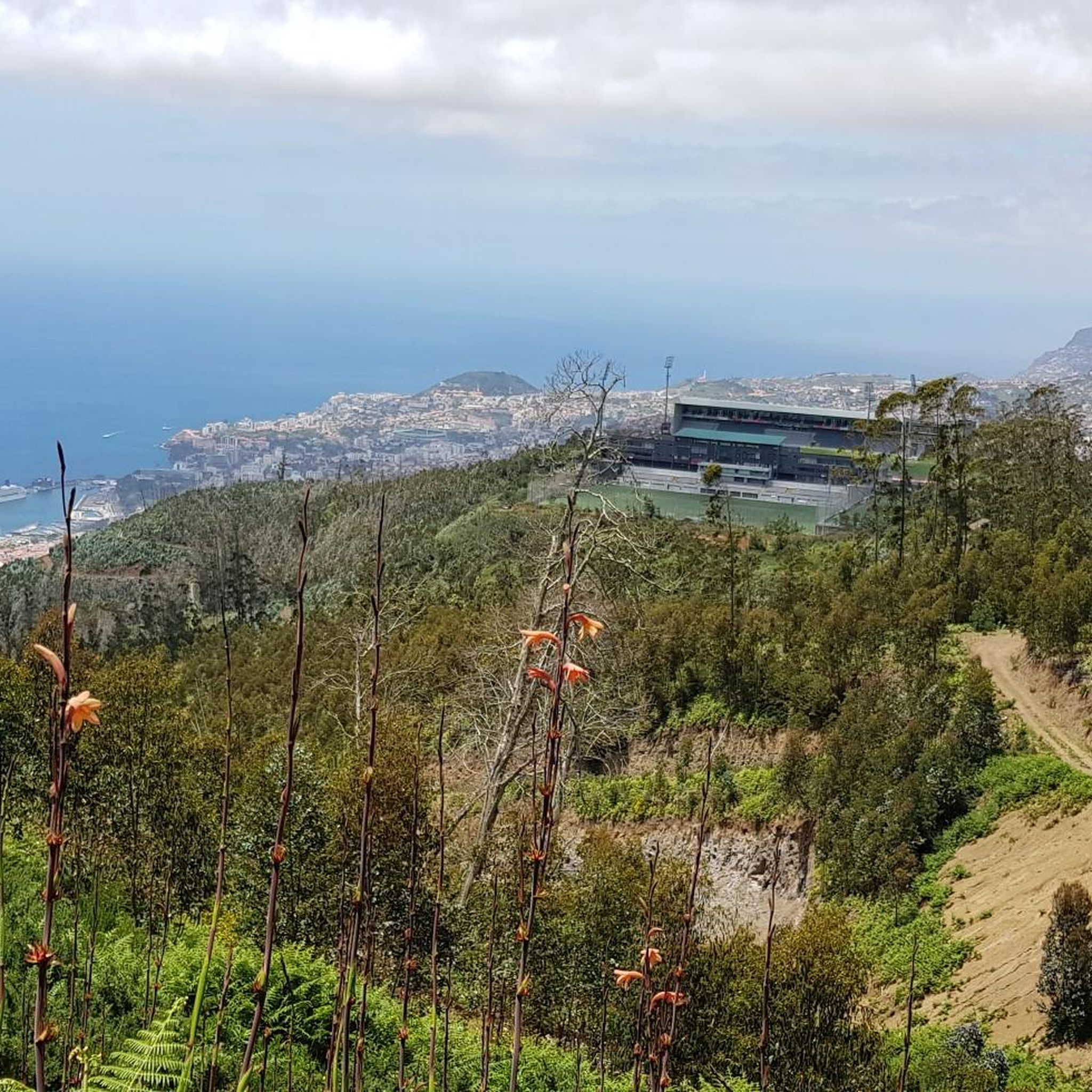
The beautiful hiking trail PR1 starts here from Pico do Areeiro with wonderful views 😍. Unfortunately, it is currently not passable up to Pico Ruivo.
24
1

The path to Pico Ruivo is currently closed due to rockfalls and forest fires. It is recommended to take the northern ascent to the summit.
25
0

Parking at Pico do Areeiro will cost €4 per hour from 1/1/2025 😲, with a 15-minute portion costing one euro. Fortunately, the first 15 minutes are free for those who drop off passengers. In addition, additional parking spaces, including one near "Casa de Abrigo das Sorveiras", offer a lower price of two euros per hour. These rules apply to both tourists and residents.
5
1

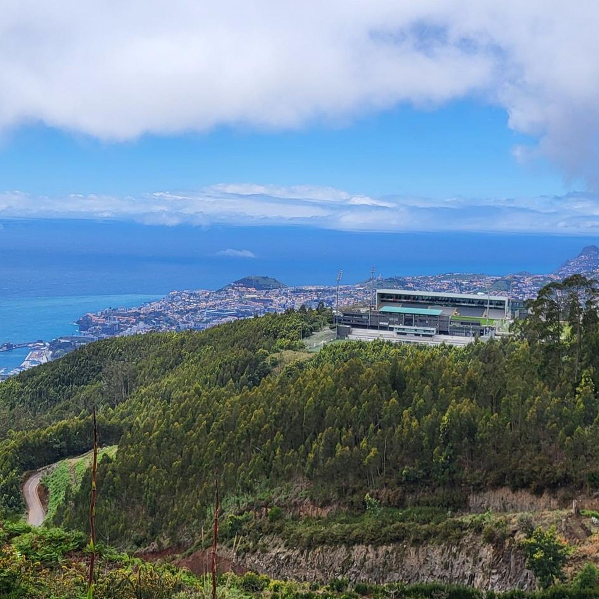
From the lower parking lot you can either walk up the road or take the hiking trail.
5
1

Since the upper parking lot is full relatively early, you can hike up via this alternative route
1
0
Frequently Asked Questions
What are the main mountain peaks and ranges in São Gonçalo?
The primary mountain peak in São Gonçalo is Alto do Gaia, which is the highest point in the municipality. The region also shares part of the Serra de Calaboca mountain range, which features forest reserves.
What is the elevation of Alto do Gaia and what can I see from its summit?
Alto do Gaia reaches an altitude of approximately 538 meters (1,765 feet). From its summit, you can enjoy extensive panoramic views of São Gonçalo, as well as neighboring cities like Maricá and Itaboraí. The mountains of the Serra dos Órgãos are also visible from this vantage point.
Are there hiking opportunities at Alto do Gaia?
Yes, Alto do Gaia is a popular destination for hiking. It offers a moderate trail that is approximately 6 km (3.7 miles) round trip, with an estimated ascent time of about 1 hour and 40 minutes. The trail is generally well-marked.
Is Alto do Gaia suitable for families or those looking for an easy hike?
The trail at Alto do Gaia is considered moderate. While it's a popular spot, visitors should be prepared for a 6 km round trip hike. There's no specific mention of it being 'family-friendly' in terms of ease for very young children, but it's a well-trodden path. Local dogs have been known to accompany hikers, adding a unique touch to the experience.
How can I access Alto do Gaia?
Alto do Gaia can be accessed from the Santa Isabel neighborhood. While there isn't a direct bus line to the trailhead, some sources suggest starting the hike from the gate. The walk from Santa Isabel Square to Alto do Gaia is considered considerable.
What is the natural significance of Alto do Gaia?
Alto do Gaia is recognized as São Gonçalo's first Private Natural Heritage Reserve (RPPN). Although located on private property (Fazenda Santa Edwiges), it is open for public visitation, with an emphasis on respecting the natural environment and local residents.
What is the Serra de Calaboca and where is it located?
The Serra de Calaboca is a mountain range that spans across the municipalities of São Gonçalo, Niterói, and Maricá. It features forest reserves interspersed with quarries and contributes significantly to the natural landscape of the region.
What kind of natural features can I expect to see in the mountain areas of São Gonçalo?
The mountain areas, particularly around Alto do Gaia and within the Serra de Calaboca, offer forest reserves and natural environments. Alto do Gaia, as an RPPN, emphasizes the preservation of its natural features, providing a glimpse into the local flora and fauna.
Where can I find more information about São Gonçalo's natural attractions?
For more information about São Gonçalo's attractions, including Alto do Gaia, you can visit the official municipal website: saogoncalo.rj.gov.br. You can also find general tourist information on Wikivoyage.
What is the best time of year to visit the mountain peaks in São Gonçalo for hiking?
While specific seasonal recommendations for São Gonçalo's peaks are not detailed, generally, the cooler, drier months in Brazil (typically May to September) are more comfortable for hiking to avoid the intense heat and heavy rains of the summer.
Are there any specific landmarks or points of interest along the Alto do Gaia trail?
The primary landmark is the summit itself, offering extensive panoramic views. The trail is known for its natural environment as part of an RPPN, and hikers have noted friendly local dogs sometimes accompanying them along the path.
Most popular routes around São Gonçalo
Most popular attractions around São Gonçalo

Get inspired with the komoot mobile app


Explore more
See even more amazing summits around São Gonçalo with these guides:
