The best gravel rides around Stanhope
5.0
(1)
31
riders
3
rides
Gravel biking around Stanhope offers diverse terrain within a landscape characterized by rolling hills, extensive forests, and numerous lakes. The region provides a network of gravel roads, including quieter paths and decommissioned service roads, suitable for various skill levels. Riders can expect varied elevation changes across routes, with some areas featuring significant climbs. The natural environment includes exposed Canadian Shield rock, wetlands, and dense woodlands, providing a varied backdrop for gravel cycling.
Best gravel bike trails around Stanhope
- The most…
Last updated: October 16, 2026
5.0
(1)
7
riders
67.1km
04:28
450m
450m
Moderate gravel ride. Good fitness required. Mostly paved surfaces. Suitable for all skill levels.
9
riders
83.1km
04:39
430m
430m
Moderate gravel ride. Good fitness required. Mostly paved surfaces. Suitable for all skill levels.

7
riders
31.1km
01:50
160m
160m
Moderate gravel ride. Good fitness required. Mostly paved surfaces. Suitable for all skill levels.
6
riders
41.1km
02:27
200m
200m
Moderate gravel ride. Good fitness required. Mostly paved surfaces. Suitable for all skill levels.
2
riders
14.3km
00:56
80m
80m
Easy gravel ride. Great for any fitness level. Mostly paved surfaces. Suitable for all skill levels.
Our route recommendations are based on thousands of hikes, rides, and runs completed by other people on komoot.
Start today with a free account
Your next adventure awaits.
Tips from the Community

The old train station was built in the late 1800s for the Central Railroad of New Jersey. Today, it serves as a hub for the Califon Historical Society and access point for the Columbia Rail Trail. Supposedly, the name Califon comes from a shortening of "California", since the painter creating the station map didn't leave enough room for the original title.
0
0
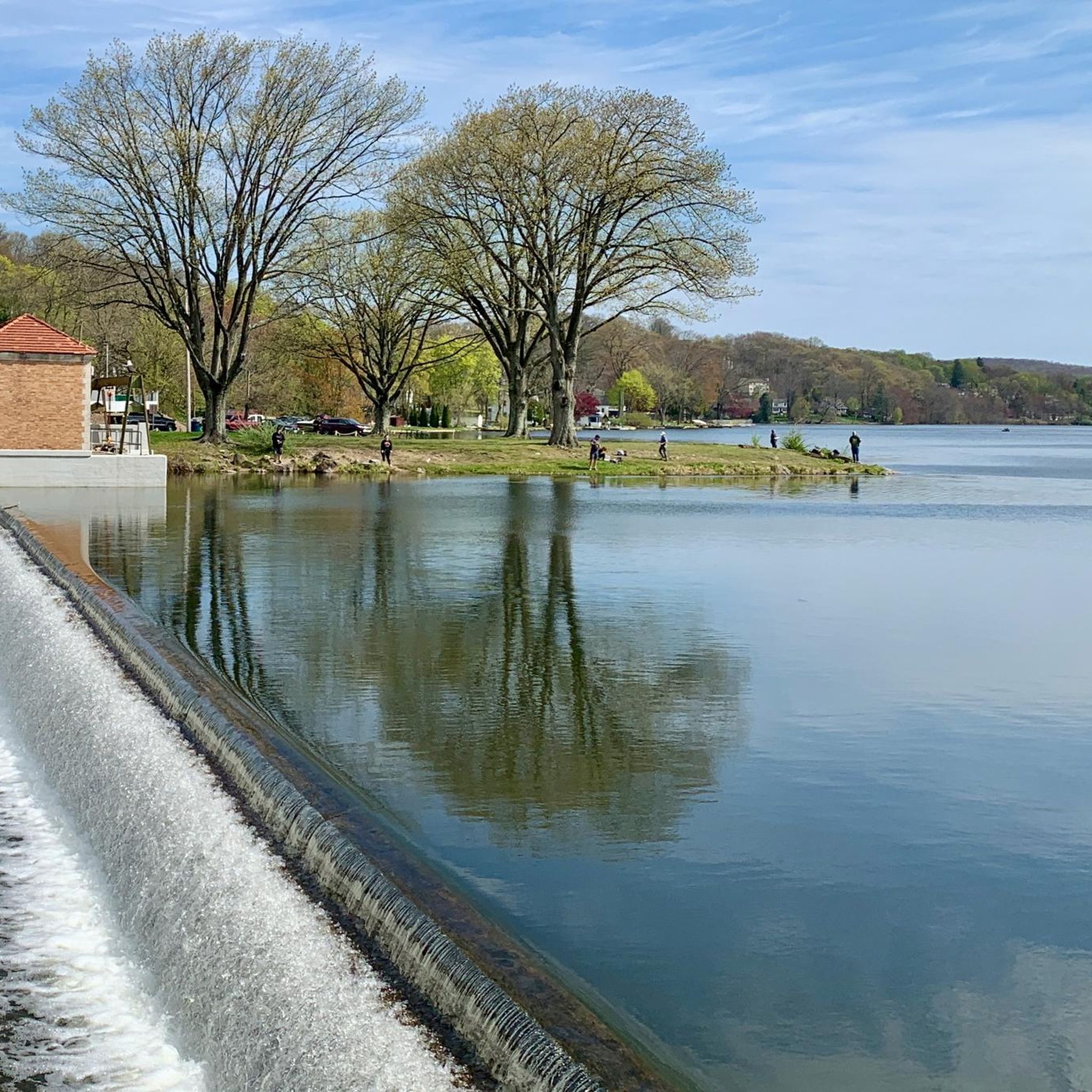
A packed dirt road takes you along the Raritan River at the sheltered base of the gorge. There are plenty of spots to park as you head in from Readingsburg, but most of the road is closed to vehicle traffic and makes for the perfect bike route. You are right next to the water and can bike along both sides of the gorge.
0
0

Kittatinny Valley Park is a popular outdoor recreation area. It has several lakes, including Lake Aeroflex, the deepest natural lake in New Jersey. There are several miles of hiking trails that run through the park, including the Sussex Branch Trail, a 21-mile rail trail that runs through several townships.
1
0
Warbasse Junction is the intersection of the Sussex Branch Trail and the Paulinskill Valley Trail. There are no facilities at this spot, but there are some information boards to give you some valuable information about the area.
1
0
The Sussex Branch Trail is a 21-mile multiuse trail. The trail follows an old railroad corridor and runs between Branchville and Byram. The path is unpaved and changes between dirt, grass, and cinder.
1
0
Great, small wooden bridge over Paulins Kill River. The river is very narrow and not very deep at this point, so the bridge is a short walk to get across. The bridge has no hand ropes, so make sure you are physically able to cross the bridge before attempting.
1
0
Paulinskill River Wildlife Management Area is a 2,300 acre nature preserve along the Paulinskill River. The area is home to a variety of wildlife, including eagles, herons, turtles, and bobcats. The Sussex Branch Trail runs through the southern section of the WMA.
0
0

The Columbia Trail is a gorgeous Greenway along the South Branch Raritan River from this trail head to High Bridge, almost 15.5 miles to the south. Absolutely incredible views all the way through, autumn could be the best time to enjoy the trail. This parking at the northern trailhead isn't very big, but a couple of cars can fit in it.
0
0
Frequently Asked Questions
How many gravel bike trails are available around Stanhope?
The Stanhope area offers a variety of gravel biking opportunities, with several routes available for exploration. The komoot community has mapped and rated multiple trails, providing options for different skill levels and preferences.
What kind of terrain can I expect on gravel bike trails in Stanhope?
Gravel biking in Stanhope and the Haliburton Highlands features diverse terrain, ranging from smooth, rolling gravel roads to more challenging sections with rougher logging road gravel, exposed Canadian Shield rock, and even some sandy parts. You'll encounter rolling hills, dense forests, and scenic views of over 600 lakes and rivers.
Are there any easy gravel bike trails suitable for beginners in Stanhope?
Yes, there are easier options available. For instance, the Whites Pond loop from Andover is an easy 8.9 miles (14.3 km) path with less elevation, perfect for a quicker and more relaxed outing.
What are some of the more challenging gravel bike routes in the Stanhope area?
For those seeking a challenge, the Sussex Branch Trail – Paulinskill Valley Trail loop from Mount Olive is a difficult 45.7 miles (73.6 km) route featuring significant elevation gain through varied terrain. The region's extensive network of gravel roads also includes more remote backcountry adventures with considerable climbs.
Can I find circular gravel bike routes around Stanhope?
Yes, many of the gravel routes in the Stanhope area are designed as loops. For example, the Sussex Branch Trail – Sussex Branch Trail loop from Andover is a 25.5 miles (41.1 km) circular trail that takes you through forested and open sections.
What are some notable natural attractions or landmarks I might see along the gravel trails?
The region is rich in natural beauty. Along the trails, you might encounter scenic lakes like Whites Pond and Lake Musconetcong. The Sussex Branch Trail and Highlands Trail themselves are significant features, offering beautiful views and varied landscapes. You can also explore areas like Kittatinny Valley Park.
Is Stanhope a good destination for family-friendly gravel biking?
Yes, Stanhope and the Haliburton Highlands offer options suitable for families. Easier routes with less elevation, such as the Whites Pond loop from Andover, provide a pleasant experience for riders of varying ages and skill levels.
What is the best time of year to go gravel biking in Stanhope?
The Haliburton Highlands offer beautiful riding conditions through spring, summer, and fall. Each season brings its own charm, from lush greenery to vibrant autumn colors. However, be prepared for varied conditions, as some areas can be remote with limited cell service, especially outside peak seasons.
Are there options for food and drink along the gravel bike routes in Stanhope?
While specific amenities directly on every trail may vary, the broader Haliburton Highlands region is known for incorporating stops at charming villages, bakeries, and breweries into many routes. Planning your ride to pass through these local spots can enhance your experience.
What do other gravel bikers enjoy most about the trails in Stanhope?
The area is highly rated by the komoot community, with an average score of 5.0 stars. Reviewers often praise the diverse terrain, the stunning natural beauty of the Canadian Shield, and the extensive network of gravel roads that allow for remote and scenic exploration.
Is parking available for gravel bikers in Stanhope?
While specific parking details for every trailhead are not provided, many gravel routes in the Haliburton Highlands are accessible from various points, including trailheads and public access areas in and around Stanhope. It's advisable to check specific route details for recommended parking locations.
What kind of wildlife might I encounter while gravel biking in Stanhope?
The Haliburton Highlands are rich in wildlife. As you cycle through dense forests, wetlands, and along lakes, you might spot various bird species, deer, and other small mammals. The region is part of a significant natural habitat, so keeping an eye out for local fauna is part of the experience.
Are there any specific permits or passes required for gravel biking in certain areas?
Some specific areas within the Haliburton Highlands, such as the Haliburton Forest and Wild Life Reserve, require a day or season pass to ride within their property. If your route takes you through provincial parks like Algonquin or Silent Lake, standard park entry fees or passes may also apply.
Most popular attractions around Stanhope

Get inspired with the komoot mobile app


Explore more
Browse the best Gravel rides in other regions.
