The best gravel rides around Torremocha
5.0
(1)
24
riders
6
rides
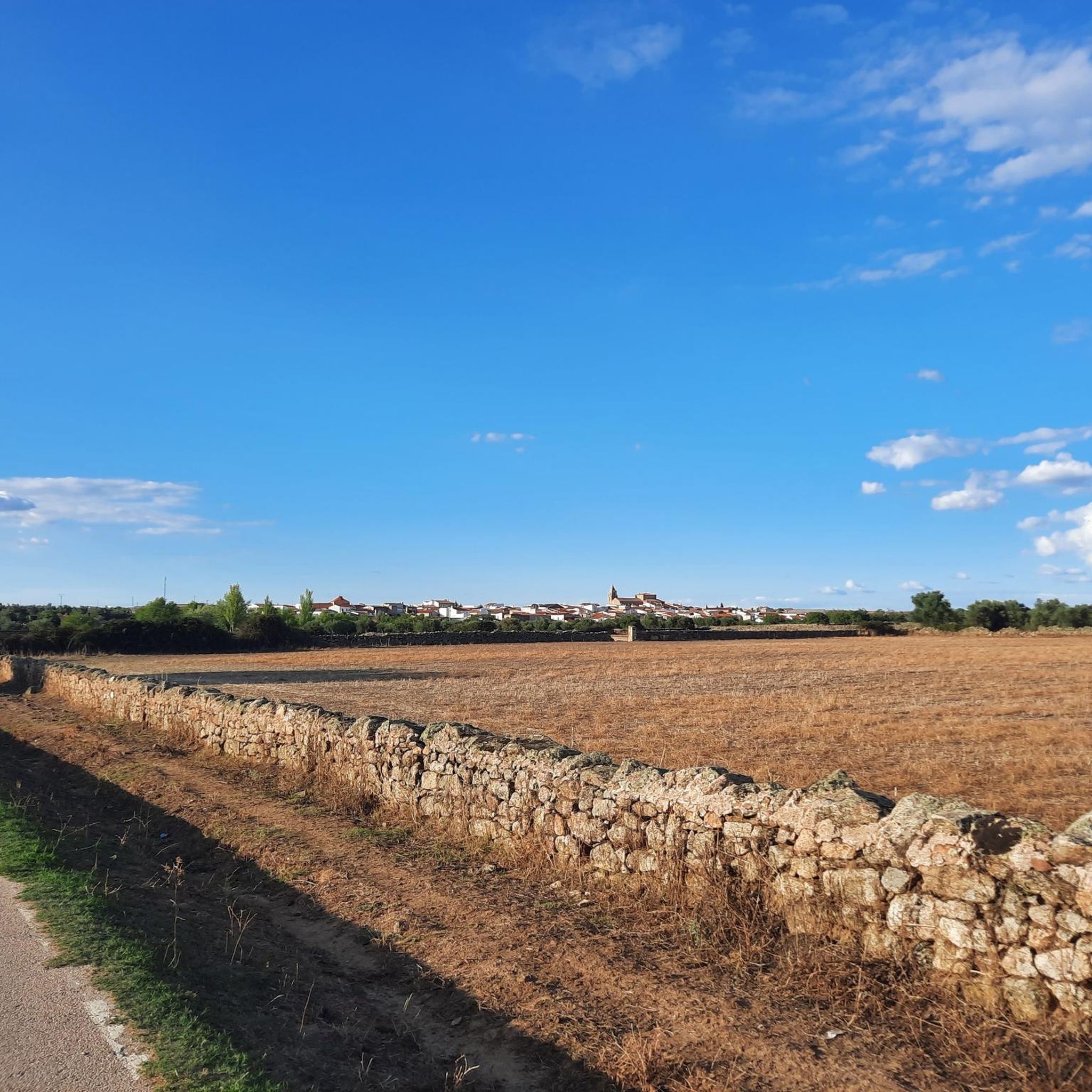
Gravel biking around Torremocha offers diverse landscapes, from the plains and dehesa of Cáceres to the serene Jarama Valley in Madrid. The region features varied terrain, including steppe-like areas, scattered trees and pastures, and ravines carved by streams. These natural features provide a range of unpaved surfaces suitable for gravel cycling. The area is characterized by rural environments, offering routes through olive groves and along riverbanks.
Best gravel bike trails around Torremocha
- The most popular gravel bike trail is Gravel…
Last updated: July 4, 2026
14
riders
120km
09:17
1,010m
1,010m
Hard gravel ride. Very good fitness required. Mostly paved surfaces. Suitable for all skill levels.
5.0
(1)
3
riders
Moderate gravel ride. Good fitness required. Mostly paved surfaces. Suitable for all skill levels.

Sign up for free
2
riders
Moderate gravel ride. Good fitness required. Mostly paved surfaces. Suitable for all skill levels.
3
riders
67.3km
05:08
630m
630m
Hard gravel ride. Very good fitness required. Mostly paved surfaces. Suitable for all skill levels.
1
riders
41.4km
03:01
400m
400m
Moderate gravel ride. Good fitness required. Mostly paved surfaces. Suitable for all skill levels.
Our route recommendations are based on thousands of hikes, rides, and runs completed by other people on komoot.
Start today with a free account
Your next adventure awaits.
Login or Signup
Tips from the Community

TAMUJA BIKE LOOP MTB CENTER, which is what they have called it and which Bikes at Forest has carried out on behalf of the promoter ADISMONTA. Tracks at: https://es.wikiloc.com/wikiloc/user.do?id=14571663
0
0

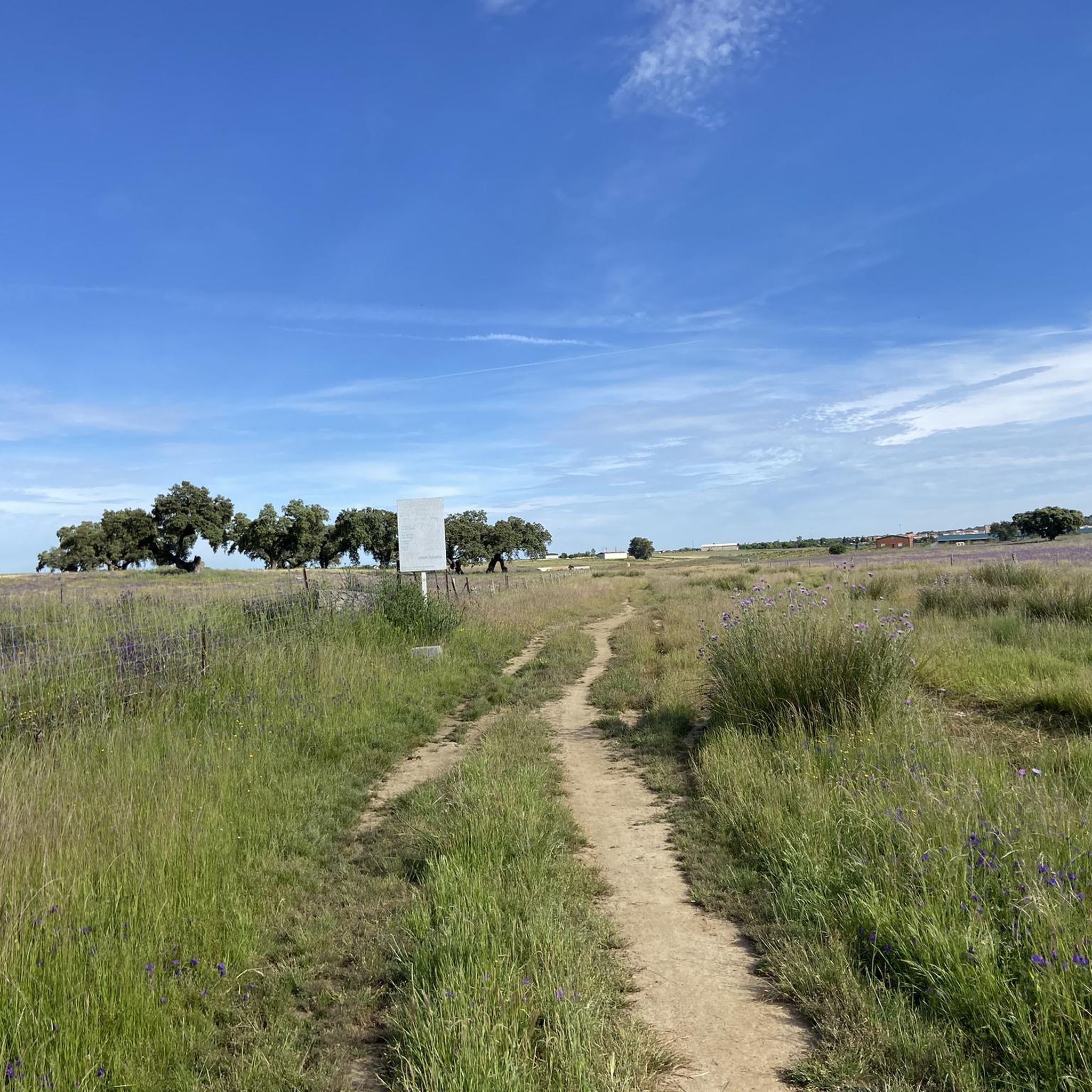
A beautiful stretch with very little traffic that always goes upwards.
0
0

This small reservoir southeast of Cáceres is also known as Tres Torres. It is very popular among fishermen in the area, as carp are abundant. Its banks are an ideal place to stop to rest and perhaps have something to eat in the middle of our route.
0
0

Arroyomolinos is a small town in the Montánchez region, founded around the year 1228 by order of King Alfonso IX on a prehistoric settlement. Stop for a coffee along the way and admire the splendid Church of Nuestra Señora de la Consolación.
1
1
Alcuéscar is a small town in the Sierra de Montánchez region. Founded under the Muslim rule of the Iberian Peninsula around the year 830 and exchanged hands throughout the medieval era.
1
1
Albalá is a small town in a flat region located along an old Roman road that ran between Mérida and Toledo through Trujillo. It became famous for its uranium mines. As you cycle through the city, see the impressive Parroquia de Santa María Magdalena.
1
2
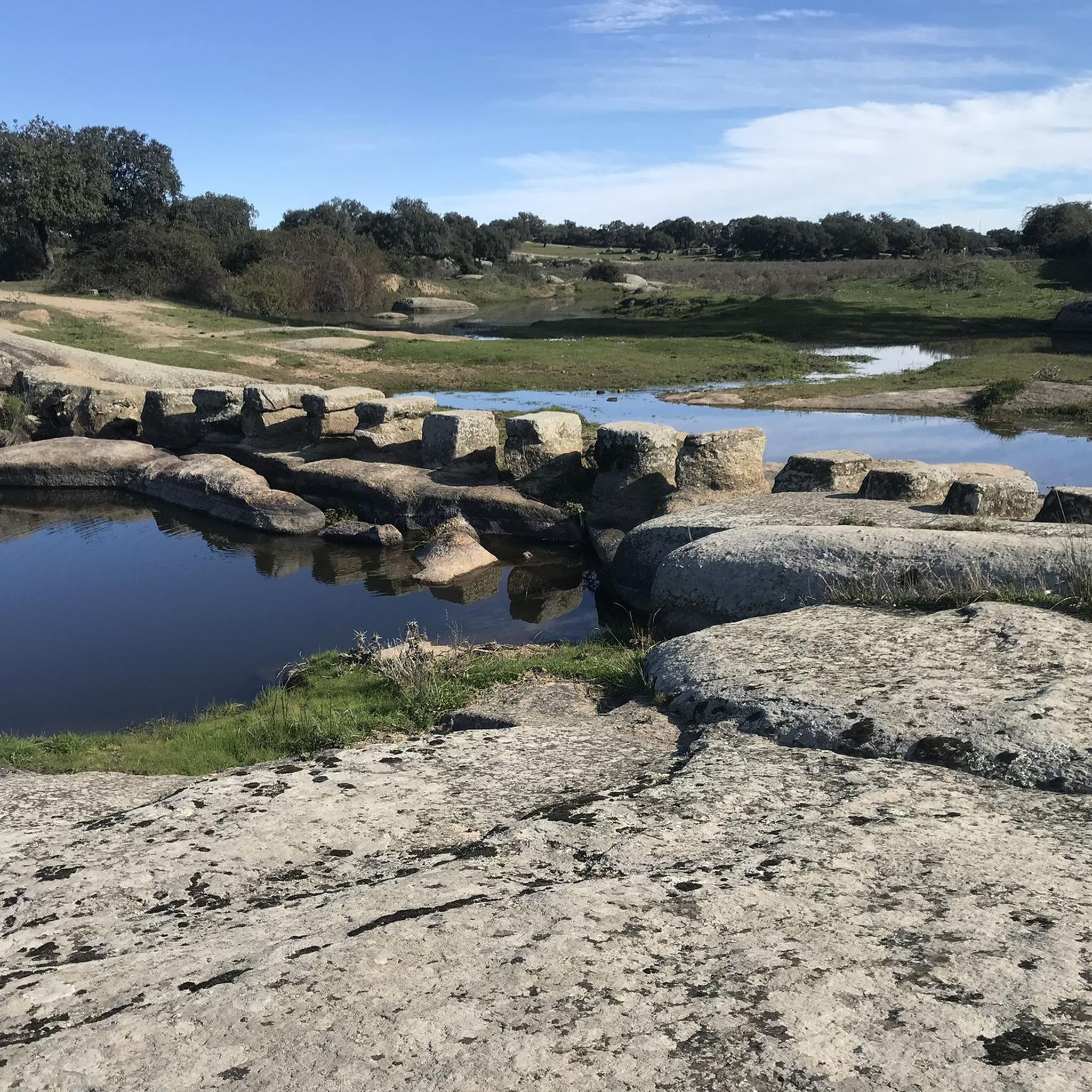
Stone bridge over the Salor river on the route to Torreorgaz. On the south shore you can see the Hermitage of San Isidro. In the dry season the water levels are very low.
1
0
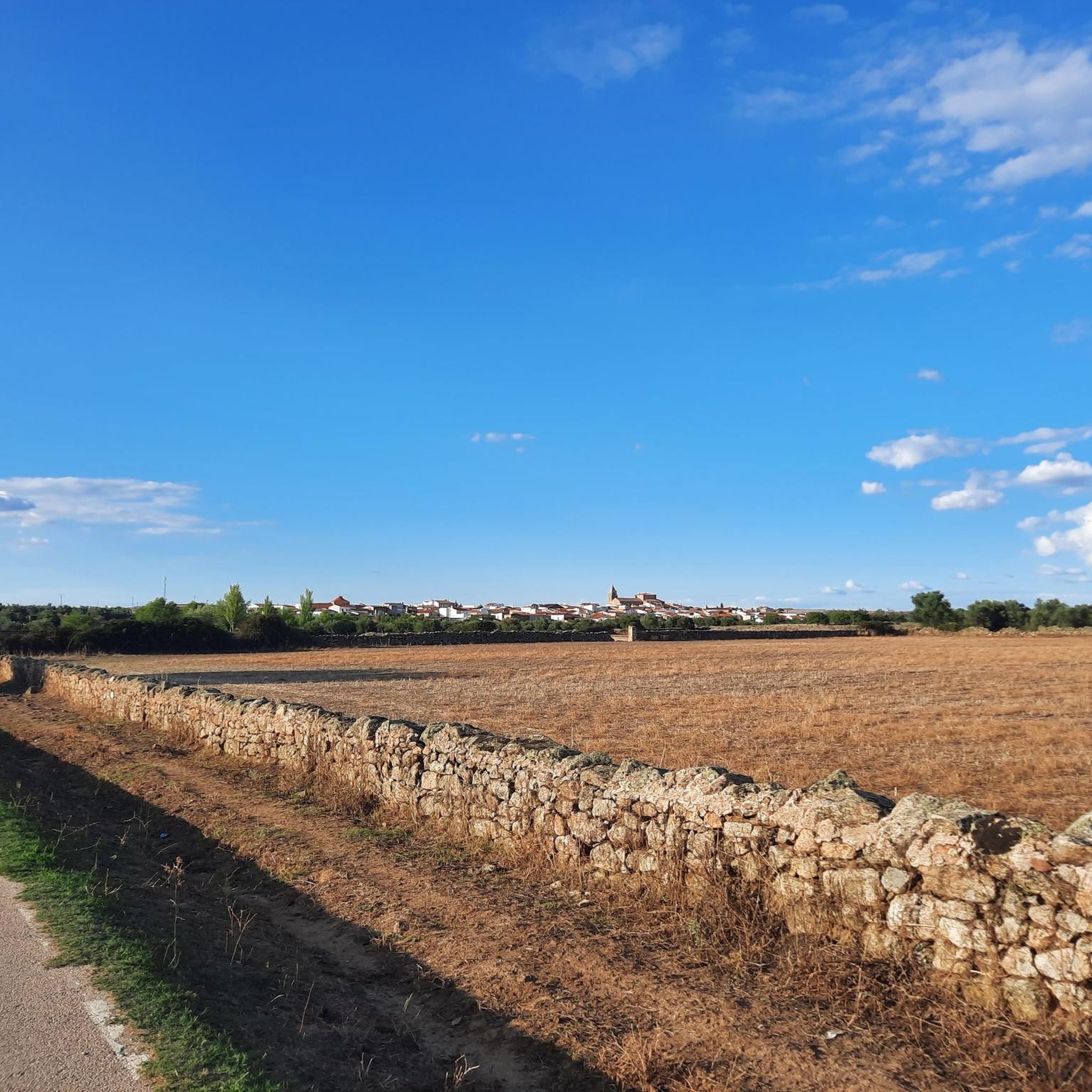
Torreorgaz is a small town that is characterized by the traditional local architecture of whitewashed buildings and clay tile roofs. Located 16 km from the capital Cáceres, check out the Iglesia de San Pedro near the Plaza de España. A good place to rest and eat something.
1
0
Frequently Asked Questions
What kind of terrain can I expect on gravel bike trails around Torremocha?
The Torremocha region offers a diverse landscape for gravel biking. In areas like Torremocha (Cáceres), you'll find steppe-like terrain within the Zona de Especial Protección para las Aves (ZEPA), dehesa landscapes with scattered trees and pastures, and riverbanks. Near Torremocha de Jarama (Madrid), routes often traverse the serene Jarama Valley, olive groves, and ravines carved by streams, providing varied unpaved surfaces.
Are there gravel bike routes suitable for beginners in Torremocha?
Yes, the region offers routes suitable for various ability levels. While some are more challenging, there are moderate options available. For example, the From Aldea del Cano to Albalá – Dehesa de Torremocha loop from Valdefuentes is a moderate 24.2-mile (38.9 km) path that traverses dehesa landscapes, offering a good experience for those looking for a less strenuous ride.
What are some of the more challenging gravel bike routes in the area?
For experienced gravel bikers seeking a challenge, Torremocha has several difficult routes. The Gravel loop from Torreorgaz is a demanding 70.8-mile (113.9 km) trail with over 1000 meters of elevation gain, typically taking over 10 hours to complete. Another difficult option is the Encina Terrona – Drinking Water Fountain loop from Valdefuentes, a 41.8-mile (67.3 km) trail with significant elevation changes.
Are there any circular gravel bike routes in Torremocha?
Yes, all the featured gravel bike routes in Torremocha are designed as loops, allowing you to start and end at the same point. This includes popular options like the From Aldea del Cano to Albalá – Dehesa de Torremocha loop from Valdefuentes and the From Aldea del Cano to Albalá – Carboneros Settlement loop from Valdefuentes.
What is the best time of year to go gravel biking in Torremocha?
The Torremocha region, with its varied landscapes, can be enjoyed across different seasons. The steppe-like terrain in Cáceres transforms seasonally, offering changing backdrops. Generally, spring and autumn provide pleasant temperatures for cycling. While the region is suitable for outdoor activities, it's advisable to check local weather conditions, especially during summer when temperatures can be high, or in winter for potential colder conditions.
Are there any family-friendly gravel biking options in Torremocha?
While specific 'family-friendly' designations aren't provided for all routes, the presence of moderate trails suggests options for families with some cycling experience. Routes through dehesa landscapes or along river valleys, which tend to be less technical, could be suitable. Always check the distance and elevation profiles of a route, such as the moderate From Aldea del Cano to Albalá – Dehesa de Torremocha loop from Valdefuentes, to ensure it matches your family's ability.
What historical or natural landmarks can I see along the gravel bike trails?
The Torremocha region is rich in history and natural beauty. You might encounter landmarks such as the historic Montánchez Castle, dating back to Roman times, or the picturesque Santiago de Bencáliz Bridge. Other notable sights include the Castillo de Las Arguijuelas de Abajo and natural features like The Rock That Moves. Near Torremocha de Jarama, you can explore paths leading to Patones de Arriba, known for its unique black slate houses.
Where can I find parking for gravel biking in Torremocha?
As Torremocha is a rural area, parking is generally available in or near the starting points of routes, particularly in the towns and villages like Valdefuentes or Torreorgaz, which serve as common access points for these trails. It's always recommended to check specific parking availability for your chosen starting location before your ride.
Are there cafes or amenities along the gravel routes in Torremocha?
The region emphasizes rural serenity, so direct amenities on the trails themselves may be limited. However, towns and villages near the routes, such as Valdefuentes, Torreorgaz, or Patones de Arriba (near Torremocha de Jarama), are likely to offer cafes, restaurants, or small shops where you can refuel and find refreshments. Planning your route to pass through these settlements is advisable for breaks.
What do other gravel bikers say about the trails in Torremocha?
The gravel biking routes in Torremocha are highly regarded by the komoot community, with an average score of 5.0 stars. Riders often appreciate the varied terrain, from steppe lands and dehesa to river valleys, which provide a rich and engaging experience. The rural environment and natural beauty are frequently highlighted as key attractions.
How many gravel bike trails are available in the Torremocha region?
There are at least 5 gravel bike trails documented in the Torremocha region, offering a range of distances and difficulty levels for exploration. These routes allow you to discover the diverse landscapes of both Torremocha (Cáceres) and Torremocha de Jarama (Madrid).
Can I access the gravel trails in Torremocha using public transport?
While specific public transport links directly to trailheads may vary, the towns and villages in the Torremocha region are generally accessible by local bus services. For example, towns like Valdefuentes or Torreorgaz, which are common starting points for routes, would be the most likely places to have public transport connections. It's best to research local bus schedules to plan your journey.
Most popular routes around Torremocha
Most popular attractions around Torremocha

Get inspired with the komoot mobile app


Explore more
Browse the best Gravel rides in other regions.
