The best gravel rides around Guadalaviar
4.9
(8)
175
riders
5
rides
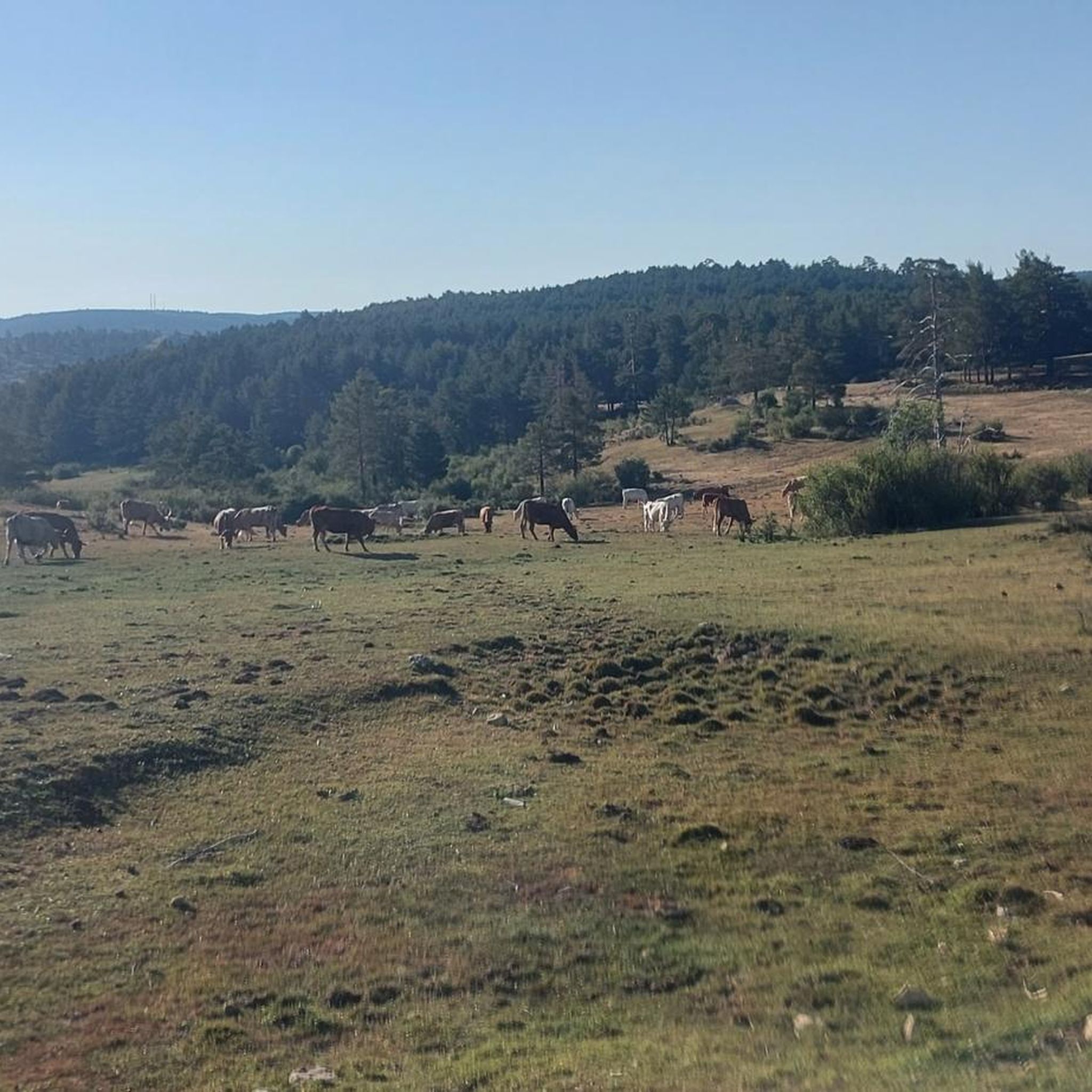
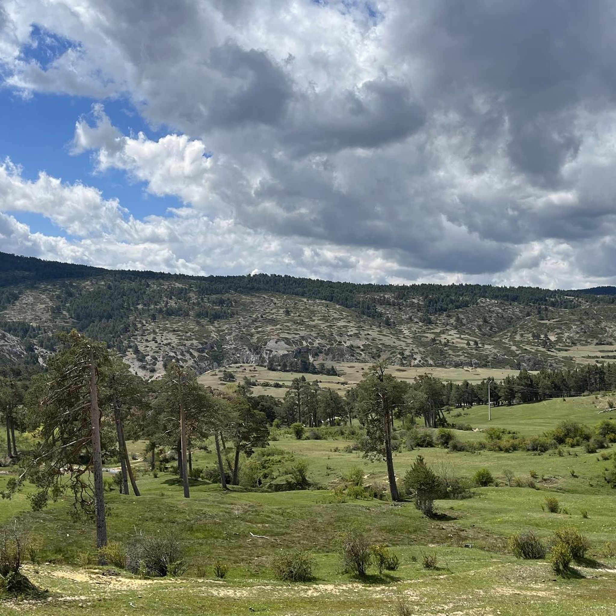
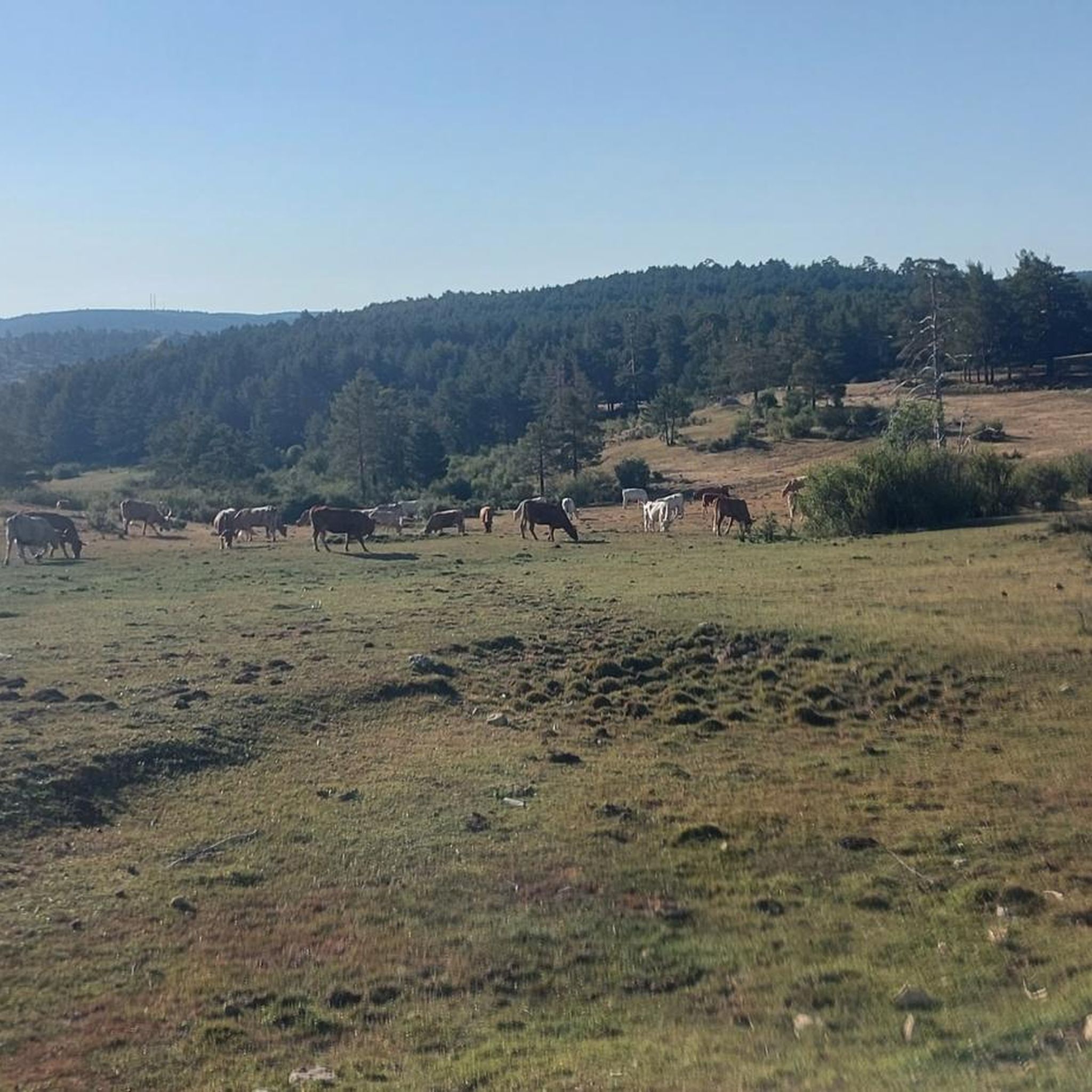
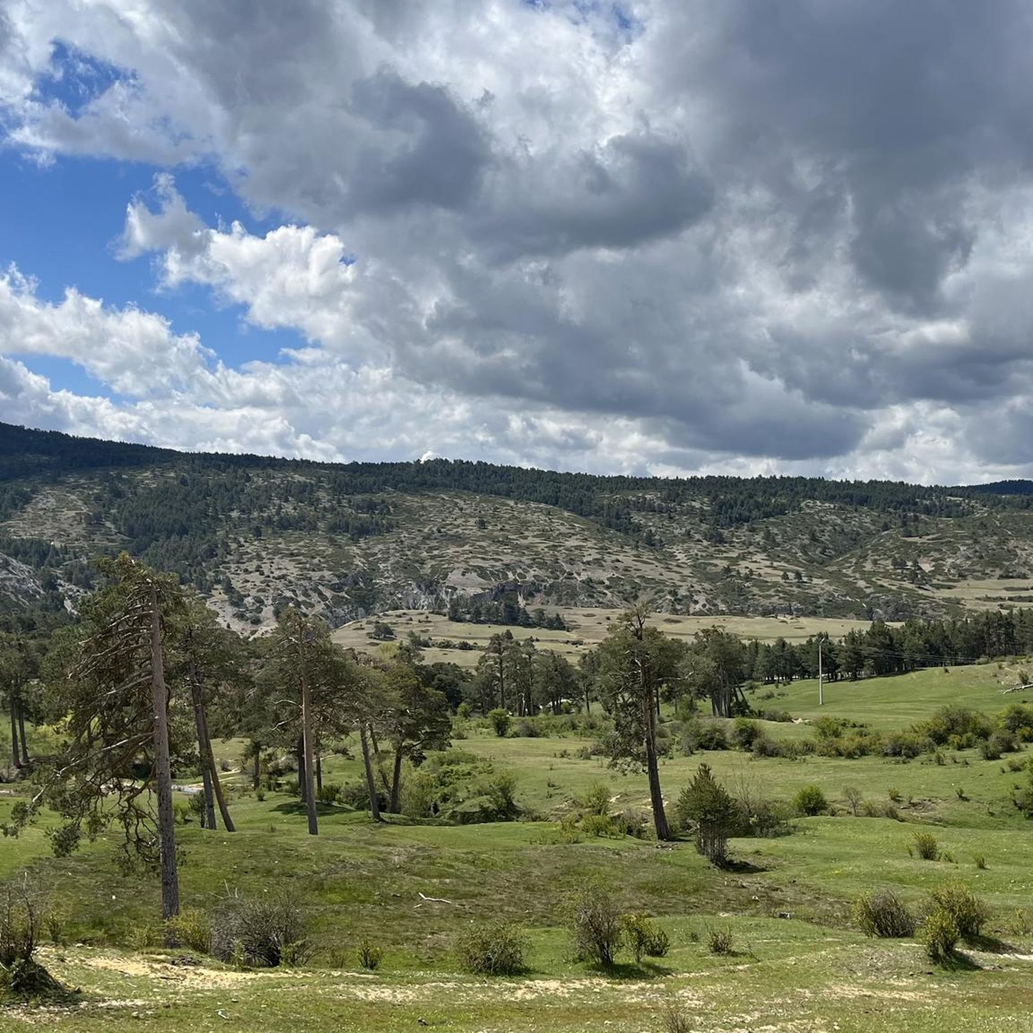
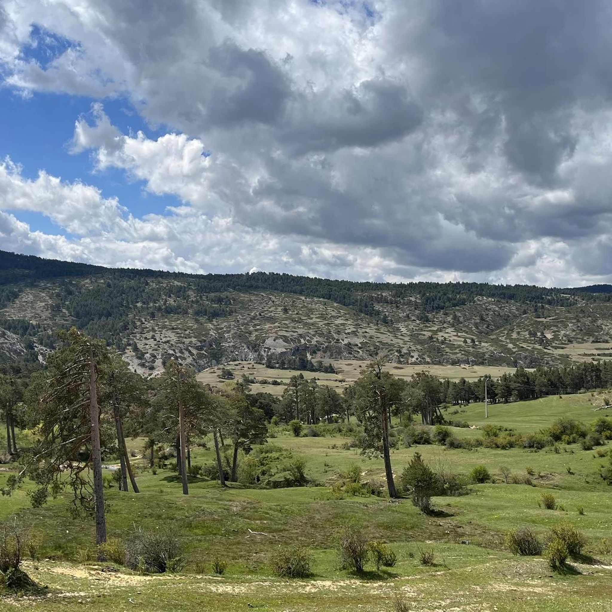
Gravel biking around Guadalaviar, nestled in the Sierra de Albarracín mountains in Teruel, presents a destination known for its diverse and rugged natural features. The terrain is characterized by extensive networks of gravel forest roads and doubletracks, alongside unpaved segments. This area, part of the "Montañas Vacías," features dramatic river canyons, pristine pine forests, and high mountain meadows, offering a sense of solitude and adventure.
Best gravel bike trails around Guadalaviar
- The most popular gravel bike trail is El Cubillo…
Last updated: July 4, 2026
5.0
(2)
33
riders
108km
08:09
2,070m
2,070m
Hard gravel ride. Very good fitness required. Mostly paved surfaces. Suitable for all skill levels.
5.0
(1)
4
riders
39.2km
03:04
490m
490m
Hard gravel ride. Very good fitness required. Mostly paved surfaces. Suitable for all skill levels.

Sign up for free
5.0
(1)
2
riders
32.8km
02:39
430m
430m
Moderate gravel ride. Good fitness required. Mostly paved surfaces. Suitable for all skill levels.
1
riders
48.2km
03:35
940m
940m
Hard gravel ride. Very good fitness required. Mostly paved surfaces. Suitable for all skill levels.
3
riders
38.0km
02:46
550m
550m
Hard gravel ride. Very good fitness required. Mostly paved surfaces. Suitable for all skill levels.
Our route recommendations are based on thousands of hikes, rides, and runs completed by other people on komoot.
Start today with a free account
Your next adventure awaits.
Login or Signup
Tips from the Community

The Jucar River is approximately 500 km long and flows from the Montes Universales to Cullera, where it flows into the Gulf of Valencia.
4
0

The official source of water is located at Fuente de García, in the Montes Universales, within the municipality of Frías de Albarracín (Teruel). It is located at an altitude of approximately 1,590 meters, surrounded by pine forests and high mountain meadows. Access is very easy and well signposted. Take the A-1704 highway, which connects Frías de Albarracín with Huélamo (Cuenca). From the highway, a paved detour of approximately 2 km takes you directly to the recreational area and the monument. There is free parking next to the monument.
10
0
Access is very easy and well signposted. Take the A-1704 highway, which connects Frías de Albarracín with Huélamo (Cuenca). From the highway, a paved detour of approximately 2 km takes you directly to the recreational area and the monument. There is free parking next to the monument.
5
0
The official source is located at Fuente de García, in the Montes Universales, within the municipality of Frías de Albarracín (Teruel). It is located at an altitude of approximately 1,590 meters, surrounded by pine forests and high mountain meadows.
5
0

It is a reference to the place where the longest river in Spain originates, stretching over 1,000 km and flowing into neighboring Portugal. These statues symbolize this point in the Albarracín mountain range.
8
0

A good place to stop: fountain, park and bar
0
0
A stop with a fountain, park and bar
0
0

Perfectly natural in a beautiful location.
4
0
Frequently Asked Questions
What is the overall difficulty level for gravel biking in Guadalaviar?
Gravel biking in Guadalaviar is generally suited for riders with good fitness and advanced skills. The region features a mix of gravel forest roads and doubletracks, but also includes unpaved and challenging segments. Out of the routes available, 4 are considered difficult, and 1 is moderate, indicating a preference for more experienced riders.
Are there any long-distance gravel biking routes in the Guadalaviar area?
Yes, for those seeking a significant challenge, the region offers longer routes. For instance, the El Cubillo Pass – El Portillo Pass loop from Peña la Varga spans over 108 kilometers with substantial elevation gain, making it a demanding full-day adventure.
What kind of terrain can I expect on gravel bike trails around Guadalaviar?
The terrain around Guadalaviar is diverse, featuring a mix of gravel forest roads and doubletracks. You'll also encounter some unpaved and challenging segments, which contribute to the area's reputation for immersive gravel biking experiences. The routes often traverse high-elevation plateaus and extensive pine and juniper forests.
What natural landmarks can I see while gravel biking near Guadalaviar?
The region is rich in natural beauty. You can encounter dramatic canyons like Barranco Mingo Marco, and the significant Source of the River Tagus. There are also unique rock formations such as Moricacho of the Gorge and picturesque spots like the Molino Waterfall.
Are there any circular gravel biking routes available from Guadalaviar?
Yes, several routes are designed as loops. A notable option is the Griegos – Dehesa de Boyales loop from Guadalaviar, which offers a challenging ride through the local landscapes.
What is the best time of year for gravel biking in Guadalaviar?
While specific weather conditions vary, the region's high-altitude environment suggests that spring and autumn generally offer the most pleasant temperatures for gravel biking. Summers can be hot, and winters may bring snow to higher elevations, making these seasons potentially more challenging.
What do other gravel bikers enjoy the most about gravel biking in Guadalaviar?
The area is highly rated by the komoot community, with an average score of 4.94 stars. Reviewers often praise the profound sense of solitude and adventure offered by the remote 'Montañas Vacías' (Empty Mountains), as well as the diverse and rugged natural features.
Are there any routes that pass by the Source of the River Tagus?
Yes, the Source of the River Tagus – Griegos loop from Griegos is a moderate route that takes you past this significant natural landmark, offering scenic views of the pristine pine forests and high mountain meadows.
Are there any routes suitable for very good fitness levels?
Absolutely. Routes like the Griegos – Dehesa de Boyales loop from Alto de la Cuesta de Codes are specifically noted as hard gravel rides requiring very good fitness, traversing challenging segments of the Serranía de Cuenca Natural Park.
What kind of wildlife might I encounter on the trails?
The area is known for its rich biodiversity, often described as a 'European safari park.' You might spot deer, wild boar, and a variety of birds of prey such as golden eagles, Egyptian vultures, bearded vultures, and griffon vultures soaring above the canyons.
Are there any viewpoints along the gravel biking routes in Guadalaviar?
Yes, many routes offer spectacular vistas. For instance, the gorges around Guadalaviar feature points like the Upper views of the gorge, providing breathtaking perspectives of the river's course through dramatic canyons.
Most popular attractions around Guadalaviar

Get inspired with the komoot mobile app


Explore more
Browse the best Gravel rides in other regions.
