The best running trails around Guadalaviar
19
runners
7
runs
Jogging around Guadalaviar offers a diverse landscape for runners. The region is characterized by its varied terrain, including river valleys, forested areas, and significant elevation changes, with some routes reaching over 1,800 meters. Trails often pass through picturesque villages and alongside natural water features like waterfalls and springs. This area provides a mix of moderate and challenging running experiences.
Best jogging routes around Guadalaviar
- The most popular jogging route is Fuente del Buey Local Trail, an 8.1 miles (13.0…
Last updated: October 6, 2026
13.0km
01:29
240m
240m
This moderate 8.1-mile jogging circular from Frías de Albarracín offers varied terrain and views from Alto de los Pozuelos.
4.87km
00:33
110m
110m
Moderate run. Good fitness required. Mostly paved surfaces. Suitable for all skill levels.

13.4km
01:37
150m
150m
Moderate run. Good fitness required. Mostly paved surfaces. Suitable for all skill levels.
12
runners
16.6km
02:20
740m
740m
Hard run. Very good fitness required. Mostly paved surfaces. Suitable for all skill levels.
3
runners
12.0km
01:20
140m
140m
Moderate run. Good fitness required. Mostly paved surfaces. Suitable for all skill levels.
Get access to more routes and recommendations from other explorers.
Already have an account?
Our route recommendations are based on thousands of hikes, rides, and runs completed by other people on komoot.
Start today with a free account
Your next adventure awaits.

Tips from the Community

Griegos is a charming village located in the Albarracín mountain range. Griegos is also known for being one of the highest villages in Spain, at 1,601 meters above sea level. It's also a perfect place to enjoy outdoor activities such as horseback riding, hiking, and mountain biking.
25
0
Griegos is a charming village located in the Serranía de Albarracín. Griegos is also known for being one of the highest villages in Spain, at 1601 meters above sea level. In addition, it is a perfect place to enjoy outdoor activities such as horse riding, hiking and mountain biking.😎🌄🚶♀️🚴🚵
12
0

Beautiful waterfall at the Júcar River Mill near Tragacete.
1
0


The path passes through the springs of the Júcar river, runs through the Estrecho del Infierno ravine and connects with a forest track that descends through the river basin. In the birth canyon there are sections with stones and in the rainy season it can have some flow. The water gushes out between the rocks at the exit of the gorge.
0
1
The path leaves the pine forest and enters the rocky slopes of the mid-mountain, populated by large bushes of creeping juniper. The forest clears up and increases the environmental panorama of the Serranía. The path continues its ascent up the mountainside until it culminates at the top of San Felipe Peak (1,850 m). The summit is a rocky spur with good views and some bonsai pines shaped by the mountain wind. The weather of the sierra carves curious forms in the specimens that dare to grow in the solitude of the peaks. The route continues in the same direction along the mountain range.
0
1
The Strait of San Blas is an alley of large limestone walls opened by the course of the Júcar River in the limestone wall that separates the Muela de San Felipe and the Sierra de Valdeminguete. Nearby is the San Blas Hostel, built in 1950 in a heavenly setting. The access leaves the town of Tragacete along a well indicated paved track that passes by some waterfalls and the hostel. In the car park there is a fountain and a small area with benches at the foot of the limestone walls. The trail leaves the crossroads to the left, at the entrance to the gorge, to the south. The track is marked with yellow and white markings for the PR-CU 4 trail and the PNSC-S11 milestones for the San Blas-San Felipe-Río Cuervo trail. The path on the right goes towards the source of the Júcar river and is the return route.
0
1

A few kilometers from the town of Tragacete and located in a wonderful setting on the bed of the Júcar river, the Molino waterfall is an impressive place that is worth visiting. You can do the short itinerary by parking in the recreational area, or take a slightly longer tour along the various paths that lead here.
1
1
Frequently Asked Questions
How many running routes are available in Guadalaviar?
There are currently 5 curated running routes around Guadalaviar on komoot, offering a range of experiences from moderate to more challenging ascents.
Are there any challenging running trails in Guadalaviar for experienced runners?
Yes, for those seeking a more demanding run, the San Felipe (1,850 m) – Estrecho del Infierno loop from Tragacete is a difficult 16 km route with significant elevation gain, reaching up to 1,850 meters.
Can I find running routes with waterfalls in Guadalaviar?
Absolutely! The region is known for its natural water features. You can enjoy views of the Cascada del Molino de La Chorrera waterfall on the moderate Cascada del Molino de La Chorrera – running from Tragacete route. Additionally, the Cuervo River Waterfall and Molino Waterfall are notable natural monuments in the area.
Are there any circular running paths in Guadalaviar?
Yes, several routes offer a loop experience. For instance, the Guadalaviar - Griegos - circular running by the Fuente Coveta is a moderate 13.4 km loop that takes you through rural villages and past natural springs. Another option is the Running loop from Frías de Albarracín.
What kind of scenery can I expect on the running trails around Guadalaviar?
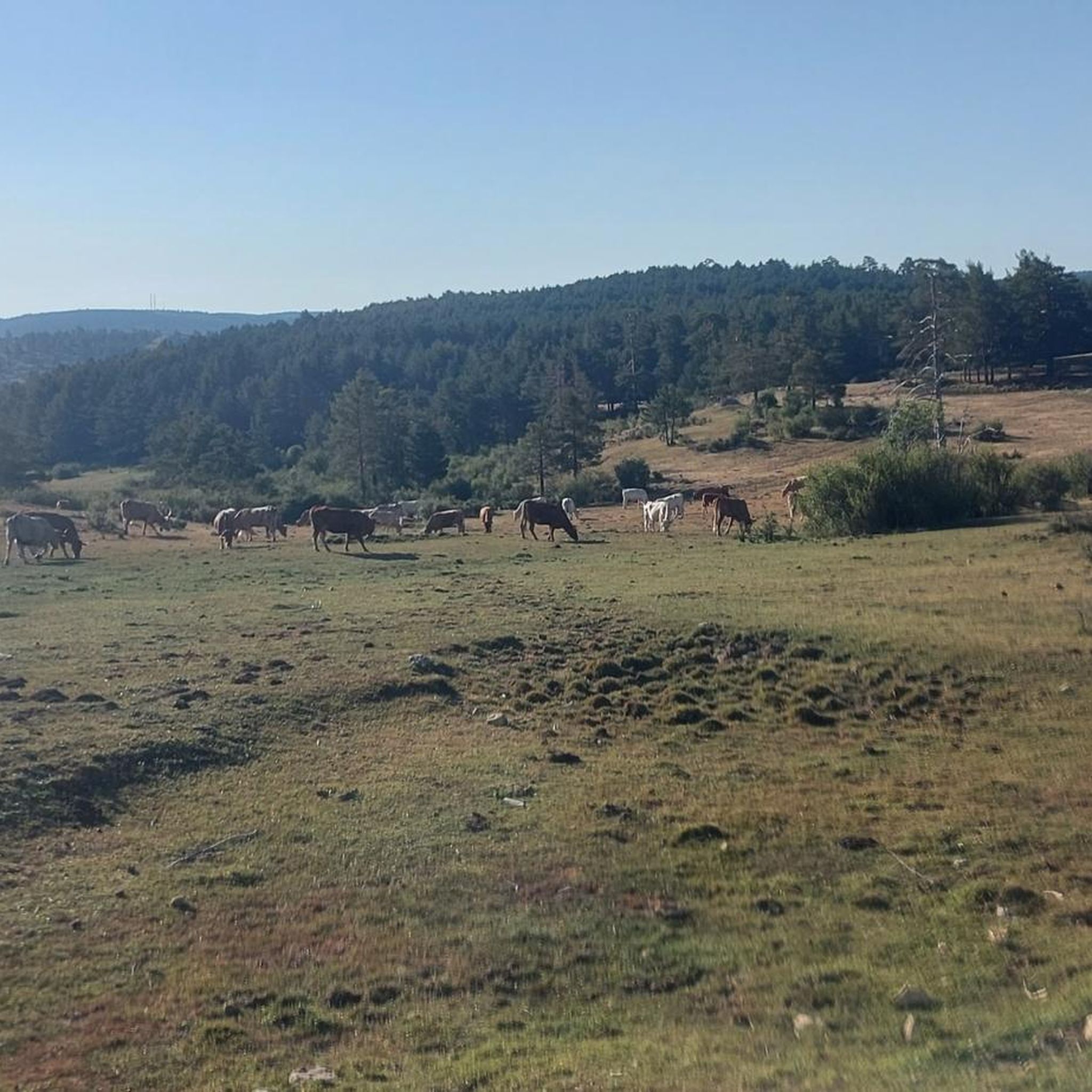
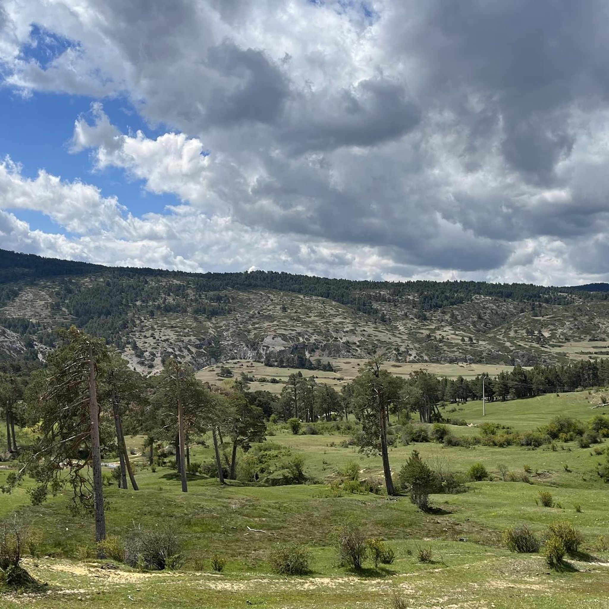
Runners in Guadalaviar can expect a diverse landscape featuring river valleys, dense pine forests, and notable hills. Many routes pass through picturesque villages and alongside natural springs, offering a mix of natural beauty and cultural glimpses.
Are there any points of interest or landmarks to see while running in Guadalaviar?
Yes, the region is rich in natural and historical landmarks. Along your runs, you might encounter highlights such as the Moricacho of the Gorge, the Source of the Cuervo River, or the historic Molino de las Pisadas. The charming settlement of Griegos is also a notable spot.
What is the best time of year for running in Guadalaviar?
Guadalaviar offers varied terrain suitable for running across different seasons. While specific recommendations depend on personal preference for weather, the region's diverse landscape with forests and river valleys can provide pleasant conditions in spring and autumn. Summer runs might be best enjoyed in the cooler parts of the day, and winter can offer unique, crisp experiences, especially on lower elevation trails.
Are there any running routes that pass through villages or offer a cultural experience?
Yes, the Guadalaviar - Griegos - circular running by the Fuente Coveta route is an excellent choice. It leads through rural villages like Griegos and past natural springs, providing a blend of natural beauty and local charm.
What do other runners say about the trails in Guadalaviar?
The komoot community has actively explored Guadalaviar, with nearly 20 runners using the platform to discover its varied terrain. Users often highlight the region's diverse landscapes, from river valleys to pine forests, and the mix of moderate to challenging ascents available.
Are there any moderate-difficulty running routes for a steady workout?
Yes, most of the routes in Guadalaviar are classified as moderate, providing a good balance for a steady workout. The Fuente del Buey Local Trail, an 8.1-mile (13 km) route, is a popular moderate option featuring a steady ascent through natural landscapes.
What are the typical distances of running routes in Guadalaviar?
The running routes in Guadalaviar vary in length, catering to different preferences. You can find shorter routes like the 4.9 km Cascada del Molino de La Chorrera – running from Tragacete, as well as longer options such as the 13.4 km Guadalaviar - Griegos - circular running by the Fuente Coveta, and the challenging 16 km San Felipe (1,850 m) – Estrecho del Infierno loop from Tragacete.
Most popular attractions around Guadalaviar

Get inspired with the komoot mobile app


Explore more
Browse the best Running Trails & Routes in other regions.
