The best road cycling routes around Rifflsee
3.6
(10)
404
riders
2
rides
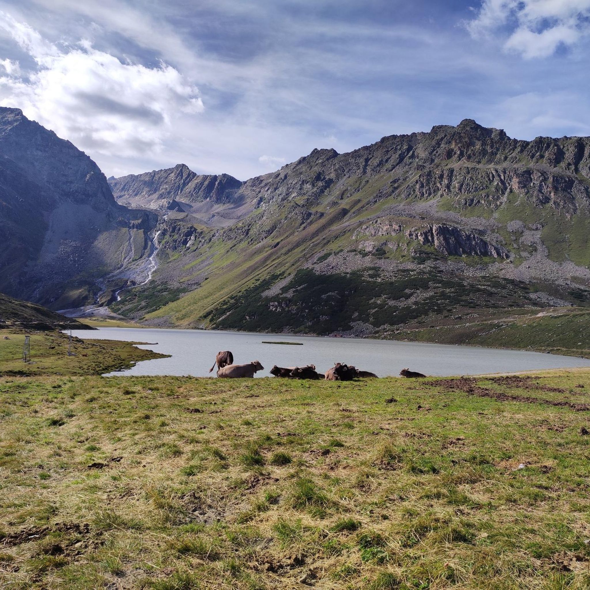
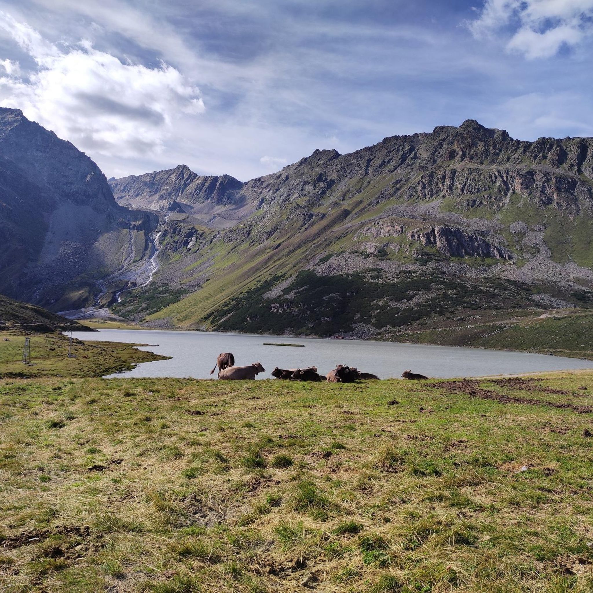
Road cycling routes around Rifflsee are situated in the high-alpine Pitztal Valley of Tyrol, Austria, at an altitude of 2,232 meters above sea level. The region is characterized by the glacial-fed Rifflsee, surrounded by the Ötztal Alps and Kaunergrat peaks. The Pitze river runs through the valley, offering routes with significant elevation changes and panoramic views of the glaciated mountain world.
Best road cycling routes around Rifflsee
- The most popular road cycling route is Vent–Sölden Mountain Road – Sölden Village…
Last updated: October 3, 2026
4.3
(6)
311
riders
84.2km
05:45
2,370m
2,370m
Hard road ride. Very good fitness required. Some segments of this route may be unpaved and difficult to ride.
3.3
(3)
64
riders
Moderate road ride. Good fitness required. Mostly well-paved surfaces and easy to ride.

24
riders
80.5km
04:48
2,050m
2,050m
Hard road ride. Very good fitness required. Some segments of this route may be unpaved and difficult to ride.
3.0
(1)
5
riders
9.41km
00:25
90m
90m
Easy road ride. Great for any fitness level. Mostly well-paved surfaces and easy to ride.
Our route recommendations are based on thousands of hikes, rides, and runs completed by other people on komoot.
Start today with a free account
Your next adventure awaits.
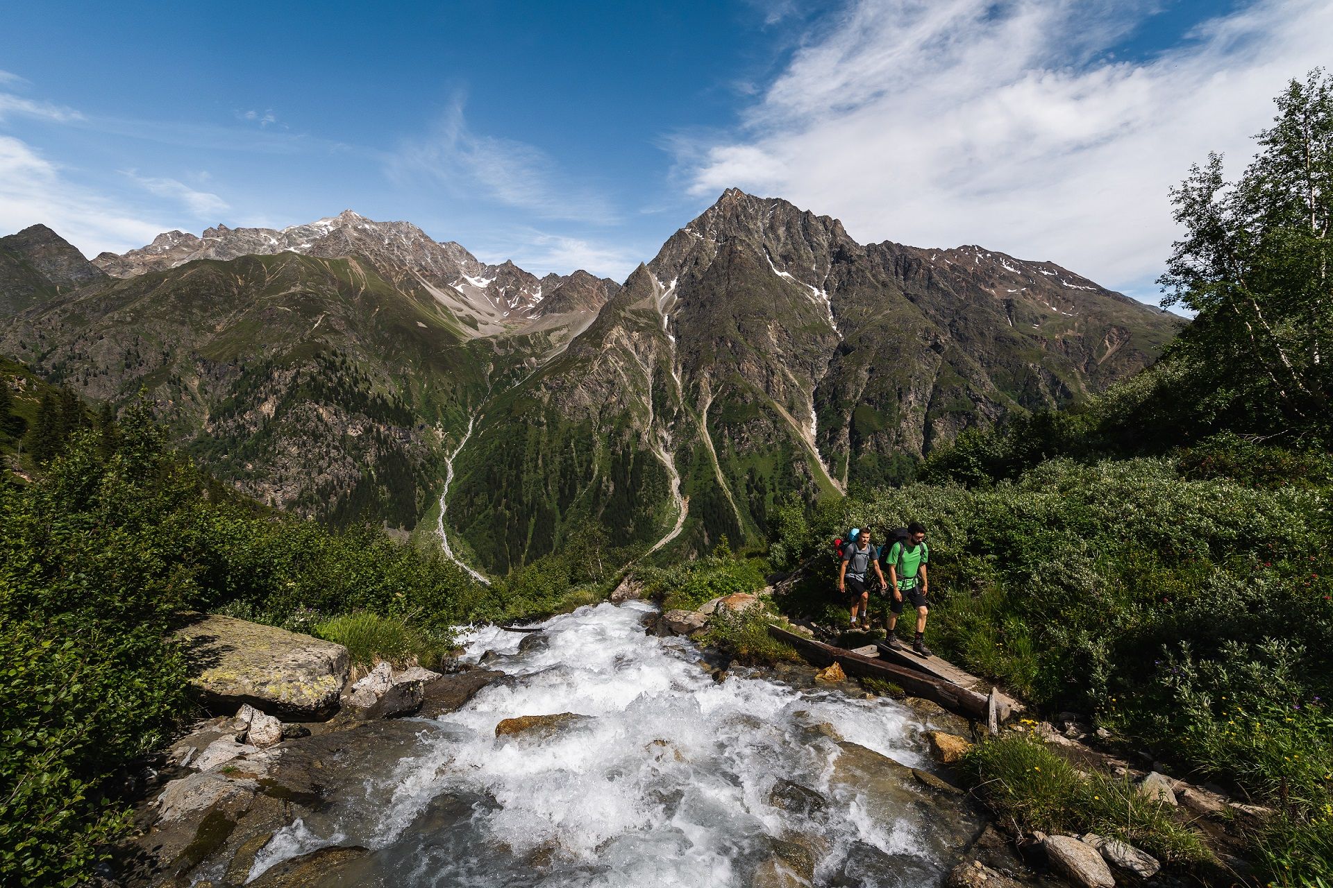
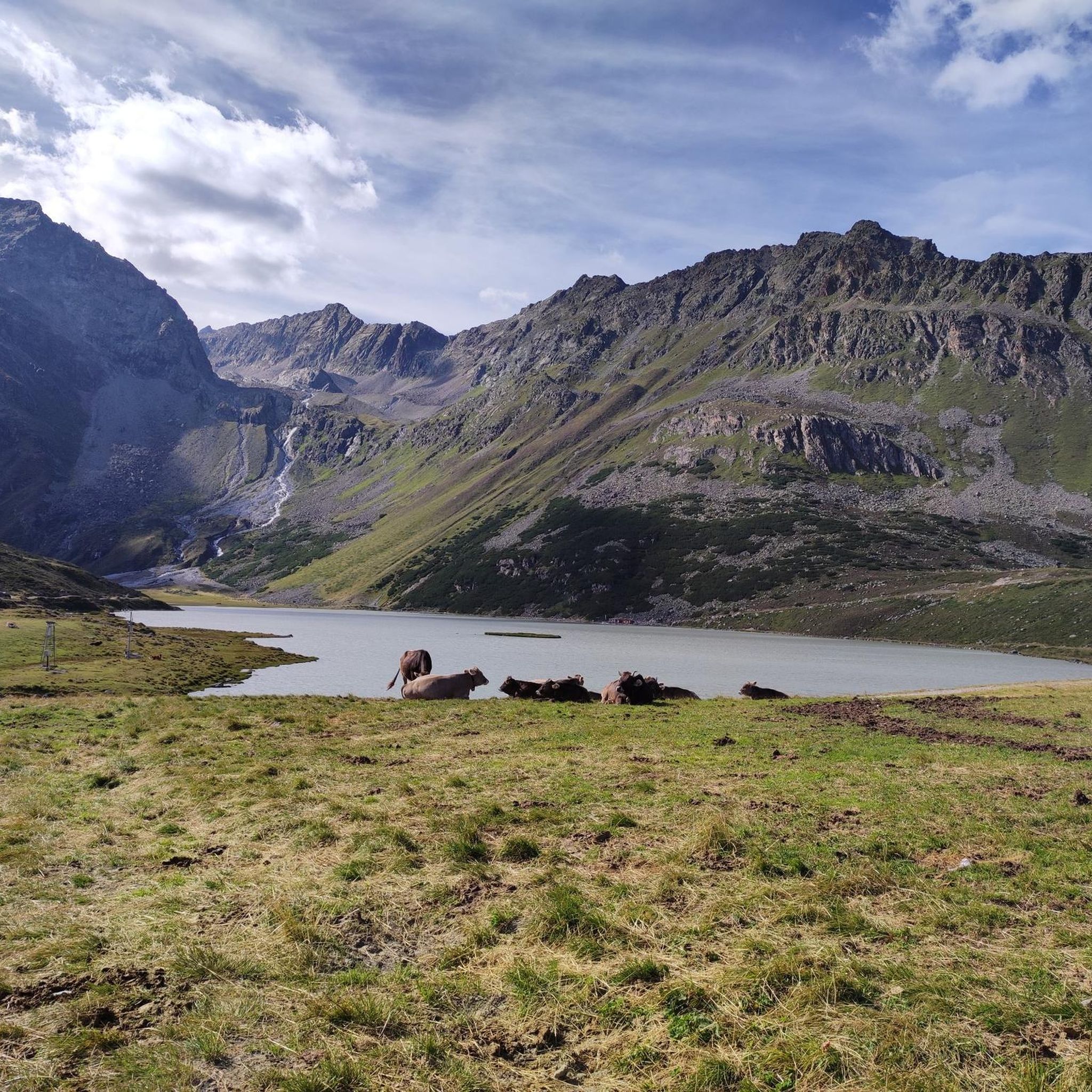
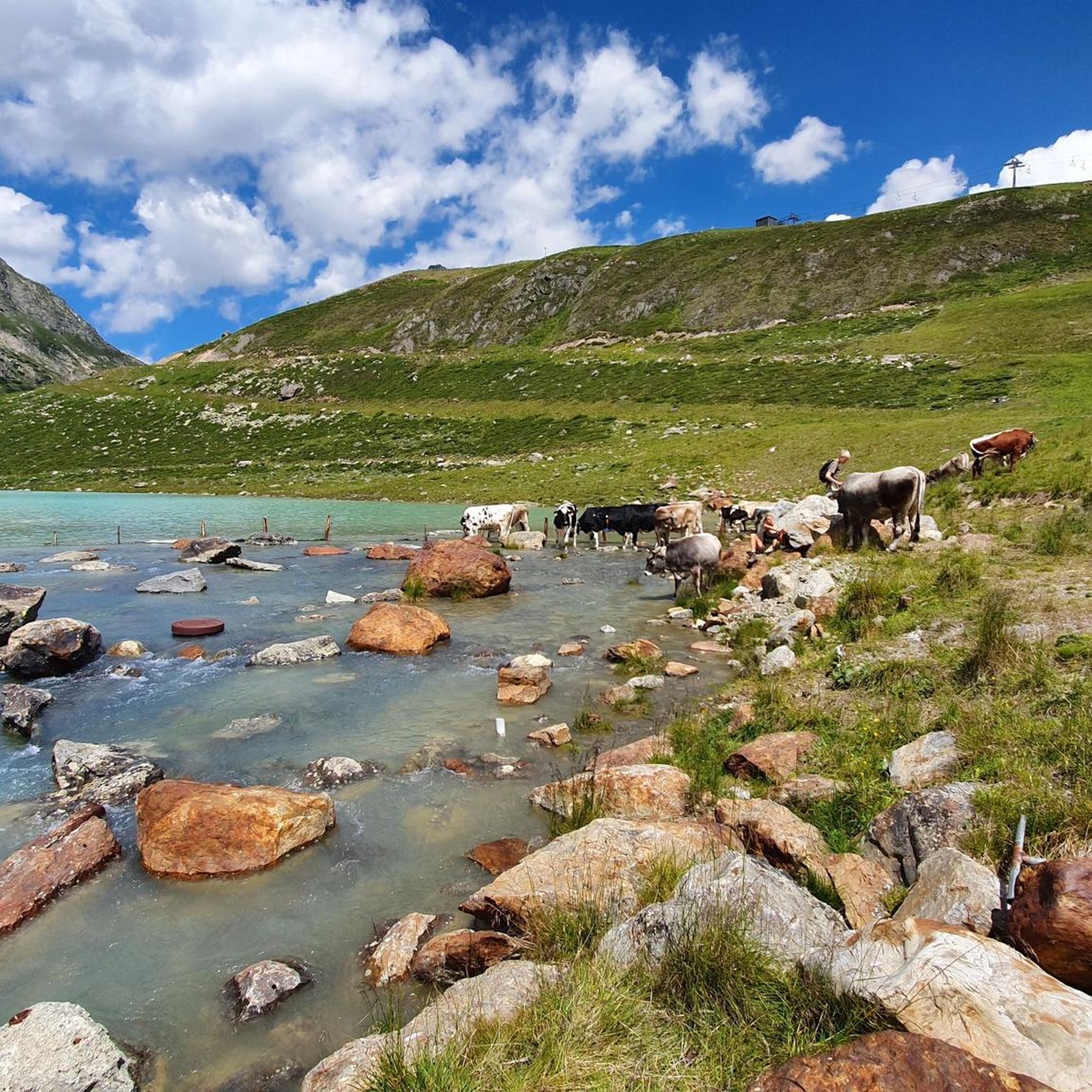
Other adventures around Rifflsee

Tips from the Community

beautiful views everywhere in Ötztal
0
0

In summer, it's even more beautiful for me than in winter. You can enjoy nature
0
0

Beautiful view from the bridge over the Inn.
2
0

From this location, there is an excellent view over the lake. 🤩 #View #Lake #Location
1
0

Beautiful church at the entrance to the village, which creates a beautiful panorama with the mountains behind it.
1
0


You don't always have to go through the Inn Valley. This cross-country route via the Piller Strasse from Wenns to Fliess is also very scenic and rewards you with a magnificent view from the Piller Höhe.
0
0

Take a short break and enjoy a view of Sölden.
0
0
Frequently Asked Questions
What kind of terrain can I expect when road cycling around Rifflsee?
The Rifflsee region, nestled in the high-alpine Pitztal Valley, offers a diverse range of road cycling terrain. You'll find routes with significant elevation changes, from demanding ascents to scenic descents. While many routes are paved, some longer tours might include unpaved segments. The landscape features glaciated peaks, the majestic Ötztal Alps, and picturesque river valleys along the Pitze river.
Are there challenging road cycling routes for experienced cyclists in the Rifflsee area?
Yes, the Rifflsee area is known for its challenging road cycling routes. For instance, the Vent–Sölden Mountain Road – Sölden Village loop from Rettenbachferner is a difficult 84.1 km route with substantial climbs through a high-alpine setting. Another demanding option is the Pillerhöhe – View of the Ötztal Alps loop from Stillebach, covering 80.6 km with significant elevation gain. For those seeking extreme challenges, nearby mountain passes like the Timmelsjoch Pass (2,474 meters) offer spectacular views and a true test of endurance.
Are there any easy road cycling routes suitable for beginners or families around Rifflsee?
While many routes in the region are challenging, there are options for easier rides. The Along the Reservoir – Gepatsch Reservoir loop from Kaunertal is an easy 9.4 km route with minimal elevation gain. Additionally, the Pitztal Cycle Path, which follows the Pitze river, offers a scenic and generally less strenuous ride, perfect for families or those looking for a more relaxed experience.
What natural features and landmarks can I see along the road cycling routes near Rifflsee?
Road cycling routes around Rifflsee offer breathtaking natural beauty. You'll encounter the stunning Rifflsee itself, surrounded by the Ötztal Alps and Kaunergrat peaks. The Pitze river flows through the valley, and you might pass the beautiful Stuibenfall waterfall. Many routes provide panoramic views of the surrounding glaciated world, and the Pillerhöhe – View of the Ötztal Alps loop from Stillebach specifically offers views of the Ötztal Alps.
What is the best time of year for road cycling in the Rifflsee region?
The best time for road cycling in the Rifflsee region is typically during the warmer months, from late spring to early autumn. This period offers more favorable weather conditions, with less snow at higher altitudes and open mountain passes. Summer provides the most consistent conditions for exploring the diverse routes, from valley rides to high-alpine ascents.
Are there any loop routes available for road cycling around Rifflsee?
Yes, several road cycling routes around Rifflsee are designed as loops, allowing you to start and end at the same point. Examples include the challenging Vent–Sölden Mountain Road – Sölden Village loop from Rettenbachferner, the scenic Plangeross in the Pitztal – End of the Pitztaler Straße loop from Stillebach, and the Pillerhöhe – View of the Ötztal Alps loop from Stillebach.
What do other road cyclists enjoy most about road cycling in Rifflsee?
The road cycling experience in Rifflsee is highly rated by the komoot community, with an average score of 3.8 stars from over 9 reviews. Cyclists often praise the breathtaking high-alpine landscapes, the challenging ascents, and the panoramic views of the glaciated mountain world. The diversity of routes, from river valley rides to demanding mountain passes, is also a frequently highlighted aspect.
Are there places to eat or rest along the road cycling routes near Rifflsee?
Yes, the region offers several options for refreshments and rest. The Sunna Alm Mountain Restaurant, located directly at the Rifflseebahn mountain station, provides regional delicacies and a large sun terrace with stunning views. Along the Pitztal Valley and in the various villages, you'll find cafes and restaurants to refuel during your ride.
How long are the typical road cycling routes around Rifflsee?
The length of road cycling routes around Rifflsee varies significantly, catering to different fitness levels and time commitments. You can find shorter, easier loops like the Along the Reservoir – Gepatsch Reservoir loop from Kaunertal at 9.4 km, or moderate routes such as the Plangeross in the Pitztal – End of the Pitztaler Straße loop from Stillebach at 40.9 km. For longer, more challenging rides, options like the Cycle path near Pfunds – Reschen Pass Cycle Path loop from Feichten extend to 173.2 km.
Is there public transport available to access road cycling routes in the Rifflsee area?
The Pitztal Valley, where Rifflsee is located, has public transport options that can help you access various points along road cycling routes. Buses typically run through the valley, connecting villages and potentially allowing you to shorten a route or reach a starting point without a car. It's advisable to check local bus schedules and bike transport policies in advance.
Where can I find parking for road cycling in the Rifflsee region?
Parking is generally available in the main villages and at key access points within the Pitztal Valley. For routes starting near Rifflsee, you can often find parking in Mandarfen, which is the base for the Rifflsee Cable Car. Other villages like Stillebach or Feichten, which are common starting points for komoot tours, also offer parking facilities. Always look for designated parking areas.
Are there any specific attractions or activities near the road cycling routes that I can combine with my ride?
Absolutely! Beyond cycling, the region offers unique attractions. You could take the Rifflsee Cable Car from Mandarfen for stunning views or even experience the highest raft trip in Europe on Rifflsee itself. The Stuibenfall waterfall is a beautiful natural attraction along some cycling paths, and the Sunna Alm Mountain Restaurant offers a great stop for food and views.
Most popular routes around Rifflsee

Get inspired with the komoot mobile app


Explore more
Browse the best Road cycling routes in other regions.
