The best cycling routes around Rifflsee
4.7
(60)
521
riders
5
rides
Touring cycling routes around Rifflsee are set within the high-alpine environment of the Pitztal valley, characterized by the Ötztal Alps and the rugged Kaunergrat mountains. The region features a glacier-fed lake and the Pitze river, offering varied terrain for cyclists. Routes often follow paved or well-maintained gravel paths through scenic valley landscapes. This area provides access to both challenging mountain ascents and gentler valley rides.
Best touring cycling routes around Rifflsee
- The most popular touring cycling route is Waterfall –…
Last updated: June 24, 2026
4.8
(24)
213
riders
Hard bike ride. Very good fitness required. Mostly paved surfaces. Suitable for all skill levels.
4.7
(23)
157
riders
Moderate bike ride. Good fitness required. Mostly paved surfaces. Suitable for all skill levels.

Sign up for free
13
riders
Moderate bike ride. Good fitness required. Mostly paved surfaces. Suitable for all skill levels.
4.8
(10)
107
riders
73.2km
05:32
1,410m
1,410m
Hard bike ride. Very good fitness required. Mostly paved surfaces. Suitable for all skill levels.
5.0
(1)
12
riders
13.2km
01:04
390m
390m
Moderate bike ride. Good fitness required. Mostly paved surfaces. Suitable for all skill levels.
Our route recommendations are based on thousands of hikes, rides, and runs completed by other people on komoot.
Start today with a free account
Your next adventure awaits.
Login or Signup
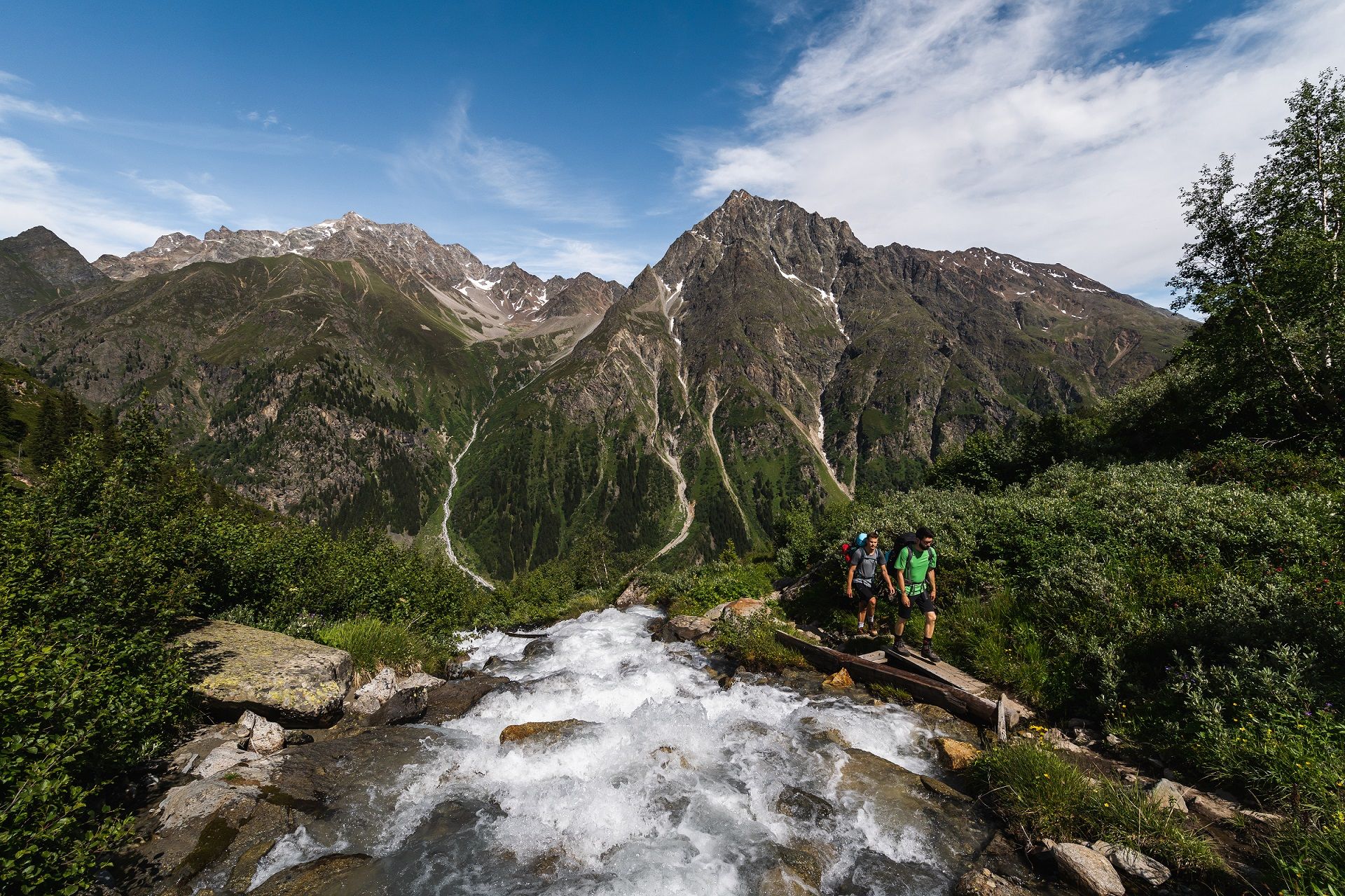
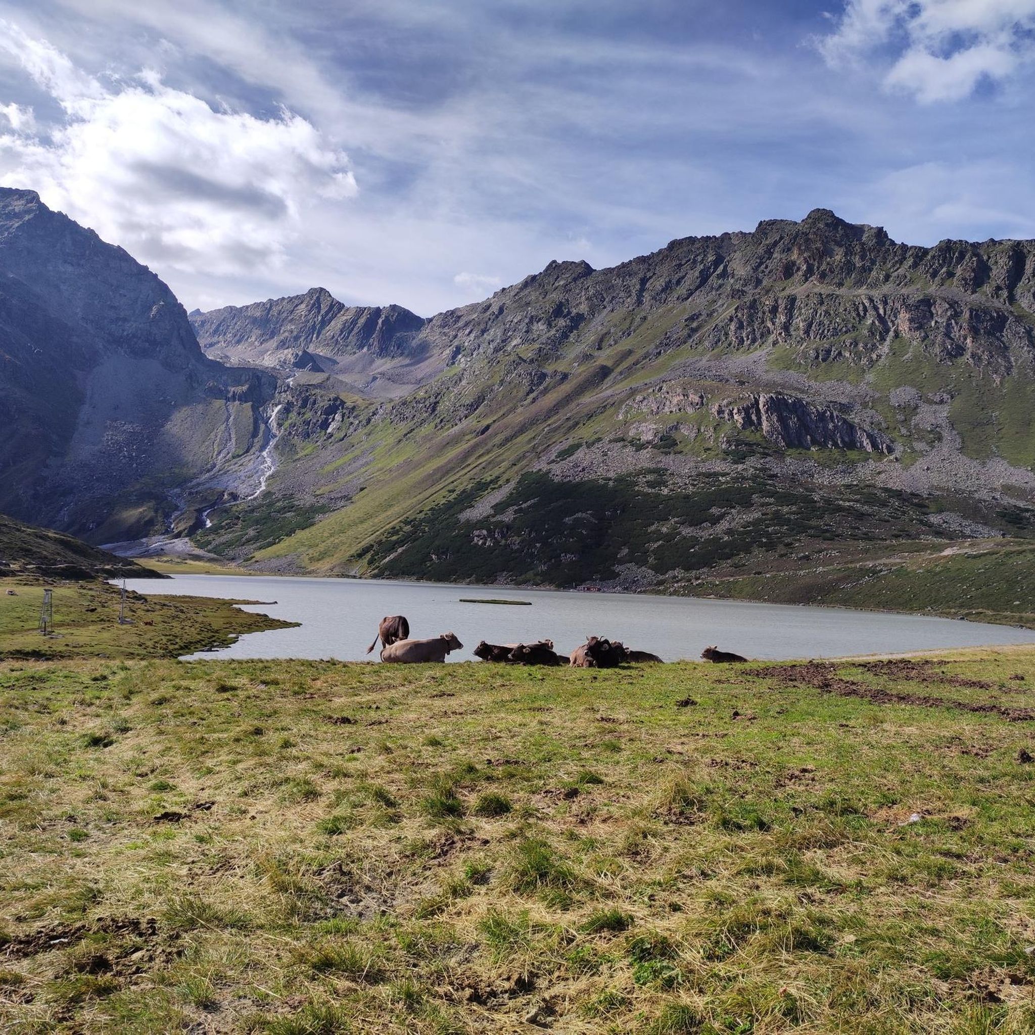
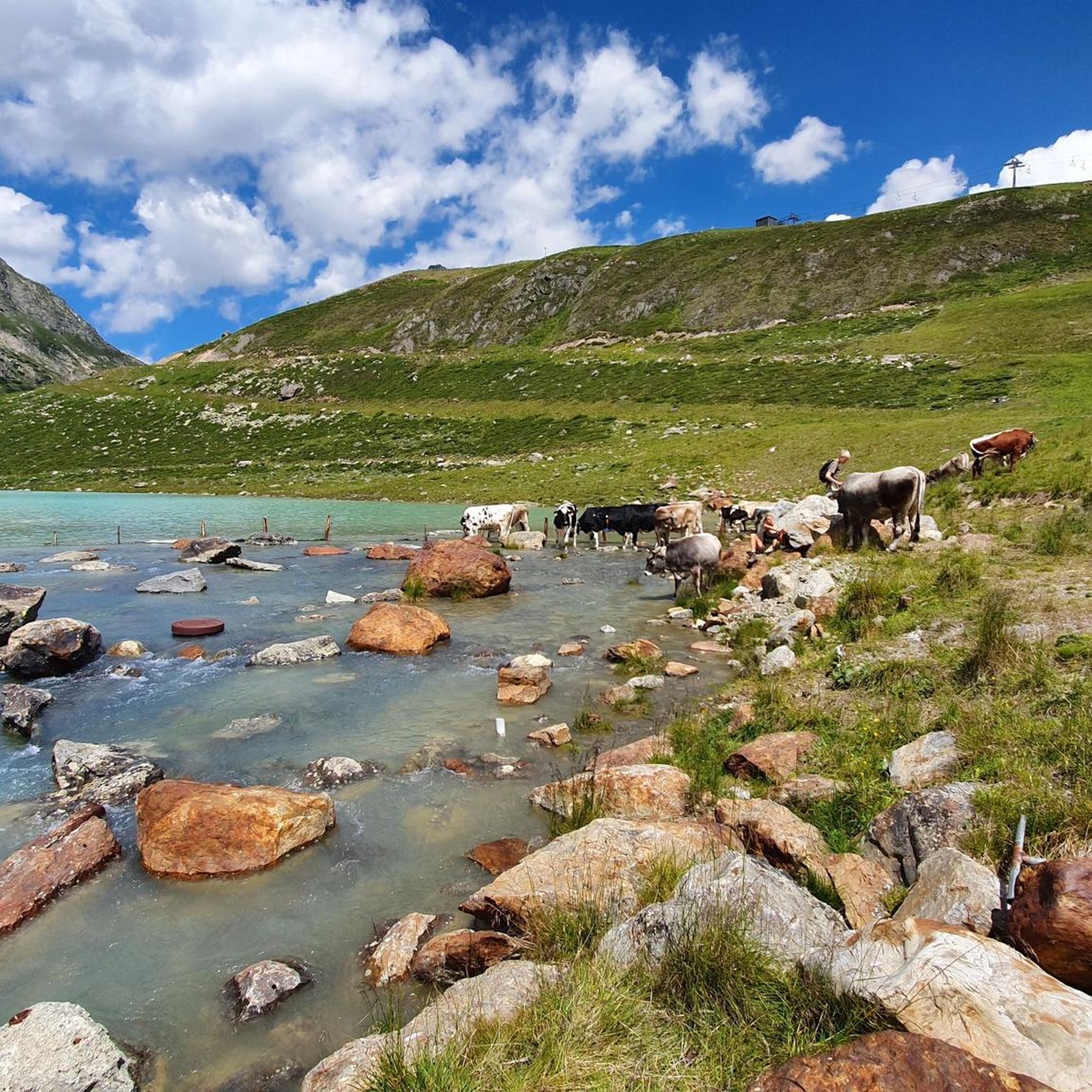
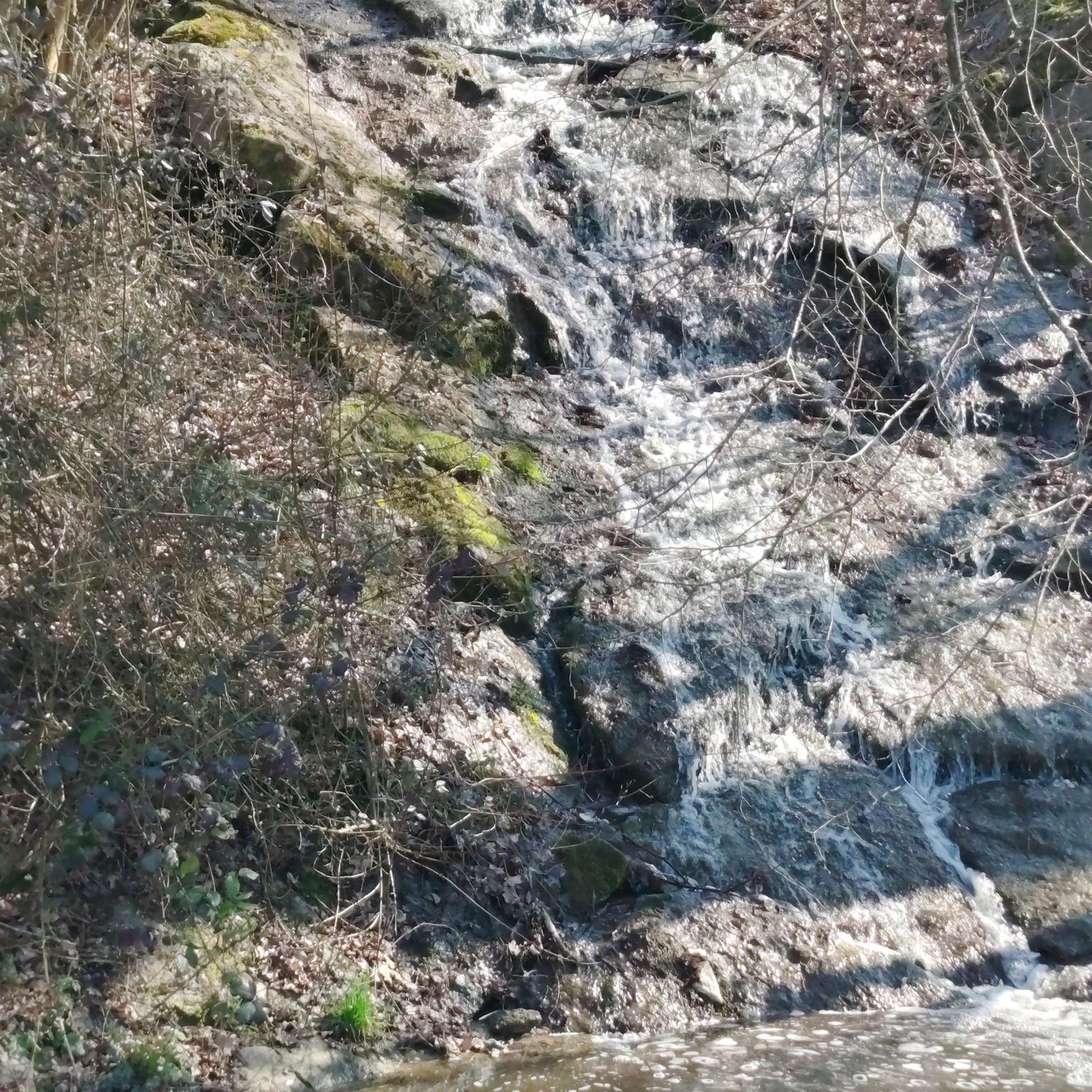
Other adventures around Rifflsee

Tips from the Community


A monument to the climbing role model
0
0

Beautiful waterfall on the Pitztal cycle path
0
1

Beautiful part of the Inn cycle path
2
0

The high mountain road leads from Feichten in Kaunertal directly up to the Weißseeferner. On the way it passes the Gepatsch reservoir. There are a total of 29 bends up to the glacier at an altitude of 2,750 meters. If you cycle along the entire road, you will see that they are numbered. It is almost a countdown and when you see the sign for bend 1, you have almost made it!
2
1

The Gepatsch reservoir - an impressive structure in the rear Kaunertal. Enjoy a unique natural experience as you drive along the Kaunertal Glacier Panorama Road. A stop at the Gepatsch reservoir is always worthwhile. Let your gaze wander over the magnificent Kaunertal mountains, enjoy a cappuccino on the terrace of the Cafe Seepanorama or find out more about the construction of the reservoir and the generation of energy from the hydropower provided by the Gepatsch reservoir.
1
0
Frequently Asked Questions
How many touring cycling routes are available around Rifflsee?
There are 6 touring cycling routes around Rifflsee listed in this guide, offering a variety of experiences from moderate valley rides to more challenging mountain ascents.
What is the best time of year for touring cycling in the Rifflsee region?
The best time for touring cycling in the Rifflsee region is generally from late spring to early autumn. While snow can remain in the high-alpine areas even in midsummer, the broader Pitztal valley offers excellent cycling conditions during these months. Always check local weather and trail conditions before heading out.
Are there any family-friendly touring cycling routes in the Rifflsee area?
Yes, the lower Pitztal Valley offers bike tours particularly suitable for beginners and families. Routes like the Plangeross in the Pitztal – Waterfall loop from Tunnelbahn Gletscherexpress Talstation are moderate and provide scenic views along the Pitze river, often on paved or well-maintained gravel paths.
Can I combine cycling with other activities, like visiting Rifflsee itself?
Absolutely! While the immediate high-alpine area around Rifflsee is more suited for hiking, you can utilize the Rifflsee Cable Car from Mandarfen to access the lake. This allows for integrated 'Bike & Hike' experiences, where you can cycle in the valley and then take the lift to enjoy the stunning views and attractions around Rifflsee, such as the Sunna Alm mountain restaurant.
What kind of terrain can I expect on touring cycling routes in the Rifflsee region?
The terrain varies significantly. Routes in the broader Pitztal valley, such as sections of the Pitztal Cycle Path, often follow paved or well-maintained gravel paths. These are generally suitable for touring cyclists. However, some routes, especially those venturing higher or connecting to mountain biking trails, can involve more challenging ascents and descents, characteristic of the Ötztal Alps and Kaunergrat mountains.
Are there any circular touring cycling routes available?
Yes, several routes are designed as loops. For example, the Waterfall – Stuibenfall loop from Tunnelbahn Gletscherexpress Talstation is a challenging 50.6 km circular route offering extensive valley views. Another moderate option is the Waterfall loop from Plangeross, which is 22.4 km long.
What are some notable natural features or landmarks I might see while cycling?
The region is rich in natural beauty. You'll be cycling amidst the superb landscape of the Ötztal Alps and the rugged peaks of the Kaunergrat mountains. The Pitze river is a constant companion in the valley, and you'll encounter extensive wetland areas. While Rifflsee itself is high-alpine, the valley routes offer panoramic views of the surrounding Pitztal mountains and the opportunity to see impressive waterfalls like the Stuibenfall.
Are there options for e-biking in the Rifflsee area?
Yes, the Rifflsee region is well-suited for e-biking. The availability of e-bikes and charging stations makes it possible for cyclists of varying fitness levels to explore the valley and even reach more challenging altitudes without excessive physical strain. Many valley routes, including parts of the Pitztal Cycle Path, are ideal for e-bikes.
What do other touring cyclists say about the routes around Rifflsee?
The touring cycling routes around Rifflsee are highly rated by the komoot community, with an average score of 4.7 stars from over 50 reviews. Cyclists often praise the stunning alpine scenery, the varied terrain, and the well-maintained paths that make exploring the Pitztal valley a memorable experience.
Are there any challenging touring cycling routes for experienced riders?
Yes, for experienced riders seeking a challenge, there are difficult routes available. The Waterfall – Stuibenfall loop from Tunnelbahn Gletscherexpress Talstation is a demanding 50.6 km route with significant elevation gain. Another difficult option is the Waldele on the Inntal Cycle Path – Inn Cycle Route: Roppen – Imst loop from Weißwald, covering over 71 km with substantial climbing.
Can I find places to eat or rest along the cycling routes?
Yes, especially in the broader Pitztal valley and near popular access points. The Sunna Alm, located directly at the Rifflsee cable car mountain station, offers refreshments and a large sun terrace with views, serving as a comfortable resting point. Various villages and towns along the Pitztal Cycle Path will also have cafes and restaurants.
How long does it typically take to complete a touring cycling route in the Rifflsee area?
The duration varies greatly depending on the route's length and difficulty. Shorter, moderate routes like the Taschach Alpine Hut – Plangeross in the Pitztal loop from Tunnelbahn Gletscherexpress Talstation can be completed in under an hour (approx. 52 minutes for 9.9 km). Longer, more difficult routes, such as the Waterfall – Stuibenfall loop, can take over four hours (approx. 4 hours 17 minutes for 50.6 km).
Most popular routes around Rifflsee

Get inspired with the komoot mobile app


Explore more
Browse the best Cycling routes in other regions.
