The best gravel rides in Monte Público "Peña De Priede"
4.0
(1)
30
riders
6
rides
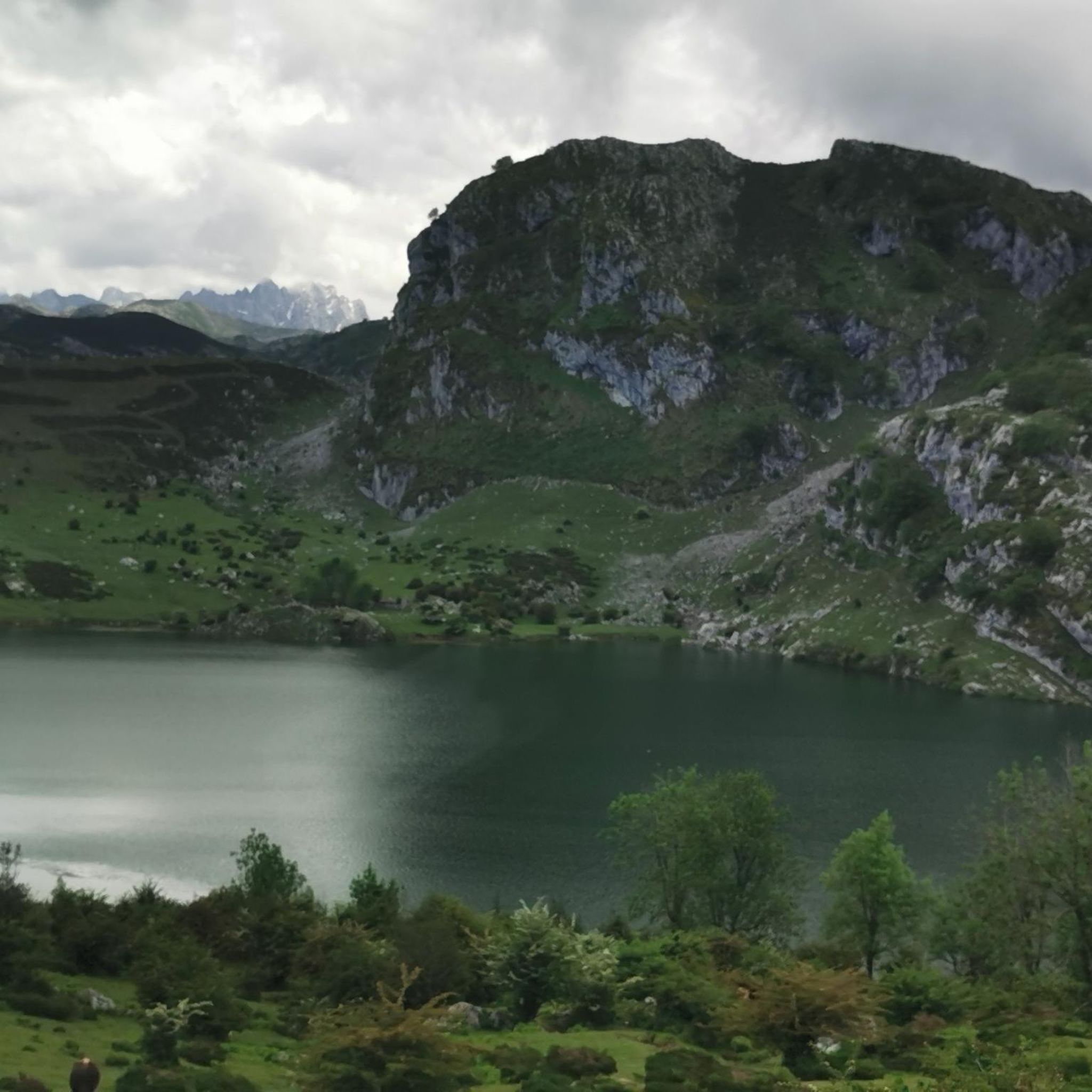
Gravel bike trails in Monte Público "Peña De Priede" are situated in the Piloña region of Asturias, offering diverse terrain for cycling. The area features a mix of unforested landscapes, traditional rural paths, and dirt tracks, providing varied surfaces for gravel biking. From Peña Priede, which reaches approximately 615-619 meters, riders can experience panoramic views of surrounding peaks, valleys, and the distant Picos de Europa. The region's topography includes progressive ascents and descents, utilizing forest tracks and agricultural paths.
Best…
Last updated: July 9, 2026
4
riders
35.0km
02:42
980m
980m
Hard gravel ride. Very good fitness required. Mostly paved surfaces. Suitable for all skill levels.
4
riders
32.1km
02:30
920m
920m
Hard gravel ride. Very good fitness required. Mostly paved surfaces. Suitable for all skill levels.

Sign up for free
4.0
(1)
12
riders
Hard gravel ride. Very good fitness required. Mostly paved surfaces. Suitable for all skill levels.
4
riders
32.6km
02:37
970m
970m
Hard gravel ride. Very good fitness required. Mostly paved surfaces. Suitable for all skill levels.
5
riders
46.6km
04:13
1,320m
1,320m
Hard gravel ride. Very good fitness required. Mostly paved surfaces. Suitable for all skill levels.
Our route recommendations are based on thousands of hikes, rides, and runs completed by other people on komoot.
Start today with a free account
Your next adventure awaits.
Login or Signup
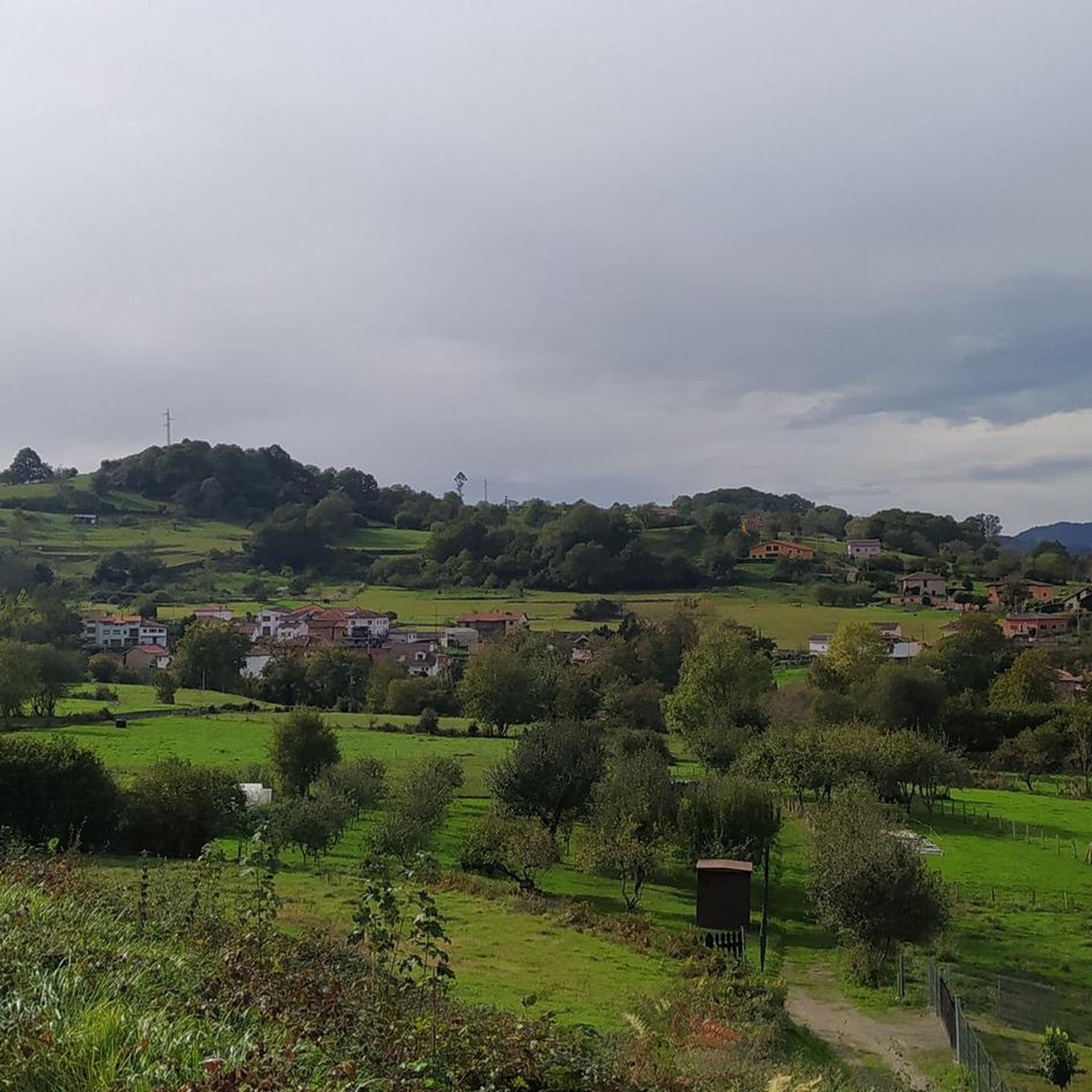
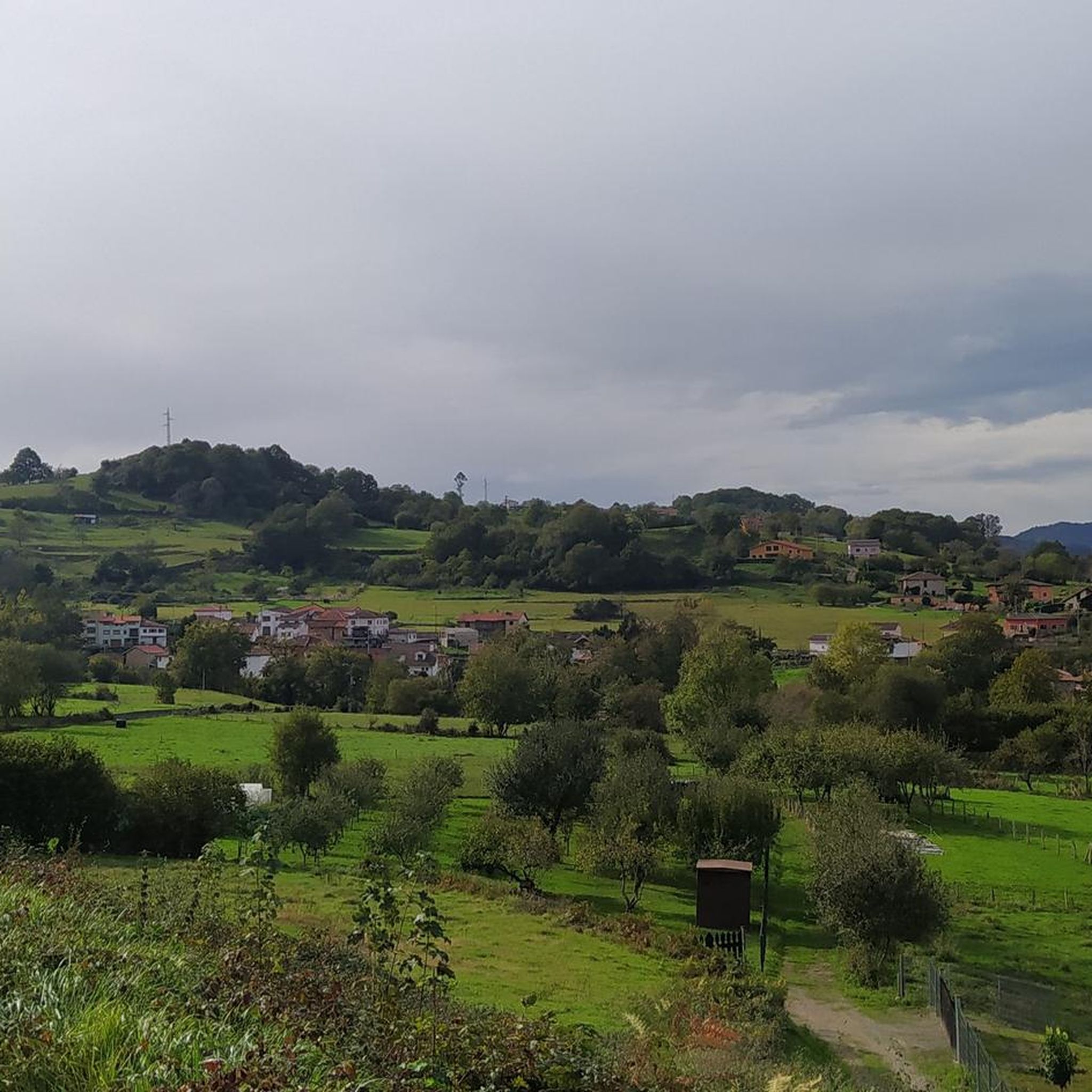
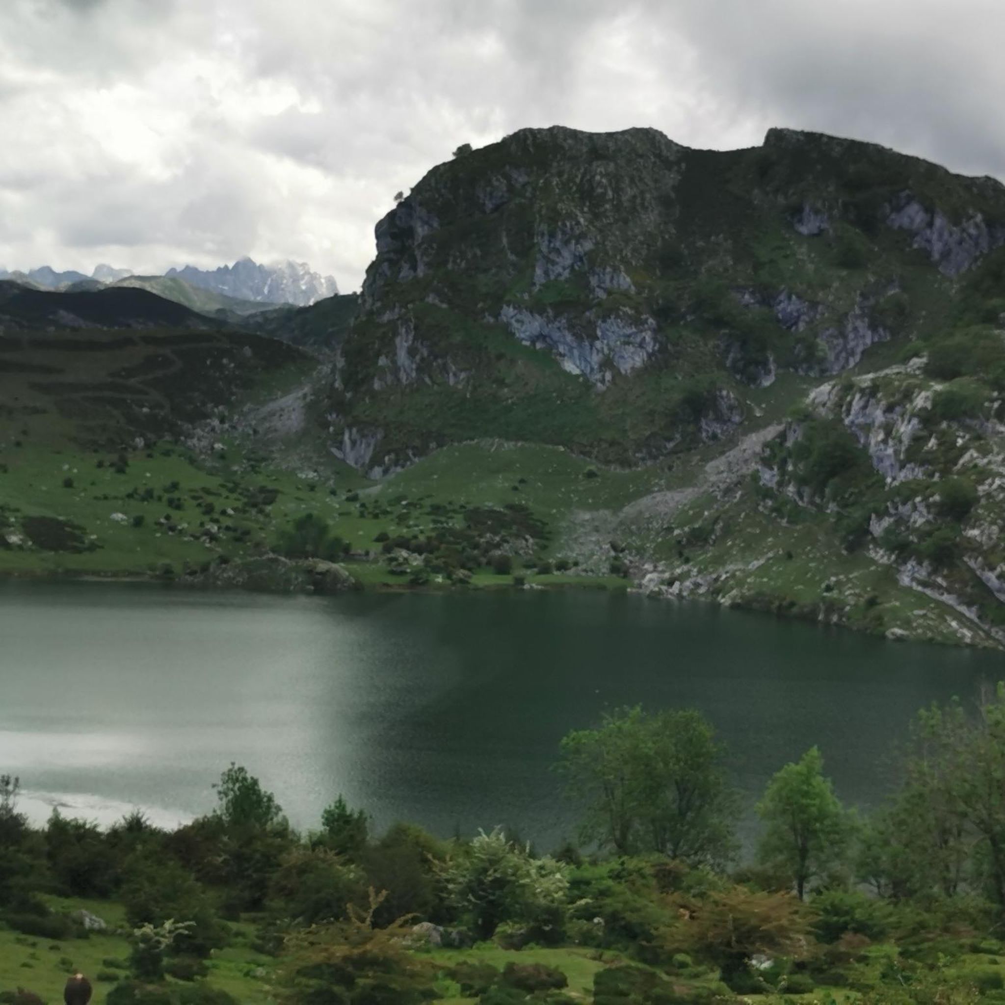
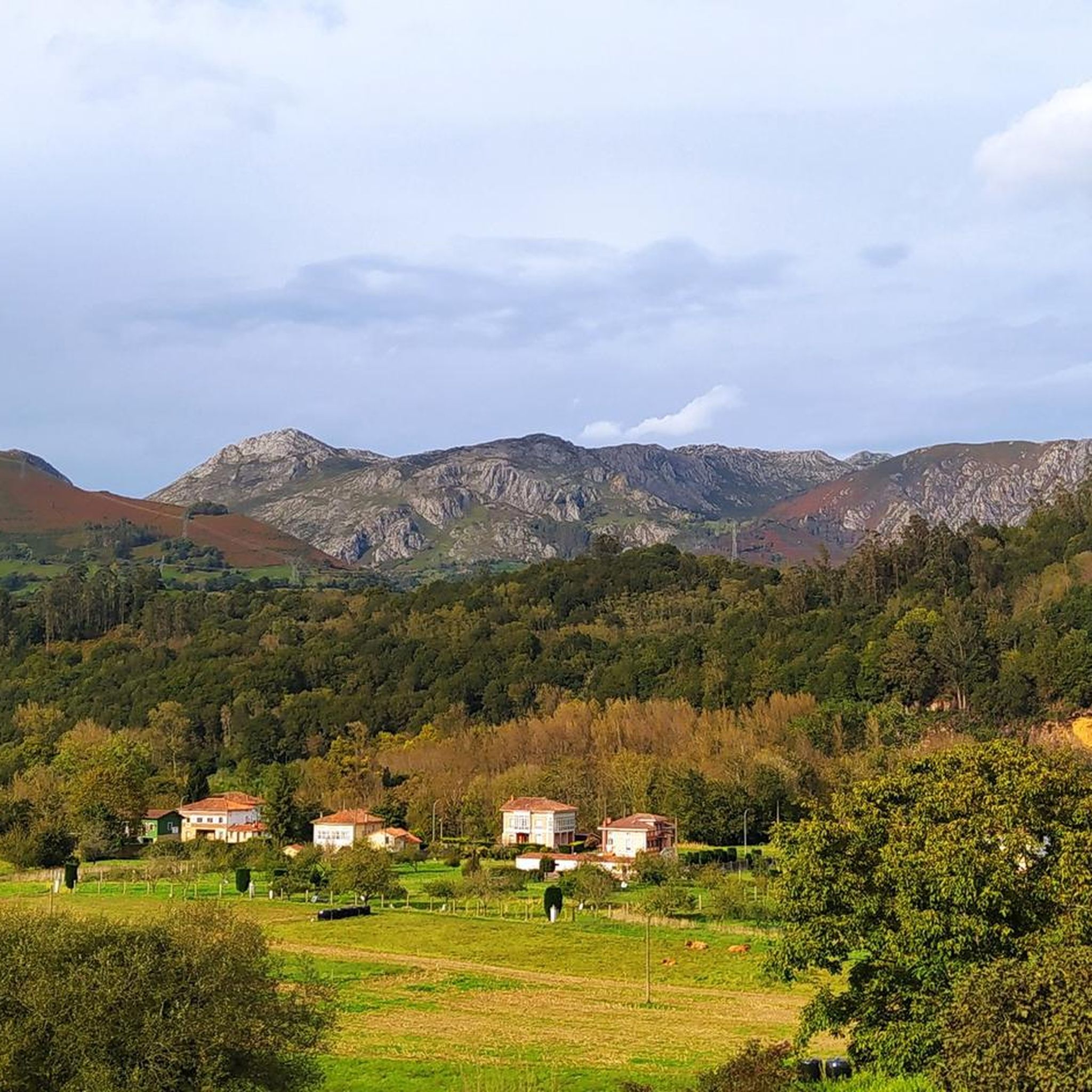
Tips from the Community

Arriondas is one of the most vibrant towns in Asturias. In recent years, its popularity has increased thanks to the international Sella River descent. Its privileged location among the mountains makes it an ideal starting point for a multitude of outdoor sports.
1
0
The Les Praeres pass, meaning "meadows" in Spanish, is a beautiful crossing point for the surrounding peaks. There's also a bar and restaurant with a mountain atmosphere. As if that weren't enough, there's a deer, rescued as a puppy by the bar's owner, who freely roams the area like a pet.
0
0

on this route of secondary roads you can see many old farms with typical granaries
0
0

This is a tough, short, and famous climb, as well as an icon for local cyclists due to its appearance in La Vuelta. It's almost 4 kilometers long, with 505 meters of elevation gain at an average gradient of 13%. You'll face gradients of up to 20% while enjoying spectacular views.
0
0

Good road surface, almost entirely concrete on the southern part of the pass. On the descent to Praeres, we find a track. There are several very steep slopes on this side.
0
0
Despite the paving, it hasn't lost its spectacular views. A narrow, winding road that leaves a good taste in your mouth.
0
0
Spectacular pine forest reminiscent of the forests of Canada. It's a shame this movie location is so small. The approximately 800 meters that cross it are spectacular.
0
0
Quite flat part with spectacular views
0
0
Frequently Asked Questions
What kind of terrain can I expect on gravel bike trails in Monte Público "Peña De Priede"?
The trails in Monte Público "Peña De Priede" are characterized by a mix of unforested landscapes, traditional rural paths, and dirt tracks. You'll encounter varied surfaces, including some challenging sections with clay-like textures and polished stones, especially when wet. The region's topography includes progressive ascents and descents, utilizing forest tracks and agricultural paths.
How many gravel bike trails are available in Monte Público "Peña De Priede"?
There are currently 7 gravel bike trails listed in Monte Público "Peña De Priede" on komoot. All of these routes are rated as difficult, offering a challenging experience for riders.
What are the typical distances and durations for gravel biking routes in this area?
Gravel biking routes in Monte Público "Peña De Priede" vary in length and time. For example, the Sella River at Arriondas – Arriondas loop from Sebares is about 29.3 km (18.2 miles) and typically takes around 2 hours 21 minutes. Longer routes, like the Descent to Collada Aniciu Road – Les Praeres Ascent from Nava loop from L'Infiestu Apeaderu, can be up to 50 km (31.1 miles) and take approximately 4 hours 40 minutes.
Are there any family-friendly gravel biking options near Monte Público "Peña De Priede"?
While the routes directly within Monte Público "Peña De Priede" are generally rated as difficult due to challenging ascents and varied terrain, the broader Piloña region in Asturias offers a diverse range of landscapes. For family-friendly options, it's advisable to look for routes specifically designated as easy or moderate in the wider Piloña area, which often utilize forest tracks and quieter country roads suitable for different skill levels.
What kind of views can I expect while gravel biking around Peña Priede?
From the vantage points around Peña Priede, you can enjoy extraordinary panoramic views. These include expansive vistas of nearby peaks, valleys, the majestic Sierra del Sueve to the north, the Sierras de Frecha and Bodes to the east, and the valleys of the Tendi and Color rivers to the south. On clear days, the iconic Picos de Europa are also visible in the distance.
What is the best time of year for gravel biking in Monte Público "Peña De Priede"?
The comfortable summer temperatures make it a pleasant destination for cycling. However, the terrain can be challenging, especially when wet, due to its clay-like texture and polished stones. Spring and early autumn might offer cooler temperatures and potentially drier conditions, which could be more favorable for tackling the difficult routes.
Are there any circular gravel bike routes in Monte Público "Peña De Priede"?
Yes, many of the routes in the area are designed as loops. For instance, the Cea Forest – Collada de Fontecha loop from Soto de Dueñas is a popular circular route that traverses dense forests and features challenging ascents.
What do other gravel bikers enjoy most about the trails in Monte Público "Peña De Priede"?
The area is highly rated by the komoot community, with an average score of 4.0 stars. Riders often praise the challenging nature of the routes, the diverse terrain, and the stunning panoramic views, particularly of the surrounding peaks and valleys, including the distant Picos de Europa.
Is parking available near the gravel bike trails in Monte Público "Peña De Priede"?
The village of Priede lies at the peak's base and is accessible via the PI-12 road from Sevares, which is a common starting point for routes. While specific parking areas aren't detailed, starting points like Sevares or Soto de Dueñas typically offer some parking options for visitors accessing the trails.
Are there any regulations or permits required for gravel biking in Monte Público "Peña De Priede"?
There is no explicit mention of specific permits required for gravel biking in Monte Público "Peña De Priede" in the provided information. However, as it is a 'Monte Público' (public mountain), general regulations for responsible outdoor recreation, such as staying on marked paths and respecting the natural environment, should always be followed.
Can I bring my dog on the gravel bike trails in Monte Público "Peña De Priede"?
While the area is characterized by an unforested landscape used for sheep and goat farming, which suggests a rural environment, there's no specific information regarding dog-friendly policies for gravel biking. It's generally advisable to keep dogs on a leash, especially in areas with livestock, and to ensure they are well-behaved and do not disturb wildlife or other trail users.
What are some challenging gravel bike routes in the region?
For experienced riders seeking a challenge, the Arriondas – Path to Llau loop from Arriondas is a demanding option, covering 46.7 km (29 miles) with significant elevation changes. Another challenging route is the Arriondas – Fresnidiello Climb loop from Arriondas, which is 32.6 km (20.3 miles) and features a substantial climb.
Most popular routes in Monte Público "Peña De Priede"

Get inspired with the komoot mobile app


Explore more
Browse the best Gravel rides in other regions.
