The best walks and hikes in Monte Público "Peña De Priede"
4.5
(62)
486
hikers
18
hikes
Hiking in Monte Público "Peña De Priede" is characterized by its varied terrain within a natural park setting near Llanes. The region features forested areas, hills with moderate elevation changes, and paths that often lead to scenic viewpoints. These hiking trails offer a range of experiences, from riverside walks to routes with more significant ascents.
Best hiking trails in Monte Público "Peña De Priede"
- The most popular hiking route is Villamayor - El Chorrón - La Cueva Trail, a…
Last updated: July 2, 2026
4.5
(11)
54
hikers
10.3km
03:29
500m
490m
Moderate hike. Good fitness required. Mostly accessible paths. Sure-footedness required.
4.4
(10)
73
hikers
5.24km
01:30
120m
120m
Moderate hike. Great for any fitness level. Mostly accessible paths. Sure-footedness required.

Sign up for free
5.0
(2)
13
hikers
9.25km
03:03
440m
440m
Moderate hike. Good fitness required. Easily-accessible paths. Suitable for all skill levels.
10
hikers
7.95km
02:15
170m
170m
Moderate hike. Good fitness required. Easily-accessible paths. Suitable for all skill levels.
5.0
(1)
9
hikers
16.4km
05:06
590m
590m
Hard hike. Very good fitness required. Easily-accessible paths. Suitable for all skill levels.
Get access to more routes and recommendations from other explorers.
Sign up for free
Already have an account?
Our route recommendations are based on thousands of hikes, rides, and runs completed by other people on komoot.
Start today with a free account
Your next adventure awaits.
Login or Signup

Tips from the Community

Arriondas is one of the most vibrant towns in Asturias. In recent years, its popularity has increased thanks to the international Sella River descent. Its privileged location among the mountains makes it an ideal starting point for a multitude of outdoor sports.
1
0

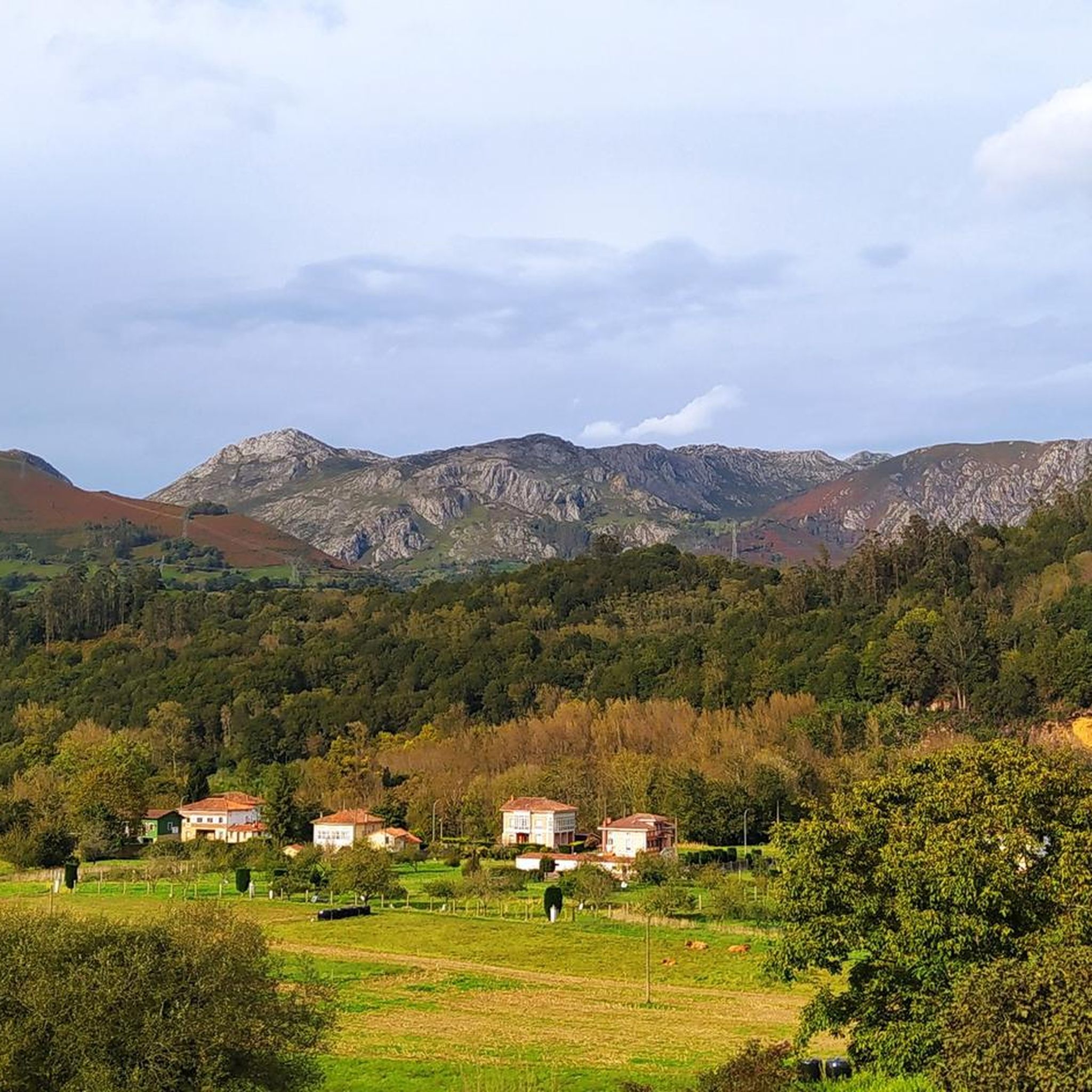
At 560 meters above sea level, the cone-shaped Moro Peak rises above the Sella River. Panoramic views of the surrounding peaks and green valleys.
1
0
Incredible route along the Sella River from the town of Arriondas climbing towards the Moro peak that rises above the river valley.
1
0

A small town near the Picos de Europa, at the foot of the Sierra del Sueve and a place where the Sella River passes through. There are many companies that organize canoe routes on the river – you can choose between routes of 6, 10 or 14 km or do the complete route of the descent of the Sella.
1
1
An impressive waterfall and one of the most popular tourist attractions in the area. It has a drop of about 15 meters high and is surrounded by a lush natural landscape, with lush forests and steep mountains. The water that falls from the waterfall forms a natural pool at the base and is a popular place to swim in summer. In its surroundings there are archaeological remains of old mining operations and other structures of historical interest.
2
0
A small town near the Picos de Europa, at the foot of the Sueve mountain range and a crossing point for the Sella River. The Parque de la Concordia, the old town, the Church of San Martín, and the Chalet de los Valles or Villa Juanita are all worth seeing. There are also many companies that organize canoe trips along the river – you can choose from 6, 10, or 14 km routes or even take the full Sella descent.
2
1

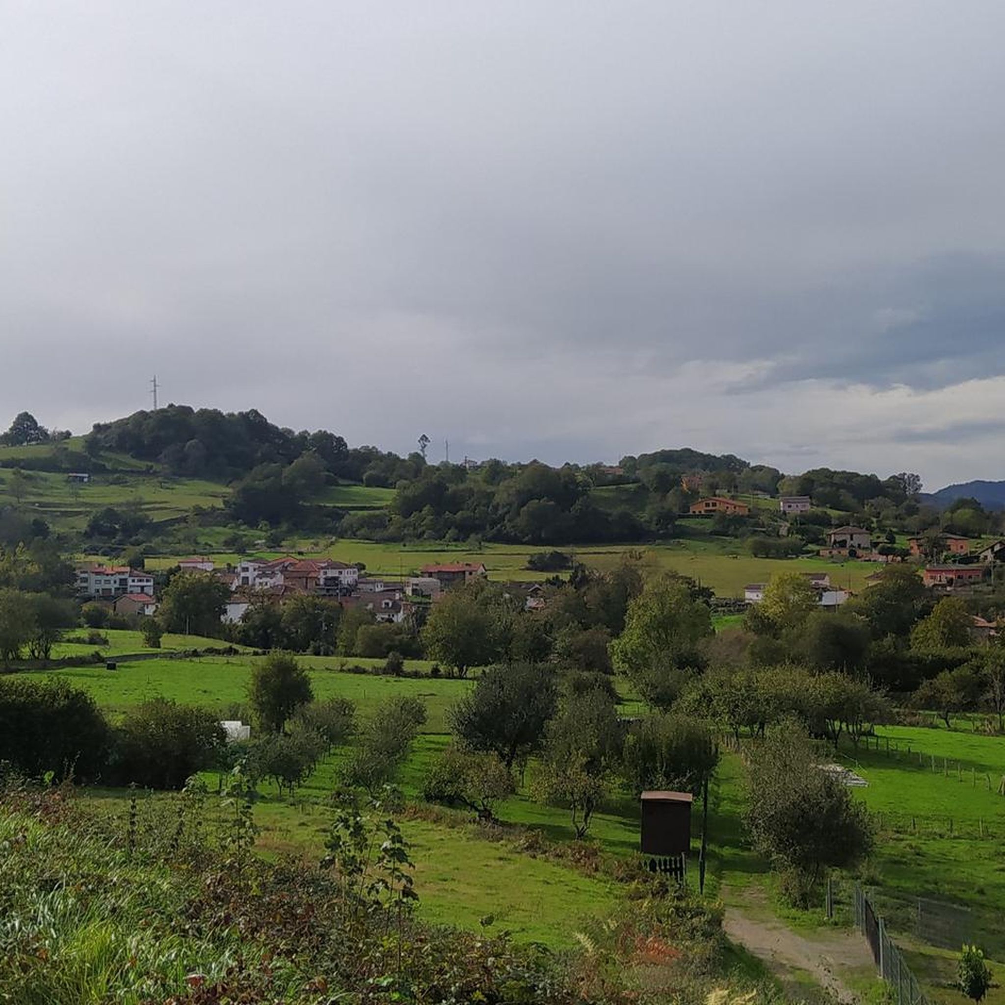
The town of Villamayor is part of the council of Piloña, on the edge of the homonymous river. Nestled between green meadows, high rocky mountains and lush forests, Villamayor preserves a beautiful traditional architecture in which the wood finishes stand out. The town has a few accommodations and a couple of bars.
1
0

Access track to the Villamayor recreational area and Cascada El Chorrón, very good surface, gravel. Very easy to do, very beautiful forests and landscapes. Be careful that the cars circulate along the track to the recreational area. Suitable for Gravel, Hybrid and Mtb bikes.
0
0
Frequently Asked Questions
What is the general difficulty level of hiking trails in Monte Público "Peña De Priede"?
Monte Público "Peña De Priede" offers a range of trails suitable for various fitness levels. The majority of routes are classified as moderate, with 12 out of 19 trails falling into this category. There are also 5 easier routes and 2 more challenging options for experienced hikers.
Are there family-friendly hiking options in Monte Público "Peña De Priede"?
Yes, there are several family-friendly hiking options. The region features easier loops and paths with moderate elevation changes that are suitable for families. For example, the Chorrón Waterfall – Villamayor loop from Villamayor is a moderate 3.3-mile (5.3 km) path that includes a scenic waterfall, making it a great choice for a family outing.
Are dogs allowed on the trails in Monte Público "Peña De Priede"?
Generally, dogs are welcome on trails in natural areas like Monte Público "Peña De Priede", provided they are kept on a leash to protect local wildlife and ensure the safety of other hikers. Always check for specific local signage or regulations at trailheads.
How long do hikes in Monte Público "Peña De Priede" typically take?
Hiking durations vary depending on the route and your pace. Shorter, moderate loops like the Chorrón Waterfall – Villamayor loop from Villamayor can be completed in under 2 hours. Longer, more challenging trails such as the Villamayor - El Chorrón - La Cueva Trail might take around 3.5 hours, while the most difficult routes can extend to 5 hours or more.
When is the best time of year to go hiking in Monte Público "Peña De Priede"?
The best time for hiking in Monte Público "Peña De Priede" is typically during spring and autumn when the weather is mild and the natural scenery is at its most vibrant. Summer offers warmer temperatures, ideal for early morning or late afternoon hikes, while winter can be beautiful but may require appropriate gear for potentially wet or muddy conditions.
Are there challenging hiking routes for experienced hikers in Monte Público "Peña De Priede"?
Yes, for experienced hikers seeking a challenge, Monte Público "Peña De Priede" offers routes with significant elevation gain. An example is the Arriondas to Pico Moro — round trip, which covers over 10 miles (16 km) with nearly 600 meters of ascent, providing a demanding and rewarding experience.
What kind of views or natural features can I expect to see while hiking here?
Hikers in Monte Público "Peña De Priede" can expect varied landscapes, including dense forested areas, rolling hills, and river valleys. Many trails lead to scenic viewpoints offering panoramic vistas of the surrounding Asturian countryside. Waterfalls, such as the one featured on the Villamayor - El Chorrón - La Cueva Trail, are also notable attractions.
Are there circular walking routes available in Monte Público "Peña De Priede"?
Yes, Monte Público "Peña De Priede" features several enjoyable circular walking routes. These loops allow you to start and finish at the same point, making logistics easier. A popular option is the Bosque de Cea loop from Llerandi, which takes you through beautiful forested areas.
What do other hikers enjoy the most about hiking in Monte Público "Peña De Priede"?
The area is highly rated by the komoot community, with an average score of 4.5 stars from over 50 reviews. Reviewers often praise the varied terrain, the tranquility of the forested paths, and the rewarding views from higher elevations. The presence of natural features like waterfalls is also frequently highlighted.
How many hiking trails are there in Monte Público "Peña De Priede"?
There are 19 distinct hiking trails recorded in Monte Público "Peña De Priede" on komoot, offering a diverse range of experiences from easy strolls to more challenging ascents.
Is public transport available to access the trailheads in Monte Público "Peña De Priede"?
While specific public transport options directly to every trailhead may be limited, the region is accessible via local bus services to nearby towns like Villamayor or Arriondas. From these points, some trailheads might be within walking distance, or a short taxi ride could be an option. Planning ahead is recommended.
What kind of clothing and gear should I bring for hiking in this region?
Given the varied terrain and potential for elevation changes, it's advisable to wear sturdy hiking boots with good ankle support. Layered clothing is recommended to adapt to changing weather conditions, and a waterproof jacket is always a good idea. Don't forget water, snacks, and a map or GPS device.
Most popular routes in Monte Público "Peña De Priede"

Get inspired with the komoot mobile app


Explore more
Browse the best Hikes in other regions.
