Saint-Eusèbe-En-Champsaur
Saint-Eusèbe-En-Champsaur
The best gravel rides around Saint-Eusèbe-En-Champsaur
4.5
(4)
36
riders
4
rides
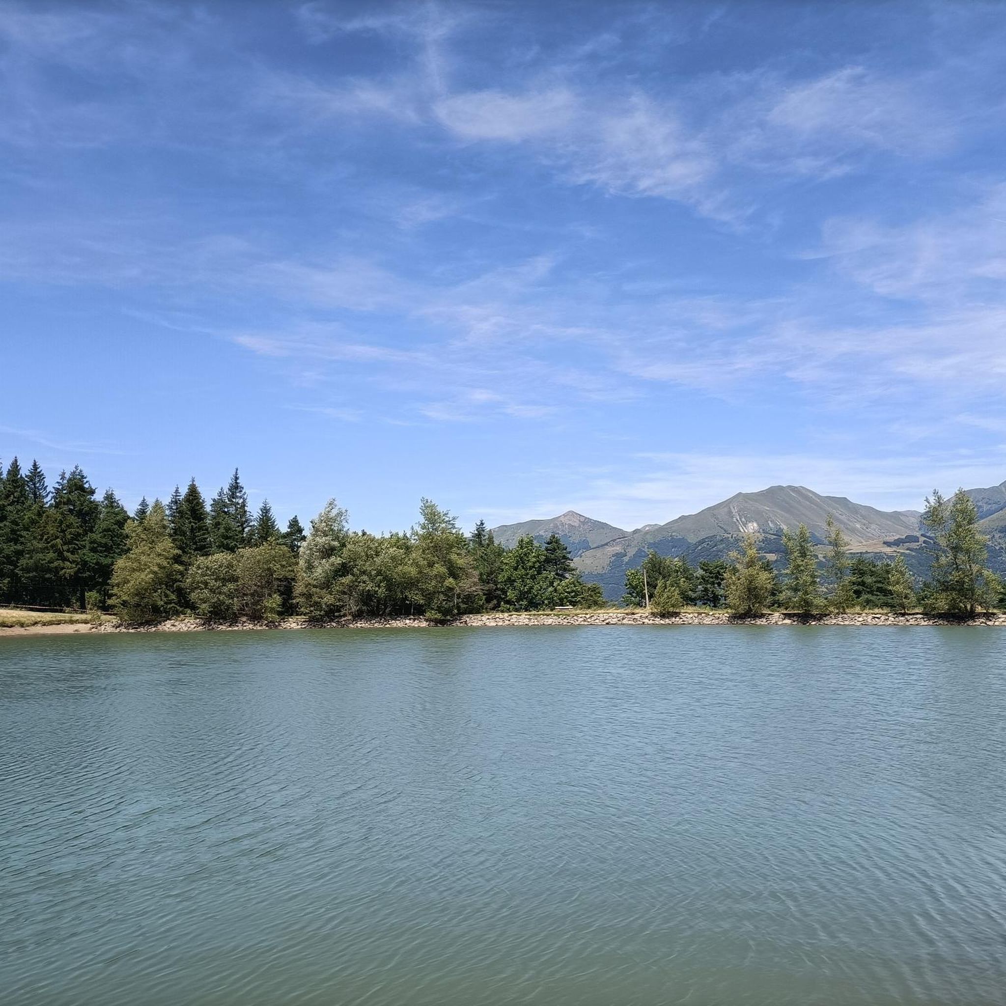
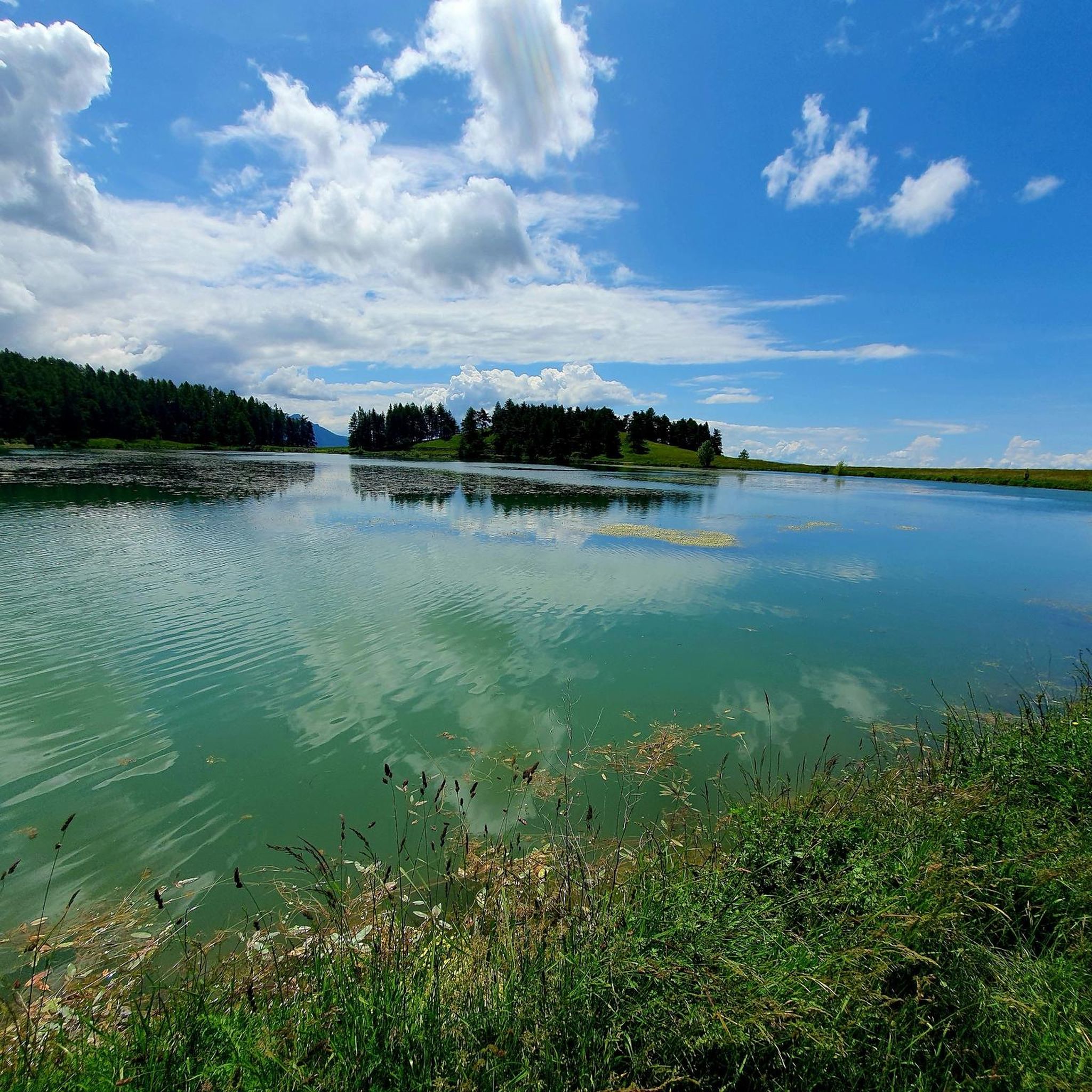
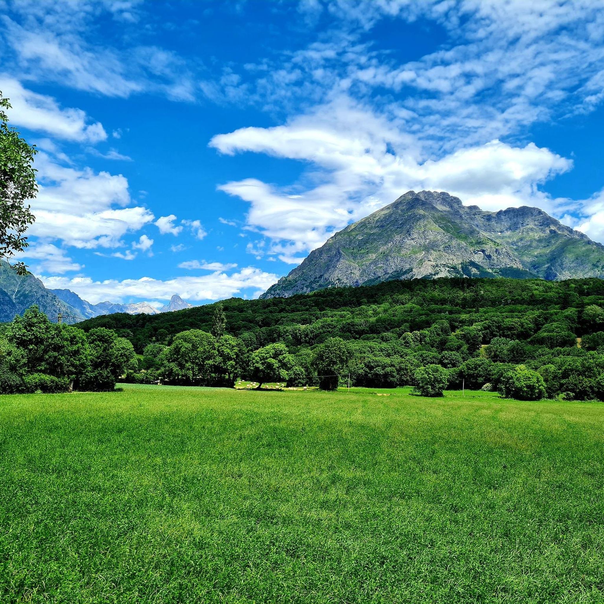
Gravel biking around Saint-Eusèbe-En-Champsaur offers diverse terrain within the Champsaur valley of the French Alps, serving as a gateway to the Écrins National Natural Park. The region features an open mountain valley with less steep edges, allowing for numerous routes along hillsides and across the valley floor. Landscapes include the bocage, a mosaic of hedges and meadows, alongside the Drac River, providing varied surfaces for gravel cyclists. The area is characterized by glacial deposits, extensive prairies, and cultivated lands, with…
Last updated: September 1, 2026
4
riders
38.9km
03:48
1,180m
1,180m
Hard gravel ride. Very good fitness required. Mostly paved surfaces. Suitable for all skill levels.
4.0
(1)
4
riders
17.9km
01:48
640m
640m
Hard gravel ride. Very good fitness required. Mostly paved surfaces. Suitable for all skill levels.

Sign up for free
5.0
(1)
10
riders
51.1km
03:43
1,220m
1,220m
Hard gravel ride. Very good fitness required. Mostly paved surfaces. Suitable for all skill levels.
4.0
(1)
5
riders
23.2km
01:46
720m
720m
Hard gravel ride. Very good fitness required. Mostly paved surfaces. Suitable for all skill levels.
3
riders
31.4km
02:54
1,150m
1,150m
Hard gravel ride. Very good fitness required. Mostly paved surfaces. Suitable for all skill levels.
Our route recommendations are based on thousands of hikes, rides, and runs completed by other people on komoot.
Start today with a free account
Your next adventure awaits.
Login or Signup
Tips from the Community

Stupendous climb with incredible views.
6
0
The Col du Festre is an Alpine pass located in the Dévoluy massif, in the Hautes-Alpes department, at an altitude of 1,441 meters. It connects the Buëch valley with that of the Souloise and is one of the main accesses to the Dévoluy territory.
7
0

short, it's almost not worth turning on the light.
1
0

Beautiful pass with a great panorama and little traffic!
1
0

Interesting crossing point.
24
0

Frequently Asked Questions
How many gravel bike trails are available in Saint-Eusèbe-En-Champsaur?
There are 9 gravel bike trails around Saint-Eusèbe-En-Champsaur, offering a variety of experiences for gravel cyclists.
What kind of terrain can I expect on gravel bike trails in the Champsaur valley?
The Champsaur valley offers diverse terrain, from the unique 'bocage' landscape with its hedges and small fields, to paths winding along hillsides and across the valley floor. You'll encounter a mix of asphalt and uneven paths, characteristic of an 'open mountain valley' environment, and routes along the Drac River.
Are there gravel routes suitable for beginners or families in Saint-Eusèbe-En-Champsaur?
While many routes are rated difficult, there are options for varying skill levels. For a moderately challenging ride, consider the View of the Champsaur bocage – Chaillol 1600 loop from Saint-Bonnet-en-Champsaur, which is 22.5 km long and takes about 2 hours. This route offers a taste of the region's unique bocage landscape.
What are some notable landmarks or natural features I can see along the gravel trails?
Many trails offer stunning views of the region's natural beauty. You might encounter the dramatic Infernet Gorge with its steep rock formations, or enjoy panoramic vistas from the Col du Noyer (1664 m). The Chemin de rondes and its cliffs also provide spectacular scenery.
Are there any challenging gravel routes for experienced riders?
Yes, for experienced riders seeking a challenge, the region offers several difficult routes. The Col du Festre – Col du Festre (1441 m) loop from SuperDévoluy is a demanding 51.1 km trail with significant elevation gain through alpine landscapes. Another difficult option is Le Drac – Great street, great view loop from Beaufin, a 55.5 km path offering expansive views along the Drac River valley.
What is the best time of year for gravel biking in Saint-Eusèbe-En-Champsaur?
The Champsaur valley is ideal for outdoor activities, including gravel biking, during the warmer months. Spring and autumn offer pleasant temperatures and vibrant scenery, while summer provides longer daylight hours to explore the diverse landscapes.
Are there any loop routes available for gravel biking?
Yes, many of the gravel routes in the area are loops. For example, the Col du Noyer (1664 m) – Col du Noyer (Noyer Pass) loop from Saint-Laurent-du-Cros is a 38.5 km loop that takes you through beautiful mountain scenery.
What do other gravel bikers enjoy most about the trails in Saint-Eusèbe-En-Champsaur?
The gravel biking routes in Saint-Eusèbe-En-Champsaur are highly rated by the komoot community, with an average score of 4.7 stars. Reviewers often praise the varied terrain, the stunning views of the open mountain valleys and bocage landscapes, and the sense of adventure offered by the trails along the Drac River.
Are there any routes that offer views of the Drac River?
Absolutely. The Drac River flows through the Champsaur valley, creating picturesque landscapes. The L eterlou – Great street, great view loop from La Fare-en-Champsaur is a 45.6 km route that provides excellent views of the river and its surroundings.
Where can I find accommodation or places to eat near the gravel trails?
The wider Champsaur valley features charming agricultural villages. Saint-Bonnet-en-Champsaur, often considered the 'capital' of the Champsaur, is known for its historic architecture and vibrant market, offering various options for accommodation and dining. Chaillol 1600 is also a notable village resort within the valley.
Is public transport available to access the gravel trails?
While specific public transport links directly to trailheads can vary, the Champsaur valley is generally accessible. It's advisable to check local bus schedules or regional transport options that connect to key villages like Saint-Bonnet-en-Champsaur, which can serve as starting points for many routes.
Are there any specific parking facilities for gravel bikers?
Parking is generally available in the villages and towns that serve as starting points for many routes, such as SuperDévoluy, Beaufin, Saint-Bonnet-en-Champsaur, La Fare-en-Champsaur, and Saint-Laurent-du-Cros. Look for designated parking areas within these communities.
Most popular routes around Saint-Eusèbe-En-Champsaur
Most popular attractions around Saint-Eusèbe-En-Champsaur

Get inspired with the komoot mobile app


Explore more
Browse the best Gravel rides in other regions.
