Saint-Eusèbe-En-Champsaur
Saint-Eusèbe-En-Champsaur
The best running trails around Saint-Eusèbe-En-Champsaur
4.2
(18)
1,663
runners
84
runs
Jogging around Saint-Eusèbe-En-Champsaur offers diverse landscapes within the Champsaur valley, situated between 800 and 1240 meters in altitude. The region features expansive prairies, cultivated lands, and is bordered by the Drac river to the southwest. Surrounded by peaks ranging from 1000 to over 3000 meters, the area provides varied topography for runners. It lies within the Écrins National Park, offering access to pristine environments and a network of trails.
Best jogging routes around Saint-Eusèbe-En-Champsaur
- The most popular jogging route is…
Last updated: July 1, 2026
49
runners
23.6km
03:36
1,180m
1,180m
Hard run. Very good fitness required. Sure-footedness, sturdy shoes and alpine experience required.
30
runners
29.5km
03:58
1,180m
1,180m
Hard run. Very good fitness required. Mostly accessible paths. Some sure footedness required.

Sign up for free
10
runners
Hard run. Very good fitness required. Mostly paved surfaces. Suitable for all skill levels.
10
runners
20.1km
02:24
550m
550m
Hard run. Very good fitness required. Mostly paved surfaces. Suitable for all skill levels.
11
runners
11.5km
01:35
490m
490m
Hard run. Very good fitness required. Mostly accessible paths. Some sure footedness required.
Get access to more routes and recommendations from other explorers.
Sign up for free
Already have an account?
Our route recommendations are based on thousands of hikes, rides, and runs completed by other people on komoot.
Start today with a free account
Your next adventure awaits.
Login or Signup
Tips from the Community

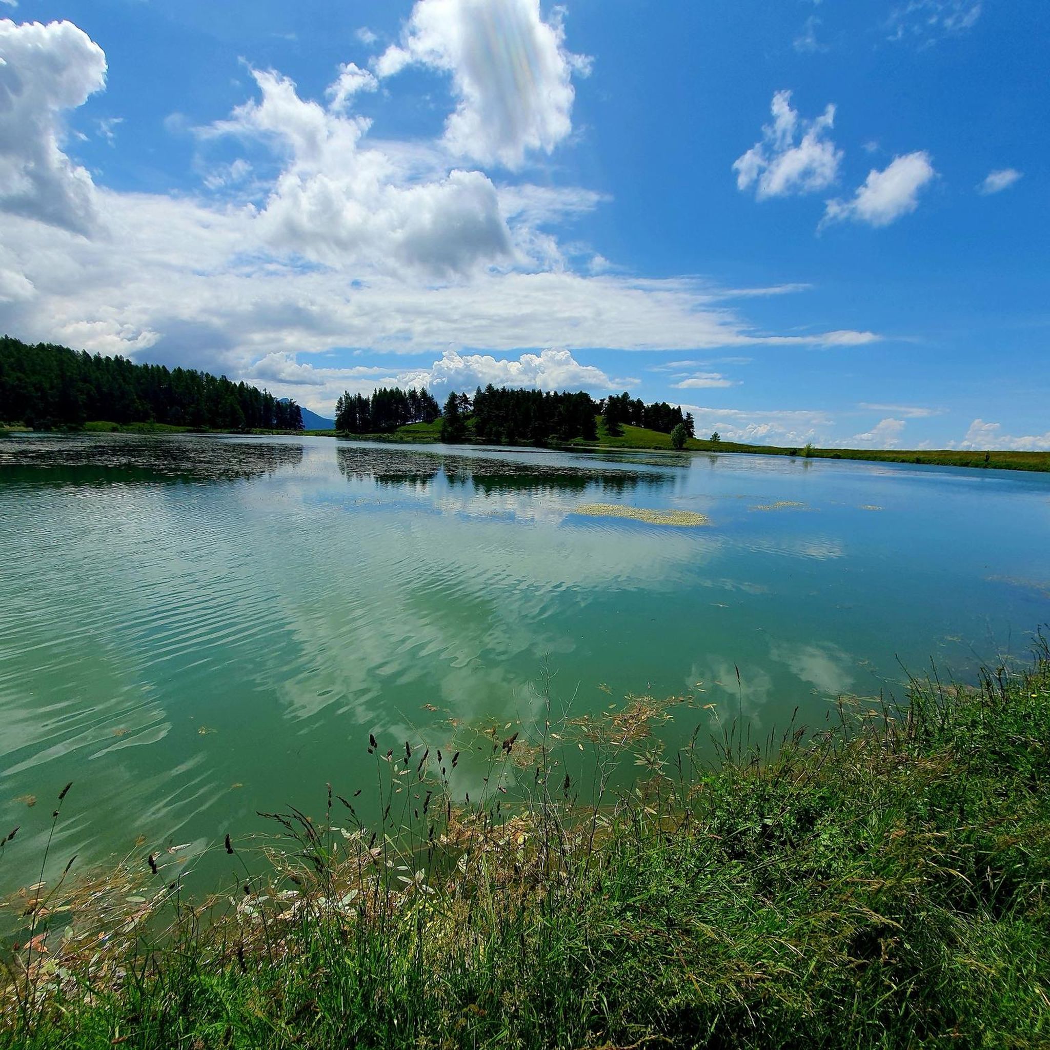
The path winds through a forested part before leading to an open part with meadows.
0
0

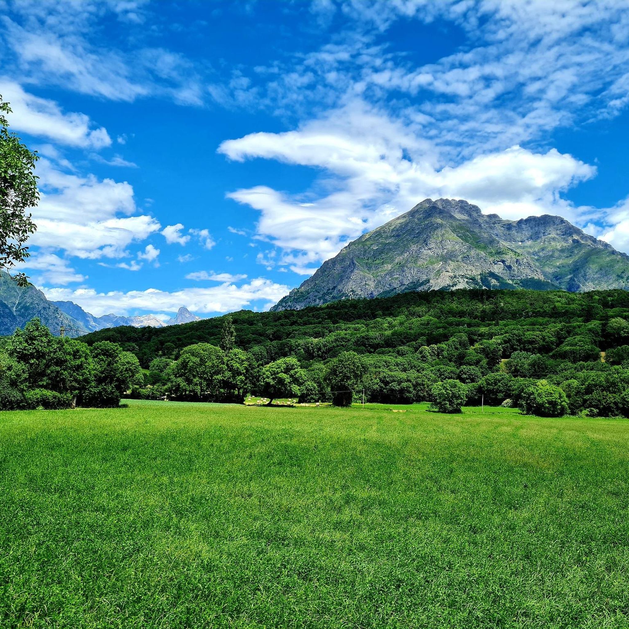
Unobstructed view of the Champsaur bocage, on a very small quiet asphalt road.
2
0
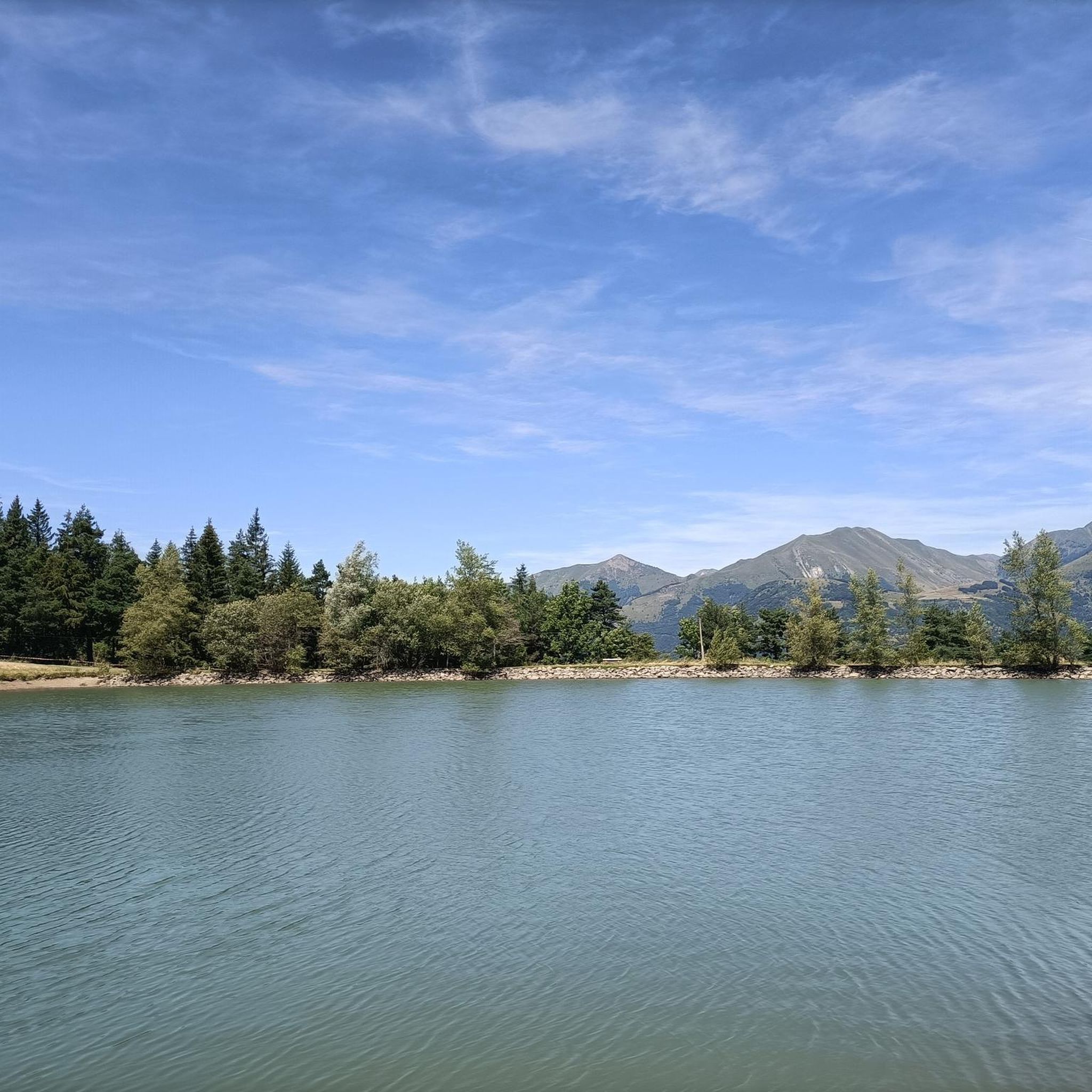
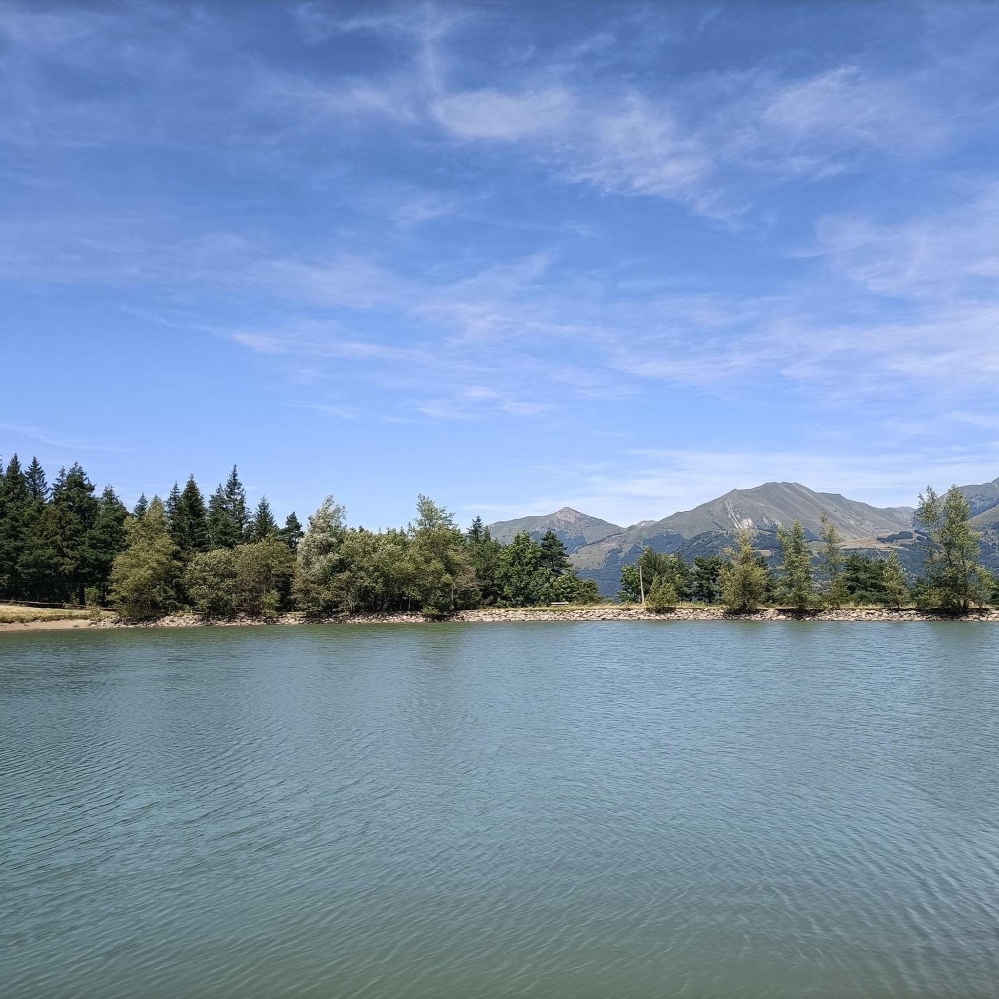
Pretty mountain lake in the Pays de Champsaur. For a picnic you will find a small farm 200 m from the lake, where you can find very good products!
1
0

series of playful turns in the woods
0
0
Frequently Asked Questions
How many running routes are available around Saint-Eusèbe-En-Champsaur?
You'll find over 80 running routes around Saint-Eusèbe-En-Champsaur, offering diverse landscapes within the Champsaur valley. This extensive network caters to various preferences, from gentle paths to more challenging ascents.
Are there running routes for all skill levels in Saint-Eusèbe-En-Champsaur?
Yes, the region offers a multitude of trails adapted to all levels. You can choose from 3 easy routes, 47 moderate routes, and 34 difficult routes. The varied topography, ranging from expansive prairies to mountainous terrain, ensures there's something for everyone, from contemplative athletes to experienced trail runners.
What kind of landscapes can I expect while jogging in Saint-Eusèbe-En-Champsaur?
Jogging in Saint-Eusèbe-En-Champsaur offers a rich variety of landscapes. You'll encounter expansive prairies, cultivated lands, and paths along the scenic Drac river. The area is also known for its 'bocage champsaurin' scenery, combining pastoral views with distant mountain panoramas, all set against the dramatic backdrop of peaks ranging from 1000 to over 3000 meters.
Are there any family-friendly running routes in the area?
While specific family-friendly routes aren't detailed, the region offers easy mountain routes and flat paths along the Drac river that are suitable for all. These routes are often designed for 'contemplative athletes' who enjoy nature without intense effort, making them ideal for families looking for a more relaxed running experience.
Can I find circular running routes in Saint-Eusèbe-En-Champsaur?
Yes, many of the running routes in the region are circular. For instance, the Saint-Bonnet-en-Champsaur loop from La Fare-en-Champsaur is a moderate 7.4-mile (11.9 km) trail that takes you through the beautiful bocage scenery. Another option is the challenging Lake Barbeyroux loop from La Fare-en-Champsaur, offering extensive views.
What do other runners enjoy most about the trails in Saint-Eusèbe-En-Champsaur?
The running trails in Saint-Eusèbe-En-Champsaur are highly rated by the komoot community, with an average score of 4.6 stars from over 16 reviews. Runners often praise the varied terrain, the stunning mountain scenery, and the access to pristine environments within the Écrins National Park. Over 1600 runners have used komoot to explore the area's diverse routes.
Are there any notable natural attractions or landmarks along the running routes?
Yes, the region is rich in natural beauty and landmarks. While running, you might encounter highlights such as the Col du Noyer (1664 m), offering breathtaking views, or the dramatic Infernet Gorge. The area also features the Drac river and a wetland near Villardon, known for its biodiversity.
What is the best time of year to go running in Saint-Eusèbe-En-Champsaur?
The Champsaur valley offers year-round sports activities. While specific recommendations for jogging vary, the diverse landscapes and varied altitudes mean you can find suitable routes in most seasons. Spring and autumn offer pleasant temperatures and vibrant scenery, while summer is ideal for higher altitude trails. Winter running is also possible, with events like the Ultra Champsaur showcasing the region's beauty even in colder months.
Are there any running routes that offer particularly good views?
Absolutely! The mountainous terrain and bocage scenery provide numerous opportunities for stunning views. The View of the Champsaur bocage – Lac de l'Aulagnier loop from La Fare-en-Champsaur is a difficult 12.1-mile (19.5 km) route specifically highlighted for its magnificent views. Many routes around the Plan d'eau du Champsaur also offer picturesque vistas of the surrounding peaks.
Are dogs allowed on the running trails in Saint-Eusèbe-En-Champsaur?
While many trails in the broader Champsaur valley are dog-friendly, it's always recommended to check specific route regulations, especially within the Écrins National Park where certain restrictions may apply to protect wildlife. Generally, dogs on a leash are welcome on many of the paths, particularly those outside the core protected zones.
What are some of the longer, more challenging running routes available?
For experienced runners seeking a challenge, Saint-Eusèbe-En-Champsaur offers several difficult routes with significant elevation gains. The Costebelle loop from Poligny is a 14.7-mile (23.6 km) trail with over 1180 meters of elevation gain, taking approximately 3 hours 35 minutes. Another demanding option is the Lac de l'Aulagnier loop from La Fare-en-Champsaur, a 12.5-mile (20.1 km) route with over 540 meters of ascent.
Most popular routes around Saint-Eusèbe-En-Champsaur
Most popular attractions around Saint-Eusèbe-En-Champsaur

Get inspired with the komoot mobile app


Explore more
Browse the best Running Trails & Routes in other regions.
