Röthenbach im Emmental
Röthenbach im Emmental
The 20 Most Amazing Peaks around Röthenbach im Emmental
Best mountain peaks around Röthenbach im Emmental are characterized by a hilly landscape with elevated points offering panoramic views. The region, located in the canton of Bern, Switzerland, features hills typically around 1,000 meters in height. While not alpine giants, these elevated areas provide extensive vistas of the Emmental region, extending to the Alps, Jura, and Mittelland. The topography supports diverse hiking opportunities through wooded hills and scenic trails.
Best mountain peaks around Röthenbach im Emmental
- The most popular mountain…
Last updated: July 7, 2026
Burgfeldstand Summit
Highlight • Summit
Highest peak of the so-called "Güggisgrat", which extends south of the Justistal over the Niederhorn to the Gemmenalphorn. Legend has it that this peak represents the ruins …
Translated by Google •
Tip by

Gemmenalphorn
Highlight • Summit
Translated by Google •
Tip by
Sign up now to discover places like this
Get recommendations on the best single tracks, peaks, & plenty of other exciting outdoor places.
Sign up for free
Kemmeriboden Bad Country Inn
Highlight • Restaurant
Translated by Google •
Tip by

Blueme Observation Tower
Highlight • Viewpoint
Translated by Google •
Tip by

Trogenhorn Summit
Highlight • Summit
Translated by Google •
Tip by

Sign up for free to discover even more peaks around Röthenbach im Emmental.
Sign up for free
Already have an account?
Start today with a free account
Your next adventure awaits.
Login or Signup
Popular around Röthenbach im Emmental
Tips from the Community

The Gemmenalphorn is a scenic summit above Lake Thun and part of the Niederhorn chain. The distinctive grassy mountain reaches an altitude of 2061 meters and offers an impressive panorama of the Eiger, Mönch, and Jungfrau, as well as the deep blue Lake Thun. The hike from the Niederhorn via the scenic ridge path is particularly popular. In summer, ibex often graze in the area, which is why the region is also highly valued by wildlife observers. Despite its height, the Gemmenalphorn is technically quite easy to reach and ideal for pleasure hikers.
2
0
The ascent from the east can be very tricky in spring, as there may still be snow in exposed places.
2
0
Wonderful vantage point. Can be reached on snowshoes from the Niederhorn mountain station in about an hour.
2
0
Unfortunately many rest days
4
2
The signpost at the Burgfeldstand is impossible to miss
6
0
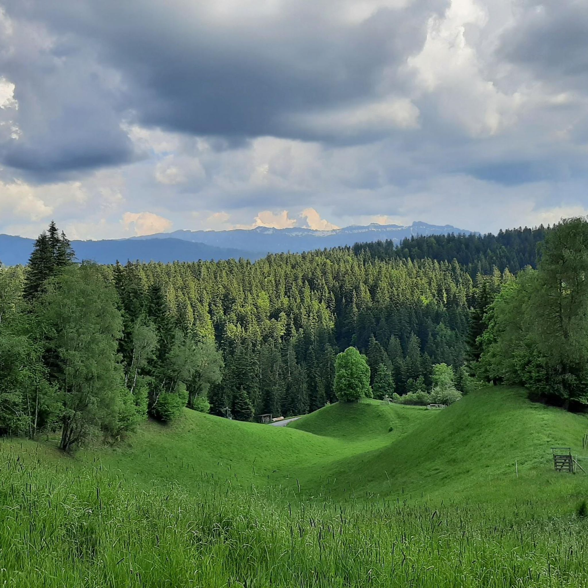
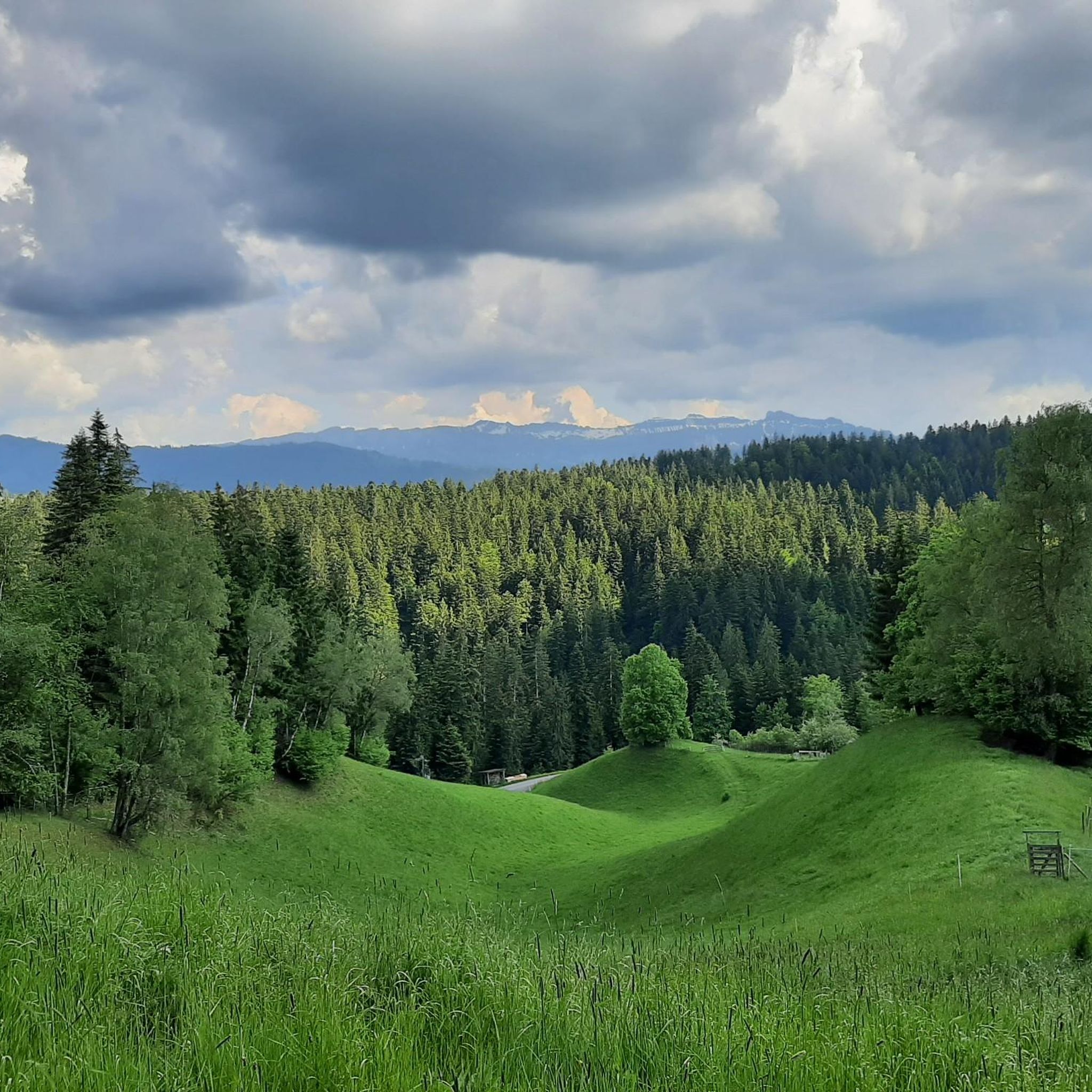
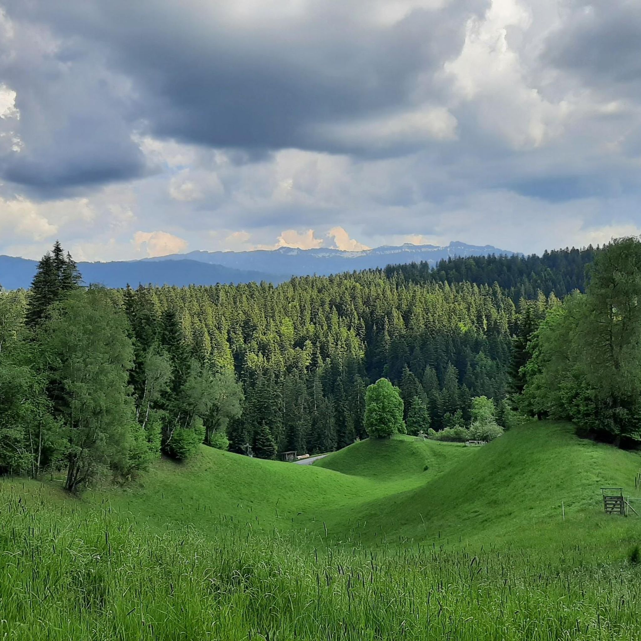
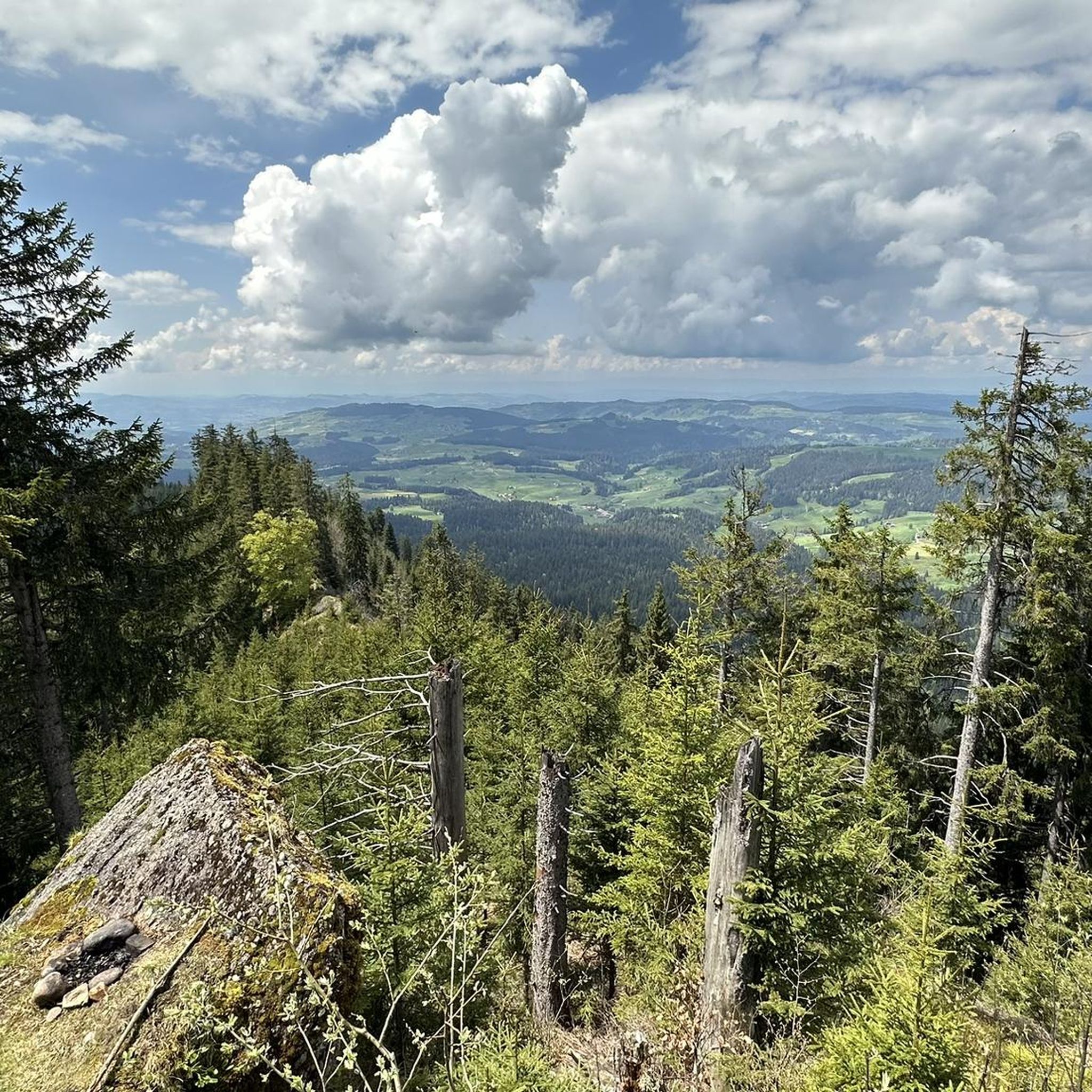
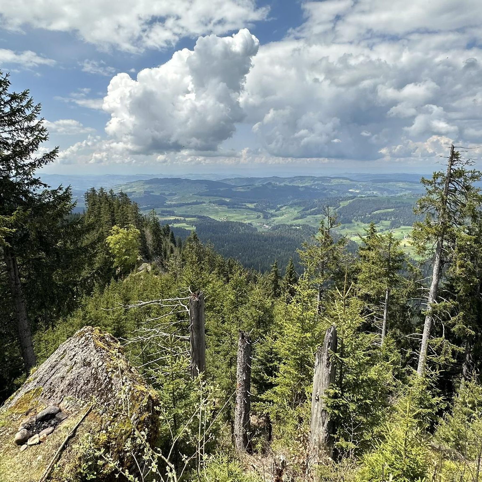
Magnificent panoramic point Highest peak of the so-called "Güggisgrat", which extends south of the Justistal over the Niederhorn to the Gemmenalphorn. Legend has it that this peak represents the ruins of a destroyed castle. The rocky outcrops that dominate the Justistal west of the peak give the impression of collapsed quarry stone walls. The peak is easy to reach thanks to the railway and the comfortable path.
8
0
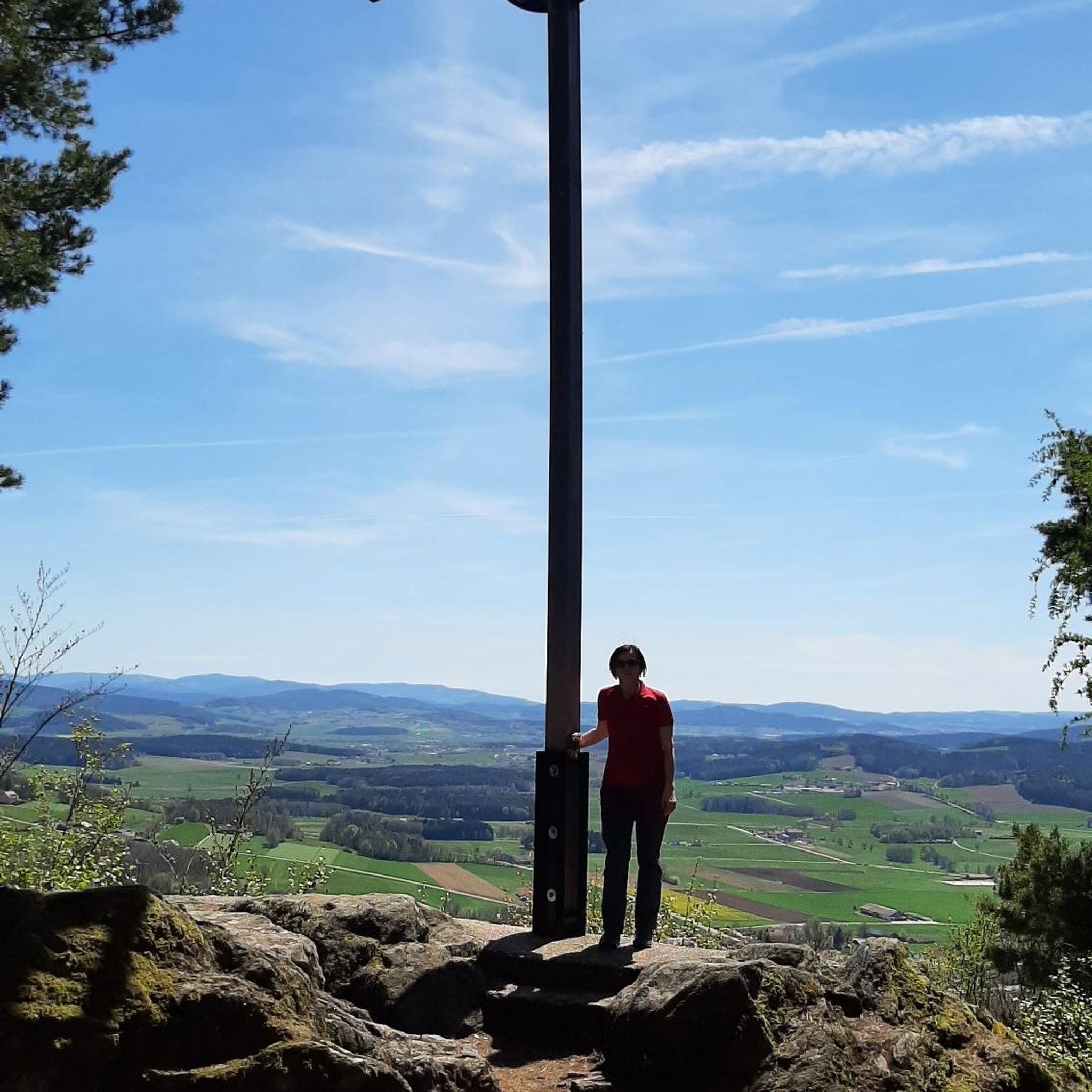
Instead of a summit cross, there is a signpost
8
0
Frequently Asked Questions
What are some of the most popular viewpoints around Röthenbach im Emmental?
For expansive views, the Blueme Observation Tower offers a panoramic vista from the Jura over Lake Thun to the Bernese Alps. Another excellent spot is the Burgfeldstand Summit, known for its magnificent panoramic views and easy accessibility. The Chuderhüsi observation tower, located above Würzbrunnen, also provides extensive views over the picturesque Emmental hills and valleys.
Are there challenging mountain peaks for experienced hikers in the region?
Yes, for those seeking a challenge, the Trogenhorn Summit is a rewarding option. While the climb is a bit challenging, it offers an exceptional 360-degree view of the Oberland and Jura. The Gemmenalphorn, the second highest peak in the Niederhorn chain, also provides a great mountain hike with wonderful views, especially in winter.
What kind of terrain can I expect when hiking the peaks around Röthenbach im Emmental?
The region is characterized by a charming hilly landscape rather than towering alpine peaks. You'll find elevated points typically around 1,000 meters in height, with the highest point being Honegg at 1,546 meters. The terrain often involves wooded hills and scenic trails, offering diverse hiking opportunities with significant elevation gains for panoramic views.
Are there family-friendly options for exploring the elevated areas?
Yes, many areas are suitable for families. The Blueme Observation Tower is easily accessible, and the area around it often has barbecue facilities. The Burgfeldstand Summit is also noted for being easily reachable by railway and a comfortable path, making it a good choice for families.
What natural features are prominent in the Röthenbach im Emmental area?
The region is defined by its rolling hills, extensive forests (covering about 47% of the municipal area), and lush pastures. Notable natural features include the ancient 'Stauffeneiche' oak tree at Stauffen, which offers overwhelming views over the Emmental's forests, pastures, hills, and valleys, extending to the Alps.
When is the best time to visit Röthenbach im Emmental for hiking?
The region is ideal for hiking throughout much of the year. Spring and autumn offer pleasant temperatures and vibrant scenery, while summer provides longer daylight hours. Even in winter, the elevated areas like Gemmenalphorn can offer wonderful views, particularly of Lake Thun and the Emmental, making it suitable for winter walks.
Are there places to eat or stay near the hiking trails?
Yes, the Kemmeriboden Bad Country Inn is a well-known spot where you can enjoy delicious, regional delicacies and even spend the night. It's an ideal starting point for various activities and is famous for its warm hospitality and local specialties like the Kemmeriboden meringues.
What outdoor activities can I do near these mountain peaks?
Beyond hiking, the area around Röthenbach im Emmental offers diverse outdoor activities. You can explore numerous MTB trails, such as those found in the MTB Trails around Röthenbach im Emmental guide. There are also gravel biking opportunities, with routes like the 'Emme Covered Bridge' loop, detailed in the Gravel biking around Röthenbach im Emmental guide.
Are there specific hiking routes that include observation towers or notable landmarks?
Absolutely. Many local hiking routes incorporate key landmarks. For instance, you can find routes that include the Chuderhüsi observation tower, such as the 'Bench With View of the Alps – Chuderhüsi Tower loop' from Aussichtsturm Chuderhüsi, which is part of the Hiking around Röthenbach im Emmental guide. The Stauffeneiche oak tree is also a popular resting spot along trails.
What makes the Schallenberg Pass area interesting for visitors?
While the Schallenberg Pass itself isn't a peak, the surrounding elevated terrain, exceeding 1,200 meters, offers impressive views and serves as a gateway to exploring higher areas in the region. It's likely to feature hiking trails, providing access to scenic landscapes and further adventures.
What do visitors enjoy most about the mountain peaks and elevated areas in Röthenbach im Emmental?
Visitors particularly appreciate the magnificent panoramic views that stretch across the Alps, Jura, and Mittelland. The accessibility of many viewpoints, the diverse hiking opportunities through wooded hills, and the chance to discover natural monuments like the 'Stauffeneiche' or man-made structures like the Chuderhüsi observation tower are highly valued.
Are there any easy mountain hikes suitable for beginners?
Yes, the region offers various easy to moderate hiking options. For example, the 'Würzbrunnen Church – Chuderhüsi Tower loop' from Röthenbach im Emmental, found in the Hiking around Röthenbach im Emmental guide, includes routes as short as 5.8 km with an easy difficulty grade, perfect for beginners or a relaxed outing.
Most popular routes around Röthenbach im Emmental
Most popular attractions around Röthenbach im Emmental

Get inspired with the komoot mobile app


Explore more
See even more amazing summits around Röthenbach im Emmental with these guides:
