The best mountain hikes around Röthenbach im Emmental
4.7
(11)
42
hikers
7
hikes
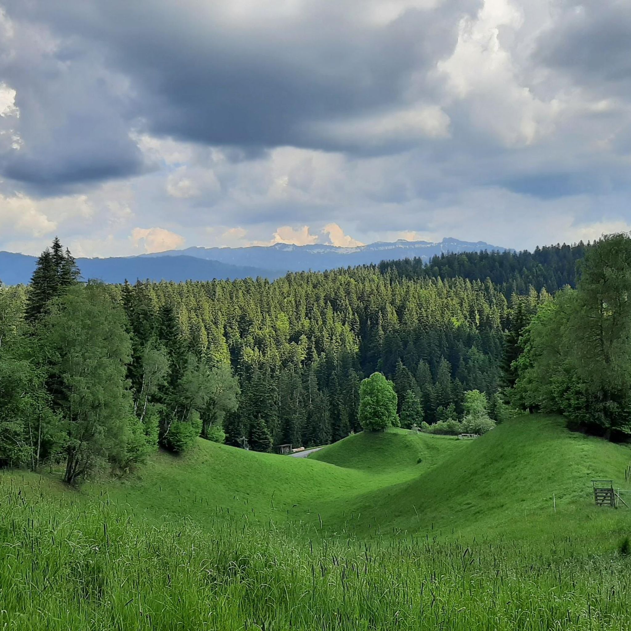
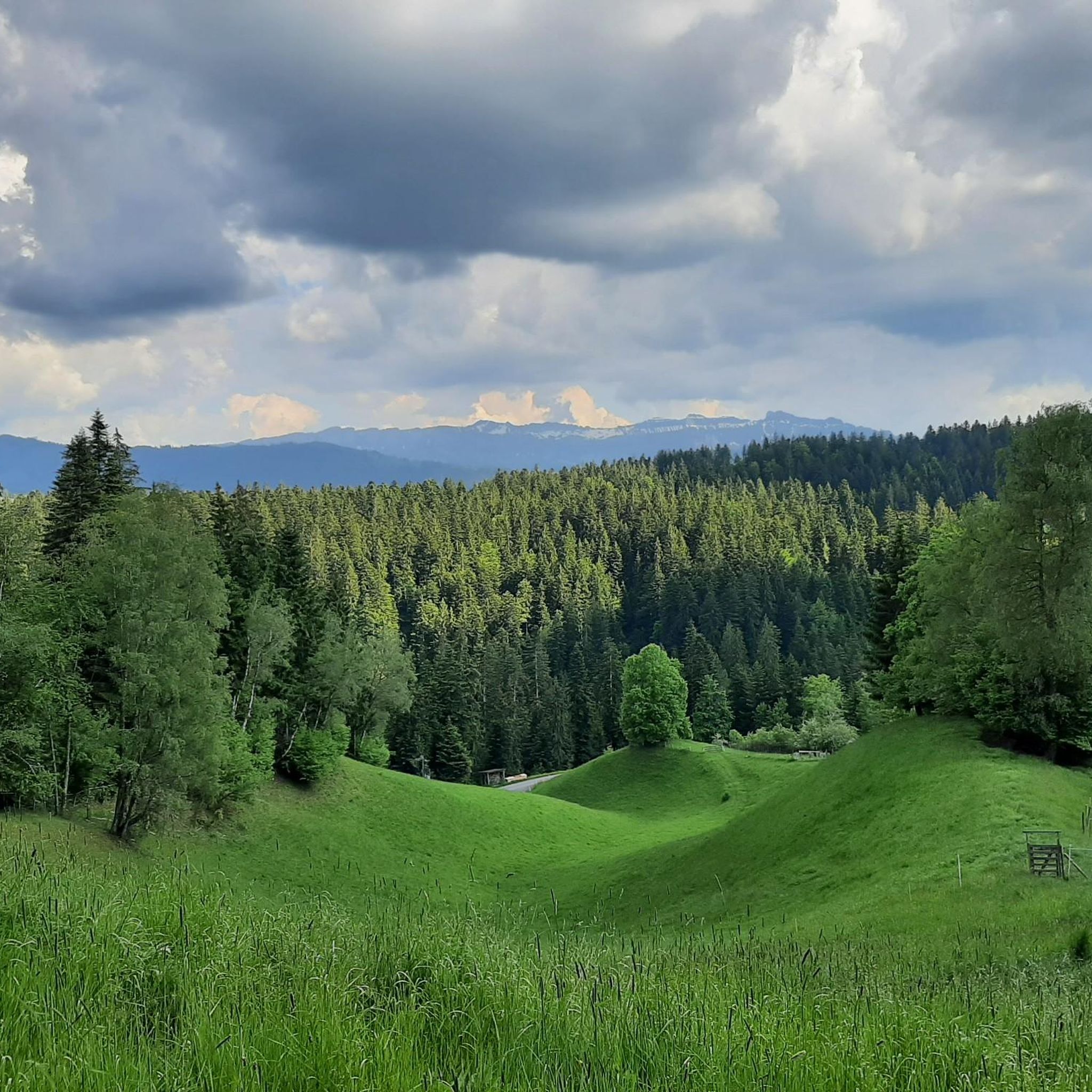
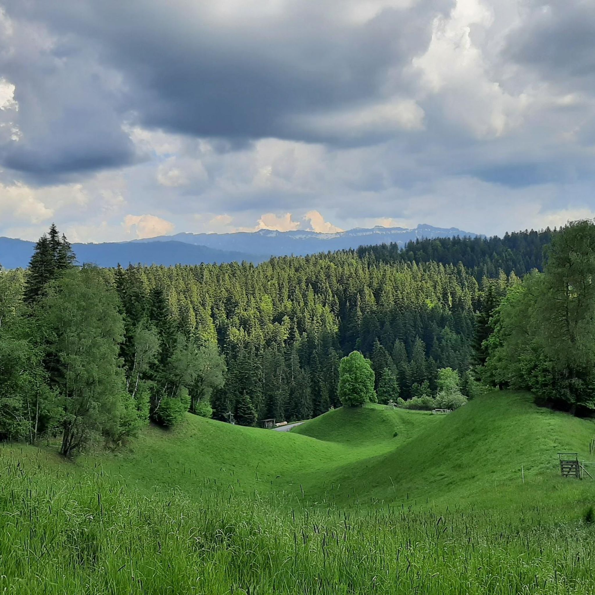
Mountaineering routes around Röthenbach im Emmental traverse a landscape characterized by diverse alpine foothills, including forested slopes, open pastures, and challenging ascents. The region offers a mix of terrain suitable for experienced mountaineers seeking elevation gain and panoramic views. These routes often lead to high passes and summits, providing extensive vistas of the surrounding Emmental valley.
Best mountaineering routes around Röthenbach im Emmental
- The most popular mountaineering route is Schafloch Cave West Entrance – Alp Oberbärgli loop from Schwändiblueme,…
Last updated: October 9, 2026
5.0
(5)
13
hikers
12.6km
05:53
880m
880m
Hard mountaineering route. Very good fitness required. Sure-footedness, sturdy shoes and alpine experience required.
4.7
(3)
8
hikers
11.4km
05:12
950m
950m
Hard mountaineering route. Very good fitness required. Sure-footedness, sturdy shoes and alpine experience required.

5.0
(1)
10
hikers
15.9km
06:48
1,040m
1,040m
Hard mountaineering route. Very good fitness required. Sure-footedness, sturdy shoes and alpine experience required.
9
hikers
10.8km
04:33
620m
620m
Hard mountaineering route. Good fitness required. Sure-footedness, sturdy shoes and alpine experience required.
1
hikers
9.74km
04:11
570m
570m
Hard mountaineering route. Good fitness required. Sure-footedness, sturdy shoes and alpine experience required.
Get access to more routes and recommendations from other explorers.
Already have an account?
Our route recommendations are based on thousands of hikes, rides, and runs completed by other people on komoot.
Start today with a free account
Your next adventure awaits.
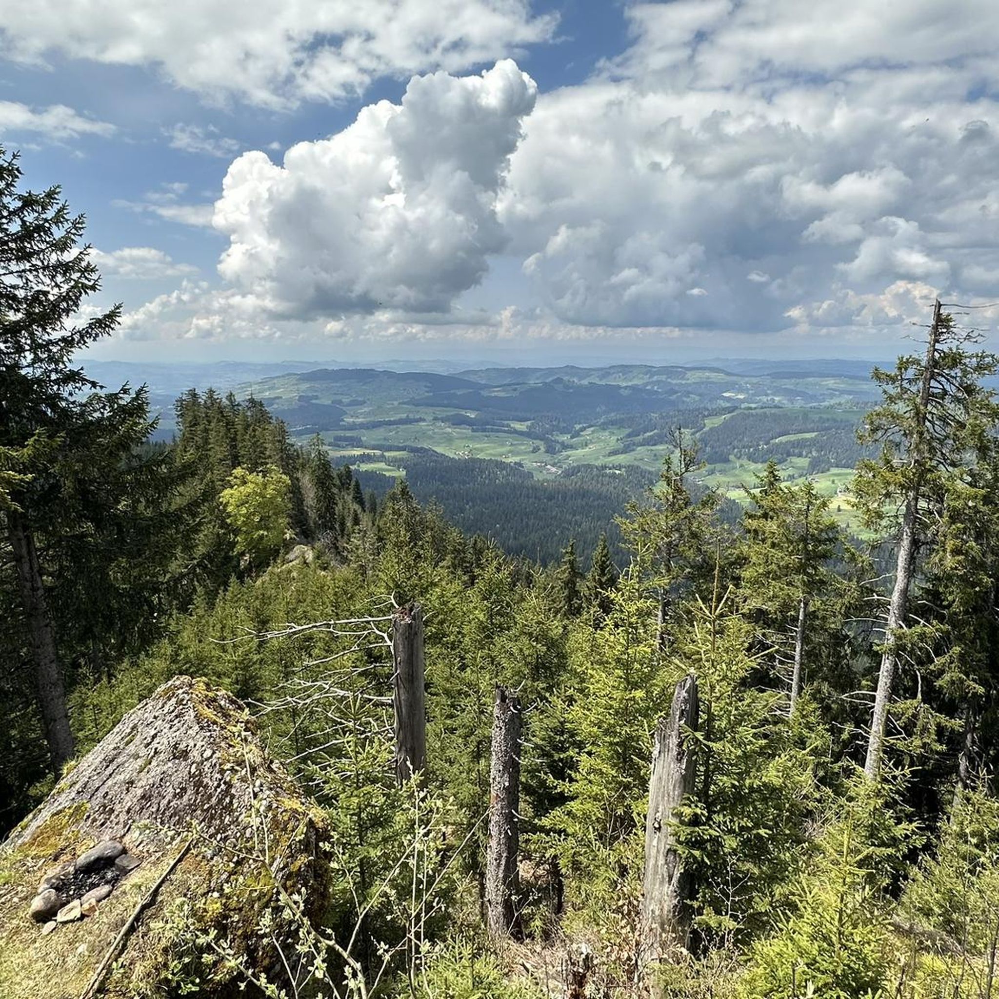
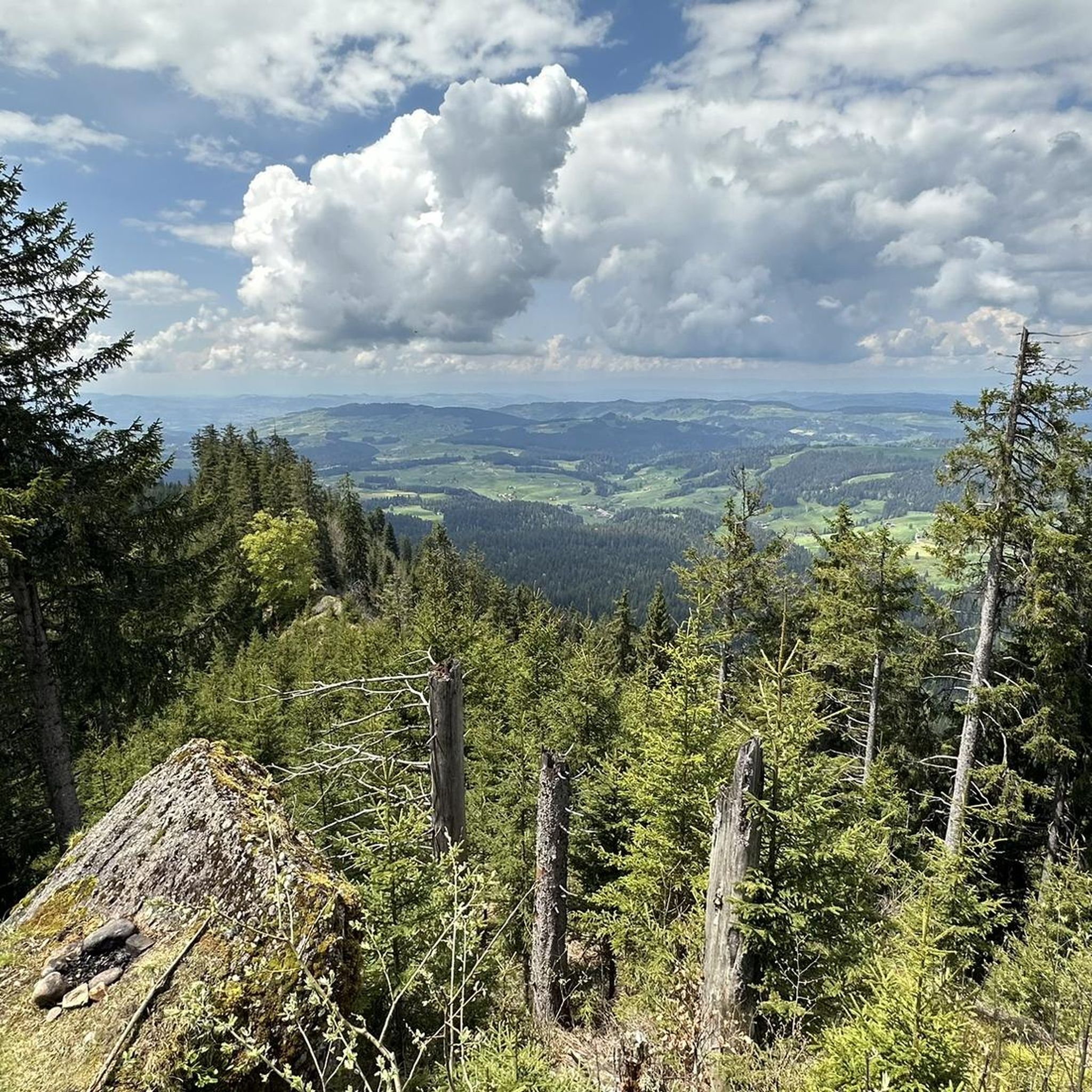
Tips from the Community

Here you'll find very, very nice things for the hiking picnic 😋
0
0

Beautiful alp on the way to the Sigriswiler Rothorn
7
0
Beautiful and little-frequented summit with panoramic views
7
0

Be careful, this is no walk in the park...
0
1

Difficult ascent including easy climbing but at the top everything is forgotten, the effort was worth it, the view is amazing.
0
1

The Sigriswiler Rothorn (2,051 m) is an impressive vantage point high above Lake Thun ⛰️🌊. The ascent is mostly along the ridge and requires surefootedness and a head for heights ⚠️🥾 – caution is advised, especially in wet conditions. At the top, you'll be rewarded with a fantastic 360° panorama: views of the Eiger, Mönch, and Jungfrau, the Mittelland, and Lake Brienz and Lake Thun 🏔️👀 – ideal for a summit rest and impressive photos 📸. Equipment: Sturdy hiking boots, weather protection 🧥, provisions 🥪, water 💧. No food or drink options along the way. Recommendation: Set off early ⏰, and avoid the ridge in uncertain weather. An absolutely worthwhile summit for experienced hikers!
1
0
A beautiful spot with stunning views of the Bernese Oberland! ⛰️🌲. The trail is well marked, but surefootedness is required, especially in wet conditions ⚠️. Recommendation: Start early ⏰ to enjoy the peaceful morning atmosphere! Equipment: Sturdy hiking boots 🥾, weatherproof clothing 🧥, and poles 🦯 if needed. Note: No refreshment stops – bring plenty of water 💧 and provisions 🥪.
2
0
The best dried meat in the world, yogi drinks to wake up tired hikers and nice entertainment. Truly a highlight.
0
0
Frequently Asked Questions
How many mountaineering routes are available in Röthenbach im Emmental?
There are 8 mountaineering routes around Röthenbach im Emmental listed on komoot. The region primarily offers challenging trails, with 7 out of 8 routes rated as difficult.
Are there any easy mountaineering routes for beginners in Röthenbach im Emmental?
The mountaineering routes around Röthenbach im Emmental are generally challenging, with 7 out of 8 routes rated as difficult. There is one moderate route available, but no easy routes specifically for beginners in this selection.
What kind of terrain can I expect on mountaineering routes in Röthenbach im Emmental?
Mountaineering routes in Röthenbach im Emmental traverse diverse alpine foothills, featuring forested slopes, open pastures, and significant ascents. You can expect sustained climbing to high passes and summits, offering extensive panoramic views of the Emmental valley.
Are there any circular mountaineering routes in Röthenbach im Emmental?
Yes, several routes in the area are circular. For example, you can explore the Schafloch Cave West Entrance – Alp Oberbärgli loop from Schwändiblueme, the Sichle Pass – Schibe Summit loop from Säge, or the Trogenhorn loop from Säge, all of which are challenging circular tours.
What do other mountaineers say about the routes in Röthenbach im Emmental?
The mountaineering routes in Röthenbach im Emmental are highly rated by the komoot community, with an average score of 4.7 stars from over 10 reviews. Mountaineers often praise the challenging ascents, panoramic summit views, and varied alpine scenery.
Are there any interesting natural landmarks or attractions along the mountaineering routes?
Yes, the region is known for its caves. You might encounter highlights such as the Schafloch East Entrance or the Schafloch — West Entrance. Additionally, viewpoints like the Blueme Observation Tower offer stunning vistas.
Can I find routes that lead to summits or high passes?
Absolutely. Mountaineering in Röthenbach im Emmental is characterized by routes leading to high passes and summits. For instance, the Sichle Pass – Schibe Summit loop from Säge offers sustained climbing to a summit with expansive views, and the Furggegütsch Summit loop from Schwarzbach also takes you to a prominent peak.
What is the typical duration for these mountaineering routes?
The mountaineering routes in Röthenbach im Emmental typically range from approximately 4.5 to 6 hours to complete. For example, the Schafloch Cave West Entrance – Alp Oberbärgli loop takes around 5 hours and 11 minutes, while the Sichle Pass loop from Säge is about 5 hours and 23 minutes.
Are there any routes that offer a good mix of forest and open alpine sections?
Yes, many routes combine different landscapes. The Trogenhorn loop from Säge, for example, leads through both alpine pastures and forested sections, providing a varied experience.
What is the elevation gain like on these mountaineering routes?
The mountaineering routes in Röthenbach im Emmental feature significant elevation gain, typically ranging from around 600 meters to over 900 meters. For instance, the Trogenhorn loop from Säge involves over 940 meters of ascent.
Is public transport accessible for reaching the starting points of these routes?
Röthenbach im Emmental is generally well-connected by public transport within Switzerland. While specific route starting points may require local bus services or a short walk from train stations, it's advisable to check local timetables for the most convenient access to your chosen trailheads.
Are there opportunities for wildlife spotting on the mountaineering trails?
The Emmental region, with its diverse alpine foothills, forests, and pastures, offers opportunities for observing local wildlife. Keep an eye out for various bird species, deer, and other alpine animals, especially during quieter times of day.
Most popular routes around Röthenbach im Emmental
Most popular attractions around Röthenbach im Emmental

Get inspired with the komoot mobile app


Explore more
Browse the best Mountain Hikes & Routes in other regions.
