The 5 Most Amazing Peaks in Kürnacher Wald
Best mountain peaks in Kürnacher Wald are found within a heavily forested and hilly landscape in the Westallgäu region of Bavaria, Germany. This area is characterized by dense forests and river valleys, offering varied hiking experiences. Several peaks provide elevated perspectives and panoramic views of the surrounding mountains and the Allgäu Alps. The region features a network of trails primarily for easy to moderate hikes through its natural terrain.
Best mountain peaks in Kürnacher Wald
- The most popular mountain peaks…
Last updated: July 4, 2026
Kreuzles Peak
Highlight • Viewpoint
Translated by Google •
Tip by

Wolfsberg Summit Cross
Highlight • Summit
Translated by Google •
Tip by

Sign up now to discover places like this
Get recommendations on the best single tracks, peaks, & plenty of other exciting outdoor places.
Sign up for free
Steinberg Summit (1,050 m)
Highlight • Summit
Translated by Google •
Tip by

Witzgall Lime Tree on Ursersberg (1129 m)
Highlight • Summit
Translated by Google •
Tip by

Gohrersberg (995 m)
Highlight • Summit
Translated by Google •
Tip by

Start today with a free account
Your next adventure awaits.
Login or Signup
Popular around Kürnacher Wald
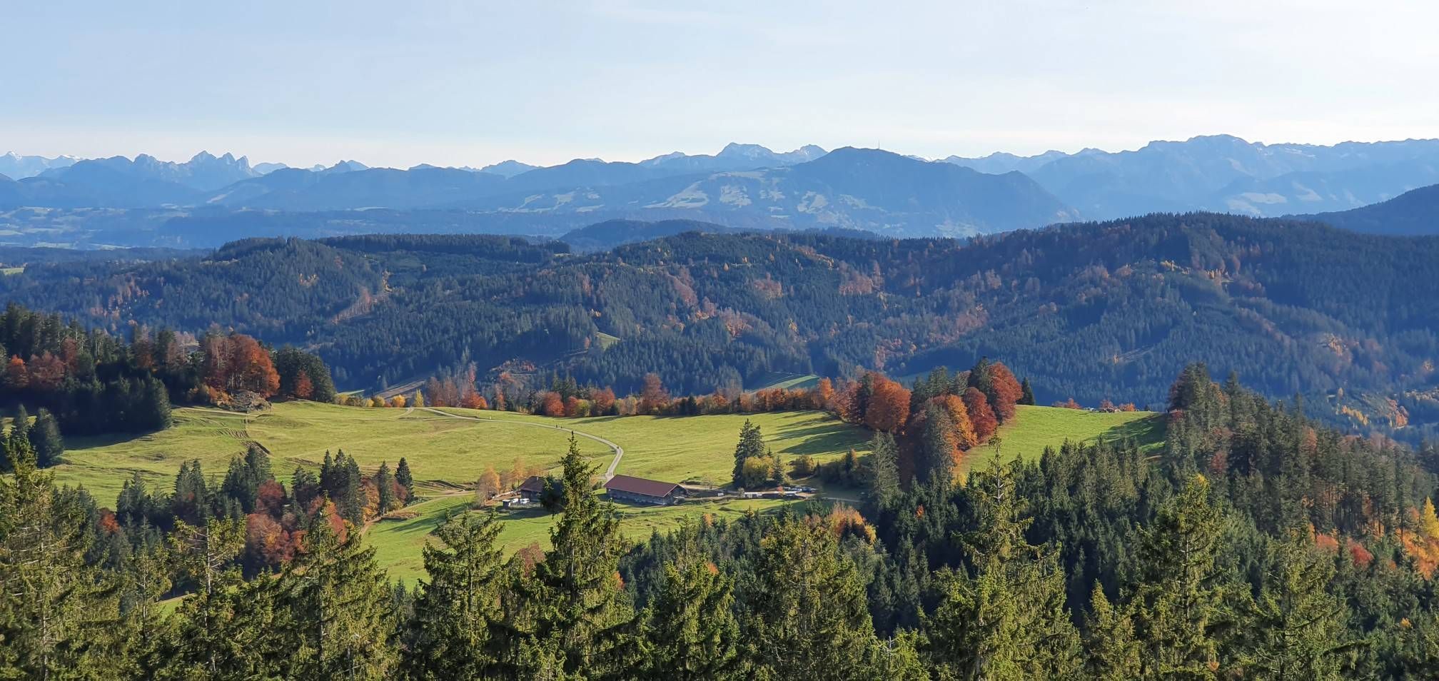
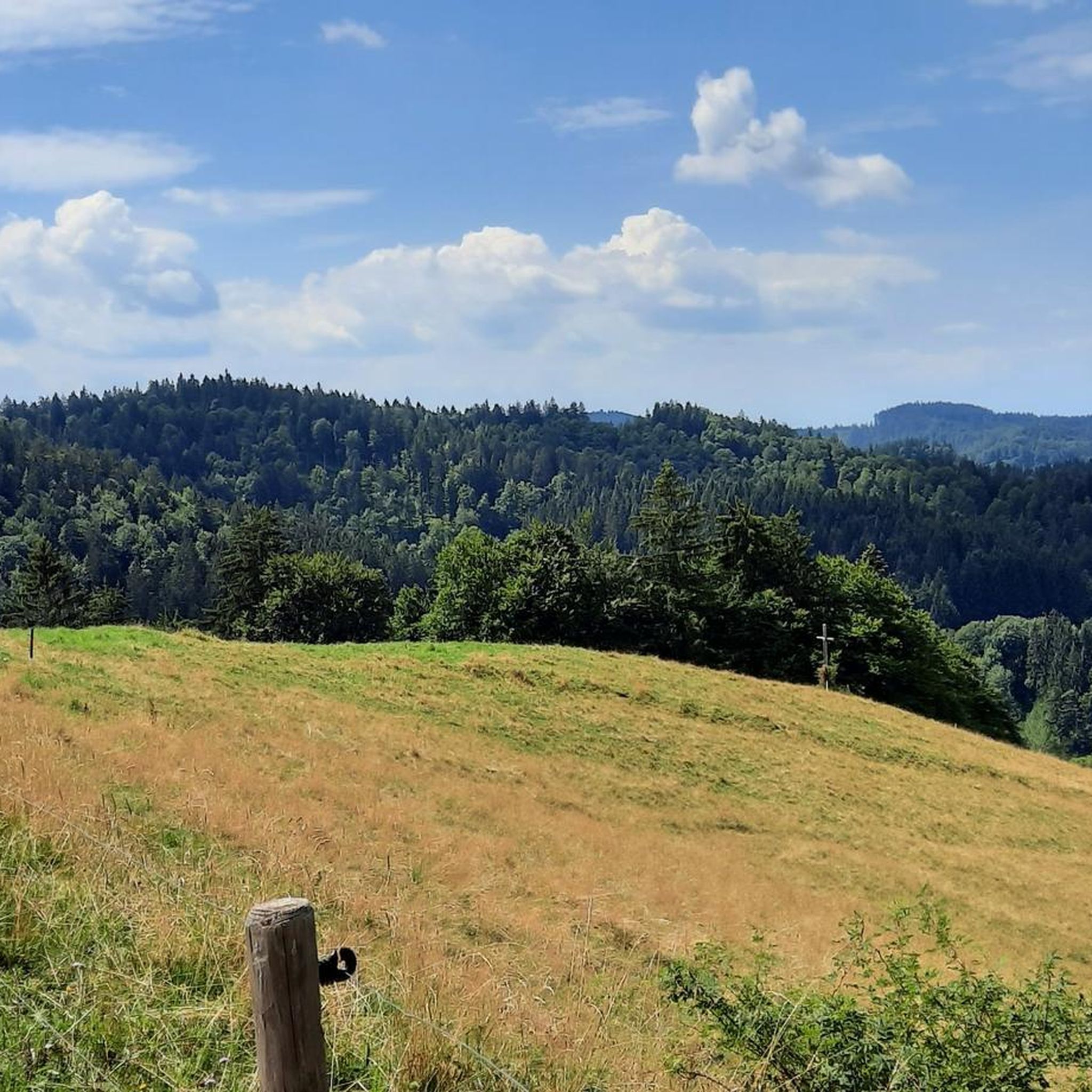
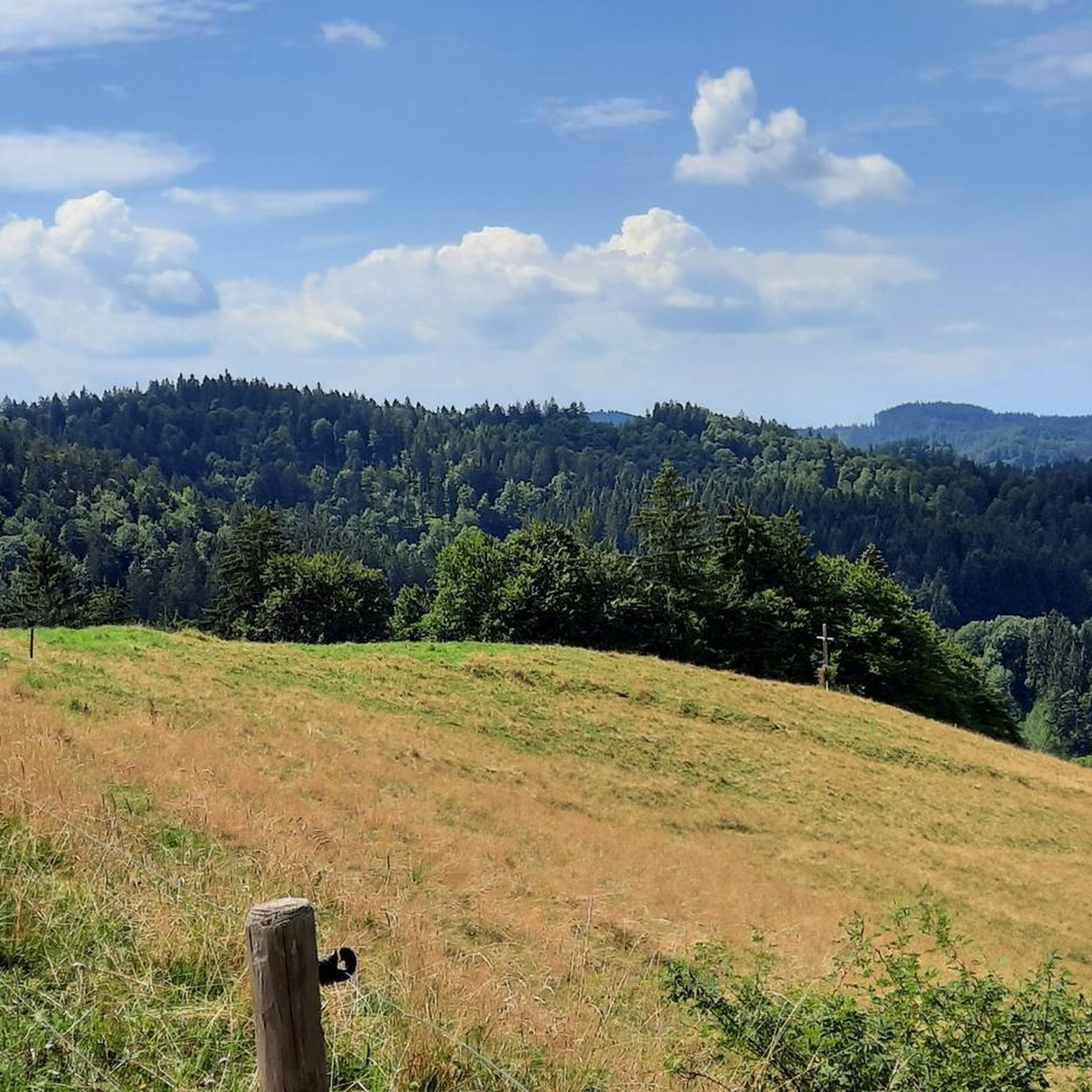
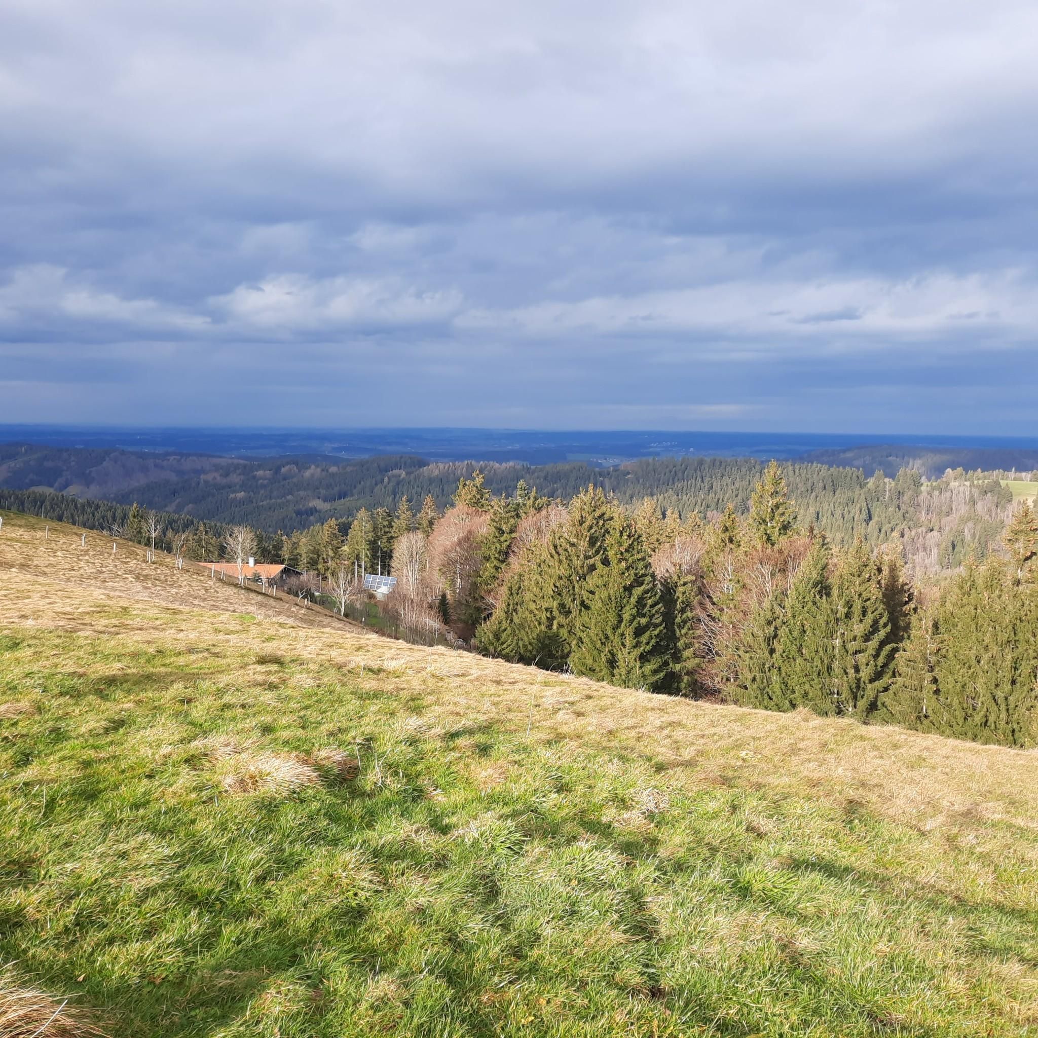
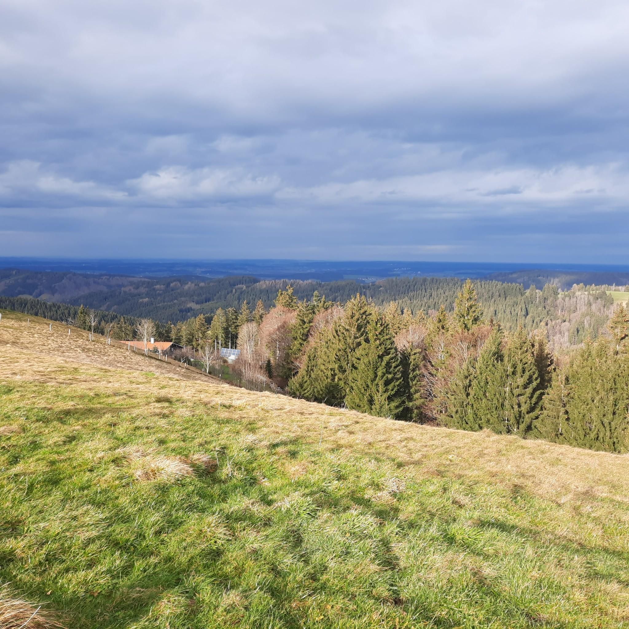
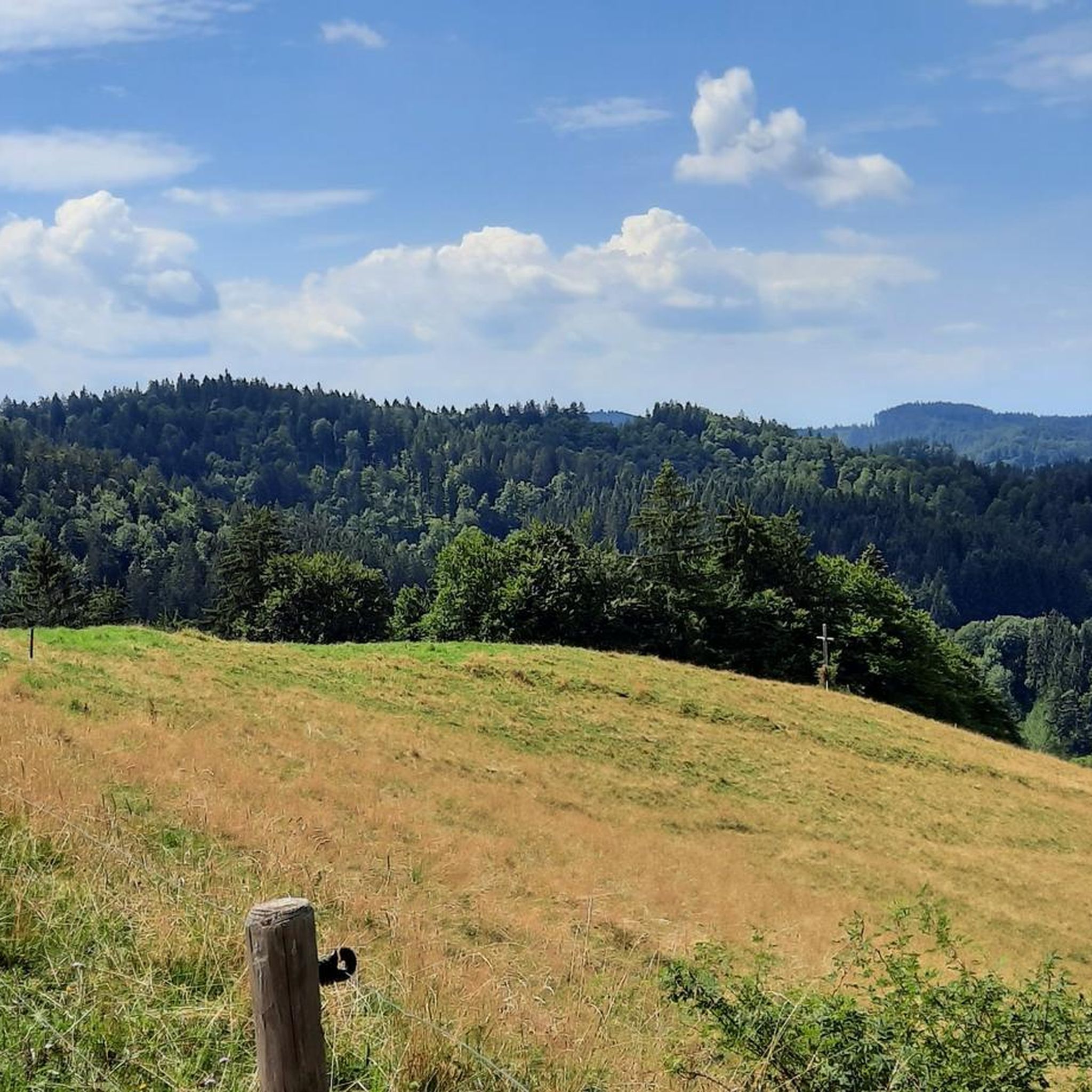

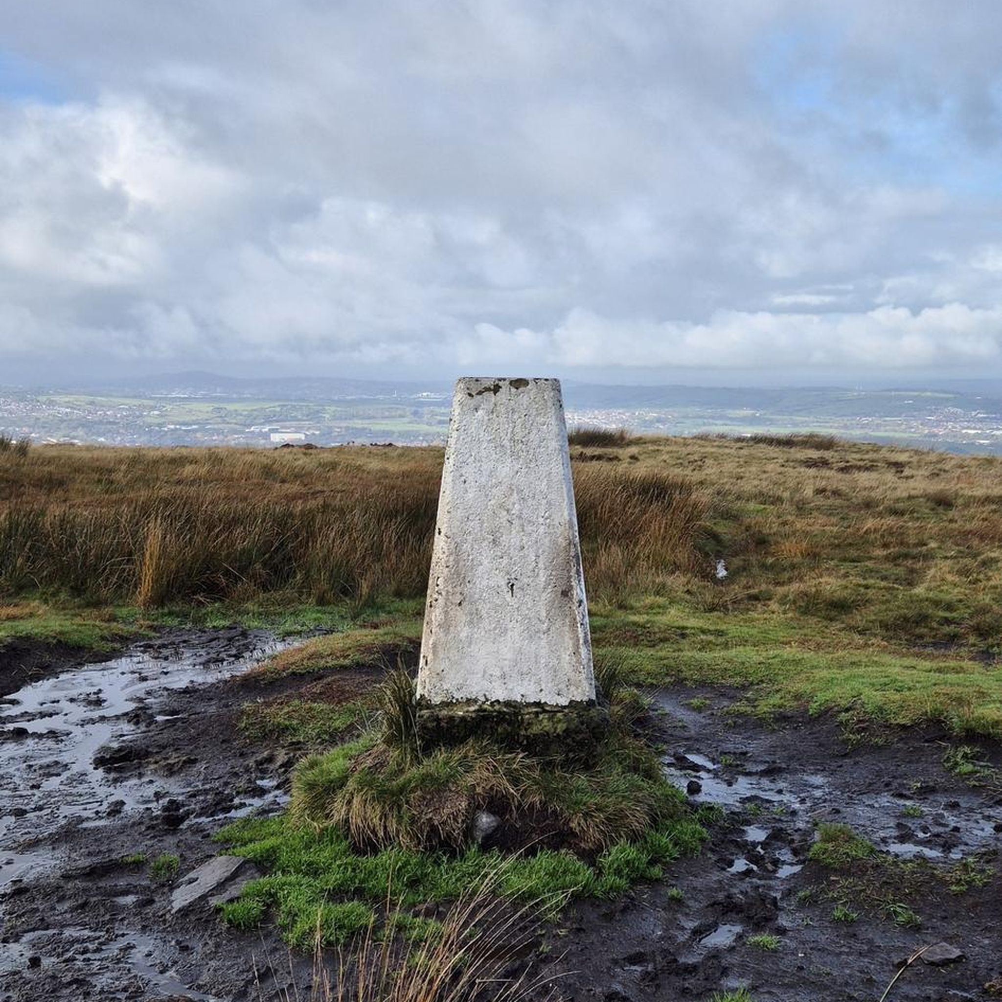
Other adventures in Kürnacher Wald

Tips from the Community

I was going downhill, and despite the clouds, it was fun. There were no "summit victories" due to the lack of mountain views. I wanted to check out the switchbacks on the other side of the slope, but it was too cold. Maybe they're singletrack for cows.
0
0


A valley without a through road - wonderfully quiet with a panoramic view in Swabia.
0
0

Fantastic quiet viewpoint - easy to reach
0
0

On the left in the view the opposite part of the Adelegg. The radio tower between Rudershöhe and Ölberg is easy to see from there for orientation purposes.
1
0
The Ursersberg is the highest point in the Kempten forest district. The venerable Witzgall lime tree marks this point.
0
0

Beautiful panorama. Green and hilly to the horizon.
0
0
Just sit under the tree and enjoy the view.
0
0
Frequently Asked Questions
What are the most popular mountain peaks in Kürnacher Wald?
The Kürnacher Wald offers several notable peaks. Among the most popular are Kreuzles Peak, known for its panoramic views, and Wolfsberg Summit Cross, a quiet spot with great vistas. The Witzgall Lime Tree on Ursersberg (1129 m) marks the highest point in the Kempten forest district, offering a unique natural monument.
Are there family-friendly mountain peaks or trails in Kürnacher Wald?
Yes, the Kürnacher Wald is ideal for various hiking abilities, with many easy to moderately challenging routes available. Kreuzles Peak is listed as family-friendly and accessible via a well-regarded hiking trail, featuring a chapel and a viewing platform at the top.
What kind of views can I expect from the mountain peaks?
Many peaks in Kürnacher Wald offer expansive views. From Kreuzles Peak, visitors report fantastic views stretching as far as Lake Constance. Wolfsberg Summit Cross also provides great views, particularly from its sunny slope. The region's undulating terrain and dense forests mean many elevated points provide picturesque landscapes of the Westallgäu.
Are there historical sites near the mountain peaks in Kürnacher Wald?
Yes, the region has historical significance. Ursersberg, the highest peak, is near the "Große Schwedenschanze" (Great Swedish Redoubt), a historical defensive earthwork. The Änger, another high peak, is associated with the "Kleine Schwedenschanze." Additionally, the Wolfsberg once had a settlement with farmhouses, and an information board there provides details about its past.
What outdoor activities can I do near these mountain peaks?
The Kürnacher Wald offers a variety of outdoor activities. You can explore numerous hiking trails, from easy to moderate, such as those found in the Easy hikes in Kürnacher Wald guide. For cyclists, there are traffic-free bike rides, including routes that pass by peaks like Raggenhorn and Kreuzles Peak, detailed in the Traffic-free bike rides in Kürnacher Wald guide.
What is the best time of year to visit the mountain peaks in Kürnacher Wald?
The Kürnacher Wald is beautiful year-round, but the best time for hiking the mountain peaks is typically from spring to autumn when the weather is milder and trails are clear. During these seasons, the dense forests and river valleys are particularly vibrant. Winter hiking is also possible, but requires appropriate gear and awareness of snow conditions.
Are there any specific natural features to look out for?
Beyond the peaks themselves, the Kürnacher Wald is characterized by dense forests and picturesque river valleys, with numerous small tributaries of the Kürnach and Eschach rivers. The Witzgall Lime Tree on Ursersberg is a notable natural monument, marking the highest point in the Kempten forest district.
What do visitors enjoy most about the mountain peaks in Kürnacher Wald?
Visitors frequently praise the stunning views, especially from spots like Kreuzles Peak, which offers vistas as far as Lake Constance. The quiet atmosphere and great views from places like Wolfsberg Summit Cross are also highly appreciated. Many enjoy the well-maintained trails and the combination of natural beauty with historical elements.
What is the highest point in the Kürnacher Wald?
The highest point in the Kürnacher Wald is Ursersberg, standing at approximately 1129 meters (3,704 feet) above sea level. This peak is marked by the venerable Witzgall Lime Tree.
Are there options for easy hikes to mountain peaks?
Yes, the Kürnacher Wald offers many easy to moderately challenging routes. While some peaks involve intermediate climbs, the overall terrain is suitable for various fitness levels. You can find several easy routes, including those that offer views of peaks like Raggenhorn, in the Easy hikes in Kürnacher Wald guide.
Can I find cafes or restaurants near the Kürnacher Wald mountain peaks?
While specific cafes directly on the peaks are rare, the Kürnacher Wald region, being a popular hiking destination, has various cafes, pubs, and accommodation options in nearby towns and villages. It's advisable to check local listings in places like Buchenberg-Eschach or other surrounding communities for dining choices before or after your hike.
Most popular routes in Kürnacher Wald
Most popular attractions in Kürnacher Wald

Get inspired with the komoot mobile app


Explore more
See even more amazing summits in Kürnacher Wald with these guides:
