Black Point-Green Point
Black Point-Green Point
The 7 Most Amazing Peaks around Black Point-Green Point
Best mountain peaks around Black Point-Green Point are situated in Marin County, California, an area known for its natural landscapes, including coastal cliffs, marshes, and rolling hills. While the CDP itself has a lower elevation, the surrounding region offers several notable mountains. These peaks provide opportunities for outdoor recreation and scenic views. The hiking experiences are characterized by a mix of oak woodlands and rolling hills, with trails suitable for various ability levels.
Best mountain peaks around Black Point-Green Point
…Last updated: June 28, 2026
Big Rock Trail to ridge summit above Lucas Films Studio
Highlight • Summit
Tip by

Big Rock Ridge
Highlight • Summit
Tip by

Sign up now to discover places like this
Get recommendations on the best single tracks, peaks, & plenty of other exciting outdoor places.
Sign up for free
Big Rock -- Lucas Valley Rd Summit
Highlight • Natural Monument
Tip by

Burdell Mountain
Highlight • Summit
Tip by
Mount Burdell Open Space Preserve
Highlight • Forest
Tip by

Sign up for free to discover even more peaks around Black Point-Green Point.
Sign up for free
Already have an account?
Start today with a free account
Your next adventure awaits.
Login or Signup

Tips from the Community

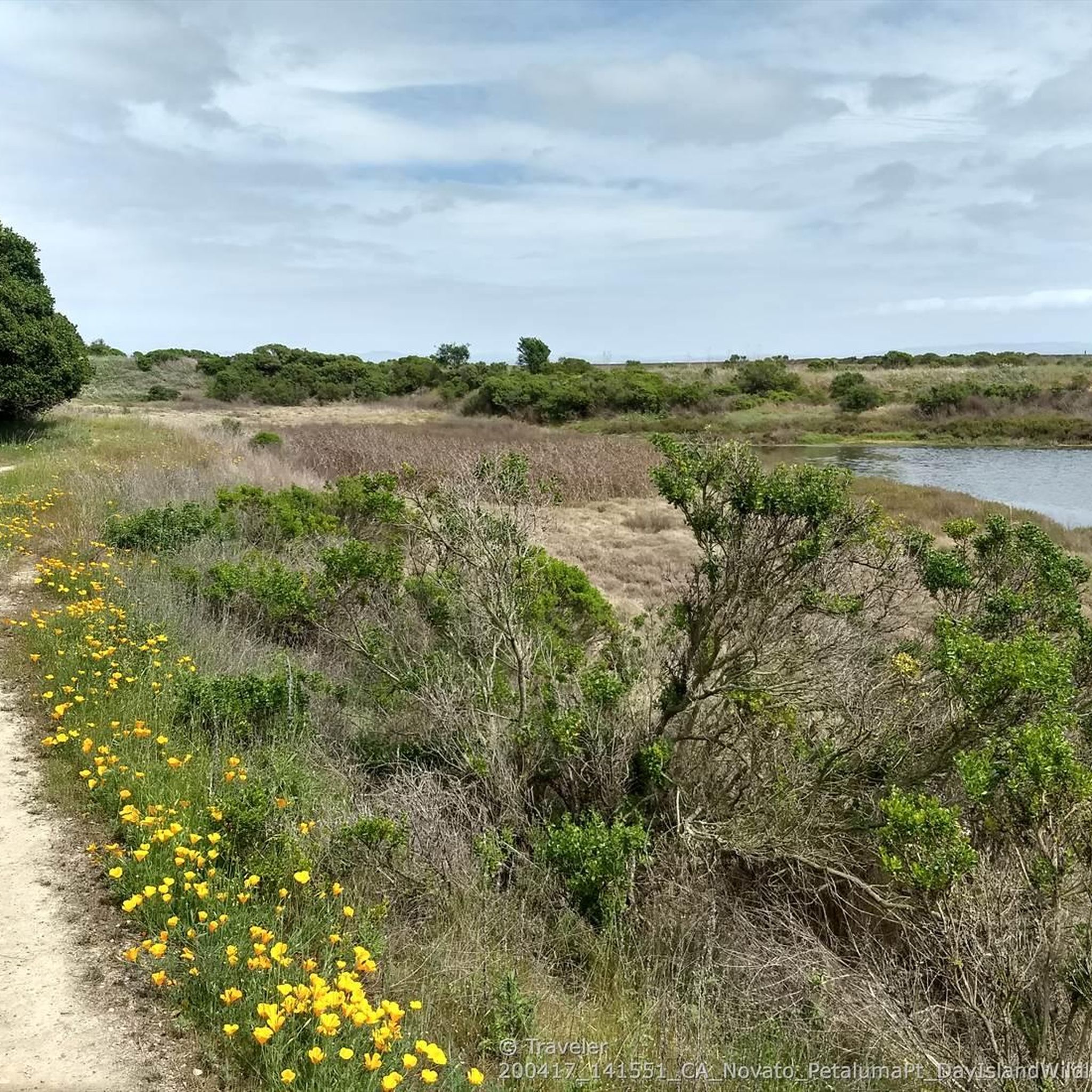
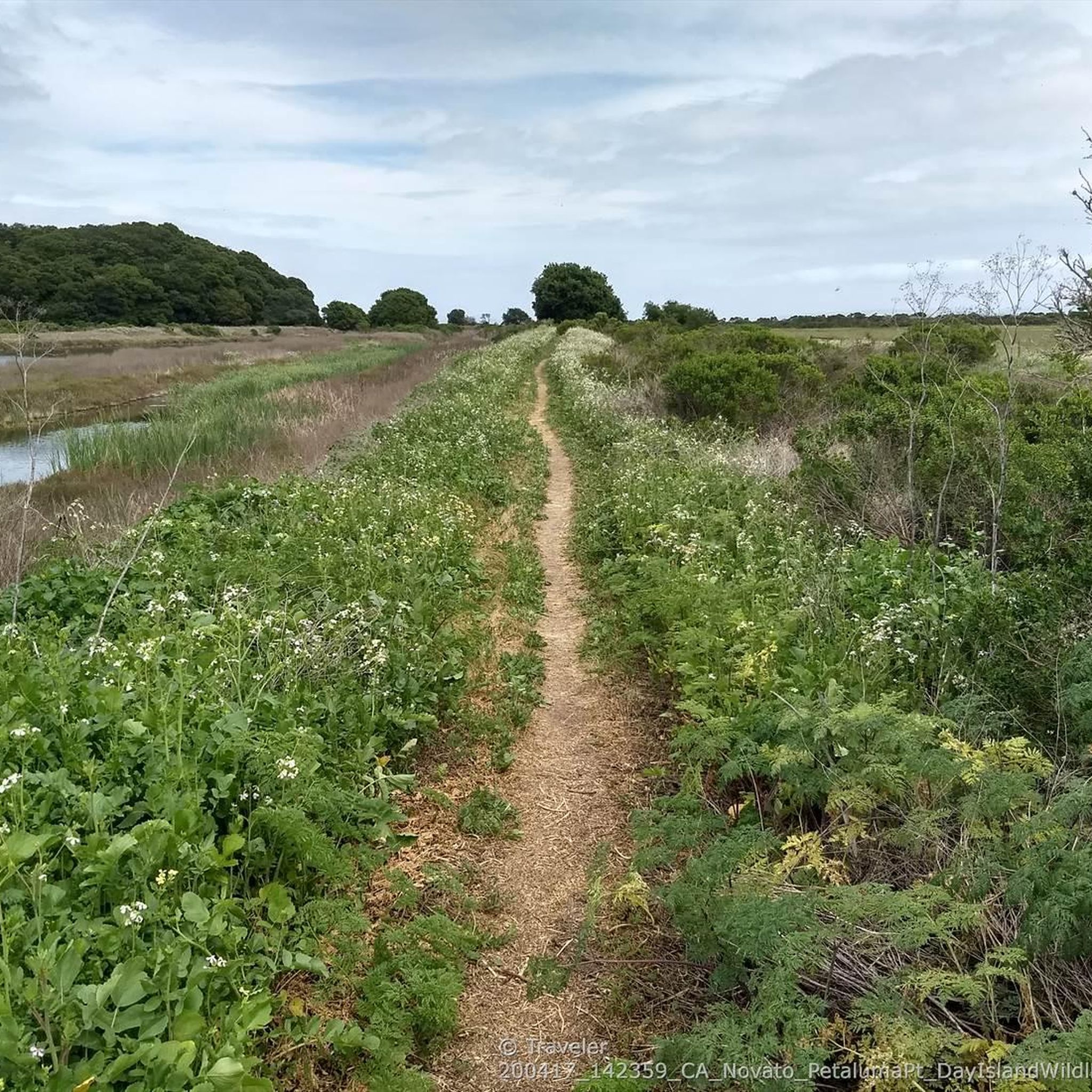
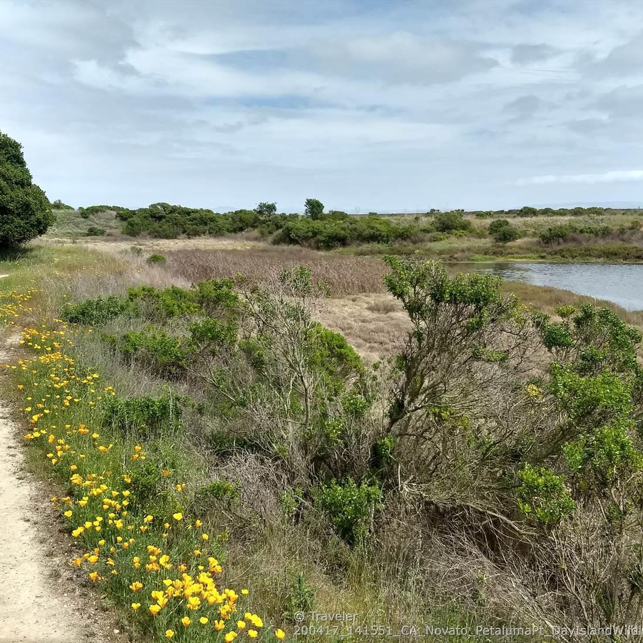
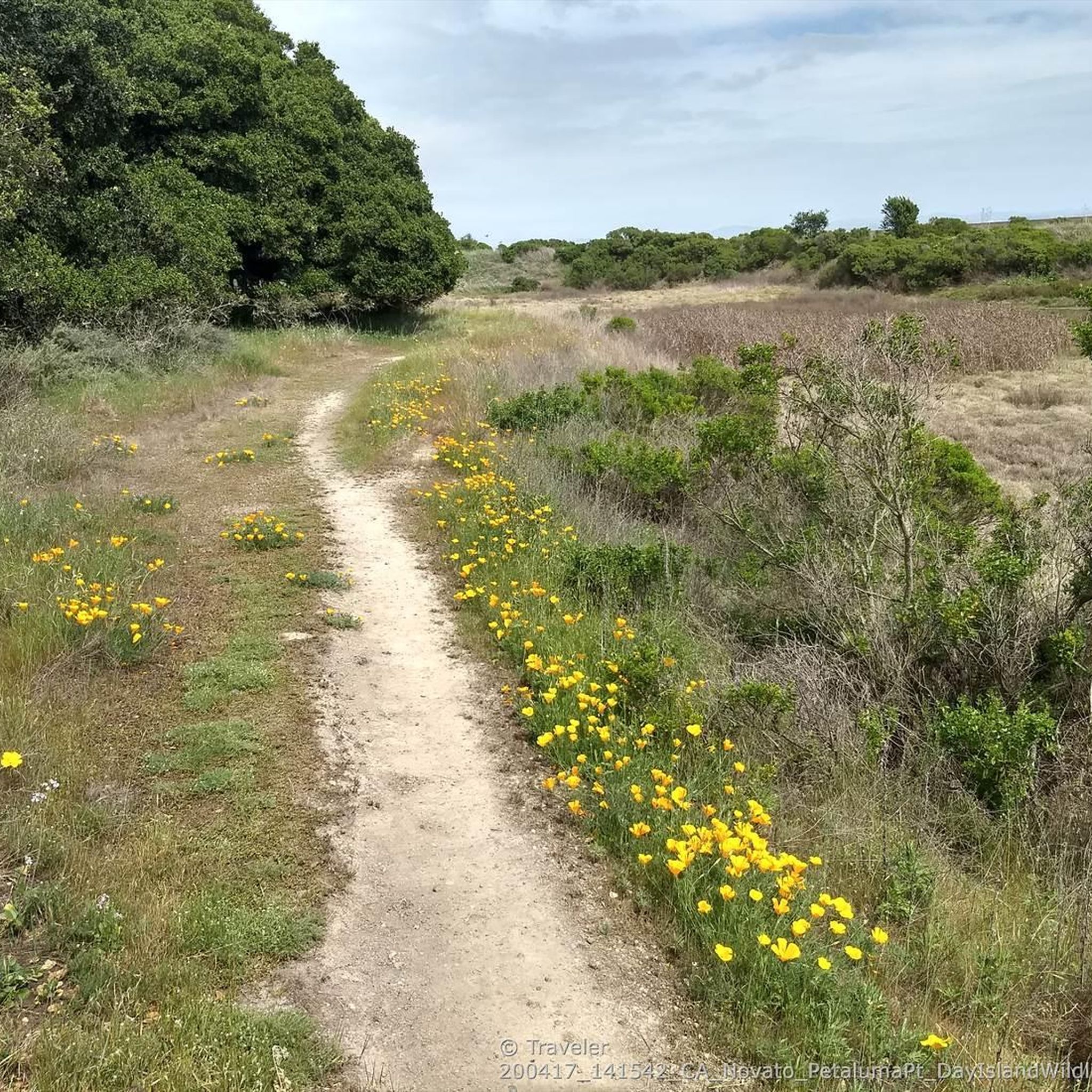
Spanning 1,627 acres, this park features extensive trails for hiking, running, and biking. The main attractions include Mount Burdell, standing at 1,558 feet above sea level, and Hidden Lake, a seasonal pond. Throughout the park, there are ample opportunities to encounter wildlife, including frogs, salamanders, cattle, and deer.
0
0

Big Rock Ridge, a striking ridge near Novato, California, standing as Marin County's second-tallest peak. Spanning 5 miles from northwest to east, it creates a natural boundary for central and southern Marin County. Named after the rock at the base of Big Rock Trail, this ridge promises awe-inspiring views and invigorating trails.
0
0

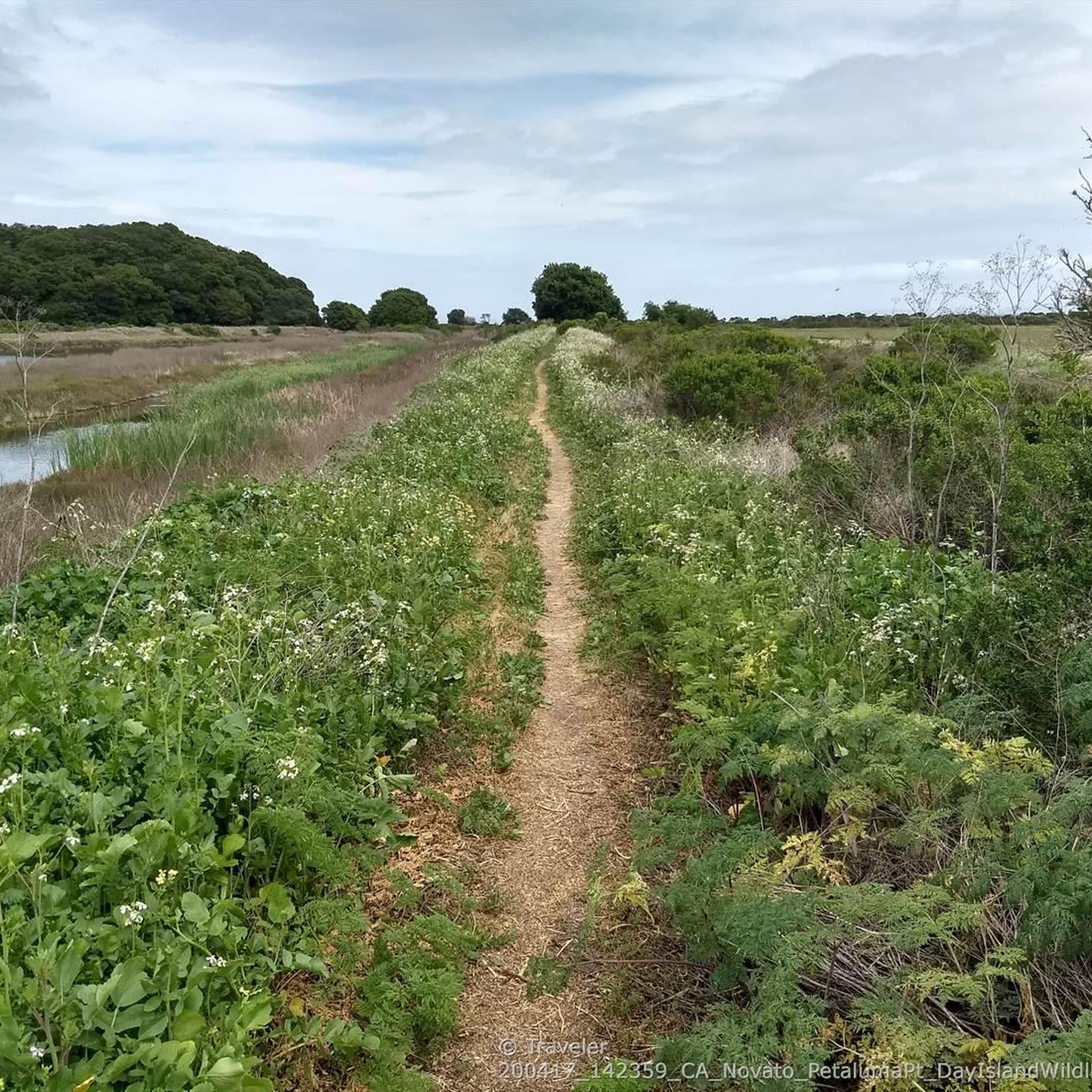
Big Rock Trail cuts through Lucas Valley Open Space to reach the 2nd highest point in Marin County. From later winter through early summer the hills are verdant green and often covered in wildflowers. Bring plenty of water and a wide brimmed hat if it's a warm day as there is little shade, but this means the views are wide open and beautiful.
1
0
Depending on your approach, Burdell Mountain can be very exposed. Be sure to check the weather and prepare for it to change quickly. Once you reach the summit the views are definitely worth your efforts.
0
0

Highest point on Big Rock Ridge Fire Road with panoramic views of the Bay, Marin county, and even across the East bay to Mt. Diablo and south to San Francisco. A short spur trail here leads to a point with slightly better views down over Skywalker Ranch and the Lucas Valley.
0
0

Be careful on the descent, the pavement can get slippery. This is a great trail access spot for MTB and hiking.
1
0
The highest point along the popular biking route is marked by a prominent large Rock standing near the road. The trailhead for hikes up to the ridge also serves as a good rest stop away from traffic, as the road is otherwise narrow without shoulders.
2
2
Tucked next door to George Lucas's Skywalker Ranch, Lucas Valley Open Space protects 1,271 acres of verdant land and some of the season's most electrifying green hills. It's also home to the second highest point in Marin, reached via a 3.5-mile (one-way) hike. Big Rock Trail leads hikers and mountain bikers to its namesake ridge and a high point of 1,895 feet (an elevation second only to Mount Tam). There's no parking lot or visitor center signaling the trailhead, just a pull-off at the crest of Lucas Valley Road. Then it's onward (or, more like upward), weaving along singletrack that offers a bird's-eye view of Skywalker Ranch, along with seasonal flowers like blue-eyed grass, pink checkerbloom, and buttercups. The last half-mile is a ridge ramble with the high point marked by two antennas. The antennas aren't beautiful, but the views are, spanning from Mount St. Helena to Montara Mountain. The Tiburon Peninsula looks like a finger pointing into the Bay. From Hwy. 101 in Marin, exit Lucas Valley Rd and go about 5 miles west. The road crests at the "big rock." Keep going west and find a safe place to turn around, then park on the side of Lucas Valley Rd. Take Big Rock Trail heading north up to Big Rock Ridge. Elevation gains around 1200-1400ft Hike time 3-4 hours http://www.marincountyparks.org/Depts/PK/Divisions/Open-Space/Lucas-Valley
1
1
Frequently Asked Questions
What are some of the most notable mountain peaks to explore near Black Point-Green Point?
The region around Black Point-Green Point offers several prominent peaks. Among them are Big Rock Ridge, which is Marin County's second-tallest peak, and Big Rock Trail to ridge summit above Lucas Films Studio, offering wide-open views of Skywalker Ranch. Additionally, Burdell Mountain within the Mount Burdell Open Space Preserve is a popular choice for its panoramic views.
What kind of views can I expect from the mountain peaks in this area?
From peaks like Big Rock Ridge, you can enjoy panoramic vistas of the Bay, Marin County, Mount Diablo, and even San Francisco. The Big Rock Trail to ridge summit above Lucas Films Studio provides expansive views of Skywalker Ranch and the surrounding verdant hills.
Are there challenging hiking routes available near Black Point-Green Point?
Yes, for more adventurous hikers, Mount Tamalpais, while not directly adjacent, is a significant natural landmark in Marin County known for its dramatic elevation changes and extensive trail system, offering challenging routes over 10 miles with considerable elevation gain. Within the immediate area, trails leading to summits like Big Rock Trail to ridge summit above Lucas Films Studio can involve elevation gains of 1200-1400 feet, making for a strenuous 3-4 hour hike.
What are some family-friendly options for mountain walks in the Black Point-Green Point area?
The hiking experiences around Black Point-Green Point are characterized by a mix of oak woodlands and rolling hills, with trails suitable for various ability levels. While specific 'family-friendly' categories aren't listed for individual peaks, the Mount Burdell Open Space Preserve offers diverse terrain, and an easier 3.5-mile loop on Mount Burdell provides Bay Area views and forests, which could be suitable for families.
What wildlife might I encounter on the mountains near Black Point-Green Point?
In areas like the Mount Burdell Open Space Preserve, you have ample opportunities to observe wildlife such as frogs, salamanders, cattle, and deer. The diverse habitats, from oak woodlands to grasslands, support a variety of species.
What is the best time of year to hike the mountains around Black Point-Green Point?
From late winter through early summer, the hills are verdant green and often covered in wildflowers, making it a beautiful time to visit. However, many trails, especially those leading to summits like Burdell Mountain and Big Rock Trail to ridge summit above Lucas Films Studio, can be very exposed with little shade. It's advisable to bring plenty of water and a wide-brimmed hat on warm days.
Are there loop walks available on the peaks near Black Point-Green Point?
Yes, for instance, the Mount Burdell area offers a 5.6-mile Burdell Mountain & Bay Area Ridge Trail loop, which is a favorite among local hiking enthusiasts. There's also an easier 3.5-mile loop on Mount Burdell. You can find more hiking loops in the area by exploring the Hiking around Black Point-Green Point guide.
What other outdoor activities can I do near these mountain peaks?
Beyond hiking, the area offers excellent opportunities for cycling. You can find various road cycling routes, including challenging loops like the Tomales Bay loop, and gravel biking options such as the 680 Trail – Big Rock Ridge loop. For more details, check out the Road Cycling Routes around Black Point-Green Point and Gravel biking around Black Point-Green Point guides.
Is parking available for trails leading to these mountain peaks?
For trails like the Big Rock Trail to ridge summit above Lucas Films Studio, there isn't a dedicated parking lot or visitor center. Instead, you'll find pull-offs at the crest of Lucas Valley Road where you can park safely on the side. The Big Rock -- Lucas Valley Rd Summit also serves as a good rest stop and trailhead access point.
Are dogs allowed on the hiking trails around Black Point-Green Point peaks?
While specific regulations for each trail vary, many open space preserves in Marin County, including parts of Mount Burdell Open Space Preserve, generally allow dogs on trails, often requiring them to be on a leash. It's always best to check the specific rules for the preserve or trail you plan to visit beforehand.
What natural features, besides peaks, can I find in the Mount Burdell Open Space Preserve?
The Mount Burdell Open Space Preserve, spanning 1,627 acres, features not only the summit of Mount Burdell but also Hidden Lake, a seasonal pond. The preserve is characterized by diverse habitats including oak woodlands and grasslands, offering varied terrain and scenic beauty.
What do visitors enjoy most about the mountain peaks near Black Point-Green Point?
Visitors frequently appreciate the panoramic views of the Bay, Marin County, and distant landmarks like Mount Diablo and San Francisco. The diverse trails, ranging from moderate to challenging, and the opportunity to observe wildlife in natural settings are also highly valued. The tranquility and natural beauty of the coastal community experience are a significant draw.
Most popular routes around Black Point-Green Point
Most popular attractions around Black Point-Green Point

Get inspired with the komoot mobile app


Explore more
See even more amazing summits around Black Point-Green Point with these guides:
