Top 7 Waterfalls around Area D (Elaho/Garibaldi)
Best waterfalls around Area D (Elaho/Garibaldi) are found in the Elaho and Garibaldi regions, offering diverse features and experiences. This area, particularly near Squamish and Whistler, is home to notable cascades. The region features a variety of waterfalls, from easily accessible roadside attractions to more challenging backcountry destinations.
Best waterfalls around Area D (Elaho/Garibaldi)
- The most popular waterfalls is Shannon Falls, a waterfall that plunges 335 meters, making it one of British Columbia's highest. The main fall alone has…
Last updated: October 13, 2026
Brandywine Falls
Highlight • Waterfall
Tip by

Shannon Falls
Highlight • Waterfall
Tip by

Sign up now to discover places like this
Get recommendations on the best single tracks, peaks, & plenty of other exciting outdoor places.
Rainbow Falls
Highlight • Waterfall
Tip by
Shannon Falls Recreation Area
Highlight • Waterfall
Tip by
Olesen Creek Falls
Highlight • Waterfall
Tip by

Sign up for free to discover even more waterfalls around Area D (Elaho/Garibaldi).
Already have an account?
Start today with a free account
Your next adventure awaits.
Popular around Area D (Elaho/Garibaldi)
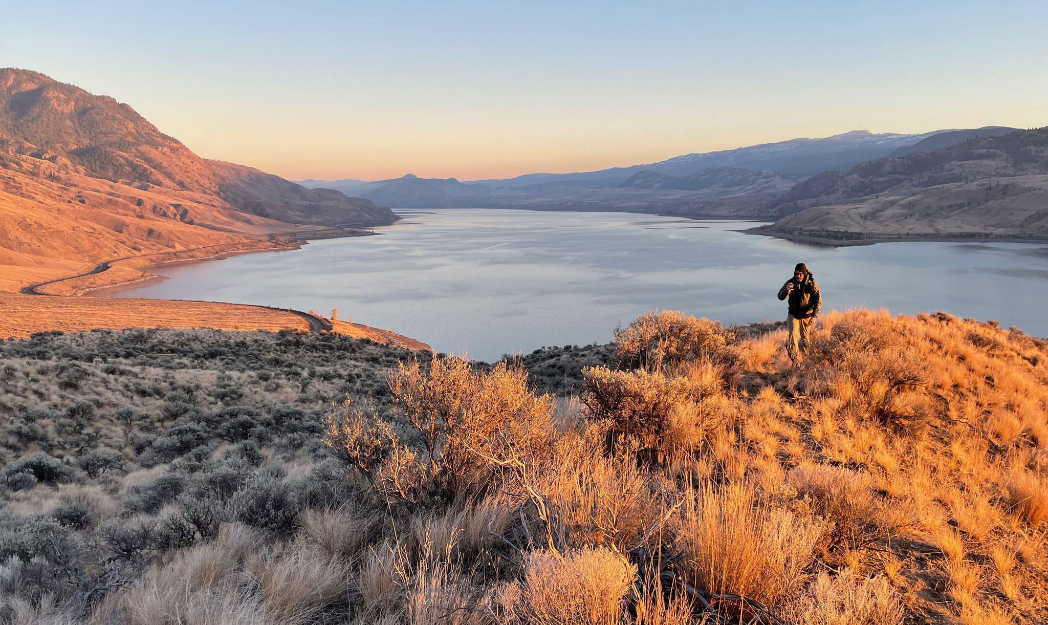
Forests, desert, wilderness - day tours in British Columbia

Breathtaking British Columbia — hikes near Squamish & Whistler

MTB Road Trip Sea-to-Sky – dream trails in British Columbia
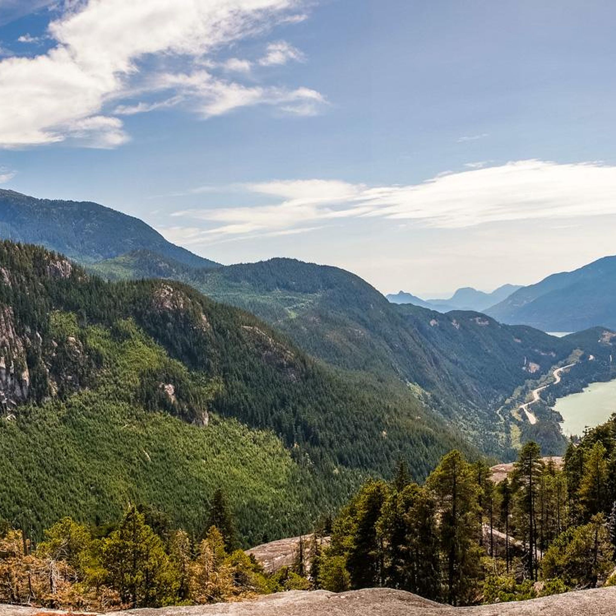
Hiking around Area D (Elaho/Garibaldi)
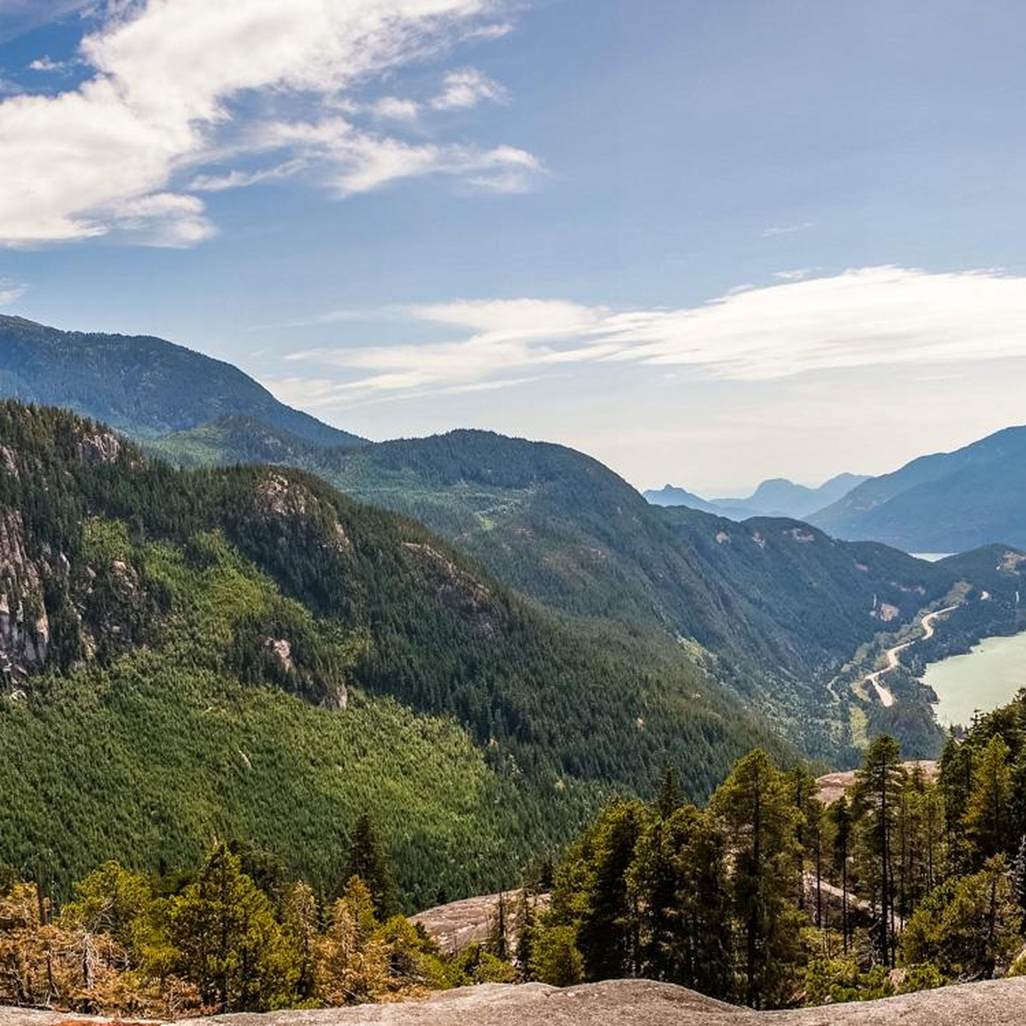
MTB Trails around Area D (Elaho/Garibaldi)
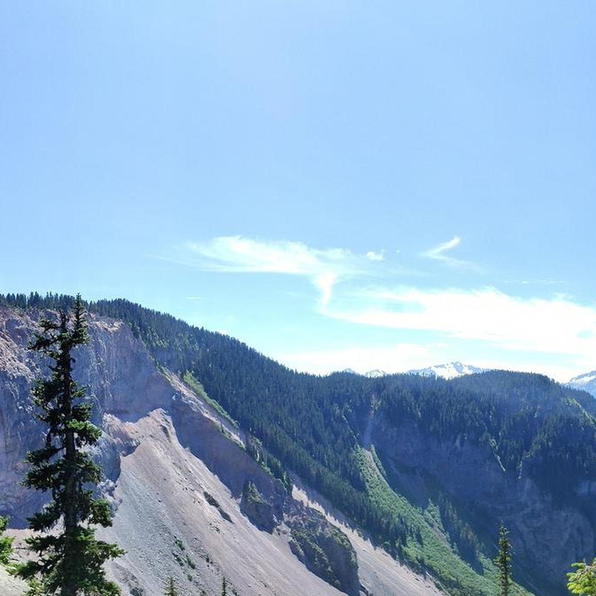
Cycling around Area D (Elaho/Garibaldi)
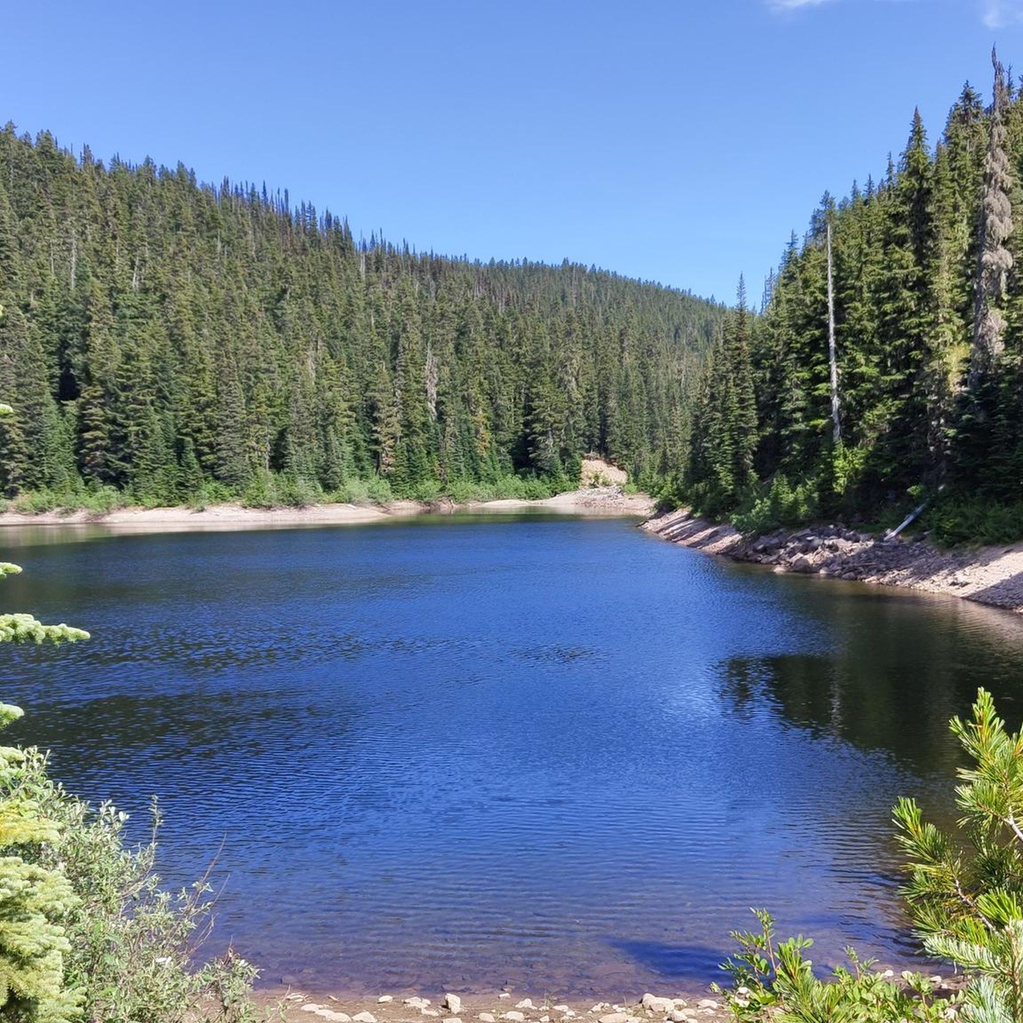
Running Trails around Area D (Elaho/Garibaldi)
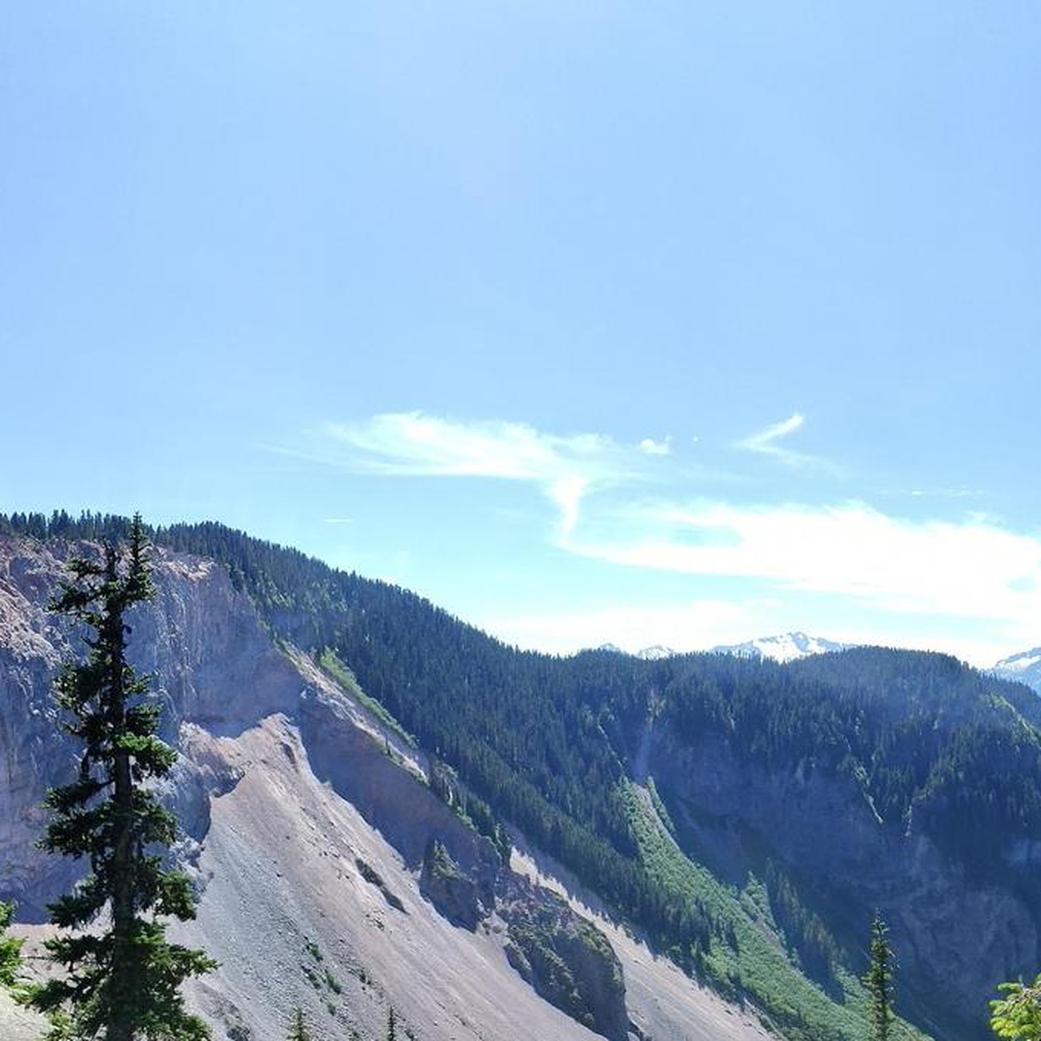
Road Cycling Routes around Area D (Elaho/Garibaldi)

Gravel biking around Area D (Elaho/Garibaldi)
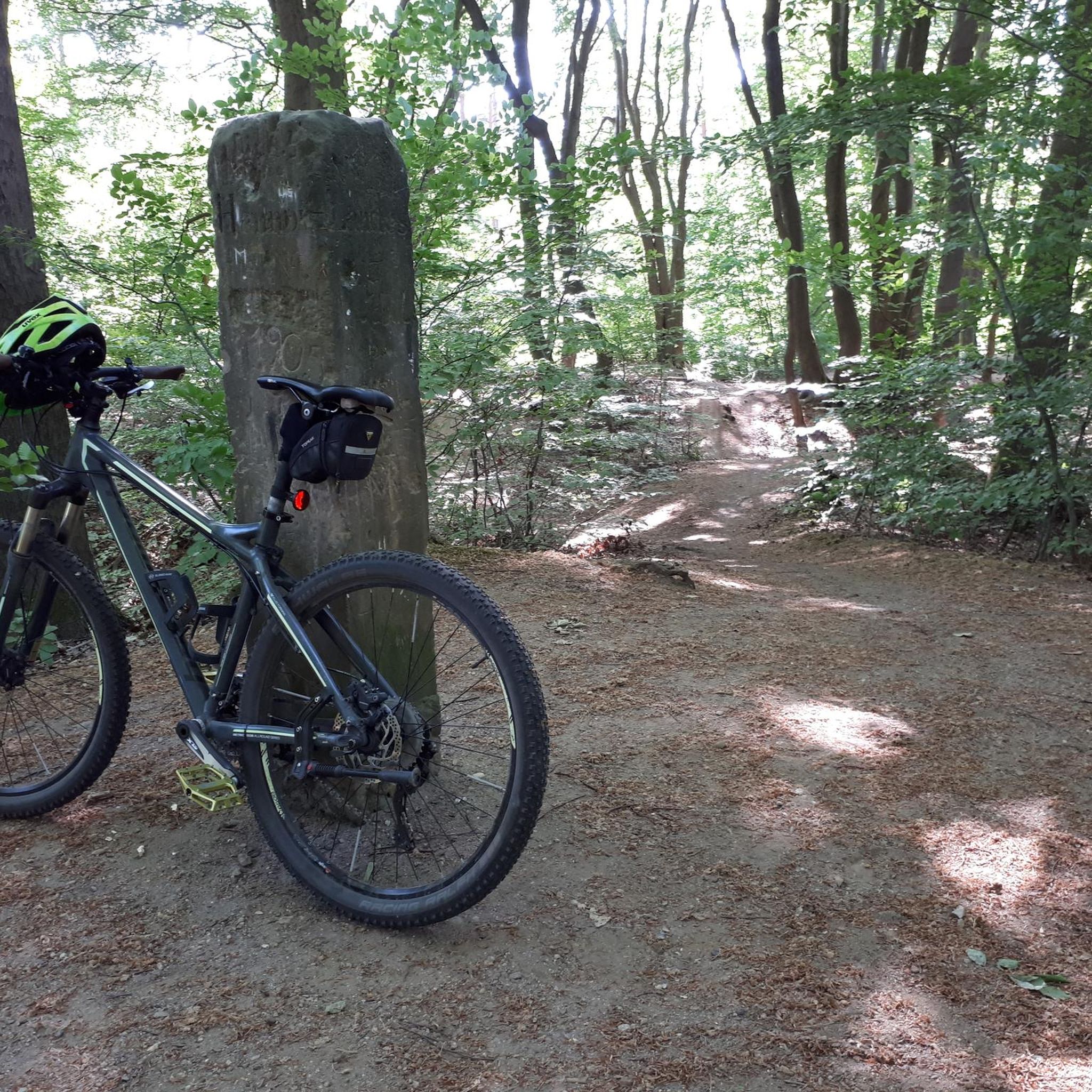
Mountain Hikes around Area D (Elaho/Garibaldi)
Other adventures around Area D (Elaho/Garibaldi)


Tips from the Community


This small, beautiful waterfall is accessed via a short, but steep hike on the Chief Peaks Trail. You can use this as a rest point for a longer hike into the mountains or as your destination and turn around point for a shorter, out and back hike.
0
0

At Rainbow Falls, the roaring waters of Twentyone Mile Creek cascade steeply down the narrow gorge in several spectacular cascades and steps – a total drop of about 27 meters. The mountain stream flows about 100 meters down into Alta Creek, which connects Alta Lake with Green Lake. Rainbow Falls can be visited at any time of year; the water levels in Twentyone Mile Creek are at their highest in May and early June, and at their lowest during the summer months. In winter, the creek's water may be frozen. (Visit May 29, 2025) https://www.worldwaterfalldatabase.com/index.php/waterfall/Rainbow-Falls-2055
2
1
From the southern vantage point of Brandywine Falls, you have a magnificent view of Daisy Lake Reservoir and Black Tusk Mountain in the Garibaldi Ranges of the Coast Mountains. The Daisy Lake Reservoir was created in 1926 after the construction of the Cheakamus Dam; the dam was replaced in 1984. The reservoir is part of the Cheakamus Hydroelectric Power Plant on the Squamish River. https://www.bchydro.com/energy-in-bc/operations/transmission-reservoir-data/previous-reservoir-elevations/lower-mainland/daisy_lake_dsy.html
0
0
Shannon Falls is often described as one of the highest waterfalls in British Columbia, but its exact height is not confirmed. The height of the falls is given as 335.3 metres. This value has since been disputed, with reference to information on contour lines on topographic maps. Based on this, the height is estimated at around 250 metres; only the lower 140 metres are visible from the lookout points. Shannon Creek and Falls were named after the William Shannon, who settled in the area in 1889. (Visit June 5, 2018 & May 14, 2023) https://www.worldwaterfalldatabase.com/waterfall/Shannon-Falls-1969
2
0
Brandywine Falls is a popular waterfall along the Sea-to-Sky Corridor between Vancouver and Whistler. The falls plunge 59 meters over a cliff that was carved into a deep canyon by eruptions from the nearby Garibaldi volcanic field and the erosive power of Brandywine Creek. Brandywine Creek originates from two glaciers on Brandywine Mountain and Mount Fee. The name of the Falls is said to come from a bet between two Canadian Pacific Railroad workers who bet on the height of the Falls. There are different estimates of the height of the Falls: BC Provincial Park Service - 70 meters; other sources - 65 meters. Measurements in May 2018 showed a height of 59 meters. (Visit June 5, 2018 & May 24, 2025) https://www.worldwaterfalldatabase.com/waterfall/Brandywine-Falls-2036
2
0

Brandywine Falls is a spectacular 70 meter waterfall that gave this park its name. This park also offers visitors the chance to enjoy beautiful views of Daisy Lake and the surrounding mountains.
1
0
Shannon Falls Park is just off Highway 99. It's a popular day park that offers picnics, hikes, and access to the well-known trail at Stawamus Chief Park.
1
0
Frequently Asked Questions
What are the most easily accessible waterfalls in the Area D (Elaho/Garibaldi) region?
For easy access, Shannon Falls is a prime choice, located just south of downtown Squamish. It features well-maintained trails and boardwalks at the base, along with a picnic area. Another excellent option is Brandywine Falls, situated between Whistler and Squamish, which offers two viewing points via a relatively short and easy walk, suitable for families.
Are there family-friendly waterfall hikes in Area D (Elaho/Garibaldi)?
Yes, several waterfalls in the region are suitable for families. Shannon Falls and Brandywine Falls are both categorized as family-friendly, offering easy access and short walks to viewing platforms. The Shannon Falls Recreation Area also provides facilities like toilets and picnic benches, enhancing the family experience.
What is the best time of year to visit the waterfalls in Area D (Elaho/Garibaldi)?
The water levels in many creeks, such as Twentyone Mile Creek at Rainbow Falls, are typically at their highest in May and early June, offering the most dramatic views of the cascades. During summer months, water levels are lower, but the trails are generally drier and more accessible. In winter, some creeks may be frozen, offering a different, serene experience.
Are there any hidden gem waterfalls in the Elaho/Garibaldi area that require more effort to reach?
Yes, for those seeking a more adventurous experience, Crooked Falls in the Upper Squamish Valley is considered a 'hidden gem.' It requires a moderate to hard 3 km hike via the Sigurd Trail, offering beautiful lookouts of the Squamish Valley and Mount Garibaldi. Neverland Falls also offers an intermediate hike through ancient woodland, which is particularly impressive after heavy rain.
What kind of natural features can I expect to see around the waterfalls in this region?
Beyond the waterfalls themselves, you'll encounter diverse natural features. Many falls, like Brandywine Falls, are surrounded by lush forests and deep canyons. You can also find viewpoints offering expansive views of surrounding mountains and lakes, such as Daisy Lake near Brandywine Falls. The region's volcanic history is evident in the geological formations around some falls.
What are some challenging waterfall hikes in Area D (Elaho/Garibaldi)?
For a challenging experience, consider the High Falls Creek trail in Squamish. This 11 km loop is quite steep and takes approximately 4-5 hours to complete, but it rewards hikers with multiple lookouts over the Squamish Valley, Tantalus Range, and the Elaho and Squamish Rivers. The trail to Crooked Falls is also considered moderate to hard with some technical sections.
Are there any loop trails that incorporate waterfalls in the Area D (Elaho/Garibaldi) region?
Yes, there are loop trails that allow you to experience waterfalls. For example, a moderate 7.53 km hike to Mamquam Falls takes approximately 2 hours and 8 minutes. Additionally, the High Falls Creek trail is an 11 km loop. For a shorter option, the Cheakamus Falls can be accessed via a relatively easy 2.47 km loop from Cheakamus Crossing.
What outdoor activities can I combine with a visit to the waterfalls?
The Area D (Elaho/Garibaldi) region offers various outdoor activities. You can find numerous running trails, including difficult loops like 'The Barrier loop from Rubble Creek' or easier options like 'Crescent Slough loop from Squamish'. For cyclists, there are road cycling routes such as the 'Squamish Valley Road loop'. You can explore more options on the running trails guide or the road cycling routes guide for the area.
Where can I find parking for the popular waterfalls in Area D (Elaho/Garibaldi)?
Most popular waterfalls have dedicated parking. Shannon Falls has a large parking lot adjacent to the recreation area. Brandywine Falls Provincial Park also provides parking facilities. For less frequented spots like Crooked Falls or High Falls Creek, parking might be at trailheads or designated areas along access roads.
What do visitors enjoy most about the waterfalls in Area D (Elaho/Garibaldi)?
Visitors frequently appreciate the dramatic beauty and power of the water, especially at falls like Brandywine Falls, where the water tumbles into a deep canyon. The accessibility of many falls, like Shannon Falls, makes them popular for quick stops and photo opportunities. The serene forest settings and the rewarding views after a hike to places like Crooked Falls are also highly valued.
Are there any waterfalls in the region that are particularly impressive after heavy rainfall?
Yes, some waterfalls and natural water features are significantly more impressive after heavy rainfall. Neverland Falls, for instance, is noted to be 'hugely impressive' after some heavy rain. Additionally, the rocky cascades and smaller waterfalls seen from the Deeks Lake Trail are fed by Deeks Creek and can be quite striking following significant precipitation.
Most popular routes around Area D (Elaho/Garibaldi)
Most popular attractions around Area D (Elaho/Garibaldi)

Get inspired with the komoot mobile app


Explore more
Happy to travel a little further afield? Then browse these guides for the best waterfalls around Area D (Elaho/Garibaldi):
