The best mountain hikes around Area D (Elaho/Garibaldi)
5.0
(2)
40
hikers
3
hikes
Mountaineering routes around Area D (Elaho/Garibaldi) traverse a rugged landscape defined by the Elaho Valley and Garibaldi Provincial Park in British Columbia. This region features majestic mountains, ancient volcanic formations, extensive glaciers, and pristine alpine lakes. The terrain, part of a dormant volcanic belt within the Coast Mountains, includes snow-capped peaks, distinctive pinnacles, and deep valleys carved by rivers. Old-growth forests and remote wilderness areas contribute to the challenging and diverse environment for mountaineering.
Best mountaineering routes around Area D…
Last updated: October 15, 2026
12
hikers
19.6km
06:46
1,090m
1,090m
Hard mountaineering route. Very good fitness required. Easily-accessible paths. Suitable for all skill levels.
5.0
(2)
12
hikers
Hard mountaineering route. Good fitness required. Sure-footedness, sturdy shoes and alpine experience required.

16
hikers
20.2km
06:55
1,090m
1,090m
Hard mountaineering route. Very good fitness required. Easily-accessible paths. Suitable for all skill levels.
Our route recommendations are based on thousands of hikes, rides, and runs completed by other people on komoot.
Start today with a free account
Your next adventure awaits.
Popular around Area D (Elaho/Garibaldi)
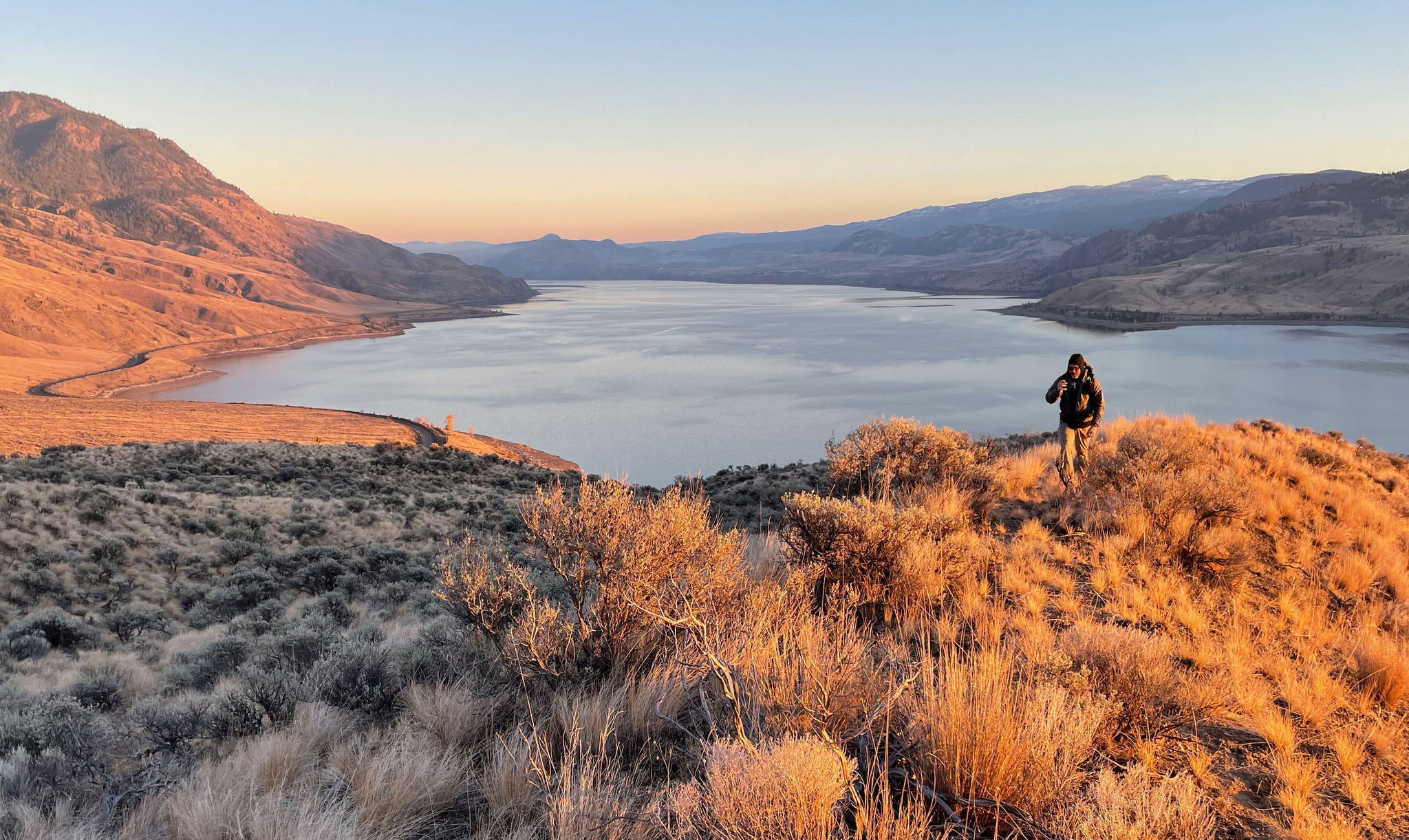
Forests, desert, wilderness - day tours in British Columbia

Breathtaking British Columbia — hikes near Squamish & Whistler

MTB Road Trip Sea-to-Sky – dream trails in British Columbia
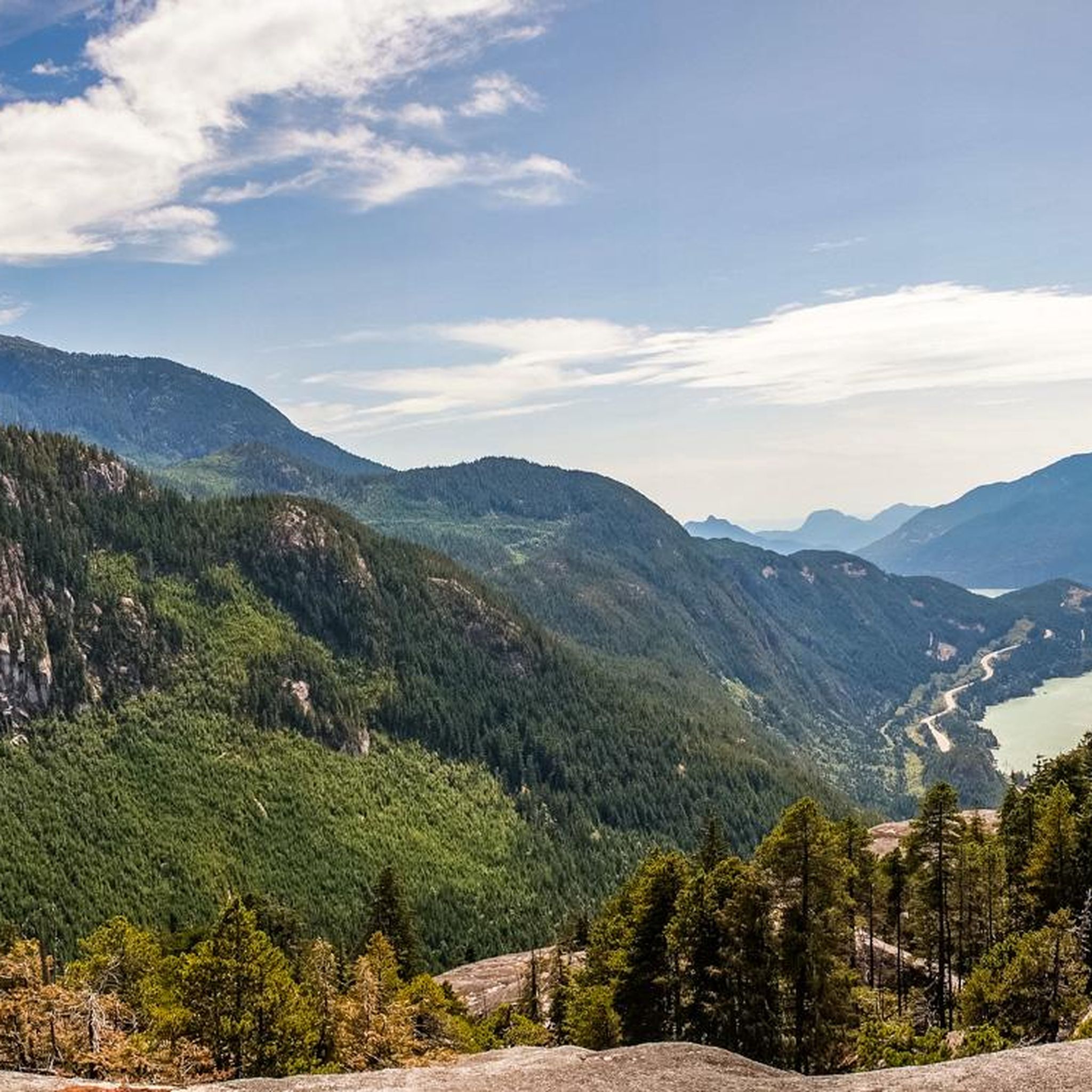
Hiking around Area D (Elaho/Garibaldi)
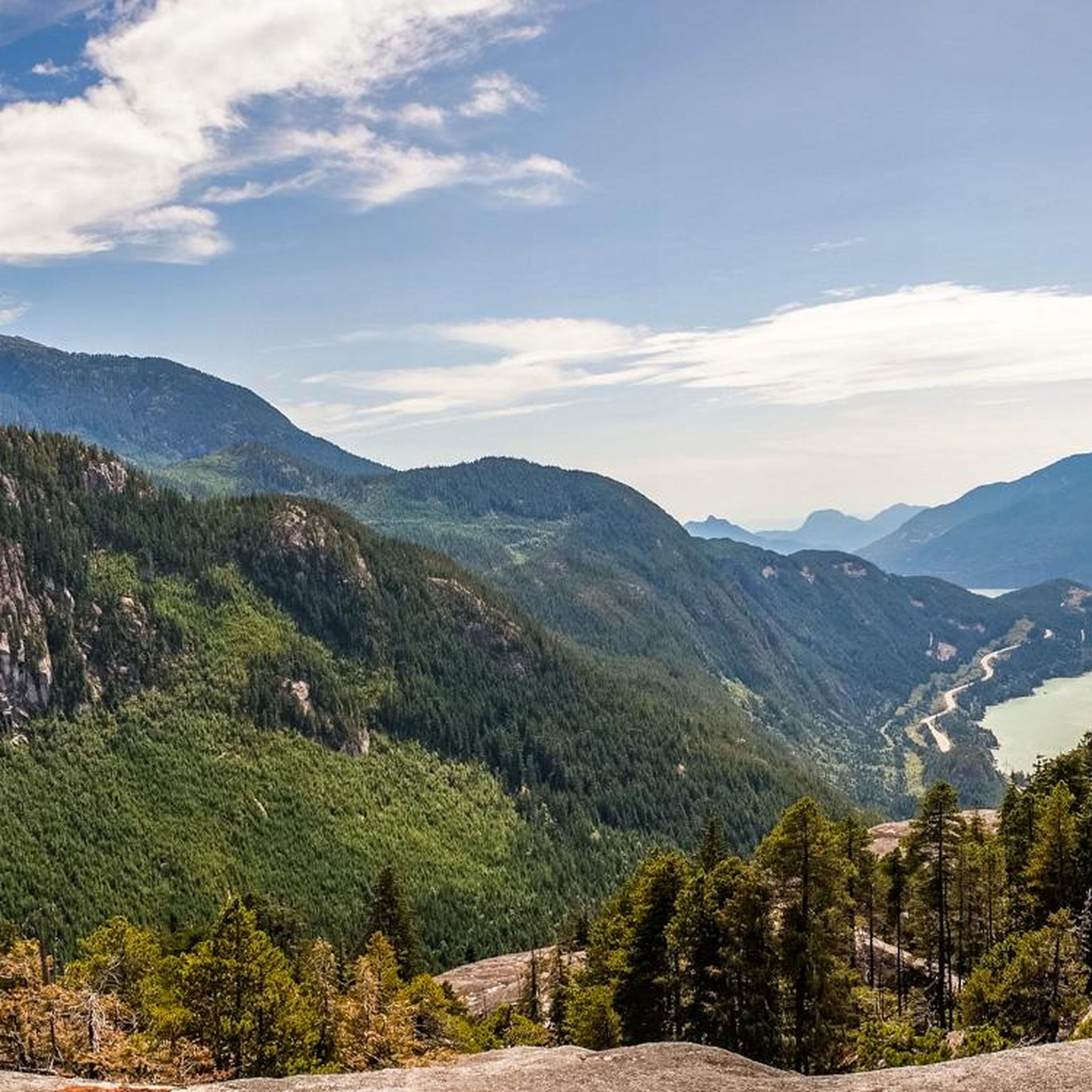
MTB Trails around Area D (Elaho/Garibaldi)
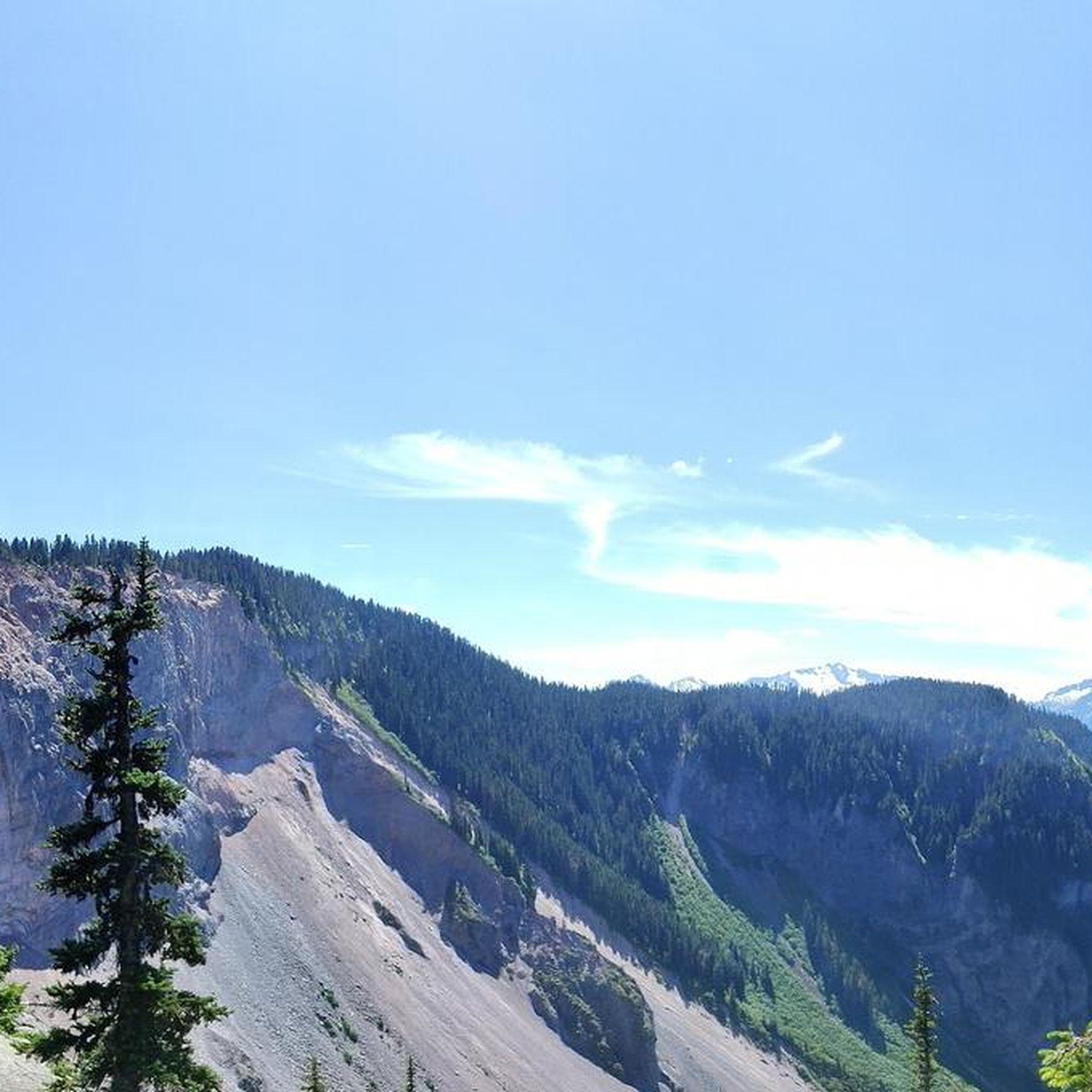
Cycling around Area D (Elaho/Garibaldi)
Running Trails around Area D (Elaho/Garibaldi)
Road Cycling Routes around Area D (Elaho/Garibaldi)

Gravel biking around Area D (Elaho/Garibaldi)
Other adventures around Area D (Elaho/Garibaldi)


Tips from the Community

This small, beautiful waterfall is accessed via a short, but steep hike on the Chief Peaks Trail. You can use this as a rest point for a longer hike into the mountains or as your destination and turn around point for a shorter, out and back hike.
0
0

The direct route from the parking lot to Garibaldi Lake is easily doable even in early May, as the snow on the trails is already packed. Before that, we hiked up to Panaroma Ridge, which is almost impossible without snowshoes or something similar at this time of year (1.80 meters of snow), but at least you're completely alone there.
0
0

Going for a swim in the water is really recommended and nice after the strenuous climb
2
0

'Garibaldi Lake' is part of the Garibaldi Lake system, formed by lava flows during the last Ice Age. The lake is at an altitude of around 1,400 m and has an area of almost 10 km2. Outflow from 'Garibaldi Lake' occurs only by seepage into cracks in the lava dam ('The Barrier'), with 'Rubble Creek' rising from springs at the base of 'The Barrier'. During spring snowmelt, runoff occurs in a surface water body. The drainage occurs through the 'Lesser Garibaldi Lake' and the 'Barrier Lake' over a length of approx. 1.6 km. https://besthikesbc.ca/hiking-garibaldi-lake-in-whistler/
4
0

Confident scramblers can use the T3 path (and ladders) between Top 1 and Top 2 of the Chief. Exhilarating!
2
0

Blazing views and challenging way to go up: chains, ladders, a bit of – very fun!
1
0


Avoid rainy days, big slippery slabs at the top. Sumptuous view.
4
0
Frequently Asked Questions
What kind of terrain can I expect on mountaineering routes in Area D (Elaho/Garibaldi)?
Mountaineering routes in Area D, encompassing the Elaho Valley and Garibaldi Provincial Park, traverse a rugged landscape characterized by majestic mountains, ancient volcanic formations, extensive glaciers, and pristine alpine lakes. You'll encounter snow-capped peaks, distinctive pinnacles like Stawamus Chief, and deep valleys carved by rivers. The region is part of a dormant volcanic belt within the Coast Mountains, offering a challenging and diverse environment.
Are there any multi-day mountaineering options in Area D (Elaho/Garibaldi)?
Yes, the vast backcountry of Garibaldi Provincial Park, covering 1,950 square kilometers, offers opportunities for multi-day expeditions. While specific multi-day loops aren't detailed in the provided routes, the extensive glacial features and alpine lakes, such as those found around The Barrier loop, lend themselves to longer, self-supported trips for experienced mountaineers.
What are the typical difficulties of mountaineering routes in this area?
The mountaineering routes in Area D (Elaho/Garibaldi) are generally considered difficult. For example, The Barrier loop from Rubble Creek is a 17.7-mile trail with significant elevation gain, and the Stawamus Chief loop involves challenging climbs to prominent volcanic pinnacles. These routes often require appropriate skills for steep snow, broken glaciers, and rock scrambling.
What is the best time of year for mountaineering in Area D (Elaho/Garibaldi)?
The best time for mountaineering typically depends on the specific route and conditions. Summer offers more accessible conditions for many alpine routes, while winter provides opportunities for ski mountaineering and snowshoeing, especially in areas like Elfin Lakes. Always check current weather and snowpack conditions before heading out.
Are there any notable landmarks or natural features to see along the routes?
Absolutely. The region is rich with natural landmarks. You can encounter the vibrant turquoise waters of Garibaldi Lake, which is fed by glacial deposits, or the distinctive volcanic pinnacle of The Black Tusk. The Elaho Valley also features an 80-meter-deep canyon carved by the Elaho River and extensive old-growth forests.
What should I know about permits and access for mountaineering in Garibaldi Provincial Park?
Garibaldi Provincial Park is a protected area, and specific regulations apply. While general hiking permits might not always be required for day use, overnight stays in the backcountry often necessitate permits and reservations, especially during peak seasons. It's crucial to check the official BC Parks website for the most up-to-date information on permits, fees, and any access restrictions before planning your trip.
Where can I find trailhead access and parking for mountaineering routes?
Trailhead access points vary by route. For instance, The Barrier loop starts from Rubble Creek, and the Stawamus Chief loop begins from Shannon Falls Provincial Park. Parking is typically available at designated trailheads, but spaces can fill up quickly, especially on weekends. Always plan to arrive early or consider alternative transportation if available.
What kind of wildlife might I encounter in the Elaho Valley?
The Elaho Valley is known for its remote wilderness and extensive old-growth forests, which provide habitat for various wildlife. You might spot animals such as moose, mountain goats, and grizzly bears. It's essential to be bear-aware, carry bear spray, and know how to react to wildlife encounters to ensure both your safety and theirs.
What do other mountaineers say about their experience in Area D (Elaho/Garibaldi)?
The mountaineering routes in Area D (Elaho/Garibaldi) are highly rated by the komoot community, with an average score of 4.5 stars from over 3 reviews. Mountaineers often praise the challenging terrain, the breathtaking glacial features, and the pristine alpine lakes that define the region.
Are there any less challenging routes for experienced mountaineers looking for an introduction to the area?
While all listed routes are rated as difficult, the Lesser Garibaldi Lake – Barrier Lake loop from Skookumchuck, at 12.3 miles, offers a journey through volcanic landscapes and past glacial-fed lakes. It's a significant undertaking but can serve as an entry point for experienced individuals to explore the unique environment of Garibaldi Provincial Park before tackling more technical objectives like Mount Garibaldi itself.
What are the winter mountaineering conditions like in Garibaldi Provincial Park?
Winter mountaineering in Garibaldi Provincial Park offers a different set of challenges and rewards. Areas like Elfin Lakes are popular for ski mountaineering, snowshoeing, and backcountry skiing. However, winter conditions bring increased avalanche risk, colder temperatures, and shorter daylight hours. Proper avalanche training, equipment, and up-to-date weather and snowpack forecasts are crucial for safe winter travel.
Most popular routes around Area D (Elaho/Garibaldi)
Most popular attractions around Area D (Elaho/Garibaldi)

Get inspired with the komoot mobile app


Explore more
Browse the best Mountain Hikes & Routes in other regions.
