The 11 Most Amazing Peaks around La Hoya de Buñol
Best mountain peaks around La Hoya de Buñol offer a diverse landscape of rugged terrain and natural features. This region, characterized by its mountainous ranges like Sierra de Chiva, Sierra de Malacara, and Sierra Martés, provides numerous opportunities for exploration. Peaks in La Hoya de Buñol feature limestone formations, reforested pine forests, and significant ecological value, including flora micro-reserves and habitats for various bird species. The area is ideal for those seeking challenging hikes and expansive views across the Valencian…
Last updated: July 10, 2026
Pico de los Cerros
Highlight • Viewpoint
Translated by Google •
Tip by

Monte Gordo Summit
Highlight • Summit
Translated by Google •
Tip by

Sign up now to discover places like this
Get recommendations on the best single tracks, peaks, & plenty of other exciting outdoor places.
Sign up for free
Besorí Peak Fire Lookout Tower
Highlight • Viewpoint
Translated by Google •
Tip by
Calicanto Antennas – View of Valencia
Highlight • Viewpoint
Translated by Google •
Tip by
El Parapetos
Highlight • Summit
Translated by Google •
Tip by
Pico del Ñoño (Sierra Martés)
Highlight • Summit
Translated by Google •
Tip by
Puntal de las Palomas
Highlight • Summit
Translated by Google •
Tip by

Alto del Cinto de la Cabra
Highlight • Viewpoint
Translated by Google •
Tip by
Pico del Ave 360° views (952m)
Highlight • Summit
Translated by Google •
Tip by

Ascent to Puntal de las Palomas
Highlight • Summit
Tip by
Sign up for free to discover even more peaks around La Hoya de Buñol.
Sign up for free
Already have an account?
Start today with a free account
Your next adventure awaits.
Login or Signup
Popular around La Hoya de Buñol
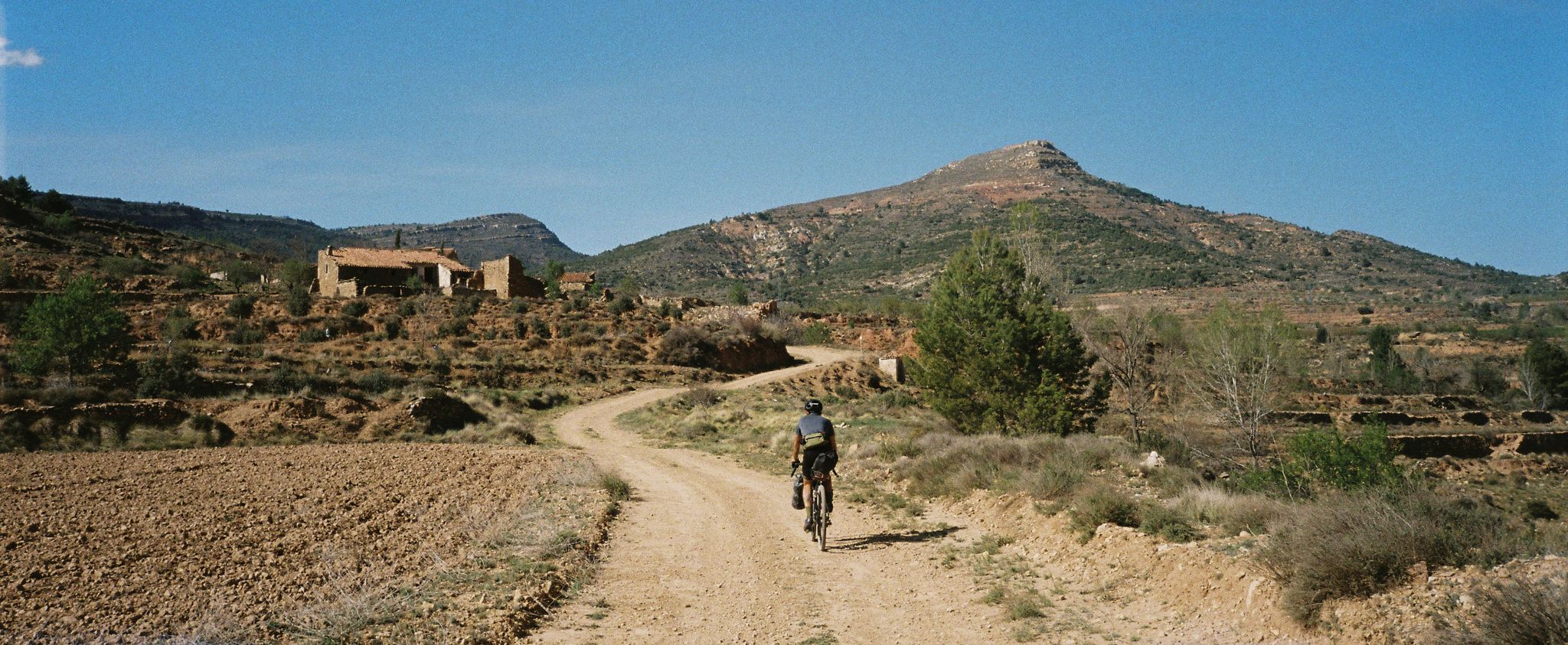
Path of the Tasters - Bikepacking in the Valencian ranges
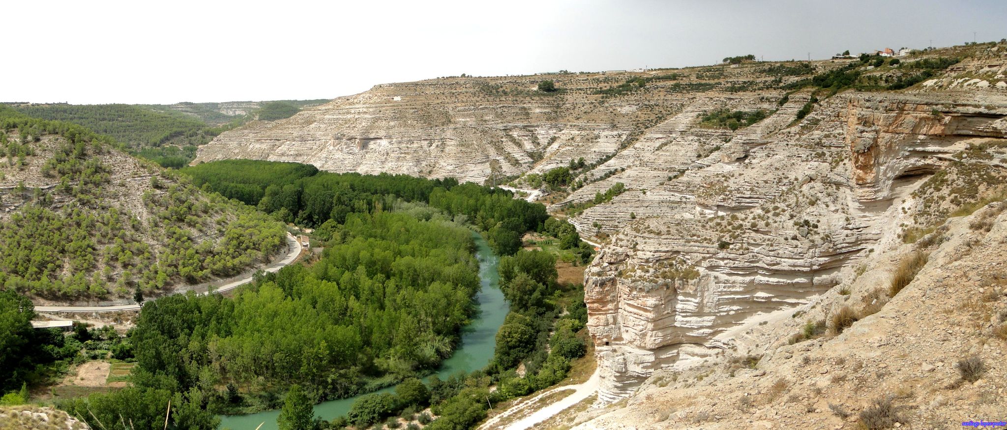
Explore Spain’s Júcar River by bike
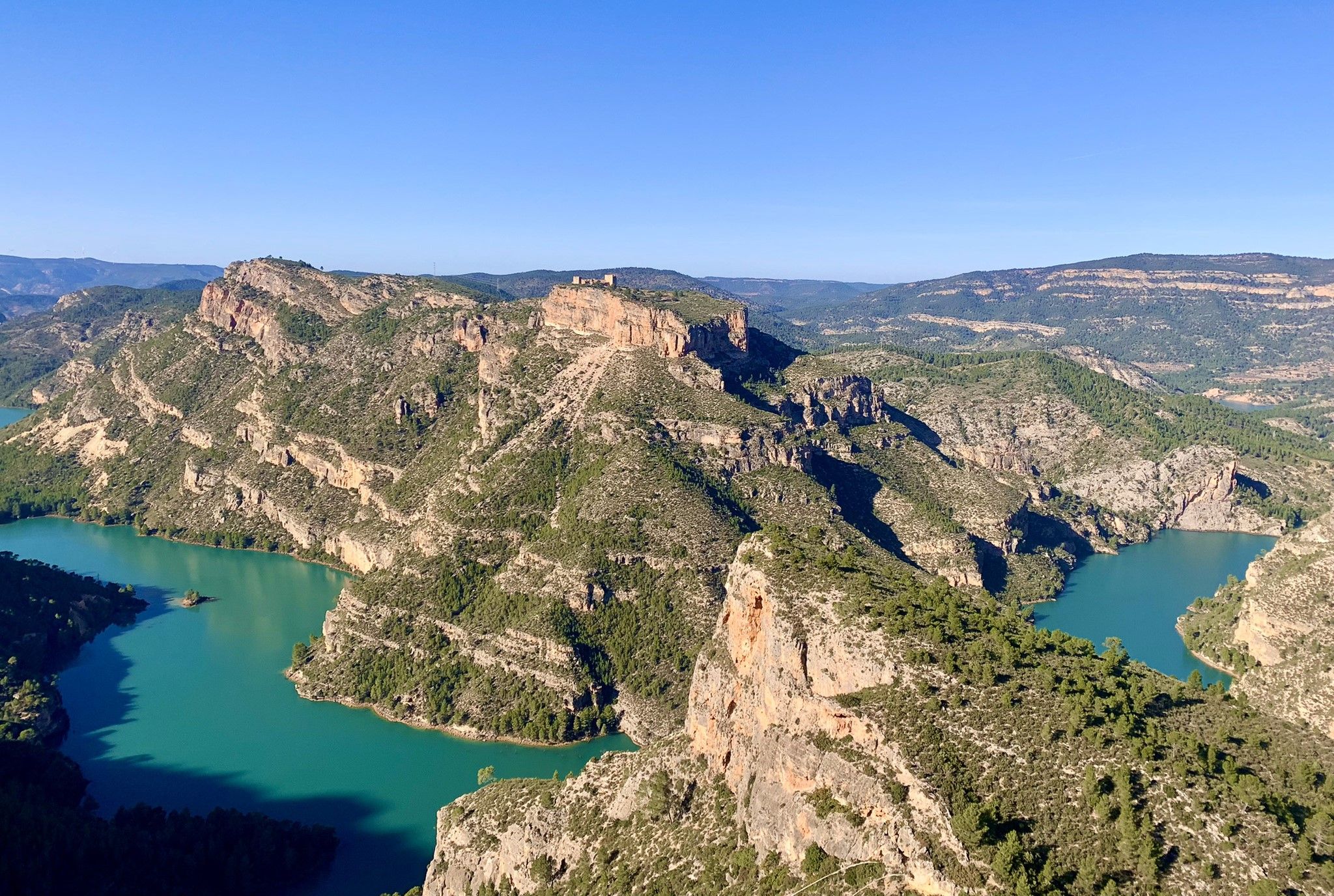
A journey full of discoveries – the Valencia region on foot (GR7)
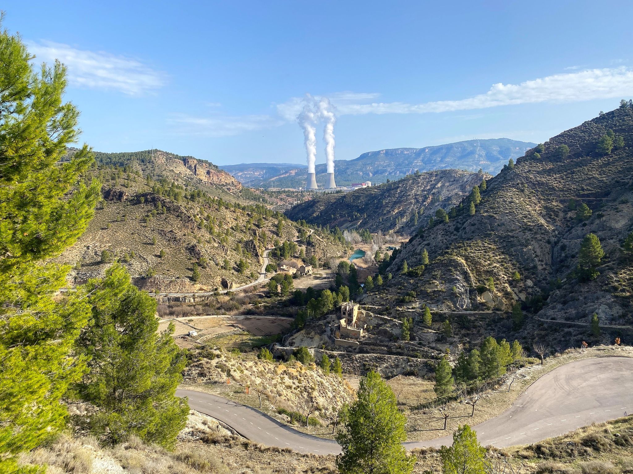
Where water shapes the landscape – Cofrentes and Cortes de Pallás
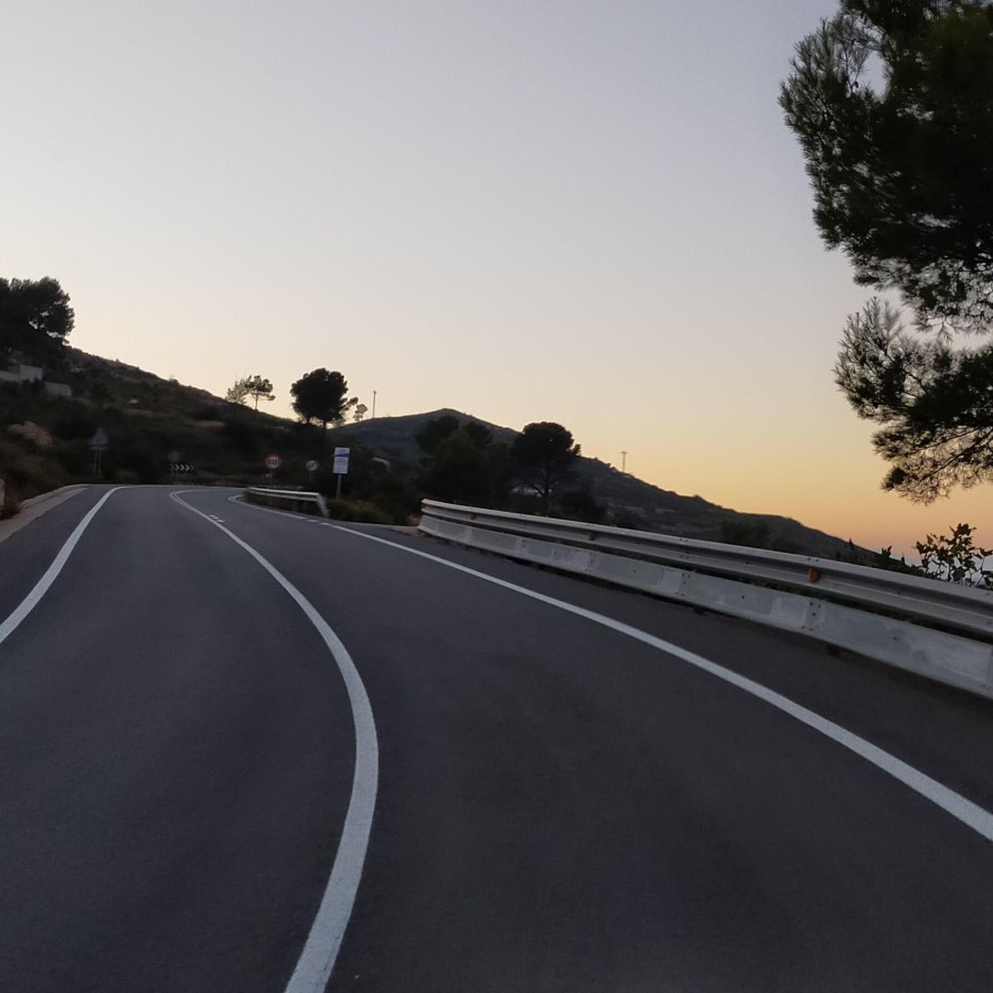
Road Cycling Routes around La Hoya de Buñol
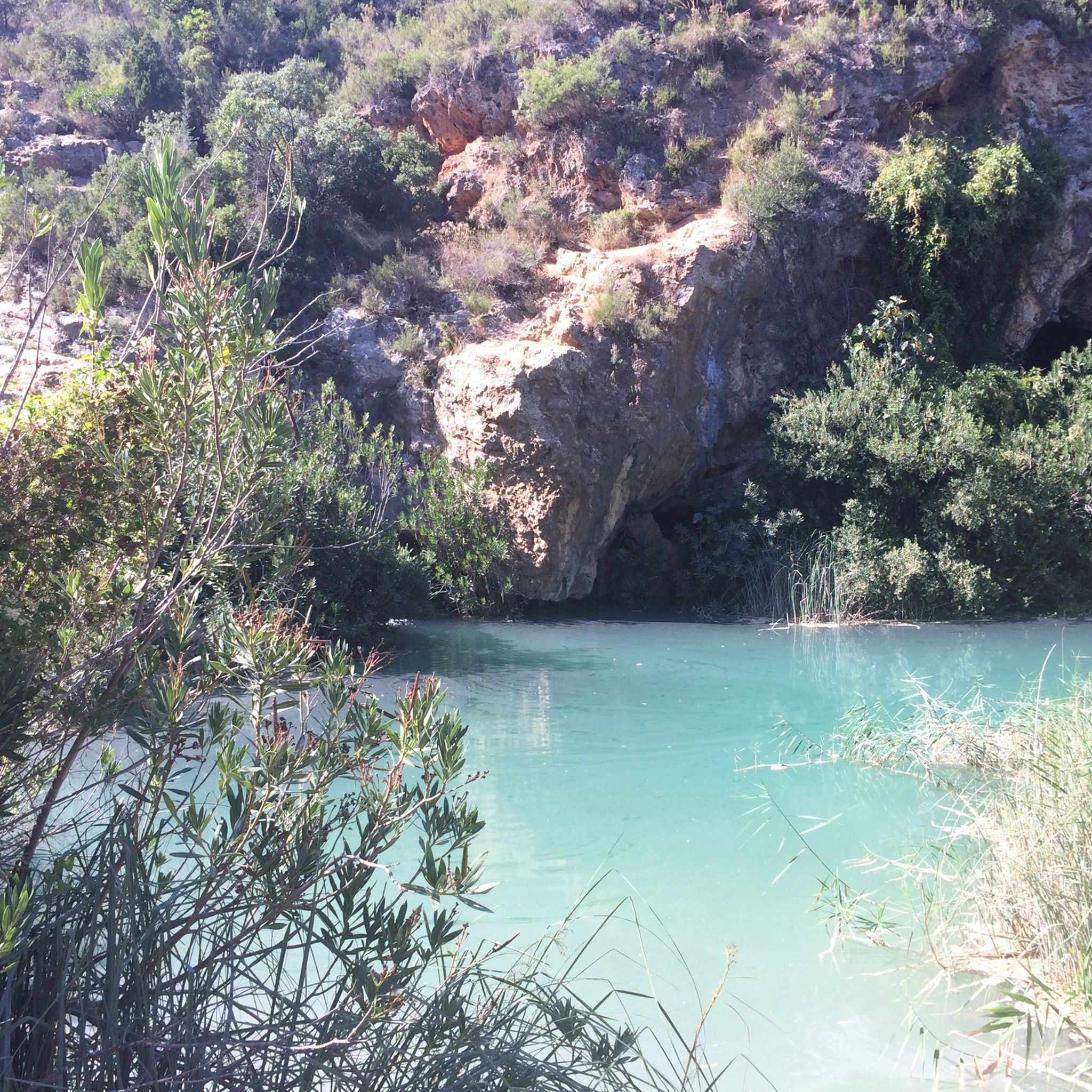
Hiking around La Hoya de Buñol
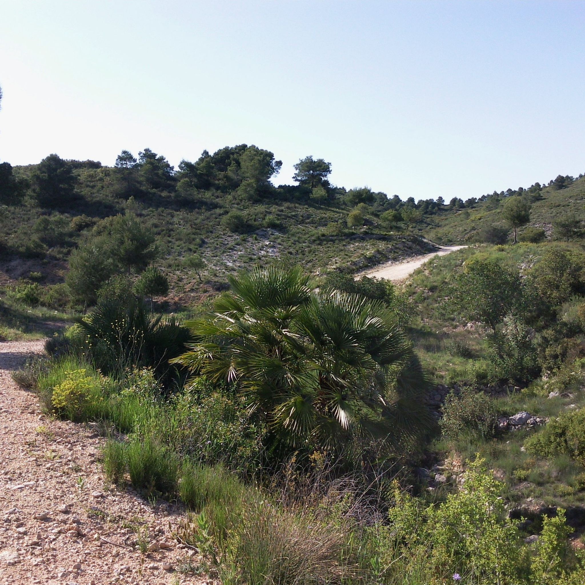
MTB Trails around La Hoya de Buñol
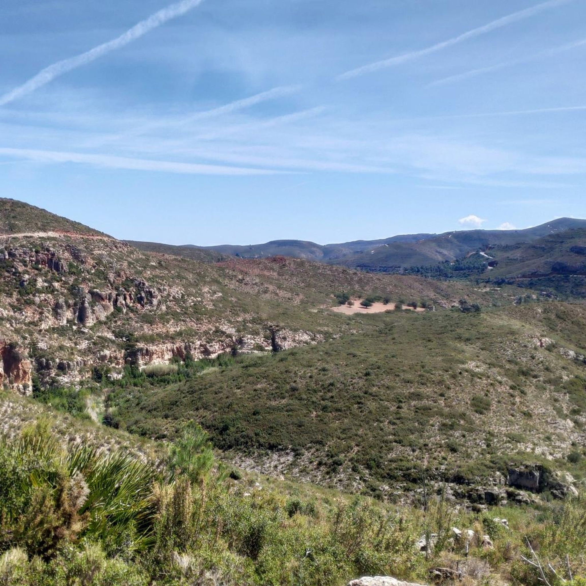
Running Trails around La Hoya de Buñol
Cycling around La Hoya de Buñol

Gravel biking around La Hoya de Buñol
Other adventures around La Hoya de Buñol


Tips from the Community

A highly recommended place to visit if you visit the Utiel Requena area and the Sierra del Martés. The climb is very pretty and offers good views.
0
0
Spectacular views, although the climb from Cortes de Pallas along the Muela ridge is very tough.
0
0

Magnificent 360 degree views. A must-see hike from Dos Aguas. The sign there indicates to do it counterclockwise, I did it the other way and I really enjoyed the steep climb but the gentler descent via the small road reserved for Bomberos (there is a watchtower)
0
0

Impressive views from this geodetic point of the natural landscape of El Tello. If you've come this far you won't be disappointed.
0
0
The landscape value of Els Cerros is especially notable in the area of the municipality of Llombay, given that it constitutes a wooded space located in a crop area and surrounded by the Magro River. Among its notable natural values is the Cueva de las Maravillas, which is one of the ten most important caves in the Valencian Community.
0
0

Amazing 360° views Actually this is not Yerbas peak but Monte Gordo ;)
0
0

Easy to drive, the approach was on asphalt, no possibility. Great views even from the bike.
1
0

I went up from the Buñol windmills there are about 22 kilometers approx. (uphill) take it easy and enjoy the views as you go because they are spectacular. A hydration backpack will be ideal. In my case, I used a 3 L Camel back. and it was enough, I had a pint or so left over. I recommend it because almost everything is a very rolling track.
0
0
Frequently Asked Questions
What are some of the most prominent mountain peaks in La Hoya de Buñol?
La Hoya de Buñol features several notable peaks. Besorí Peak Fire Lookout Tower offers beautiful views from its 360-meter elevation. Another significant point is Calicanto Antennas – View of Valencia, providing expansive views of Valencia and the coast. For a more challenging ascent, Pico de Santa María is the highest point in the region, offering rewarding 360-degree panoramas.
Are there any family-friendly mountain trails in La Hoya de Buñol?
Yes, for families looking for an accessible mountain experience, the Ascent to Puntal de las Palomas is a good option. This trail is categorized as family-friendly and offers views from the summit.
Which peaks offer the best panoramic views of the region?
Many peaks in La Hoya de Buñol are known for their views. Pico de Santa María provides extensive 360-degree panoramas, including distant glimpses of Penyagolosa and the Espadà and Calderona mountain ranges. Calicanto Antennas – View of Valencia offers wonderful views of the city of Valencia, the Levante coast, and the Hoya de Buñol. Additionally, Monte Gordo Summit provides a panoramic view of the Gulf of Valencia and the Albufera.
What kind of wildlife can be observed in the mountain areas of La Hoya de Buñol?
The Sierra de Malacara, where Pico de la Nevera is located, is a significant habitat for various birds of prey. Visitors might spot species such as the golden eagle, short-toed snake eagle, Bonelli's eagle, and peregrine falcon, making it an excellent area for wildlife observation.
What are the most challenging mountain peaks for experienced hikers?
Pico de Santa María is considered a demanding ascent, characterized by continuous climbs, but it rewards hikers with unique panoramic views. The trails around Pico de la Nevera in the Sierra de Malacara also offer challenging topography suitable for experienced hikers.
Are there opportunities for other outdoor sports besides hiking near these peaks?
Yes, the rugged terrain of the Sierra de Malacara, near Pico de la Nevera, provides opportunities for mountain sports like climbing, canyoning, and caving. For those interested in running, cycling, or gravel biking, you can find various routes in the region. For running trails, explore options like the 'Besori Viewpoint – Besori loop' from Cova-Vivenda via the Running Trails around La Hoya de Buñol guide. For gravel biking, consider the 'Gravel ride to Caroche peak and the Júcar river' found in the Gravel biking around La Hoya de Buñol guide.
What natural features characterize the Sierra Martés mountain range?
The Sierra Martés is known for its limestone formations and a distinctive series of parallel ravines. It is also recognized as a protected area (LIC) and hosts micro-reserves of flora, highlighting its ecological importance. Hiking trails here lead through picturesque areas like the Cañón del Río Magro and to the El Pulpitillo viewpoint.
What can I expect to see on the ascent to Pico de Santa María?
The path to Pico de Santa María traverses areas recovering from past forest fires, with the landscape dotted by resilient vegetation such as rosemary, gorse, and kermes oak. The summit itself features a geodesic vertex and offers impressive mountain views, including distant ranges like Penyagolosa, La Salada, Espadà, and Calderona.
Are there any specific hiking routes recommended for exploring Pico de la Nevera?
Yes, a marked hiking route, PR-CV 190, passes through Pico de la Nevera, guiding adventurers through the scenic landscapes of the Sierra de Malacara. This area is also close to natural attractions like Barranco de Carcalín, the Buñol river gorge, and Cueva del Turche.
What do visitors particularly enjoy about the mountain peaks in La Hoya de Buñol?
Visitors frequently highlight the extensive and impressive views from the summits, often describing them as worthy of postcards. The challenging yet rewarding nature of the ascents, combined with the diverse natural landscapes, including wooded areas and unique geological formations, are also highly appreciated.
Which peak offers views of the Magro River?
Pico de los Cerros provides wide panoramas of the surrounding landscape, including a wooded space near the Magro River. The landscape value of Els Cerros is particularly notable in the municipality of Llombay, where it constitutes a significant wooded area surrounded by the river.
Are there any peaks that are also significant viewpoints?
Many peaks in the region double as excellent viewpoints. For instance, Alto del Cinto de la Cabra and Pico del Ave 360° views (952m) are both summits that offer expansive vistas of the surrounding area.
Most popular routes around La Hoya de Buñol
Most popular attractions around La Hoya de Buñol

Get inspired with the komoot mobile app


Didn’t find what you were looking for?
Discover La Hoya de Buñol’s best peaks and summits by region:
Explore more
See even more amazing summits around La Hoya de Buñol with these guides:
