The best running trails around La Hoya de Buñol
4.6
(8)
1,189
runners
101
runs
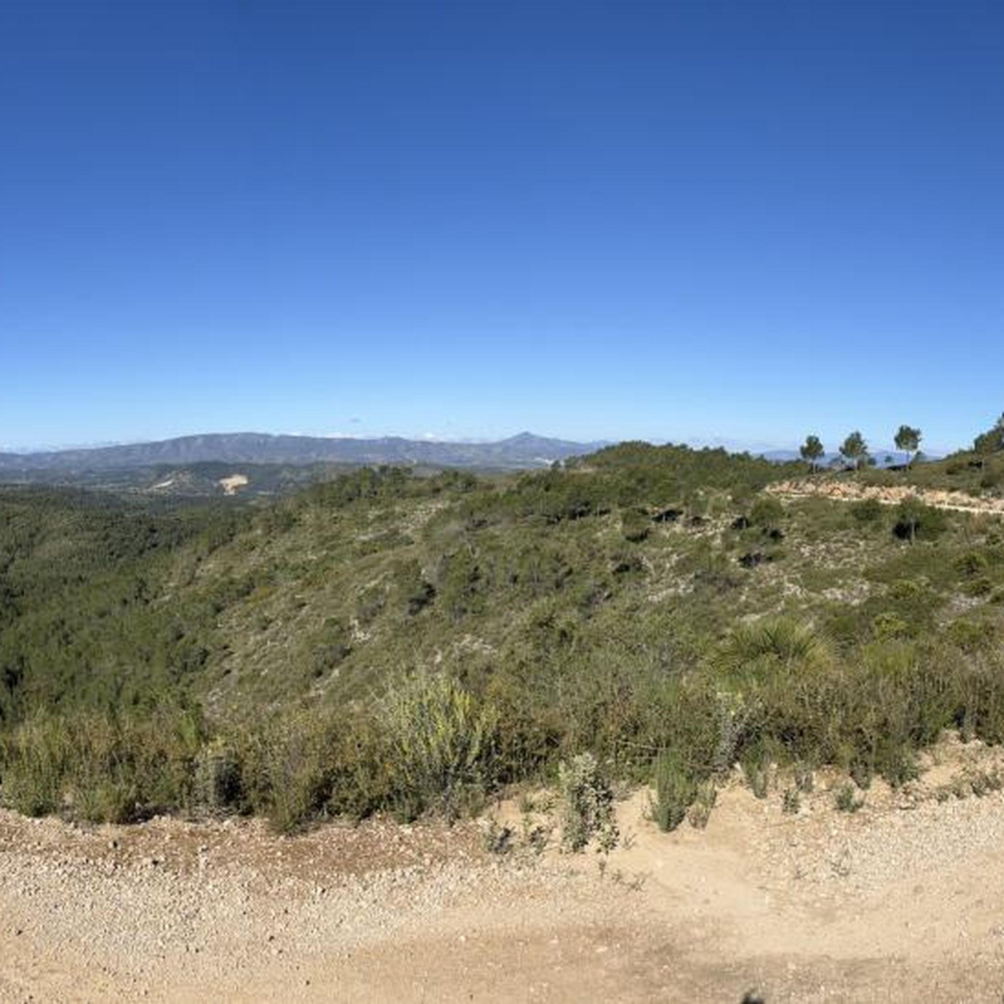
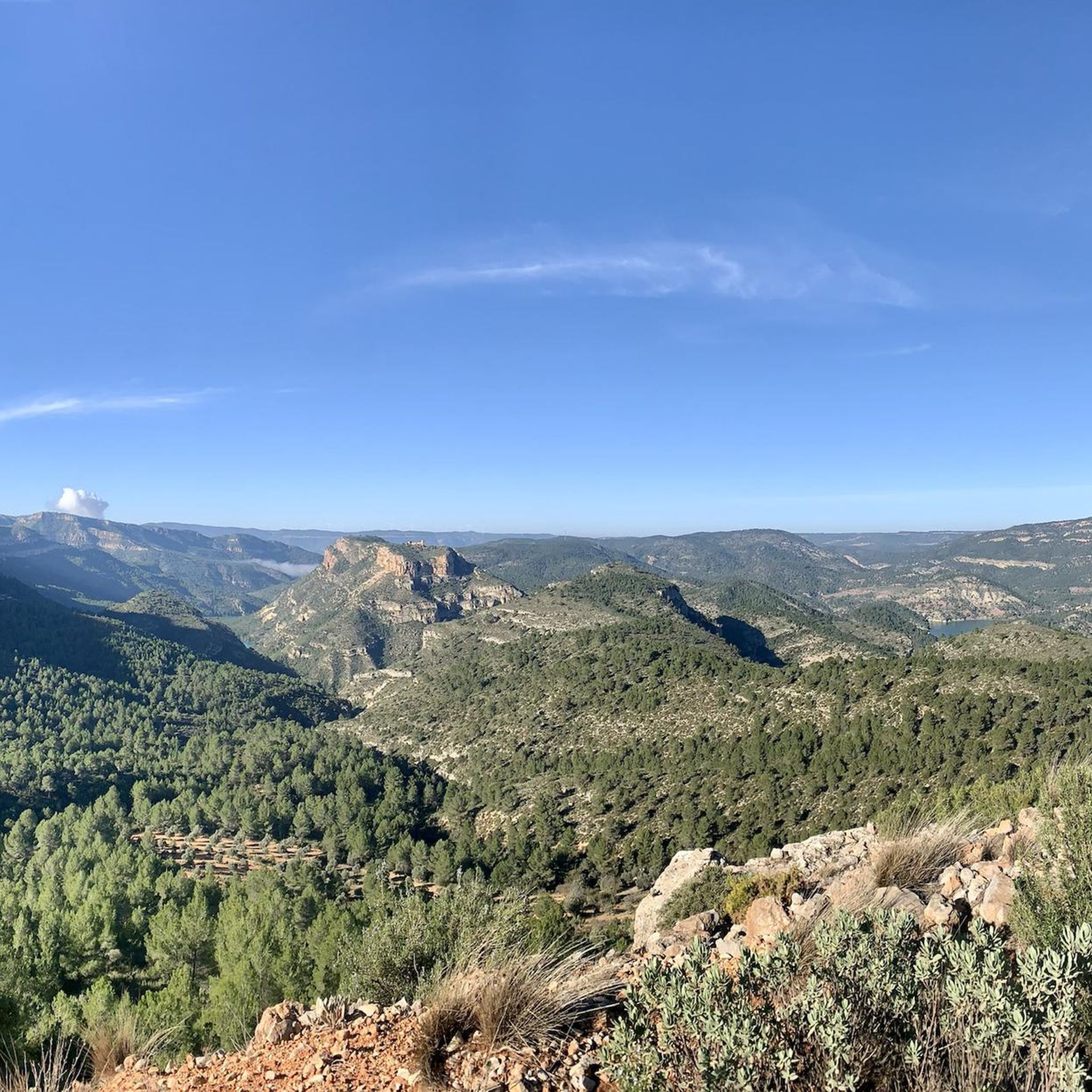
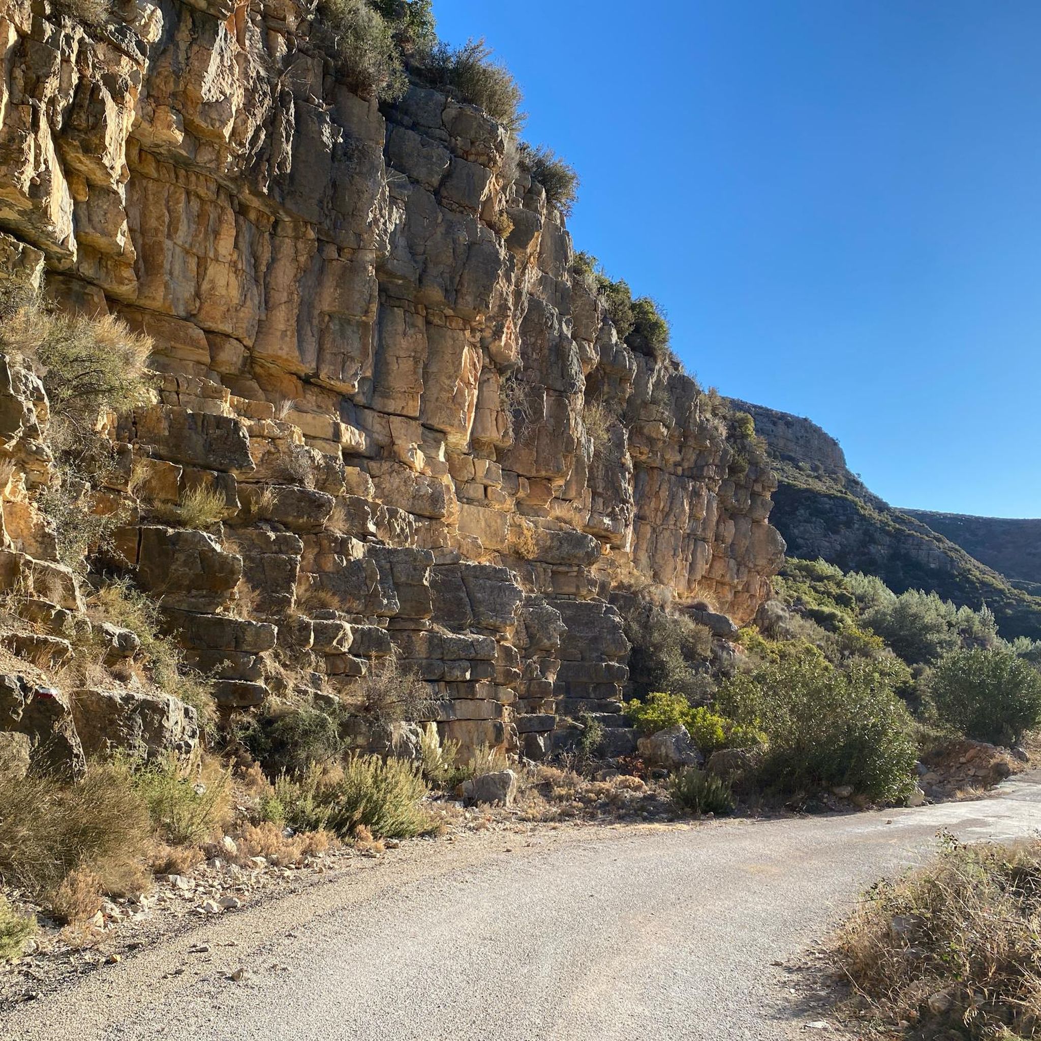
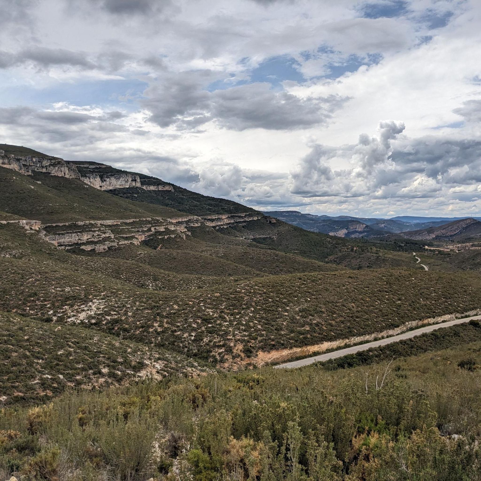
Jogging around La Hoya de Buñol offers diverse natural landscapes, characterized by mountains, ravines, and riverbanks. The region features varied terrain, including agricultural lands with grapes, almonds, and olives, providing a picturesque backdrop for running. Numerous trails wind through these areas, offering options for different fitness levels. The natural beauty is enhanced by features such as the Barranco de Carcalín ravine and the river Juanes.
Best jogging routes around La Hoya de Buñol
- The most popular jogging route is Paraje…
Last updated: June 29, 2026
12
runners
5.88km
00:45
140m
140m
Hard run. Good fitness required. Sure-footedness, sturdy shoes and alpine experience required.
5.0
(1)
147
runners
9.77km
01:16
320m
320m
Hard run. Very good fitness required. Mostly paved surfaces. Suitable for all skill levels.

Sign up for free
72
runners
18.4km
02:43
720m
720m
Hard run. Very good fitness required. Sure-footedness, sturdy shoes and alpine experience required.
54
runners
17.3km
02:29
620m
620m
Hard run. Very good fitness required. Sure-footedness, sturdy shoes and alpine experience required.
45
runners
Hard run. Very good fitness required. Sure-footedness, sturdy shoes and alpine experience required.
39
runners
12.3km
01:36
350m
350m
Hard run. Very good fitness required. Sure-footedness, sturdy shoes and alpine experience required.
43
runners
18.5km
02:08
380m
380m
Hard run. Very good fitness required. Mostly paved surfaces. Suitable for all skill levels.
35
runners
6.78km
00:43
60m
60m
Moderate run. Good fitness required. Mostly paved surfaces. Suitable for all skill levels.
4.0
(1)
32
runners
8.83km
01:11
240m
240m
Hard run. Good fitness required. Sure-footedness, sturdy shoes and alpine experience required.
29
runners
10.1km
01:37
420m
420m
Hard run. Very good fitness required. Sure-footedness, sturdy shoes and alpine experience required.
Get access to more routes and recommendations from other explorers.
Sign up for free
Already have an account?
Our route recommendations are based on thousands of hikes, rides, and runs completed by other people on komoot.
Start today with a free account
Your next adventure awaits.
Login or Signup
Popular around La Hoya de Buñol
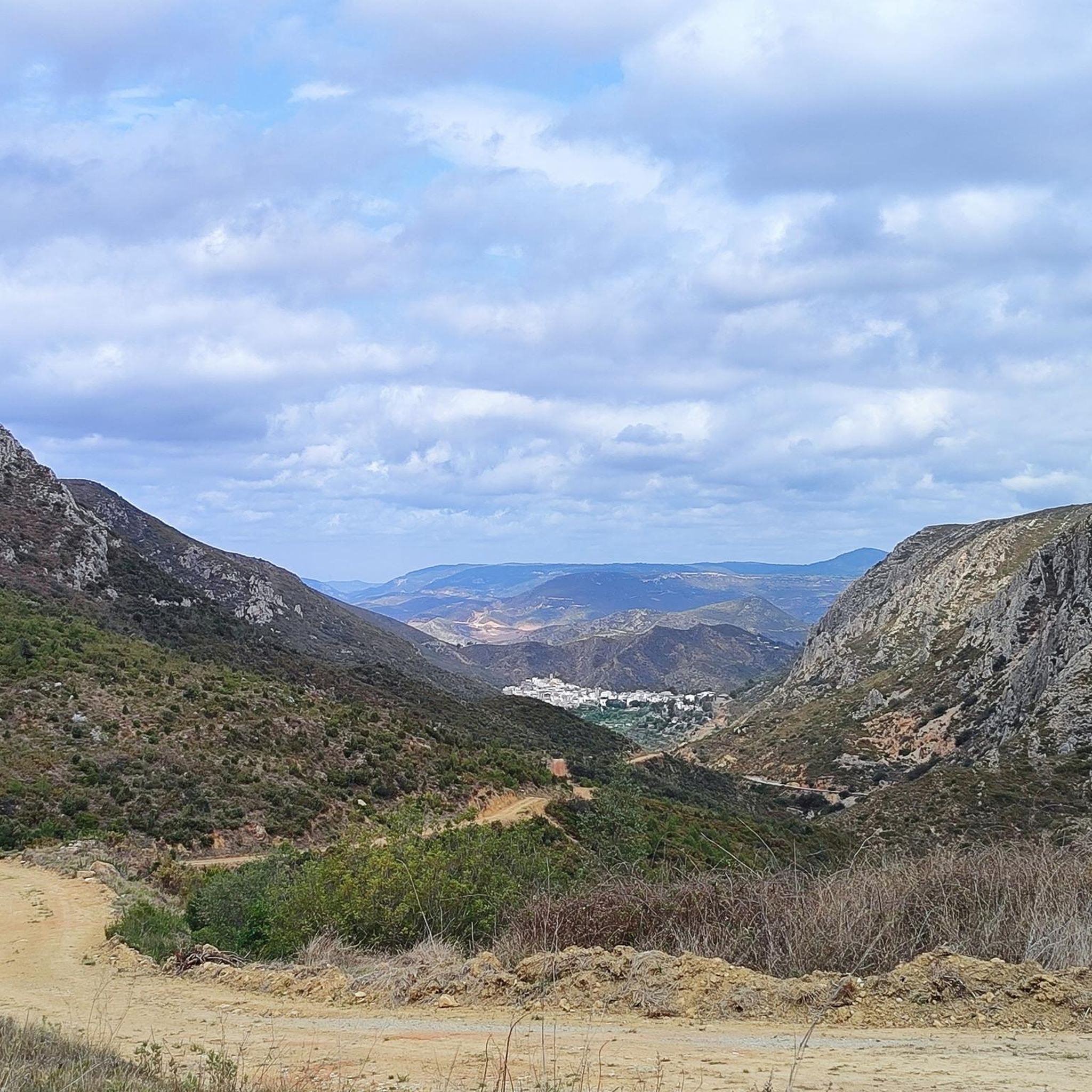
Running Trails around Dos Aguas
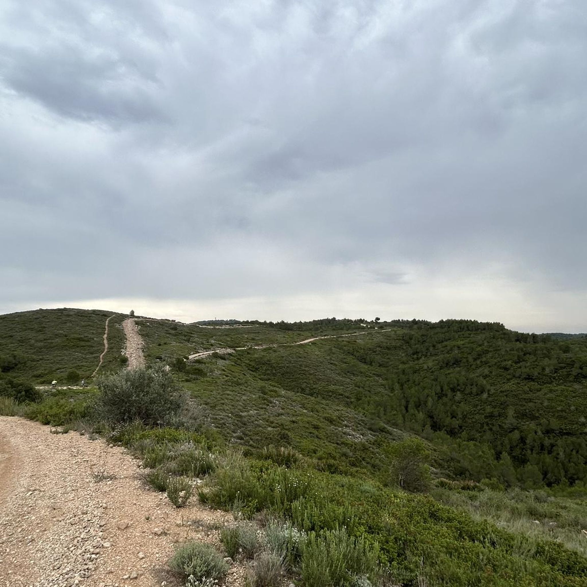
Running Trails around Alfarp
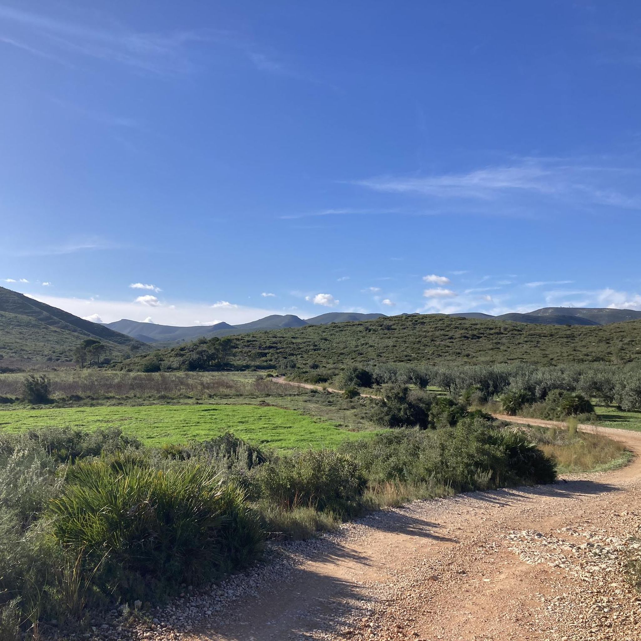
Running Trails around Catadau
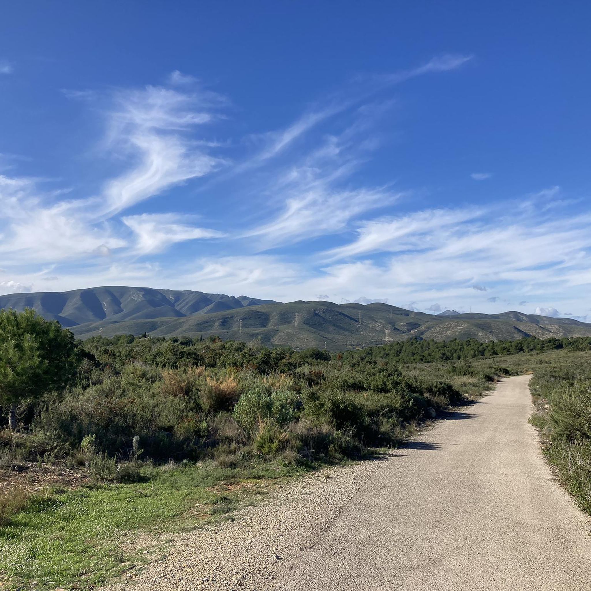
Running Trails around Llombai
Running Trails in Paratge Natural Municipal El Tello
Running Trails around Cortes De Pallás
Running Trails around Chiva
Running Trails around Embalse de El Naranjero
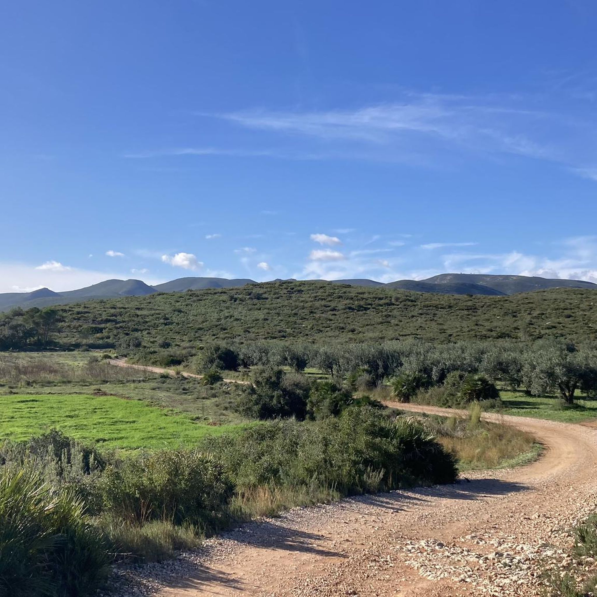
Running Trails in Paraje Natural Municipal Matamón
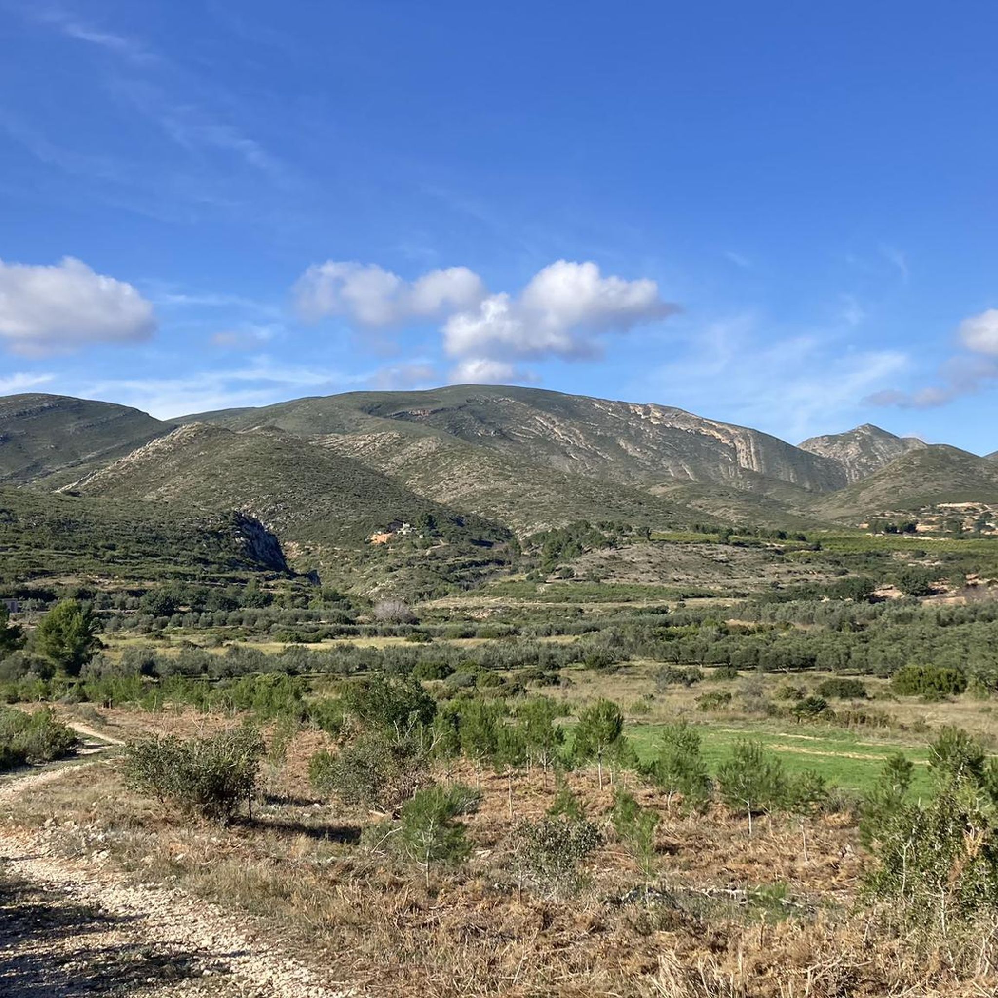
Running Trails in Paraje Natural Municipal La Colaita
Other adventures around La Hoya de Buñol


Tips from the Community

The trail literally begins here. There's a picnic area tucked into a cave to the left of the waterfall. It's worth a visit. When I went, there was a lot of water falling.
1
0
It's not much, but it's worth a visit, as it's very close to the route.
0
0

Alto del Besori is a mountain located in the Ribera Alta region of the Valencian Community. It is part of the Paraje Natural Municipal del Tello and is known for its impressive panoramic views. The route to Alto del Besori is popular with hikers and offers a varied landscape that includes ravines and pine forests. The route is moderate in difficulty and is suitable for most hikers with some experience.
6
0
The Arroyo de Cortes is a beautiful circular route of about 6 kilometres. Located in Cortes de Pallas, the route passes through beautiful waterfalls, pools of emerald water and numerous bathing areas with crystal-clear water.
6
0

Early September 2024 - no water at all in the Rio, no waterfalls, no pools. Everything is dry.
1
1

The antennas of the Cumbre de Calicanto in the Serra Perenxisa offer wonderful views of the city of Valencia, the Levante coast and the Hoya de Buñol. There are several alternatives to get there, either by paved road or a gravel track with greater difficulty. Either way you will have a nice reward when you get up there!
4
0
A panoramic point from where you will undoubtedly have the best views of the entire Albufera Natural Park, Valencia and the Levante coast in the Cullera and Tavernes area. Tranquility also reigns so take a few minutes to enjoy this beautiful place.
3
0
Beautiful views from the top at about 360 meters above sea level. It is reached by taking the detour from the main track and going up a track in good condition with concreted sections. It deserves to visit it!
2
0
Frequently Asked Questions
How many running trails are available in La Hoya de Buñol?
La Hoya de Buñol offers a wide variety of running routes, with over 110 trails available for exploration. These routes cater to different fitness levels, ranging from easy jogs to more challenging trail runs.
What kind of terrain can I expect on the running trails in La Hoya de Buñol?
The region is characterized by diverse natural landscapes, including mountains, ravines, and riverbanks. You'll encounter varied terrain, from challenging mountainous paths with significant elevation gain to scenic routes through agricultural lands with grapes, almonds, and olives. The Barranco de Carcalín ravine and the river Juanes also contribute to the picturesque scenery.
Are there running routes suitable for beginners in La Hoya de Buñol?
Yes, while many routes are challenging, there are 7 easy running trails available in La Hoya de Buñol. For a leisurely jog, the Mill Trail (Sendero de los Molinos) in Alborache is described as a beautiful and easy route, ideal for a relaxed pace.
Can I find running routes that pass by waterfalls or rivers?
Absolutely! The region is known for its beautiful waterfalls and rivers. The famous Ruta del Agua trail features stunning spots like Turche Cave Waterfall and Cave of the Doves and Yátova Waterfall, offering refreshing views and opportunities to cool off. The Barranco de Carcalín also provides scenic riverside vegetation.
What historical sites or landmarks can I see while jogging in the area?
You can combine your run with cultural exploration. The Chirel Castle and the Tower of the Castle of Montroy are notable historical sites. Additionally, the **Castillo de Buñol**, an 11th to 12th-century medieval castle, offers views over the town and can be incorporated into a scenic route.
Are there any scenic running trails with panoramic viewpoints?
Yes, La Hoya de Buñol offers several routes with magnificent views. The Besori Viewpoint – Besori loop from Cova-Vivenda is a popular option leading through hills and viewpoints. You can also find the View of the Júcar River and Chirel Castle, and the Viewpoint of the tower of Montroi Castle.
Can I find circular jogging routes in La Hoya de Buñol?
Many of the running trails in the region are designed as loops, allowing you to start and finish at the same point. Examples include the Running loop from Paratge Natural Municipal Serra Perenxisa and the Vista alegre loop from Chiva, which offer varied distances and elevations.
What do other runners enjoy the most about jogging in La Hoya de Buñol?
The area is highly rated by the komoot community, with an average score of 4.4 stars from over 10 reviews. Runners often praise the diverse natural landscapes, the variety of terrain, and the scenic beauty, especially routes that feature viewpoints and natural parks.
Are there options for long-distance running in the region?
Yes, for those seeking longer distances, La Hoya de Buñol has several extensive routes. The Vista alegre loop from Chiva, for instance, spans over 32 km (20 miles), offering a significant challenge with considerable elevation gain.
Are the running trails in La Hoya de Buñol family-friendly?
While many routes are challenging, there are options suitable for families. The Mill Trail (Sendero de los Molinos) in Alborache is noted as an easy and beautiful route, perfect for a family walk or a leisurely jog. When planning, consider the difficulty grade and distance to ensure it matches your family's capabilities.
What is the best time of year for jogging in La Hoya de Buñol?
The region's climate makes it suitable for jogging for much of the year. Spring and autumn generally offer the most pleasant temperatures for outdoor activities. Summer can be warm, especially at midday, so early morning or late afternoon runs are recommended. Winter offers cooler, crisp conditions, ideal for more strenuous efforts.
Are there any specific natural parks or protected areas I can explore while running?
Yes, you can find running routes that take you through protected natural spaces. The Running loop from Paratge Natural Municipal Serra Perenxisa is an excellent example, allowing you to explore the natural park's varied elevation and natural scenery.
Are there any routes that offer views of agricultural landscapes?
Many routes in La Hoya de Buñol traverse areas with agricultural lands. You'll often find yourself jogging past picturesque fields growing grapes, almonds, olives, and carobs, providing a charming backdrop to your run. These areas offer a different kind of scenic beauty compared to the mountainous terrain.
Most popular routes around La Hoya de Buñol
Most popular attractions around La Hoya de Buñol

Get inspired with the komoot mobile app


Didn’t find what you were looking for?
Check out more Running Trails & Routes throughout La Hoya de Buñol below and find the perfect route in your destination.
Explore more
Browse the best Running Trails & Routes in other regions.
