The 6 Most Amazing Peaks around Os Ancares
Best mountain peaks around Os Ancares are part of the Serra dos Ancares, a mountain range within the Galician Massif in north-west Spain. This region is recognized for its ecological value, designated a UNESCO Biosphere Reserve. The area features prominent peaks, deeply carved valleys, and varied ecosystems. It also offers insights into traditional culture through villages with ancient stone dwellings.
Best mountain peaks around Os Ancares
- The most popular mountain peaks is The three passes of O Cebreiro, a…
Last updated: June 26, 2026
Cebreiro Pass
Highlight • Mountain Pass
Translated by Google •
Tip by

The three passes of O Cebreiro
Highlight (Segment) • Mountain Pass
Tip by

Sign up now to discover places like this
Get recommendations on the best single tracks, peaks, & plenty of other exciting outdoor places.
Sign up for free
Pico dos Tres Bispos
Highlight • Summit
Translated by Google •
Tip by

The three peaks of Cebreiro
Highlight (Segment) • Mountain Pass
In the …
Translated by Google •
Tip by
Pico Mostallar
Highlight • Summit
Translated by Google •
Tip by
Pedras Apañadas Summit
Highlight (Segment) • Summit
Translated by Google •
Tip by

Start today with a free account
Your next adventure awaits.
Login or Signup
Popular around Os Ancares
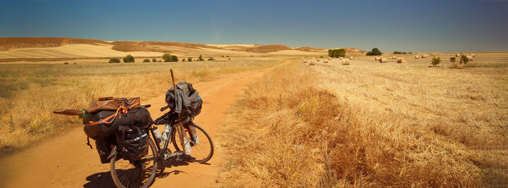
Camino Francés and Camino Finisterre – Cycling pilgrimages in Spain
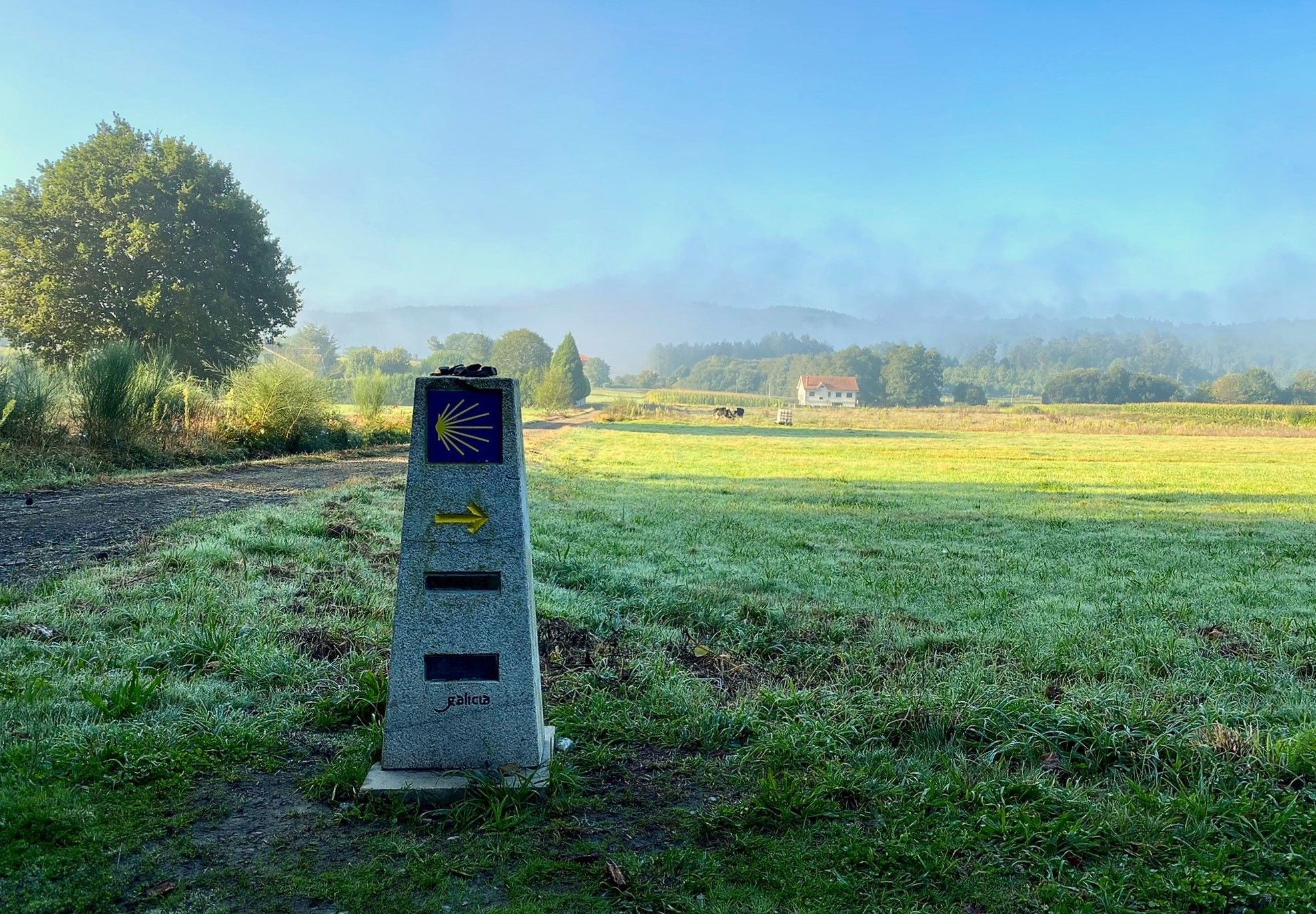
A pilgrimage on foot – Spain’s Primitive Way
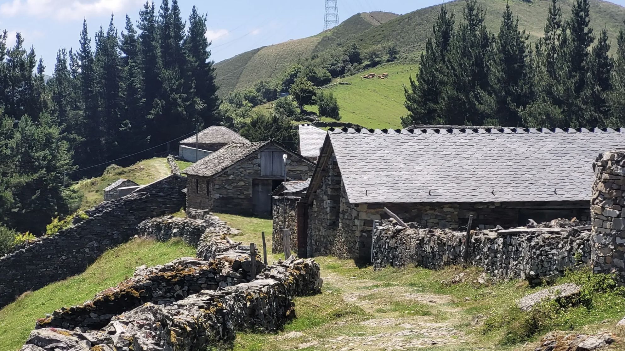
The Camino Primitivo — From Oviedo to Santiago through history
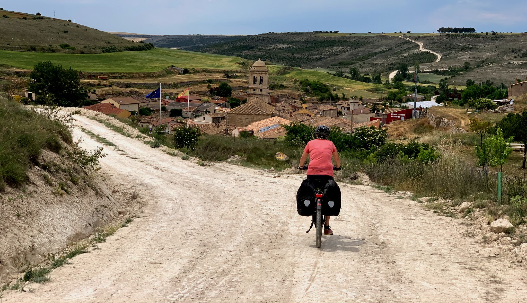
The Pilgrim Route — EuroVelo 3 through Spain
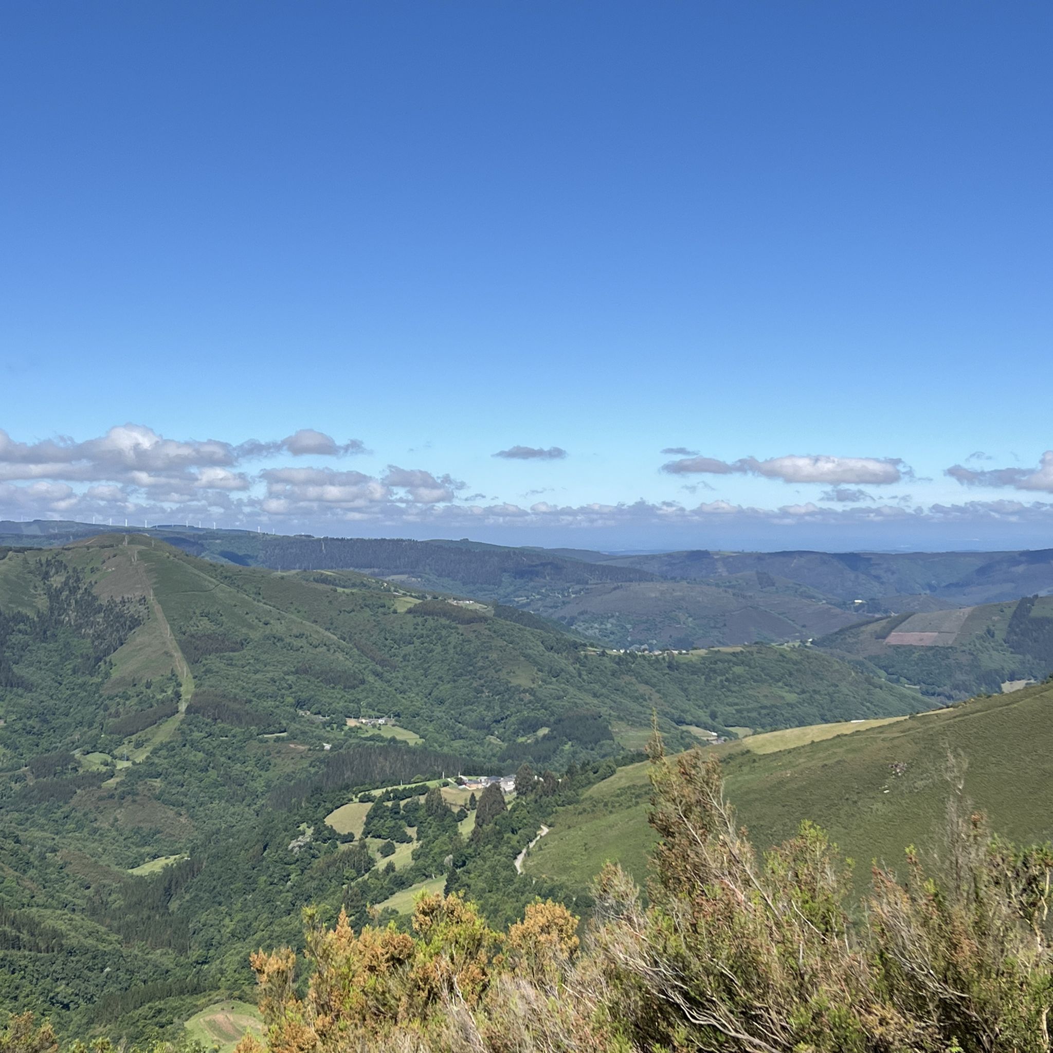
MTB Trails around Os Ancares
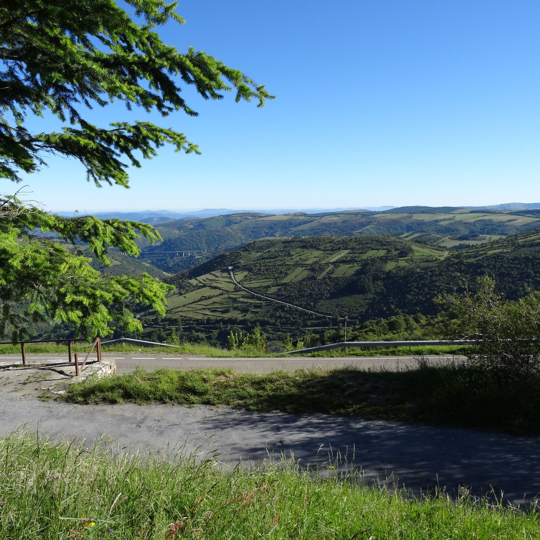
Hiking around Os Ancares
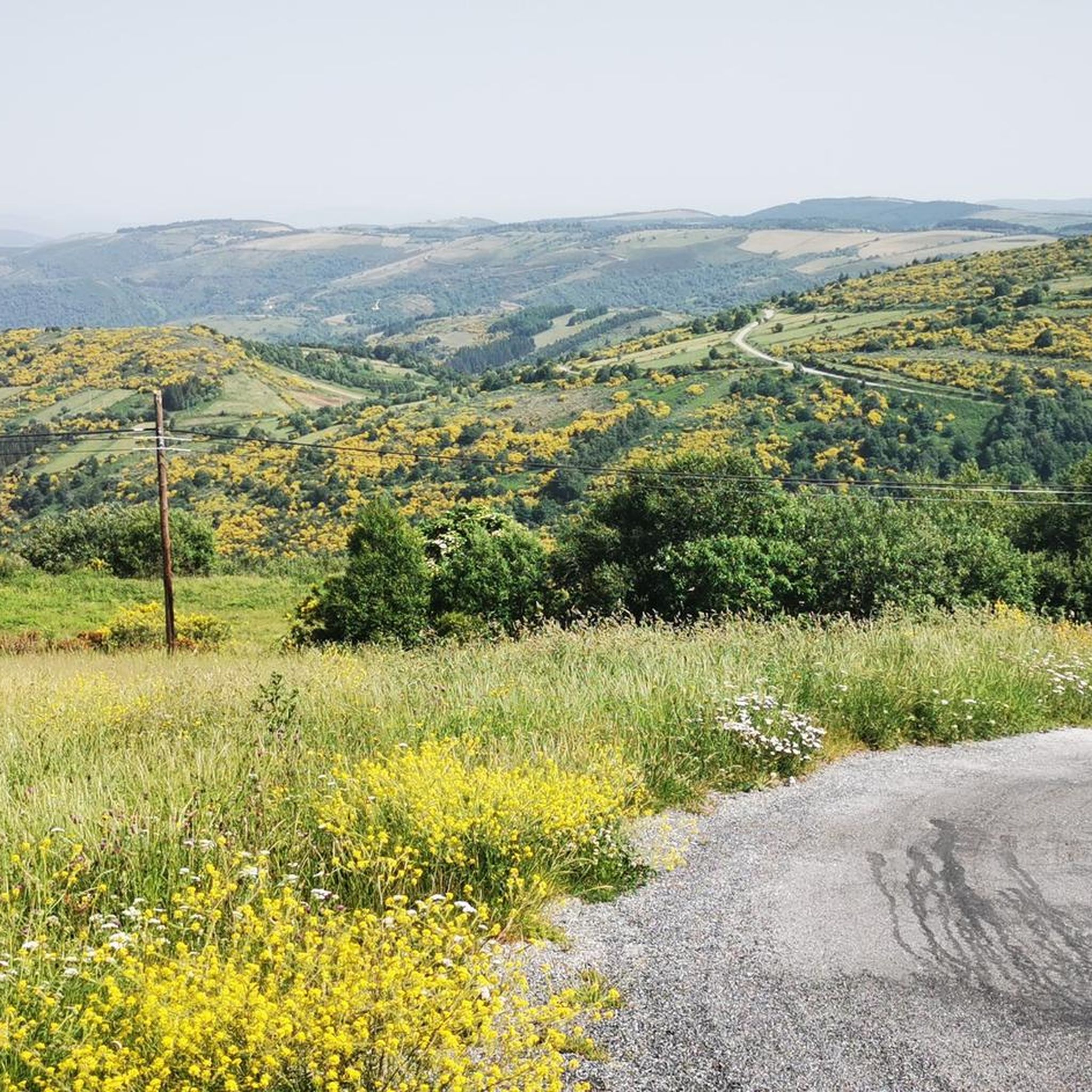
Cycling around Os Ancares
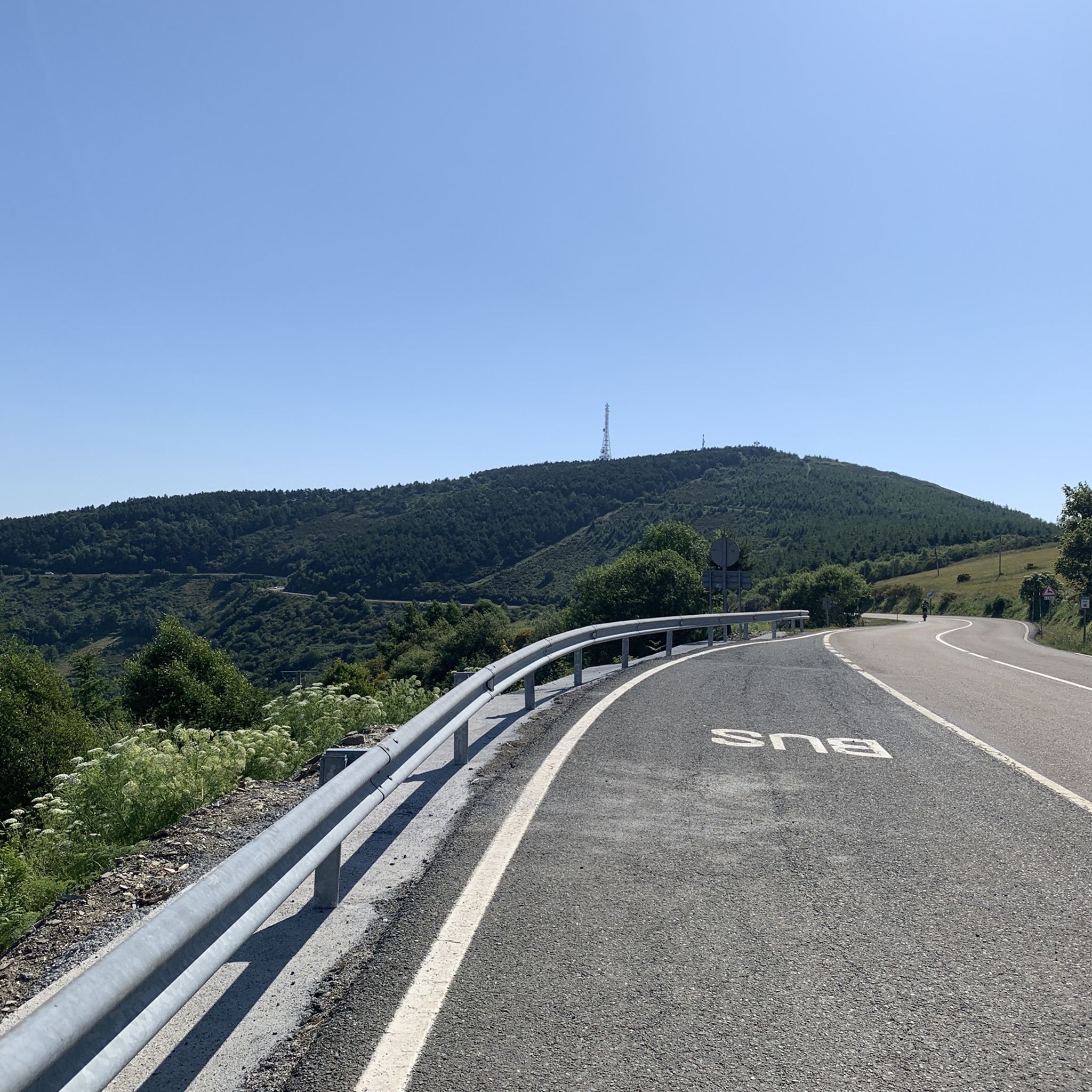
Road Cycling Routes around Os Ancares
Running Trails around Os Ancares

Gravel biking around Os Ancares
Other adventures around Os Ancares


Tips from the Community


Famous pass, feared by medieval pilgrims, practically connects the Bierzo with Galicia. The climb from Villafranca del Bierzo is no joke, but doable. Just take it easy.
4
0

Perfect road for a bike ride, you have to be careful in summer because of the vehicle traffic
0
0

After a long and hard climb you finally reach the pass and can be proud of yourself.
3
1
Here you have finally reached the long-awaited pass.
3
0
The route over the 3 passes is beautiful and the scenery is very impressive. Once you have reached the Ceibero, the other passes are no longer so strenuous.
3
0

The last real climbs of the Camino are the three peaks of the Cebreiro mountain group, over a distance of approximately 13 km, divided into three equivalent segments. In the first stretch, starting from Pedrafita (1100 m above sea level) and following the LU-633 up to Cebreiro (1300 m.) there are 4 km almost entirely of climbs, which are also very tiring if you are carrying a lot of luggage: the heat accumulated for fatigue can turn into frozen sweat, cold and chills due to possible fog, tiredness and/or dehydration and the difference in temperature compared to Pedrafita; in addition to covering up, it is advisable to stop for a short refreshment at the village bar. In the second stretch you descend to Linares (1220 m), and then climb up to Alto de San Roque (1260 m), which is particularly windy, as evidenced by the statue of the saint placed on the pass of the hill. The third stretch descends again to Hospital (approximately 1250m) and then rises again reaching Alto do Poio (1335m), the highest point of the three peaks. From here the road begins to descend rapidly for about fifteen km up to 660 m. above sea level of Triacastela.
2
0

Alto de Pedras Apañadas on the border between Asturias and Galicia, the peak at 1200 masl is steep, but the descent will be sweet. Spectacular views across the valleys below and surrounding peaks.
1
0
Frequently Asked Questions
What are some of the prominent mountain peaks in the Serra dos Ancares?
The Serra dos Ancares features several notable peaks. Among them are Pico Mostallar, which is the highest peak in the Galician part of the Ancares and Lugo province, and Pico dos Tres Bispos, offering views where Galicia meets Castilla and León. Other significant peaks include Pico Cuiña, the highest point of the Serra dos Ancares, and Pico Miravalles, known for its exceptional panoramic views.
What kind of views can I expect from the mountain peaks in Os Ancares?
The mountain peaks in Os Ancares offer breathtaking panoramic views. From Pico Mostallar, you can see Pena Longa, Cuiña, and Campanario peaks, the Vilouso Valley, and on clear days, even distant views of Ponferrada and the Picos de Europa. Pico Cuiña provides extensive 360-degree views over the surrounding mountainous terrain, while Pico Miravalles is celebrated for allowing visitors to see up to six different valleys, including Valleys of Fornela and Luiña.
Are there challenging hikes to mountain peaks in Os Ancares?
Yes, several peaks in Os Ancares offer challenging hiking experiences. The ascent to Pico Mostallar from Piornedo, for example, is considered a challenging hike requiring good fitness. Similarly, the Pico dos Tres Bispos Loop Trail is also rated as difficult. These routes often involve significant elevation gain and rugged terrain.
What are the highest peaks in the Serra dos Ancares?
Pico Cuiña stands as the highest point of the Serra dos Ancares at 1,987 meters (6,519 ft). Pico Mostallar, at 1,935 meters, is the highest peak in the Galician part of the Ancares and in Lugo province. Pico Miravalles is the second-highest mountain in the Serra dos Ancares, reaching 1,969 meters (6,460 ft).
Can I find evidence of glacial activity on the peaks of Os Ancares?
Yes, the region around peaks like Pico Cuiña and Pico Mostallar reveals significant evidence of glacial activity. Features such as cirques, glacial lagoons (like Pozo Ferreira at the base of Pico Cuiña), and peat bogs are present, showcasing the effects of strong glacial, periglacial, and alluvial activity over the past two million years.
What cultural insights can I gain when visiting the mountain peaks in Os Ancares?
The Os Ancares region offers unique cultural insights, particularly through its traditional villages. Piornedo, a picturesque village often serving as a starting point for hikes to Pico Mostallar, is known for its ancient, circular stone dwellings with thatched roofs called 'pallozas'. These provide a glimpse into the traditional way of life in these isolated mountain communities.
What outdoor activities are available near the mountain peaks of Os Ancares?
Beyond peak bagging, the Os Ancares region is excellent for various outdoor activities. You can find numerous hiking trails, including challenging routes like the Pico O Mostallar – circular from Piornedo. The area also offers opportunities for mountain biking and gravel biking, with routes like the 'Ascent to O Cebreiro – Alto do Poio loop'.
What wildlife might I encounter in the Os Ancares mountain range?
The Os Ancares region is rich in biodiversity and is home to diverse wildlife. Keen observers might spot chamois (often referred to as 'rebecos' or 'mountain watchers') on the trails. The area also hosts brown bears, wolves, roe deer, and golden eagles, making it a fascinating spot for nature enthusiasts.
What is the best time of year to visit the mountain peaks in Os Ancares?
While the guide does not specify a single 'best' time, the mention of proper gear being essential 'especially in winter' for Pico Cuiña suggests that spring, summer, and autumn offer more accessible conditions for hiking. These seasons generally provide more favorable weather for exploring the trails and enjoying the panoramic views.
What are 'The three passes of O Cebreiro' and why are they significant?
The three passes of O Cebreiro refer to Alto do Cebreiro, Alto de San Roque, and Alto do Poio. They are one of the most significant stages of the Camino de Santiago, offering a magnificent landscape of mountains and forests. Alto do Cebreiro is particularly notable as a historical and spiritual landmark on the pilgrimage route.
Is the Os Ancares region recognized for its ecological value?
Yes, the Os Ancares region is highly recognized for its ecological value. It was designated a UNESCO Biosphere Reserve in 2006. The area is characterized by its rich biodiversity, featuring native forests of oak, chestnut, birch, and holly, and higher up, brushland with tree heath and juniper.
Are there any mountain peaks that are relatively easy to access for scenic views?
Pico Cuiña offers a moderately easy ascent from Puerto de Ancares, making it accessible for a day trip while still providing spectacular 360-degree views. Similarly, hiking to Pico Miravalles from Puerto de Ancares is described as a relatively easy route with moderate difficulty and manageable elevation gain, making it a popular choice for rewarding vistas.
Most popular routes around Os Ancares
Most popular attractions around Os Ancares

Get inspired with the komoot mobile app


Didn’t find what you were looking for?
Discover Os Ancares’s best peaks and summits by region:
