The best walks and hikes around Os Ancares
4.4
(408)
2,821
hikers
33
hikes
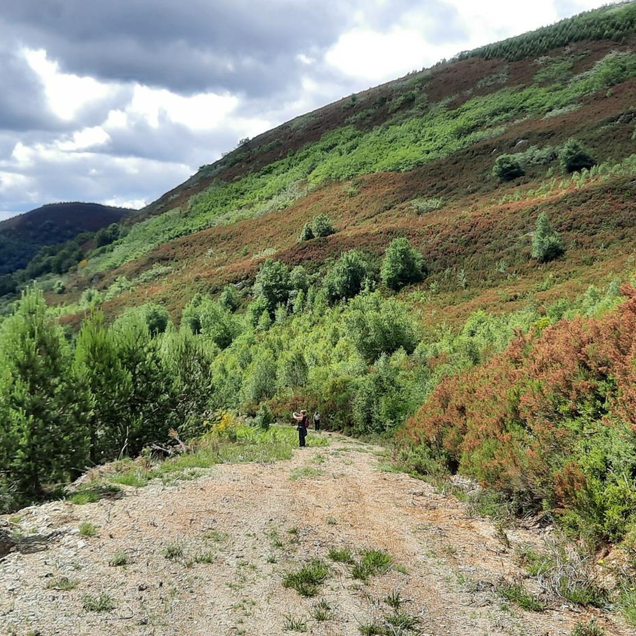
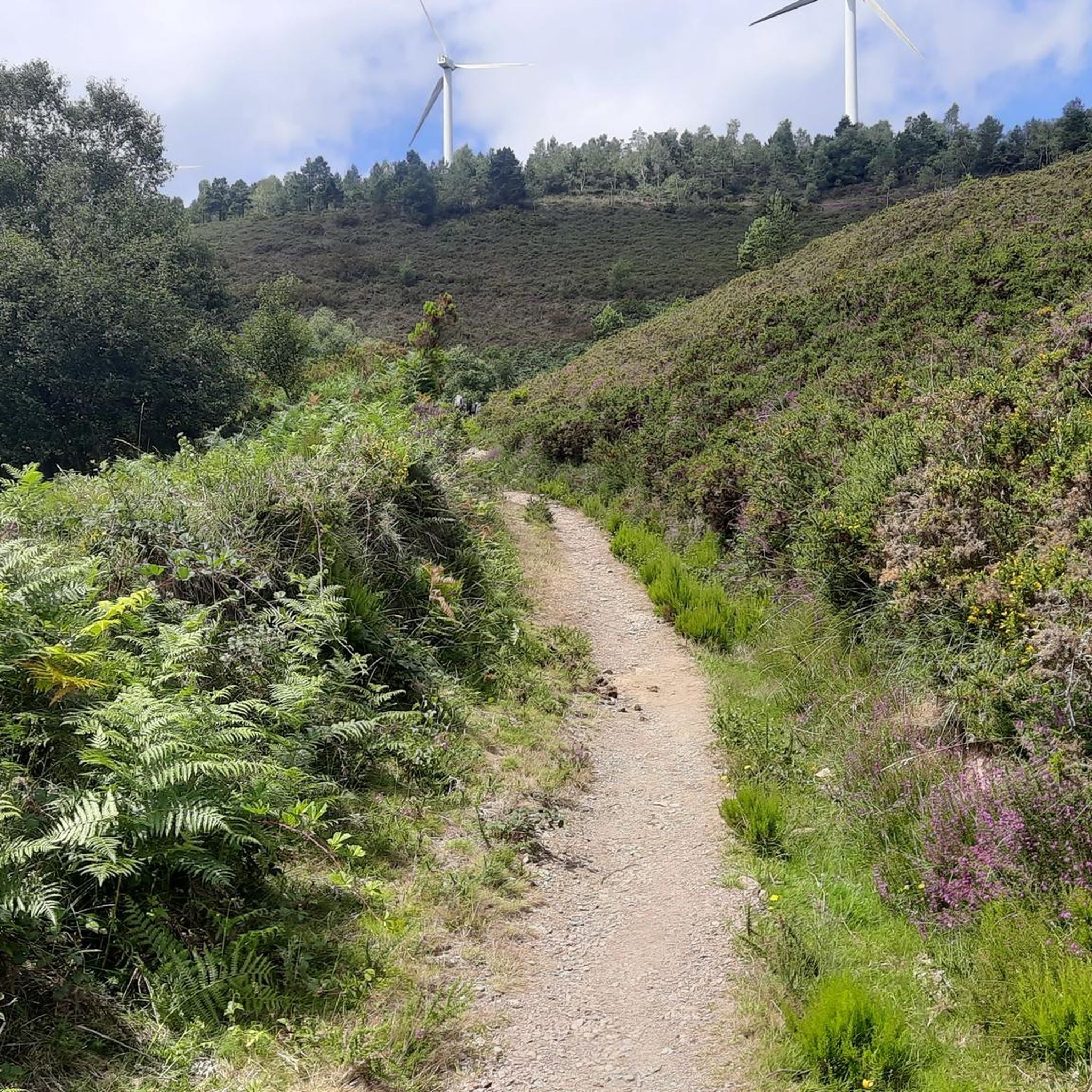
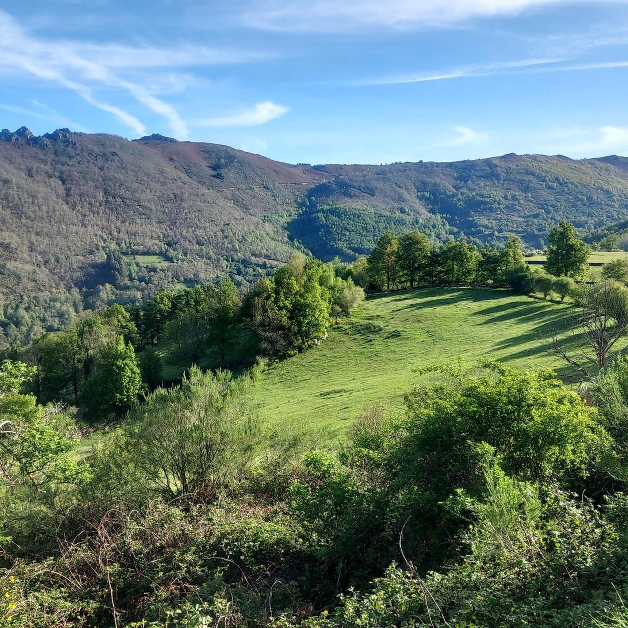
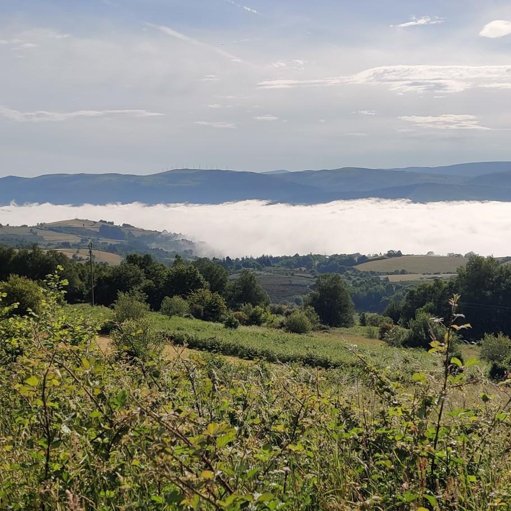
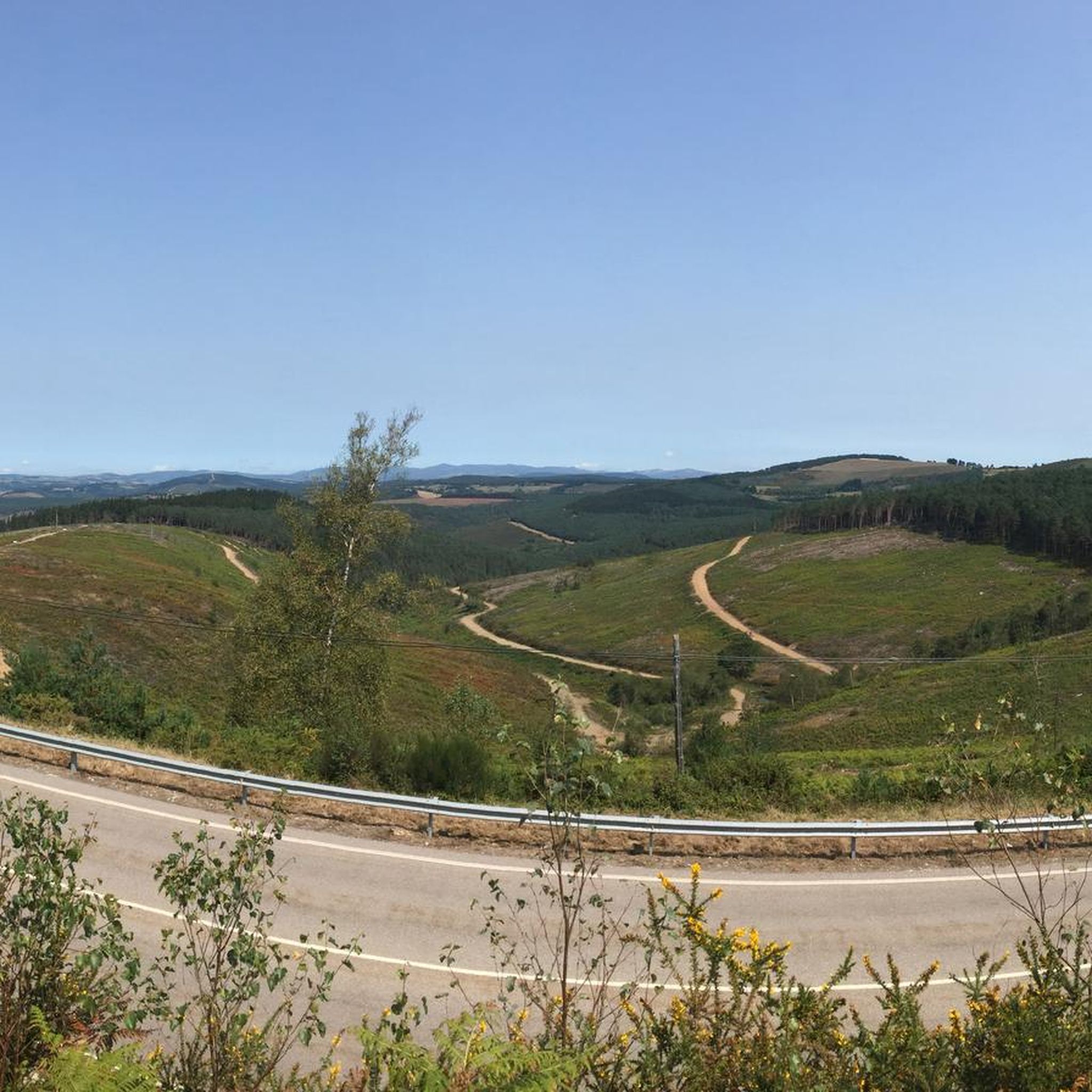
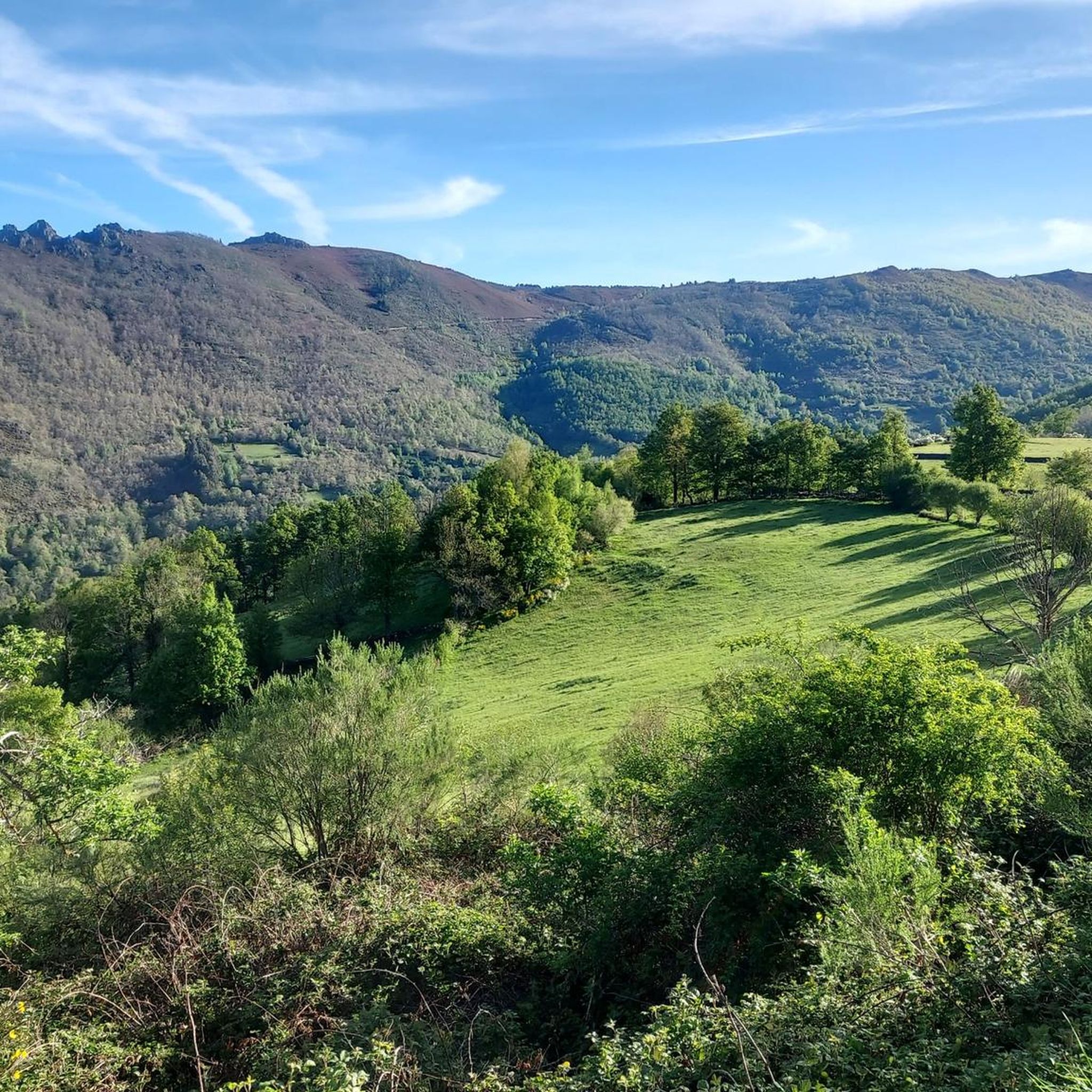
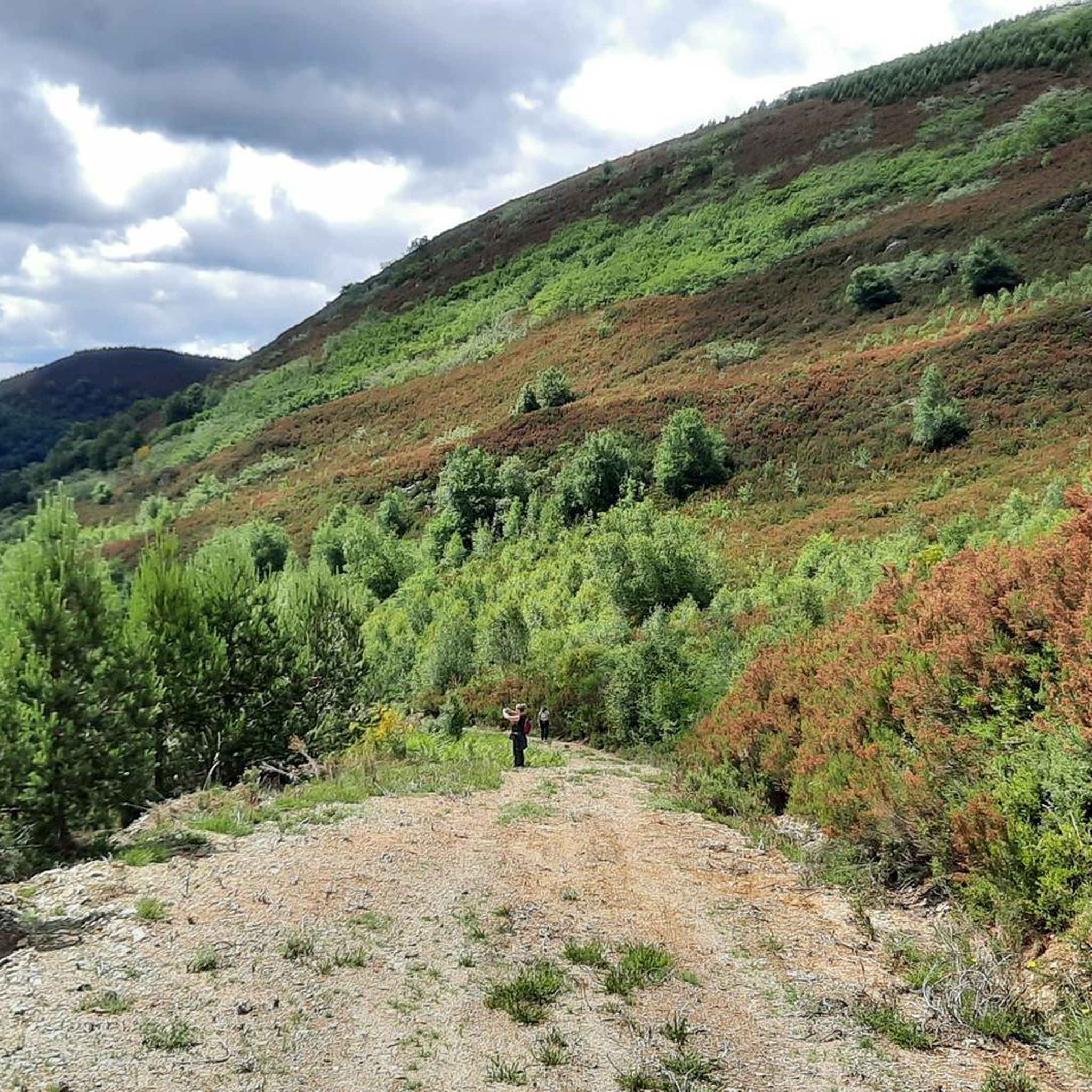
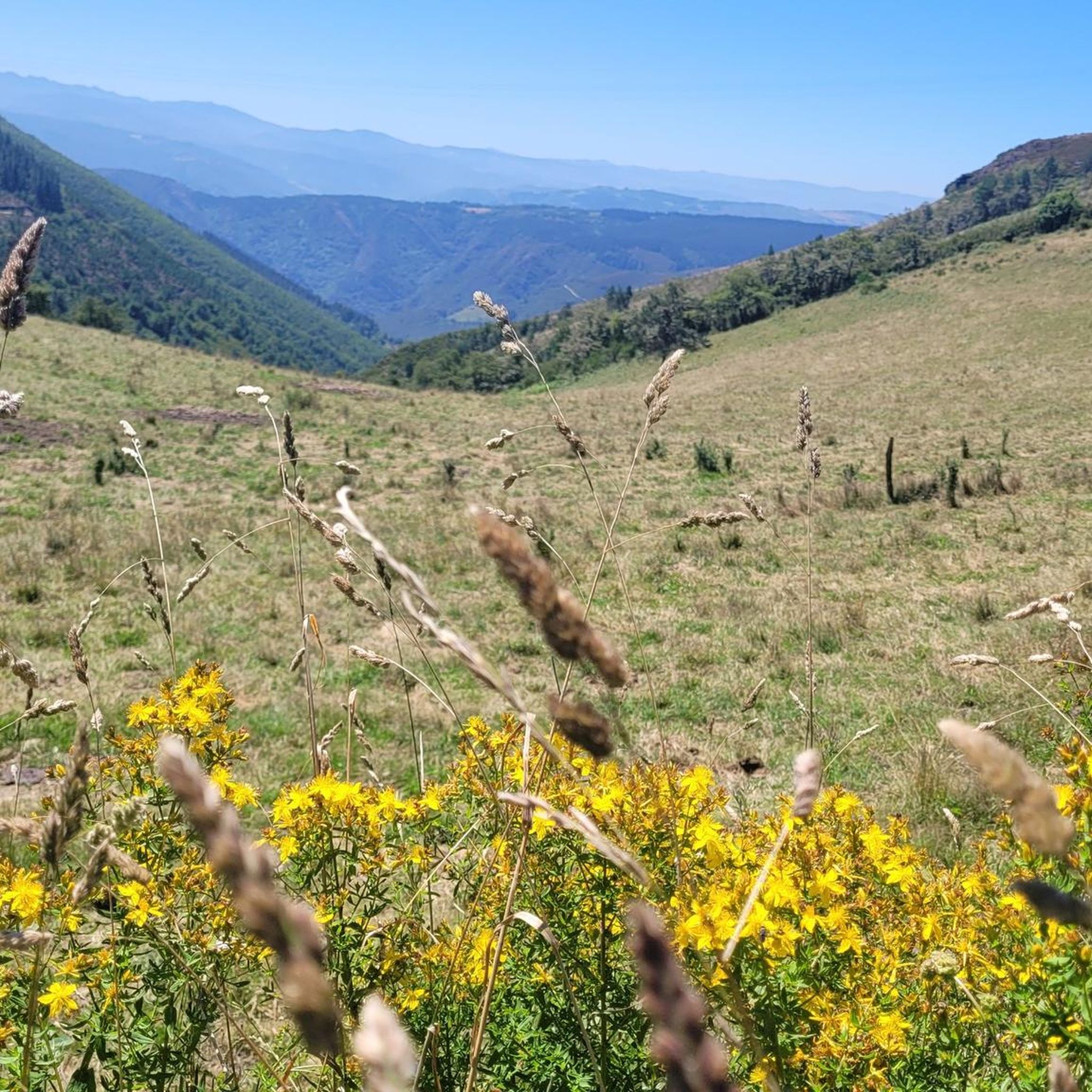
Hiking around Os Ancares reveals a mountainous region spanning parts of Galicia and León, characterized by rugged orography and peaks reaching around 2,000 meters. The landscape features deep, narrow valleys sculpted by glacial and fluvial morphology, alongside diverse forests of oak, maple, and chestnut. River valleys, such as those formed by the Ancares, Burbia, and Cúa rivers, are prominent natural features.
Best hiking trails around Os Ancares
- The most popular hiking route is Pico O Mostallar – circular from Piornedo – Sierra de Ancares, an 8.1 miles (13.0 km) difficult trail that takes about 4 hours 44 minutes to complete, ascending through mountainous terrain.
- Another top favourite among local hikers is Pico dos Tres Bispos Loop Trail, a difficult 11.8 miles (18.9 km) path, offering extensive views across the high peaks.
- Local hikers also love the A Marronda - Alto Eo Route, a 16.2 miles (26.0 km) trail leading through varied landscapes, often completed in about 4 hours 34 minutes.
- Hiking around Os Ancares is defined by its mountainous terrain, diverse forests, and river valleys, with options ranging from easy walks to challenging ascents. The region offers 3 easy, 16 moderate, and 10 difficult routes.
- The routes in Os Ancares are highly rated by the komoot community with an average score of 4.4 stars from more than 100 reviews. More than 900 hikers have used komoot to explore Os Ancares's varied terrain.
Last updated: July 7, 2026
3.8
(5)
49
hikers
13.0km
04:44
830m
830m
Hard hike. Good fitness required. Sure-footedness, sturdy shoes and alpine experience required.
4.7
(7)
29
hikers
18.9km
05:59
770m
770m
Hard hike. Very good fitness required. Easily-accessible paths. Suitable for all skill levels.

Sign up for free
4
hikers
26.0km
04:34
710m
700m
Moderate hike. Good fitness required. Mostly accessible paths. Sure-footedness required.
4.5
(2)
4
hikers
14.8km
04:20
410m
400m
Moderate hike. Good fitness required. Mostly accessible paths. Sure-footedness required.
4.0
(1)
7
hikers
15.6km
05:52
770m
770m
Hard hike. Very good fitness required. Mostly accessible paths. Sure-footedness required.
19.7km
06:21
890m
880m
Hard hike. Very good fitness required. Mostly accessible paths. Sure-footedness required.
4.8
(34)
249
hikers
Hard hike. Very good fitness required. Easily-accessible paths. Suitable for all skill levels.
4.6
(10)
70
hikers
12.7km
04:48
870m
870m
Moderate hike. Good fitness required. Easily-accessible paths. Suitable for all skill levels.
4.2
(10)
75
hikers
23.6km
06:37
460m
460m
Hard hike. Very good fitness required. Easily-accessible paths. Suitable for all skill levels.
4.9
(8)
45
hikers
14.3km
04:17
440m
440m
Moderate hike. Good fitness required. Easily-accessible paths. Suitable for all skill levels.
Get access to more routes and recommendations from other explorers.
Sign up for free
Already have an account?
Our route recommendations are based on thousands of hikes, rides, and runs completed by other people on komoot.
Start today with a free account
Your next adventure awaits.
Login or Signup

Other adventures around Os Ancares


Tips from the Community

A magnificent view of the Galician mountains
3
0
The path to OCebeiro is strenuous, but the higher you get, the more you can enjoy the panorama
1
1
Anyone walking here can admire a magnificent panorama, inviting you to stop and enjoy it.
2
0

Of course, at this border—of which the pilgrim has already crossed several on his long journey through northern Spain—it is especially wonderful to have (finally) reached Galicia. This makes us realize that we are slowly but surely approaching the destination of the great and beautiful, but naturally also strenuous, pilgrimage route: the tomb of the Apostle James the Greater in Santiago de Compostela, Galicia.
2
1

The climb to O Cebreiro is rewarded with this unique panorama!
2
0

La Faba is known for its strategic location, which makes it a highly valued place for pilgrims seeking a little peace and rest. At this point the hard climb to the border with Galicia begins.
2
0

Best view, even the drizzle can't ruin it
3
0

If you have the opportunity to explore this trail, you will enjoy the natural beauty and ecological richness of the area. Good hike! 🌿🚶♀️
2
0
Frequently Asked Questions
How many hiking trails are available in Os Ancares?
Os Ancares offers a diverse range of hiking experiences with 29 trails in total. You'll find options for all skill levels, including 3 easy routes, 16 moderate trails, and 10 challenging difficult paths.
What kind of terrain can I expect on hikes in Os Ancares?
Hikes in Os Ancares feature a varied and often rugged terrain. You can expect to traverse mountainous landscapes with peaks up to 2,000 meters, deep river valleys, and diverse forests including ancient oak, maple, and chestnut groves. The trails often involve significant elevation changes, characteristic of the region's abrupt orography.
Are there any circular hiking routes in Os Ancares?
Yes, Os Ancares has several circular hiking routes that allow you to start and end in the same location. For example, the challenging Pico O Mostallar – circular from Piornedo – Sierra de Ancares is a popular option, as is the Pico dos Tres Bispos Loop Trail, offering extensive views.
What are some notable natural features or landmarks to see while hiking in Os Ancares?
Os Ancares is rich in natural beauty and cultural heritage. You can explore diverse forests, river valleys like those carved by the Ancares, Burbia, and Cúa rivers, and dramatic mountainous vistas. Keep an eye out for traditional "pallozas" – circular, thatched-roof dwellings – in villages like Piornedo, or visit the Church of Santa María la Real in O Cebreiro. For impressive peaks, consider routes near Pico dos Tres Bispos or Pico Mostallar.
What do other hikers enjoy most about the trails in Os Ancares?
The trails in Os Ancares are highly rated by the komoot community, with an average score of 4.4 stars from over 100 reviews. Hikers often praise the region's stunning natural beauty, the challenging yet rewarding ascents to high peaks, and the sense of immersion in a well-preserved natural and cultural landscape.
Are there any easy or beginner-friendly hikes in Os Ancares?
Yes, while many trails are moderate to difficult, there are 3 easy routes suitable for beginners or those looking for a more relaxed walk. These typically feature less elevation gain and shorter distances, allowing you to enjoy the scenery without strenuous effort.
Can I find trails that pass through forests or offer shade in Os Ancares?
Absolutely. Os Ancares is known for its diverse forests, which change with elevation. You'll find trails winding through ancient oak, maple, sorb, birch, and significant chestnut groves, especially in the lower and mid-altitudes. These forested sections provide ample shade and a beautiful natural environment.
Are there any specific trails known for their views or panoramic vistas?
Many trails in Os Ancares offer spectacular views due to the region's mountainous character. Routes that ascend to higher peaks, such as the Pico dos Tres Bispos Loop Trail or the Pico O Mostallar – circular from Piornedo, are particularly renowned for extensive panoramic views across the high peaks and valleys.
What is the best time of year to go hiking in Os Ancares?
The best time to hike in Os Ancares is generally from spring to autumn. During these seasons, the weather is more stable, and the trails are more accessible. Spring brings lush greenery and wildflowers, while autumn offers stunning fall foliage, especially in the chestnut and oak forests. Winter hiking is possible but requires appropriate gear and experience due to snow and colder conditions at higher elevations.
Are there any trails that feature water elements like rivers or gorges?
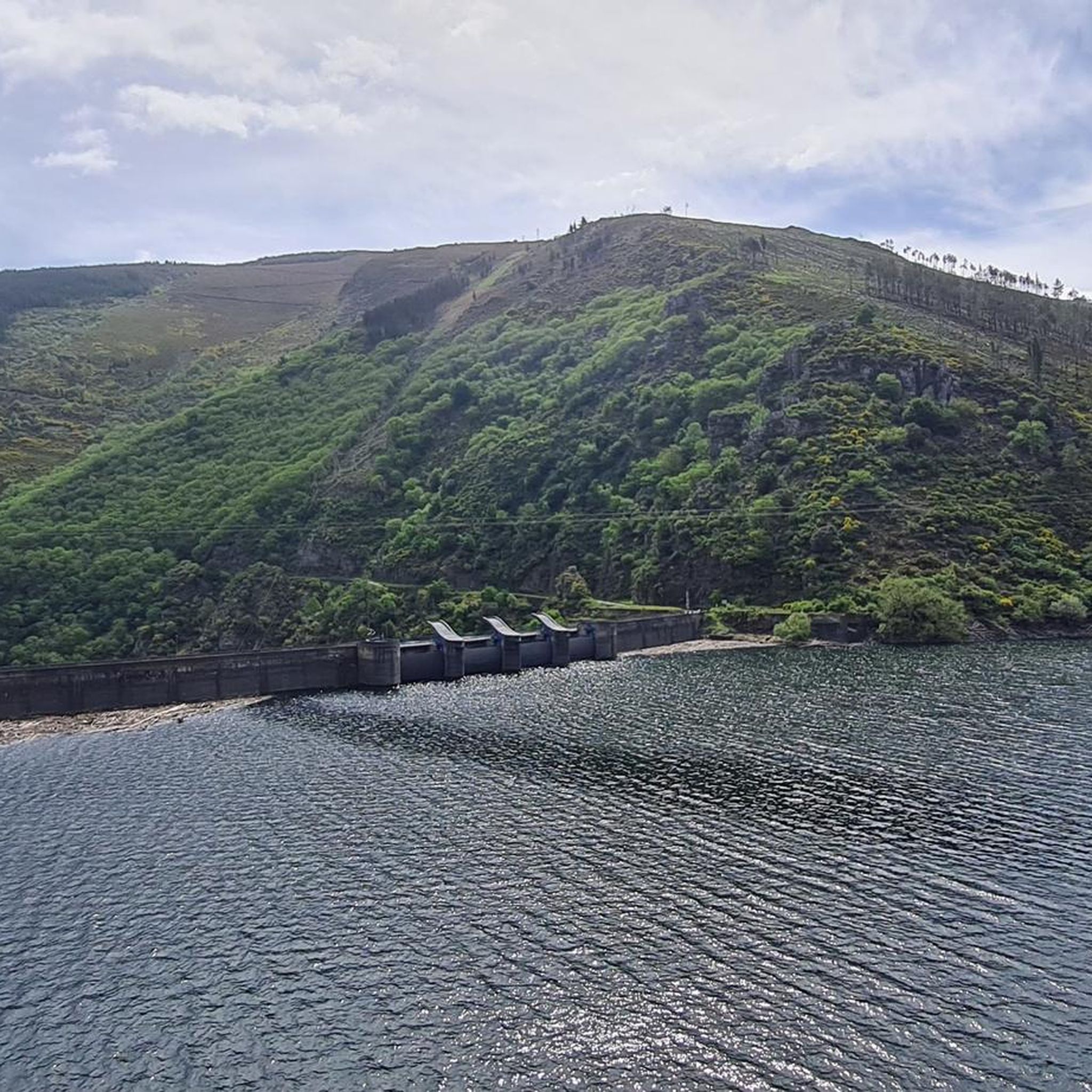
Yes, the region is characterized by its river valleys. The Ancares, Burbia, and Cúa rivers form the backbone of the area, and many trails follow their banks or offer views into their gorges. The beautiful valley carved by the River Ser and the gorges of the River Rao are notable examples where you can experience these natural water features.
Are there any trails suitable for families with children?
While many trails in Os Ancares can be challenging, the 3 easy routes are generally suitable for families looking for a less strenuous outing. These shorter paths allow children to enjoy the natural surroundings without excessive difficulty. Always check the specific route details for distance and elevation to ensure it matches your family's capabilities.
What are the typical distances and durations for hikes in Os Ancares?
Hikes in Os Ancares vary significantly. Easy routes might be a few kilometers, while moderate trails like Seimeiras de Queixoiro Loop Trail are around 14.7 km and take about 4 hours. More difficult routes, such as Desfiladero de Bustelín, can be over 15 km and take 6 hours or more, depending on elevation gain and terrain.
Is public transport available to reach hiking trailheads in Os Ancares?
Public transport options within the remote mountainous region of Os Ancares can be limited. It is advisable to research specific routes and their starting points to determine if local bus services or other transport links are available. Often, reaching trailheads may require private vehicle access or pre-arranged transport.
Most popular routes around Os Ancares
Most popular attractions around Os Ancares

Get inspired with the komoot mobile app


Didn’t find what you were looking for?
Check out more Hikes throughout Os Ancares below and find the perfect route in your destination.
