The 3 Most Amazing Peaks around Dättlikon
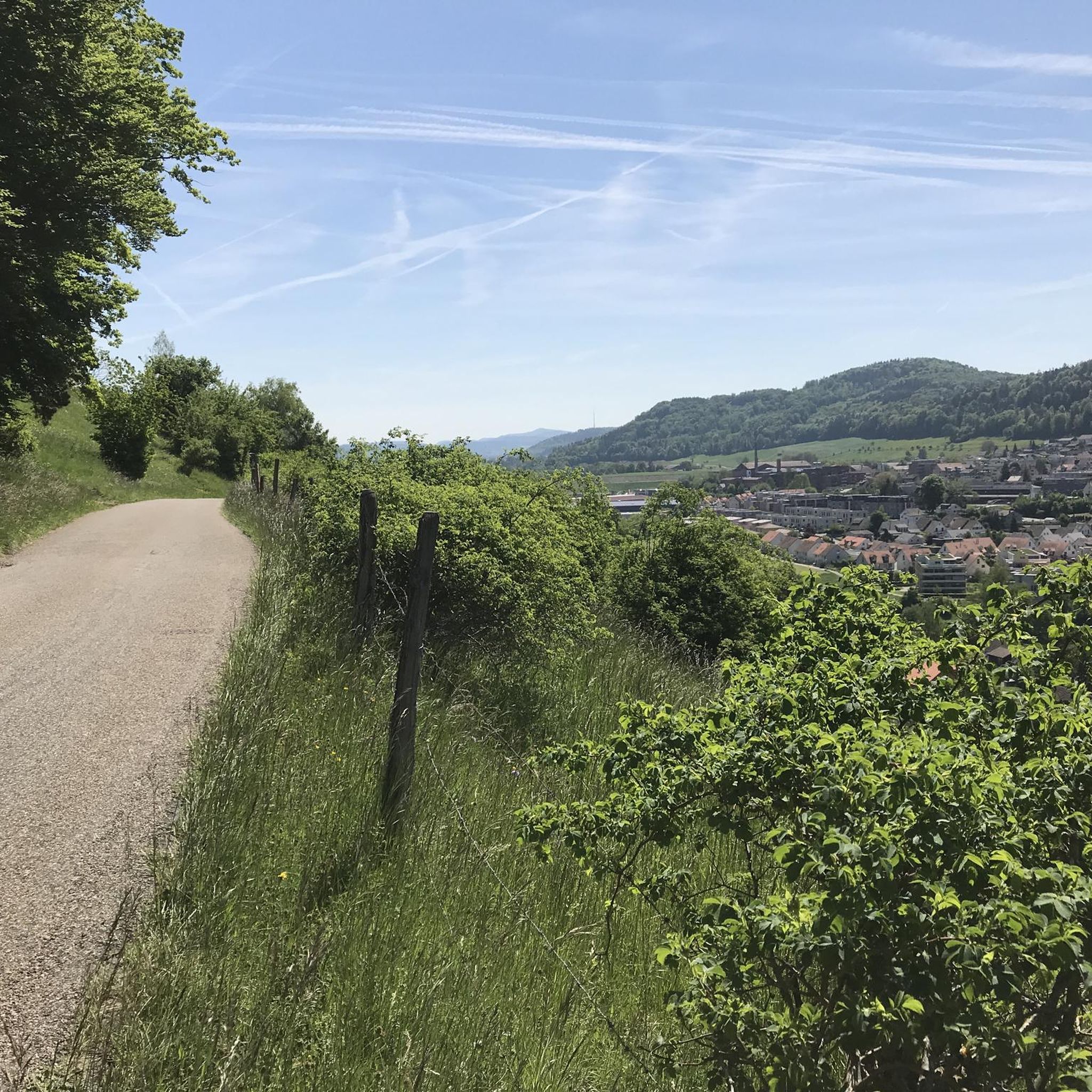
Best mountain peaks around Dättlikon are found within a landscape characterized by gently rolling terrain, rather than conventional high mountain peaks. The municipality is situated on the southern terrace of the Irchel elevation, offering a diverse landscape of forests, meadows, and vineyards. This area serves as a popular recreational destination for walks and hikes, with elevations ranging from 369 to 686 meters above sea level. The Irchel is a significant elevated feature, providing starting points for local hiking routes.
Best…
Last updated: June 23, 2026
Lookout
Highlight • Viewpoint
Translated by Google •
Tip by

Eschenberg Tower
Highlight • Monument
Translated by Google •
Tip by

Sign up now to discover places like this
Get recommendations on the best single tracks, peaks, & plenty of other exciting outdoor places.
Sign up for free
Rhinsberg Prehistoric Hillfort
Highlight • Historical Site
Translated by Google •
Tip by

Hurbig
Highlight • Viewpoint
Translated by Google •
Tip by
Hohen-Tüfen Castle Site
Highlight • Historical Site
Translated by Google •
Tip by

Sign up for free to discover even more peaks around Dättlikon.
Sign up for free
Already have an account?
Start today with a free account
Your next adventure awaits.
Login or Signup
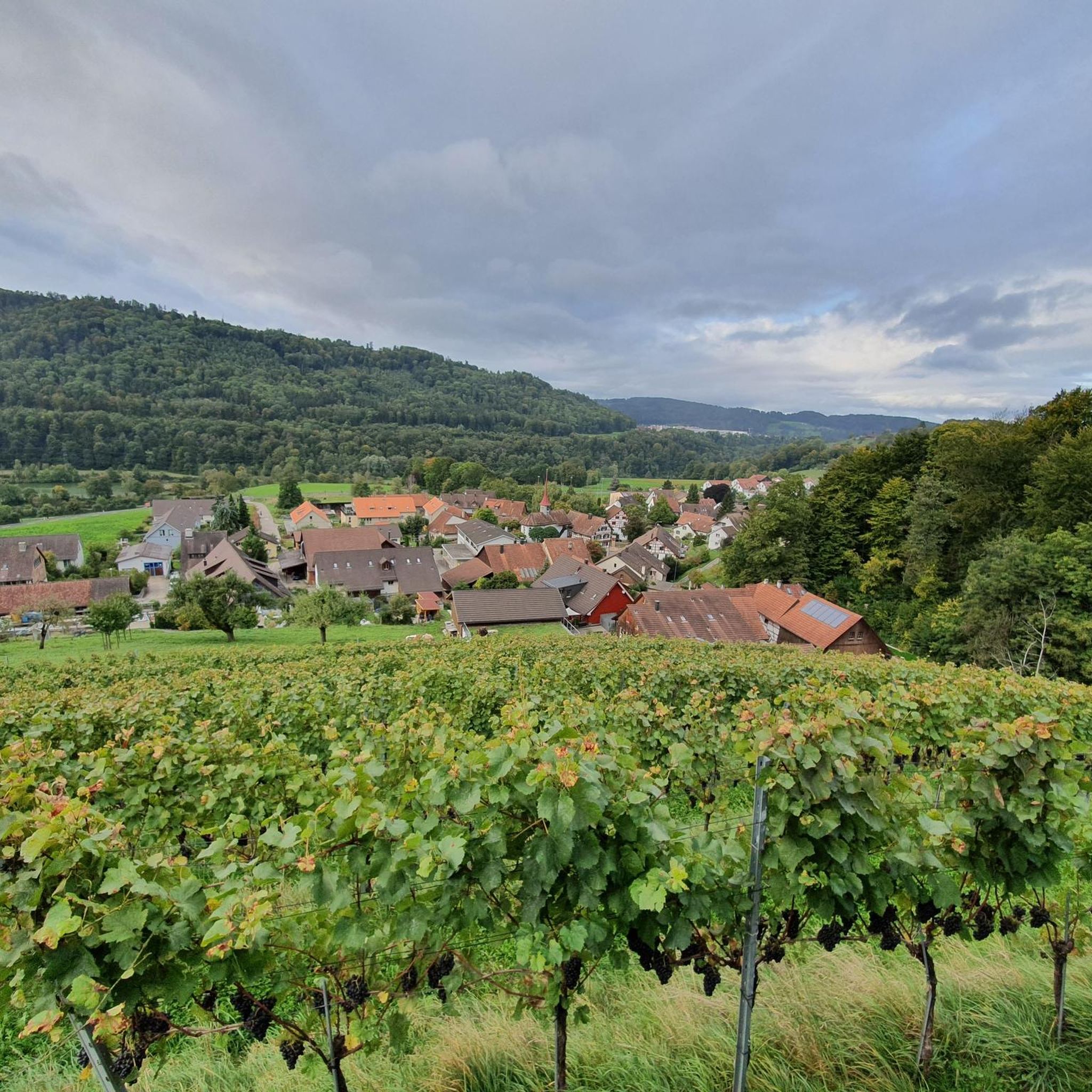
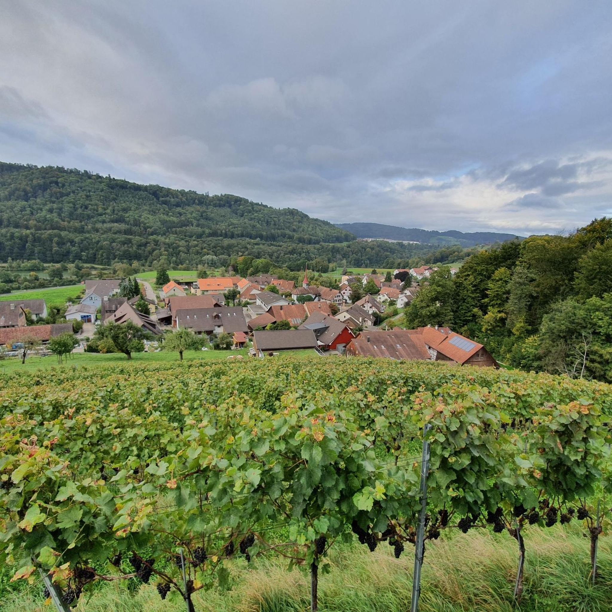
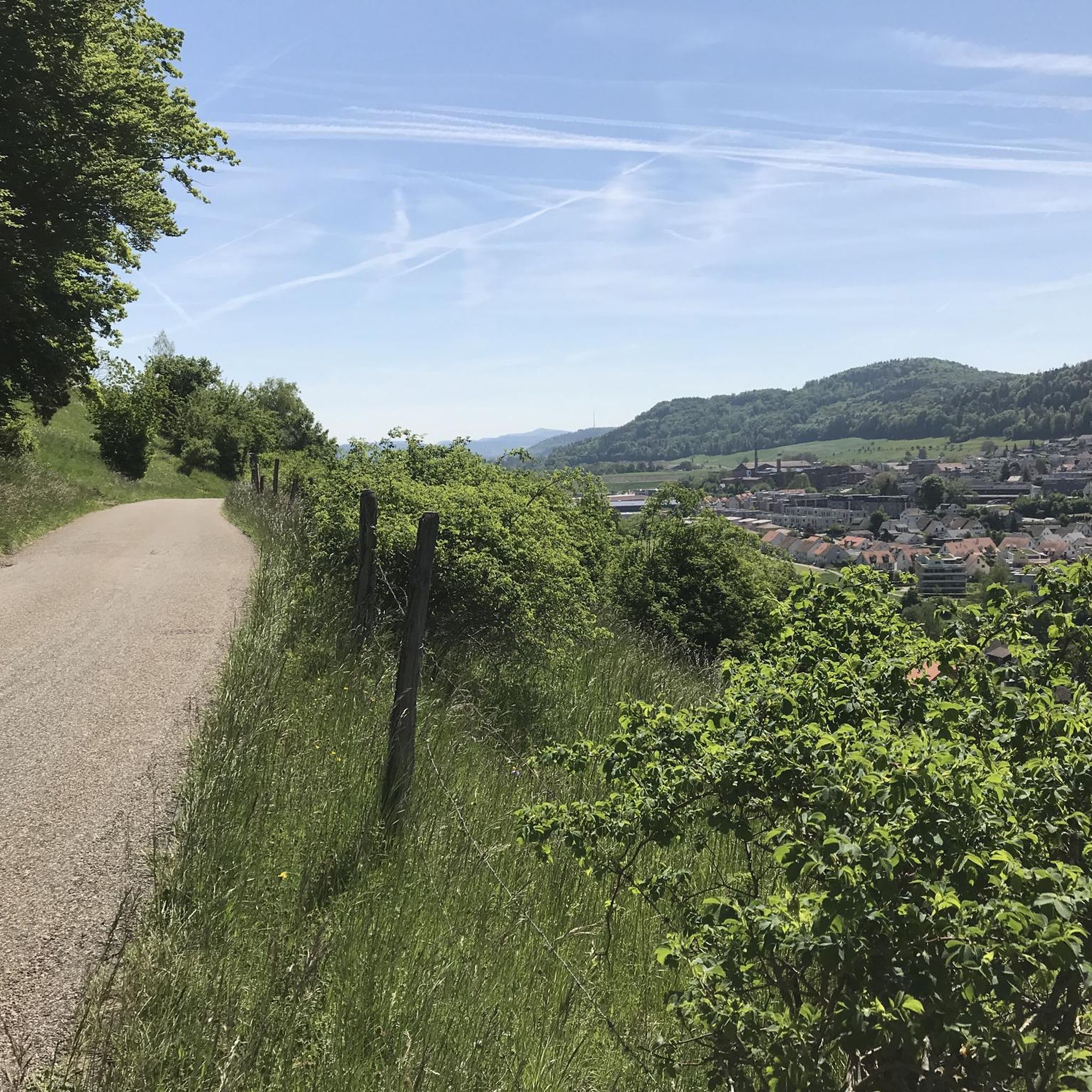
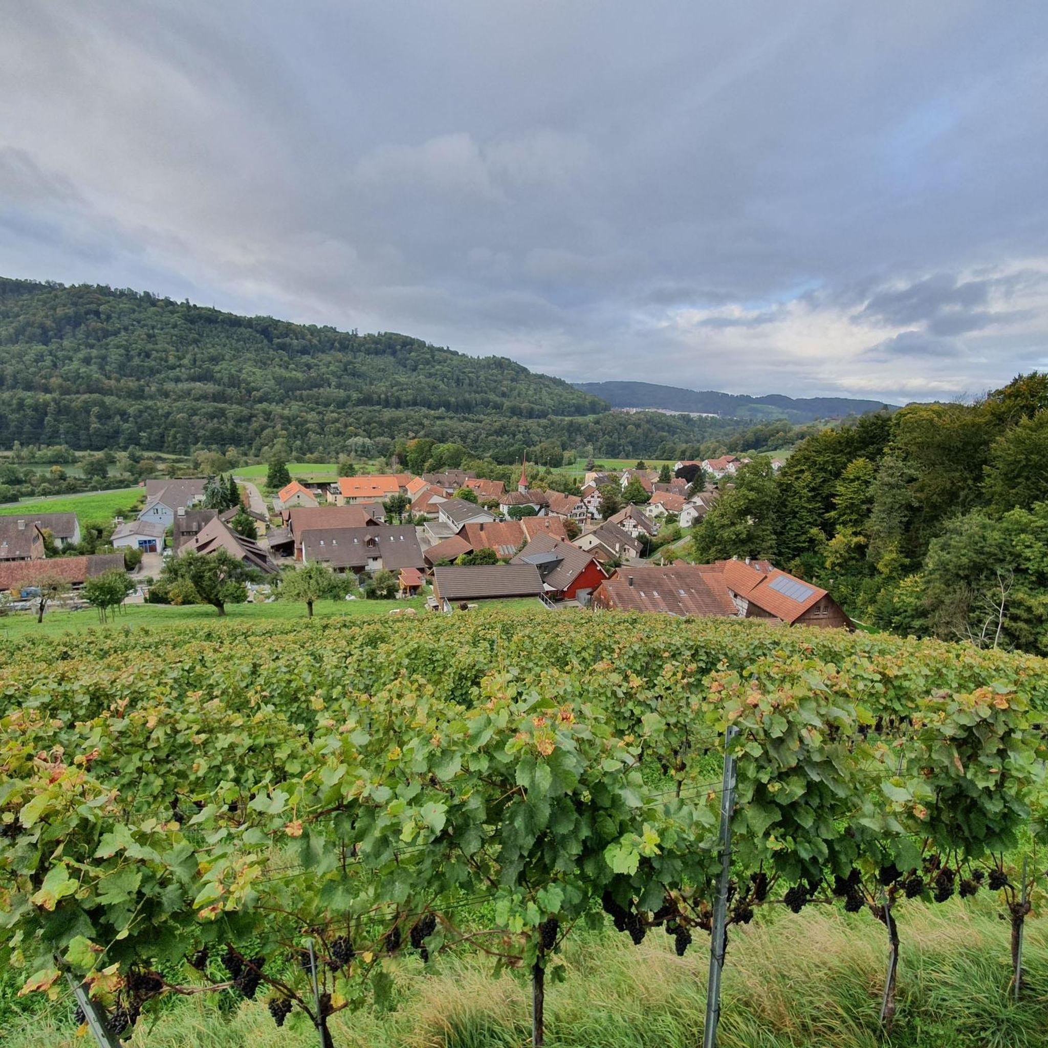

Tips from the Community


There is also a watchtower ruin on the Rhinsberg. It was used by the canton of Zurich until the 19th century, but today only the stone foundations can be seen.
0
0

Great view with barbecue area, can be easily connected to the Irchelturm.
3
0

From the 31.5 meter high steel construction from 1888 you have a great view over Winterthur and the local recreation area Stadtwald Eschenberg. You can reach the viewing platform via 167 steps. If the visibility is good, you can see the Alps from here.
1
0


From the tower you have a view of the Hegau
3
0

You have a great view from the tower, when the weather is nice, the Alps are close enough to touch
4
0
Frequently Asked Questions
What kind of elevated features can I expect to find around Dättlikon?
Dättlikon is characterized by gently rolling terrain rather than conventional high mountain peaks. The area features elevated forest areas, viewpoints, and hills, with the most significant being the Irchel elevation. These spots offer diverse landscapes of forests, meadows, and vineyards, perfect for walks and hikes.
What are some of the most popular viewpoints in the Dättlikon area?
Visitors particularly enjoy the Hochwacht Irchel viewpoint, which offers views towards Eglisau and Buchberg and includes a BBQ area. Another popular spot is the Eschenberg Tower, a 31.5-meter high steel construction providing panoramic views over Winterthur, with the Alps visible on clear days. The Hurbig also offers a pleasant rest area with fire pits and views, especially in winter.
What is the highest point within the Dättlikon municipality?
The highest point within the Dättlikon municipality is the Irchelboden, reaching an elevation of 685 meters above sea level. This is part of the broader Irchel elevation, which serves as a popular starting point for local hikes.
Are there historical sites or ancient ruins on the elevated areas around Dättlikon?
Yes, the region offers interesting historical sites. The Rhinsberg Prehistoric Hillfort is a late Bronze Age hill fort with a visible beaten path and remains of a watchtower. Additionally, the Hohen-Tüfen Castle Site features an information board and a prominent castle hill, remnants of a structure built around 1250.
What kind of hiking trails are available near Dättlikon's elevated areas?
The Dättlikon area offers numerous hiking and walking trails, ranging from easy to moderate difficulty. Popular routes include the Tössfeldstrasse Dam – Wart Castle loop and the Affenschlucht Waterfall – Wart Castle loop. These trails typically involve moderate elevation gains and are valued for experiencing the scenic local landscape. You can find more details on hiking options at Hiking around Dättlikon.
Are there family-friendly hiking options around Dättlikon?
Yes, several spots and trails are suitable for families. The Hochwacht Irchel viewpoint is considered family-friendly and features a BBQ area. The Hurbig also offers a rest area with fire pits and a playground, making it a good destination for families. Many local trails, like the Gravel Path Near Zurich loop, are easy and accessible for various fitness levels.
What other outdoor activities can I do in the Dättlikon region besides hiking?
Beyond hiking, the Dättlikon region is popular for road cycling and running. You can explore various routes such as the Näfbach – Seuzach–Neftenbach Cycle Path loop for road cycling, or the Blindensteg – Spring Water Fountain loop for running. For more information, check out Road Cycling Routes around Dättlikon and Running Trails around Dättlikon.
What do visitors enjoy most about the elevated areas and viewpoints in Dättlikon?
Visitors frequently praise the beautiful views, especially from the Hochwacht Irchel viewpoint and Eschenberg Tower. The presence of BBQ areas, like at Hochwacht Irchel and Hurbig, is also highly appreciated. Many enjoy the blend of natural scenery with historical elements, such as the ancient fortifications at Rhinsberg, offering a unique outdoor experience.
What is the best time of year to visit the elevated areas around Dättlikon?
The Dättlikon area is enjoyable throughout the year. Spring and autumn offer pleasant temperatures for hiking and cycling through forests and vineyards. In winter, the bare trees can provide clearer views from viewpoints like Hurbig. The region's rolling terrain makes it accessible even when higher mountain regions might be challenging due to snow.
Are there any natural features like waterfalls or gorges to explore near Dättlikon?
While Dättlikon is not known for dramatic mountain features, the region research mentions the Affenschlucht Waterfall. This natural feature is part of a moderate hiking loop, the Affenschlucht Waterfall – Wart Castle loop, offering a scenic experience within the local landscape.
How accessible are the elevated areas around Dättlikon by public transport?
The Dättlikon area is generally well-connected, making many hiking and walking trails accessible via public transport. Specific routes and starting points can be reached by local buses, allowing visitors to enjoy the scenic landscape without needing a car. It's advisable to check local transport schedules for the most convenient access to trailheads.
Can I find places to eat or stay near the hiking trails in Dättlikon?
While Dättlikon is a smaller municipality, there are options for refreshments and accommodation in the surrounding areas. The region's popularity for recreation means you can find cafes and restaurants in nearby towns. For accommodation, options range from guesthouses to hotels, typically a short drive or public transport ride away from the main trailheads.
Most popular routes around Dättlikon
Most popular attractions around Dättlikon

Get inspired with the komoot mobile app


Explore more
See even more amazing summits around Dättlikon with these guides:
