The best cycling routes around Dättlikon
4.5
(2206)
17,038
riders
461
rides
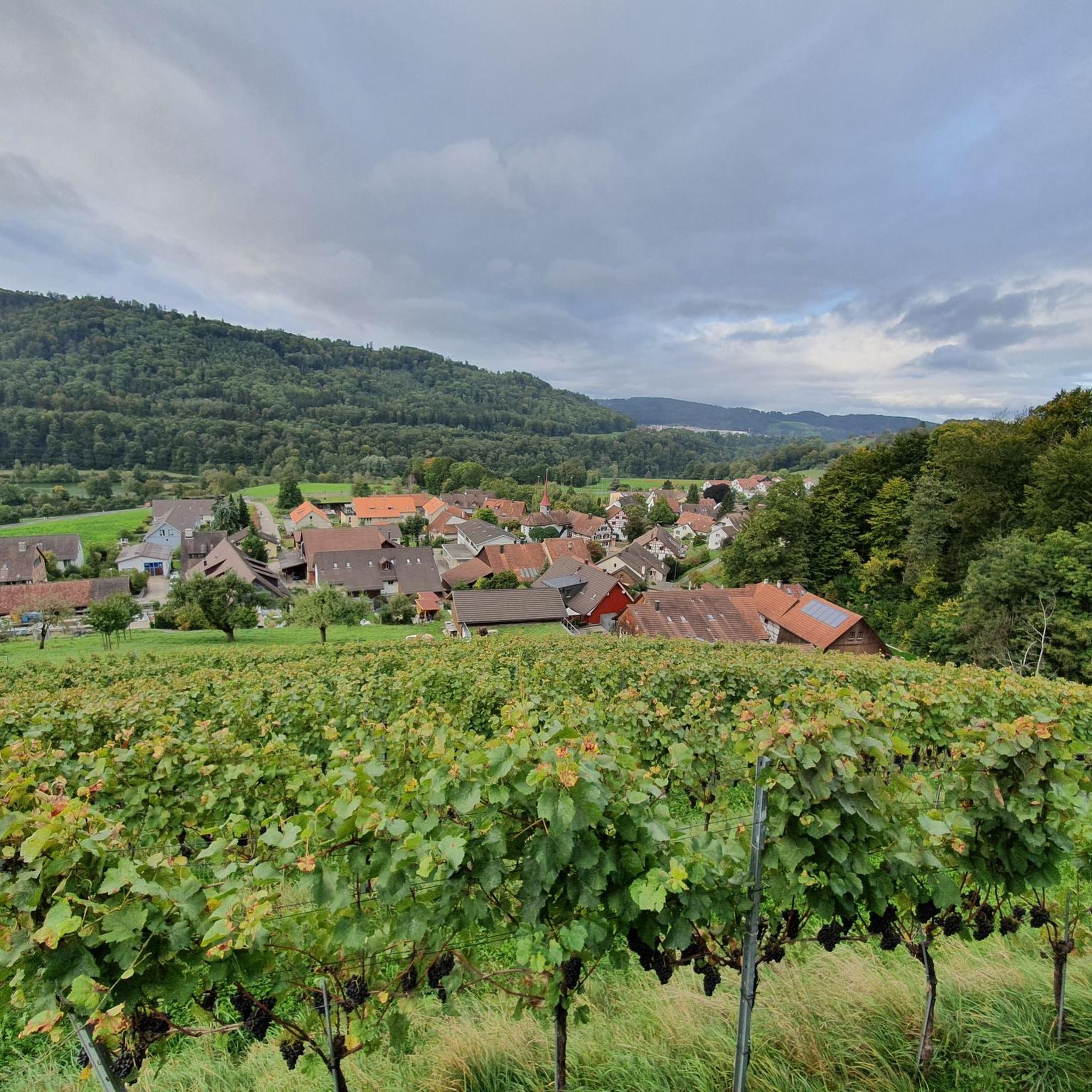
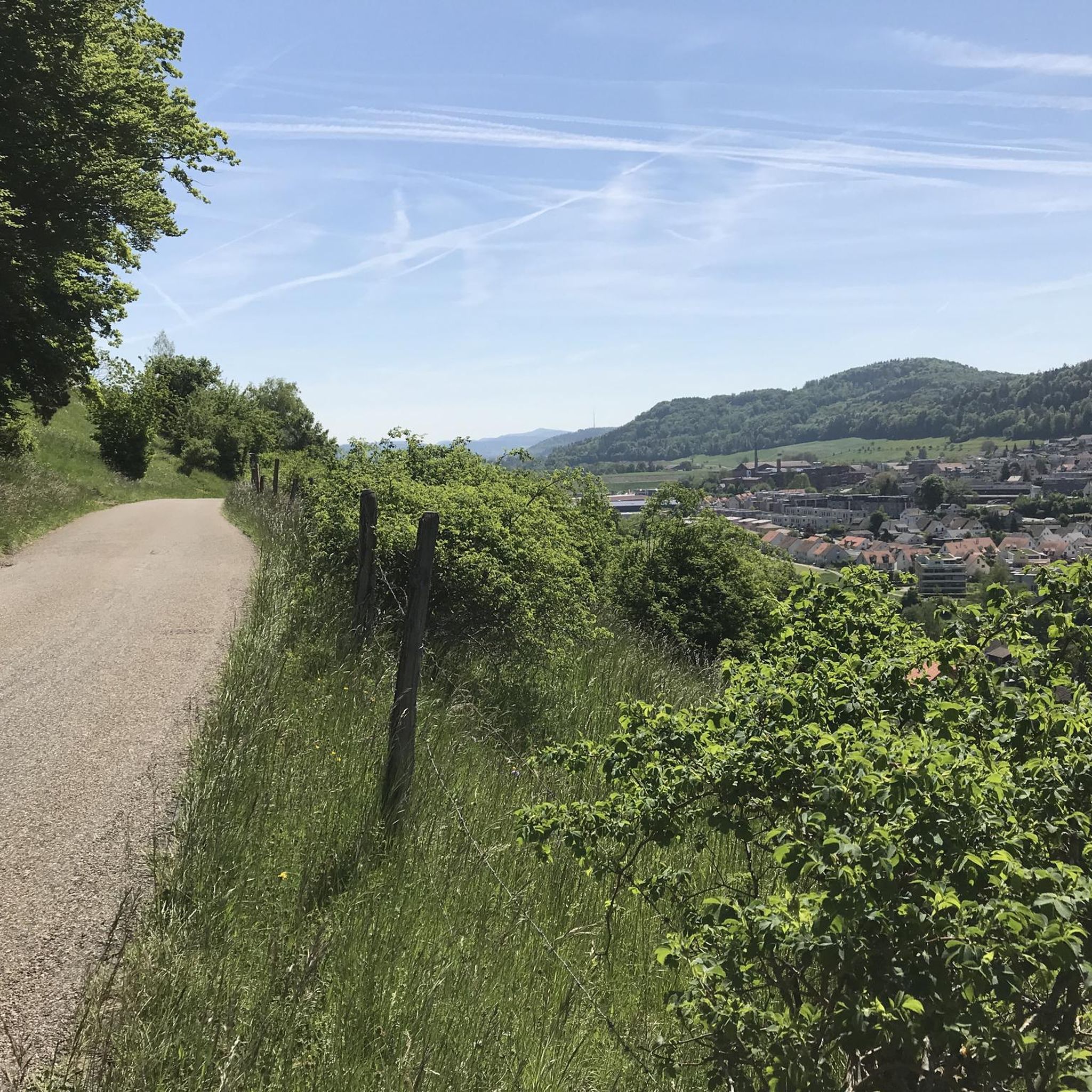
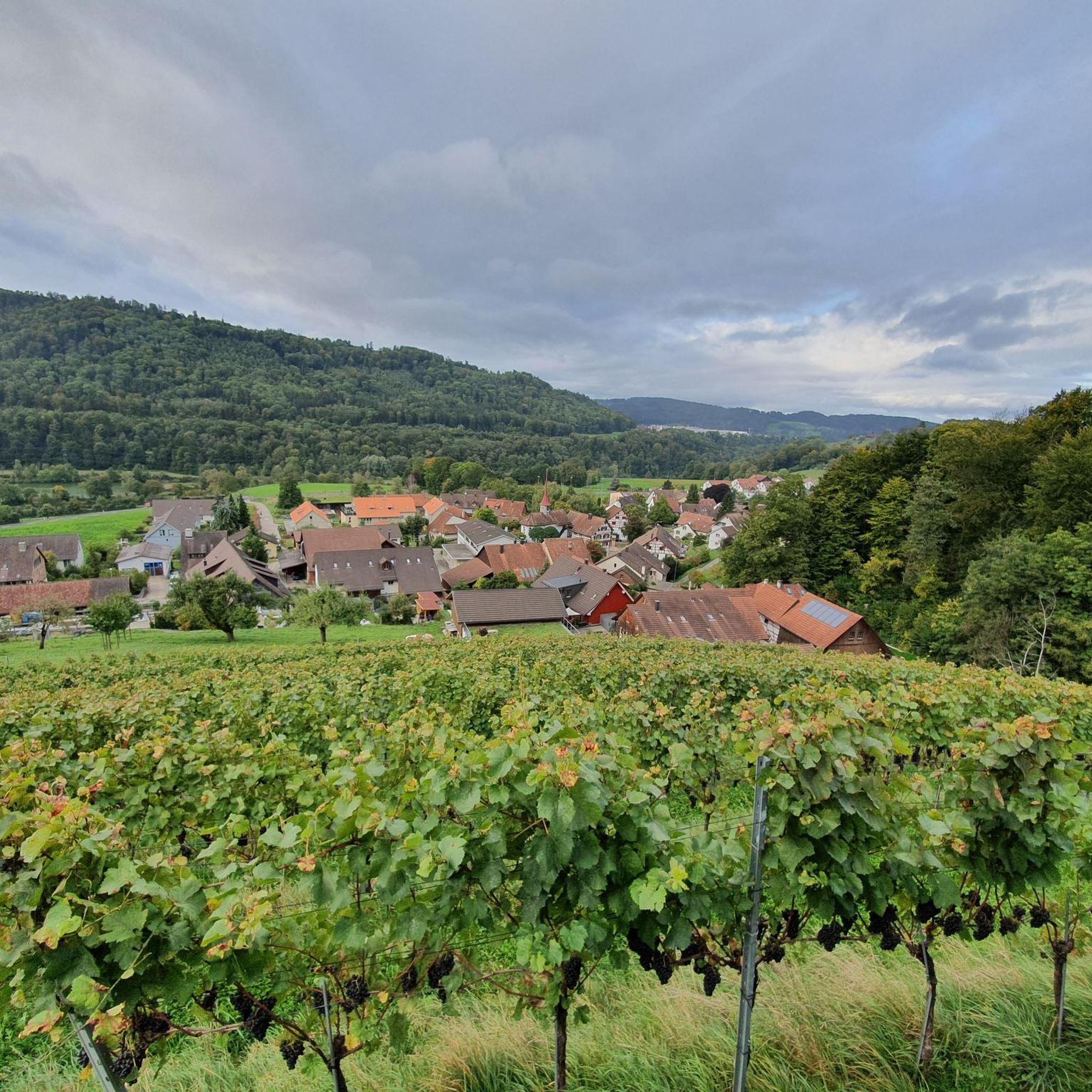
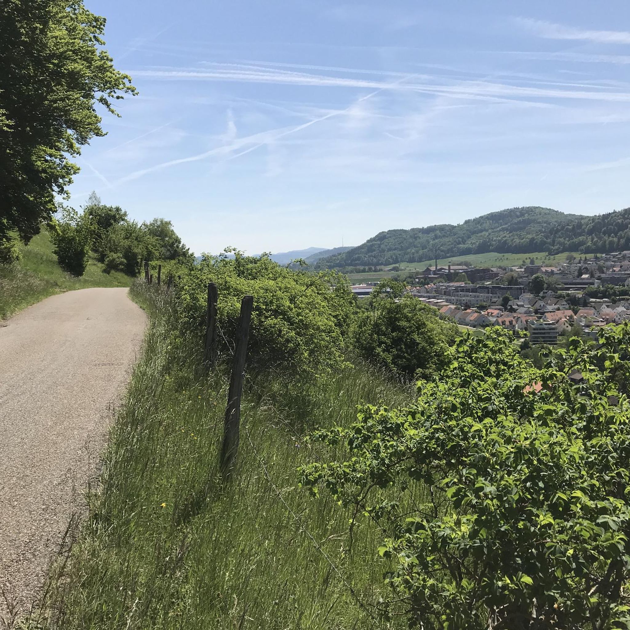
Touring cycling routes around Dättlikon traverse a varied landscape situated on the southern terrace of the Irchel elevation and within the lower Töss Valley. The municipality is characterized by extensive forests, covering 45.7% of its area, and agricultural land, making up 43%. This geography provides a mix of elevated terrain offering views and flatter paths along the valley.
Best touring cycling routes around Dättlikon
- The most popular touring cycling route is Railway viaduct near Zweidlen – Glatt River Cycle Path…
Last updated: October 13, 2026
4.7
(29)
152
riders
40.9km
02:39
490m
490m
Hard bike ride. Very good fitness required. Mostly paved surfaces. Suitable for all skill levels.
4.7
(9)
87
riders
33.3km
02:07
360m
360m
Moderate bike ride. Good fitness required. Mostly paved surfaces. Suitable for all skill levels.

5.0
(5)
74
riders
26.2km
02:15
500m
500m
Hard bike ride. Very good fitness required. You may need to push your bike for some segments of this route.
4.7
(9)
127
riders
54.0km
03:22
500m
500m
Hard bike ride. Very good fitness required. Mostly paved surfaces. Suitable for all skill levels.
5.0
(2)
16
riders
18.2km
01:07
110m
110m
Easy bike ride. Great for any fitness level. Mostly paved surfaces. Suitable for all skill levels.
Get access to more routes and recommendations from other explorers.
Already have an account?
Our route recommendations are based on thousands of hikes, rides, and runs completed by other people on komoot.
Start today with a free account
Your next adventure awaits.

Tips from the Community


Nordufer (Schlössli Wörth / Neuhausen): Use the S-Bahn line S9 to the Neuhausen Rheinfall station. An elevator will take you from the platform down to the free-access Rhine Falls basin.
0
0
Getting there by trainThe Rhine Falls are excellently connected to the Swiss rail network. There are two train stations directly at the waterfall: South bank (Schloss Laufen): Use the S-Bahn line S33 (from the direction of Winterthur/Zurich or Schaffhausen) to the Schloss Laufen am Rheinfall station. From there, a short walk or a glass panoramic elevator leads directly to the castle and the platforms.
0
0
Location: The excursion destination is located in the canton of Schaffhausen near the German border and can be reached in a short time from Lake Constance.
0
0
Local activities: Visitors can admire the waterfall from viewing platforms, travel close to the rocks on excursion boats, or even climb onto the middle rock.
0
0
Size and power: With a width of around 150 meters and a height of 23 meters, the Rhine Falls are the largest and most water-rich waterfall in all of Europe.
0
0

Pretty here, very pretty
0
1

Frequently Asked Questions
How many touring cycling routes are available around Dättlikon?
There are over 480 touring cycling routes in and around Dättlikon, offering a wide range of options for exploring the region's diverse landscapes.
What kind of terrain and difficulty levels can I expect for touring cycling routes in Dättlikon?
Dättlikon's touring cycling routes traverse a varied landscape, from the elevated views of the Irchel region to flatter paths along the Töss Valley. You'll find routes catering to all abilities, with approximately 90 easy, over 215 moderate, and around 175 difficult options available.
Are there family-friendly touring cycling routes in Dättlikon?
Yes, Dättlikon offers several easy touring cycling routes suitable for families. The flatter sections along the Töss Valley are particularly well-suited for relaxed rides. An example of an easy route is the Eulachersteg – Töss loop from Pfungen, which is just over 18 km long with minimal elevation gain.
Can I find circular touring cycling routes in the Dättlikon area?
Many of the touring cycling routes around Dättlikon are designed as loops, allowing you to start and end in the same location. For instance, the Berg am Irchel village center – Cycle Path Near Teufen loop from Pfungen offers a moderate 33 km circular ride, connecting charming village centers with scenic cycle paths.
What natural features and viewpoints can I discover along the touring cycling routes?
The Dättlikon area is rich in natural beauty. You can explore gorges and riverbanks like the Affenschlucht Waterfall and the Töss Riverbank. For panoramic views, consider routes that pass by the Hochwacht Irchel viewpoint or the Eschenberg Tower.
Are there any historical sites or landmarks to see while cycling?
Yes, the region offers historical points of interest. You might encounter sites like the Rhinsberg Prehistoric Hillfort or the Hohen-Tüfen Castle Site, adding a cultural dimension to your ride. The Rheinau Monastery – Rheinau Covered Bridge loop from Pfungen also takes you past significant landmarks.
What is the best time of year for touring cycling in Dättlikon?
The most popular times for touring cycling in the Dättlikon region are typically April and May, when the weather is pleasant and the natural scenery is vibrant. However, the well-maintained paths and diverse landscapes make it enjoyable throughout the spring, summer, and early autumn months.
What do other touring cyclists enjoy the most about touring cycling in Dättlikon?
The area is highly rated by the komoot community, with an average score of 4.5 stars from over 1,700 reviews. Reviewers often praise the varied terrain, the tranquil routes through forests and agricultural land, and the well-integrated network of cycling paths that offer both elevated views and peaceful valley rides.
Are there any routes that follow rivers or offer waterside views?
Yes, several routes incorporate the Töss River Valley and other waterways. The Railway viaduct near Zweidlen – Glatt River Cycle Path loop from Pfungen, for example, follows the Glatt River, offering scenic waterside sections.
Are there routes that explore the Irchel elevation?
Absolutely. Dättlikon is situated on the southern terrace of the Irchel elevation, providing access to routes that climb into these elevated areas. The Irchel Tower – Hochwacht Irchel viewpoint loop from Pfungen is a prime example, leading you through the heart of the Irchel elevation with rewarding views.
Most popular routes around Dättlikon
Most popular attractions around Dättlikon

Get inspired with the komoot mobile app


Explore more
Browse the best Cycling routes in other regions.
